
Search for another town

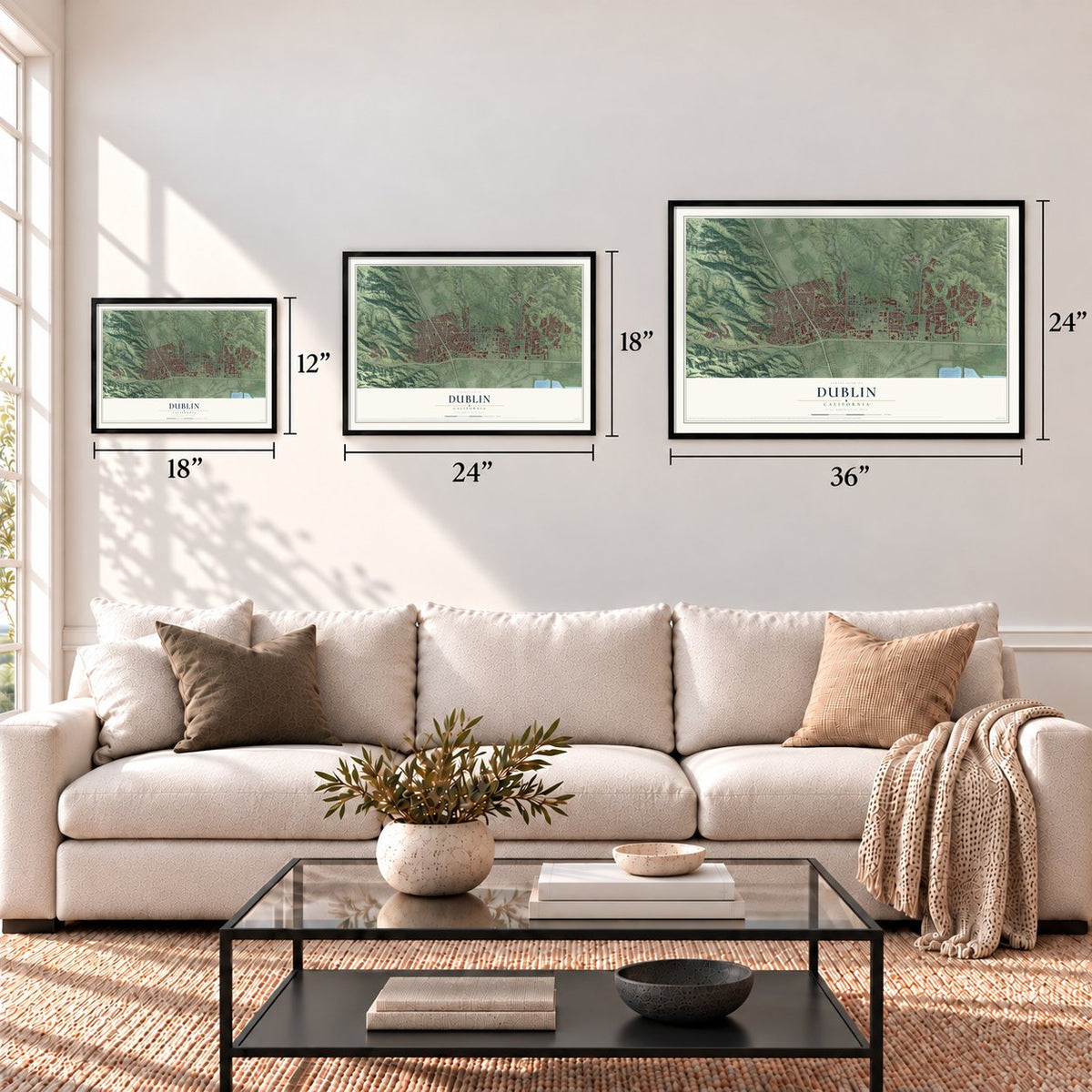
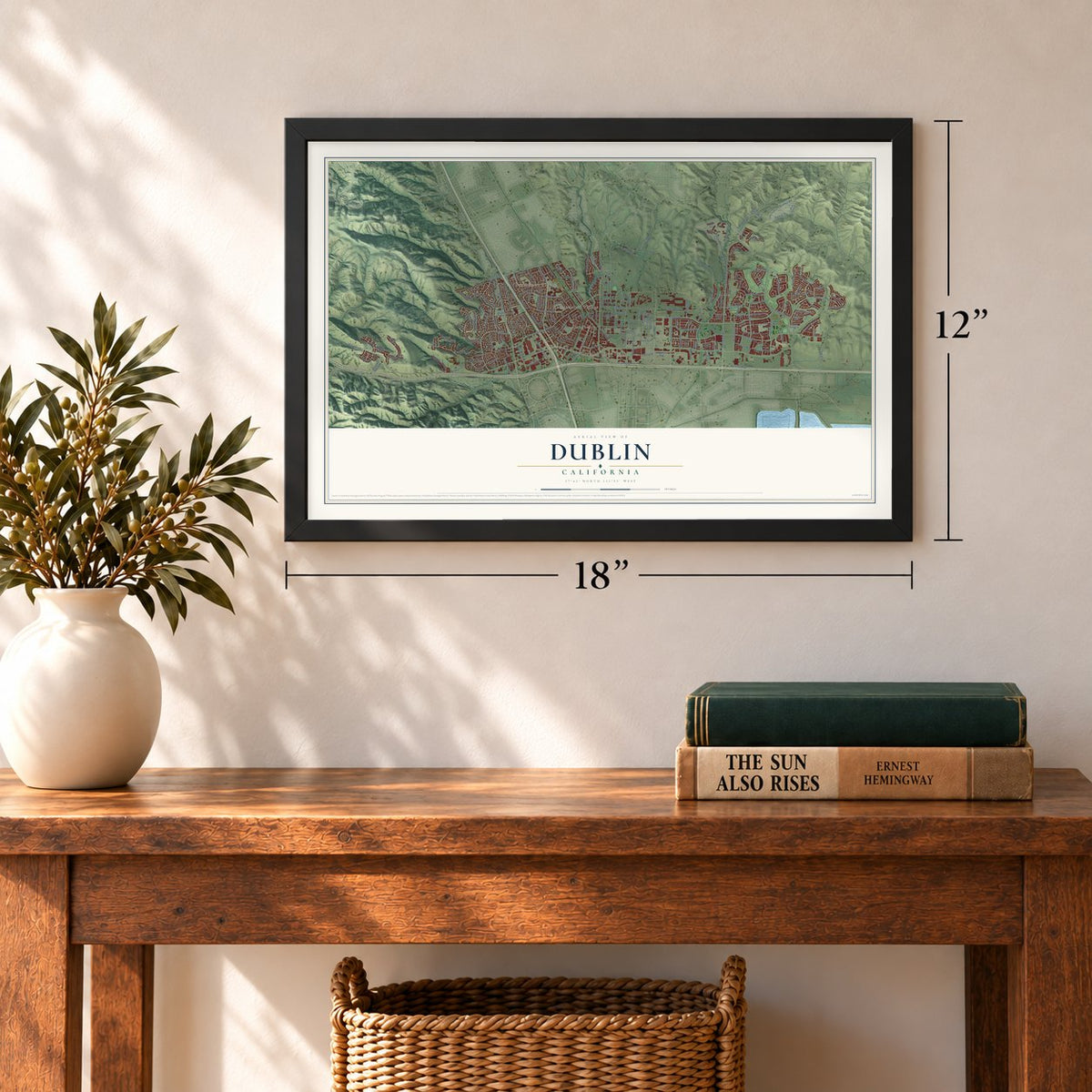
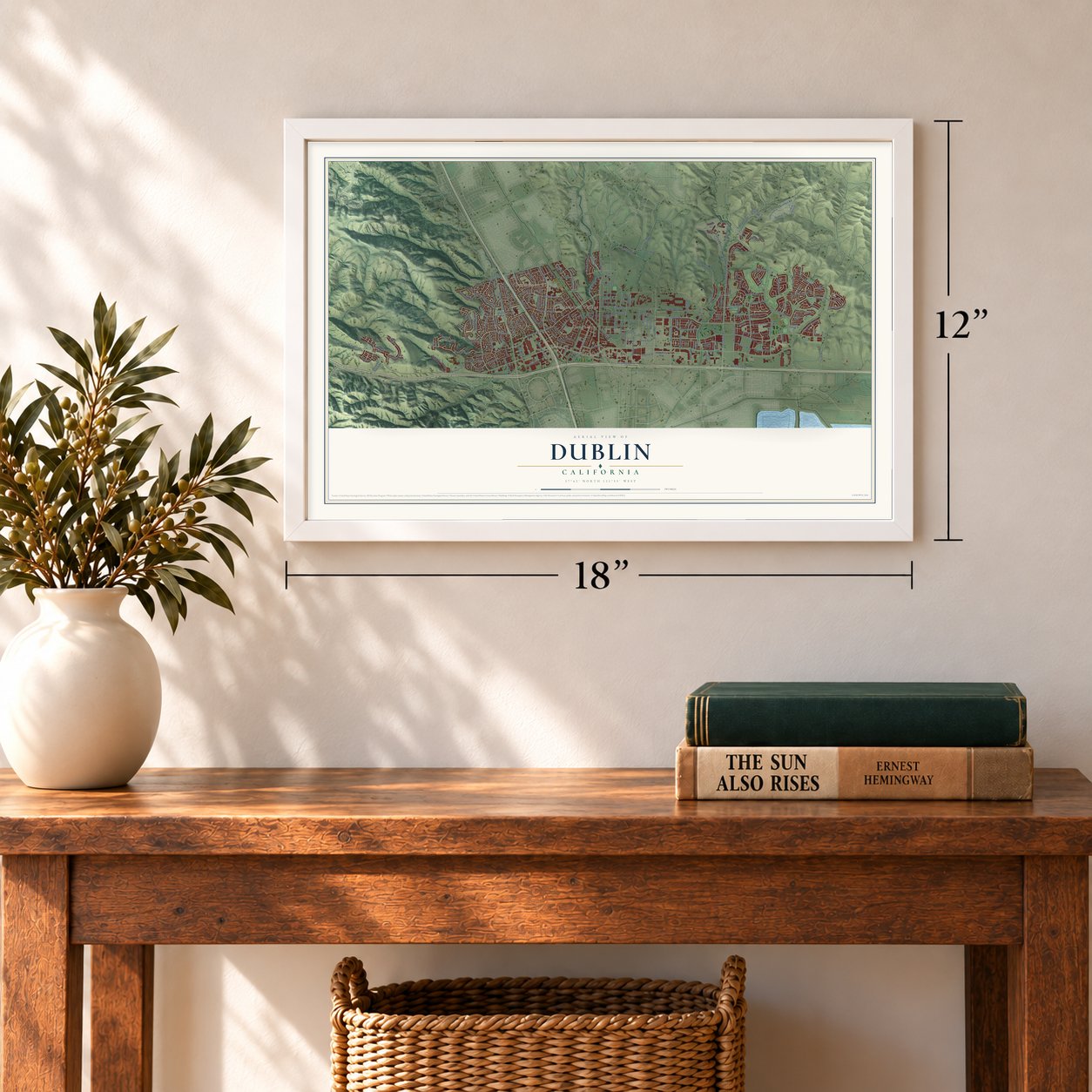

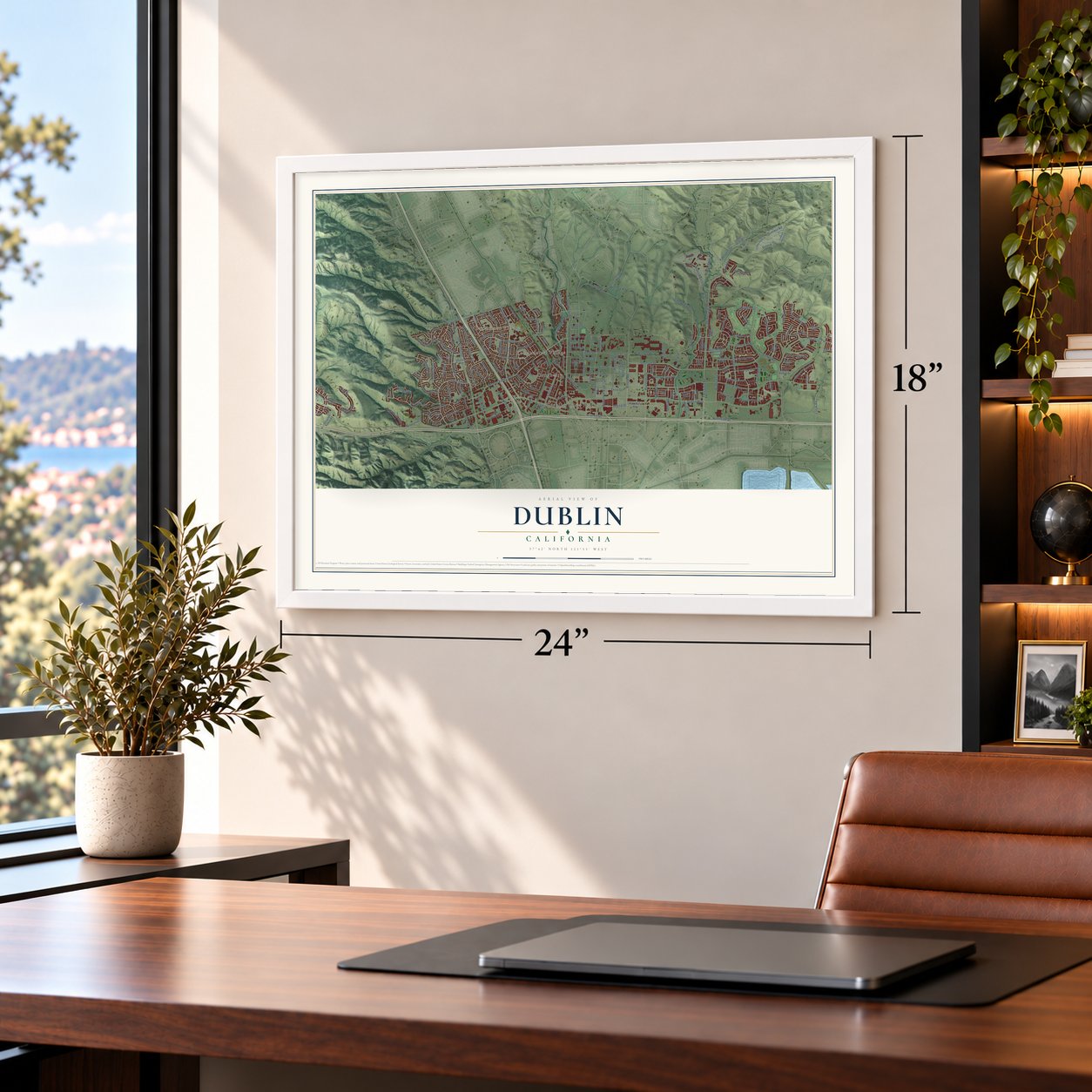


Free U.S. delivery 7 to 10 days after you order
Dublin, California Map Art
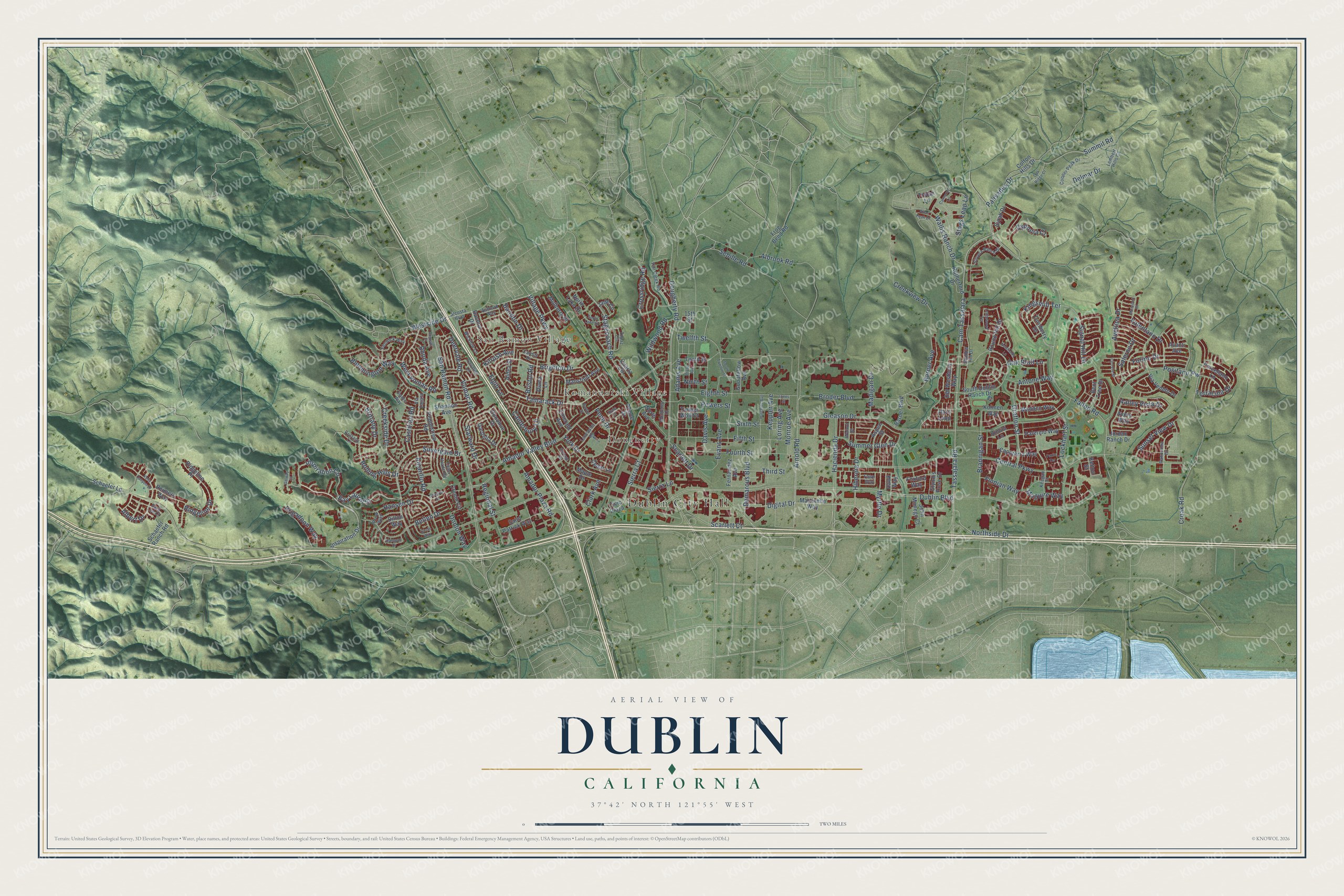
A new map of Dublin, California, made in 2026 and printed to order on thick archival matte paper.
12" x 18" Archival Matte Print
A Map of Home. A Work of Art.
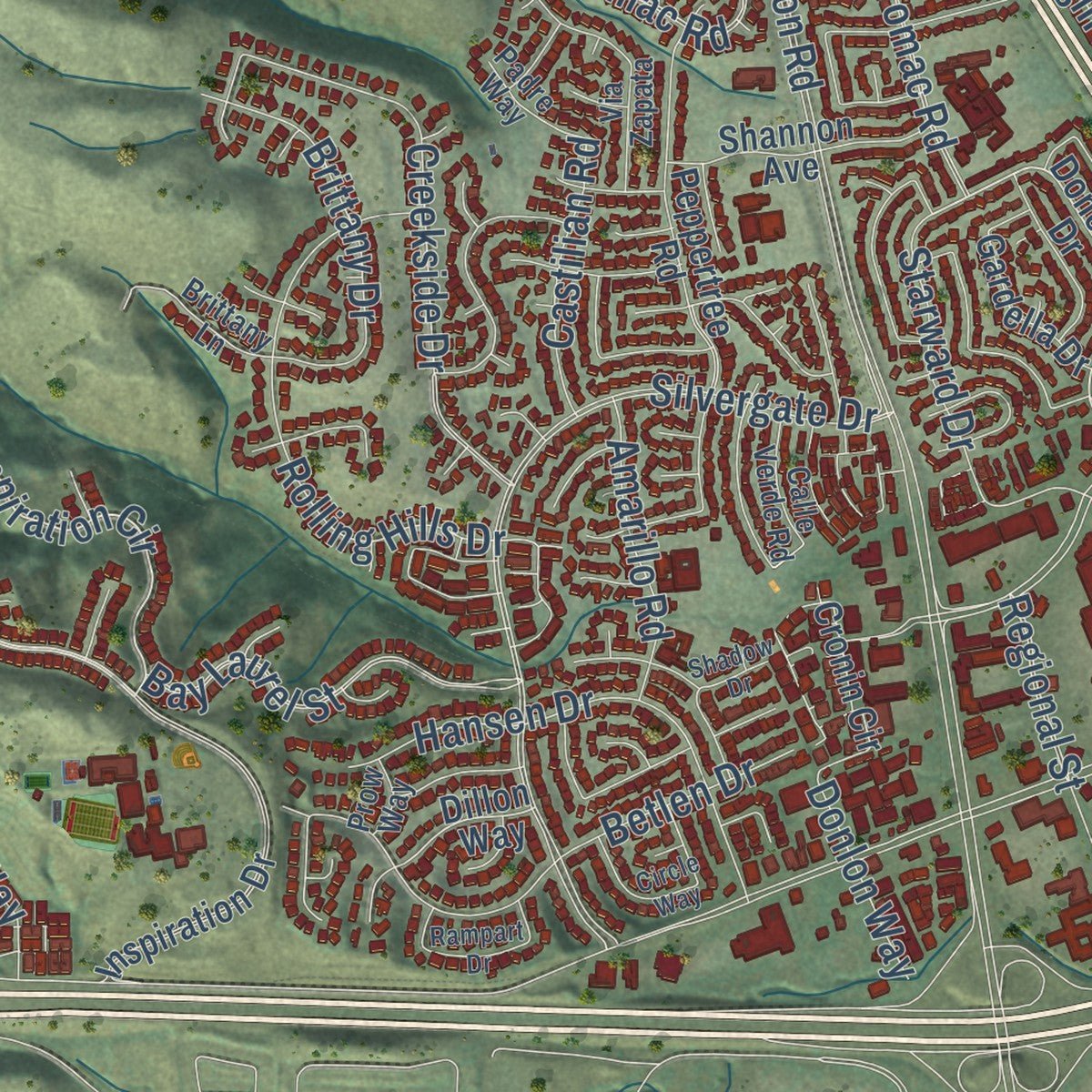
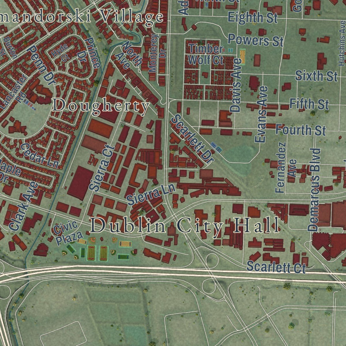
Explore Dublin, California from a whole new perspective. Created using aerial imagery and detailed geographic data, this map captures Dublin building by building, with labeled streets, familiar landmarks, and shaded topographical relief that highlights the natural contours of the landscape.
Combining modern data with the timeless character of a vintage atlas, this map is just as interesting up close as it is beautiful on the wall. Whether you grew up in Dublin, spent memorable years there, or call it home today, this unique map is a great way to celebrate a place that means something to you. Zoom in on the preview to look for your street, and then order a print to put your memories on the wall.
Three ways to hang it
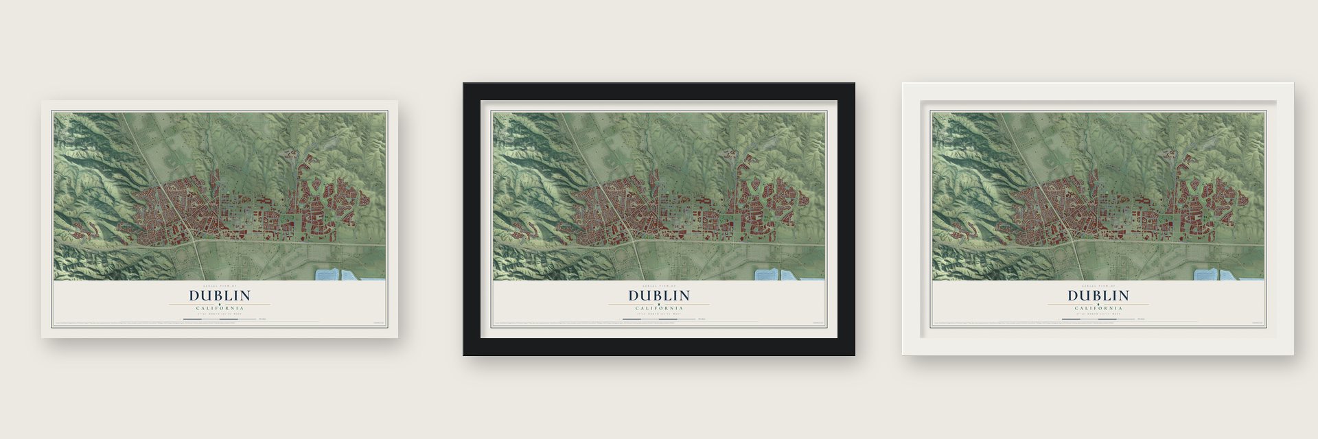
Unframed archival matte, a black wood frame or a white wood frame.
Up close
Geography Worth Displaying
This map was created using accurate cartographic data and authoritative geographic sources, including the U.S. Geological Survey and the Census Bureau. The map brings together terrain, waterways, roads, and building detail. The majority of the streets are labeled, houses are accurately depicted, and the topography is derived from government sources. Combining local data with carefully composed color and shading leads to this beautifully detailed Dublin artwork for your wall.
Rather than simply showing street outlines, we’ve included as many of the street names as we could reasonably fit on the map while keeping their names legible. Zoom in on the high resolution preview to see exactly what’s on the map. We truly set out to create a statement piece for anyone who loves Dublin. So whether it’s for you, or a gift for someone you love, we hope this map of Dublin brings back fond memories.
Read the story behind this map of Dublin, California from 2026.

About Dublin, California
Dublin is a city of 72,589 people in Alameda County, in the Amador Valley of the Tri-Valley region. In 1835 José María Amador received 16,500 acres as a reward for serving as a Mexican soldier and an administrator at Mission San Jose, and the valley still carries his name. In 1850 a group of Irish settlers purchased land from Amador and laid out a town. So many Irish lived here that the post office took the name Dublin in the 1890s.
The place was first known as Alamilla Springs, for a spring near where Dublin Boulevard and Dougherty Road meet today. That road later became part of the Lincoln Highway and then U.S. Route 50. Dublin stayed rural until 1960, when the first housing tracts went up in West Dublin. It kept growing as a place to live and shop, and it incorporated as a city in February 1982.
- Old St. Raymond's, 1859Old St. Raymond's Church was built in 1859 and is the oldest Catholic church still standing in Alameda and Contra Costa counties. It remains on its original site as one of the earliest wood churches in Alameda County, and it joined the National Register in 2006.
- A schoolhouse and a storeThe Murray Schoolhouse opened in 1856 with 50 pupils, and Green's Store followed in 1860. A congregation, the Dublin Church of Christ, now meets in the old store. Burials in the churchyard had begun before the Dublin Pioneer Cemetery became official in 1859. All of these sit where Donlon Way, once the north end of the road to Sunol and Niles Canyon, crosses Dublin Boulevard.
- A stray cannonball in 2011On December 6, 2011, a cannonball fired while MythBusters was filming at Camp Parks flew through a nearby house and came to rest in a car. No one was hurt. Adam Savage and Kari Byron later thanked the town with a student engineering event at Dublin High School, and the Dublin Film Commission turned December 6 into a yearly film festival day. The first one, on December 6, 2012, handed out Golden Cannonball Awards at the Dublin Library.
- Saint Patrick's Day weekendDublin marks its Irish name every Saint Patrick's Day with a parade sponsored by the Rotary Club, a 5K run and walk, a pancake breakfast put on by the firefighters and a two-day festival. The festival moved from Shamrock Village to the Civic Center on Dublin Boulevard in 2007, putting it closer to the growing east side of the city.
Find your street
Names on the Dublin map
Every name below is printed on this map. Look for your street, your school, the park where you played, or the pond down the road.
Places and landmarks4
- Dublin City Hall
- San Ramon Village
- Dougherty
- Komandorski Village
Streets and roads208
- Digital Drive
- Demarcus Boulevard
- Tassajara Road
- Arnold Road
- Inspiration Circle
- Village Parkway
- Cam Tassajara
- Myrtle Drive
- Powers Street
- Valley Vista Drive
- Clark Avenue
- Fallon Road
- Dublin Boulevard
- Central Parkway
- Amador Valley Boulevard
- Dougherty Road
- Gleason Drive
- San Ramon Road
- Sebille Road
- Silvergate Drive
- Brighton Drive
- Stagecoach Road
- Croak Road
- Tamarack Drive
- Hacienda Drive
- Creekview Drive
- Grafton Street
- Bay Laurel Street
- Palisades Drive
- West Vomac Road
Show all 208 streets
- Creekside Drive
- Albrook Road
- Twelfth Street
- Fifth Street
- Eighth Street
- Positano Pw
- Vomac Road
- Sixth Street
- Fourth Street
- Bloomington Way
- Adams Avenue
- Rolling Hills Drive
- Betlen Drive
- Broder Boulevard
- Lockhart Street
- Third Street
- Monroe Avenue
- Finnian Way
- Hansen Drive
- Davis Avenue
- Keppler Avenue
- Wallis Ranch Drive
- Regional Street
- Wildwood Road
- Brannigan Street
- Sierra Court
- Stags Leap Lane
- Terracina Drive
- Scarlett Court
- Barner Avenue
- Forino Drive
- Valentano Drive
- Amador Plaza Road
- Brittany Drive
- Northside Drive
- Starward Drive
- Kingsmill Terrace
- Cydonia Court
- Canterbury Lane
- Summer Glen Drive
- Avellina Drive
- Signal Hill Drive
- Ridgeline Drive
- Brigadoon Way
- Sunset View Drive
- Madigan Drive
- Amarillo Road
- York Drive
- Salerno Drive
- Crossridge Road
- Rhoda Avenue
- Antone Way
- Castilian Road
- Penn Drive
- Sierra Lane
- Evans Avenue
- Hibernia Drive
- Loring Avenue
- Elgin Lane
- Delmar Drive
- Bandon Drive
- Deervale Road
- Maguire Way
- Westside Drive
- Oak Bluff Lane
- Donlon Way
- Scarlett Drive
- Bristol Road
- Summit Road
- Kilrush Avenue
- Albert Drive
- Ninth Street
- Martinelle Way
- Round Hill Drive
- Donohue Drive
- Fernandez Avenue
- South Dublin Ranch Drive
- Dillon Way
- Davona Drive
- Inspiration Drive
- Peppertree Road
- Jordan Ranch Drive
- Syrah Drive
- Palermo Way
- Turnberry Drive
- Rutherford Drive
- Cronin Circle
- Schaefer Ranch Road
- Bent Tree Drive
- Madden Way
- Goodfellow Avenue
- North Avenue
- Capoterra Way
- Shannon Avenue
- Aspen Street
- Prince Drive
- Maple Drive
- Colton Hills Drive
- North Lake Drive
- Tenth Street
- Gardella Drive
- Frog Bend Road
- Glynnis Rose Drive
- Via Veneto Drive
- Mansfield Avenue
- Reimers Way
- Porcellano Lane
- Rimini Lane
- Old Westbury Way
- Avanti Avenue
- Saint Patrick Way
- Jade Circle
- Kohnen Way
- Emerald Avenue
- Schaefer Lane
- Mulberry Place
- Quartz Circle
- Civic Plaza
- Barner Boulevard
- John Monego Court
- Timber Wolf Court
- Aldea Street
- Diana Lane
- Cedar Lane
- Ridgeline Place
- Avery Way
- Haro Loop
- Foxford Way
- Hawk Way
- Trolan Lane
- Kelton Street
- 15th Street
- Ashford Way
- Fall Creek Road
- Shadow Hill Drive
- Wicklow Lane
- Via Zapata
- Silvera Ranch Drive
- Lembert Hills Court
- Cooper Peak Drive
- Fenwick Way
- Panorama Drive
- Lancaster Road
- Cavalier Lane
- Topaz Circle
- Keegan Street
- Monterey Drive
- Alcosta Boulevard
- Cardiff Drive
- Calle Verde Road
- Padre Way
- Walnut Street
- Fawn Way
- Brittany Lane
- Sara Lee Court
- Prow Way
- Atlas Peak Drive
- Hutchins Avenue
- Newfields Lane
- Circle Way
- Kelly Canyon Drive
- Ledgewood Terrace
- Rampart Drive
- South Lake Drive
- Carneros Lane
- Cerreto Street
- Jones Street
- Portage Road
- Moorjani Street
- Shadow Drive
- Bryan Avenue
- Oak Ridge Court
- South Twelfth Street
- Augusta Court
- Galway Court
- Burton Street
- Hyde Court
- Fazio Terrace
Names are listed as they appear on the printed map. Zoom into the product photos to find them.
The art of mapping a place
How This Map Was Made
Real places. Remarkable detail. Discover the layers that turn geographic data into a map of home.

The view from above
Aerial imagery reveals the character of the land: woodland, open fields, and the patterns of a place.

The shape of the land
Elevation data brings hills, valleys, and subtle changes in the landscape into view.

The details of home
Roads, waterways, and building footprints come together to make the map feel unmistakably local.

Geography becomes art
Considered color, shading, and typography bring the layers together in a map made for your wall.


Process illustrated with Mendon, Massachusetts. Aerial imagery: USDA NAIP. Terrain: USGS 3D Elevation Program. Map details and finished artwork: KNOWOL.
The Details
About This Print
Choose an archival matte print, or a black or white Ayous wood frame. The archival matte print is unframed.
Select your size and finish above to see the matching product image and price.
Materials & Craftsmanship
A contemporary map with the character of a classic atlas, printed on archival matte paper. Optional frames are made from Ayous wood.
Your printed map does not include the watermark shown in the full-map preview.
Shipping & Delivery
Free shipping within the United States. Every print is made to order in the USA.
Buying a gift? Add a note in your cart and we'll include it. We never put prices in the package.
Prints ship within 2 to 3 business days. Allow 7 to 10 days total from ordering for delivery. Timing may vary during holidays or periods of high order volume.
Read our shipping policy.
Returns and damaged prints
Each print is made to order. Change-of-mind refunds are not available after production.
If your print arrives damaged, misprinted or incorrect, contact support@knowol.com within 30 days of receiving it. Include your order number, photos and a description of the issue.
Read our full refund and replacement policy. For questions about your order, email support@knowol.com.
Find your town
Looking for another city?
Find a map of home in our California collection, or any town in the country.
Nearby
Maps of towns near Dublin
Know someone from one of these towns? Their map makes a great gift.
 Pleasanton
, California
From $39.99See the map
 San Ramon
, California
From $39.99See the map
 Camino Tassajara
, California
From $39.99See the map
More maps nearby: Norris Canyon, Tassajara, Blackhawk, Livermore and Danville.