
Search for another town




Free U.S. delivery 7 to 10 days after you order
Livermore, California Map Art
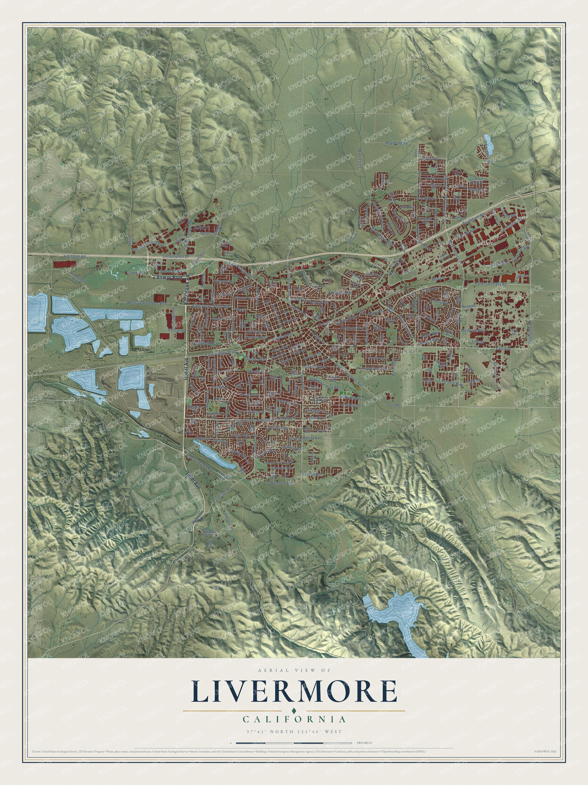
A new map of Livermore, California, made in 2026 and printed to order on thick archival matte paper.
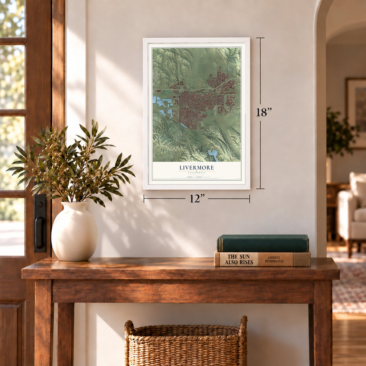
12" x 18" Archival Matte Print
A Map of Home. A Work of Art.
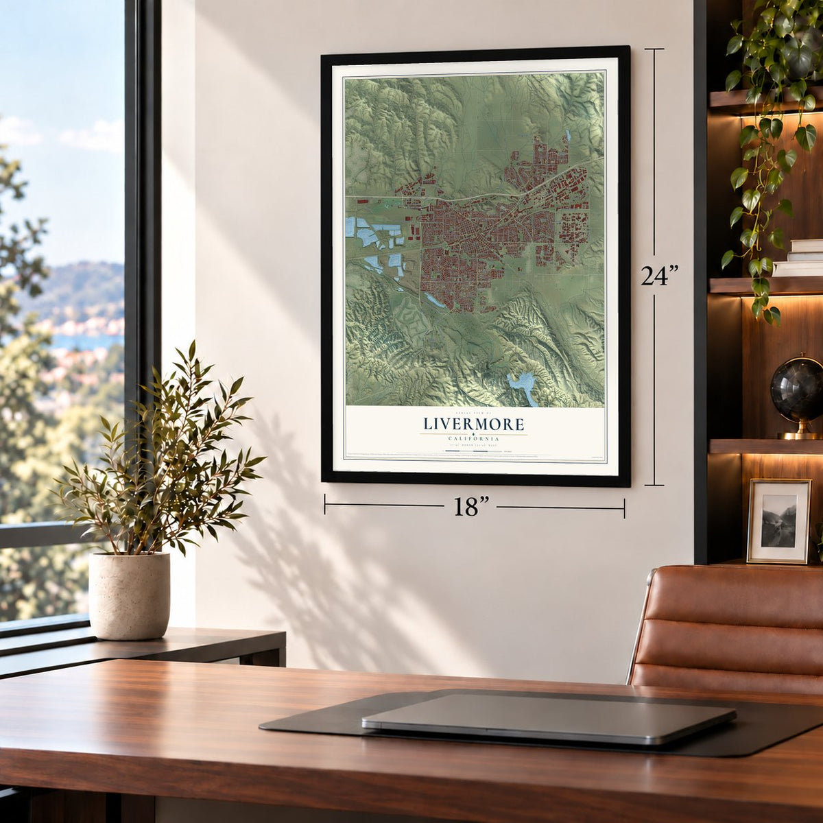
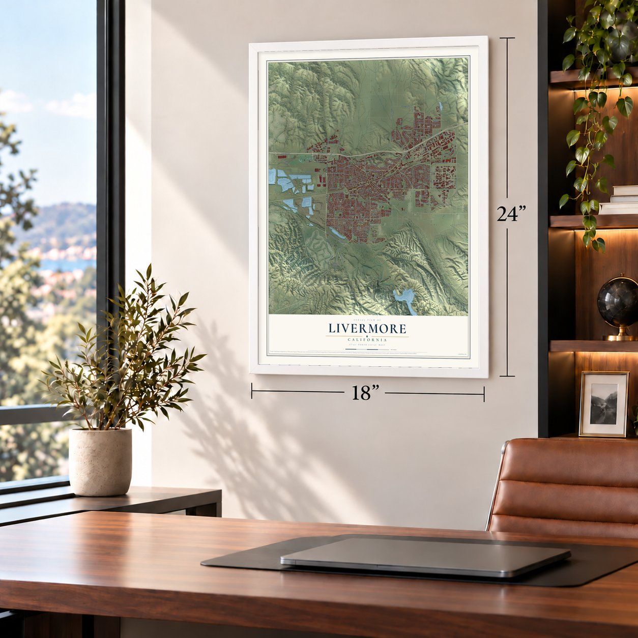
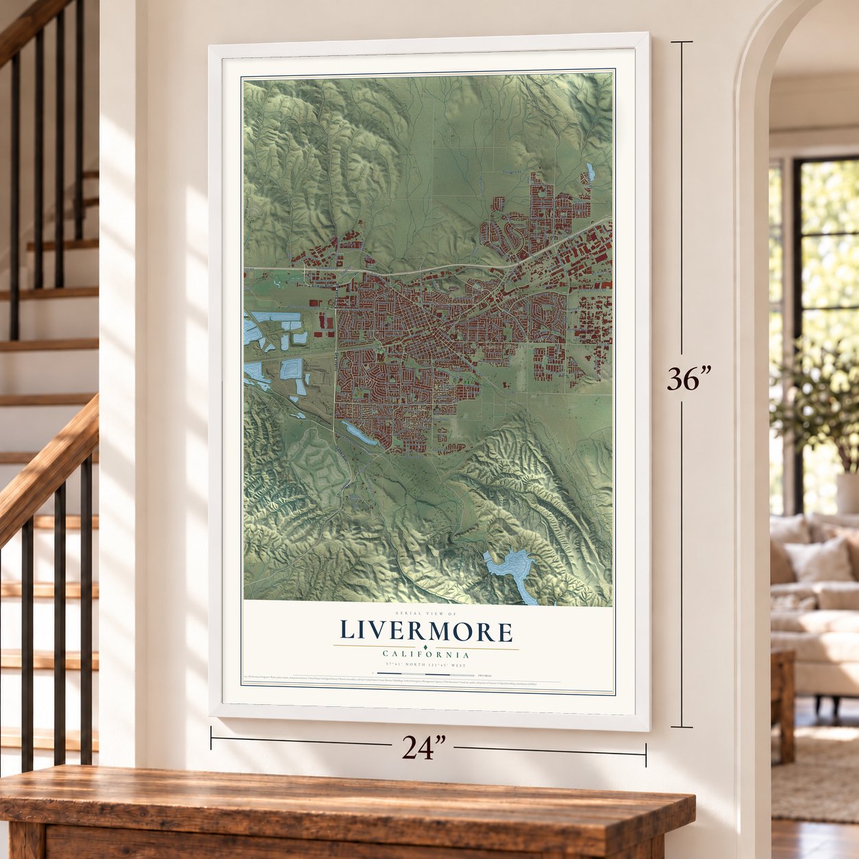
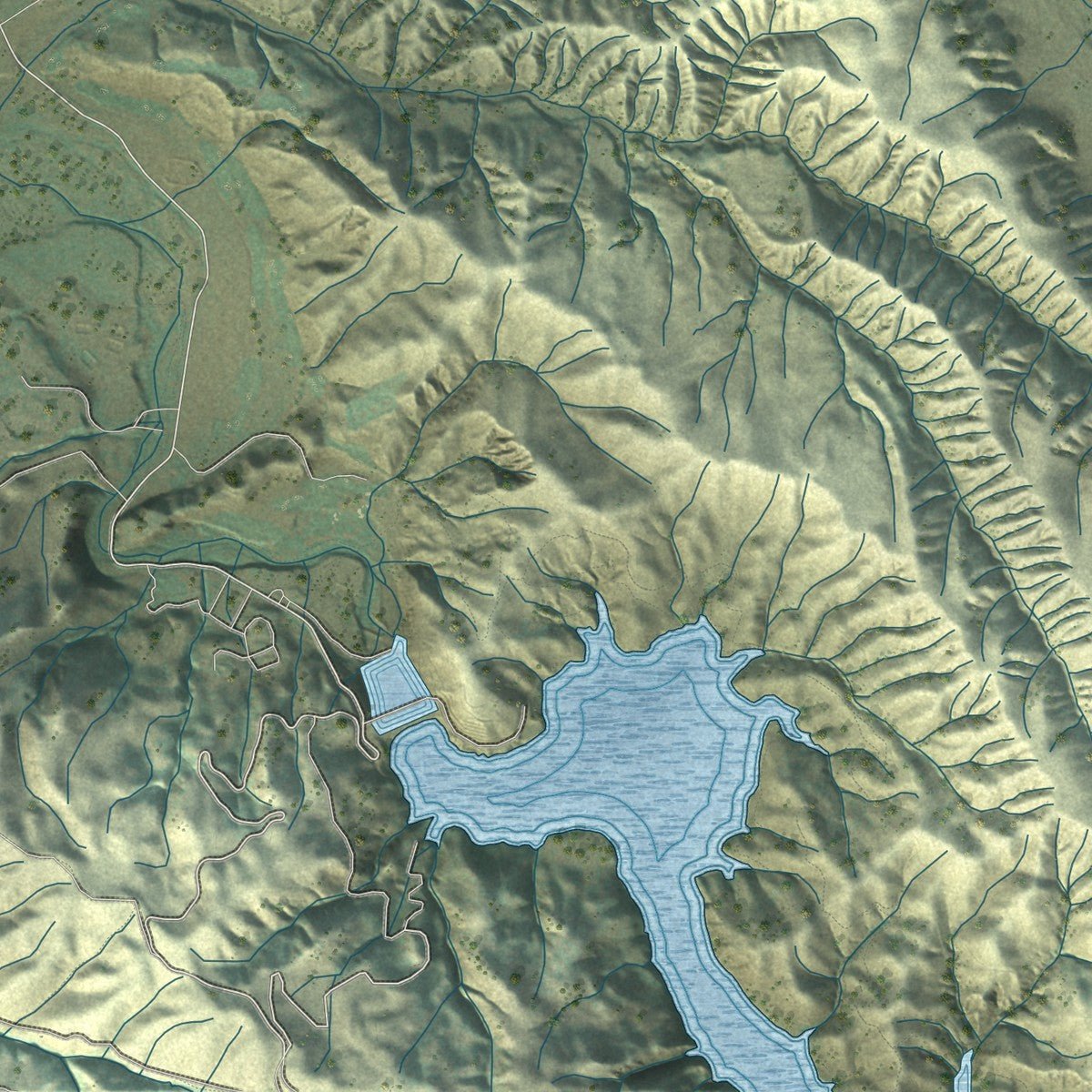
Explore Livermore, California from a whole new perspective. Created using aerial imagery and detailed geographic data, this map captures Livermore building by building, with labeled streets, familiar landmarks, and shaded topographical relief that highlights the natural contours of the landscape.
Combining modern data with the timeless character of a vintage atlas, this map is just as interesting up close as it is beautiful on the wall. Whether you grew up in Livermore, spent memorable years there, or call it home today, this unique map is a great way to celebrate a place that means something to you. Zoom in on the preview to look for your street, and then order a print to put your memories on the wall.
Three ways to hang it
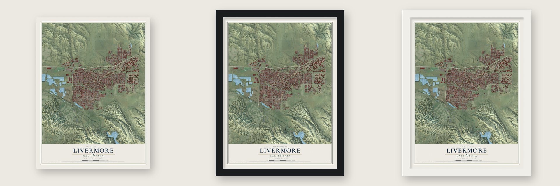
Unframed archival matte, a black wood frame or a white wood frame.
Up close
Geography Worth Displaying
This map was created using accurate cartographic data and authoritative geographic sources, including the U.S. Geological Survey and the Census Bureau. The map brings together terrain, waterways, roads, and building detail. The majority of the streets are labeled, houses are accurately depicted, and the topography is derived from government sources. Combining local data with carefully composed color and shading leads to this beautifully detailed Livermore artwork for your wall.
Rather than simply showing street outlines, we’ve included as many of the street names as we could reasonably fit on the map while keeping their names legible. Zoom in on the high resolution preview to see exactly what’s on the map. We truly set out to create a statement piece for anyone who loves Livermore. So whether it’s for you, or a gift for someone you love, we hope this map of Livermore brings back fond memories.
Read the story behind this map of Livermore, California from 2026.

About Livermore, California
Livermore is a city of 87,955 people in Alameda County, on the eastern edge of the Bay Area. Robert Livermore, an English-born sailor, received the Rancho Las Positas grant with Jose Noriega in 1839 and moved his family there in the early 1840s. During the Gold Rush he sold beef cattle to miners. Travelers bound for Altamont Pass stopped at his ranch, so people began calling the place Livermore's Valley.
Robert Livermore died in 1858. In 1869 his friend William Mendenhall set aside 100 acres for a townsite and named it for him. Mendenhall also gave land for a station on the Western Pacific Railroad, and the town was registered on November 4, 1869. After a fire in 1871, Laddsville, an older settlement that grew up around Alponso Ladd's hotel, became part of Livermore. Livermore was incorporated as a city on April 1, 1876.
- Wine since the 1840sRobert Livermore planted the valley's first vines in the 1840s. Charles Wetmore, James Concannon and C. H. Wente each started a winery here in the 1880s. Wente Vineyards, Concannon Vineyards and Cresta Blanca Winery went on to shape the whole valley's wine trade.
- From air base to labIn 1942 the government bought 692 acres that had been ranch land, and Navy pilots trained there for World War II at Livermore Naval Air Station. After the war the base was handed to the Radiation Laboratory of the University of California. In 1952 it took the name Lawrence Livermore National Laboratory. Its scientists helped discover livermorium, which put the city's name on the periodic table.
- A bulb burning since 1901The Centennial Light was first screwed in during 1901, in the fire department's hose cart house on L Street. It now hangs at Livermore-Pleasanton Fire Department Station 6, and it has stayed lit almost without a break ever since.
- A rodeo since 1918The Livermore Rodeo began in 1918 as a World War I fundraiser for the Red Cross. It is still held every year.
Find your street
Names on the Livermore map
Every name below is printed on this map. Look for your street, your school, the park where you played, or the pond down the road.
Places and landmarks3
- Livermore City Hall
- Ulmar
- Trevarno
Streets and roads280
- Isabel Avenue
- Kitty Hawk Road
- Airway Boulevard
- Concannon Boulevard
- Portola Avenue
- East Airway Boulevard
- East Vineyard Avenue
- Vallecitos Road
- Arroyo Road
- East Stanley Boulevard
- Madeira Way
- Fourth Street
- South Livermore Avenue
- Scenic Avenue
- North Canyons Parkway
- East Jack London Boulevard
- West Jack London Boulevard
- First Street
- Kalthoff Cmn
- Selby Lane
- College Avenue
- Brisa Street
- Anna Maria Street
- Santorina Drive
- Murrieta Boulevard
- Railroad Avenue
- Third Street
- Marigold Road
- Lindbergh Avenue
- North North Street
Show all 280 streets
- Orion Way
- Stealth Street
- East Avenue
- Las Positas Road
- South Vasco Road
- Patterson Pass Road
- Holmes Street
- North Mines Road
- Charlotte Way
- Southfront Road
- Murdell Lane
- Springtown Boulevard
- North Vasco Road
- National Drive
- Olivina Avenue
- Hansen Road
- Pine Street
- Preston Avenue
- Greenville Road
- Rincon Avenue
- Collier Canyon Road
- El Caminito
- Wall Street
- Fifth Street
- Vasco Road
- Alden Lane
- Junction Avenue
- Laughlin Road
- Dalton Avenue
- Constitution Drive
- Wetmore Road
- Hillcrest Avenue
- Lomitas Avenue
- Maple Street
- Arlene Way
- Lexington Way
- Felicia Avenue
- Freisman Road
- Robertson Park Road
- Catalina Drive
- Sixth Street
- Helsinki Way
- Sunset Drive
- Raymond Road
- Broadmoor Street
- Palm Avenue
- Daisyfield Drive
- Heidelberg Drive
- Elm Street
- Hanover Street
- Mesquite Way
- Rhododendron Drive
- Superior Drive
- Central Avenue
- Vintage Lane
- Lavendar Avenue
- Pestana Way
- Encino Drive
- Stadium Way
- Seventh Street
- Edinburgh Drive
- El Padro Drive
- Hazel Street
- Park Street
- Alameda Drive
- Sandia Drive
- Voyager Street
- Joyce Street
- Curlew Road
- Trinity Hills Lane
- Kennedy Street
- Kathy Way
- Lorraine Road
- Norma Way
- Rutan Drive
- Cedar Drive
- Guilford Avenue
- Caldeira Drive
- Longard Road
- Ventura Avenue
- Sonia Street
- Aster Lane
- Marina Avenue
- Altair Avenue
- Oriole Avenue
- Ruby Road
- Vienna Street
- Hilliker Place
- Merlot Lane
- Village Drive
- Pearl Drive
- Lilac Avenue
- Mocho Street
- Lucille Street
- Vineyard Avenue
- Chateau Way
- Kalthoff Cm 515
- Fire Lane
- Old Oak Road
- Tesla Road
- Mars Road
- Las Positas Boulevard
- North Livermore Avenue
- Bluebell Drive
- Second Street
- Sunflower Court
- Mines Road
- Hagemann Drive
- Discovery Drive
- Wagoner Drive
- Dana Circle
- Loyola Way
- Alison Circle
- Yosemite Drive
- Almond Avenue
- Estates Street
- Westgate Drive
- South Front Road
- Ontario Drive
- Tahoe Drive
- Crestmont Avenue
- Research Drive
- Jensen Street
- Wisteria Way
- Idlewild Avenue
- Lawrence Drive
- Doolan Road
- Via Granada
- Ames Street
- Cowan Way
- Cheryl Drive
- Delaware Way
- Altamont Creek Drive
- Marathon Drive
- Melanie Way
- Monterey Drive
- Pomona Way
- Clubhouse Drive
- Oakville Lane
- Darwin Avenue
- Pyramid Street
- Obsidian Way
- Vivian Drive
- Florence Road
- Fontonett Avenue
- Drake Way
- Bianca Way
- Big Basin Road
- Bellmawr Drive
- Campus Hill Drive
- Andrea Circle
- Thornhill Drive
- Vetta Drive
- Lido Drive
- Falcon Way
- Buckskin Road
- Anza Way
- Adelle Street
- Pulsar Avenue
- Lee Avenue
- Fennel Way
- Carnegie Way
- Scott Street
- Owl Way
- Elvira Street
- Hall Circle
- Saturn Way
- Coleen Street
- Hudson Way
- Gamay Road
- Grace Street
- Sutter Street
- Thrasher Avenue
- Mission Lane
- Autumn Oak Drive
- Siena Road
- Hillside Avenue
- Nissen Drive
- Carla Street
- Latour Avenue
- Cll del Rey
- Vinci Way
- Ladd Avenue
- Triad Drive
- Arbor Avenue
- Julie Street
- Duke Way
- Northfront Road
- Bennett Drive
- Rivers Bend Circle
- Hollyhock Street
- Normandy Circle
- Stockton Loop
- Bess Avenue
- Linden Street
- Regent Road
- Rocky Ridge
- Bellflower Street
- Tiffany Cmn
- Arrowhead Avenue
- Las Colinas Road
- Del Norte Drive
- Las Flores Road
- Spruce Street
- South Naylor Road
- Katrina Street
- Sonoma Avenue
- Jefferson Avenue
- Lagiss Drive
- Roselli Drive
- Geneva Street
- Genoa Street
- School Street
- Covey Way
- Miranda Way
- Lloyd Street
- Creek Road
- Prato Way
- Bernal Avenue
- Elston Street
- Marie Cmn
- Rutan Court
- Dawn Street
- Flagg Lane
- Dovecote Lane
- Waverly Way
- North Greenville Road
- Leahy Way
- Heather Lane
- Tranquility Circle
- Waverly Cmn
- Farnsworth Drive
- Hampton Road
- Arroyo Vis
- Fenton Street
- Pasatiempo Street
- Sheffield Drive
- Talinga Drive
- Crater Road
- Amber Way
- Paris Way
- Kinglet Road
- Roma Street
- Meritage Cmn
- Erica Way
- Franklin Lane
- Rubicon Way
- Devon Place
- Donner Avenue
- Jami Street
Names are listed as they appear on the printed map. Zoom into the product photos to find them.
The art of mapping a place
How This Map Was Made
Real places. Remarkable detail. Discover the layers that turn geographic data into a map of home.

The view from above
Aerial imagery reveals the character of the land: woodland, open fields, and the patterns of a place.

The shape of the land
Elevation data brings hills, valleys, and subtle changes in the landscape into view.

The details of home
Roads, waterways, and building footprints come together to make the map feel unmistakably local.

Geography becomes art
Considered color, shading, and typography bring the layers together in a map made for your wall.


Process illustrated with Mendon, Massachusetts. Aerial imagery: USDA NAIP. Terrain: USGS 3D Elevation Program. Map details and finished artwork: KNOWOL.
The Details
About This Print
Choose an archival matte print, or a black or white Ayous wood frame. The archival matte print is unframed.
Select your size and finish above to see the matching product image and price.
Materials & Craftsmanship
A contemporary map with the character of a classic atlas, printed on archival matte paper. Optional frames are made from Ayous wood.
Your printed map does not include the watermark shown in the full-map preview.
Shipping & Delivery
Free shipping within the United States. Every print is made to order in the USA.
Buying a gift? Add a note in your cart and we'll include it. We never put prices in the package.
Prints ship within 2 to 3 business days. Allow 7 to 10 days total from ordering for delivery. Timing may vary during holidays or periods of high order volume.
Read our shipping policy.
Returns and damaged prints
Each print is made to order. Change-of-mind refunds are not available after production.
If your print arrives damaged, misprinted or incorrect, contact support@knowol.com within 30 days of receiving it. Include your order number, photos and a description of the issue.
Read our full refund and replacement policy. For questions about your order, email support@knowol.com.
Find your town
Looking for another city?
Find a map of home in our California collection, or any town in the country.
Nearby
Maps of towns near Livermore
Know someone from one of these towns? Their map makes a great gift.
 Pleasanton
, California
From $39.99See the map
 Dublin
, California
From $39.99See the map
 Sunol
Sunol, California
From $39.99See the map
More maps nearby: Camino Tassajara, San Ramon, Blackhawk, Norris Canyon and Mountain House.