
Search for another town


Free U.S. delivery 7 to 10 days after you order
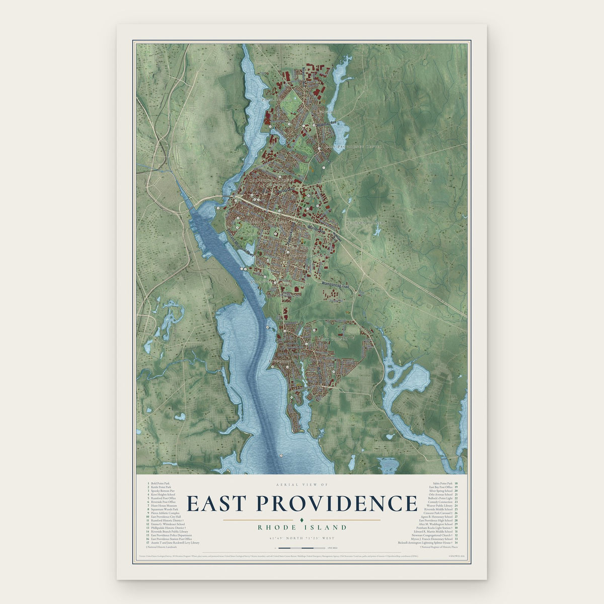
East Providence, Rhode Island Map Art
Building by building, with labeled streets and shaded relief.
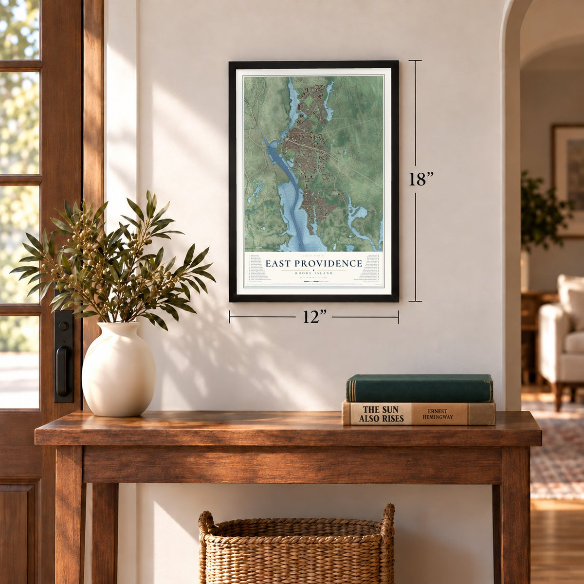
12" x 18" Archival Matte Print
A Map of Home. A Work of Art.
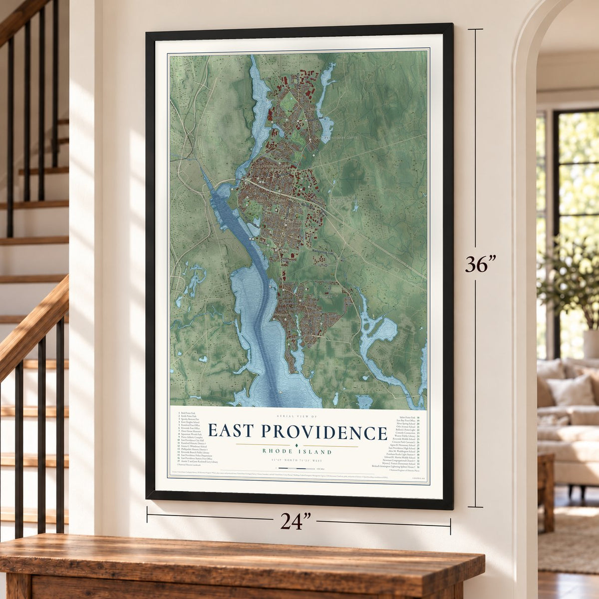
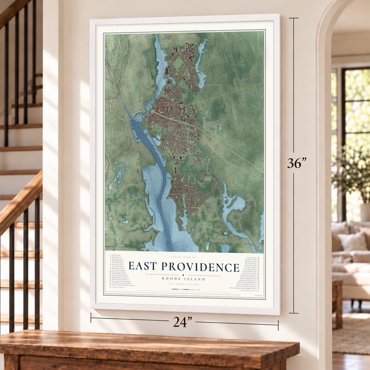
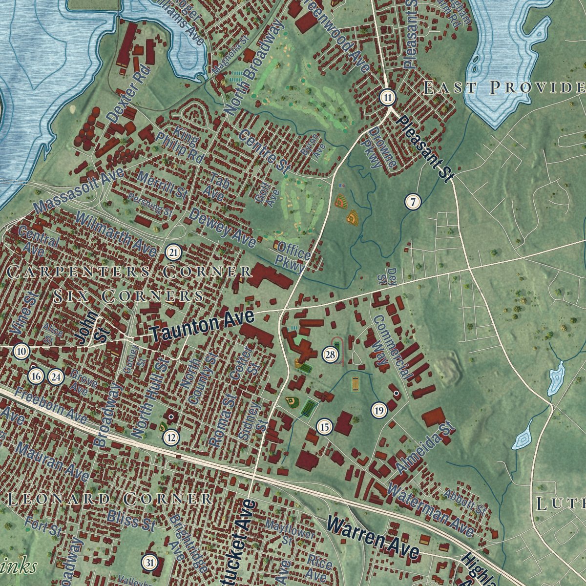
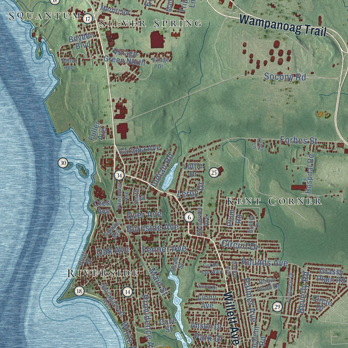
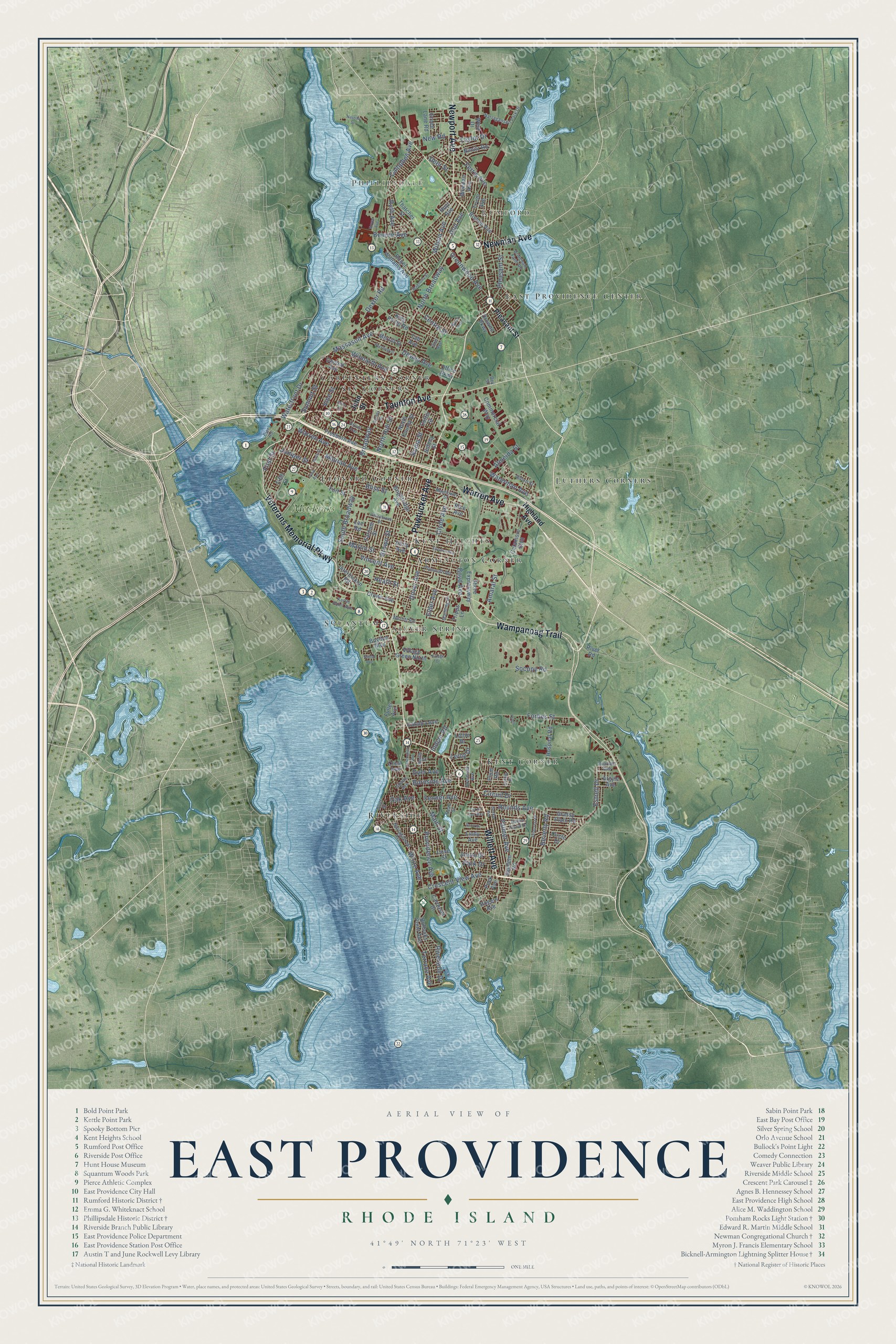
Explore East Providence, Rhode Island from a whole new perspective. Created using aerial imagery and detailed geographic data, this map captures East Providence building by building, with labeled streets, familiar landmarks, and shaded topographical relief that highlights the natural contours of the landscape.
Combining modern data with the timeless character of a vintage atlas, this map is just as interesting up close as it is beautiful on the wall. Whether you grew up in East Providence, spent memorable years there, or call it home today, this unique map is a great way to celebrate a place that means something to you. Zoom in on the preview to look for your street, and then order a print to put your memories on the wall.
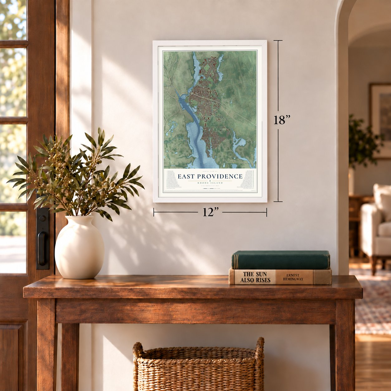
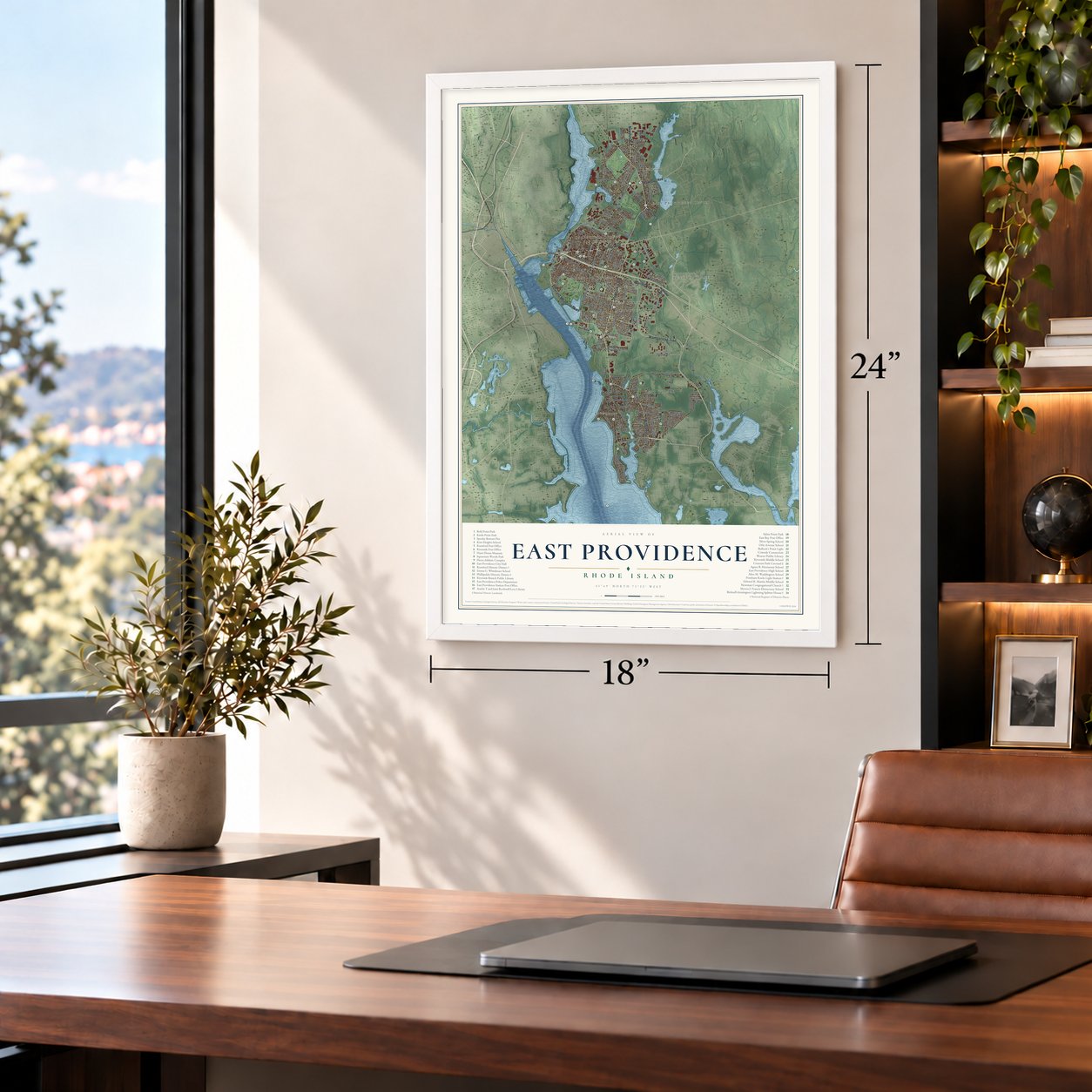
Three ways to hang it
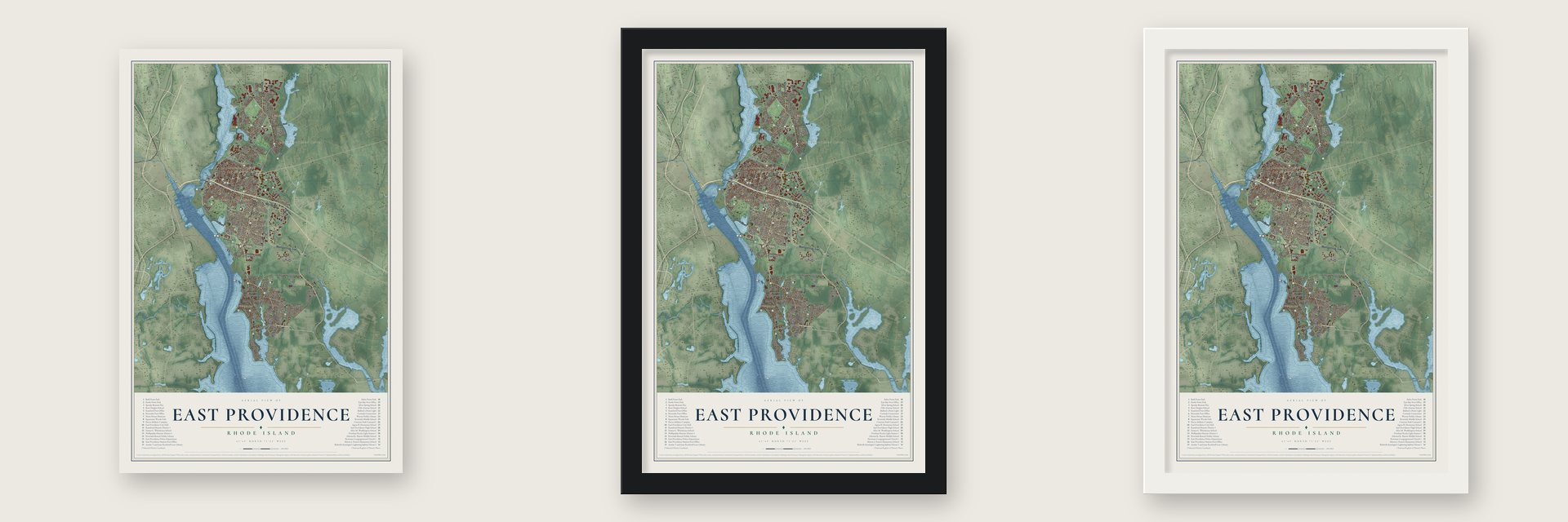
Unframed archival matte, a black wood frame or a white wood frame.
Up close
Geography Worth Displaying
This map was created using accurate cartographic data and authoritative geographic sources, including the U.S. Geological Survey (USGS) and FEMA. The map brings together terrain, waterways, roads, and building detail. The majority of the streets are labeled, houses are accurately depicted, and the topography is derived from government sources. Combining local data with carefully composed color and shading leads to this beautifully detailed East Providence artwork for your wall.
Rather than simply showing street outlines, we’ve included as many of the street names as we could reasonably fit on the map while keeping their names legible. Zoom in on the high resolution preview to see exactly what’s on the map. We truly set out to create a statement piece for anyone who loves East Providence. So whether it’s for you, or a gift for someone you love, we hope this map of East Providence brings back fond memories.
Explore the full map of East Providence, Rhode Island and read about the local places it shows.
Find your street
Names on the East Providence map
Every name below is printed on this map. Look for your street, your school, the park where you played, or the pond down the road.
Places and landmarks14
- Phillipsdale
- Rumford
- Riverside
- Squantum
- Luthers Corners
- Kent Heights
- Kent Corner
- Carpenters Corner
- East Providence Center
- Leonard Corner
- Six Corners
- Armington Corner
Show all 14 places
- Silver Spring
- Met Links
Streets and roads160
- Pawtucket Avenue
- Willett Avenue
- Veterans Memorial Parkway
- Wampanoag Trail
- Warren Avenue
- Taunton Avenue
- Newman Avenue
- Newport Avenue
- Waterman Avenue
- Massasoit Avenue
- Crescent View Avenue
- Mauran Avenue
- Socony Road
- North Broadway
- Forbes Street
- Dover Avenue
- Waterfront Drive
- South Broadway
- Ferris Avenue
- Greenwood Avenue
- Brown Street
- Burnside Avenue
- Boyd Avenue
- Amaral Street
- Juniper Street
- Wilson Avenue
- Don Avenue
- Providence Avenue
- Bourne Avenue
- Terrace Avenue
Show all 160 streets
- Martin Street
- Pleasant Street
- Rounds Avenue
- Riverside Drive
- Clyde Avenue
- Centre Street
- Beverly Road
- Campbell Avenue
- Estrell Drive
- Wilmarth Avenue
- Dexter Road
- First Street
- Summit Street
- Circuit Drive
- Broadway
- Vincent Avenue
- Fenner Avenue
- Palmer Avenue
- Taylor Drive
- Leroy Drive
- Deer Street
- New Road
- Ruth Avenue
- Bliss Street
- Almeida Street
- Dyer Avenue
- North Hull Street
- Vine Street
- Dewey Avenue
- Park Drive
- Roma Street
- Indian Road
- Elder Avenue
- Main Street
- White Avenue
- Heath Street
- Oak Avenue
- John Street
- Highland Avenue
- River Road
- Peck Avenue
- Bullocks Point Avenue
- Roger Williams Avenue
- Shore Expressway
- Fort Street
- Commercial Way
- Hospital Road
- Fifth Street
- Carousel Drive
- Central Avenue
- Brightridge Avenue
- Freeborn Avenue
- North County Street
- Hoyt Avenue
- Thatcher Street
- Rice Avenue
- Tripps Lane
- Interlocken Road
- Bishop Avenue
- Catamore Boulevard
- King Philip Road
- Grassy Plain Road
- Farnum Street
- Weeden Avenue
- Village Green North
- Tryon Avenue
- Fuller Avenue
- Anson Drive
- Sachem Road
- Plum Road
- Catalpa Avenue
- Crown Avenue
- Cove Street
- Green Lane Road
- Merrill Street
- Lindy Avenue
- Boyden Boulevard
- Argyle Avenue
- Nimitz Road
- West Drive
- Sidney Street
- Drowne Parkway
- Tab Avenue
- Rogers Avenue
- Cotter Street
- Unity Avenue
- Office Parkway
- Circle Drive
- Lee Road
- Lottie Drive
- Crest Avenue
- Narragansett Park Drive
- Kettle Point Avenue
- Narragansett Avenue
- Smith Street
- Plymouth Road
- Grove Avenue
- Mayflower Street
- Bridgham Farm Road
- Merritt Road
- Read Street
- Bluff Street
- Somerset Avenue
- Manning Drive
- Robin Hood Drive
- Abbott Street
- Reardon Avenue
- Adams Avenue
- Golf Avenue
- Pier Road
- Dey Street
- Lyon Avenue
- Becker Avenue
- Allerton Avenue
- Ferncrest Drive
- Griffith Drive
- Pershing Street
- Valleybrook Drive
- Ninth Street
- Scott Drive
- Magnolia Street
- Byron Avenue
- Cul de Sac Way
- Noyes Avenue
- Alice Street
- Astral Avenue
- Village Drive
- Nassau Street
- Gurney Street
- Leigh Lane
Names are listed as they appear on the printed map. Zoom into the product photos to find them.
About East Providence, Rhode Island
East Providence is a city of 47,139 people in Providence County, set between the Providence and Seekonk rivers and the Massachusetts line. Its oldest roots are in Rumford, at the north end, where the Newman Congregational Church started its own parish in 1643. The ground here belonged first to Rehoboth and then to Seekonk, both in Massachusetts, before it became East Providence, Rhode Island, in 1862.
Rumford is named for a brand of baking powder. Eben Norton Horsford, who taught chemistry at Harvard as holder of its Rumford Chair of Physics, created the first practical baking powder made with calcium phosphate. In 1859 he helped found the Rumford Chemical Works here, named for Sir Benjamin Thompson, Count Rumford. Rumford Baking Powder came out of those works, and the village post office borrowed the name. In 1898 the Wannamoisett Country Club opened on ground leased from the company, and in 1931 it hosted the PGA Championship.
- The carousel that stayedCharles I. D. Looff built the Crescent Park Carousel in 1895. After he moved his factory to the park in 1905, buyers picked horses from it for their own rides, and most of its figures date from 1905 to 1910. When the park closed in the late 1970s, local groups urged the city to keep it from being auctioned. Named a National Historic Landmark in 1987, it still runs every summer, and riders can still play its ring game.
- Clam-diggers of Cedar GroveRiverside went by Cedar Grove until 1878 and started out as farms and fishing ground. Its people dug clams, quahogs and oysters along the shore, which earned them the nickname "clam-diggers." By the late 1800s summer crowds came for its hotels, shore dinner halls and Crescent Park, where big bands played the Alhambra Ballroom beside a midway of roller coasters.
- A paper mill villagePhillipsdale grew up on the Seekonk River around the Richmond Paper Company mill, built between 1883 and 1887. From 1893 to 1910 it gave more people work than anywhere else in East Providence. Some 75 units of housing built for its workers still stand, along with Omega Pond, the old mill pond.
- Set aside in 1655Rehoboth reserved Little Neck Cemetery near Bullock Cove in 1655. Its graves include Captain Thomas Willett, who became New York City's first English mayor, and Elizabeth Tilley Howland, who crossed on the Mayflower as a girl.
- A hospital for childrenBradley Hospital opened in East Providence in 1931 as the nation's first psychiatric hospital built only for children. Today it serves as a teaching hospital where Brown University's Warren Alpert Medical School trains doctors.
Keep exploring Rhode Island
East Providence is one of 85 Rhode Island towns we've mapped. Every dot on the map is a print of its own.
The search covers every state, Rhode Island first.
Near East Providence
Order 2 or more town maps and save 10%. Shown in the size and finish you picked above, so they hang as a set.
- Elmwood 12" x 18" / Archival Matte Print $39.99
- Providence 12" x 18" / Archival Matte Print $39.99
- Federal Hill 12" x 18" / Archival Matte Print $39.99


More maps nearby: Auburn, Hampden Meadows, Wanskuck, Barrington and Pawtucket.
The art of mapping a place
How This Map Was Made
Real places. Remarkable detail. Discover the layers that turn geographic data into a map of home.

The view from above
Aerial imagery reveals the character of the land: woodland, open fields, and the patterns of a place.

The shape of the land
Elevation data brings hills, valleys, and subtle changes in the landscape into view.

The details of home
Roads, waterways, and building footprints come together to make the map feel unmistakably local.

Geography becomes art
Considered color, shading, and typography bring the layers together in a map made for your wall.


Process illustrated with Mendon, Massachusetts. Aerial imagery: USDA NAIP. Terrain: USGS 3D Elevation Program. Map details and finished artwork: KNOWOL.
The Details
About This Print
Choose an archival matte print, or a black or white Ayous wood frame. The archival matte print is unframed.
Select your size and finish above to see the matching product image and price.
Materials & Craftsmanship
A contemporary map with the character of a classic atlas, printed on archival matte paper. Optional frames are made from Ayous wood.
Your printed map does not include the watermark shown in the full-map preview.
Shipping & Delivery
Free shipping within the United States. Every print is made to order in the USA.
Buying a gift? Add a note in your cart and we'll include it. We never put prices in the package.
Prints ship within 2 to 3 business days. Allow 7 to 10 days total from ordering for delivery. Timing may vary during holidays or periods of high order volume.
Read our shipping policy.
Returns and damaged prints
Each print is made to order. Change-of-mind refunds are not available after production.
If your print arrives damaged, misprinted or incorrect, contact support@knowol.com within 30 days of receiving it. Include your order number, photos and a description of the issue.
Read our full refund and replacement policy. For questions about your order, email support@knowol.com.