
Search for another town





Free U.S. delivery 7 to 10 days after you order
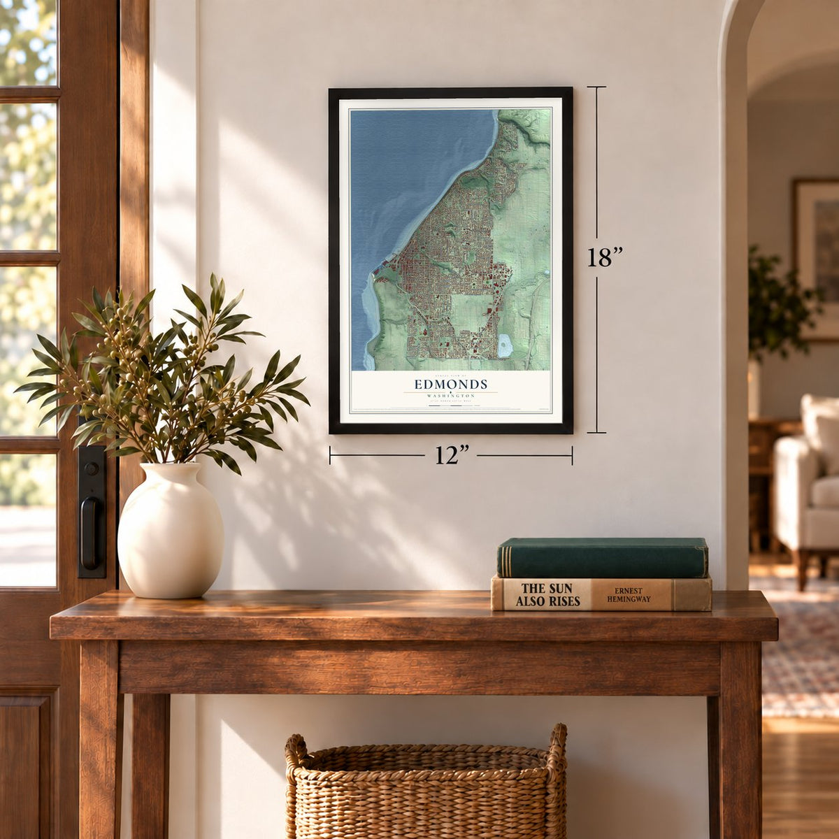
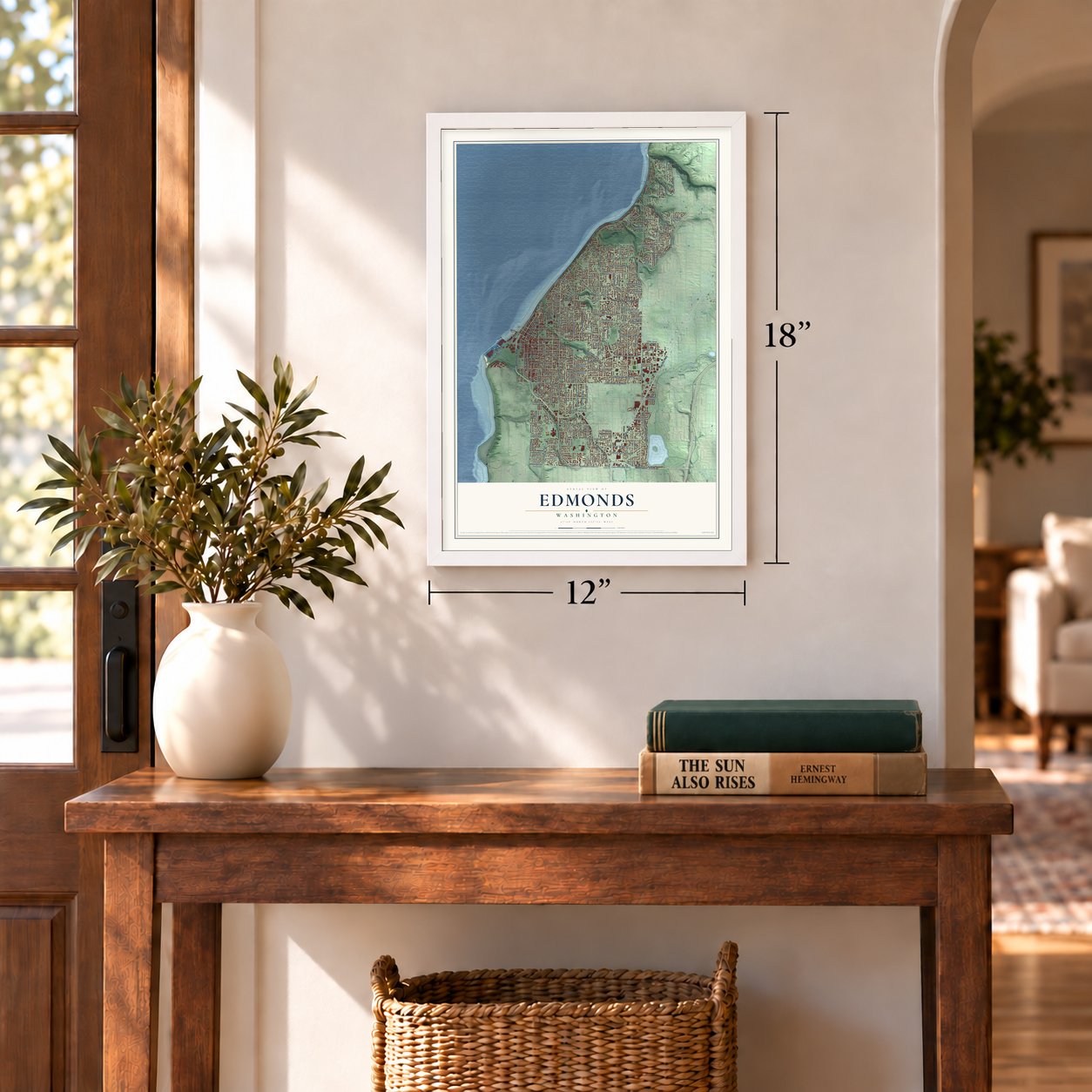
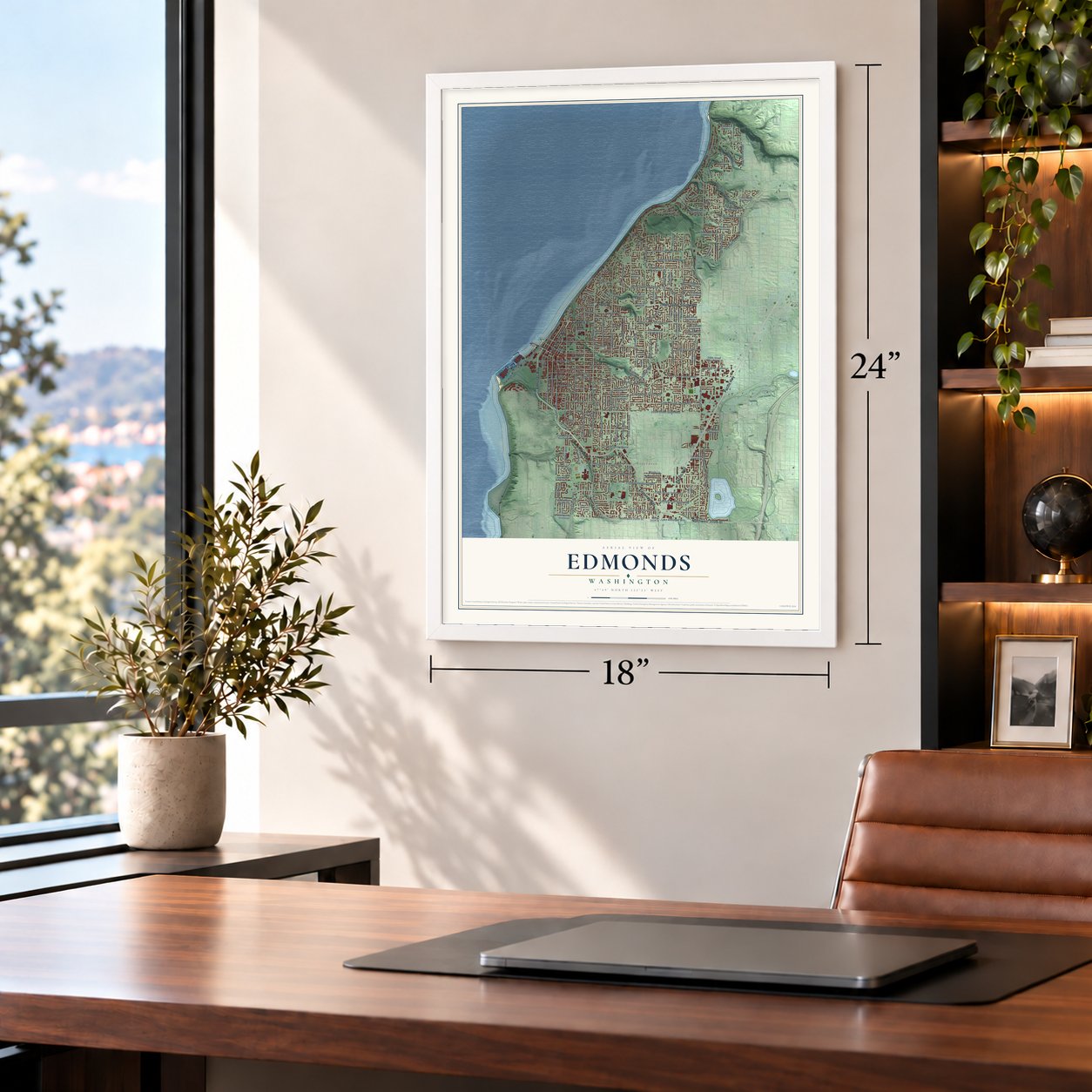
Edmonds, Washington Map Art
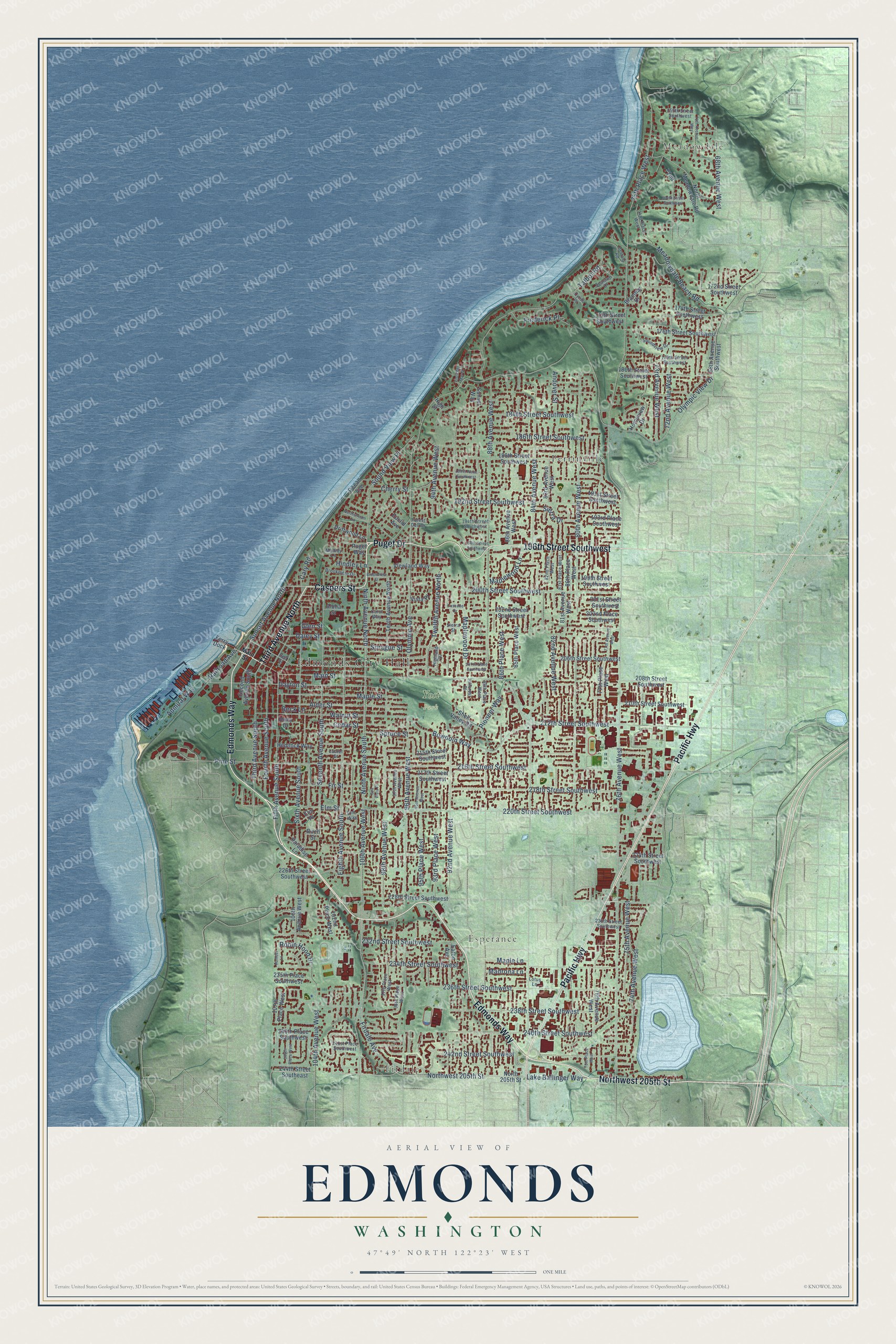
A new map of Edmonds, Washington, made in 2026 and printed to order on thick archival matte paper.
12" x 18" Archival Matte Print
A Map of Home. A Work of Art.
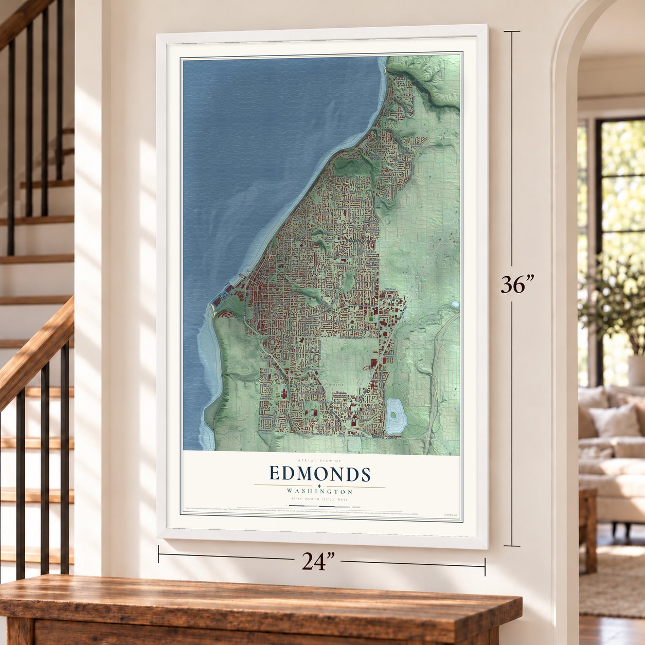
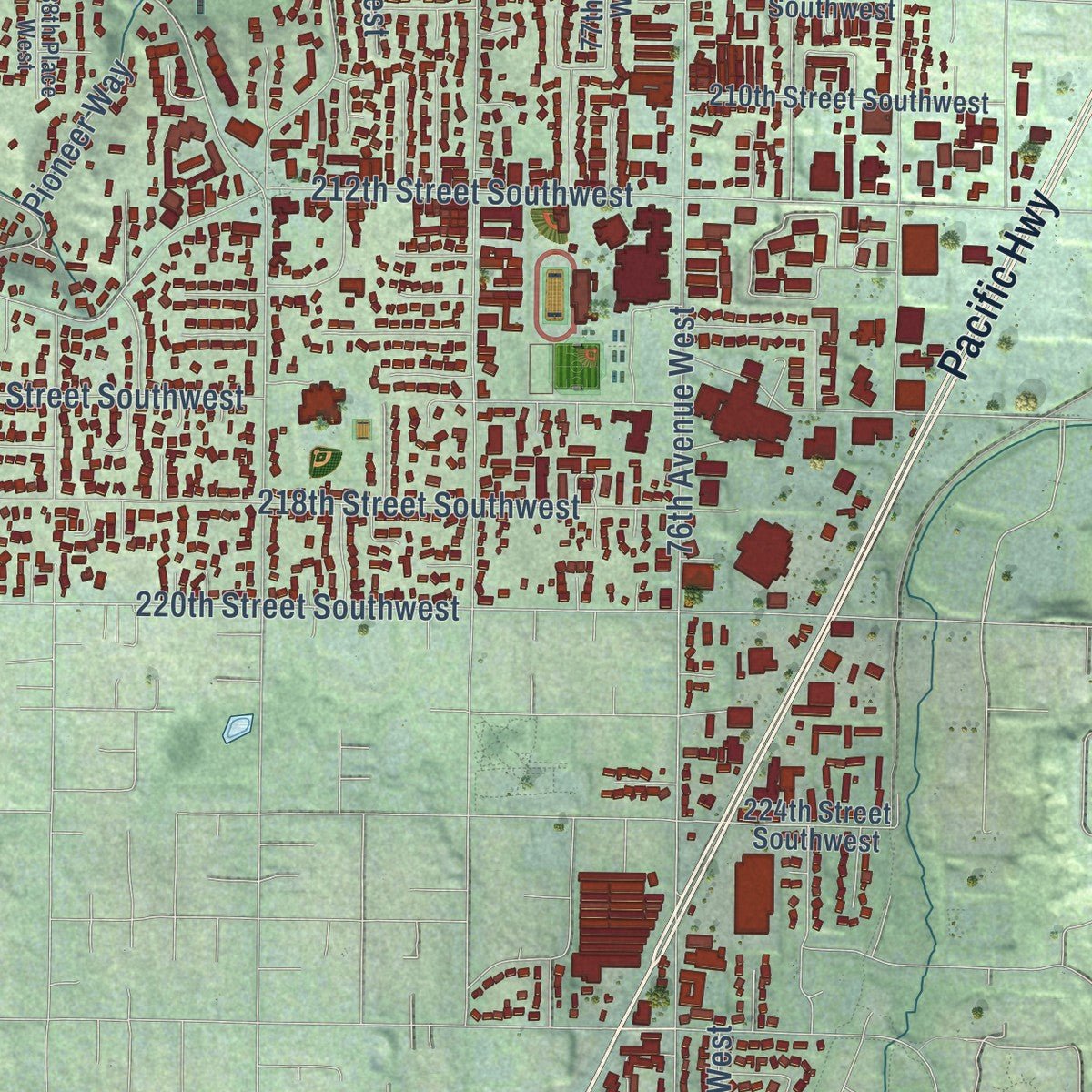
Explore Edmonds, Washington from a whole new perspective. Created using aerial imagery and detailed geographic data, this map captures Edmonds building by building, with labeled streets, familiar landmarks, and shaded topographical relief that highlights the natural contours of the landscape.
Combining modern data with the timeless character of a vintage atlas, this map is just as interesting up close as it is beautiful on the wall. Whether you grew up in Edmonds, spent memorable years there, or call it home today, this unique map is a great way to celebrate a place that means something to you. Zoom in on the preview to look for your street, and then order a print to put your memories on the wall.
Three ways to hang it
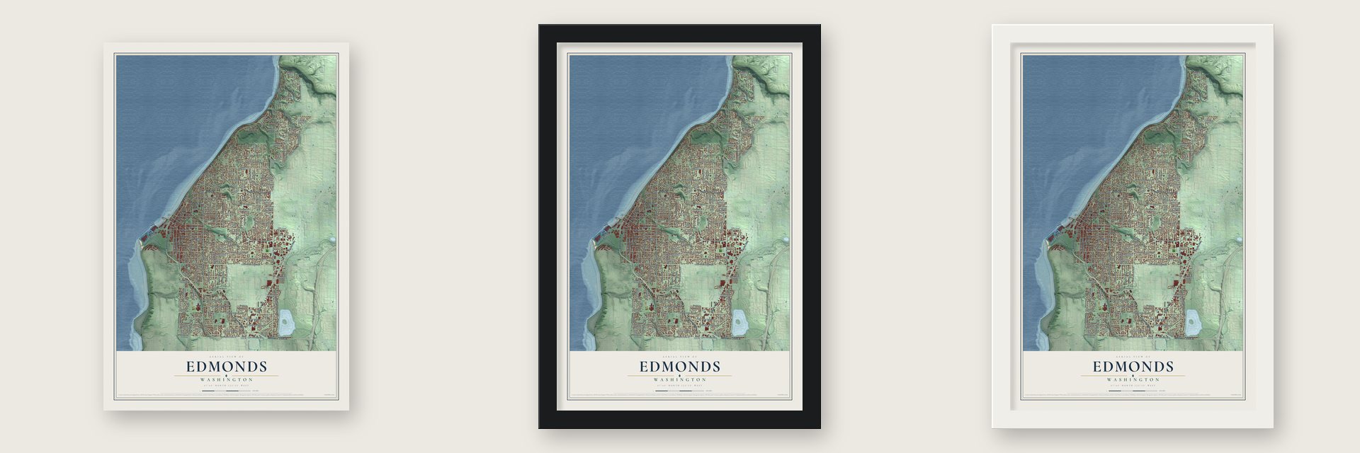
Unframed archival matte, a black wood frame or a white wood frame.
Up close
Geography Worth Displaying
This map was created using accurate cartographic data and authoritative geographic sources, including the U.S. Geological Survey and the Census Bureau. The map brings together terrain, waterways, roads, and building detail. The majority of the streets are labeled, houses are accurately depicted, and the topography is derived from government sources. Combining local data with carefully composed color and shading leads to this beautifully detailed Edmonds artwork for your wall.
Rather than simply showing street outlines, we’ve included as many of the street names as we could reasonably fit on the map while keeping their names legible. Zoom in on the high resolution preview to see exactly what’s on the map. We truly set out to create a statement piece for anyone who loves Edmonds. So whether it’s for you, or a gift for someone you love, we hope this map of Edmonds brings back fond memories.
Read the story behind this map of Edmonds, Washington from 2026.

About Edmonds, Washington
Edmonds is a city of 42,853 people in Snohomish County, on Puget Sound about 15 miles north of Seattle. In 1870 a gale forced George Brackett, a young logger searching for timber, to bring his canoe ashore here. He never forgot the spot, and in 1872 he came back and paid $650 for the 147-acre claim that Pleasant Ewell had first filed.
Brackett moved his family here from Ballard in 1876, drained the marshes and started logging. He opened the first store in 1880 and became postmaster in 1884, when the post office took the name Edmonds, either for Vermont senator George Franklin Edmunds or for nearby Point Edmund. He built the town's first sawmill on the shore in 1889, and the next year he led the push to incorporate and served as the first mayor.
“forced the people of Edmonds to rely almost wholly upon themselves and gave them a spirit of independence and local pride and patriotism”
- Two oxen on the censusA town needed at least 300 residents to incorporate. A popular legend says Brackett padded the count by listing his two oxen. Residents voted on August 7, and Edmonds was incorporated on August 14, 1890. That makes it the oldest incorporated city in Snohomish County.
- A library with a jail belowIn 1910 Edmonds won a $5,000 Carnegie grant for a library, thanks mostly to city librarian Rev. John Lockwood. The library opened the next year, and the town offices, jail included, moved into its basement. The Carnegie Library joined the National Register in 1973.
- Women in charge earlyMissouri T. B. Hanna managed the Edmonds Review newspaper, which made her one of the first women in the country to hold that kind of job. In 1924 Edmonds voters elected Alice U. Kerr as mayor, one of the first women to lead a city in Washington.
- The last mill, June 1, 1951For decades a row of shingle mills along the shore kept the town working, and logging trucks rolled through its streets. As the timber ran out and new roofing materials won out, the mills shut down. The boilers at the Quality Shingle Company's mill went cold for good on June 1, 1951, and its machinery was soon taken apart.
Find your street
Names on the Edmonds map
Every name below is printed on this map. Look for your street, your school, the park where you played, or the pond down the road.
Places and landmarks6
- Edmonds City Hall
- Meadowdale
- Firdale
- Esperance
- Yost Park
- Perrinville
Streets and roads186
- Edmonds Way
- Puget Drive
- Caspers Street
- Third Avenue North
- Northwest 205th Street
- Pacific Highway
- 196th Street Southwest
- Ninth Avenue North
- Ninth Avenue South
- Sunset Avenue North
- Lake Ballinger Way
- 240th Street Southwest
- Main Street
- 100th Avenue West
- Third Avenue South
- 76th Avenue West
- 104th Avenue West
- 72nd Avenue West
- Firdale Avenue
- Robin Hood Drive
- 186th Street Southwest
- Olympic View Drive
- 80th Avenue West
- 84th Avenue West
- 92nd Avenue West
- 88th Avenue West
- 220th Street Southwest
- Pine Street
- 216th Street Southwest
- 238th Street Southwest
Show all 186 streets
- 236th Street Southwest
- 96th Avenue West
- 74th Avenue West
- Talbot Road
- 75th Place West
- 218th Street Southwest
- Eighth Avenue South
- 234th Street Southwest
- Sixth Avenue South
- 98th Avenue West
- 212th Street Southwest
- 200th Street Southwest
- Olympic Avenue
- Fifth Avenue South
- Walnut Street
- 242nd Street Southwest
- Dayton Street
- 95th Place West
- 86th Place West
- Alder Street
- Bowdoin Way
- Seventh Avenue South
- Meadowdale Beach Road
- Maple Street
- 184th Street Southwest
- Fourth Avenue South
- Twelfth Avenue North
- 93rd Place West
- 68th Avenue West
- Daley Street
- 82nd Avenue West
- 94th Avenue West
- 192nd Street Southwest
- Maplewood Drive
- 232nd Street Southwest
- 75th Avenue West
- 73rd Avenue West
- Sprague Street
- Sound View Place
- Frederick Place
- Spruce Street
- Pioneer Way
- Fir Street
- Cedar Street
- Maplewood Lane
- Glen Street
- Admiral Way
- Andover Street
- Sierra Drive
- Hindley Lane
- Beck Lane
- Railroad Avenue
- Madrona Lane
- Maple Lane
- Cherry Street
- Elm Street
- Cary Road
- 244th Street Southeast
- North Meadowdale Road
- 226th Street Southwest
- 228th Street Southwest
- North 205th Street
- 78th Avenue West
- 81st Avenue West
- 188th Street Southwest
- 85th Place West
- 83rd Avenue West
- 77th Place West
- 224th Street Southwest
- 215th Street Southwest
- 240th Place Southwest
- 180th Street Southwest
- 80th Place West
- 102nd Place West
- 86th Avenue West
- 176th Street Southwest
- Second Avenue South
- 206th Street Southwest
- 217th Street Southwest
- 106th Avenue West
- 107th Place West
- 172nd Street Southwest
- Tenth Avenue North
- 210th Street Southwest
- 175th Street Southwest
- Homeview Drive
- 208th Street Southwest
- 235th Place Southwest
- 202nd Place Southwest
- 174th Street Southwest
- Viewland Way
- Eaton Avenue
- 191st Street Southwest
- 202nd Street Southwest
- 199th Street Southwest
- Hemlock Way
- Elm Place
- 68th Avenue Southwest
- Braemar Drive
- 193rd Place Southwest
- Driftwood Lane
- Paradise Lane
- Birch Street
- Vista Place
- 201st Street Southwest
- Shell Valley Road
- Aloha Street
- Sunset Way
- Puget Way
- High Street
- Ocean Avenue
- Ferry Dock
- Euclid Avenue
- Holly Drive
- 72nd
- 74th Place West
- Highland Drive
- 96th Place West
- Bell Street
- 82nd Place West
- 97th Avenue West
- 81st Place West
- 241st Place Southwest
- 194th Street Southwest
- Brookmere Drive
- 97th Place West
- Elm Way
- 179th Street Southwest
- 88th Place West
- 230th Street Southwest
- Carol Way
- Soundview Drive
- 156th Street Southwest
- Bertola Road
- Laurel Street
- Sealawn Drive
- Hillcrest Place
- Forest Dell Drive
- Sierra Street
- Melody Lane
- Cyrus Place
- Lotus Lane
- 78th Place West
- Humber Lane
- 70th Avenue West
- 77th Avenue West
- 189th Place Southwest
- 95th Avenue West
- 106th Place West
- 164th Street Southwest
- Sea Vista Place
- 207th Place Southwest
- Vista del Mar Drive
- Cascade Drive
- Northstream Lane
- Brookmere Street
Names are listed as they appear on the printed map. Zoom into the product photos to find them.
The art of mapping a place
How This Map Was Made
Real places. Remarkable detail. Discover the layers that turn geographic data into a map of home.

The view from above
Aerial imagery reveals the character of the land: woodland, open fields, and the patterns of a place.

The shape of the land
Elevation data brings hills, valleys, and subtle changes in the landscape into view.

The details of home
Roads, waterways, and building footprints come together to make the map feel unmistakably local.

Geography becomes art
Considered color, shading, and typography bring the layers together in a map made for your wall.


Process illustrated with Mendon, Massachusetts. Aerial imagery: USDA NAIP. Terrain: USGS 3D Elevation Program. Map details and finished artwork: KNOWOL.
The Details
About This Print
Choose an archival matte print, or a black or white Ayous wood frame. The archival matte print is unframed.
Select your size and finish above to see the matching product image and price.
Materials & Craftsmanship
A contemporary map with the character of a classic atlas, printed on archival matte paper. Optional frames are made from Ayous wood.
Your printed map does not include the watermark shown in the full-map preview.
Shipping & Delivery
Free shipping within the United States. Every print is made to order in the USA.
Buying a gift? Add a note in your cart and we'll include it. We never put prices in the package.
Prints ship within 2 to 3 business days. Allow 7 to 10 days total from ordering for delivery. Timing may vary during holidays or periods of high order volume.
Read our shipping policy.
Returns and damaged prints
Each print is made to order. Change-of-mind refunds are not available after production.
If your print arrives damaged, misprinted or incorrect, contact support@knowol.com within 30 days of receiving it. Include your order number, photos and a description of the issue.
Read our full refund and replacement policy. For questions about your order, email support@knowol.com.
Find your town
Looking for another city?
Find a map of home in our Washington collection, or any town in the country.
Nearby
Maps of towns near Edmonds
Know someone from one of these towns? Their map makes a great gift.
 Esperance
, Washington
From $39.99See the map
 Woodway
, Washington
From $39.99See the map
 Lynnwood
, Washington
From $39.99See the map
More maps nearby: Mountlake Terrace, Meadowdale, Shoreline, Brier and Alderwood Manor.