
Search for another town





Free U.S. delivery 7 to 10 days after you order
Lynnwood, Washington Map Art
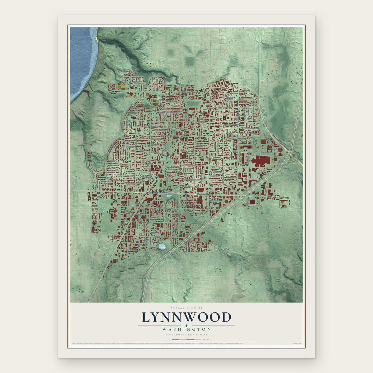
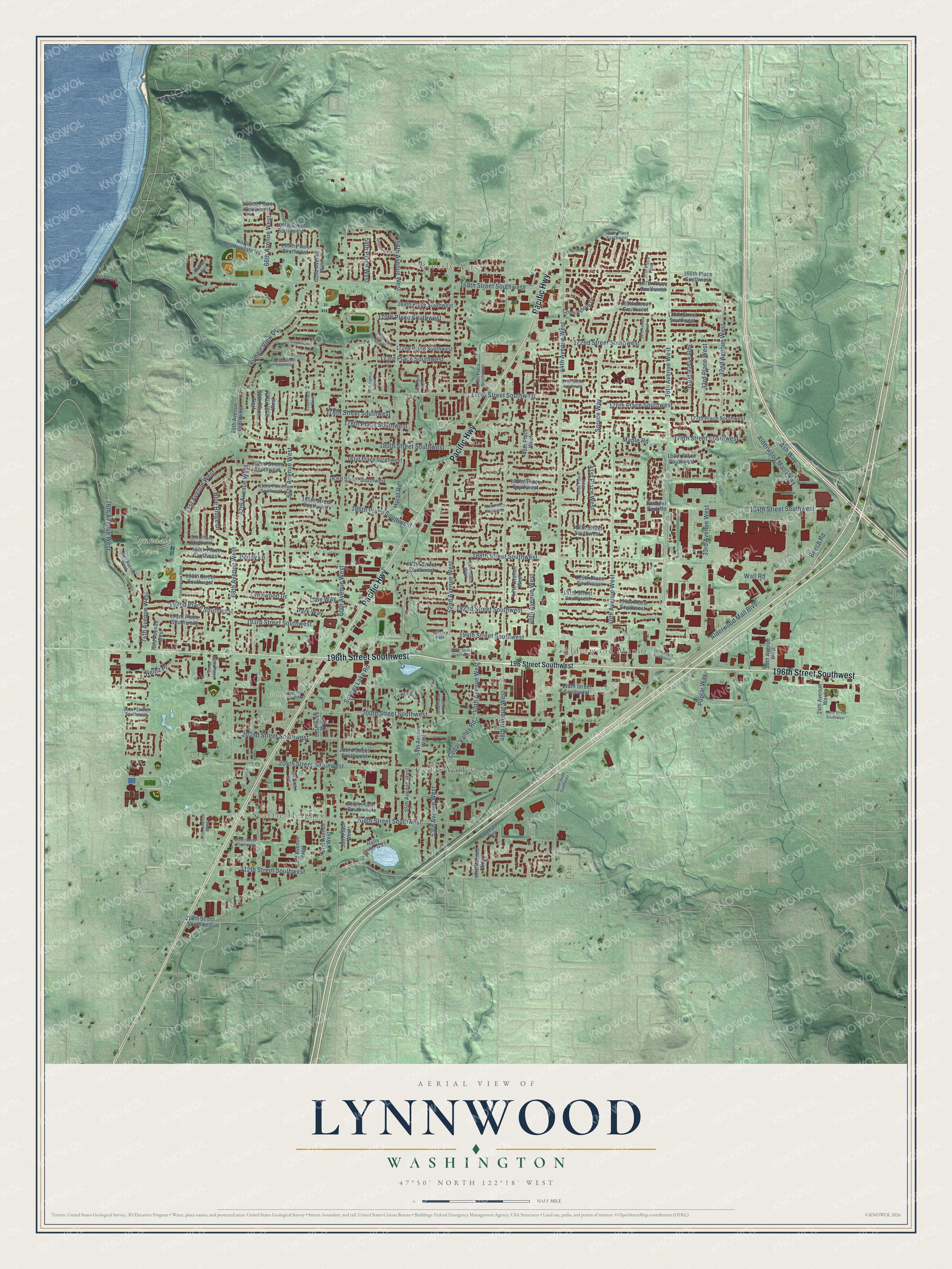
A new map of Lynnwood, Washington, made in 2026 and printed to order on thick archival matte paper.
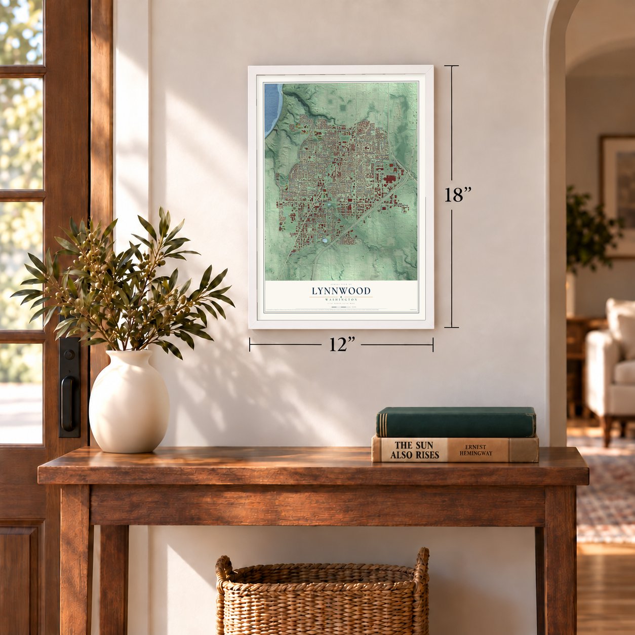
12" x 18" Archival Matte Print
A Map of Home. A Work of Art.
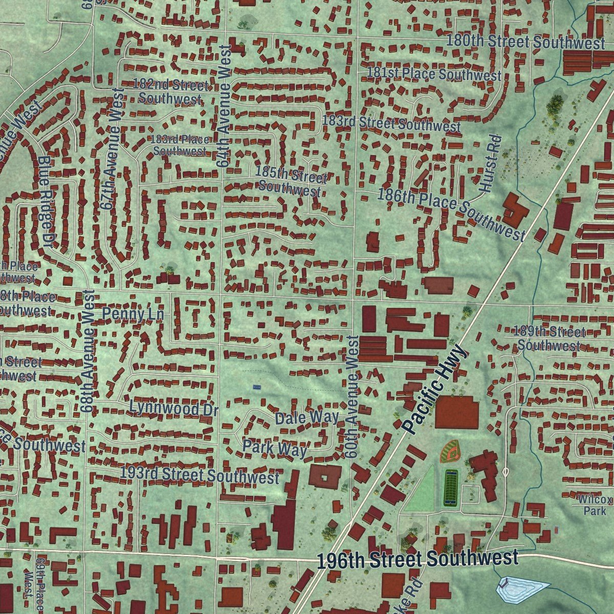
Explore Lynnwood, Washington from a whole new perspective. Created using aerial imagery and detailed geographic data, this map captures Lynnwood building by building, with labeled streets, familiar landmarks, and shaded topographical relief that highlights the natural contours of the landscape.
Combining modern data with the timeless character of a vintage atlas, this map is just as interesting up close as it is beautiful on the wall. Whether you grew up in Lynnwood, spent memorable years there, or call it home today, this unique map is a great way to celebrate a place that means something to you. Zoom in on the preview to look for your street, and then order a print to put your memories on the wall.
Three ways to hang it
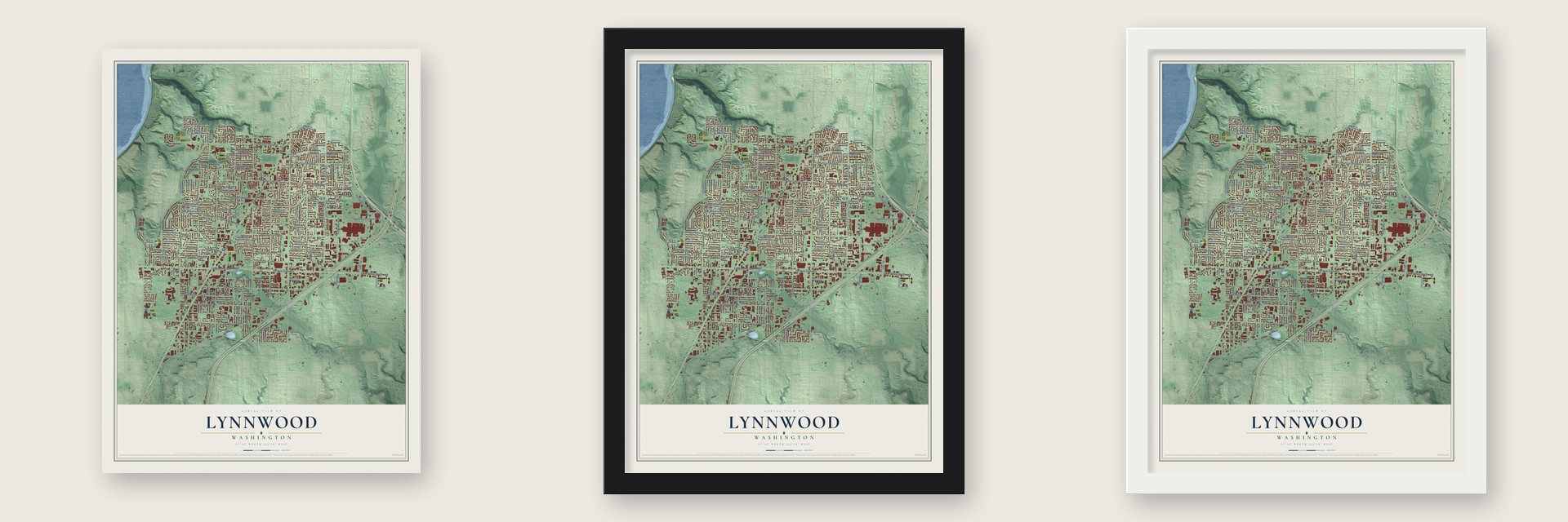
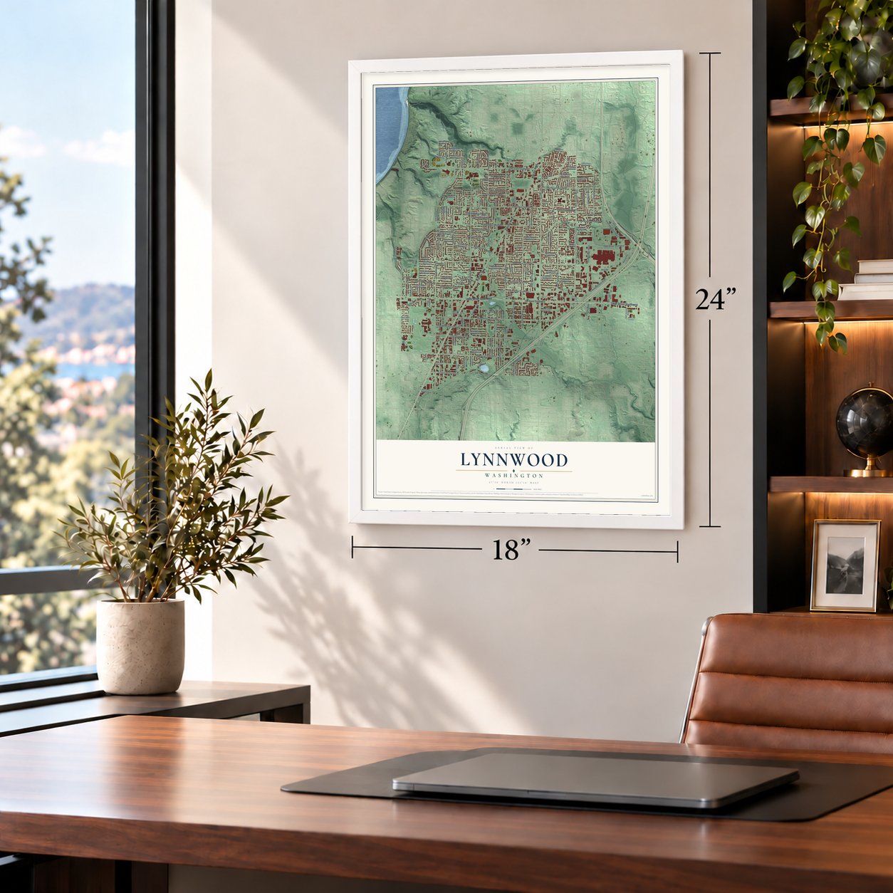
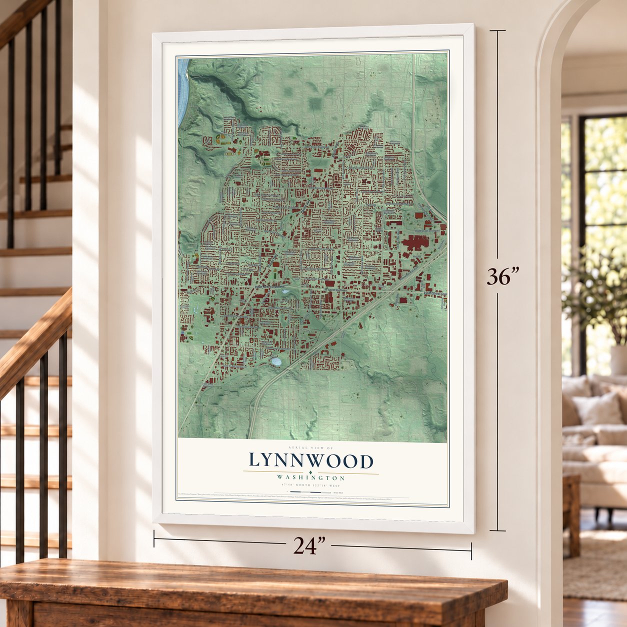
Unframed archival matte, a black wood frame or a white wood frame.
Up close
Geography Worth Displaying
This map was created using accurate cartographic data and authoritative geographic sources, including the U.S. Geological Survey and the Census Bureau. The map brings together terrain, waterways, roads, and building detail. The majority of the streets are labeled, houses are accurately depicted, and the topography is derived from government sources. Combining local data with carefully composed color and shading leads to this beautifully detailed Lynnwood artwork for your wall.
Rather than simply showing street outlines, we’ve included as many of the street names as we could reasonably fit on the map while keeping their names legible. Zoom in on the high resolution preview to see exactly what’s on the map. We truly set out to create a statement piece for anyone who loves Lynnwood. So whether it’s for you, or a gift for someone you love, we hope this map of Lynnwood brings back fond memories.
Read the story behind this map of Lynnwood, Washington from 2026.
About Lynnwood, Washington
Lynnwood is a city of 38,568 people in Snohomish County, where Interstate 5 meets Interstate 405. The Snohomish people came to this upland each summer to hunt, fish and pick berries, and the first permanent settler arrived in 1889. Between 1900 and 1920 loggers turned most of the forest into stump ranches. The interurban rail line of 1910 and the Pacific Highway of 1927 then brought newcomers north from Seattle.
In 1937 Seattle realtor Karl O'Beirn platted a development along Highway 99 at 196th Street Southwest and named it Lynnwood for his wife, Lynn. Local businesses took up the name, the chamber of commerce chose it over West Alderwood in 1946, and a post office opened in 1948. Residents lacked sewers, and Edmonds refused to annex them, so they tried to form their own city. Voters said no in November 1958, 890 to 848. A smaller city of three square miles passed by two to one on April 14, 1959, with realtor Jack Bennett as first mayor, and it became official on April 23, 1959.
“Many Little Landers and their families lived in one end of the chicken shed with their chickens occupying the other end.”
- A Scottish stonemason in 1889Duncan Hunter, a stonemason from Scotland, claimed 80 acres of forest in 1889 and built a cabin on what became 36th Avenue West. In 1895 he built the area's first school. His son Basil lived on the land until his death in 1982, and it later became the city's Pioneer Park. Fellow Scot William Morrice bought 100 acres to the east, ground that is now Alderwood Mall.
- The interurban arrives in 1910The interurban line between Seattle and Everett opened in 1910. Riders could board at Alderwood, Beverly Park, Halls Lake, Intermanor, Manordale, Martha Lake and Seattle Heights. Cars ran every hour and took 70 minutes from Everett to Greenwood, carrying people by day and freight by night. Farmers sent produce to Pike Place Market, and students found the ride to Ballard High School quicker than walking to school in Edmonds.
- Little Landers and 200,000 hensIn 1917 the Puget Mill Company cut its logged land into Ranchettes of five to 10 acres and sold them to city people for $200 an acre. Realtor W. A. Irwin called the place Alderwood Manor and set up a 30-acre demonstration farm to teach buyers to raise crops and chickens. By 1922 it had grown from 22 people to 1,463, with 200,000 hens. Then the Depression dropped eggs from $1 a dozen to a dime.
- Alderwood Mall in 1979Interstate 5 opened in 1965 and pulled business east toward Alderwood Manor. Allied Stores proposed a 130-acre shopping center there in 1968, but a local recession stalled the plan until Edward J. DeBartolo Sr. took it over in 1976. When the mall finally opened its doors on October 4, 1979, it set off a boom in stores and homes in the early 1980s.
Find your street
Names on the Lynnwood map
Every name below is printed on this map. Look for your street, your school, the park where you played, or the pond down the road.
Places and landmarks7
- Seattle Heights
- Beverly Acres
- Alderwood Manor
- Lynndale Park
- Gold Park
- Cedar Valley
- Wilcox Park
Streets and roads147
- Pacific Highway
- 196th Street Southwest
- 36th Avenue West
- 56th Avenue West
- 184th Street Southwest
- Maple Road
- 179th Street Southwest
- Cedar Valley Road
- 44th Avenue West
- 188th Street Southwest
- 60th Avenue West
- 52nd Avenue West
- 68th Avenue West
- 64th Avenue West
- 48th Avenue West
- 200th Street Southwest
- 176th Street Southwest
- 208th Street Southwest
- 168th Street Southwest
- 204th Street Southwest
- Olympic View Drive
- Alderwood Mall Parkway
- 212th Street Southwest
- 180th Street Southwest
- Alderwood Mall Boulevard
- 76th Avenue West
- 40th Avenue West
- 172nd Street Southwest
- 66th Avenue West
- 194th Street Southwest
Show all 147 streets
- Spruce Way
- 192nd Street Southwest
- 173rd Place Southwest
- 192nd Place Southwest
- 67th Avenue West
- 202nd Street Southwest
- 41st Place West
- 186th Place Southwest
- 33rd Avenue West
- 178th Place Southwest
- 32nd Avenue West
- 33rd Place West
- 71st Avenue West
- 58th Place West
- 46th Avenue West
- Beech Road
- 176th Place Southwest
- 53rd Avenue West
- 170th Place Southwest
- 193rd Street Southwest
- Blue Ridge Drive
- Park Way
- Wall Road
- 74th Avenue West
- 178th Street Southwest
- 50th Avenue West
- 34th Place West
- Scriber Lake Road
- Poplar Way
- Dale Way
- Lynnwood Drive
- Heinz Place
- Ash Way
- Hurst Road
- Penny Lane
- 196 Street Southwest
- 177th Place Southwest
- 172nd Place Southwest
- 170th Street Southwest
- 189th Place Southwest
- 190th Street Southwest
- 191st Street Southwest
- 181st Place Southwest
- 54th Avenue West
- 28th Avenue West
- 164th Street Southwest
- 182nd Place Southwest
- 166th Place Southwest
- 198th Street Southwest
- 185th Street Southwest
- 186th Street Southwest
- 182nd Street Southwest
- 183rd Street Southwest
- 167th Place Southwest
- 63rd Avenue West
- 169th Street Southwest
- 47th Avenue West
- 180th Place Southwest
- 55th Avenue West
- 62nd Avenue West
- 61st Place West
- 46th Place West
- 191st Place Southwest
- 66th Place West
- 188th Place Southwest
- 193rd Place Southwest
- 189th Street Southwest
- 165th Place Southwest
- 73rd Avenue West
- 169th Place Southwest
- 65th Place West
- North Meadowdale Road
- Cobblestone Drive
- 203rd Street Southwest
- Firwood Drive
- 49th Avenue West
- 68th Avenue Southwest
- 59th Place West
- 24th Avenue West
- Halls Lake Way
- 61st Avenue West
- 207th Place Southwest
- 162nd Place Southwest
- Bertola Road
- 216th Street Southwest
- Pioneer Park Road
- 183rd Place Southwest
- 174th Place Southwest
- 70th Avenue West
- 69th Place West
- 42nd Place West
- 164th Place Southwest
- 187th Place Southwest
- 37th Place West
- 75th Avenue West
- 51st Place West
- 201st Street Southwest
- Hillpointe Circle
- 57th Place West
- 175th Street Southwest
- 210th Street Southwest
- 58th Avenue West
- 62nd Place West
- 54th Place West
- 184th Place Southwest
- 72nd Avenue West
- 63rd Place West
- 49th Place West
- 38th Avenue West
- 195th Street Southwest
- 199th Street Southwest
- 199th Place Southwest
- 70th Place West
- Hazel Road Southwest
- 195th Place Southwest
- 174th Street Southwest
- 52nd Place West
Names are listed as they appear on the printed map. Zoom into the product photos to find them.
The art of mapping a place
How This Map Was Made
Real places. Remarkable detail. Discover the layers that turn geographic data into a map of home.

The view from above
Aerial imagery reveals the character of the land: woodland, open fields, and the patterns of a place.

The shape of the land
Elevation data brings hills, valleys, and subtle changes in the landscape into view.

The details of home
Roads, waterways, and building footprints come together to make the map feel unmistakably local.

Geography becomes art
Considered color, shading, and typography bring the layers together in a map made for your wall.


Process illustrated with Mendon, Massachusetts. Aerial imagery: USDA NAIP. Terrain: USGS 3D Elevation Program. Map details and finished artwork: KNOWOL.
The Details
About This Print
Choose an archival matte print, or a black or white Ayous wood frame. The archival matte print is unframed.
Select your size and finish above to see the matching product image and price.
Materials & Craftsmanship
A contemporary map with the character of a classic atlas, printed on archival matte paper. Optional frames are made from Ayous wood.
Your printed map does not include the watermark shown in the full-map preview.
Shipping & Delivery
Free shipping within the United States. Every print is made to order in the USA.
Buying a gift? Add a note in your cart and we'll include it. We never put prices in the package.
Prints ship within 2 to 3 business days. Allow 7 to 10 days total from ordering for delivery. Timing may vary during holidays or periods of high order volume.
Read our shipping policy.
Returns and damaged prints
Each print is made to order. Change-of-mind refunds are not available after production.
If your print arrives damaged, misprinted or incorrect, contact support@knowol.com within 30 days of receiving it. Include your order number, photos and a description of the issue.
Read our full refund and replacement policy. For questions about your order, email support@knowol.com.
Find your town
Looking for another city?
Find a map of home in our Washington collection, or any town in the country.
Nearby
Maps of towns near Lynnwood
Know someone from one of these towns? Their map makes a great gift.
 Alderwood Manor
, Washington
From $39.99See the map
 North Lynnwood
, Washington
From $39.99See the map
 Mountlake Terrace
, Washington
From $39.99See the map
More maps nearby: Larch Way, Meadowdale, Edmonds, Brier and Bothell West.