
Search for another town

Free U.S. delivery 7 to 10 days after you order
Franklin Lakes, New Jersey Map Art
Building by building, with labeled streets and shaded relief.
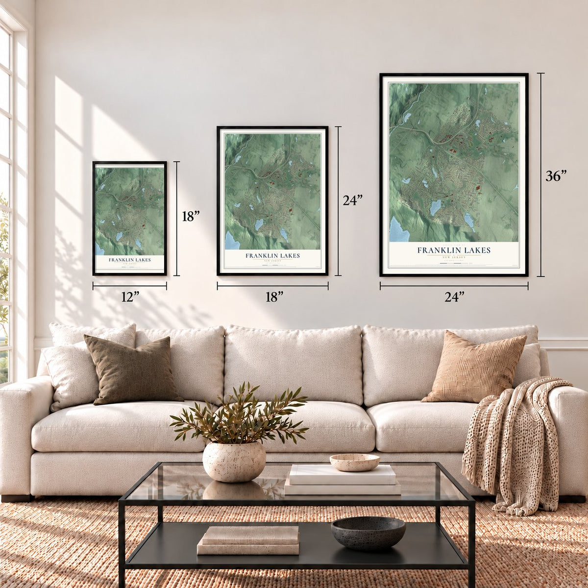
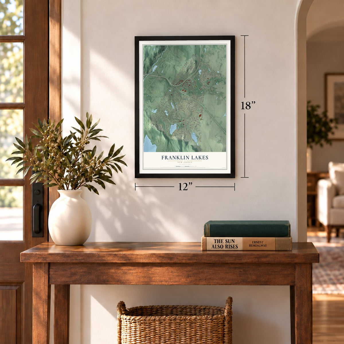
12" x 18" Archival Matte Print
A Map of Home. A Work of Art.
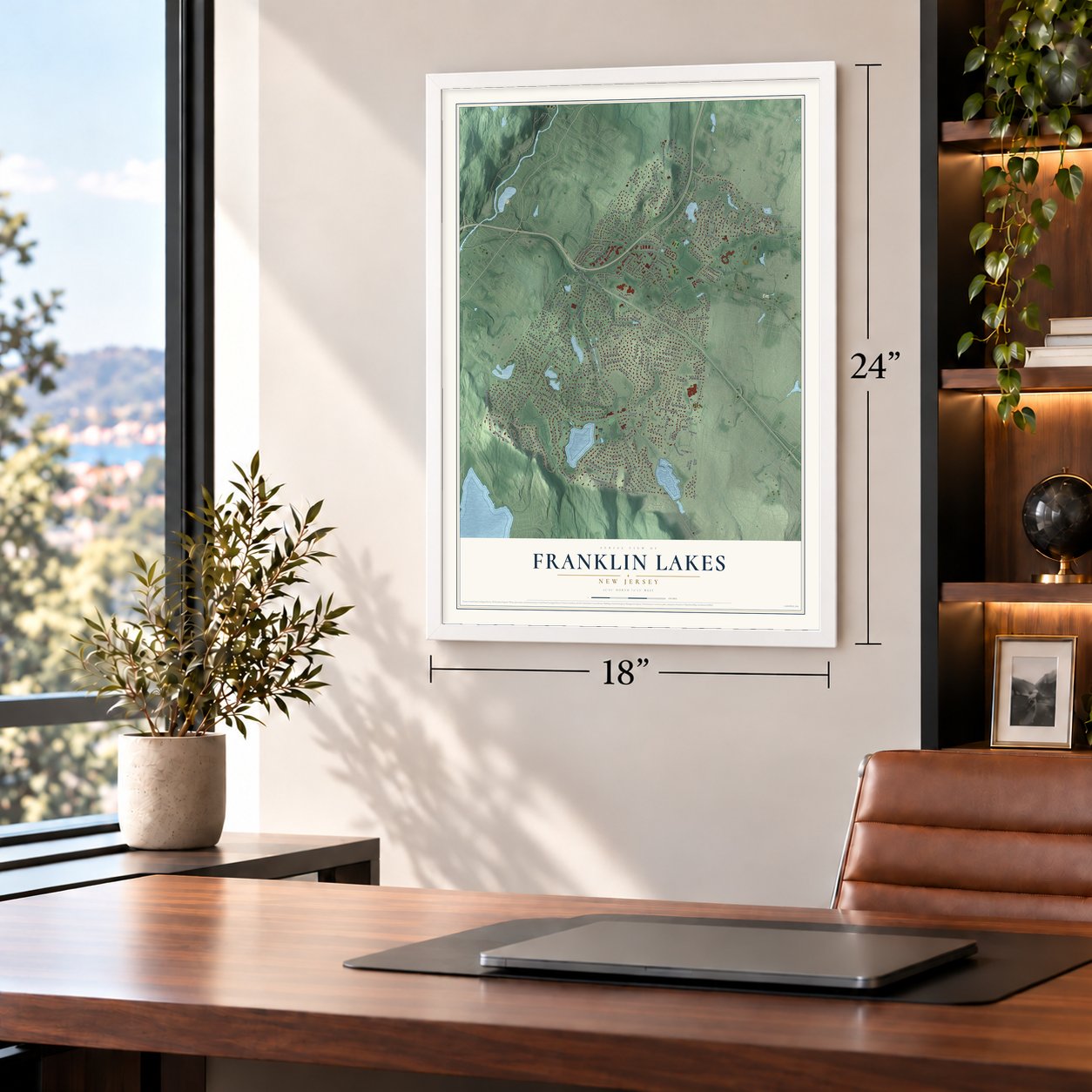
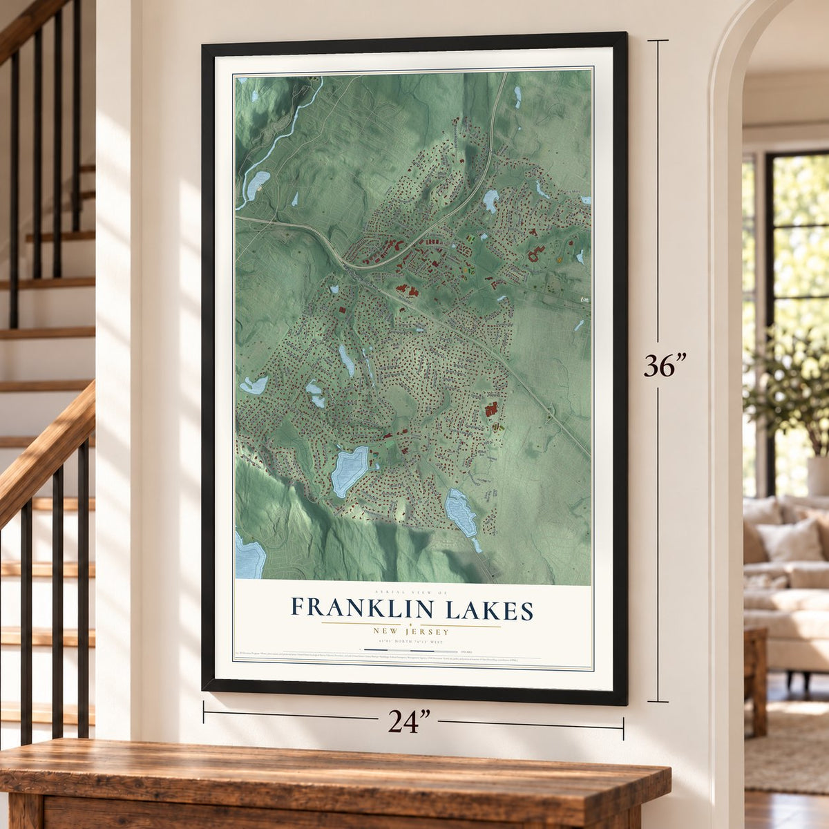
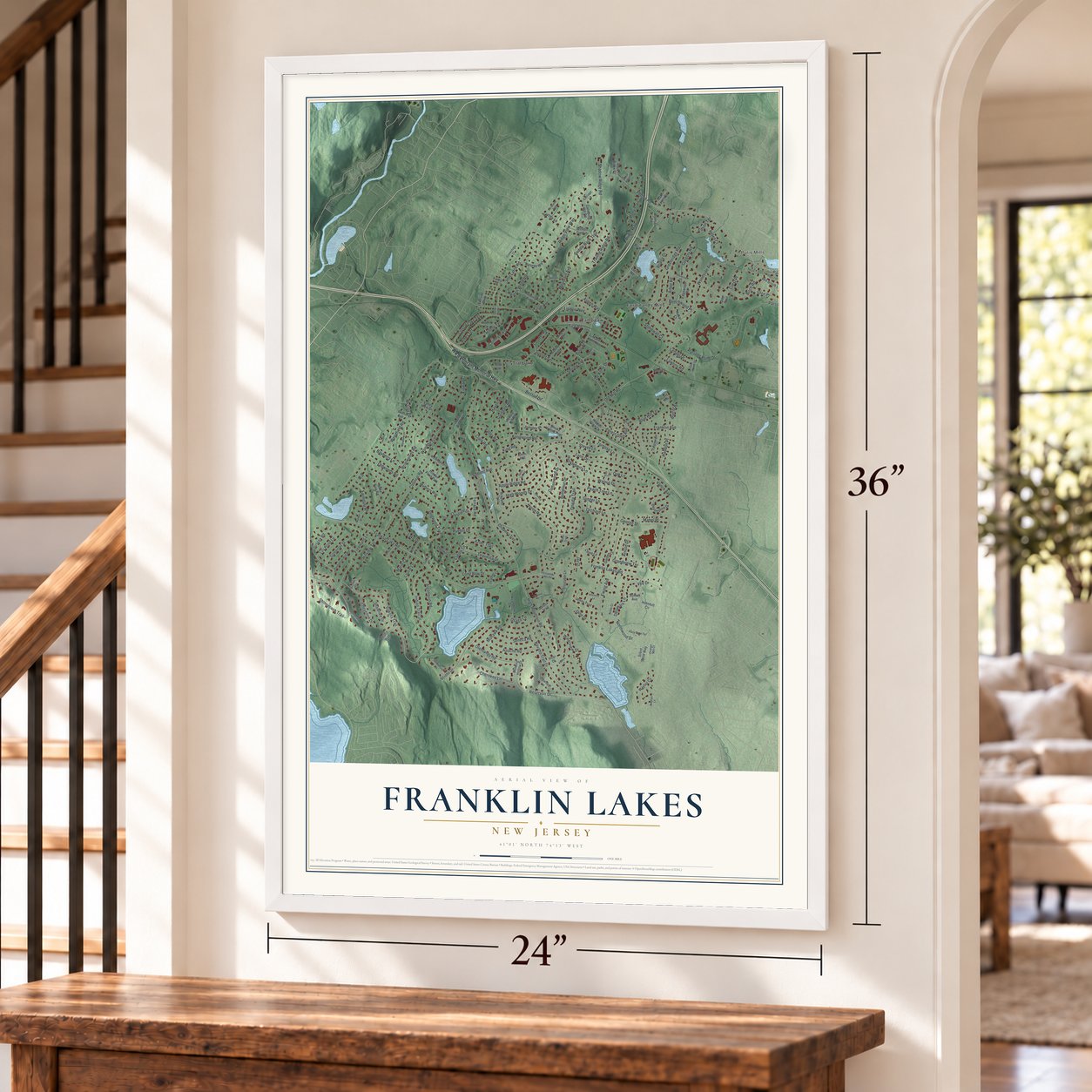
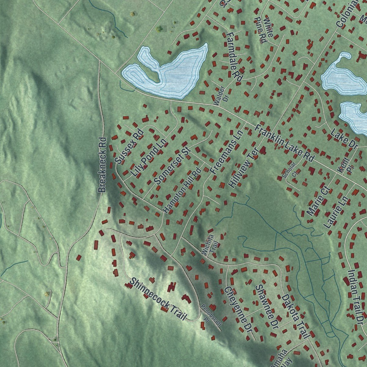
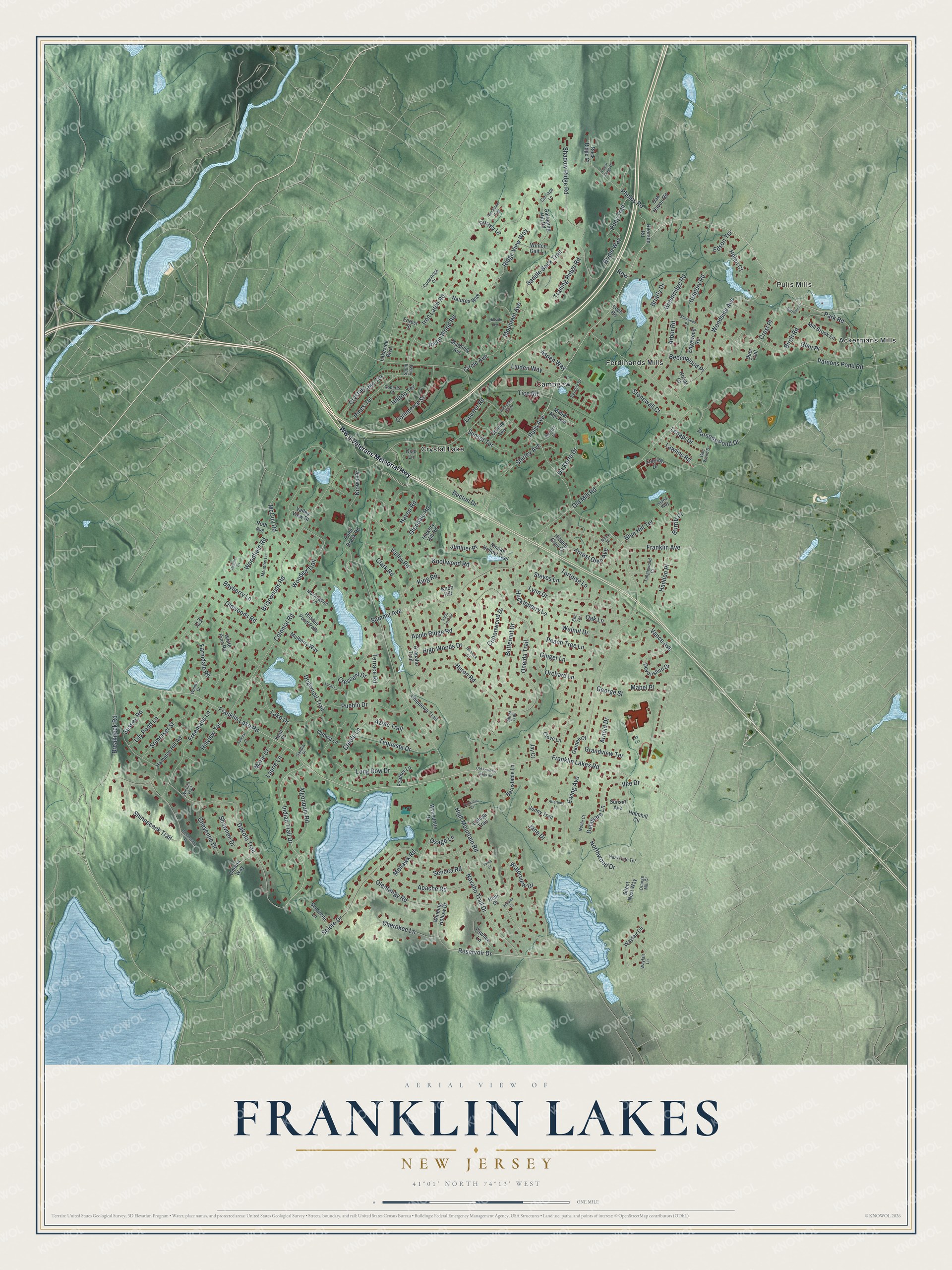
Explore Franklin Lakes, New Jersey from a whole new perspective. Created using aerial imagery and detailed geographic data, this map captures Franklin Lakes building by building, with labeled streets, familiar landmarks, and shaded topographical relief that highlights the natural contours of the landscape.
Combining modern data with the timeless character of a vintage atlas, this map is just as interesting up close as it is beautiful on the wall. Whether you grew up in Franklin Lakes, spent memorable years there, or call it home today, this unique map is a great way to celebrate a place that means something to you. Zoom in on the preview to look for your street, and then order a print to put your memories on the wall.
Three ways to hang it
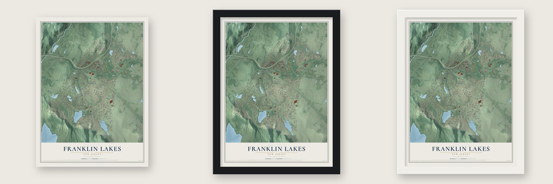
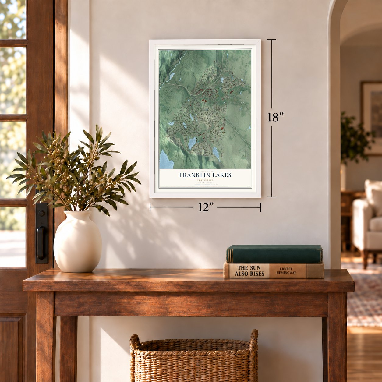
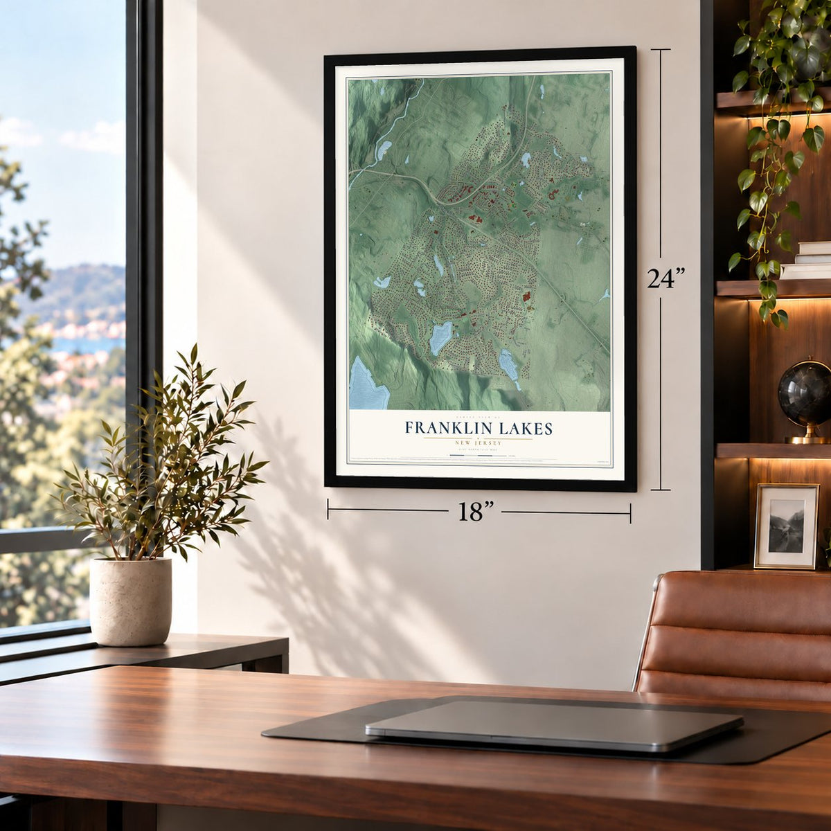
Unframed archival matte, a black wood frame or a white wood frame.
Up close
Geography Worth Displaying
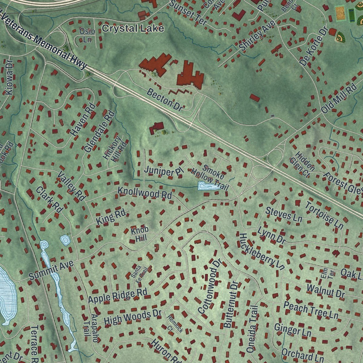
This map was created using accurate cartographic data and authoritative geographic sources, including the U.S. Geological Survey (USGS) and FEMA. The map brings together terrain, waterways, roads, and building detail. The majority of the streets are labeled, houses are accurately depicted, and the topography is derived from government sources. Combining local data with carefully composed color and shading leads to this beautifully detailed Franklin Lakes artwork for your wall.
Rather than simply showing street outlines, we’ve included as many of the street names as we could reasonably fit on the map while keeping their names legible. Zoom in on the high resolution preview to see exactly what’s on the map. We truly set out to create a statement piece for anyone who loves Franklin Lakes. So whether it’s for you, or a gift for someone you love, we hope this map of Franklin Lakes brings back fond memories.
Explore the full map of Franklin Lakes, New Jersey and read about the local places it shows.
Find your street
Names on the Franklin Lakes map
Every name below is printed on this map. Look for your street, your school, the park where you played, or the pond down the road.
Places and landmarks5
- Pulis Mills
- Ackermans Mills
- Campgaw
- Crystal Lake
- Ferdinands Mills
Streets and roads218
- Pulis Avenue
- Franklin Lakes Road
- Dakota Trail
- Franklin Lake Road
- Indian Trail Drive
- Reservoir Drive
- McCoy Road
- High Mountain Road
- Colonial Road
- Ewing Avenue
- Franklin Avenue
- Summit Avenue
- Old Mill Road
- Parsons Pond Drive
- Becton Drive
- Huron Road
- Scioto Drive
- Shadow Ridge Road
- Iron Latch Road
- Woodside Avenue
- Northwood Drive
- Peach Tree Lane
- Shinnecock Trail
- Orchard Lane
- Birch Road
- Dogwood Trail
- Oldwoods Road
- Lynn Drive
- Parsons Pond Road
- Navaho Trail Drive
Show all 218 streets
- Haven Road
- High Woods Drive
- Oneida Trail
- Freemans Lane
- Greenridge Road
- Butternut Drive
- Forest Glen Avenue
- Briarwoods Road
- Vance Avenue
- Crescent Drive
- Phelps Road
- Farmdale Road
- Sussex Road
- Breakneck Road
- Pueblo Drive
- Terrace Road
- Crystal Lake Terrace
- Tequesta Drive
- Wooded Trail
- Algonquin Road
- Apache Road
- Cherokee Lane
- Olentangy Road
- Arbor Road
- De Korte Drive
- Knollwood Road
- Pines Terrace
- Woodfield Road
- Apple Ridge Road
- Glen Place
- Walnut Drive
- Lily Pond Lane
- Commerce Street
- Valley Road
- Circle Avenue
- Delaware Lane
- Oak Lane
- Somerset Street
- Huckleberry Lane
- Saddle Back Trail
- Hilltop Terrace
- Ridge View Way
- Bridle Way
- Aztec Trail
- Seneca Road
- Clark Road
- Lake Drive
- Glendale Road
- Gregory Road
- Stonewall Court
- Trailing Ridge Road
- Long Bow Drive
- Ginger Lane
- Briarly Drive
- Riven Wood Road
- Haddon Place
- Cheyenne Drive
- Steves Lane
- Creole Lane
- Waterview Drive
- Linden Way
- Park Road
- Shirley Avenue
- Mabel Place
- Mohawk Road
- Blue Hill Terrace
- Shawnee Drive
- Sunset Terrace
- Bayberry Lane
- Cottonwood Drive
- Lawlins Road
- Pony Trail
- Tortoise Lane
- Hillview Terrace
- King Road
- Jane Drive
- Grandview Terrace
- Helen Court
- Mountain Avenue
- Kiowa Drive
- Lenapi Drive
- Aspen Way
- Beechwood Place
- Courter Road
- Arnold Drive
- Laurie Lane
- Marie Court
- Juniper Place
- Tice Road
- Edson Terrace
- Vee Drive
- Surrey Lane
- Crest Place
- George Street
- Osage Lane
- Burritt Place
- Row
- Ww II Veterans Memorial Highway
- Galloping Hill Road
- Hampton Hill Road
- Wayfair Circle
- Arapaho Trail
- Natures Way
- Holmhill Circle
- Winton Gait Lane
- Devonshire Drive
- Winding Hollow Drive
- Jenny Trail
- Wyandotte Drive
- Sterling Drive
- Smoke Hollow Trail
- Hidden Pond Path
- Mulberry Way
- Mardinly Avenue
- Pawnee Lane
- Chippewa Trail
- Pond Brook Road
- White Pine Road
- Barnstable Lane
- Silent Nest Way
- Ottowa Lane
- Mill Brook Lane
- Edgewood Road
- Valley View Drive
- Mabel Ann Avenue
- Omaha Way
- Ryerson Road
- Connie Avenue
- Seminole Lane
- Hidden Glen Court
- Clove Lane
- Rock Ridge Court
- Calusa Trail
- Lakeside Boulevard
- Hickory Hill Road
- Feather Lane
- Oak Haven Road
- Garden Court
- Roth Avenue
- Kent Place
- Osio Lane
- Forest Street
- Hopi Drive
- Knob Hill
- Deer Trail
- Jay Court
- Sunset Avenue
- Hobar Court
- Loch Road
- Ivy Court
- Bentley Drive
- Tanglewood Court
- Island Way
- Meadow Lane
- Wayfair Lane
- Orange Mill Court
- Hazy Gate Terrace
- Roberts Court
- Noble Court
- Mockingbird Lane
- Walder Drive
- South Plaza
- Bender Court
- Conestoga Court
- Gae Wood Drive
- Carriage Lane
- Sandia Place
- Wichita Trail
- Elm Terrace
- Minsi Trail
- Scholar Court
- Atterbury Lane
- Old Franklin Lakes Road
- Hillside Avenue
- Horseshoe Trail
- Lenel Lane
- Sherwood Place
- Heather Lane
- Kuhkulia Court
- Penobscott Place
- Santa Fe Trail
- Barrister Court
- Hemlock Court
- Forest Ridge Court
- Campgaw Plaza
- Kuliana Court
- Alpine Drive
- Yuma Court
Names are listed as they appear on the printed map. Zoom into the product photos to find them.
About Franklin Lakes, New Jersey
Franklin Lakes is a borough of 11,079 people in Bergen County. State lawmakers voted on March 11, 1922, to form it from part of Franklin Township, and a referendum held on April 11, 1922, decided the matter. The new borough was named for William Franklin, Benjamin Franklin's son, who stayed loyal to the Crown during the Revolution and served as the last governor of colonial New Jersey.
- Rocket tests from 1942In 1942 the company Reaction Motors set up a site for testing rockets at 936 Dogwood Trail, and a prototype rocket for jet-assisted takeoff was tried out there. The site joined the National Register in 1979, honored for what it meant to science, invention, industry and engineering. According to the state's Historic Preservation Office, the building was demolished sometime between 2002 and 2007.
- Volunteer firefighters since 1924Two years after the borough was formed, residents founded the Franklin Lakes Fire Department, and it is still staffed entirely by volunteers. It works out of two firehouses: Headquarters, off Franklin Avenue, and the Southside Firehouse on Franklin Lakes Road.
- Ramapo High School, 1957Teenagers from Franklin Lakes and Wyckoff once went to Ramsey High School, until Ramsey said it would have no room for them once the 1956 to 1957 school year ended. In 1954 voters in Franklin Lakes, Oakland and Wyckoff approved a regional high school by 1,060 to 51. Ramapo High School opened in Franklin Lakes in 1957, followed by Indian Hills High School in Oakland in 1960.
- Home of Becton DickinsonBecton Dickinson, the medical technology company founded in 1897 and a Fortune 500 firm, has its corporate headquarters in Franklin Lakes.
Keep exploring New Jersey
Franklin Lakes is one of 990 New Jersey towns we've mapped. Every dot on the map is a print of its own.
The search covers every state, New Jersey first.
Near Franklin Lakes
Order 2 or more town maps and save 10%. Shown in the size and finish you picked above, so they hang as a set.
- Wyckoff 12" x 18" / Archival Matte Print $39.99
- Oakland 12" x 18" / Archival Matte Print $39.99
- Pines Lake 12" x 18" / Archival Matte Print $39.99
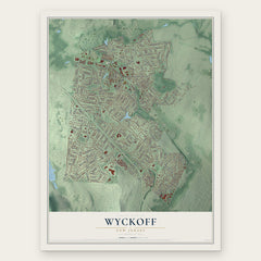


More maps nearby: North Haledon, Midland Park, Pompton, Allendale and Waldwick.
The art of mapping a place
How This Map Was Made
Real places. Remarkable detail. Discover the layers that turn geographic data into a map of home.

The view from above
Aerial imagery reveals the character of the land: woodland, open fields, and the patterns of a place.

The shape of the land
Elevation data brings hills, valleys, and subtle changes in the landscape into view.

The details of home
Roads, waterways, and building footprints come together to make the map feel unmistakably local.

Geography becomes art
Considered color, shading, and typography bring the layers together in a map made for your wall.


Process illustrated with Mendon, Massachusetts. Aerial imagery: USDA NAIP. Terrain: USGS 3D Elevation Program. Map details and finished artwork: KNOWOL.
The Details
About This Print
Choose an archival matte print, or a black or white Ayous wood frame. The archival matte print is unframed.
Select your size and finish above to see the matching product image and price.
Materials & Craftsmanship
A contemporary map with the character of a classic atlas, printed on archival matte paper. Optional frames are made from Ayous wood.
Your printed map does not include the watermark shown in the full-map preview.
Shipping & Delivery
Free shipping within the United States. Every print is made to order in the USA.
Buying a gift? Add a note in your cart and we'll include it. We never put prices in the package.
Prints ship within 2 to 3 business days. Allow 7 to 10 days total from ordering for delivery. Timing may vary during holidays or periods of high order volume.
Read our shipping policy.
Returns and damaged prints
Each print is made to order. Change-of-mind refunds are not available after production.
If your print arrives damaged, misprinted or incorrect, contact support@knowol.com within 30 days of receiving it. Include your order number, photos and a description of the issue.
Read our full refund and replacement policy. For questions about your order, email support@knowol.com.