


Search for another town





Free U.S. delivery 7 to 10 days after you order
Glendale, California Map Art
Building by building, with labeled streets and shaded relief.
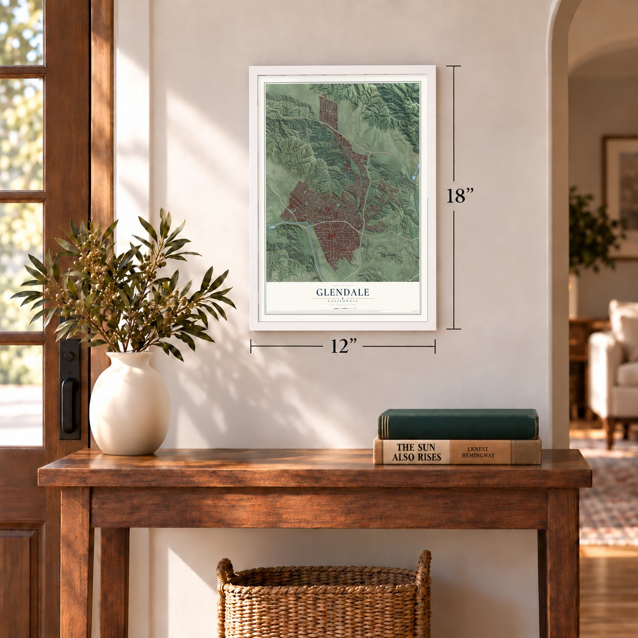
12" x 18" Archival Matte Print
A Map of Home. A Work of Art.
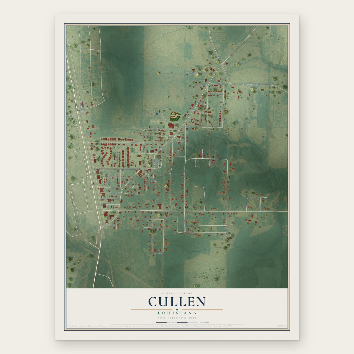
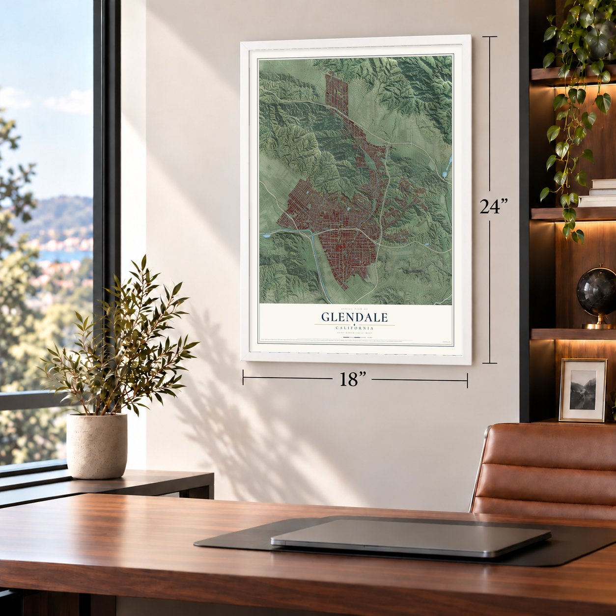
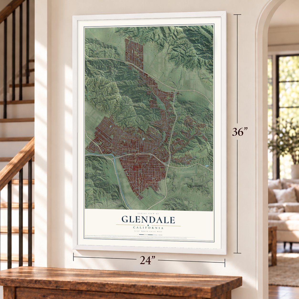
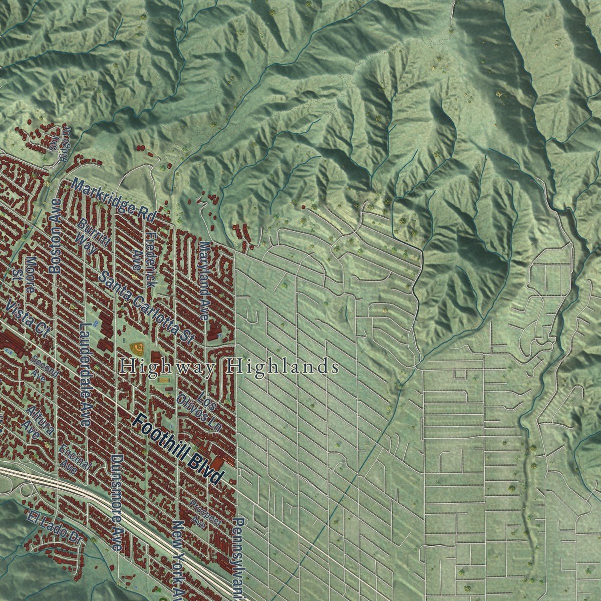
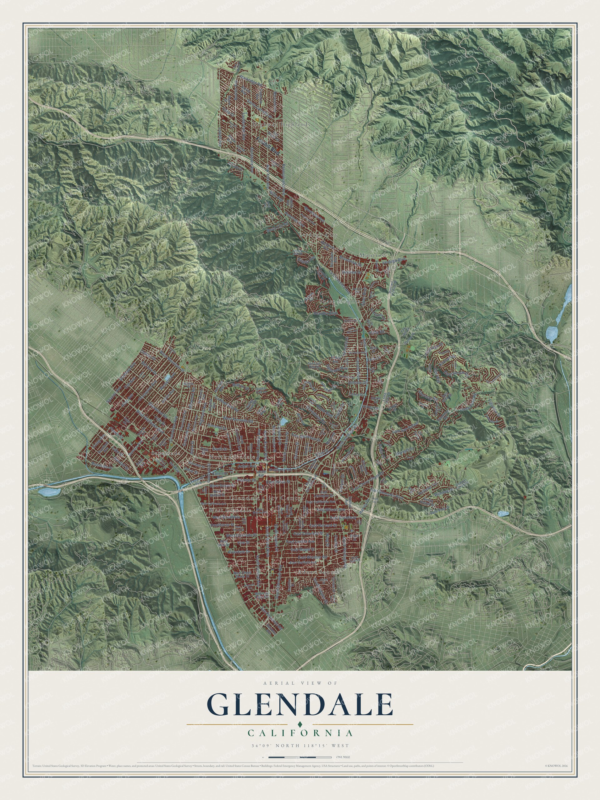
Explore Glendale, California from a whole new perspective. Created using aerial imagery and detailed geographic data, this map captures Glendale building by building, with labeled streets, familiar landmarks, and shaded topographical relief that highlights the natural contours of the landscape.
Combining modern data with the timeless character of a vintage atlas, this map is just as interesting up close as it is beautiful on the wall. Whether you grew up in Glendale, spent memorable years there, or call it home today, this unique map is a great way to celebrate a place that means something to you. Zoom in on the preview to look for your street, and then order a print to put your memories on the wall.
Three ways to hang it
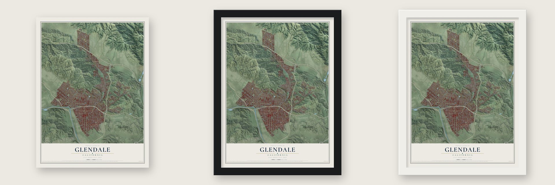
Unframed archival matte, a black wood frame or a white wood frame.
Up close
Geography Worth Displaying
This map was created using accurate cartographic data and authoritative geographic sources, including the U.S. Geological Survey and the Census Bureau. The map brings together terrain, waterways, roads, and building detail. The majority of the streets are labeled, houses are accurately depicted, and the topography is derived from government sources. Combining local data with carefully composed color and shading leads to this beautifully detailed Glendale artwork for your wall.
Rather than simply showing street outlines, we’ve included as many of the street names as we could reasonably fit on the map while keeping their names legible. Zoom in on the high resolution preview to see exactly what’s on the map. We truly set out to create a statement piece for anyone who loves Glendale. So whether it’s for you, or a gift for someone you love, we hope this map of Glendale brings back fond memories.
Read the story behind this map of Glendale, California from 2026.

Find your street
Names on the Glendale map
Every name below is printed on this map. Look for your street, your school, the park where you played, or the pond down the road.
Places and landmarks11
- Glendale City Center
- Brand Park
- Verdugo Mountains
- Adams Square
- Highway Highlands
- Montrose
- North Glendale
- Sepulveda
- Sparr Heights
- Verdugo City
- West Glendale
Streets and roads252
- Foothill Boulevard
- San Fernando Road
- South Brand Boulevard
- North Brand Boulevard
- Sonora Avenue
- East Broadway
- West Mountain Street
- West Kenneth Road
- East Wilson Avenue
- West Broadway
- Bel Aire Drive
- West Glenoaks Boulevard
- East Glenoaks Boulevard
- East Chevy Chase Drive
- North Verdugo Road
- Honolulu Avenue
- Allen Avenue
- Thompson Avenue
- Western Avenue
- Cam San Rafael
- Glenwood Road
- East Mountain Street
- Pennsylvania Avenue
- Dunsmore Avenue
- Irving Avenue
- Montrose Avenue
- New York Avenue
- Canada Boulevard
- La Crescenta Avenue
- South Glendale Avenue
Show all 252 streets
- Boston Avenue
- Grandview Avenue
- North Central Avenue
- South Central Avenue
- North Jackson Street
- East Colorado Street
- North Louise Street
- East Maple Street
- Cumberland Road
- South Adams Street
- Flower Street
- Highland Avenue
- East Windsor Road
- Lowell Avenue
- Justin Avenue
- Idlewood Road
- Lauderdale Avenue
- Concord Street
- East Harvard Street
- Figueroa Street
- West Doran Street
- Arden Avenue
- Elm Avenue
- Santa Carlotta Street
- Monterey Road
- Geneva Street
- Linda Vista Road
- Hillside Drive
- Emerald Isle Drive
- Hollister Terrace
- Alameda Avenue
- Spazier Avenue
- Broadview Drive
- East Lomita Avenue
- Opechee Way
- East Doran Street
- Air Way
- Greenbriar Road
- Olmsted Drive
- West Colorado Street
- Graynold Avenue
- South Verdugo Road
- Royal Boulevard
- Markridge Road
- Lake Street
- Campbell Street
- Sunshine Drive
- Sparr Boulevard
- Harvey Drive
- Pioneer Drive
- Maginn Drive
- South Louise Street
- Fern Lane
- Vine Street
- Flintridge Drive
- Alma Street
- Mesa Lila Road
- Verdugo Boulevard
- Ethel Street
- Riverside Drive
- Hawthorne Street
- Riverdale Drive
- South Street
- Erin Way
- Fischer Street
- Fifth Street
- Kirkham Drive
- Ridge Drive
- Alpha Road
- Sunview Drive
- Vista Court
- Randall Street
- Eilinita Avenue
- Mills Avenue
- Barnett Drive
- Beaudry Boulevard
- Wing Street
- Omar Street
- Wyndale Place
- Sheridan Road
- Chilton Drive
- Canyon Drive
- Puebla Drive
- Portola Avenue
- Goode Avenue
- Paula Avenue
- Raymond Avenue
- North Columbus Avenue
- Country Club Drive
- North Glendale Avenue
- Altura Avenue
- East Garfield Avenue
- Cleveland Road
- East California Avenue
- North Isabel Street
- Burchett Street
- West Milford Street
- East Lexington Drive
- Maryland Avenue
- El Lado Drive
- Valley View Road
- Norton Avenue
- Sycamore Avenue
- Virginia Avenue
- Cordova Avenue
- Burritt Way
- Hermosita Drive
- El Arbolita Drive
- Palm Drive
- Los Olivos Lane
- Hillcrest Avenue
- Patterson Avenue
- Gardena Avenue
- Melwood Drive
- Frederick Avenue
- Colina Drive
- Old Phillips Road
- Sinclair Avenue
- Avonoak Terrace
- Ivy Street
- West Chevy Chase Drive
- El Rito Avenue
- Cielito Drive
- Golf Club Drive
- Sherer Lane
- West Vine Street
- Sleepy Hollow Drive
- Valle Vista Drive
- Moncado Drive
- Glenmore Boulevard
- Ard Eevin Avenue
- West Los Feliz Road
- Roselawn Avenue
- Boynton Street
- San Luis Rey Drive
- Fairmont Avenue
- Loma Vista Drive
- Corona Drive
- Risa Drive
- Cll Canta
- Moore Street
- Barnes Circle
- Larco Way
- Edmonton Road
- Ilamae Place
- Kirkby Road
- Dixon Street
- Arch Place
- Aspen Oak Lane
- Park Place
- Liberty Avenue
- Fox Hill Drive
- Virden Drive
- Hale Street
- Ruberta Avenue
- West California Avenue
- Piedmont Avenue
- West Wilson Avenue
- Encinal Avenue
- North Cedar Street
- Davis Avenue
- South Everett Street
- Edgewick Drive
- Shirley Jean Street
- Green Street
- Del Valle Avenue
- Dragonfly Street
- Trafalger Drive
- Matilija Road
- Stancrest Frontage Road
- South Jackson Street
- Glenoaks Canyon Drive
- Lilac Lane
- Willard Avenue
- Dublin Drive
- Loreto Drive
- Verd Oaks Drive
- Torres Drive
- Rustic Lane
- State Street
- Carr Drive
- Bara Road
- North Pacific Avenue
- Linden Avenue
- Wabasso Way
- North Kenwood Street
- San Gabriel Avenue
- Grand Central Avenue
- San Augustine Drive
- North Orange Street
- Vickers Drive
- Prospect Avenue
- West Harvard Street
- Menlo Drive
- Bonita Drive
- Second Avenue
- Magnolia Avenue
- Glencoe Way
- Solway Street
- Alcalde Way
- Stancrest Drive
- Sylvanoak Drive
- Glenandale Terrace
- Chadney Drive
- Allanjay Place
- Foothill Drive
- Sky Ridge Drive
- Arboles Drive
- Melrose Avenue
- Santa Maria Avenue
- Cll Amable
- Holly Drive
- Glenmont Drive
- Lenore Drive
- Oak Glen Road
- Hahn Avenue
- Haven Street
- Thurlene Road
- Galer Place
- Loma Crest Street
- Celita Highway
- Drury Lane
Names are listed as they appear on the printed map. Zoom into the product photos to find them.
About Glendale, California
Glendale is a city of 196,543 people in Los Angeles County, about 10 miles north of Downtown Los Angeles. The Tongva people lived for thousands of years along this stretch of the Los Angeles River, which they called Paayme Paxaayt. In 1784 José María Verdugo, a Spanish army corporal from Baja California, received Rancho San Rafael from Lieutenant Governor Pedro Fages. After he left the army in 1798, his herds grew to nearly 2,000 cattle, 670 horses and 70 mules.
Verdugo's son Julio borrowed money in 1861 to build a bigger house, but he couldn't keep up the payments, and in 1871 a court carved the ranch into parcels to pay the family's debts. A railroad land boom followed. A group that included Erskine Mayo Ross and Cameron E. Thom filed the first plat for Glendale on March 11, 1887, and promoted the new town as "Pasadena's first and only rival." The city incorporated in 1906.
“When parts of Rancho San Rafael were sold, Tomás Sánchez, Sheriff of Los Angeles County, purchased a tract of 100 acres and in 1865 built this artistic adobe of the hacienda type, restored in 1932.”
- Leslie Brand's Red CarsCivic booster Leslie Coombs Brand joined forces with Henry E. Huntington so that the Pacific Electric Railway would reach Glendale. Starting in 1904, its interurban line carried riders between Downtown Los Angeles and Burbank by way of Glendale. Metropolitan Coach Lines took over the line in October 1953 and kept cutting service, and the interurban cars stopped running in 1955.
- Two openings in 1925The six-story Hotel Glendale, built in the beaux-arts style with 160 rooms and two elevators, became the city's tallest building when it opened at Broadway and Glendale Avenue, a corner picked for its nearness to several transit lines. The Alexander Theatre opened the same year, showing vaudeville acts and silent films on one screen.
- From airfield to ImagineeringGrand Central Airport opened in 1929 and within a year belonged to the Curtiss-Wright Flying Service, run by C. C. Moseley, who started his first private flying school there. It grew into the city's largest employer and trained pilots and mechanics during the Second World War. Its 3,400-foot runway was too short for jets, so it closed in 1959. In 1961 Walt Disney bought much of the site for WED Enterprises, later known as Walt Disney Imagineering.
- The Nazi party sent packingIn 1964 George Lincoln Rockwell picked Glendale for the American Nazi Party's West Coast headquarters. A 1965 protest against the party, backed by groups that included Jewish Survivors of Concentration Camps, had actor Ronald Reagan among its speakers, and the county Board of Supervisors amended its law on subversive groups. After a legal fight with the city, the party moved to El Monte in 1966.
- First Armenian mayor, 1986As Armenian, Cuban, Filipino and Korean families settled in Glendale, the city changed fast. Larry Zarian became its first Armenian city council member in 1983 and its first Armenian mayor in 1986. By 1990, 45% of Glendale's residents had been born abroad, a larger share than in Los Angeles city or county.
Keep exploring California
Glendale is one of 1,990 California towns we've mapped. Every dot on the map is a print of its own.
The search covers every state, California first.
Near Glendale
Order 2 or more town maps and save 10%. Shown in the size and finish you picked above, so they hang as a set.
- La Cañada Flintridge 12" x 18" / Archival Matte Print $39.99
- La Crescenta-Montrose 12" x 18" / Archival Matte Print $39.99
- Eagle Rock 12" x 18" / Archival Matte Print $39.99


More maps nearby: Glassell Park, Burbank, Los Feliz, Elysian Valley and Silver Lake.
The art of mapping a place
How This Map Was Made
Real places. Remarkable detail. Discover the layers that turn geographic data into a map of home.

The view from above
Aerial imagery reveals the character of the land: woodland, open fields, and the patterns of a place.

The shape of the land
Elevation data brings hills, valleys, and subtle changes in the landscape into view.

The details of home
Roads, waterways, and building footprints come together to make the map feel unmistakably local.

Geography becomes art
Considered color, shading, and typography bring the layers together in a map made for your wall.


Process illustrated with Mendon, Massachusetts. Aerial imagery: USDA NAIP. Terrain: USGS 3D Elevation Program. Map details and finished artwork: KNOWOL.
The Details
About This Print
Choose an archival matte print, or a black or white Ayous wood frame. The archival matte print is unframed.
Select your size and finish above to see the matching product image and price.
Materials & Craftsmanship
A contemporary map with the character of a classic atlas, printed on archival matte paper. Optional frames are made from Ayous wood.
Your printed map does not include the watermark shown in the full-map preview.
Shipping & Delivery
Free shipping within the United States. Every print is made to order in the USA.
Buying a gift? Add a note in your cart and we'll include it. We never put prices in the package.
Prints ship within 2 to 3 business days. Allow 7 to 10 days total from ordering for delivery. Timing may vary during holidays or periods of high order volume.
Read our shipping policy.
Returns and damaged prints
Each print is made to order. Change-of-mind refunds are not available after production.
If your print arrives damaged, misprinted or incorrect, contact support@knowol.com within 30 days of receiving it. Include your order number, photos and a description of the issue.
Read our full refund and replacement policy. For questions about your order, email support@knowol.com.