
Search for another town





Free U.S. delivery 7 to 10 days after you order
Haddonfield, New Jersey Map Art
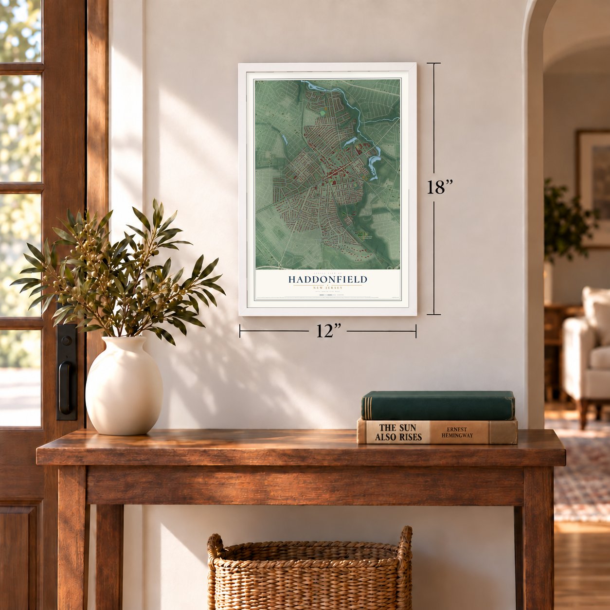
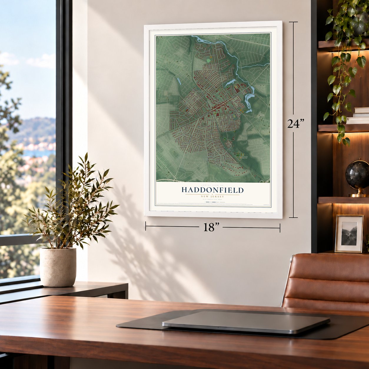
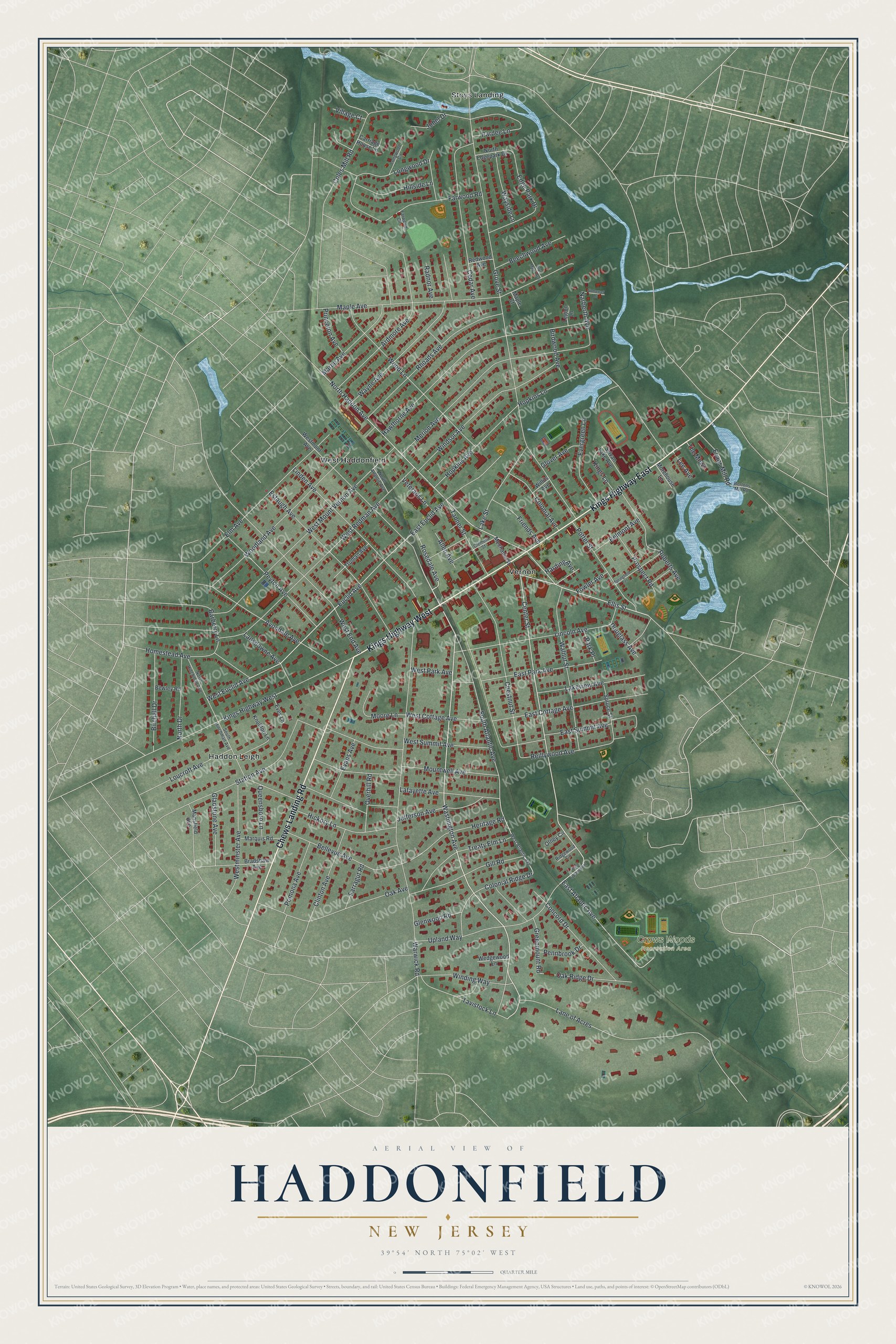
A new map of Haddonfield, New Jersey, made in 2026 and printed to order on thick archival matte paper.
12" x 18" Archival Matte Print
A Map of Home. A Work of Art.
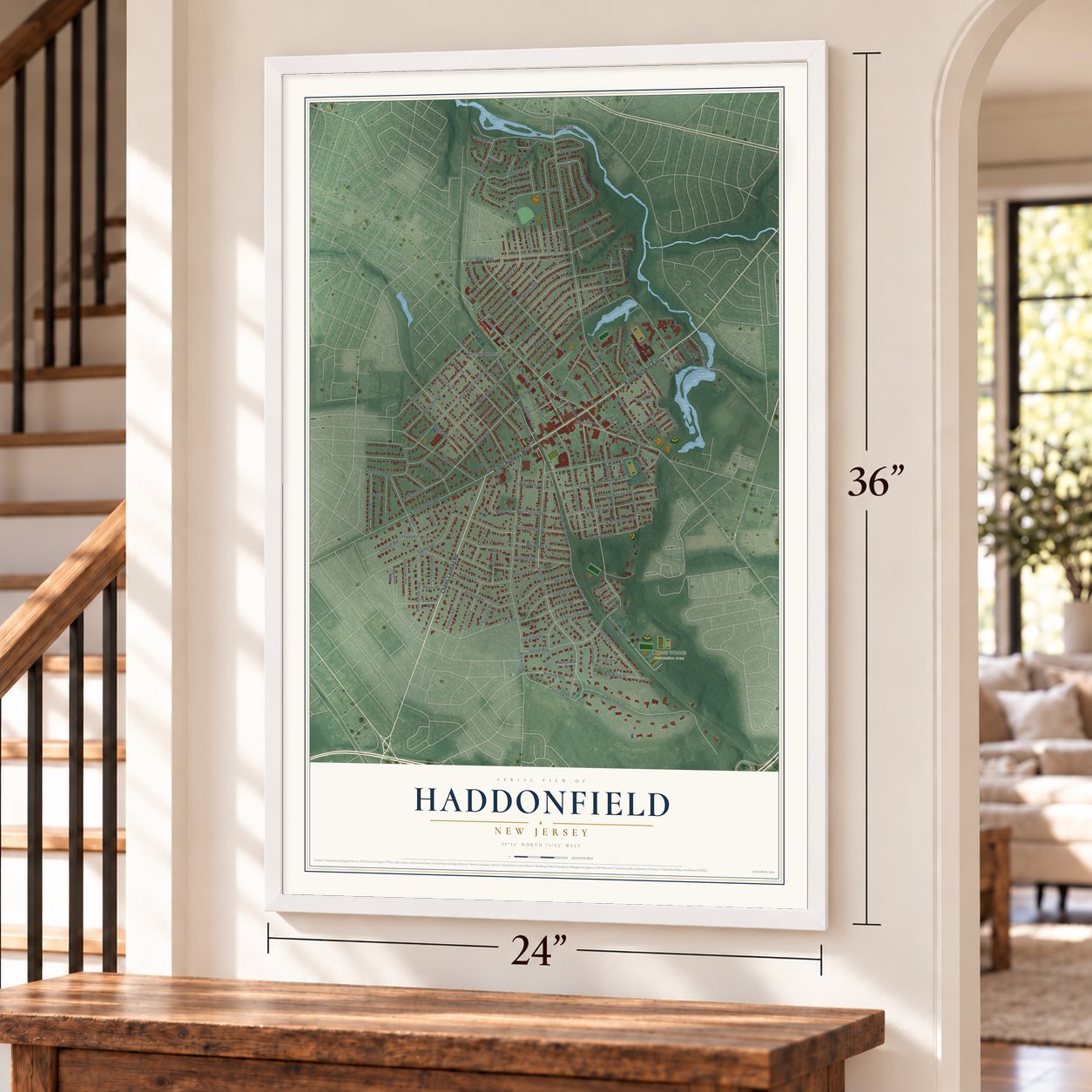
Explore Haddonfield, New Jersey from a whole new perspective. Created using aerial imagery and detailed geographic data, this map captures Haddonfield building by building, with labeled streets, familiar landmarks, and shaded topographical relief that highlights the natural contours of the landscape.
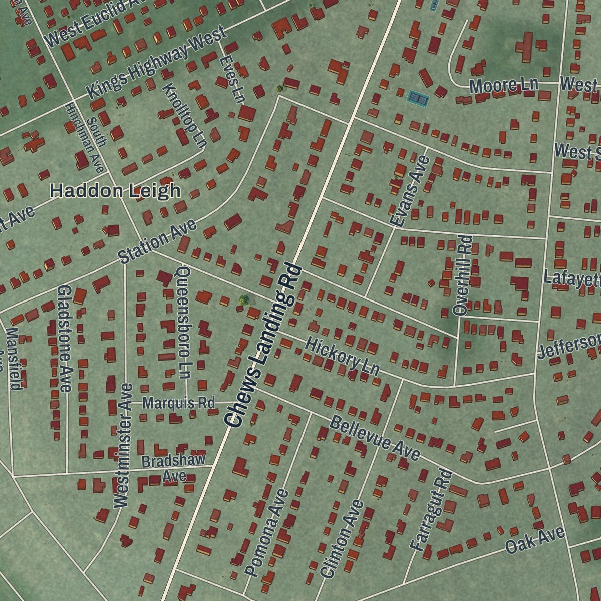
Combining modern data with the timeless character of a vintage atlas, this map is just as interesting up close as it is beautiful on the wall. Whether you grew up in Haddonfield, spent memorable years there, or call it home today, this unique map is a great way to celebrate a place that means something to you. Zoom in on the preview to look for your street, and then order a print to put your memories on the wall.
Three ways to hang it
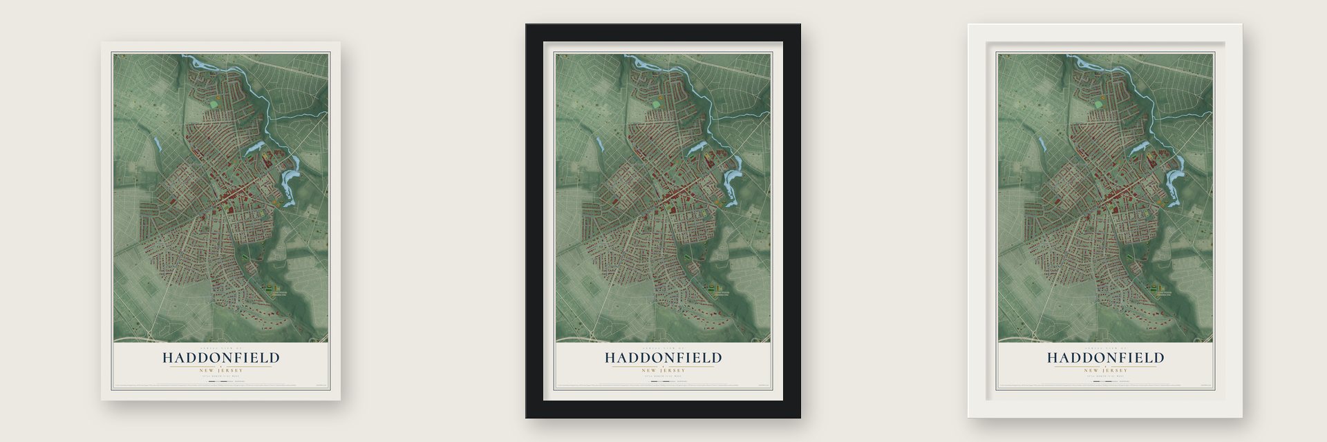
Unframed archival matte, a black wood frame or a white wood frame.
Up close
Geography Worth Displaying
This map was created using accurate cartographic data and authoritative geographic sources, including the U.S. Geological Survey (USGS) and FEMA. The map brings together terrain, waterways, roads, and building detail. The majority of the streets are labeled, houses are accurately depicted, and the topography is derived from government sources. Combining local data with carefully composed color and shading leads to this beautifully detailed Haddonfield artwork for your wall.
Rather than simply showing street outlines, we’ve included as many of the street names as we could reasonably fit on the map while keeping their names legible. Zoom in on the high resolution preview to see exactly what’s on the map. We truly set out to create a statement piece for anyone who loves Haddonfield. So whether it’s for you, or a gift for someone you love, we hope this map of Haddonfield brings back fond memories.
Explore the full map of Haddonfield, New Jersey and read about the local places it shows.

About Haddonfield, New Jersey
Haddonfield is a borough of 12,550 people in Camden County, New Jersey, where the Cooper River forms its border with Cherry Hill. Francis Collins, an English Quaker and bricklayer, became the first settler here on October 23, 1682, and built a house he called Mountwell on 400 acres. Another Quaker, John Haddon, bought 500 acres in West Jersey to escape religious persecution, though he never made the trip to America himself.
His daughter Elizabeth sailed alone from Southwark, England, in 1701 to oversee the family land, and she did much to develop the settlement. Soon after she arrived she proposed marriage to John Estaugh, a Quaker minister, and the two wed in 1702. The town that carries the Haddon name was incorporated as a borough on April 6, 1875, after a vote held that same day, and it became fully independent of Haddon Township in 1894.
- A capital in a tavernThe Indian King Tavern on Kings Highway was finished in 1750, with an older section from 1730. In 1777, while keeping clear of British forces, state lawmakers gathered in the room upstairs, declared New Jersey an independent state and adopted the state's Great Seal. The state bought the tavern in 1903, restored its early layout and opened it as a museum.
- Hadrosaurus from the marl pitIn 1838 Hopkins hit large bones while digging in a marl pit and showed them at Birdwood, his home. Visitor William Parker Foulke came back in 1858 and dug out North America's first fairly complete dinosaur skeleton, which Joseph Leidy named Hadrosaurus foulkii. Assembled in 1868, it was shown at Philadelphia's Academy of Natural Sciences. It became New Jersey's state dinosaur in 1991, and John Giannotti's 17-foot bronze of it was unveiled downtown in October 2003.
- Firefighters since 1764On March 8, 1764, 26 townsmen founded the Friendship Fire Company. Each man had to bring two leather buckets, and the company provided six ladders and three fire hooks. Known today as Haddon Fire Company No. 1, it ranks second in the nation among volunteer fire companies that have served without a break.
- Hopkins Pond's mill damIn 1789 John Estaugh Hopkins dammed a branch of the Cooper River to power a gristmill, which kept running until the 1850s. His earthen dam still holds back the 33-acre Hopkins Pond, and Hopkins Lane runs along its top.
- Preserved since 1971In 1971 Haddonfield followed Cape May as the second municipality in New Jersey to set up a historic preservation district. To keep the old look of the streets, some candidates for commissioner give their supporters colored ribbons to display instead of yard signs.
Find your street
Names on the Haddonfield map
Every name below is printed on this map. Look for your street, your school, the park where you played, or the pond down the road.
Places and landmarks5
- Crows Woods Recreation Area
- Haddon Leigh
- Stoys Landing
- Vernon
- West Haddonfield
Streets and roads149
- Kings Highway East
- Chews Landing Road
- Kings Highway West
- Washington Avenue
- Ellis Street
- Center Street
- North Haddon Avenue
- Rosedale Avenue
- West Euclid Avenue
- South Atlantic Avenue
- Grove Street
- Warwick Road
- West Redman Avenue
- West Mount Vernon Avenue
- Maple Avenue
- Coles Mill Road
- Hawthorne Avenue
- Lane of Acres
- Merion Avenue
- West End Avenue
- Hopkins Lane
- Linden Avenue
- Euclid Avenue
- Woodland Avenue
- Jefferson Avenue
- Wood Lane
- Estaugh Avenue
- Windsor Avenue
- Mountwell Avenue
- Wayne Avenue
Show all 149 streets
- Farwood Road
- Station Avenue
- Chestnut Street
- Lincoln Avenue
- Elm Avenue
- Rhoads Avenue
- Cedar Avenue
- West Summit Avenue
- Walnut Street
- Upland Way
- Ardmore Avenue
- East Park Avenue
- East Cottage Avenue
- Avondale Avenue
- Peyton Avenue
- Potter Street
- East Summit Avenue
- East Atlantic Avenue
- Marne Avenue
- Longwood Drive
- Bellevue Avenue
- Gill Road
- East Euclid Avenue
- Hopkins Avenue
- Heritage Road
- Homestead Avenue
- Roberts Avenue
- Treaty Elm Lane
- Westminster Avenue
- Colonial Ridge Drive
- Lakeview Avenue
- Hickory Lane
- Greenmount Road
- Concord Drive
- Reillywood Avenue
- Lafayette Avenue
- Birchall Drive
- Tavistock Lane
- Winding Way
- Lake Street
- Oak Avenue
- Oak Ridge Drive
- Evergreen Lane
- Tanner Street
- North Drive
- Clinton Avenue
- Hillside Lane
- West Cottage Avenue
- Beechwood Avenue
- Colonial Avenue
- Loucroft Avenue
- Pomona Avenue
- Lansdowne Avenue
- Gladstone Avenue
- Wayside Lane
- Prospect Road
- Moore Lane
- Edge Park Drive
- Friends Avenue
- West Park Avenue
- Evans Mill Road
- Evans Avenue
- Overhill Road
- Belmont Avenue
- Kings Lane
- Birdwood Avenue
- Queensboro Lane
- Narberth Avenue
- Princeton Avenue
- Glenwood Road
- Barberry Lane
- Pennbrook Drive
- Pardee Lane
- Glover Avenue
- Veterans Lane
- Douglass Avenue
- Allen Avenue
- Jobel Drive
- Radnor Avenue
- Farragut Road
- Harding Avenue
- Fowler Avenue
- The Mews
- Village Court
- Park Place
- Lee Avenue
- Westmont Avenue
- Knolltop Lane
- Spruce Street
- Bradshaw Avenue
- Sylvan Lake Avenue
- Marquis Road
- North Edgepark Drive
- Truman Avenue
- Carriage House Lane
- Wedgewood Lane
- Mechanic Street
- Mansfield Avenue
- Eves Lane
- Morehouse Lane
- Bewley Road
- Redwood Avenue
- Olney Circle
- Willits Avenue
- Legion Lane
- Maple Court
- South Hinchman Avenue
- West Atlantic Avenue
- North Hinchman Avenue
- Longwood Circle
- North Atlantic Avenue
- Ridgewood Circle
- Clement Street
- Farwood Circle
- Bortons Mill Road
- East Upland Way
- Springfield Terrace
- Bryn Mawr Avenue
- Somerset Drive
Names are listed as they appear on the printed map. Zoom into the product photos to find them.
The art of mapping a place
How This Map Was Made
Real places. Remarkable detail. Discover the layers that turn geographic data into a map of home.

The view from above
Aerial imagery reveals the character of the land: woodland, open fields, and the patterns of a place.

The shape of the land
Elevation data brings hills, valleys, and subtle changes in the landscape into view.

The details of home
Roads, waterways, and building footprints come together to make the map feel unmistakably local.

Geography becomes art
Considered color, shading, and typography bring the layers together in a map made for your wall.


Process illustrated with Mendon, Massachusetts. Aerial imagery: USDA NAIP. Terrain: USGS 3D Elevation Program. Map details and finished artwork: KNOWOL.
The Details
About This Print
Choose an archival matte print, or a black or white Ayous wood frame. The archival matte print is unframed.
Select your size and finish above to see the matching product image and price.
Materials & Craftsmanship
A contemporary map with the character of a classic atlas, printed on archival matte paper. Optional frames are made from Ayous wood.
Your printed map does not include the watermark shown in the full-map preview.
Shipping & Delivery
Free shipping within the United States. Every print is made to order in the USA.
Buying a gift? Add a note in your cart and we'll include it. We never put prices in the package.
Prints ship within 2 to 3 business days. Allow 7 to 10 days total from ordering for delivery. Timing may vary during holidays or periods of high order volume.
Read our shipping policy.
Returns and damaged prints
Each print is made to order. Change-of-mind refunds are not available after production.
If your print arrives damaged, misprinted or incorrect, contact support@knowol.com within 30 days of receiving it. Include your order number, photos and a description of the issue.
Read our full refund and replacement policy. For questions about your order, email support@knowol.com.
Find your town
Looking for another city?
Find a map of home in our New Jersey collection, or any town in the country.
Nearby
Maps of towns near Haddonfield
Know someone from one of these towns? Their map makes a great gift.
 Tavistock
, New Jersey
From $39.99See the map
 Westmont
, New Jersey
From $39.99See the map
 Haddon
, New Jersey
From $39.99See the map
More maps nearby: Barclay, Ashland, Lawnside, Haddon Heights and Barrington.