
Search for another town





Free U.S. delivery 7 to 10 days after you order
Hampton, Connecticut Map Art
Building by building, with labeled streets and shaded relief.
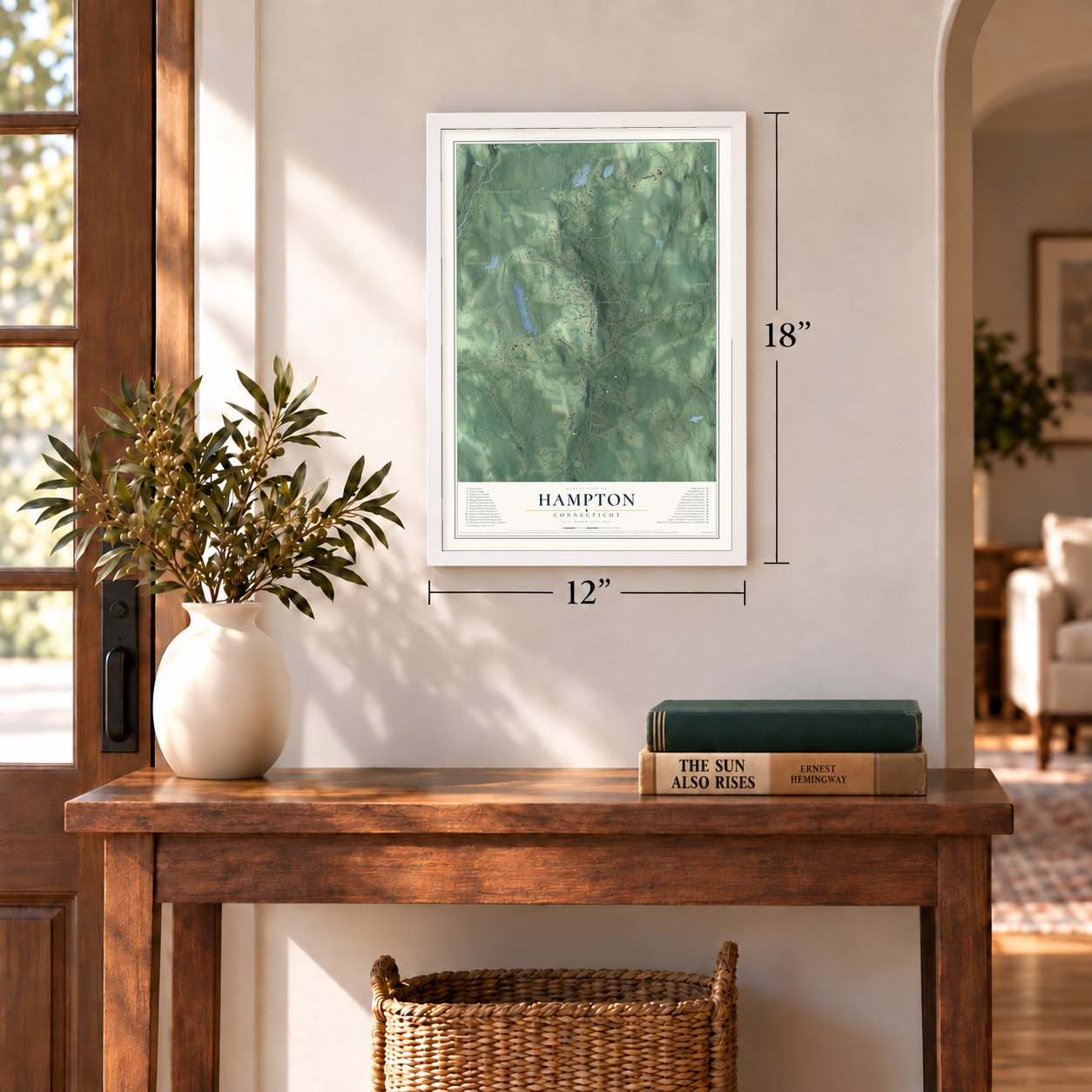
12" x 18" Archival Matte Print
A Map of Home. A Work of Art.
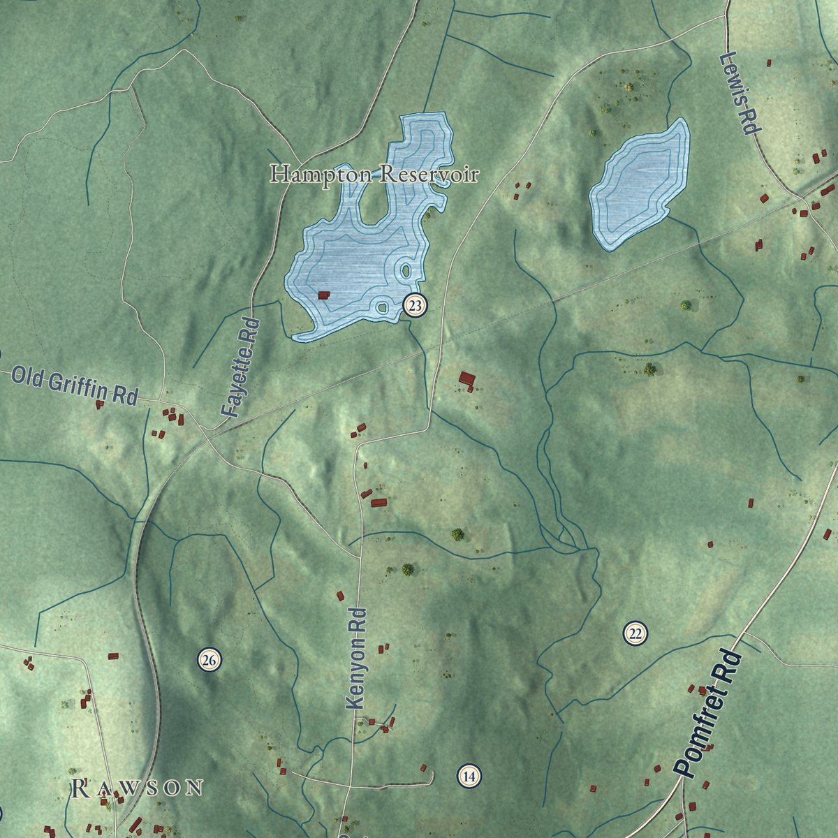
Explore Hampton, Connecticut from a whole new perspective. Created using aerial imagery and detailed geographic data, this map captures Hampton building by building, with labeled streets, familiar landmarks, and shaded topographical relief that highlights the natural contours of the landscape.
Combining modern data with the timeless character of a vintage atlas, this map is just as interesting up close as it is beautiful on the wall. Whether you grew up in Hampton, spent memorable years there, or call it home today, this unique map is a great way to celebrate a place that means something to you. Zoom in on the preview to look for your street, and then order a print to put your memories on the wall.

Three ways to hang it
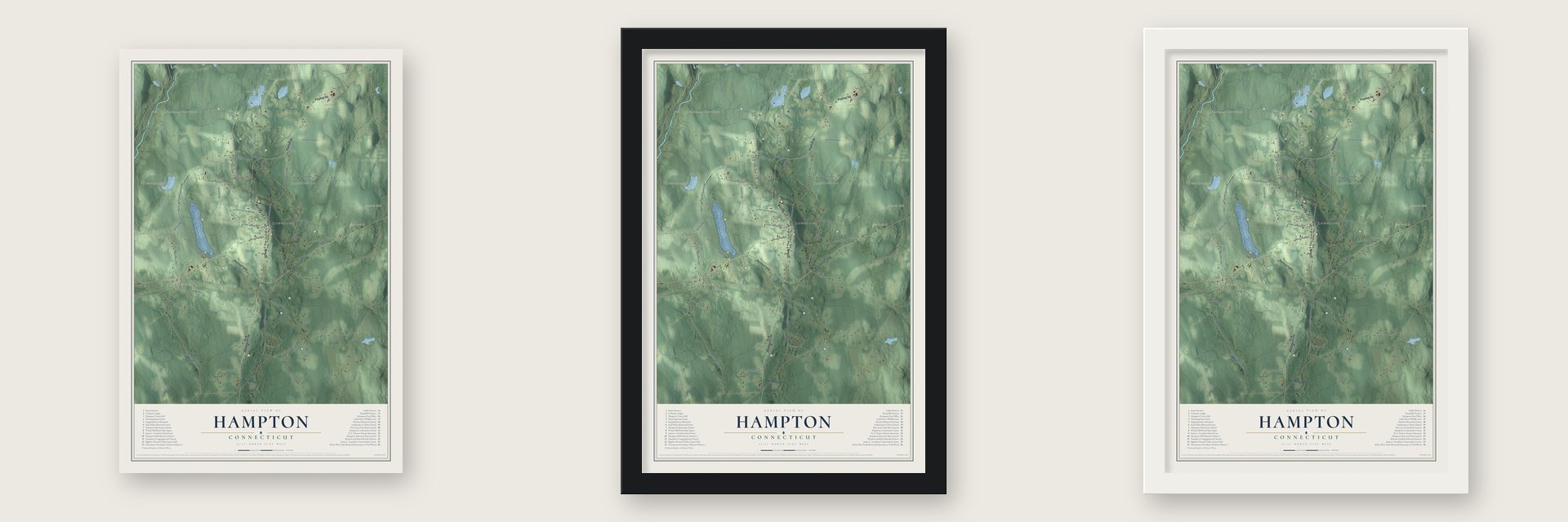
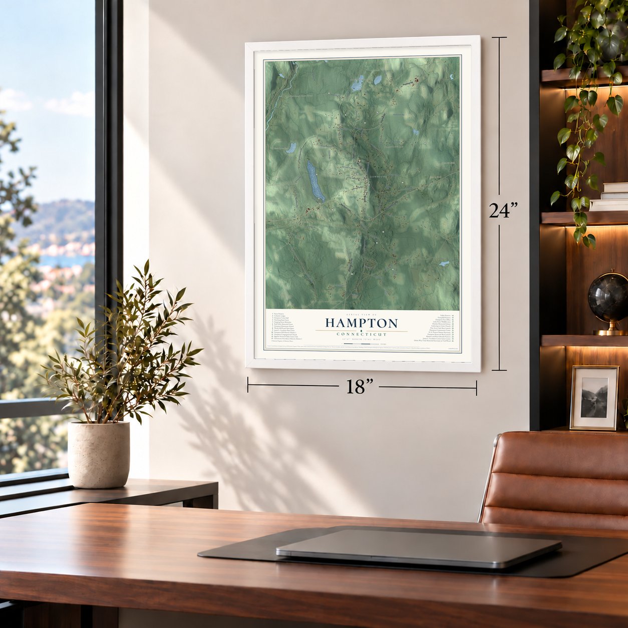
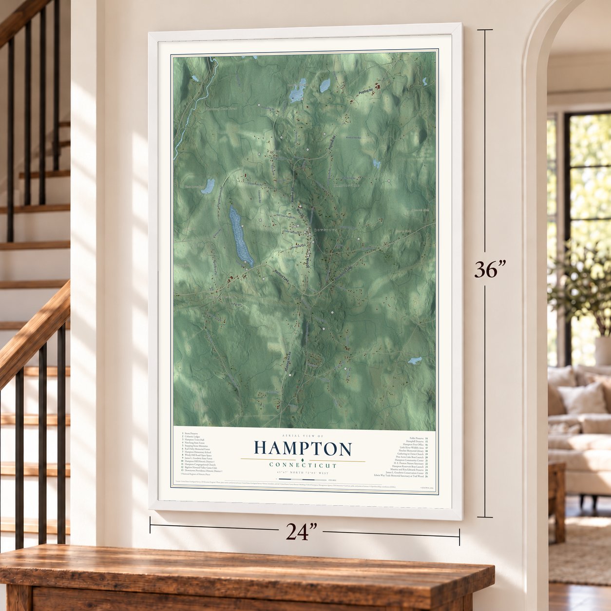
Unframed archival matte, a black wood frame or a white wood frame.
Up close
Geography Worth Displaying
This map was created using accurate cartographic data and authoritative geographic sources, including the U.S. Geological Survey (USGS) and FEMA. The map brings together terrain, waterways, roads, and building detail. The majority of the streets are labeled, houses are accurately depicted, and the topography is derived from government sources. Combining local data with carefully composed color and shading leads to this beautifully detailed Hampton artwork for your wall.
Rather than simply showing street outlines, we’ve included as many of the street names as we could reasonably fit on the map while keeping their names legible. Zoom in on the high resolution preview to see exactly what’s on the map. We truly set out to create a statement piece for anyone who loves Hampton. So whether it’s for you, or a gift for someone you love, we hope this map of Hampton brings back fond memories.
Explore the full map of Hampton, Connecticut and read about the local places it shows.
Find your street
Names on the Hampton map
Every name below is printed on this map. Look for your street, your school, the park where you played, or the pond down the road.
Places and landmarks11
- Downtown
- Clarks Corner
- Rawson
- Hamptonville
- Alworth Hill
- Bear Hill
- Cherry Hill
- Clark Hill
- Black Spruce Pond
- Hampton Reservoir
- Natchaug State Forest
Streets and roads51
- Main Street
- Hartford Turnpike
- Pomfret Road
- Providence Turnpike
- Pudding Hill Road
- Cannon Road
- Station Road
- South Brook Road
- Kenyon Road
- Windham Road
- Old Kings Highway
- North Brook Street
- Reilly Road
- North Bigelow Road
- South Bigelow Road
- East Old Route 6
- Windy Hill Road
- Brook Road
- Kimball Hill Road
- Drain Street
- Eleventh Section Road
- Sand Hill Road
- Estabrooks Road
- Old Griffin Road
- West Old Route 6
- Fayette Road
- Cedar Swamp Road
- Sarah Pearl Road
- Hammond Hill Road
- Bennett Drive
Show all 51 streets
- Potter Road
- Bigelow Road
- Lewis Road
- Old Town Pound Road
- Rogers Road
- Parker Road
- Kingsbury Road
- New Hill Road
- Edwards Road
- Utley Road
- Fisk Street
- Cemetery Road
- Lennys Lane
- Spicer Road
- John Mack Road
- Old Canterbury Road
- Calvin Burnham Road
- Landfill Road
- Robbins Road
- Neff Road
- Hemlock Glen Road
Names are listed as they appear on the printed map. Zoom into the product photos to find them.
About Hampton, Connecticut
Hampton is a town of 1,728 people in Windham County, in Connecticut's northeastern corner, the area people call the Quiet Corner. Settlers began arriving about 1708 in the northern part of Windham, and in 1717 they won a church society of their own. It was named Canada Parish after David Canada or Kennedy, the first settler, and was known as well as Windham Village. The church was gathered with 17 members on June 5, 1723, and by 1730 the parish had a road to Pomfret, a military company under Captain Nathaniel Kingsbury, Nathaniel Hovey's tavern and Benjamin Bidlack's store. The meetinghouse built in 1754 still stands on the hill.
In 1786 the parish became the town of Hampton, carved from parts of five towns: Pomfret, Brooklyn, Canterbury, Mansfield and Windham. The new town's first meeting chose Lieutenant Jacob Preston as its Leather Sealer. Hampton remained a farming town, and in 1862 it met its Civil War quota of nine soldiers with volunteers, so it never had to hold a draft. The New York and New England Railroad came through in 1872 and brought summer visitors.
“One of the beautiful towns of this beautiful rural county is the town of Hampton.”
- Raised by women in 1776During the Revolution, a carpenter built the frame of a house for a young soldier and his intended bride, but with Hampton's men off in the Continental Army, too few strong men remained to lift the frame into place. The bride-to-be, Sally Bowers, called on the town's women, and together they raised it. A magazine writer in 1906 found the house still standing. It had twelve low rooms around a huge fireplace.
- A liberty pole from 1849In 1849 Jonathan Clark put up a liberty pole at Clark's Corner and marked it with how far it was to Hartford and other towns. The pole is still preserved there.
- Lying Ben and 173 oxenBenjamin Fuller, a farmer and hunter who died in 1840, told stories so well that neighbors nicknamed him Lying Ben. A smith also named Fuller hung out his horseshoe sign on credit, outlasted rivals who bragged they would soon nail him, and was the town's leading smith for thirty-five years. He liked to claim he had once shod 173 oxen in one winter.
- Trail Wood since 1959Edwin Way Teale and his wife, Nellie, moved from Long Island in 1959 to an old farm in northern Hampton, which they named Trail Wood. He finished ten of his books there, including the Pulitzer Prize winner of 1966, Wandering Through Winter. After his death Nellie gave the farm to the Connecticut Audubon Society in 1981, and it is now a 168-acre sanctuary bearing his name.
- A governor from HamptonChauncey F. Cleveland of Hampton became governor of Connecticut in 1842 and served two years. He came home to Hampton and died there on June 6, 1887.
Keep exploring Connecticut
Hampton is one of 382 Connecticut towns we've mapped. Every dot on the map is a print of its own.
The search covers every state, Connecticut first.
Near Hampton
Order 2 or more town maps and save 10%. Shown in the size and finish you picked above, so they hang as a set.
- Chaplin 12" x 18" / Archival Matte Print $39.99
- Brooklyn 12" x 18" / Archival Matte Print $39.99
- North Windham 12" x 18" / Archival Matte Print $39.99

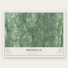
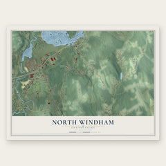
More maps nearby: Scotland, Mansfield Center, Canterbury, Windham and Pomfret.
The art of mapping a place
How This Map Was Made
Real places. Remarkable detail. Discover the layers that turn geographic data into a map of home.

The view from above
Aerial imagery reveals the character of the land: woodland, open fields, and the patterns of a place.

The shape of the land
Elevation data brings hills, valleys, and subtle changes in the landscape into view.

The details of home
Roads, waterways, and building footprints come together to make the map feel unmistakably local.

Geography becomes art
Considered color, shading, and typography bring the layers together in a map made for your wall.


Process illustrated with Mendon, Massachusetts. Aerial imagery: USDA NAIP. Terrain: USGS 3D Elevation Program. Map details and finished artwork: KNOWOL.
The Details
About This Print
Choose an archival matte print, or a black or white Ayous wood frame. The archival matte print is unframed.
Select your size and finish above to see the matching product image and price.
Materials & Craftsmanship
A contemporary map with the character of a classic atlas, printed on archival matte paper. Optional frames are made from Ayous wood.
Your printed map does not include the watermark shown in the full-map preview.
Shipping & Delivery
Free shipping within the United States. Every print is made to order in the USA.
Buying a gift? Add a note in your cart and we'll include it. We never put prices in the package.
Prints ship within 2 to 3 business days. Allow 7 to 10 days total from ordering for delivery. Timing may vary during holidays or periods of high order volume.
Read our shipping policy.
Returns and damaged prints
Each print is made to order. Change-of-mind refunds are not available after production.
If your print arrives damaged, misprinted or incorrect, contact support@knowol.com within 30 days of receiving it. Include your order number, photos and a description of the issue.
Read our full refund and replacement policy. For questions about your order, email support@knowol.com.