
Search for another town


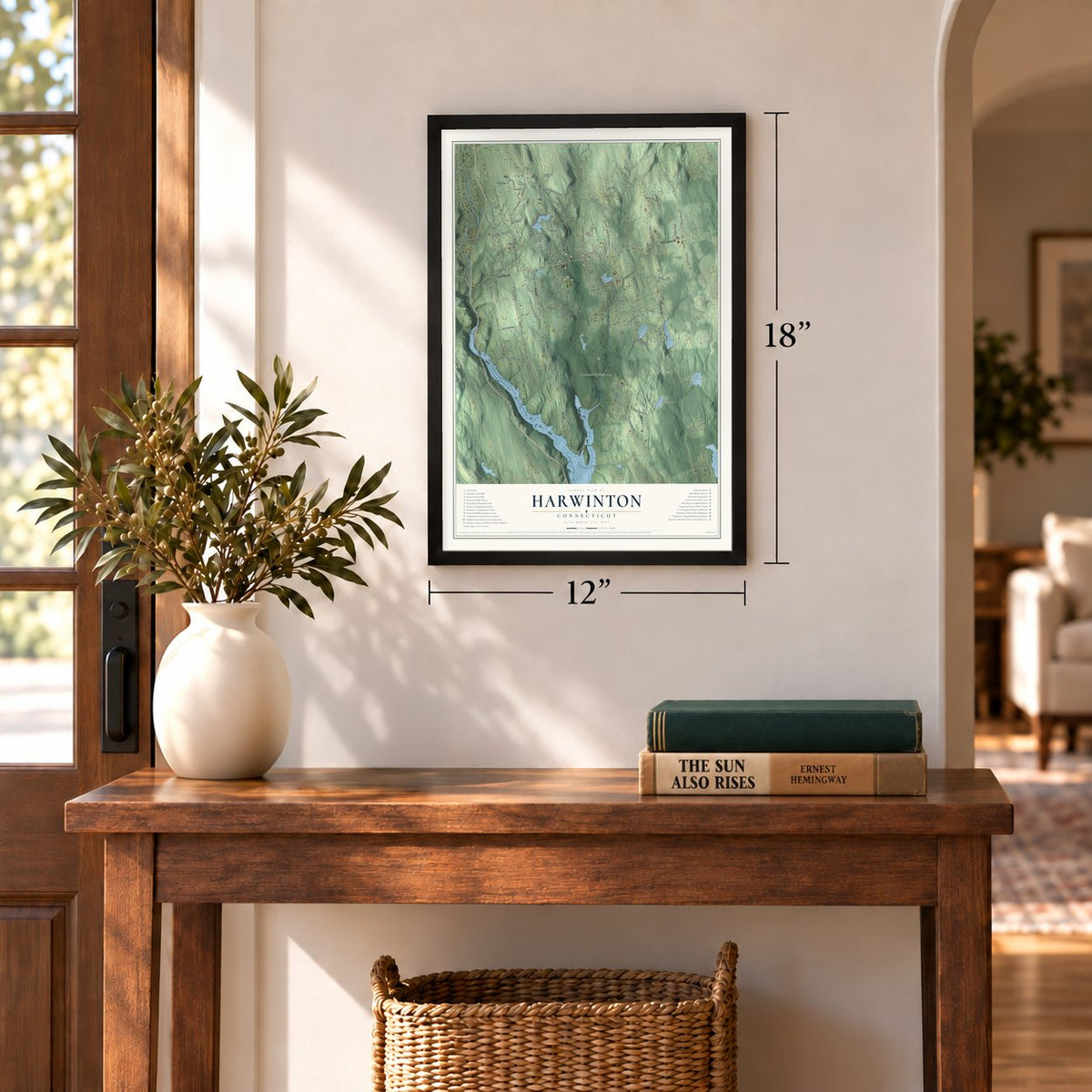
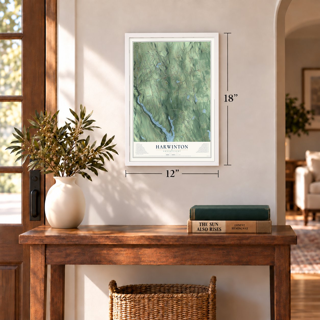

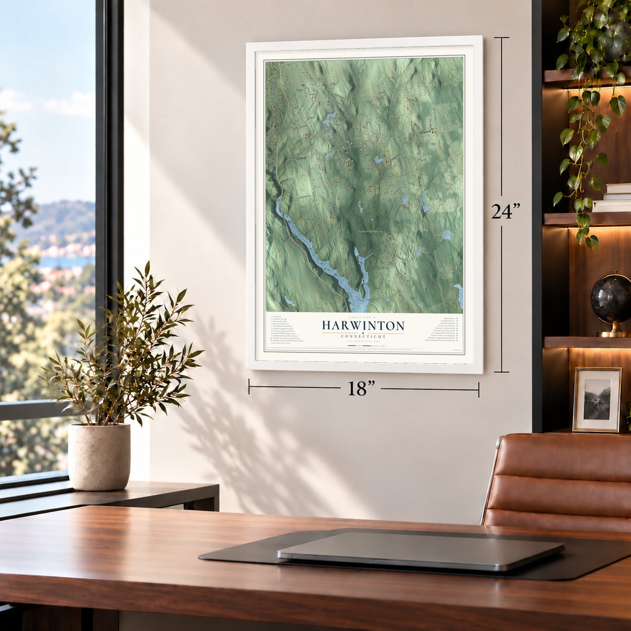

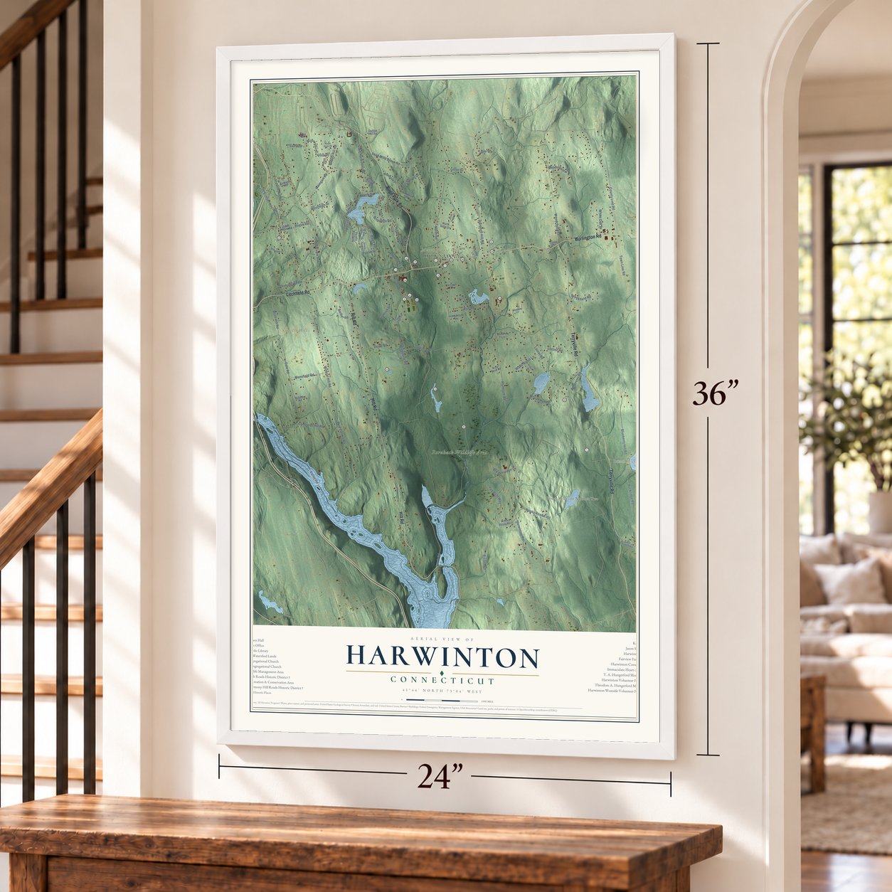
Free U.S. delivery 7 to 10 days after you order
Harwinton, Connecticut Map Art
A new map of Harwinton, Connecticut, made in 2026 and printed to order on thick archival matte paper.
12" x 18" Archival Matte Print
A Map of Home. A Work of Art.
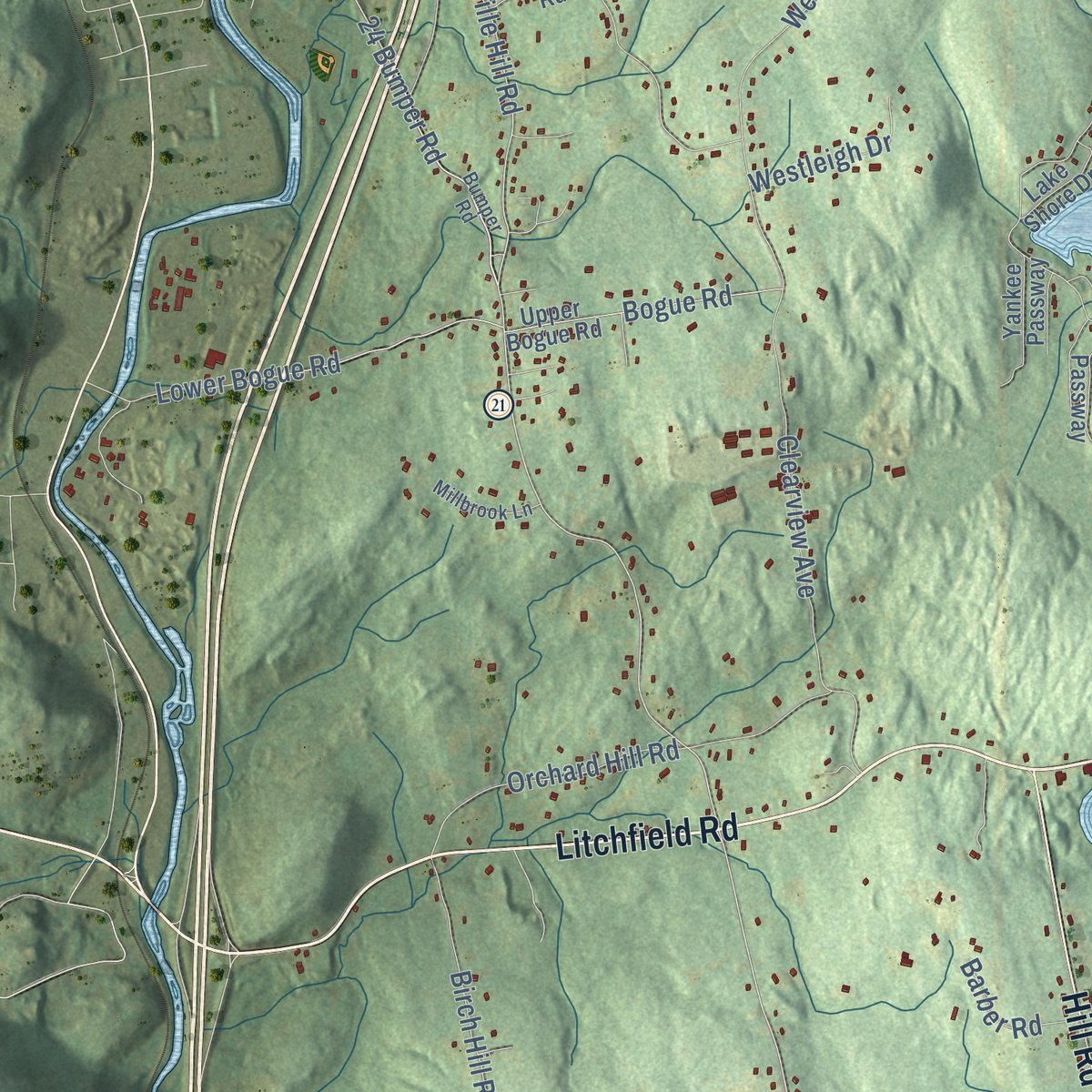
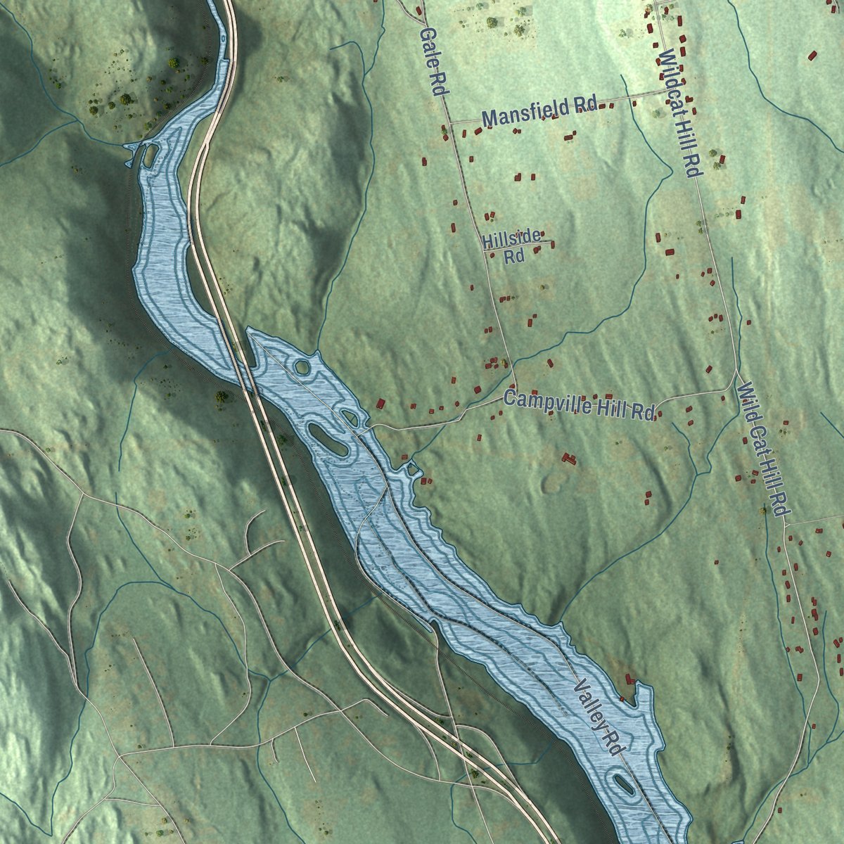
Explore Harwinton, Connecticut from a whole new perspective. Created using aerial imagery and detailed geographic data, this map captures Harwinton building by building, with labeled streets, familiar landmarks, and shaded topographical relief that highlights the natural contours of the landscape.
Combining modern data with the timeless character of a vintage atlas, this map is just as interesting up close as it is beautiful on the wall. Whether you grew up in Harwinton, spent memorable years there, or call it home today, this unique map is a great way to celebrate a place that means something to you. Zoom in on the preview to look for your street, and then order a print to put your memories on the wall.

Three ways to hang it
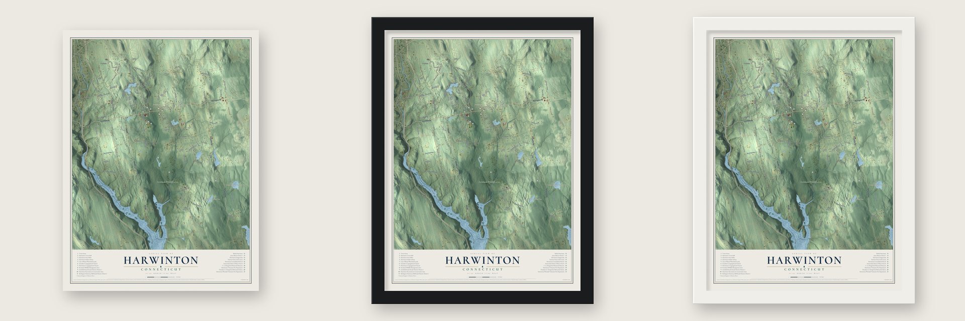
Unframed archival matte, a black wood frame or a white wood frame.
Up close
Geography Worth Displaying
This map was created using accurate cartographic data and authoritative geographic sources, including the U.S. Geological Survey (USGS) and FEMA. The map brings together terrain, waterways, roads, and building detail. The majority of the streets are labeled, houses are accurately depicted, and the topography is derived from government sources. Combining local data with carefully composed color and shading leads to this beautifully detailed Harwinton artwork for your wall.
Rather than simply showing street outlines, we’ve included as many of the street names as we could reasonably fit on the map while keeping their names legible. Zoom in on the high resolution preview to see exactly what’s on the map. We truly set out to create a statement piece for anyone who loves Harwinton. So whether it’s for you, or a gift for someone you love, we hope this map of Harwinton brings back fond memories.
Explore the full map of Harwinton, Connecticut and read about the local places it shows.

About Harwinton, Connecticut
Harwinton is a town of 5,484 people in Litchfield County, with the Naugatuck River along its western side. In May 1729 the Connecticut Colony gave this land to Hartford and Windsor and divided it between them. Daniel Messenger arrived as the first settler in January 1730 and put up the first proper house in 1731. The town was incorporated in October 1737 and held its first town meeting on December 20. Its name joins its two owners: Har from Hartford, Win from Windsor, and ton for town.
In December 1732 Messenger and the East Harwinton proprietors repaired the road from Farmington to Litchfield. It remained a main highway well into the stagecoach years, and it is Route 4 today. In 1780 General Henry Knox, the Marquis de Lafayette and George Washington rode along it, returning to West Point after their meeting with the French at Hartford. They stopped at Abijah Catlin Jr.'s store and inn at the crossroads once called Catlin's Corners, where the town's young women served them refreshments.
“It presented a pageant which, sixty years afterwards, aged citizens vividly remembered.”
- The hunt for a lead rockEarly settlers were told of a lead rock hidden in the hills, pure enough to cut without melting, and Joseph Merriman was said to have cast bullets from it before he lost track of the place. During the Revolution, when musket lead ran short, somewhere between one hundred and five hundred men combed the woods, split into three groups under three ministers.
- Wagons headed southHarwinton never had big mills, so its shops turned out hats, clocks, flutes, fifes, bricks and tinware. Tin peddling grew into a trading craze, and around 1835 scores of young men drove loaded wagons south to sell goods there. Jabez McCall Camp purchased Morse's mills about 1837. During the Civil War he shipped timber to the Brooklyn Navy Yard, and his village near the station became Campville.
- A court case in 1864During the Civil War the town paid $300 to men who were drafted. The fight over those payments, Webster v. Harwinton, became a landmark case on what powers a town holds.
- The fair since 1853The first Harwinton Fair was held in 1853. It still runs every year at the Harwinton Fairgrounds and celebrates the farming that has long been the town's way of life.
- A farmhouse taken apartJason Skinner, a prosperous farmer, built a Greek Revival farmhouse around 1845 beside Valley View Pond. The house was carefully taken apart in 1985 and put back together near the town offices and library, with its original woodwork still inside. The Jason Skinner House joined the National Register that same year.
Find your street
Names on the Harwinton map
Every name below is printed on this map. Look for your street, your school, the park where you played, or the pond down the road.
Places and landmarks16
- East Litchfield
- Burlington--Harmony Hill Roads Historic District
- City of Bristol Watershed Lands
- Fairview Farm Golf Course
- Harwinton Consolidated School
- Harwinton Fairgrounds
- Harwinton Post Office
- Harwinton Public Library
- Harwinton Recreation & Conservation Area
- Harwinton Town Hall
- Harwinton Westside Volunteer Fire Department
- Kalmia Sanctuary
Show all 16 places
- Litchfield--South Roads Historic District
- Roraback Wildlife Management Area
- Theodore A. Hungerford Memorial Library
- Town Green
Streets and roads18
- Breezy Hill Rd
- Vista Dr
- Harwinton Rd
- Weingart Rd
- Perkins Hill Rd
- Hill St
- Silo Dr
- Brook Rd
- Beechwood Dr
- Hill Rd
- Oak Dr
- Frederick Dr
- Mansfield Rd
- Bull Rd
- Reservoir Rd
- Scoville Hill Rd
- Valley Rd
- Wild Cat Hill Rd
Names are listed as they appear on the printed map. Zoom into the product photos to find them.
The art of mapping a place
How This Map Was Made
Real places. Remarkable detail. Discover the layers that turn geographic data into a map of home.

The view from above
Aerial imagery reveals the character of the land: woodland, open fields, and the patterns of a place.

The shape of the land
Elevation data brings hills, valleys, and subtle changes in the landscape into view.

The details of home
Roads, waterways, and building footprints come together to make the map feel unmistakably local.

Geography becomes art
Considered color, shading, and typography bring the layers together in a map made for your wall.


Process illustrated with Mendon, Massachusetts. Aerial imagery: USDA NAIP. Terrain: USGS 3D Elevation Program. Map details and finished artwork: KNOWOL.
The Details
About This Print
Choose an archival matte print, or a black or white Ayous wood frame. The archival matte print is unframed.
Select your size and finish above to see the matching product image and price.
Materials & Craftsmanship
A contemporary map with the character of a classic atlas, printed on archival matte paper. Optional frames are made from Ayous wood.
Your printed map does not include the watermark shown in the full-map preview.
Shipping & Delivery
Free shipping within the United States. Every print is made to order in the USA.
Buying a gift? Add a note in your cart and we'll include it. We never put prices in the package.
Prints ship within 2 to 3 business days. Allow 7 to 10 days total from ordering for delivery. Timing may vary during holidays or periods of high order volume.
Read our shipping policy.
Returns and damaged prints
Each print is made to order. Change-of-mind refunds are not available after production.
If your print arrives damaged, misprinted or incorrect, contact support@knowol.com within 30 days of receiving it. Include your order number, photos and a description of the issue.
Read our full refund and replacement policy. For questions about your order, email support@knowol.com.
Find your town
Looking for another city?
Find a map of home in our Connecticut collection, or any town in the country.
Nearby
Maps of towns near Harwinton
Know someone from one of these towns? Their map makes a great gift.
 Northwest Harwinton
, Connecticut
From $39.99See the map
 Burlington
, Connecticut
From $39.99See the map
 Torrington
, Connecticut
From $39.99See the map
More maps nearby: New Hartford, Terryville, Plymouth, Thomaston and Litchfield.