
Search for another town





Free U.S. delivery 7 to 10 days after you order
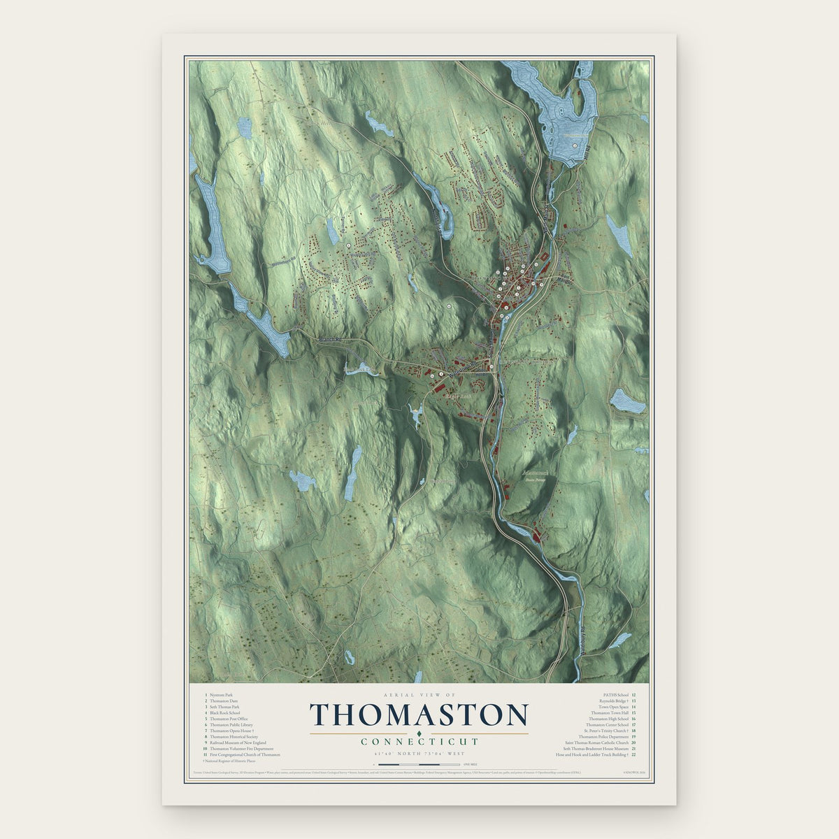
Thomaston, Connecticut Map Art
Building by building, with labeled streets and shaded relief.
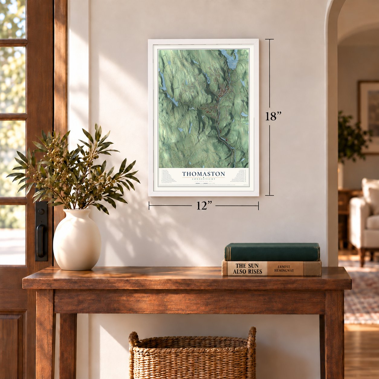
12" x 18" Archival Matte Print
A Map of Home. A Work of Art.
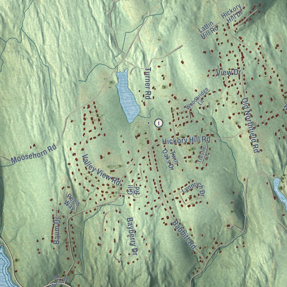
Explore Thomaston, Connecticut from a whole new perspective. Created using aerial imagery and detailed geographic data, this map captures Thomaston building by building, with labeled streets, familiar landmarks, and shaded topographical relief that highlights the natural contours of the landscape.
Combining modern data with the timeless character of a vintage atlas, this map is just as interesting up close as it is beautiful on the wall. Whether you grew up in Thomaston, spent memorable years there, or call it home today, this unique map is a great way to celebrate a place that means something to you. Zoom in on the preview to look for your street, and then order a print to put your memories on the wall.

Three ways to hang it
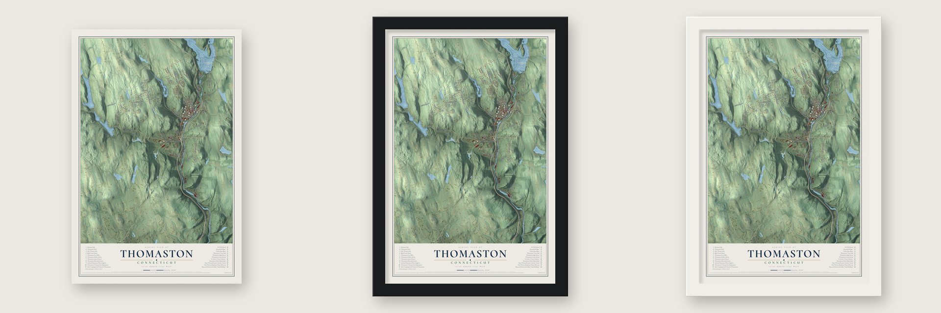
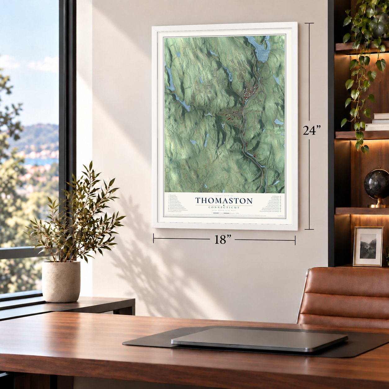
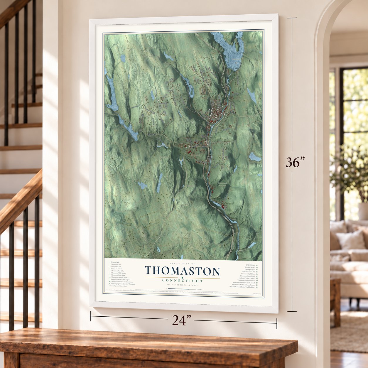
Unframed archival matte, a black wood frame or a white wood frame.
Up close
Geography Worth Displaying
This map was created using accurate cartographic data and authoritative geographic sources, including the U.S. Geological Survey (USGS) and FEMA. The map brings together terrain, waterways, roads, and building detail. The majority of the streets are labeled, houses are accurately depicted, and the topography is derived from government sources. Combining local data with carefully composed color and shading leads to this beautifully detailed Thomaston artwork for your wall.
Rather than simply showing street outlines, we’ve included as many of the street names as we could reasonably fit on the map while keeping their names legible. Zoom in on the high resolution preview to see exactly what’s on the map. We truly set out to create a statement piece for anyone who loves Thomaston. So whether it’s for you, or a gift for someone you love, we hope this map of Thomaston brings back fond memories.
Explore the full map of Thomaston, Connecticut and read about the local places it shows.

Find your street
Names on the Thomaston map
Every name below is printed on this map. Look for your street, your school, the park where you played, or the pond down the road.
Places and landmarks10
- Downtown
- Reynolds Bridge
- Bald Hill
- Black Rock
- Camp Hill
- Eagle Rock
- Birdsall Pond
- Black Rock Lake
- Mattatuck State Forest
- Thomaston Dam
Streets and roads72
- North Main Street
- Northfield Road
- Hill Road
- Watertown Road
- Branch Road
- Waterbury Road
- South Main Street
- High Street Extended
- Clay Street
- Moosehorn Road
- Pleasant Street
- Prospect Street
- River Street
- Hickory Hill Road
- Old Northfield Road
- Walnut Hill Road
- Old Branch Road
- Fenn Road
- Cedar Mountain Road
- Reynolds Bridge Road
- Litchfield Street
- Smith Road
- Carter Road
- Babbitt Road
- Bayberry Drive
- Atwood Road
- High Street
- Edwin Lane
- Turner Road
- West Hill Road
Show all 72 streets
- Elm Street
- Railroad Street
- Bristol Street
- Valley View Road
- Blakeman Road
- Marthas Way
- Chapel Street
- Marine Street
- Baum Drive
- Williams Street
- Ada Drive
- Tracy Street
- View Drive
- East Main Street
- Pine Hill Road
- Hickory Hill Drive
- Edgewood Avenue
- Jackson Street
- Humiston Circle
- Lynnrich Drive
- Center Street
- Old Waterbury Road
- Stevens Boulevard
- Leigh Avenue
- Julia Lane
- Peg's Way
- Twin Oaks Drive
- Lattin Hill Road
- Howard Lane
- Park Street
- Gill Road
- Pleasant View Road
- Woodbridge Lane
- Hotchkiss Avenue
- Trestle Lane
- Laurel Drive
- Twin Pond Road
- Electric Avenue
- Patricia Lane
- Old Morris Road
- Blue Trail Drive
- Cables Lane
Names are listed as they appear on the printed map. Zoom into the product photos to find them.
About Thomaston, Connecticut
Thomaston is a town of 7,442 people in Litchfield County, where Northfield Brook and Black Rock Brook join the Naugatuck River. Around 1728 Henry Cook, known afterward as "the soldier in the wilderness," built a home here, back when the land belonged to Plymouth and the village in the valley was called Plymouth Hollow.
Clockmaking came to the Hollow in 1803 with Eli Terry's factory. In 1813 Seth Thomas bought a small shop that Heman Clark had built in 1809 and began making clocks with about twenty workers. His business became the Seth Thomas Clock Company in 1853, six years before he died. When the village split from Plymouth on July 6, 1875, the new town took its name from him.
“Thomaston now numbers two thousand inhabitants, and is an enterprising, thriving village. Such has Wolcott lost, and such has Plymouth gained, and such are the results of the energy of one man.”
- Paid once a yearSeth Thomas paid his early workers only once a year. Horse teams brought lumber and supplies from New Haven and Hartford and took finished clocks back. A teamster hired in 1834 remembered making the New Haven run three times a week, usually with six horses. That year Thomas also opened a cotton mill by the covered bridge, and about 1852 a brass mill near the depot.
- Opera house and town hallRobert Wakeman Hill of Waterbury designed the Thomaston Opera House, built from 1883 to 1885 on land that Seth Thomas's son Aaron gave the town. The brick Romanesque hall, topped by a clock tower of five stages, has shown plays and movies since it opened. After a restoration the town offices moved to its first floor, and the Landmark Community Theatre performs upstairs. It joined the National Register in 1972.
- Bricks from the Thomas brickyardThe town's brick firehouse on Main Street, the Hose and Hook and Ladder Truck Building, rose in 1882 with a Venetian-style tower. Hill designed it with bricks from the Seth Thomas family brickyard. Fire companies left in 1979, and it is now an art gallery. Next door, Trinity Church's parish began with Sunday evening services and paid $1,500 for a former Methodist meeting house.
- Reynolds Bridge, 1928The Naugatuck has often tested the town. A covered bridge crossed it in the village in 1836, and in 1875 a cloudburst destroyed railroad bridges and stonework between Thomaston and Waterbury. In 1928 the state opened Reynolds Bridge, whose three concrete arches lift Waterbury Road above the river, the railroad and a former trolley route. Its 169-foot main arch was longer than any such bridge the State Highway Department had designed before. It joined the National Register in 2004.
- After the flood of 1955The flood of 1955 ravaged Thomaston, and in the years after it the Army Corps of Engineers built flood control dams on the Naugatuck, Northfield Brook and Black Rock Brook. To make room for Thomaston Dam, the railroad had to relocate about eight miles of its tracks during 1959 and 1960. Today the Railroad Museum of New England runs excursion and freight trains from Thomaston on a 21-mile stretch of former New Haven line linking Waterbury and Torrington.
Keep exploring Connecticut
Thomaston is one of 382 Connecticut towns we've mapped. Every dot on the map is a print of its own.
The search covers every state, Connecticut first.
Near Thomaston
Order 2 or more town maps and save 10%. Shown in the size and finish you picked above, so they hang as a set.
- Watertown 12" x 18" / Archival Matte Print $39.99
- Plymouth 12" x 18" / Archival Matte Print $39.99
- Terryville 12" x 18" / Archival Matte Print $39.99


More maps nearby: Oakville, Bethlehem Village, Morris, Bethlehem and Harwinton.
The art of mapping a place
How This Map Was Made
Real places. Remarkable detail. Discover the layers that turn geographic data into a map of home.

The view from above
Aerial imagery reveals the character of the land: woodland, open fields, and the patterns of a place.

The shape of the land
Elevation data brings hills, valleys, and subtle changes in the landscape into view.

The details of home
Roads, waterways, and building footprints come together to make the map feel unmistakably local.

Geography becomes art
Considered color, shading, and typography bring the layers together in a map made for your wall.


Process illustrated with Mendon, Massachusetts. Aerial imagery: USDA NAIP. Terrain: USGS 3D Elevation Program. Map details and finished artwork: KNOWOL.
The Details
About This Print
Choose an archival matte print, or a black or white Ayous wood frame. The archival matte print is unframed.
Select your size and finish above to see the matching product image and price.
Materials & Craftsmanship
A contemporary map with the character of a classic atlas, printed on archival matte paper. Optional frames are made from Ayous wood.
Your printed map does not include the watermark shown in the full-map preview.
Shipping & Delivery
Free shipping within the United States. Every print is made to order in the USA.
Buying a gift? Add a note in your cart and we'll include it. We never put prices in the package.
Prints ship within 2 to 3 business days. Allow 7 to 10 days total from ordering for delivery. Timing may vary during holidays or periods of high order volume.
Read our shipping policy.
Returns and damaged prints
Each print is made to order. Change-of-mind refunds are not available after production.
If your print arrives damaged, misprinted or incorrect, contact support@knowol.com within 30 days of receiving it. Include your order number, photos and a description of the issue.
Read our full refund and replacement policy. For questions about your order, email support@knowol.com.