
Search for another town
Free U.S. delivery 7 to 10 days after you order
Watertown, Connecticut Map Art
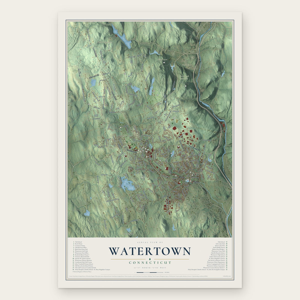
Building by building, with labeled streets and shaded relief.
12" x 18" Archival Matte Print
A Map of Home. A Work of Art.
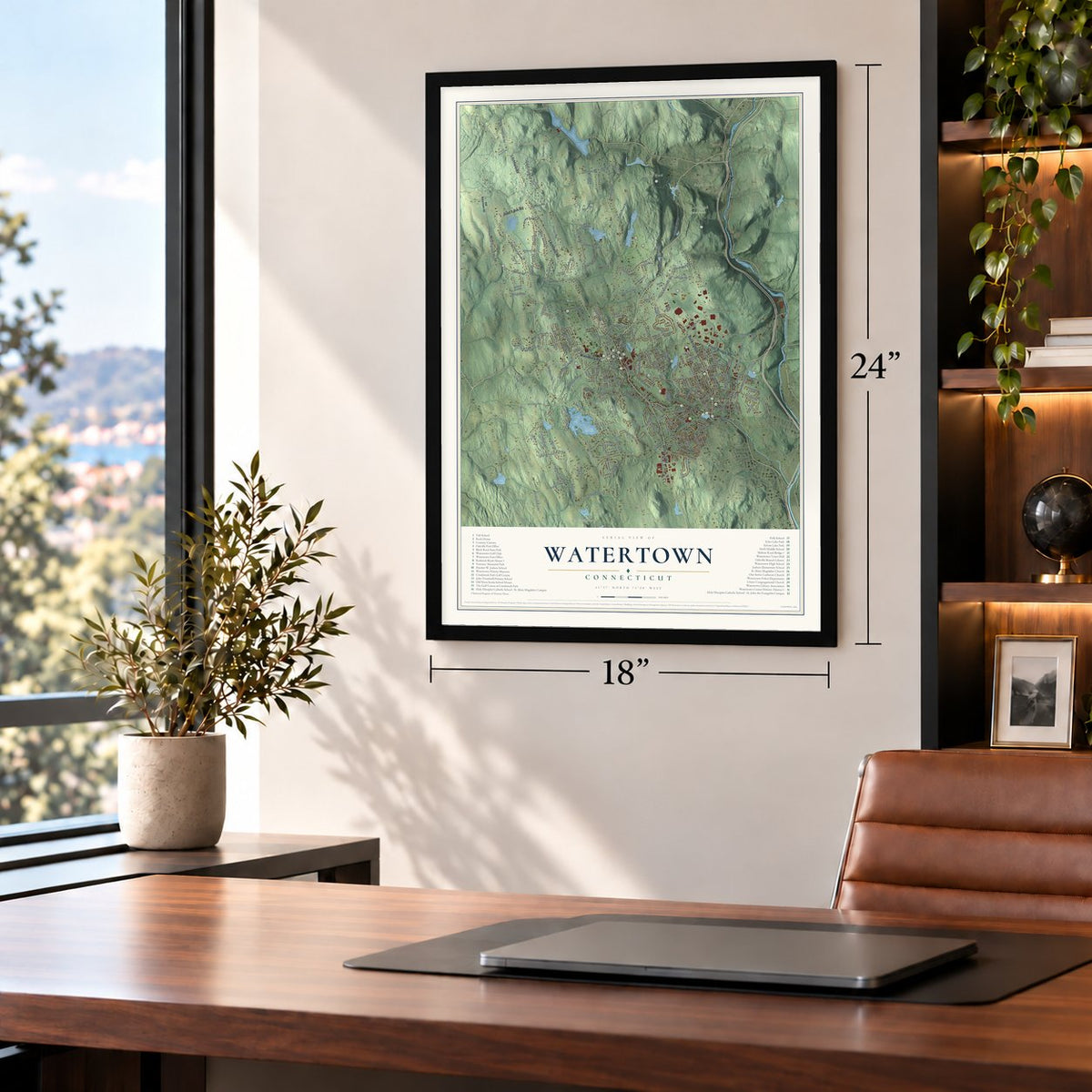
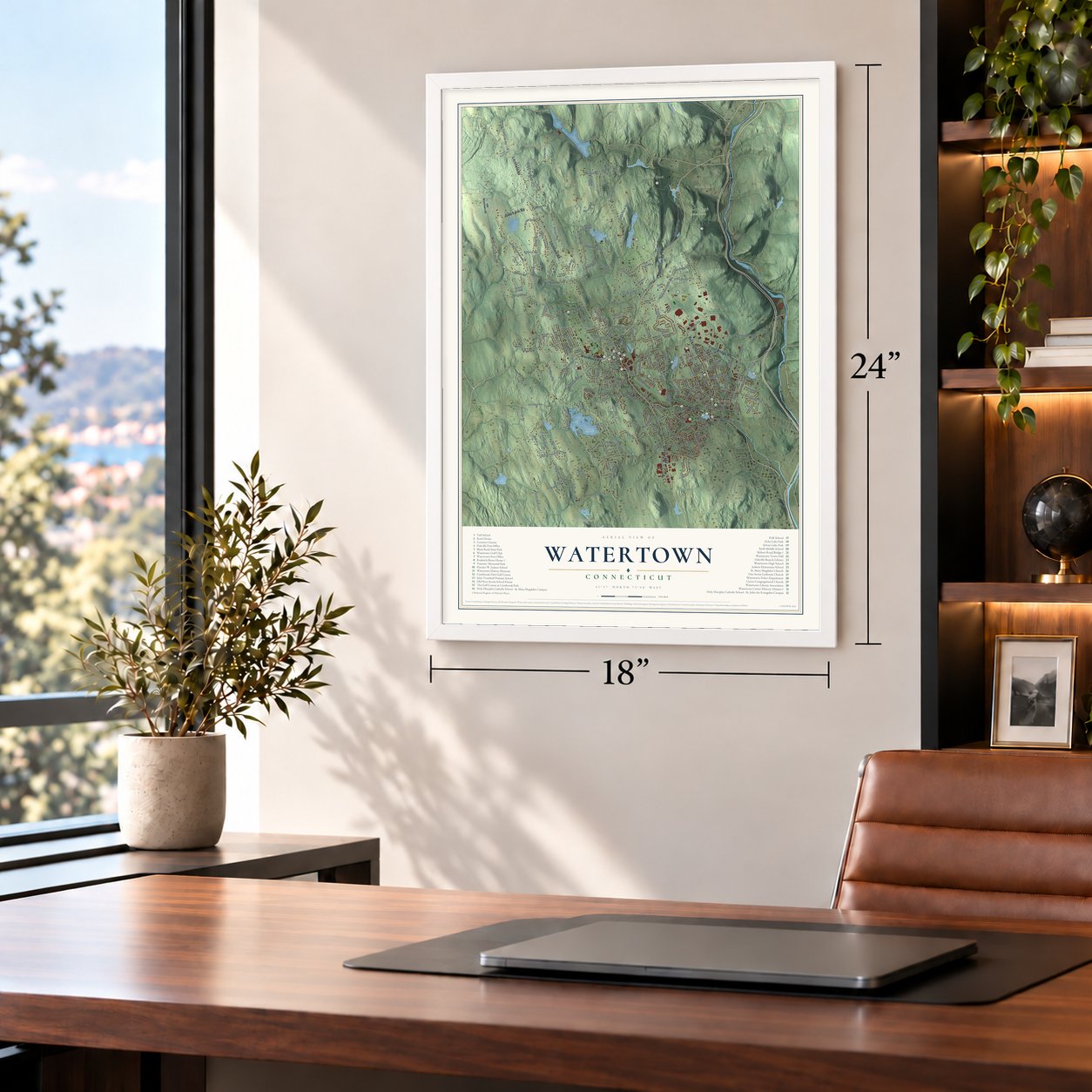
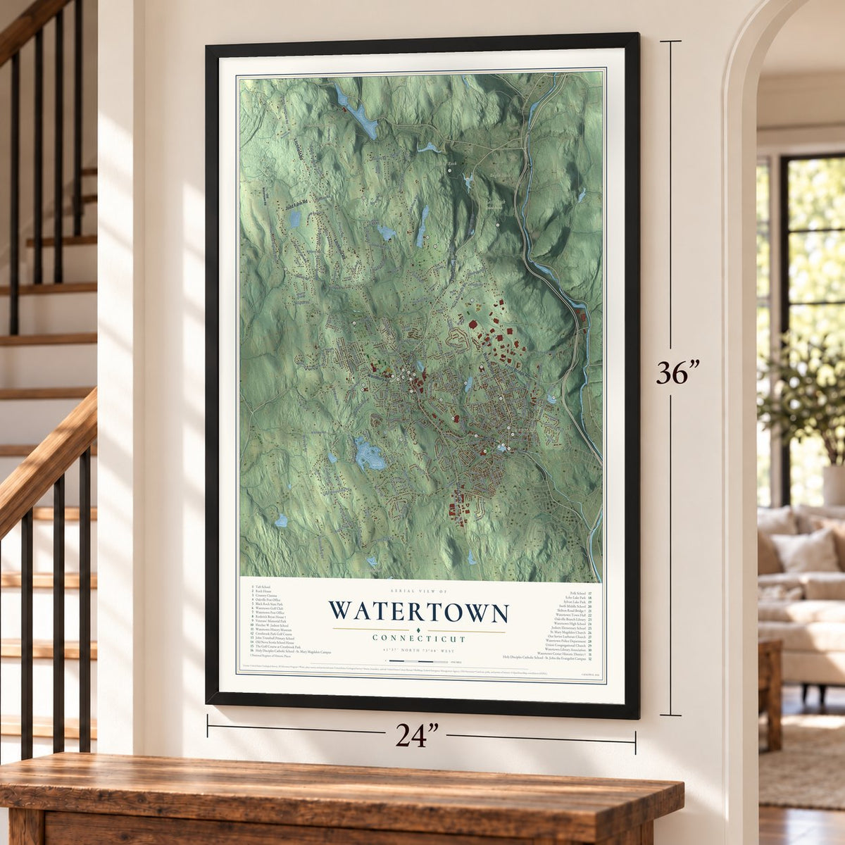
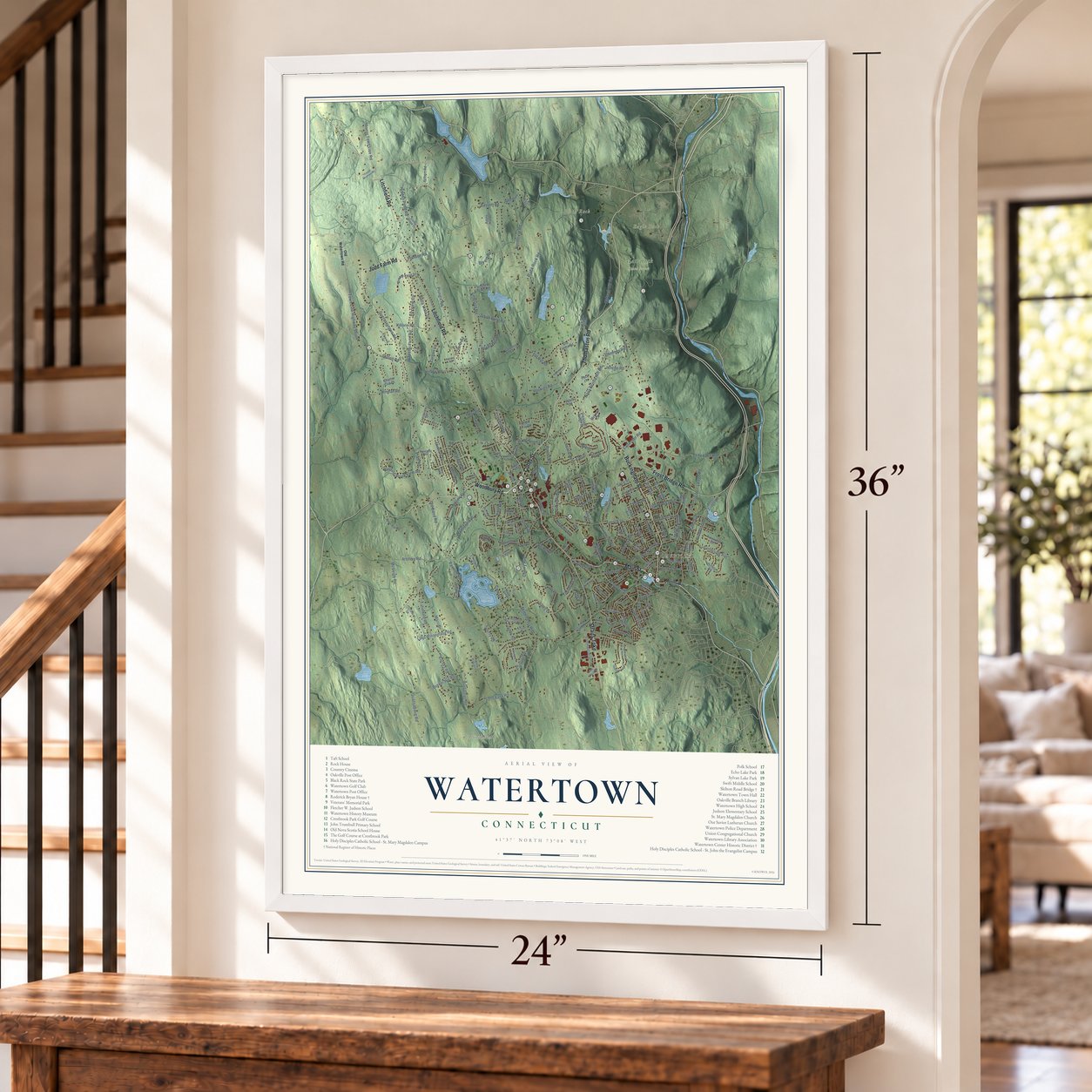
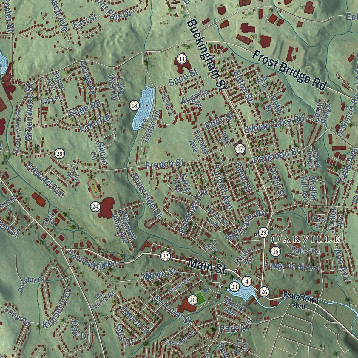
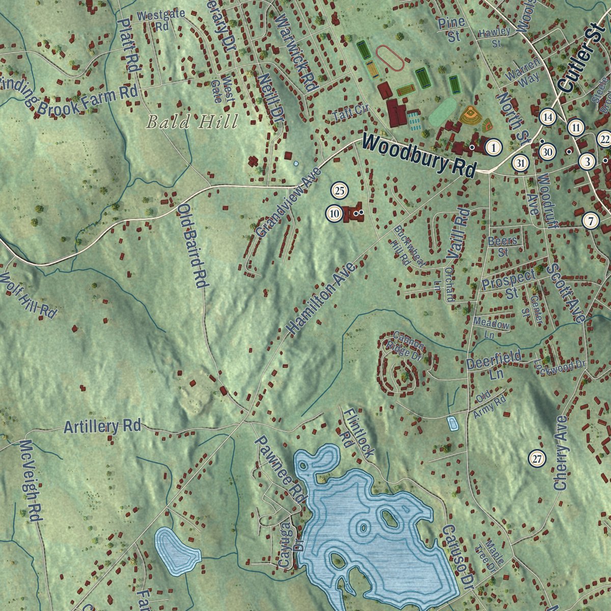
Explore Watertown, Connecticut from a whole new perspective. Created using aerial imagery and detailed geographic data, this map captures Watertown building by building, with labeled streets, familiar landmarks, and shaded topographical relief that highlights the natural contours of the landscape.
Combining modern data with the timeless character of a vintage atlas, this map is just as interesting up close as it is beautiful on the wall. Whether you grew up in Watertown, spent memorable years there, or call it home today, this unique map is a great way to celebrate a place that means something to you. Zoom in on the preview to look for your street, and then order a print to put your memories on the wall.

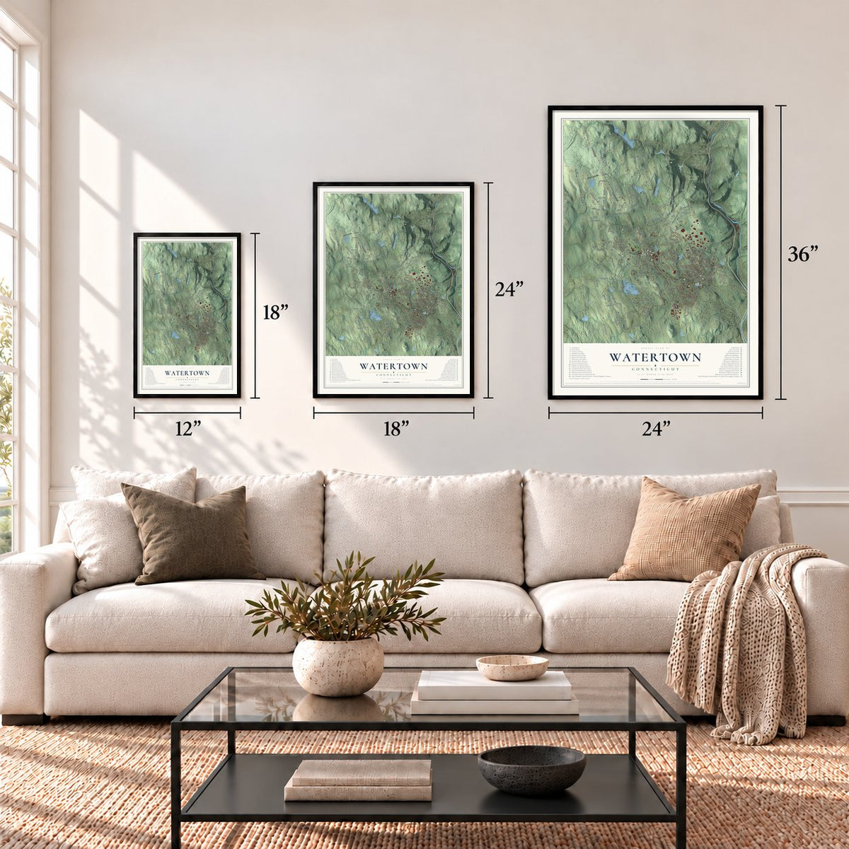
Three ways to hang it
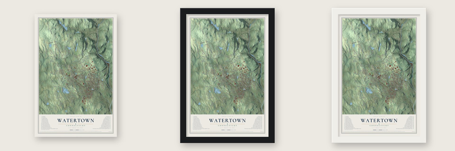
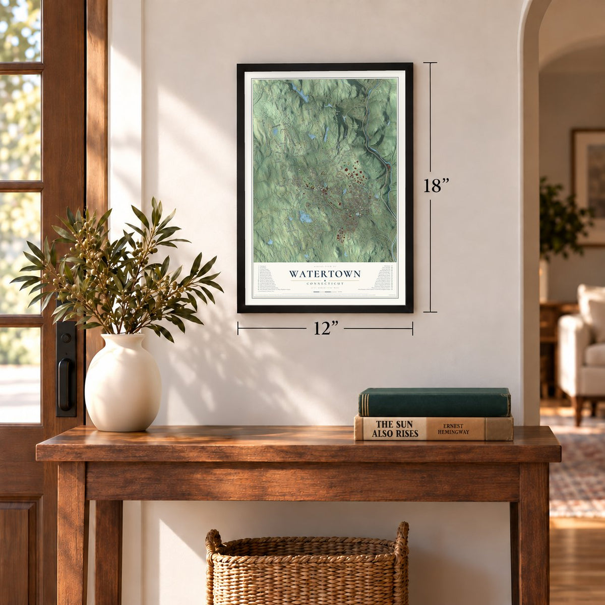
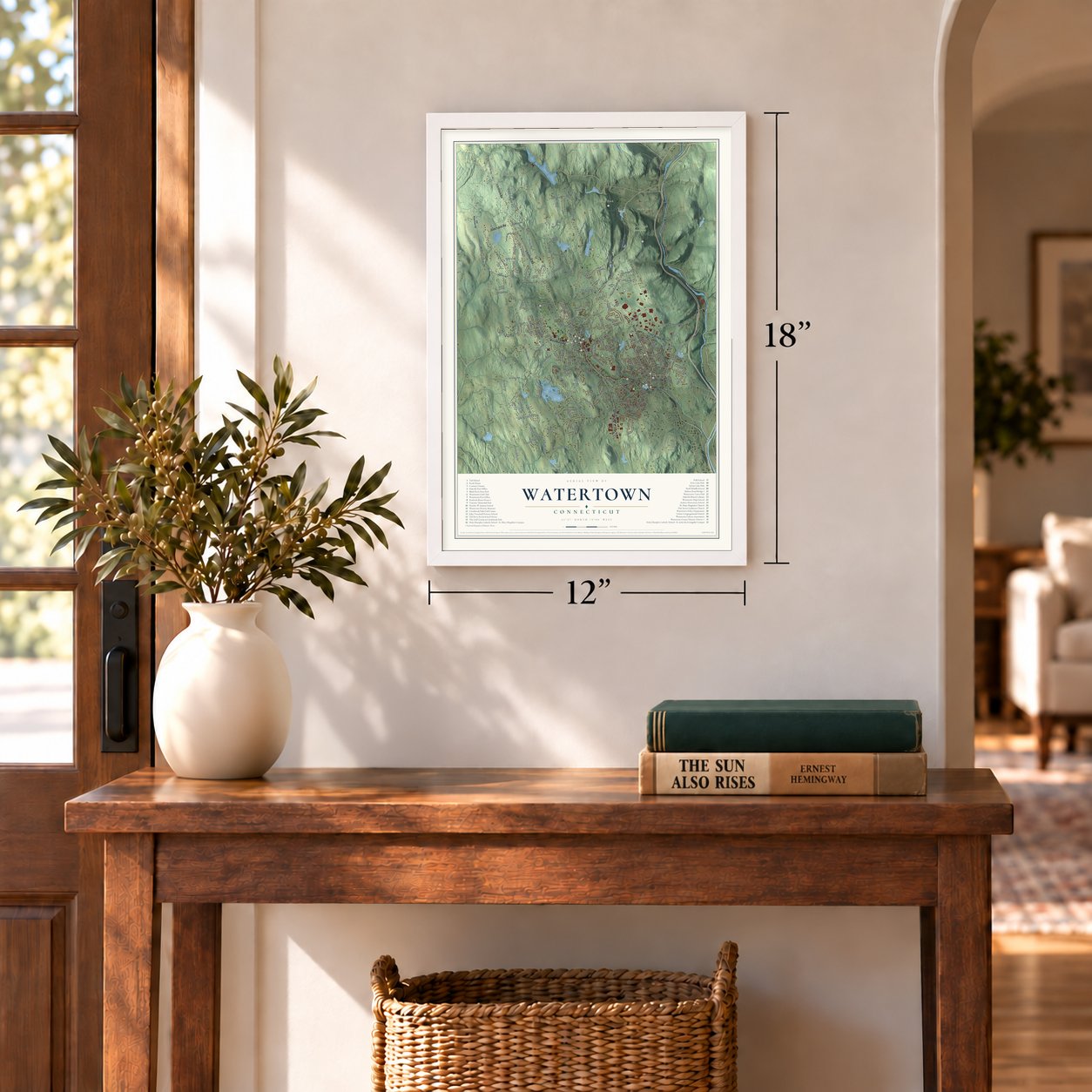
Unframed archival matte, a black wood frame or a white wood frame.
Up close
Geography Worth Displaying
This map was created using accurate cartographic data and authoritative geographic sources, including the U.S. Geological Survey (USGS) and FEMA. The map brings together terrain, waterways, roads, and building detail. The majority of the streets are labeled, houses are accurately depicted, and the topography is derived from government sources. Combining local data with carefully composed color and shading leads to this beautifully detailed Watertown artwork for your wall.
Rather than simply showing street outlines, we’ve included as many of the street names as we could reasonably fit on the map while keeping their names legible. Zoom in on the high resolution preview to see exactly what’s on the map. We truly set out to create a statement piece for anyone who loves Watertown. So whether it’s for you, or a gift for someone you love, we hope this map of Watertown brings back fond memories.
Explore the full map of Watertown, Connecticut and read about the local places it shows.
Find your street
Names on the Watertown map
Every name below is printed on this map. Look for your street, your school, the park where you played, or the pond down the road.
Places and landmarks8
- Downtown
- Oakville
- Bald Hill
- Black Rock
- Eagle Rock
- French Mountain
- Atwood Pond
- Mattatuck State Forest
Streets and roads209
- Thomaston Road
- Woodbury Road
- Cutler Street
- Main Street
- Litchfield Road
- Buckingham Street
- Frost Bridge Road
- Straits Turnpike
- Judd Farm Road
- Hamilton Avenue
- Middlebury Road
- Colonial Street
- Davis Street
- Town Line Highway South
- Aunt Olive Road
- Skilton Road
- Winding Brook Farm Road
- Hollow Road
- Fern Hill Road
- Caruso Drive
- Guernseytown Road
- Bunker Hill Road
- Echo Lake Road
- Northfield Road
- Bassett Road
- Linkfield Road
- French Street
- Lake Winnemaug Road
- Quassapaug Road
- Platt Road
Show all 209 streets
- Artillery Road
- Nova Scotia Hill Road
- Hinman Road
- Mount Fair Drive
- Sunnyside Avenue
- Bidwell Hill Road
- Cherry Avenue
- Sylvan Lake Road
- Franson Road
- Falls Avenue
- Smith Pond Road
- North Street
- Plungis Road
- Sand Bank Road
- Concord Drive
- Riverside Street
- Bryant Road
- Old Baird Road
- Kimberly Lane
- Neill Drive
- Killorin Road
- Oak Drive
- Lovley Drive
- Bayview Circle
- McVeigh Road
- Hidden Pond Road
- Farmdale Road
- Deer Run
- Barnes Road
- Old Colony Road
- Hillcrest Avenue
- Tarbell Avenue
- Black Rock Road
- Bella Vista Drive
- Beach Avenue
- Claxton Avenue
- Porter Street
- Chimney Road
- Jericho Road
- Warwick Road
- Morris Town Line Road
- Morro Street
- Honey Hill Road
- Wheeler Farm Road
- Parkman Street
- Belden Street
- West Road
- Ball Farm Road
- Hopkins Road
- Curtiss Lane
- Sperry Road
- Callender Road
- Greenwood Street
- Edge Road
- Ledge Road
- Lake Road
- Eaton Street
- Scott Avenue
- Franklin Avenue
- Pawnee Road
- Edward Avenue
- Merriam Lane
- Capewell Avenue
- Inverary Drive
- Depot Street
- Vaill Road
- Eddy Street
- Saco Street
- Ann Avenue
- Marc Drive
- Sills Drive
- Park Avenue
- Ice House Road
- Hilltop Road
- Gilbert Road
- Charter Oak Drive
- Tucker Avenue
- Grandview Avenue
- Old Farms Road
- Commercial Street
- Evelyn Street
- Falls Terrace
- Di Nunzio Road
- Loop Road
- Woodruff Avenue
- Prospect Street
- Breezy Knoll Drive
- Pineridge Drive
- Joshua Town Road
- Hungerford Avenue
- Radnor Lane
- Cayuga Drive
- Candee Hill Road
- McLean Circle
- Wolf Hill Road
- Cobb Street
- Hickory Lane
- Augusta Street
- Hard Rock Road
- Westview Drive
- Bamford Avenue
- East Street
- Adams Road
- Jason Avenue
- Pleasant View Avenue
- Apple Hill Drive
- Deerfield Lane
- Butternut Lane
- Woolson Street
- Orient Street
- Crestview Drive
- Melrose Avenue
- Maple Avenue
- Pleasant Ridge Drive
- Shelter Hill Avenue
- Flintlock Road
- Lake View Drive
- Peck Lane
- Fiume Street
- Turnor Avenue
- Earle Avenue
- Ellen Kay Drive
- Carola Drive
- Gilbert Lane
- White Street
- Cedar Ridge
- Pine Street
- Old Watertown Road
- Ledgewood Road
- Farview Circle
- Stoney Brook Lane
- Lexington Drive
- Westgate Road
- Hillside Avenue
- Fairview Avenue
- Daveluy Court
- Regency Hill Road
- Windy Ridge Lane
- New Wood Road
- Warren Way
- Farm Circle
- Branch Court
- Laurel Ridge
- Taft Circle
- Cliff Street
- Beers Street
- West Gate
- Watertown Avenue
- Georgetown Drive
- Cannon Ridge Drive
- Highmeadow Road
- Westbury Park Road
- Slade Street
- Davis Street Extended
- Steele Brook Road
- Charles Street
- Manila Street
- Cornwall Drive
- Orchard Lane
- Lancaster Street
- Lockwood Drive
- Buckwheat Hill Road
- French Mountain Road
- Mc Donnell Road
- Georgetown Drive East
- Trumbull Street
- Libson Street
- Mason Avenue
- Heath Street
- Center Street
- Hawley Street
- Old Army Road
- Elena Drive
- Meadow Lane
- Viola Street
- Trolane Road
- Maple Tree Drive
- Knight Street
- Henry Street
Names are listed as they appear on the printed map. Zoom into the product photos to find them.
About Watertown, Connecticut
Watertown began within Mattatuck, the settlement that became Waterbury. Its Westbury parish became an independent town in 1780. Streams supported small industries.
- A town since 1780Westbury separated from Waterbury and was incorporated under the Watertown name.
- 22,105 peopleCounted in the 2020 census.
- Sewing-machine beginningsNathaniel Wheeler and Allen Wilson launched the Wheeler & Wilson company here before moving it to Bridgeport in 1856.
- More than 100 buildingsThe Watertown Center Historic District preserves architecture around the green laid out in 1772.
- Black Rock State ParkCitizens donated its first 254 acres in 1926, and the Civilian Conservation Corps developed it during the 1930s.
Keep exploring Connecticut
Watertown is one of 382 Connecticut towns we've mapped. Every dot on the map is a print of its own.
The search covers every state, Connecticut first.
Near Watertown
Order 2 or more town maps and save 10%. Shown in the size and finish you picked above, so they hang as a set.
- Oakville 12" x 18" / Archival Matte Print $39.99
- Thomaston 12" x 18" / Archival Matte Print $39.99
- Bethlehem Village 12" x 18" / Archival Matte Print $39.99

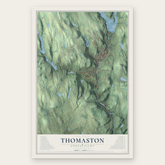

More maps nearby: Bethlehem, Hillside, Plymouth, Waterbury and Woodbury.
The art of mapping a place
How This Map Was Made
Real places. Remarkable detail. Discover the layers that turn geographic data into a map of home.

The view from above
Aerial imagery reveals the character of the land: woodland, open fields, and the patterns of a place.

The shape of the land
Elevation data brings hills, valleys, and subtle changes in the landscape into view.

The details of home
Roads, waterways, and building footprints come together to make the map feel unmistakably local.

Geography becomes art
Considered color, shading, and typography bring the layers together in a map made for your wall.


Process illustrated with Mendon, Massachusetts. Aerial imagery: USDA NAIP. Terrain: USGS 3D Elevation Program. Map details and finished artwork: KNOWOL.
The Details
About This Print
Choose an archival matte print, or a black or white Ayous wood frame. The archival matte print is unframed.
Select your size and finish above to see the matching product image and price.
Materials & Craftsmanship
A contemporary map with the character of a classic atlas, printed on archival matte paper. Optional frames are made from Ayous wood.
Your printed map does not include the watermark shown in the full-map preview.
Shipping & Delivery
Free shipping within the United States. Every print is made to order in the USA.
Buying a gift? Add a note in your cart and we'll include it. We never put prices in the package.
Prints ship within 2 to 3 business days. Allow 7 to 10 days total from ordering for delivery. Timing may vary during holidays or periods of high order volume.
Read our shipping policy.
Returns and damaged prints
Each print is made to order. Change-of-mind refunds are not available after production.
If your print arrives damaged, misprinted or incorrect, contact support@knowol.com within 30 days of receiving it. Include your order number, photos and a description of the issue.
Read our full refund and replacement policy. For questions about your order, email support@knowol.com.