
Search for another town





Free U.S. delivery 7 to 10 days after you order
Hendersonville, Tennessee Map Art
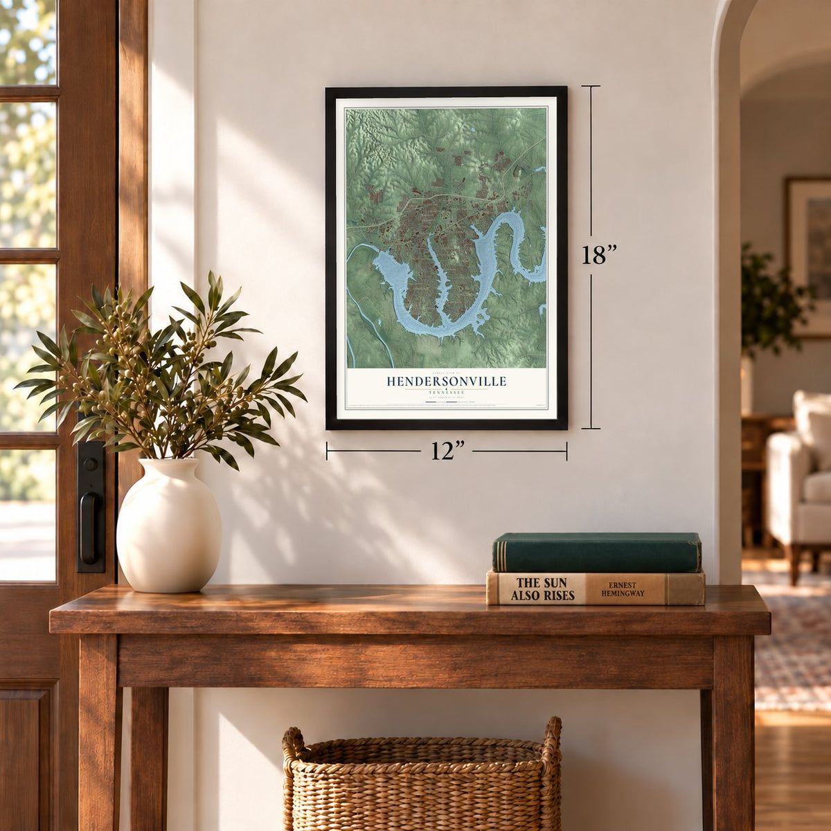
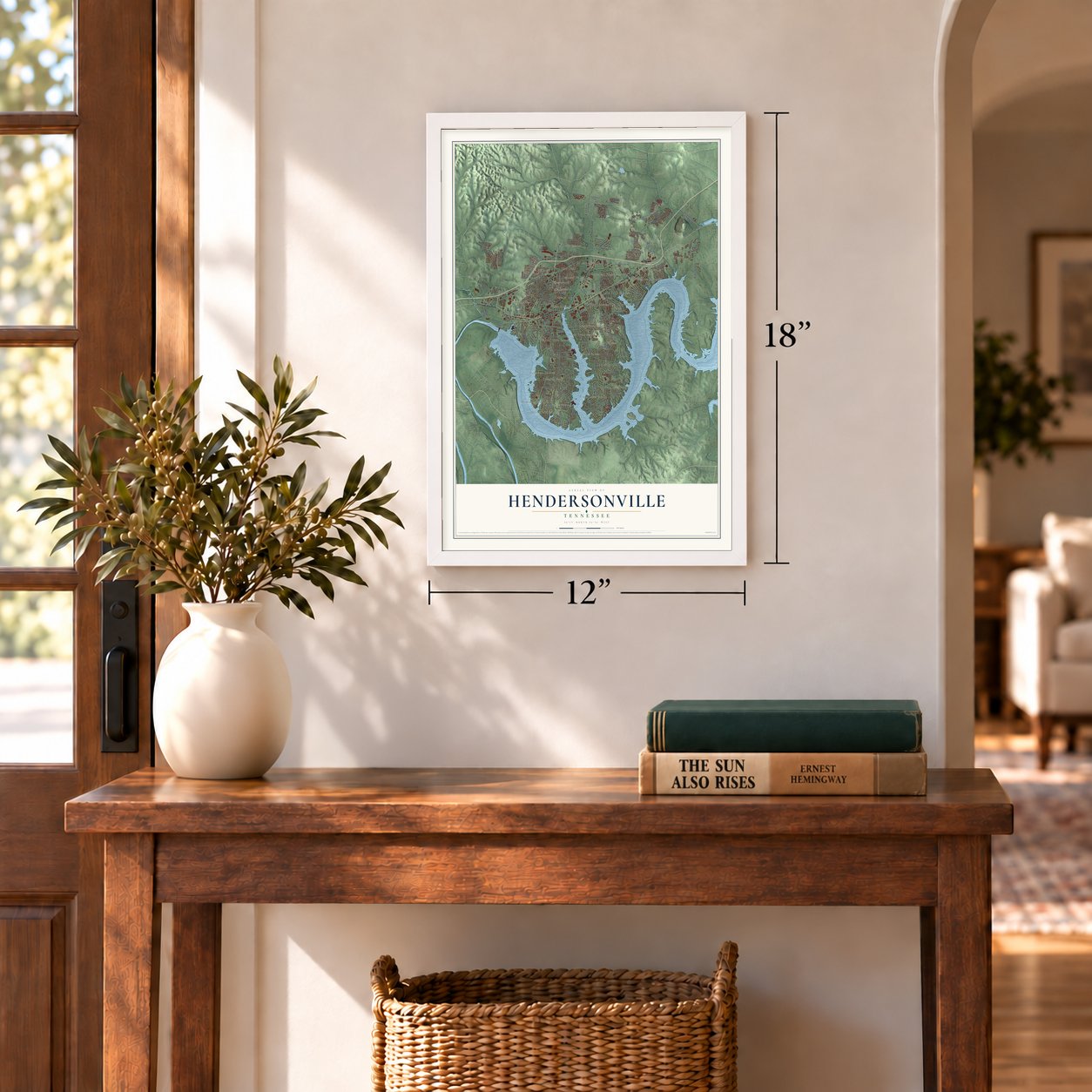
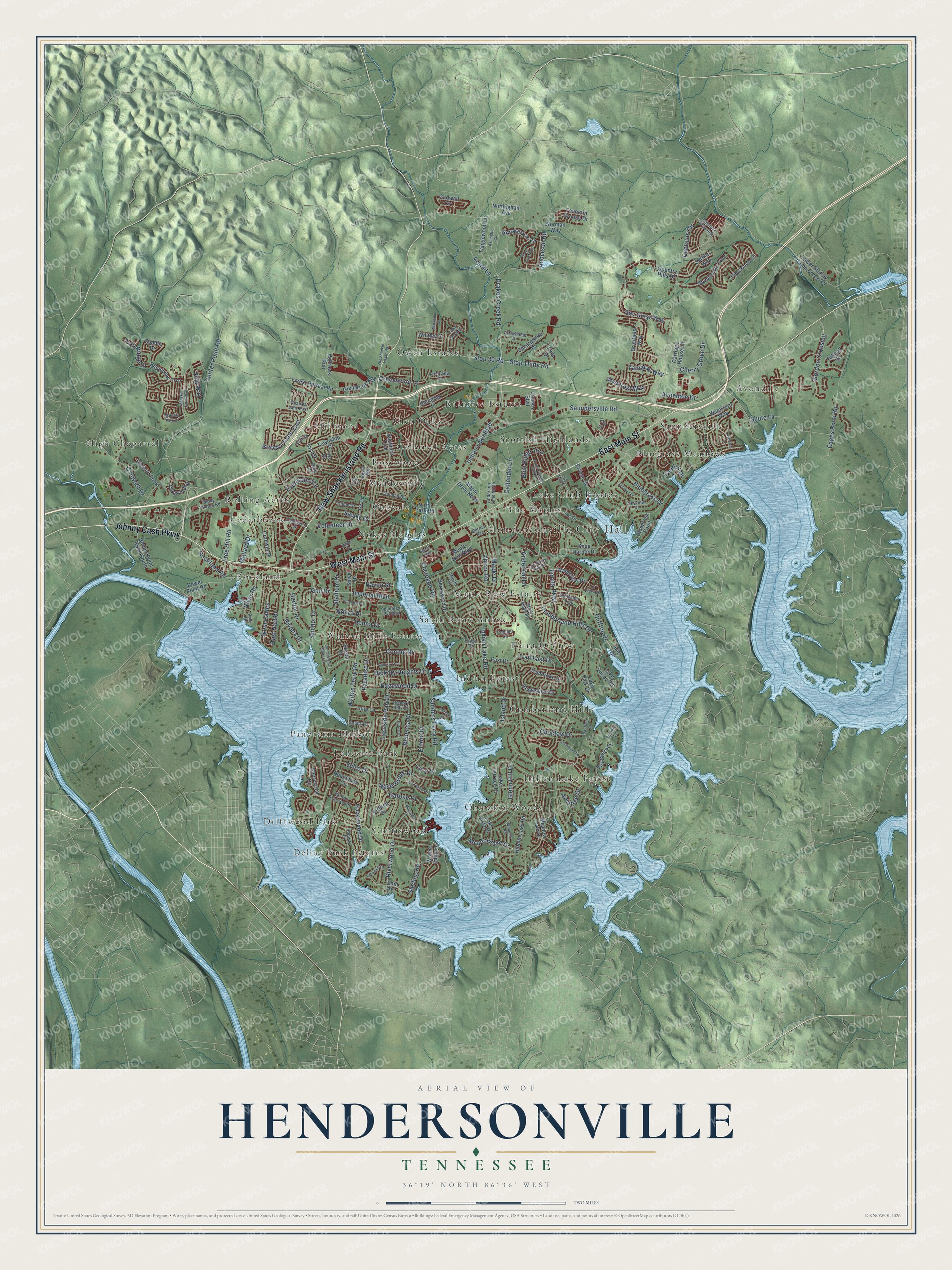
A new map of Hendersonville, Tennessee, made in 2026 and printed to order on thick archival matte paper.
12" x 18" Archival Matte Print
A Map of Home. A Work of Art.
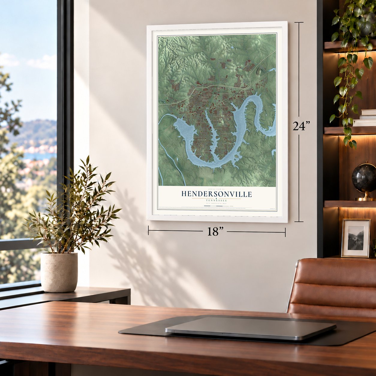
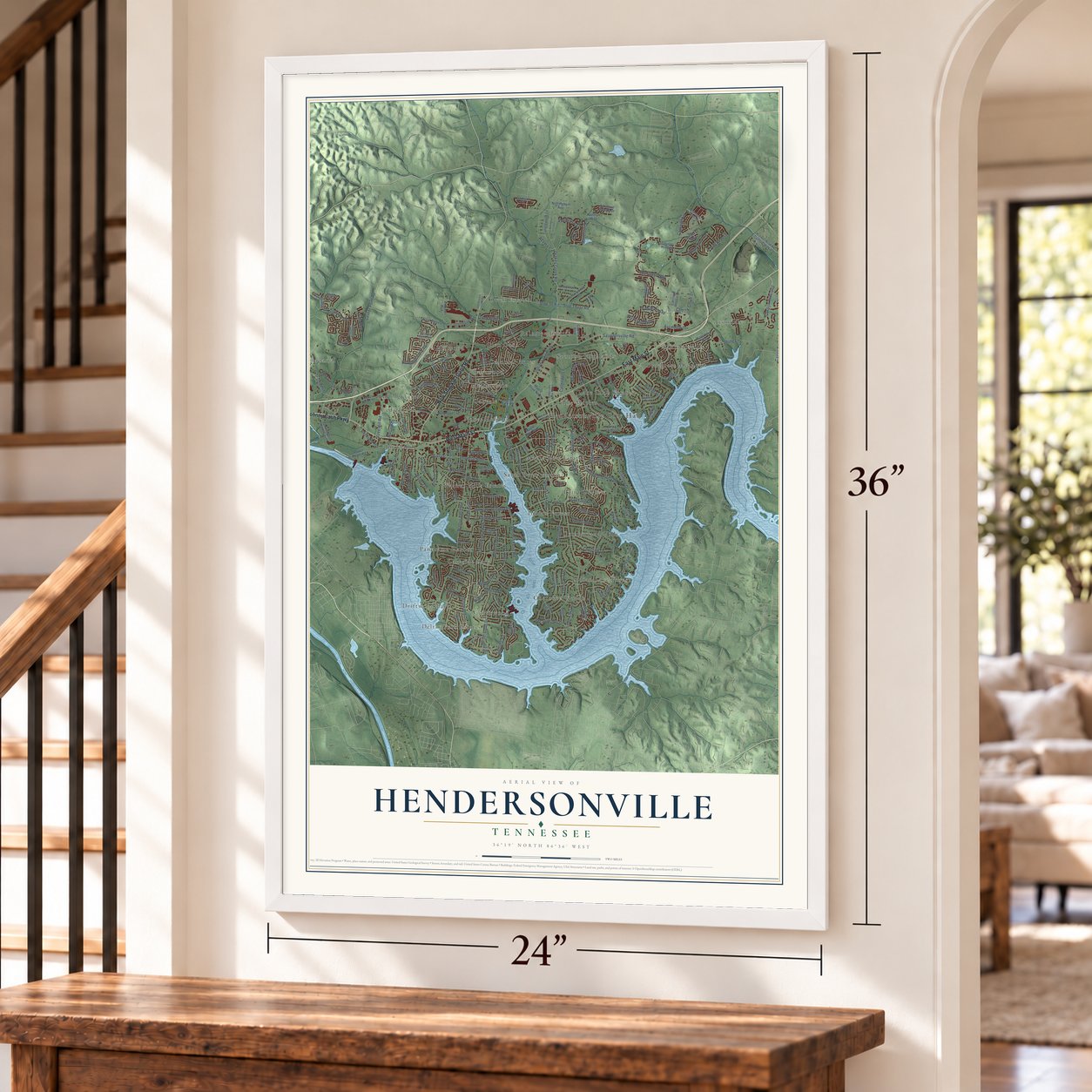
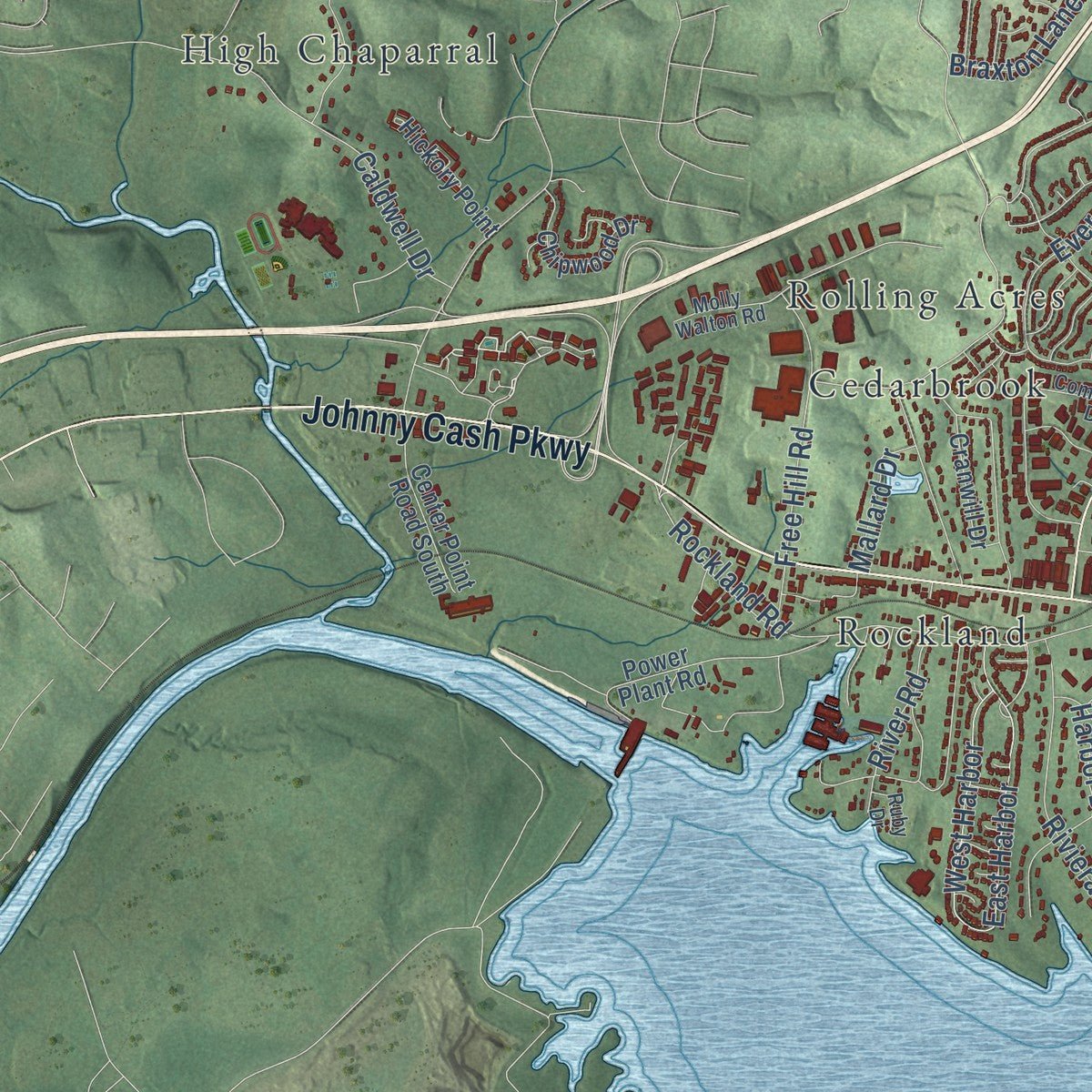
Explore Hendersonville, Tennessee from a whole new perspective. Created using aerial imagery and detailed geographic data, this map captures Hendersonville building by building, with labeled streets, familiar landmarks, and shaded topographical relief that highlights the natural contours of the landscape.
Combining modern data with the timeless character of a vintage atlas, this map is just as interesting up close as it is beautiful on the wall. Whether you grew up in Hendersonville, spent memorable years there, or call it home today, this unique map is a great way to celebrate a place that means something to you. Zoom in on the preview to look for your street, and then order a print to put your memories on the wall.
Three ways to hang it
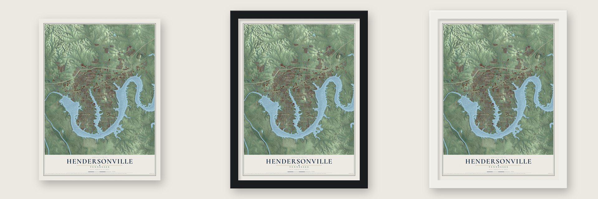
Unframed archival matte, a black wood frame or a white wood frame.
Up close
Geography Worth Displaying
This map was created using accurate cartographic data and authoritative geographic sources, including the U.S. Geological Survey and the Census Bureau. The map brings together terrain, waterways, roads, and building detail. The majority of the streets are labeled, houses are accurately depicted, and the topography is derived from government sources. Combining local data with carefully composed color and shading leads to this beautifully detailed Hendersonville artwork for your wall.
Rather than simply showing street outlines, we’ve included as many of the street names as we could reasonably fit on the map while keeping their names legible. Zoom in on the high resolution preview to see exactly what’s on the map. We truly set out to create a statement piece for anyone who loves Hendersonville. So whether it’s for you, or a gift for someone you love, we hope this map of Hendersonville brings back fond memories.
Read the story behind this map of Hendersonville, Tennessee from 2026.
About Hendersonville, Tennessee
Hendersonville is a city of 61,753 people in Sumner County, on the shore of Old Hickory Lake northeast of Nashville. In 1784 North Carolina, which then claimed the land west of the Appalachians, paid Daniel Smith for his survey of Middle Tennessee with a land grant here. Smith began building a stone house, but his surveying kept him away on long trips, so his wife oversaw much of the work. The house, later called Rock Castle, was finished in 1796.
William Henderson settled in the county in 1790 and became the first postmaster, and the town carries his name. It grew as a trading center for farms that raised tobacco, hemp, horses and cattle, and it stayed rural for generations. Old Hickory Dam and its lake were finished in 1954, and the water drew sportsmen and people looking for recreation, some of whom bought homes or second homes here. Hendersonville did not incorporate until 1969, when its population was about 250, and L.H. "Dink" Newman became its leader.
- A camp for freedom seekersUnion troops occupied Middle Tennessee from 1862 to 1870. Even before the Emancipation Proclamation of January 1863, enslaved families escaped to the Union lines, and the Army set up a contraband camp near Hendersonville. It gave them shelter, food and supplies and hired them for wages, often to build defenses, while missionary societies taught both adults and children.
- A country music townThe lake, the nearness of Nashville and a growing tourist trade made Hendersonville the largest city in Sumner County, with 32,000 residents in 1990, and a stop for country music fans. Both Johnny Cash and Conway Twitty ran country music museums in town.
Find your street
Names on the Hendersonville map
Every name below is printed on this map. Look for your street, your school, the park where you played, or the pond down the road.
Places and landmarks33
- Hendersonville City Hall
- Avondale
- Bluegrass Meadows
- Cedarbrook
- Cherokee Woods
- Colonial Acres
- Cumberland Hills
- Curtiswood
- Delray Park Estates
- Driftwood Park
- Glen Oaks
- High Chaparral
Show all 33 places
- Hillwood
- Indian Forest
- Indian Lake Forest
- Lake Club Estates
- Lakeside Park
- Maple Row Estates
- Meadowvale
- Nokes Heights
- Oakvale
- Owen Estates
- Panorama Harbor
- Point O'View
- Raintree Estates
- Rockland
- Rolling Acres
- Rosewood
- Sarah Berry Annex
- Saundersville
- Scottish Highlands
- The Maples
- Walnut Hills Estates
Streets and roads195
- East Main Street
- West Main Street
- New Shackle Island Road
- Johnny Cash Parkway
- Sanders Ferry Road
- Bonita Parkway
- Drakes Creek Road
- Imperial Boulevard
- Stop Thirty Road
- Saundersville Road
- Indian Lake Road
- Indian Lake Boulevard
- Walton Ferry Road
- Stop 30 Road
- Cumberland Hills Drive
- Center Point Road
- Lakeside Park Drive
- Cages Bend Road
- Cherokee Road
- Bluegrass Drive
- Raintree Drive
- Savely Drive
- Rockland Road
- Rebecca Drive
- Spy Glass Way
- Gatone Drive
- Island Drive
- Caudill Drive
- Anderson Road
- Iris Drive
Show all 195 streets
- Evergreen Circle
- Connie Drive
- Glenn Hill Drive
- Maple Drive
- Callender Lane
- Anderson Lane
- Volunteer Drive
- Paradise Drive
- Riverwood Drive
- Shute Lane
- Harbor Drive
- Nokes Drive
- Meadowlake Drive
- Vulco Drive
- East Harbor
- Sterling Road
- Donna Drive
- Free Hill Road
- Elnora Drive
- Blue Ridge Trce
- Hickory Heights Drive
- Edgewood Drive
- Neverbreak Drive
- Avant Lane
- Riviera Drive
- Cherry Grove Drive
- Choctaw Drive
- Caldwell Drive
- Gordon Crossing
- Braxton Lane East
- Trail East Drive
- Hazelwood Drive
- Creekwood Lane
- Wyncrest Way
- Avondale Drive
- Stadium Drive
- West Harbor
- Chiroc Road
- Anchor Drive
- Smokerise Lane
- Clifftop Drive
- Gail Drive
- River Road
- Trail Ridge Drive
- Tamaras Way
- Captains Circle
- Mallard Drive
- Villa Way
- Haven Street
- Maple Drive North
- Forest Retreat Road
- Lake Terrace Drive
- Meadow Lake Drive
- Hidden Lake Road
- Lower Station Camp Creek Road
- Wynbrooke Trce
- Berrywood Drive
- Township Drive
- Luna Lane
- Cranwill Drive
- Power Plant Road
- Gadwall Circle
- Bay Shore Drive
- Raindrop Lane
- East Drive
- Lake Valley Road
- Waterview Drive
- Robinhood Circle
- Settlers Way
- North Park Road
- Hedgelawn Drive
- Shivel Drive
- Carriage House Lane
- Waterford Way
- Brierfield Way
- Glenbrook Way
- Maple Row Boulevard
- Nottingham Avenue
- Tanglewood Lane
- Waters Edge Lane
- Center Point Road South
- Southern Trce
- Fountain Brooke Drive
- Shorecrest Circle
- Chipwood Drive
- Ridgeview Trce
- Andrews Run
- Spearpointe Drive
- Whitley Place
- Hickory Point
- Brittan Street
- Inlet Drive
- Lake Vista Drive
- Pembroke Drive
- Pilot Knob Lane
- Lake Park Drive
- Snug Harbor Drive
- Tattnall Court
- Susan Drive
- Country Hills Drive
- Norman Way
- Causey Boulevard
- Ivy Drive
- Airfloat Drive
- Sain Avenue
- Bluegrass Point
- Saddle Drive
- Labar Drive
- Leota Drive
- Flint Drive
- Iris Court
- Roberta Drive
- Anderson Lane North
- Bay Drive
- Commerce Drive
- Molly Walton Road
- Cannons Crossing
- La Plaza Drive
- Stillwater Trail
- Walton Trce South
- Colonial Drive
- Spadeleaf Pvt Boulevard
- Cobbler Circle
- Victoria Lane East
- Hickory Hill Drive
- Skyview Drive
- Arrowhead Drive
- Stark Knob Road
- Hickory Hills Drive
- Holly Drive
- La View Drive
- Dillon Drive
- Crestview Drive
- Ridge Drive
- Martin Drive
- Burrus Avenue
- Ryan Drive
- Summit Lane
- Ingrid Way
- Ruby Drive
- Hull Lane
- Old Shackle Island Road
- Mansker Farm Boulevard
- Mansker Park Drive
- Cumberland Shores Drive
- Avery Trace Circle
- Tyne Bay Drive
- Ashington Circle
- Bayshore Drive
- North Country Club Drive
- Thornwood Place
- Walnut Trce
- Marseille Drive
- Cross Creek Lane
- Plumlee Drive
- Audubon Lane
- Lakeview Drive
- Jackson Lane
- Maple Street
- Millbrook Road
- Marshall Street
- Walnut Drive
- Gatire Drive
- Hazel Path
- Golf Court
Names are listed as they appear on the printed map. Zoom into the product photos to find them.
The art of mapping a place
How This Map Was Made
Real places. Remarkable detail. Discover the layers that turn geographic data into a map of home.

The view from above
Aerial imagery reveals the character of the land: woodland, open fields, and the patterns of a place.

The shape of the land
Elevation data brings hills, valleys, and subtle changes in the landscape into view.

The details of home
Roads, waterways, and building footprints come together to make the map feel unmistakably local.

Geography becomes art
Considered color, shading, and typography bring the layers together in a map made for your wall.


Process illustrated with Mendon, Massachusetts. Aerial imagery: USDA NAIP. Terrain: USGS 3D Elevation Program. Map details and finished artwork: KNOWOL.
The Details
About This Print
Choose an archival matte print, or a black or white Ayous wood frame. The archival matte print is unframed.
Select your size and finish above to see the matching product image and price.
Materials & Craftsmanship
A contemporary map with the character of a classic atlas, printed on archival matte paper. Optional frames are made from Ayous wood.
Your printed map does not include the watermark shown in the full-map preview.
Shipping & Delivery
Free shipping within the United States. Every print is made to order in the USA.
Buying a gift? Add a note in your cart and we'll include it. We never put prices in the package.
Prints ship within 2 to 3 business days. Allow 7 to 10 days total from ordering for delivery. Timing may vary during holidays or periods of high order volume.
Read our shipping policy.
Returns and damaged prints
Each print is made to order. Change-of-mind refunds are not available after production.
If your print arrives damaged, misprinted or incorrect, contact support@knowol.com within 30 days of receiving it. Include your order number, photos and a description of the issue.
Read our full refund and replacement policy. For questions about your order, email support@knowol.com.
Find your town
Looking for another city?
Find a map of home in our Tennessee collection, or any town in the country.
Nearby
Maps of towns near Hendersonville
Know someone from one of these towns? Their map makes a great gift.
 Shackle Island
, Tennessee
From $39.99See the map
 Green Hill
, Tennessee
From $39.99See the map
 Goodlettsville
, Tennessee
From $39.99See the map
More maps nearby: Millersville, Mount Juliet, Gallatin, Cottontown and Ridgetop.