
Search for another town




Free U.S. delivery 7 to 10 days after you order
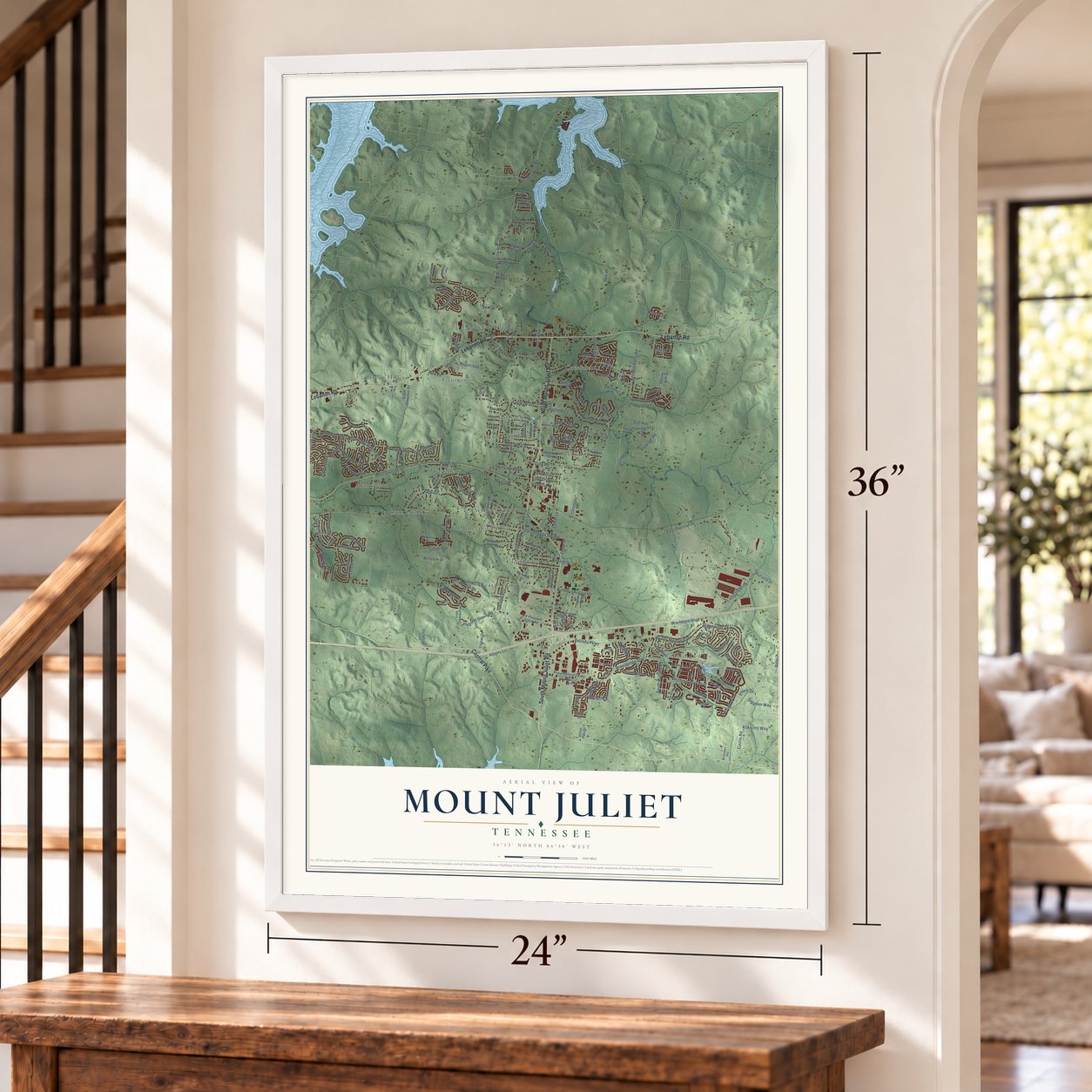
Mount Juliet, Tennessee Map Art
A new map of Mount Juliet, Tennessee, made in 2026 and printed to order on thick archival matte paper.
12" x 18" Archival Matte Print
A Map of Home. A Work of Art.
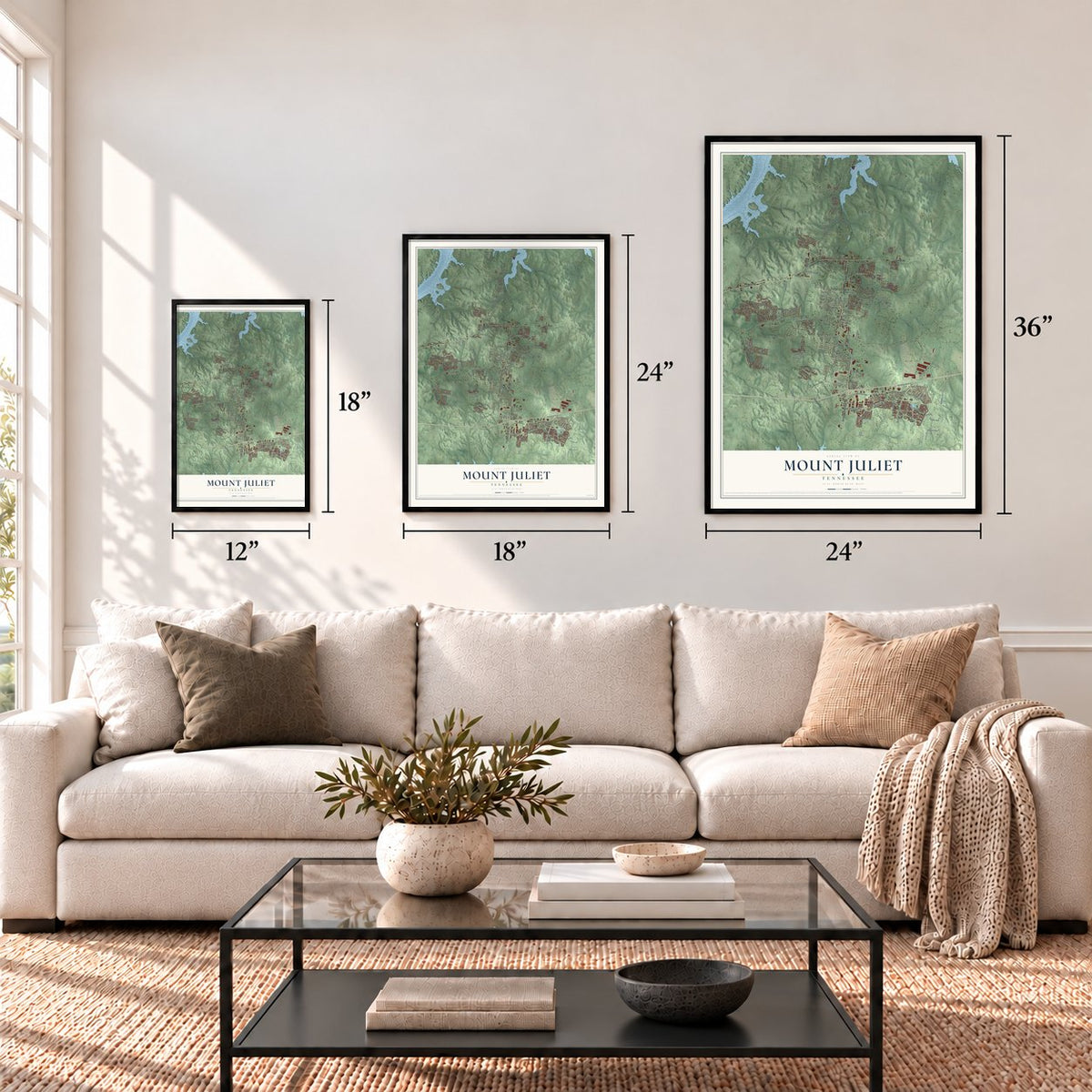
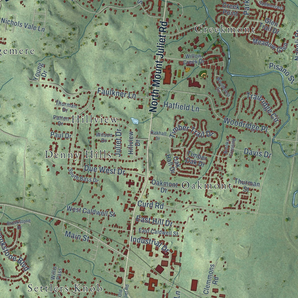
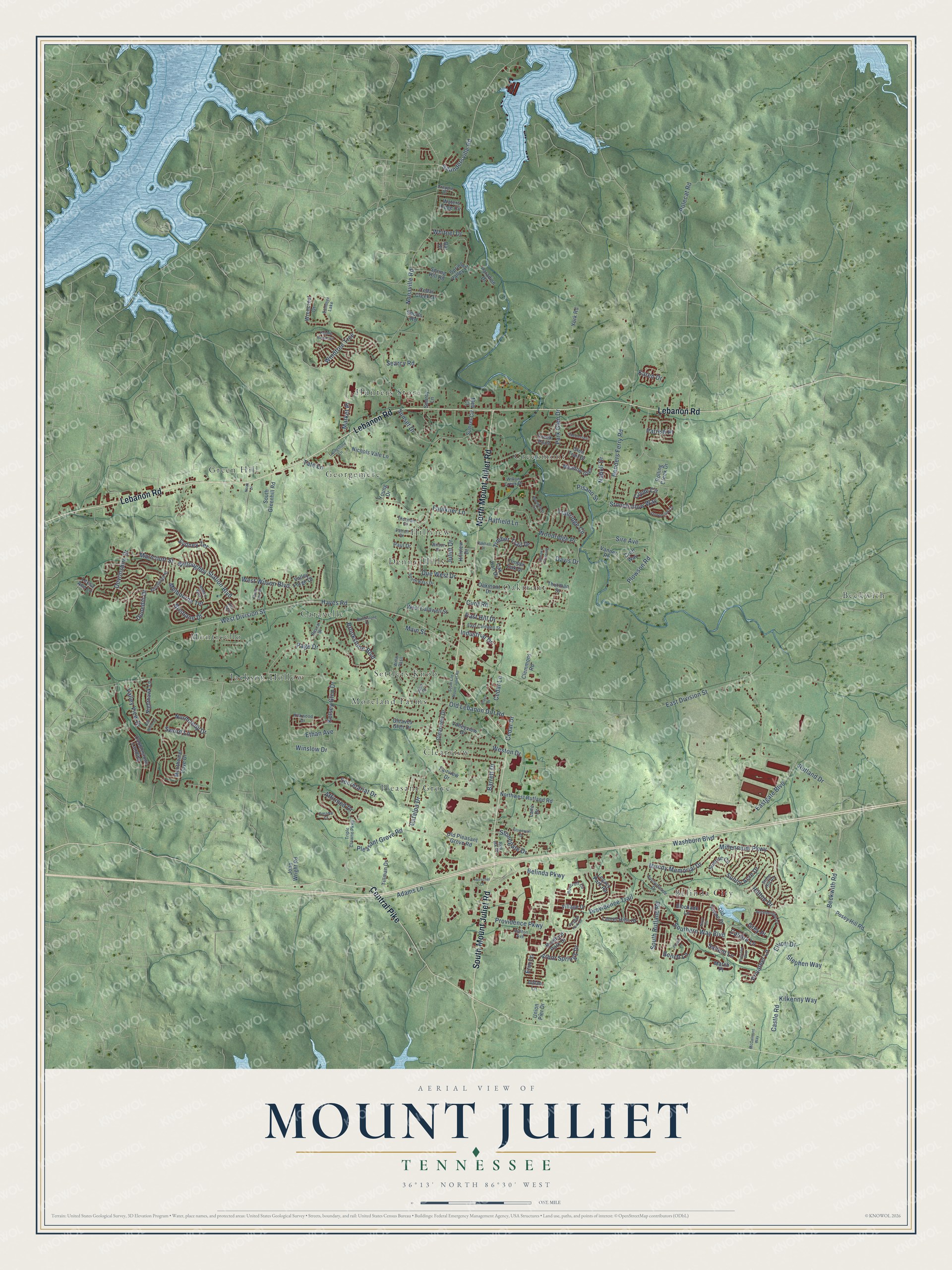
Explore Mount Juliet, Tennessee from a whole new perspective. Created using aerial imagery and detailed geographic data, this map captures Mount Juliet building by building, with labeled streets, familiar landmarks, and shaded topographical relief that highlights the natural contours of the landscape.
Combining modern data with the timeless character of a vintage atlas, this map is just as interesting up close as it is beautiful on the wall. Whether you grew up in Mount Juliet, spent memorable years there, or call it home today, this unique map is a great way to celebrate a place that means something to you. Zoom in on the preview to look for your street, and then order a print to put your memories on the wall.
Three ways to hang it
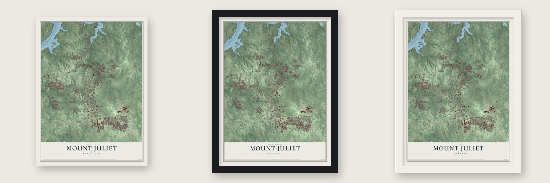
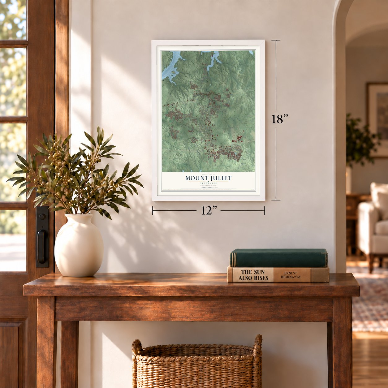
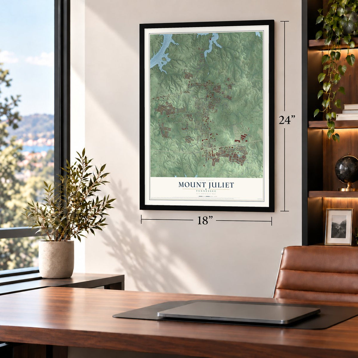
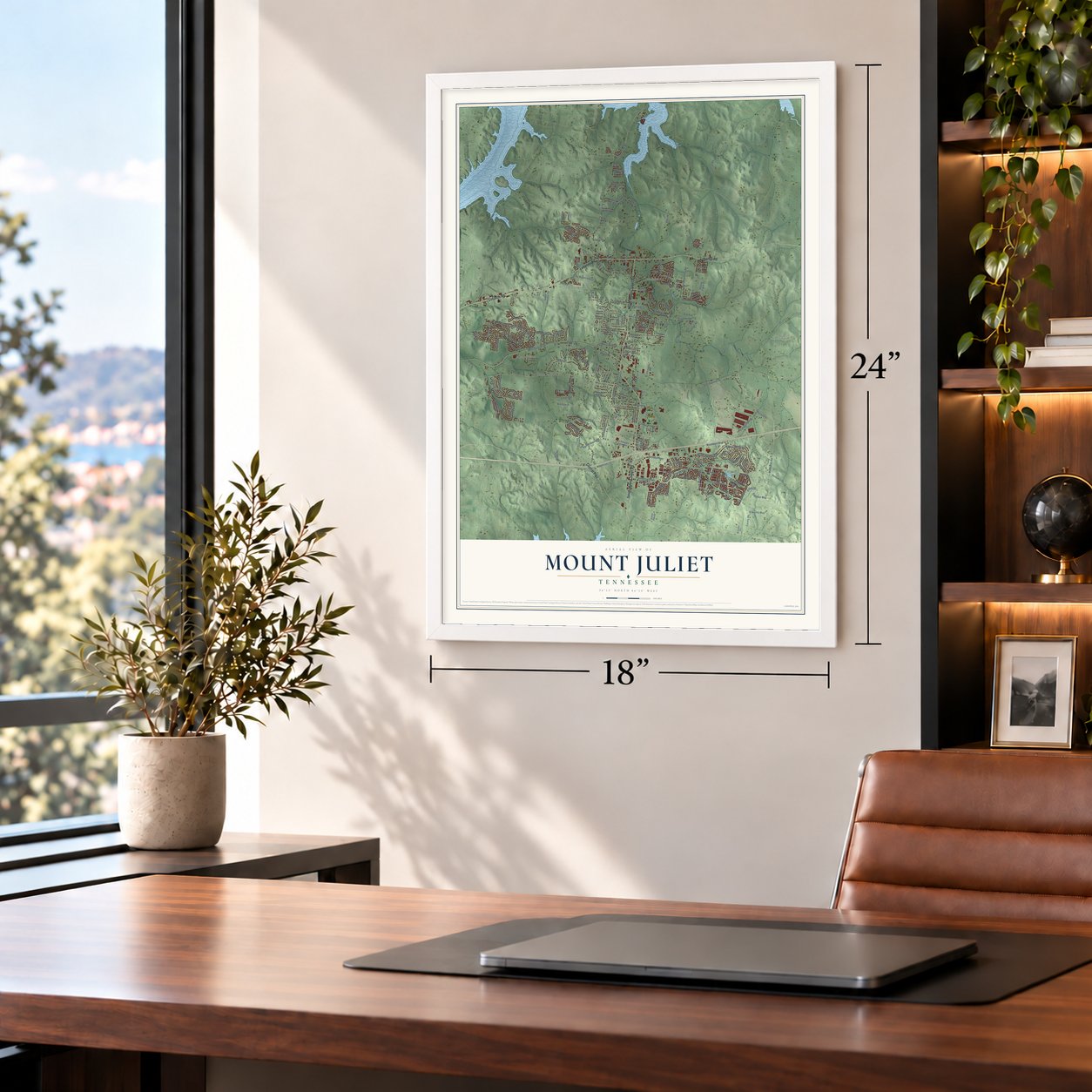
Unframed archival matte, a black wood frame or a white wood frame.
Up close
Geography Worth Displaying
This map was created using accurate cartographic data and authoritative geographic sources, including the U.S. Geological Survey and the Census Bureau. The map brings together terrain, waterways, roads, and building detail. The majority of the streets are labeled, houses are accurately depicted, and the topography is derived from government sources. Combining local data with carefully composed color and shading leads to this beautifully detailed Mount Juliet artwork for your wall.
Rather than simply showing street outlines, we’ve included as many of the street names as we could reasonably fit on the map while keeping their names legible. Zoom in on the high resolution preview to see exactly what’s on the map. We truly set out to create a statement piece for anyone who loves Mount Juliet. So whether it’s for you, or a gift for someone you love, we hope this map of Mount Juliet brings back fond memories.
Read the story behind this map of Mount Juliet, Tennessee from 2026.

About Mount Juliet, Tennessee
Mount Juliet is a city of 39,289 people in Wilson County, about 17 miles east of downtown Nashville, and it is the largest city in the county. The town was first established in 1835 on the road between Lebanon and Nashville. The usual story is that it was named for the Mount Juliet Estate, an Irish manor house in County Kilkenny, and no other city in the country shares the name.
In 1870 a station on the Tennessee & Pacific Railway was set up on the land of Newton Cloyd, fourteen miles west of Lebanon, and the town grew around it. Mount Juliet remained unincorporated for more than a century, until it became a city in 1972. Its charter spells the name Mt. Juliet, while the Postal Service uses Mount Juliet.
- A chartered academyThe old county history ranked Mount Juliet Academy, a chartered school, among the best in Wilson County. It was one of two academies in the First District, along with the one at nearby Green Hill.
- The tornado of March 3, 2020Before dawn on March 3, 2020, an EF3 tornado swept through Mount Juliet. Hundreds of homes were wrecked, and so were two schools, West Wilson Middle and Stoner Creek Elementary. The storm killed five people, three of them in Mount Juliet.
- Charlie DanielsMusician Charlie Daniels is one of many performers connected to Mount Juliet, and a city park on the northwest side carries his name.
Find your street
Names on the Mount Juliet map
Every name below is printed on this map. Look for your street, your school, the park where you played, or the pond down the road.
Places and landmarks17
- Beckwith
- Belinda City
- Caravelle
- Clearview
- Creekmont
- Denny Hills
- Georgemere
- Green Hill
- Hillview
- Hunters Store
- Jackson Hollow
- Monticello
Show all 17 places
- Moreland Farms
- Oakmont
- Pleasant Grove
- Settlers Knob
- Summer Lake
Streets and roads185
- Lebanon Road
- North Mount Juliet Road
- Central Pike
- South Mount Juliet Road
- West Division Street
- Hayes Road
- West Wilson Boulevard
- Saundersville Road
- Willoughby Station Boulevard
- Washburn Boulevard
- Belinda Parkway
- Old Lebanon Dirt Road
- Curd Road
- East Division Street
- South Rutland Road
- Nonaville Road
- Beckwith Road
- Pleasant Grove Road
- Benders Ferry Road
- Millennium Parkway
- Rutland Drive
- Valley View Drive
- Providence Trail
- Sydney Terrace
- Page Drive
- Secretariat Drive
- Sunset Drive
- Melbourne Terrace
- Woodridge Place
- Adams Lane
Show all 185 streets
- Faulkner Lane
- Devonshire Drive
- Plowson Road
- Providence Parkway
- Mundy Memorial Drive
- Catalpa Drive
- Windtree Trce
- Due West Drive
- Eastgate Boulevard
- Southern Way Boulevard
- Sunny Acre Drive
- Polecat Road
- Trailridge Circle
- Dunedin Drive
- Salient Lane
- Brookstone Boulevard
- Stonegate Drive
- Maricourt Street
- Arbor Springs Drive
- Weston Drive
- Industrial Drive
- Main Street
- Market Place
- Napoli Drive
- Winslow Drive
- Tate Lane
- East Hill Drive
- Erin Lane
- Normandy Drive
- Castle Road
- Sire Avenue
- Stonehollow Way
- Park Glen Drive
- Calibre Lane
- Parrish Place
- Pisano Street
- Juliet Drive
- Brisbane Drive
- Privateer Lane
- Timber Trail Drive
- Hatfield Lane
- Bench Lane
- Ethan Avenue
- Kilkenny Way
- Kelsey Glen Drive
- Cedar Lane
- Stephen Way
- Affirmed Drive
- Elliott Drive
- Whitnel Drive
- Clyde Circle
- Davis Drive
- Barrett Drive
- Searcy Road
- Grey Place
- Hilltop Drive
- Sword Lane
- Karen Drive
- Cedar Drive
- South Greenhill Road
- Hillview Drive
- Clearview Drive
- Cobblestone Landing
- Monthemer Cove Drive
- Old Towne Drive
- Fairview Drive
- West Caldwell Street
- Old Pleasant Grove Road
- Spring Valley Drive
- Croft Way
- Vanner Road
- Bradford Park Drive
- Legacy Park Road
- Oak Hall Drive
- Northwest Rutland Road
- Nichols Vale Lane
- Valleyview Drive
- Posey Hill Road
- John Wright Road
- Rolling Creek Drive
- Waters Edge Circle
- Sunrise Circle
- Blockade Lane
- Aidan Lane
- Laurel Hills Drive
- Clemmons Road
- Spring Hill Road
- Timber Oak Drive
- York Road
- Tillman Drive
- Meadow Glen
- Paradise Drive
- Cedar Creek Drive
- Nighthawk Lane
- Gleaves Glen Drive
- Glen Trail Drive
- Wrencrest Drive
- Oakmont Drive
- Valley Forge Drive
- Creek Point
- Village Drive
- Sunset Circle
- Thurman Street
- Union Pier Drive
- Searcy Lane
- March Place
- Lane Drive
- Paul Drive
- Sports Road
- Leesa Ann Lane
- Young Drive
- Meb Court
- Bar Drive
- Antebellum Lane
- Edinburgh Street
- Boxcroft Circle
- Stone Hill Road
- Triple Crowne Parkway
- Pascal Drive
- East Caldwell Street
- Sunnymeade Drive
- Willis Pass
- South Bass Drive
- Julie Drive
- Kirkwood Drive
- Hobart Way
- Crappie Drive
- Thurman Drive
- Ashton Avenue
- Wilson Drive
- Willow Creek Drive
- Patton Drive
- Omaha Court
- Red Ink Drive
- Pebble Beach Circle
- Brookstone Drive
- Navy Circle
- Brooks Crossing
- Foster Lane
- Stonebrook Circle
- Oakhall Drive
- Alex Way
- South Old Mount Juliet Road
- Woodcrest Circle
- Regent Park Drive
- Patriotic Way
- Saddlecrest
- Livingstone Lane
- Stonewall Drive
- Sheila Ann Drive
- McCalmont Way
- Herschel Drive
- Bob White Lane
- Plaza Drive
- Noak Drive
Names are listed as they appear on the printed map. Zoom into the product photos to find them.
The art of mapping a place
How This Map Was Made
Real places. Remarkable detail. Discover the layers that turn geographic data into a map of home.

The view from above
Aerial imagery reveals the character of the land: woodland, open fields, and the patterns of a place.

The shape of the land
Elevation data brings hills, valleys, and subtle changes in the landscape into view.

The details of home
Roads, waterways, and building footprints come together to make the map feel unmistakably local.

Geography becomes art
Considered color, shading, and typography bring the layers together in a map made for your wall.


Process illustrated with Mendon, Massachusetts. Aerial imagery: USDA NAIP. Terrain: USGS 3D Elevation Program. Map details and finished artwork: KNOWOL.
The Details
About This Print
Choose an archival matte print, or a black or white Ayous wood frame. The archival matte print is unframed.
Select your size and finish above to see the matching product image and price.
Materials & Craftsmanship
A contemporary map with the character of a classic atlas, printed on archival matte paper. Optional frames are made from Ayous wood.
Your printed map does not include the watermark shown in the full-map preview.
Shipping & Delivery
Free shipping within the United States. Every print is made to order in the USA.
Buying a gift? Add a note in your cart and we'll include it. We never put prices in the package.
Prints ship within 2 to 3 business days. Allow 7 to 10 days total from ordering for delivery. Timing may vary during holidays or periods of high order volume.
Read our shipping policy.
Returns and damaged prints
Each print is made to order. Change-of-mind refunds are not available after production.
If your print arrives damaged, misprinted or incorrect, contact support@knowol.com within 30 days of receiving it. Include your order number, photos and a description of the issue.
Read our full refund and replacement policy. For questions about your order, email support@knowol.com.
Find your town
Looking for another city?
Find a map of home in our Tennessee collection, or any town in the country.
Nearby
Maps of towns near Mount Juliet
Know someone from one of these towns? Their map makes a great gift.
 Green Hill
, Tennessee
From $39.99See the map
 Rural Hill
, Tennessee
From $39.99See the map
 Gladeville
, Tennessee
From $39.99See the map
More maps nearby: Hendersonville, Lebanon, La Vergne, Gallatin and Shackle Island.