
Search for another town



Free U.S. delivery 7 to 10 days after you order
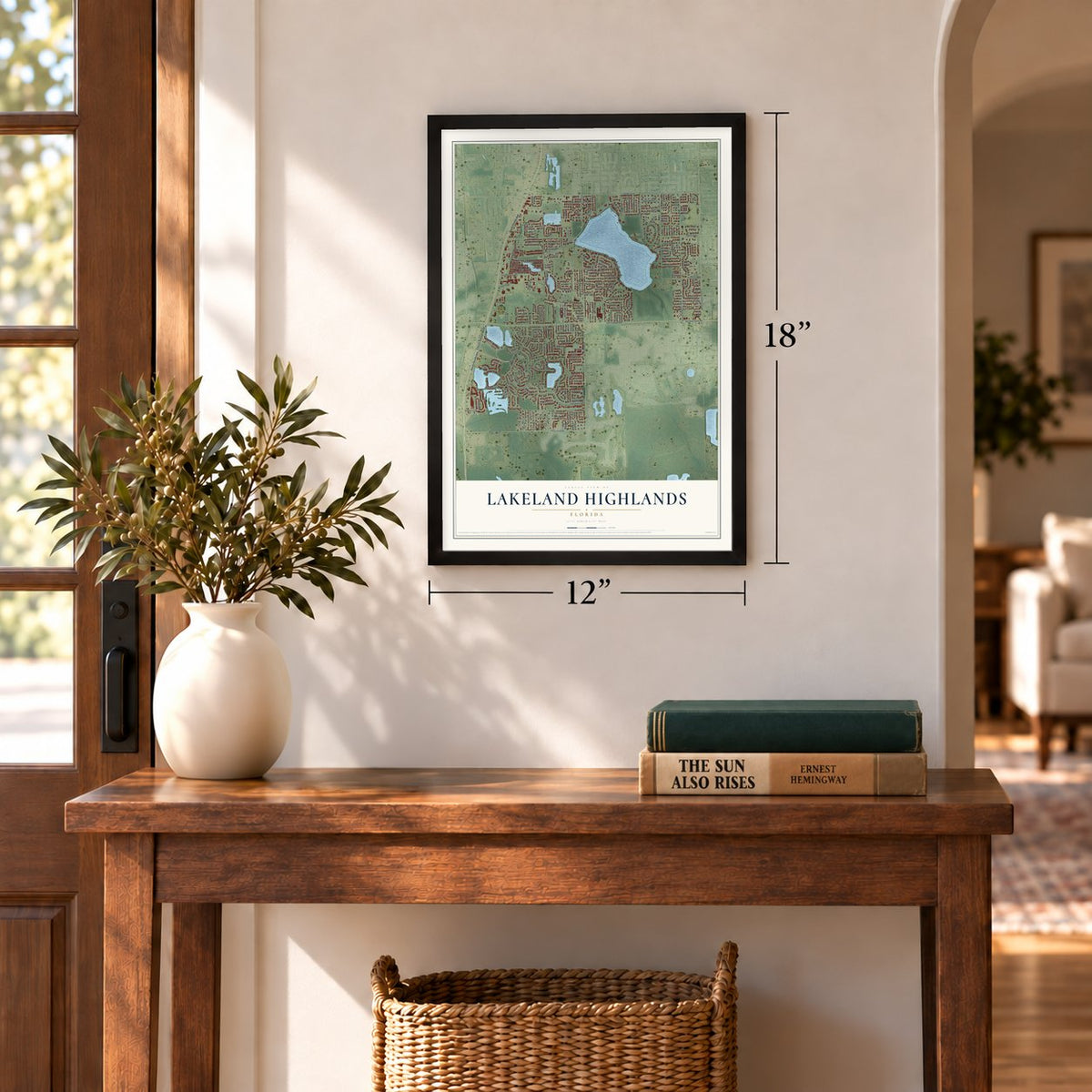
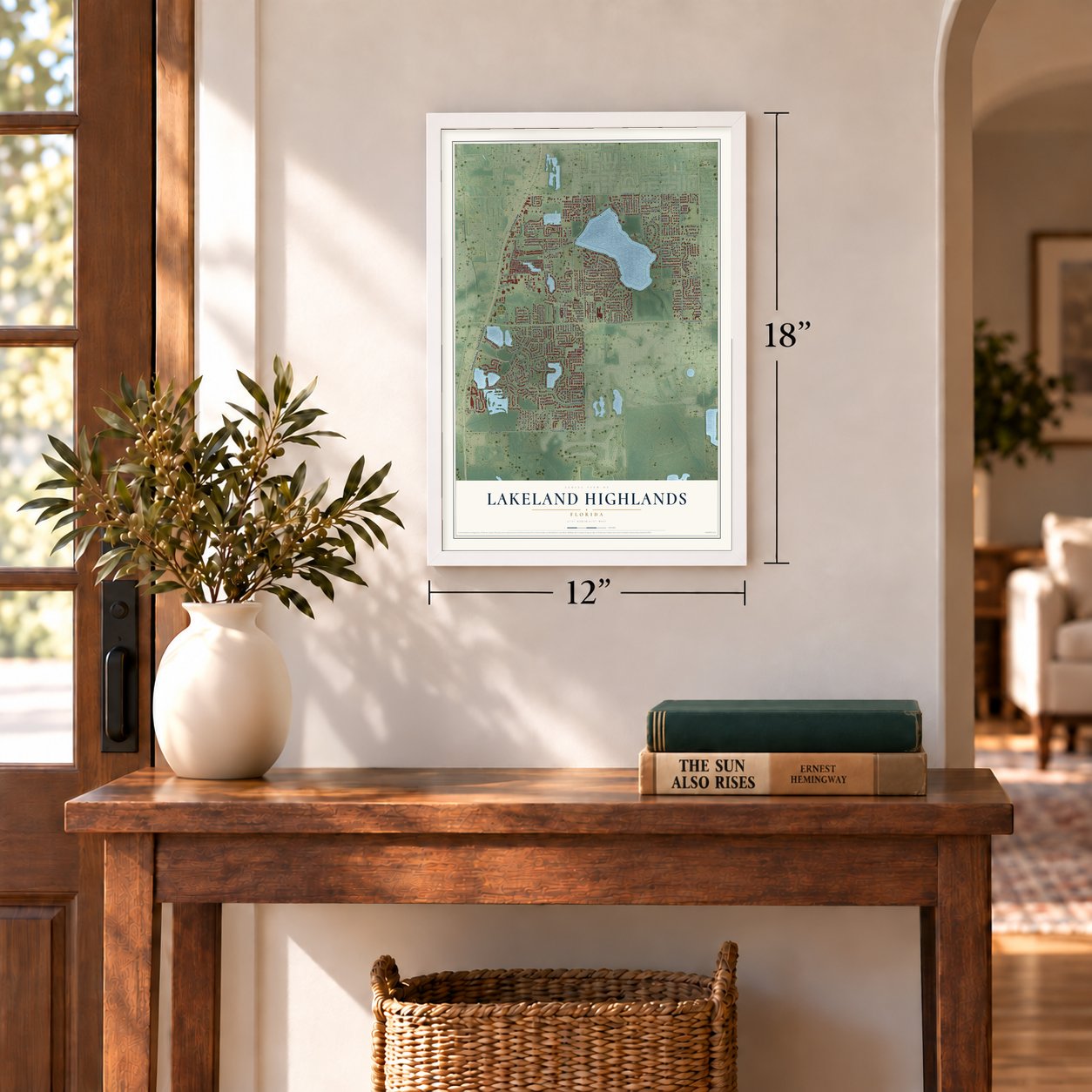
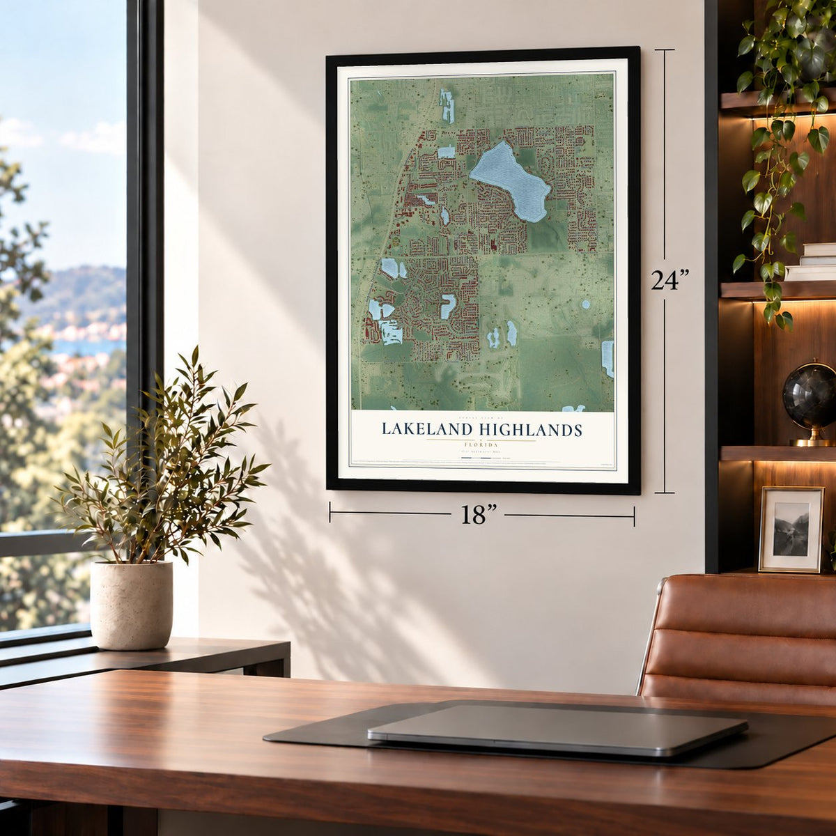
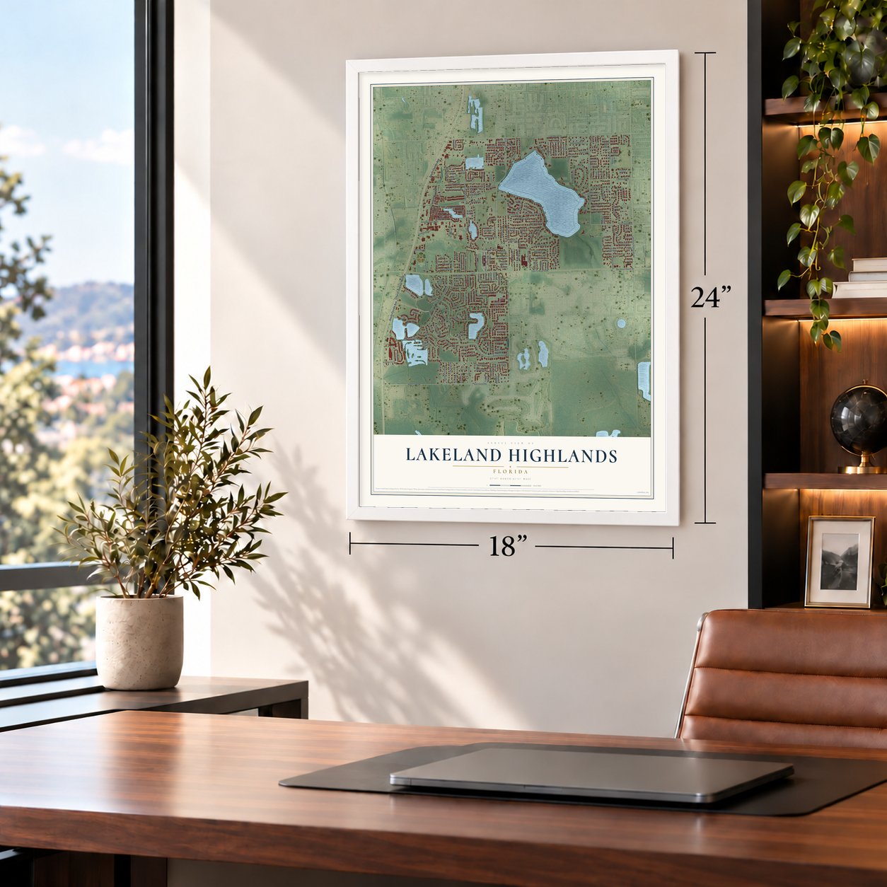
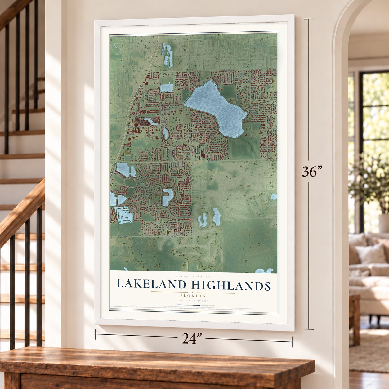
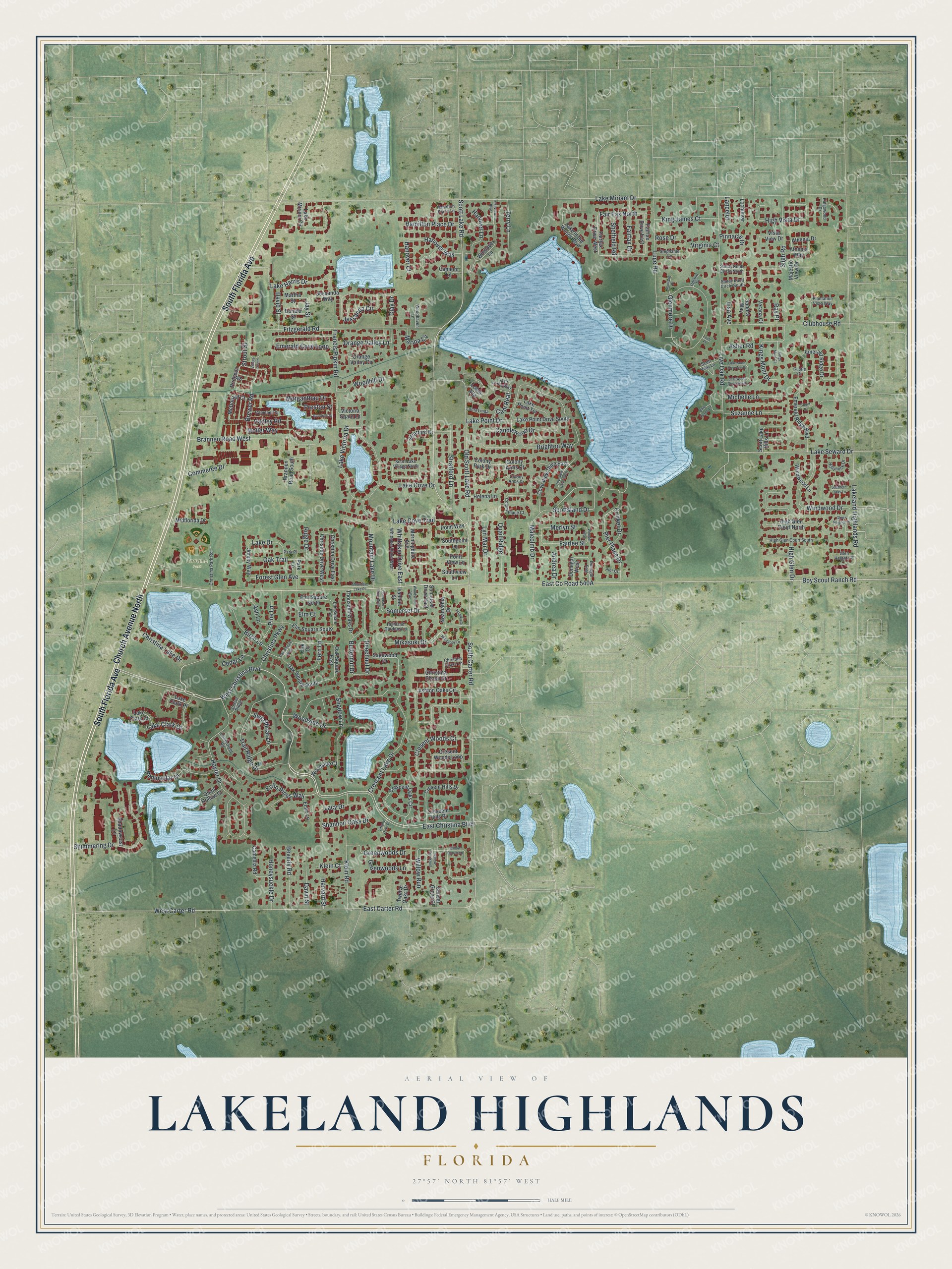
Lakeland Highlands, Florida Map Art
Building by building, with labeled streets and shaded relief.
12" x 18" Archival Matte Print
A Map of Home. A Work of Art.
Explore Lakeland Highlands, Florida from a whole new perspective. Created using aerial imagery and detailed geographic data, this map captures Lakeland Highlands building by building, with labeled streets, familiar landmarks, and shaded topographical relief that highlights the natural contours of the landscape.
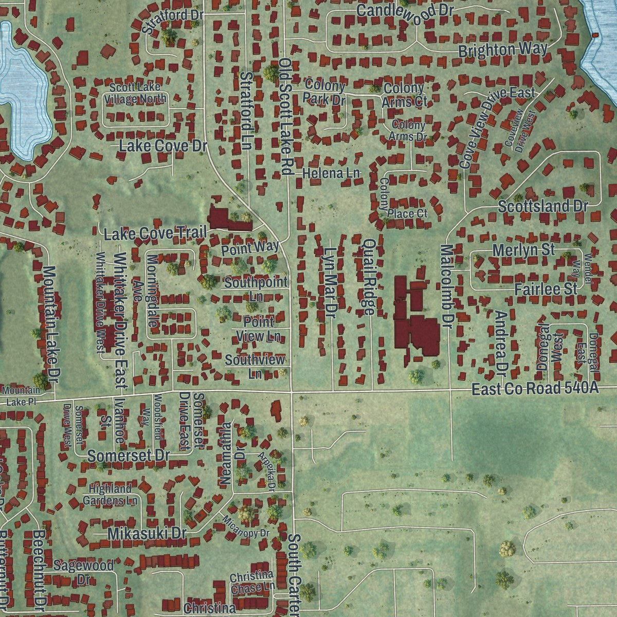
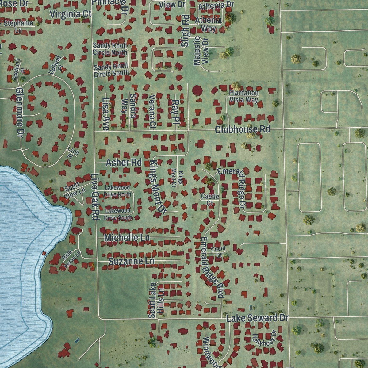
Combining modern data with the timeless character of a vintage atlas, this map is just as interesting up close as it is beautiful on the wall. Whether you grew up in Lakeland Highlands, spent memorable years there, or call it home today, this unique map is a great way to celebrate a place that means something to you. Zoom in on the preview to look for your street, and then order a print to put your memories on the wall.
Three ways to hang it
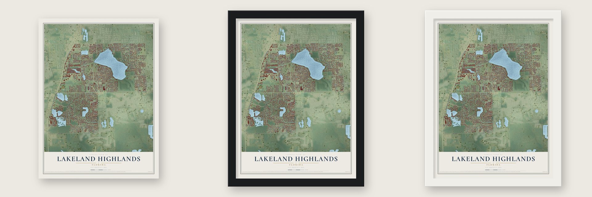
Unframed archival matte, a black wood frame or a white wood frame.
Up close
Geography Worth Displaying
This map was created using accurate cartographic data and authoritative geographic sources, including the U.S. Geological Survey and the Census Bureau. The map brings together terrain, waterways, roads, and building detail. The majority of the streets are labeled, houses are accurately depicted, and the topography is derived from government sources. Combining local data with carefully composed color and shading leads to this beautifully detailed Lakeland Highlands artwork for your wall.
Rather than simply showing street outlines, we’ve included as many of the street names as we could reasonably fit on the map while keeping their names legible. Zoom in on the high resolution preview to see exactly what’s on the map. We truly set out to create a statement piece for anyone who loves Lakeland Highlands. So whether it’s for you, or a gift for someone you love, we hope this map of Lakeland Highlands brings back fond memories.
Read the story behind this map of Lakeland Highlands, Florida from 2026.

Find your street
Names on the Lakeland Highlands map
Every name below is printed on this map. Look for your street, your school, the park where you played, or the pond down the road.
Places and landmarks1
- Christina Park
Streets and roads238
- South Florida Avenue
- Church Avenue North
- West Christina Boulevard
- East Christina Boulevard
- Christina Lake Drive
- Scott Lake Road
- South Carter Road
- East Carter Road
- Lake Seward Drive
- Stratford Lane
- Boy Scout Ranch Road
- Old Scott Lake Road
- West Carter Road
- Kings Mont Drive
- Somerset Drive
- Clay Drive
- Lake Miriam Drive
- Lakeland Highlands Road
- Live Oak Road
- Hayter Drive
- Fitzgerald Road
- Lake Victoria Drive
- Glenmore Drive
- Crescent Lake Drive
- Cresent Woods Cr
- Trail Ridge Drive
- Scottsland Drive
- Lake Point Drive
- Brighton Way
- Emerald Cove Loop
Show all 238 streets
- Clubhouse Road
- Shadow Lane
- Luce Road
- Brannen Road West
- Shimmering Drive
- Peninsular Drive
- Sligh Road
- High Glen Drive
- Willow Run
- Lake Harris Drive
- Jessanda Circle
- Morganthau Drive
- Windwood Drive
- Pier Place Drive
- High Vista Drive
- Hanover Court
- Butternut Drive
- Candlewood Drive
- Mikasuki Drive
- Woodside Drive
- Mountain Lake Drive
- Cricket Drive
- Christina Parkway
- Shannon Oaks Drive
- Lake Clark Drive
- Klein Road
- Hanover Lane
- Lake Cove Trail
- Oak Trail
- Hanover Way
- Forest Glen Avenue
- Moller Way
- Brewer Road
- Commerce Drive
- Greenwoods Drive
- Sweetbriar Lane
- King James Court
- Francis Pipkin Road
- Davin Street
- Woodhill Drive
- Beverly Road
- Quail Ridge
- Lyn Mar Drive
- Birch Lane
- Honeysuckle Drive
- Whittaker Drive East
- Hamilton Place Drive
- Merlyn Street
- Malcolmb Drive
- Fern Lane
- Fairfax Drive
- Lacy Drive
- Fair Fax North
- Suzanne Lane
- Michelle Lane
- Orange Valley Lane
- Echo Pines Way
- Ash Lane
- Terry Lane
- Greenwoods Lane
- Cedar Lane
- Hadley Road
- Pinnacle Drive
- Lake Drive
- Pine Lane
- Beechnut Drive
- David Street
- Fairlee Street
- Sheffield Road
- Lake Cove Drive
- Preston Street
- Marina Cv
- Cam Real
- Ridge Drive
- Asher Road
- Andrea Drive
- Harvard Street
- Klein Court
- Jay Street
- Virginia Court
- Lisa Avenue
- Strout Street
- Lancelot
- Ray Place
- Rose Drive
- Elm Court
- Colony Park Drive
- Fairfax Drive West
- Elm Square North
- Ashton Oaks Circle
- Emerald Ridge Boulevard
- Brannen Road South
- Crescent Oaks Circle
- Emerald Ridge Drive
- Oak Square South
- Morningdale Avenue
- Lake in the Woods Boulevard
- Cove View Drive East
- Windover Lane
- Cresent Hills Drive
- Pridgeon Street
- Christina Drive West
- McDonald Court
- Lake Point Drive South
- Christina Chase Drive
- Christina Drive East
- Vista View Drive
- Elm Square South
- Scott Lake Hills Lane
- High Glen Court North
- Sagewood Drive
- Thousand Oaks Drive
- Stratford Drive
- Camellia Road
- Majestic View Drive
- Cresent Woods Loop
- Fairfax Drive East
- Athenia Way
- Athenia Drive
- Crescent Hills Place
- Midflorida Drive
- Lake Point Terrace
- Windwood Lane
- Jonjay Way
- Oak Square East
- Jessanda Way
- Donegal West
- Lake Clark Court
- Lake Miriam Circle
- Park Lane
- Quail Hollow Court
- Neamathla Drive
- Woodside Court
- Helena Lane
- Shadowcast Lane
- Donald Street
- Orange Valley Circle
- Martha Street
- Victoria Sqare Lane
- Southpoint Lane
- Lake Clark Place
- Southview Lane
- Echo Lane
- Sandra Way
- Lochinvar
- Verana Court
- Twelve Oaks Drive
- Sunset Grove Court
- Somerset Drive East
- Point Way
- Ivanhoe Street
- Point View Lane
- Camelot Lane
- Loma Alta
- Colony Arms Court
- Oak Court
- High Glen Court South
- Colony Place Court
- Whittaker Drive West
- Christina Park Road
- Plantation Vista Way
- Scott Lake Village North
- Highland Gardens Lane
- Hollyhock Drive
- Hamilton Place Lane
- Sandy Knoll Circle South
- Sandy Knoll Circle North
- Campbell Street
- Colony Arms Drive
- Christina Chase Lane
- Casa Loma Way
- Elm Square East
- Stephanie Lane
- Sunset Ridge
- Kingswood Drive
- Woodhaven Lane
- Donegal East
- Loma Linda
- Hunterfield Road
- Park Place
- Glen Heights Place
- Scott View Lane
- Pier Court
- Upland Place
- Castle Court
- Blue Heron Lane
- Coveview Drive West
- Mountain Lake Place
- Lakewood Drive North
- Lakewood Drive South
- Goodrich Street
- Arpeika Drive
- Willow Run Loop
- Woodsfield Way
- Micanopy Drive
- Glenn Heights Place
- Somerset Drive West
- Southern Oaks Lane
- Oak Square West
- Scotland Place
- Village Green
- Lakeview Boulevard
- Willow Run Knoll
- Wendel Way
- Tiffany Oaks Drive
- Count Court
- Kings Mont Court
- Loch Place
Names are listed as they appear on the printed map. Zoom into the product photos to find them.
About Lakeland Highlands, Florida
Lakeland Highlands is a community of 12,187 people in Polk County, just south of the Lakeland city limits. In 1879 this ground was part of Spring Hill, a settlement promoted by Lewis M. Ballard that reached from Lake Hollingsworth south to today's Shepherd Road. Ballard's general store and post office stood at its heart, and both relied on a worn military road from the Second Seminole War that ran from Tampa past old Fort Fraser to Bartow.
Settlers hoped a railroad would bring them better times, and a trickle of newcomers kept arriving on the strength of that promise. Two Northern investors, William Van Fleet and Alfred Parslow, took over the main railroad scheme, which was renamed the Jacksonville, Tampa, & Key West Railroad. They could not raise the money to build it, so the hard times dragged on into the 1880s.
“How long till the work will commence, who can tell. I am tired, good bye.”
- The Scott Lake millIn 1879 J. M. Ballard, the postmaster's brother, put up a mill and gin beside the military road at Scott Lake, and by late June a resident reported several hands at work. The saw mill shut down in July 1882. The public was told there was no demand for lumber, but local building had already collapsed.
- Locked by the sheriff in 1882A few days after the mill closed, Lewis Ballard lost his store as well. Lawsuits led the sheriff to seize the Medulla store and lock its doors on July 17, 1882.
- A high school named for PublixGeorge W. Jenkins Senior High School serves Lakeland Highlands. It carries the name of the man who founded Publix Super Markets, the grocery chain based in Lakeland.
Keep exploring Florida
Lakeland Highlands is one of 1,061 Florida towns we've mapped. Every dot on the map is a print of its own.
The search covers every state, Florida first.
Near Lakeland Highlands
Order 2 or more town maps and save 10%. Shown in the size and finish you picked above, so they hang as a set.
- Medulla 12" x 18" / Archival Matte Print $39.99
- Fuller Heights 12" x 18" / Archival Matte Print $39.99
- Mulberry 12" x 18" / Archival Matte Print $39.99
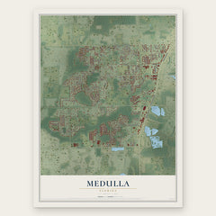
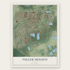

More maps nearby: Highland City, Willow Oak, Crystal Lake, Winston and Lakeland.
The art of mapping a place
How This Map Was Made
Real places. Remarkable detail. Discover the layers that turn geographic data into a map of home.

The view from above
Aerial imagery reveals the character of the land: woodland, open fields, and the patterns of a place.

The shape of the land
Elevation data brings hills, valleys, and subtle changes in the landscape into view.

The details of home
Roads, waterways, and building footprints come together to make the map feel unmistakably local.

Geography becomes art
Considered color, shading, and typography bring the layers together in a map made for your wall.


Process illustrated with Mendon, Massachusetts. Aerial imagery: USDA NAIP. Terrain: USGS 3D Elevation Program. Map details and finished artwork: KNOWOL.
The Details
About This Print
Choose an archival matte print, or a black or white Ayous wood frame. The archival matte print is unframed.
Select your size and finish above to see the matching product image and price.
Materials & Craftsmanship
A contemporary map with the character of a classic atlas, printed on archival matte paper. Optional frames are made from Ayous wood.
Your printed map does not include the watermark shown in the full-map preview.
Shipping & Delivery
Free shipping within the United States. Every print is made to order in the USA.
Buying a gift? Add a note in your cart and we'll include it. We never put prices in the package.
Prints ship within 2 to 3 business days. Allow 7 to 10 days total from ordering for delivery. Timing may vary during holidays or periods of high order volume.
Read our shipping policy.
Returns and damaged prints
Each print is made to order. Change-of-mind refunds are not available after production.
If your print arrives damaged, misprinted or incorrect, contact support@knowol.com within 30 days of receiving it. Include your order number, photos and a description of the issue.
Read our full refund and replacement policy. For questions about your order, email support@knowol.com.