
Search for another town


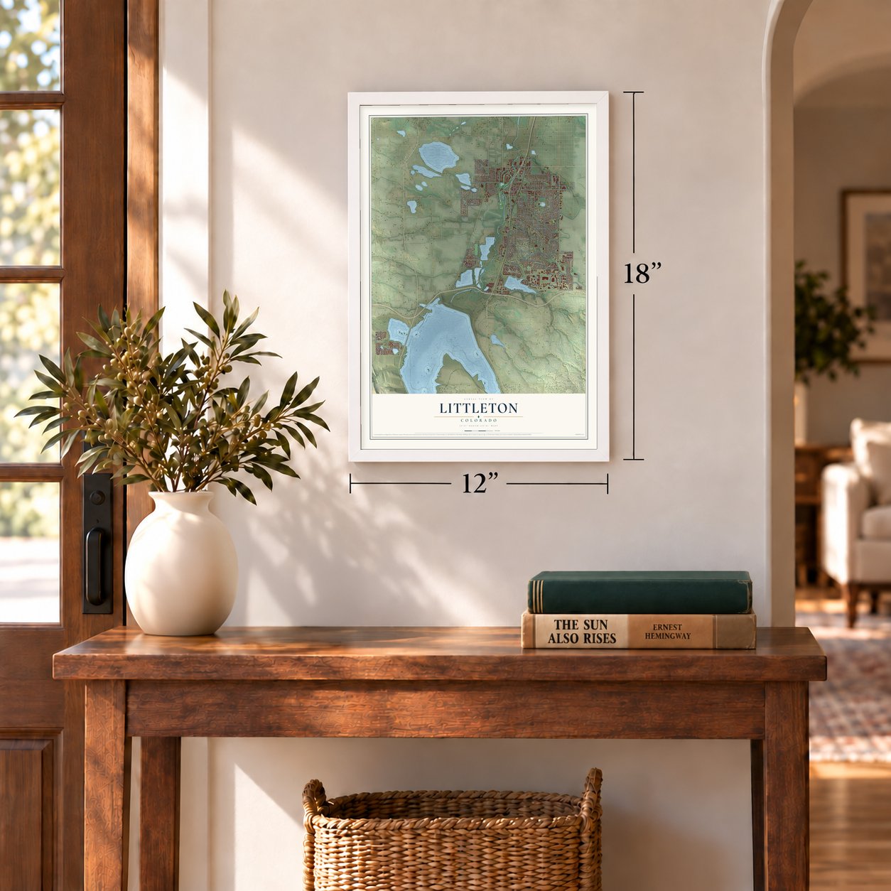

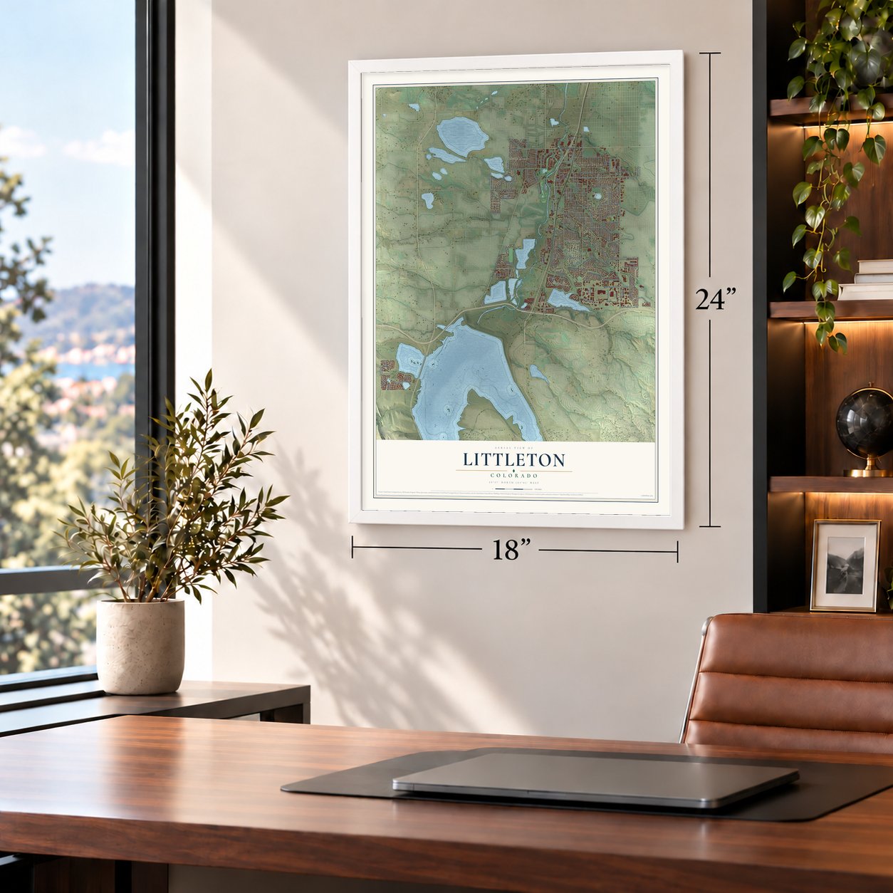

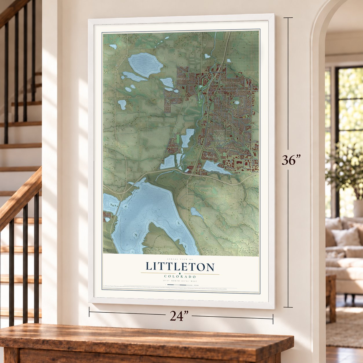

Free U.S. delivery 7 to 10 days after you order
Littleton, Colorado Map Art
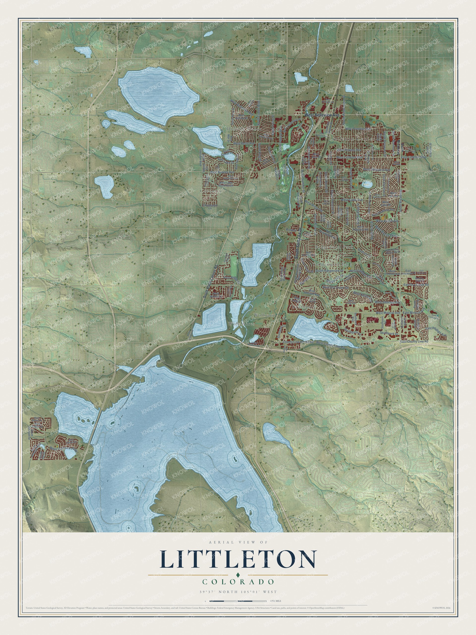
A new map of Littleton, Colorado, made in 2026 and printed to order on thick archival matte paper.
12" x 18" Archival Matte Print
A Map of Home. A Work of Art.
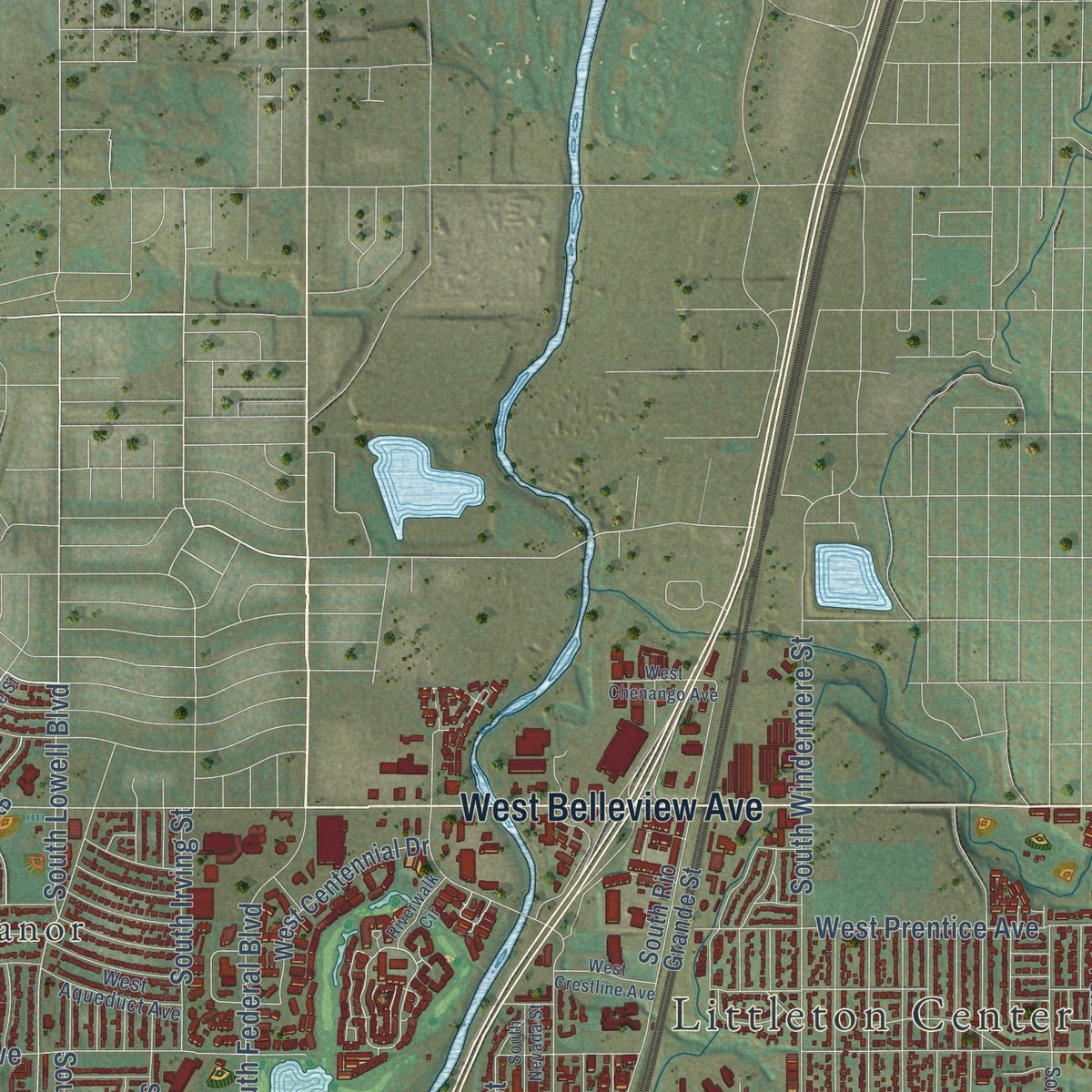
Explore Littleton, Colorado from a whole new perspective. Created using aerial imagery and detailed geographic data, this map captures Littleton building by building, with labeled streets, familiar landmarks, and shaded topographical relief that highlights the natural contours of the landscape.
Combining modern data with the timeless character of a vintage atlas, this map is just as interesting up close as it is beautiful on the wall. Whether you grew up in Littleton, spent memorable years there, or call it home today, this unique map is a great way to celebrate a place that means something to you. Zoom in on the preview to look for your street, and then order a print to put your memories on the wall.
Three ways to hang it
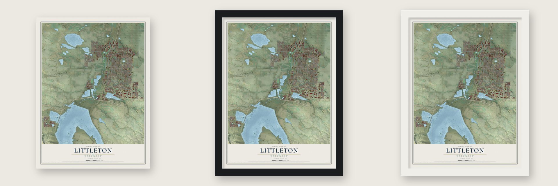
Unframed archival matte, a black wood frame or a white wood frame.
Up close
Geography Worth Displaying
This map was created using accurate cartographic data and authoritative geographic sources, including the U.S. Geological Survey and the Census Bureau. The map brings together terrain, waterways, roads, and building detail. The majority of the streets are labeled, houses are accurately depicted, and the topography is derived from government sources. Combining local data with carefully composed color and shading leads to this beautifully detailed Littleton artwork for your wall.
Rather than simply showing street outlines, we’ve included as many of the street names as we could reasonably fit on the map while keeping their names legible. Zoom in on the high resolution preview to see exactly what’s on the map. We truly set out to create a statement piece for anyone who loves Littleton. So whether it’s for you, or a gift for someone you love, we hope this map of Littleton brings back fond memories.
Read the story behind this map of Littleton, Colorado from 2026.

About Littleton, Colorado
Littleton is a city of 45,652 people and the county seat of Arapahoe County, on the South Platte River south of Denver. The 1859 Pike's Peak gold rush drew miners to Colorado, and farmers and merchants soon followed them. Richard Sullivan Little, an engineer from New Hampshire who had come west to build irrigation works, took up land here in 1860. At that time, the county history says, no other settler lived between him and the mountains in the Platte valley. He brought his wife, Angeline, out from the East in 1862.
In 1867 the Littles and their neighbors built the Rough and Ready Flour Mill, which gave the settlement a steady living and was its first step toward becoming a village. Littleton grew up beside the Denver and Rio Grande railway, ten miles south of Denver, and by 1890 its 245 residents voted to incorporate as the Town of Littleton. The town grew quickly in the 1950s and 1960s, when Martin Marietta built Titan rockets close by.
- Rough and Ready flourThe mill sold its fancy flour under the Rough and Ready brand. The county history said the brand was known almost as well in Boston and New York as it was in Denver. It also said this flour was the first to make the East notice the quality of Colorado flour.
- A brick school in 1873Before there was a town school, children studied in a little cabin of logs near Brown's bridge, roughly two miles north of the present town. In 1873 Littleton put up a model brick schoolhouse with the newest improvements. It soon had a good staff of teachers and about one hundred pupils.
- Western Welcome WeekLittleton has held Western Welcome Week every year since the late 1920s. The celebration now includes more than 40 events, and they raise money for dozens of local civic and charitable groups.
- Candlelight on Main StreetEach holiday season the Candlelight Walk ends when the trees on Main Street light up. In late summer, riders in the Twilight Criterium race a 0.8-mile course through the historic downtown. Littleton Main Street joined the National Register in 1998.
Find your street
Names on the Littleton map
Every name below is printed on this map. Look for your street, your school, the park where you played, or the pond down the road.
Places and landmarks9
- Littleton Center
- Ketring Park
- Coventry
- Goldenwest Park
- Hillside Manor
- Ridgewood Park
- Southpark
- Wide Acres
- Wolhurst
Streets and roads145
- South Santa Fe Drive
- West Belleview Avenue
- South Broadway
- West County Line Road
- West Littleton Boulevard
- South Lowell Boulevard
- County Line Road
- East Littleton Boulevard
- Ramp
- South Windermere Street
- West Mineral Avenue
- South Prince Street
- South Elati Street
- West Bowles Avenue
- South Gallup Street
- West Berry Avenue
- West Ridge Road
- South Prescott Street
- South Datura Street
- West Powers Avenue
- South Delaware Street
- West Caley Avenue
- South Bemis Street
- South Bannock Street
- West Dry Creek Road
- Polo Ridge Drive
- West Shepperd Avenue
- West Trailmark Parkway
- West Jamison Avenue
- Southpark Lane
Show all 145 streets
- West Prentice Avenue
- West Kettle Avenue
- South Curtice Street
- East Mineral Avenue
- West Euclid Avenue
- South Federal Boulevard
- West Geddes Avenue
- West Sterne Parkway
- Southpark Drive
- East County Line Road
- East Phillips Avenue
- Tule Lake Drive
- Shadycroft Drive
- South King Street
- East Dry Creek Road
- South Rangeview Drive
- South Irving Street
- South Sumner Street
- Sunset Drive
- South Platte Canyon Road
- South Sycamore Street
- South Logan Street
- West Briarwood Avenue
- West Main Street
- South Sheridan Boulevard
- East Freemont Place
- South Lakeview Street
- South Crocker Street
- South Hill Street
- South Cedar Street
- West Peakview Avenue
- South Louthan Street
- South Rio Grande Street
- South Logan Drive
- South Acoma Street
- South Hickory Street
- West Fair Avenue
- South Costilla Street
- South Fox Street
- South Perry Street
- Blue Sage Drive
- South Johnson Street
- West Long Drive
- West Arapahoe Road
- Southpark Circle
- West Lake Circle South
- South Houstoun Waring Circle
- South Vinewood Street
- West Centennial Drive
- South Julian Street
- South Aberdeen Street
- South Platte River Parkway
- Shasta Circle
- West Fremont Drive
- South Watson Lane
- Southpark Way
- Southpark Terrace
- West Mineral Drive
- South Lincoln Street
- West Jamison Way
- South Farnell Lane
- West Hillside Place
- Brewery Lane
- West Fremont Avenue
- South Johnson Way
- Bradbury Lane
- West Baden Drive
- Christensen Lane
- South Sumac Lane
- South Clarkson Street
- West Caley Drive
- South Iris Court
- Bow Mar Drive
- South Hill Drive
- South Depew Street
- West Long Avenue
- South Spotswood Street
- South Huron Street
- West Aberdeen Avenue
- West Rowland Avenue
- South Crestview Street
- West Ida Avenue
- Southpark Plaza
- West Hinsdale Drive
- South Apache Street
- South Wolhurst Drive
- West Davies Avenue North
- West Aqueduct Avenue
- West Cannes Drive
- East Dry Creek Place
- West Athens Lane
- South Rapp Street
- South Clay Street
- West Chenango Avenue
- South Meade Street
- East Fremont Place
- South Polo Ridge Drive
- West Crestline Avenue
- West Lake Avenue
- West Jamison Circle
- South Nevada Street
- South Coventry Lane West
- South Prince Circle
- South Fairfield Street
- East Powers Avenue
- West Easter Avenue
- West Arbor Avenue
- West Alamo Place
- South Hill Way
- West Caley Place
- South Overlook Way
- South Corona Way
- Erickson Boulevard
- Riverwalk Circle
- Laurel Place
Names are listed as they appear on the printed map. Zoom into the product photos to find them.
The art of mapping a place
How This Map Was Made
Real places. Remarkable detail. Discover the layers that turn geographic data into a map of home.

The view from above
Aerial imagery reveals the character of the land: woodland, open fields, and the patterns of a place.

The shape of the land
Elevation data brings hills, valleys, and subtle changes in the landscape into view.

The details of home
Roads, waterways, and building footprints come together to make the map feel unmistakably local.

Geography becomes art
Considered color, shading, and typography bring the layers together in a map made for your wall.


Process illustrated with Mendon, Massachusetts. Aerial imagery: USDA NAIP. Terrain: USGS 3D Elevation Program. Map details and finished artwork: KNOWOL.
The Details
About This Print
Choose an archival matte print, or a black or white Ayous wood frame. The archival matte print is unframed.
Select your size and finish above to see the matching product image and price.
Materials & Craftsmanship
A contemporary map with the character of a classic atlas, printed on archival matte paper. Optional frames are made from Ayous wood.
Your printed map does not include the watermark shown in the full-map preview.
Shipping & Delivery
Free shipping within the United States. Every print is made to order in the USA.
Buying a gift? Add a note in your cart and we'll include it. We never put prices in the package.
Prints ship within 2 to 3 business days. Allow 7 to 10 days total from ordering for delivery. Timing may vary during holidays or periods of high order volume.
Read our shipping policy.
Returns and damaged prints
Each print is made to order. Change-of-mind refunds are not available after production.
If your print arrives damaged, misprinted or incorrect, contact support@knowol.com within 30 days of receiving it. Include your order number, photos and a description of the issue.
Read our full refund and replacement policy. For questions about your order, email support@knowol.com.
Find your town
Looking for another city?
Find a map of home in our Colorado collection, or any town in the country.
Nearby
Maps of towns near Littleton
Know someone from one of these towns? Their map makes a great gift.
 Columbine Valley
, Colorado
From $39.99See the map
 Columbine
, Colorado
From $39.99See the map
 Bow Mar
, Colorado
From $39.99See the map
More maps nearby: Sheridan, Englewood, Highlands Ranch, Cherry Hills Village and Ken Caryl.