
Search for another town





Free U.S. delivery 7 to 10 days after you order
Lyman, South Carolina Map Art
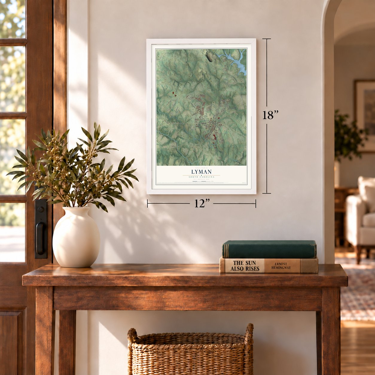
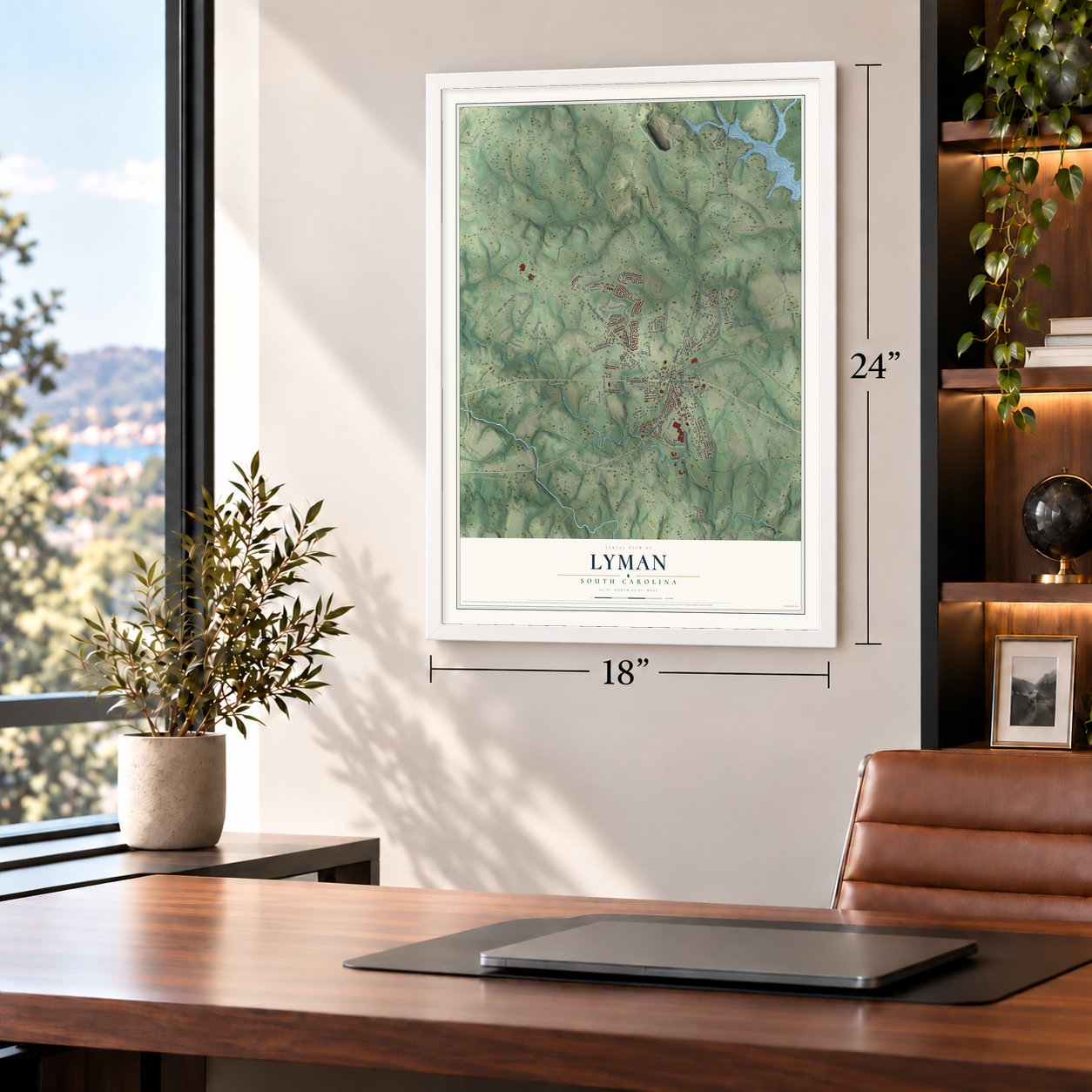
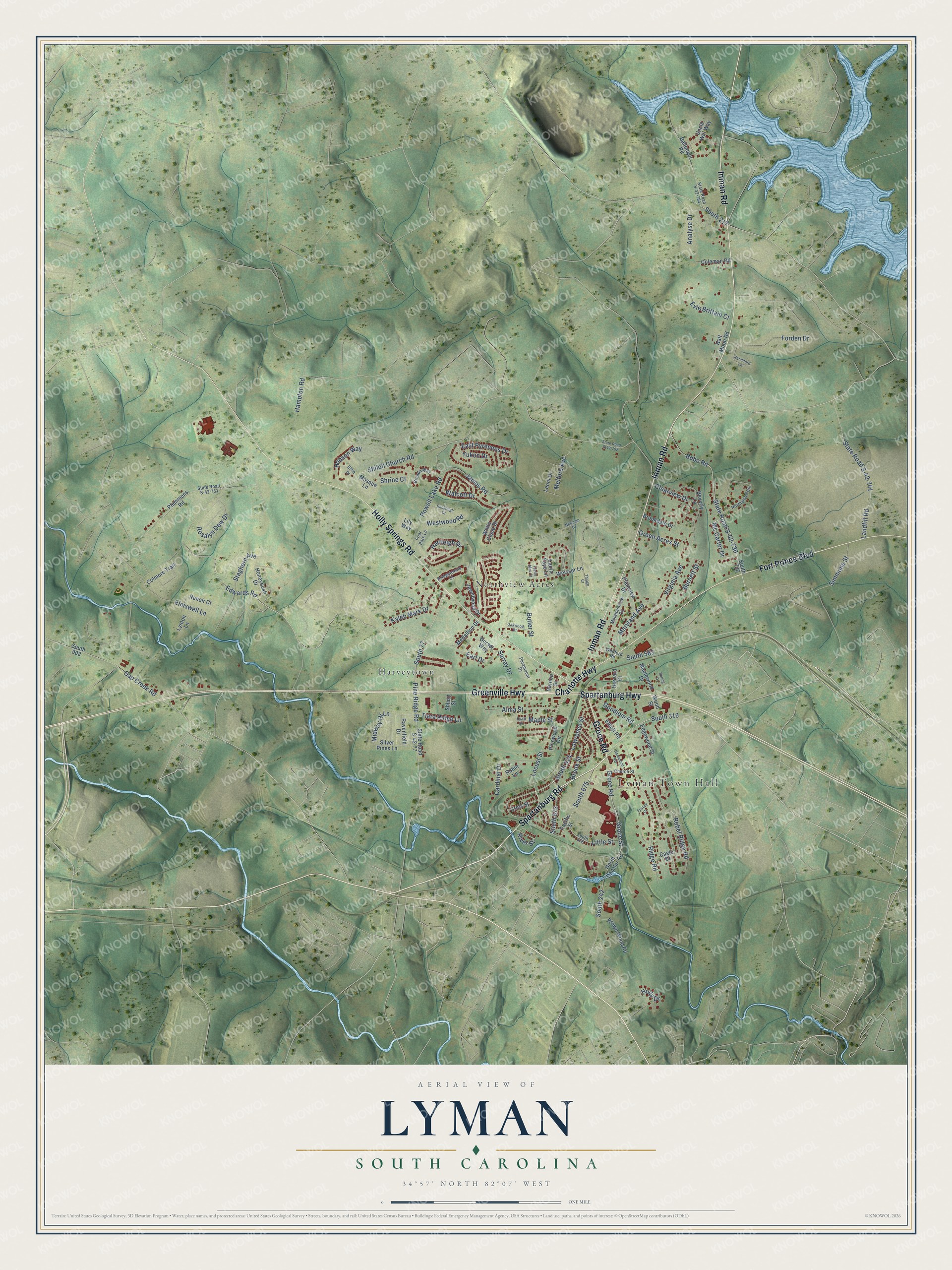
A new map of Lyman, South Carolina, made in 2026 and printed to order on thick archival matte paper.
12" x 18" Archival Matte Print
A Map of Home. A Work of Art.
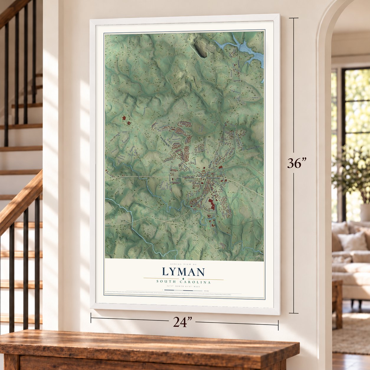
Explore Lyman, South Carolina from a whole new perspective. Created using aerial imagery and detailed geographic data, this map captures Lyman building by building, with labeled streets, familiar landmarks, and shaded topographical relief that highlights the natural contours of the landscape.
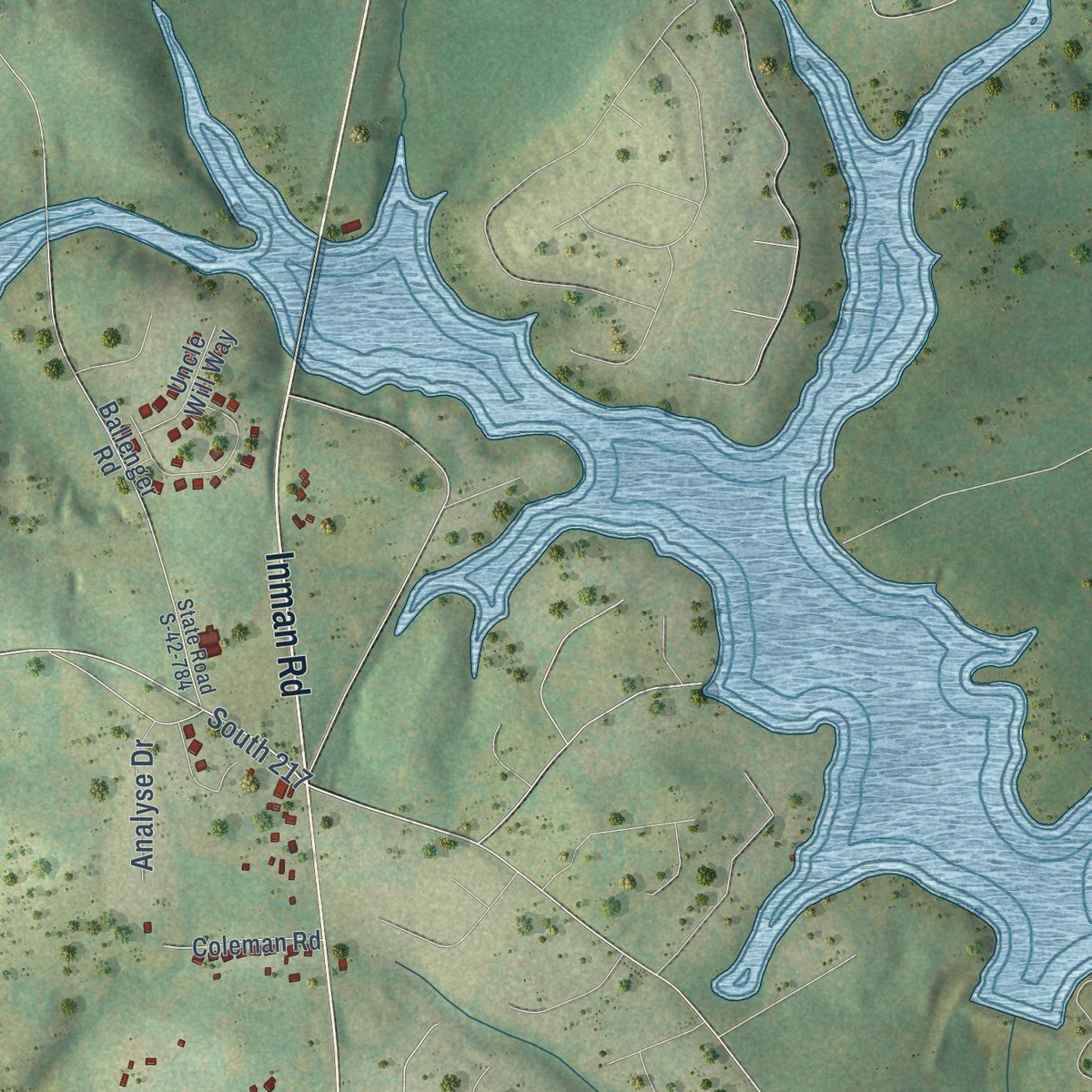
Combining modern data with the timeless character of a vintage atlas, this map is just as interesting up close as it is beautiful on the wall. Whether you grew up in Lyman, spent memorable years there, or call it home today, this unique map is a great way to celebrate a place that means something to you. Zoom in on the preview to look for your street, and then order a print to put your memories on the wall.
Three ways to hang it
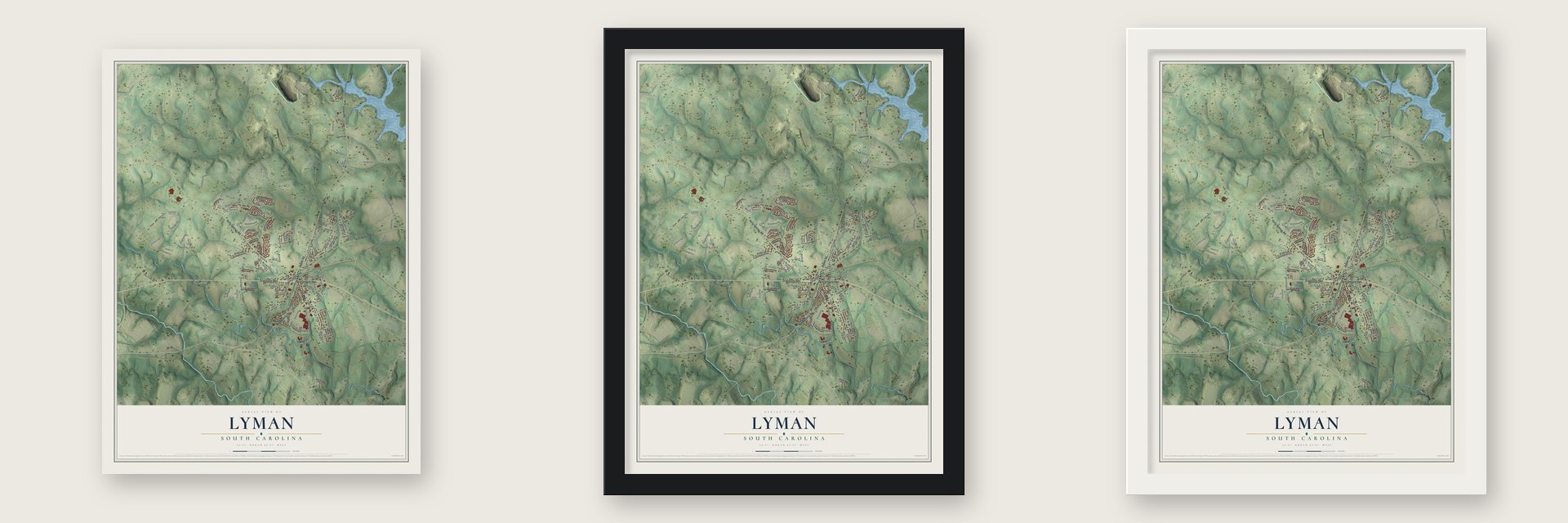
Unframed archival matte, a black wood frame or a white wood frame.
Up close
Geography Worth Displaying
This map was created using accurate cartographic data and authoritative geographic sources, including the U.S. Geological Survey and the Census Bureau. The map brings together terrain, waterways, roads, and building detail. The majority of the streets are labeled, houses are accurately depicted, and the topography is derived from government sources. Combining local data with carefully composed color and shading leads to this beautifully detailed Lyman artwork for your wall.
Rather than simply showing street outlines, we’ve included as many of the street names as we could reasonably fit on the map while keeping their names legible. Zoom in on the high resolution preview to see exactly what’s on the map. We truly set out to create a statement piece for anyone who loves Lyman. So whether it’s for you, or a gift for someone you love, we hope this map of Lyman brings back fond memories.
Read the story behind this map of Lyman, South Carolina from 2026.

About Lyman, South Carolina
Lyman is a town of 6,173 people in Spartanburg County. It began in the mid-1870s around a general store run by Augustus Belton Groce, and the settlement that grew up beside it took the name Groce's Stop. The Groce family sold more than 700 acres to Pacific Mills in 1923, and by the next year the company had built the Lyman Printing and Finishing Mill on that land.
By 1927 Pacific Mills had put up 375 houses for the people who worked there. The town then took a new name honoring Arthur T. Lyman, who had once served as the mill's president. Lyman lived on textiles for decades, until its last mill shut down in 2005.
- A showcase mill villagePacific Mills passed over the plain salt-box houses found in most cotton mill villages. It built four-, five- and six-room homes of modern design, set on cypress underpinning that the company swapped for brick in the late 1940s. Executives lived on Ridge Road in bigger, finer houses of the same materials. The company also kept up the streets and dirt back alleys, where plant crews spread cinders from the boiler room's burnt coal to keep the mud down.
- Running water from the startWhen the company laid out the village, it ran water mains and sewer pipes under the streets and connected every house and building to them. That gave Lyman families indoor plumbing at a time when few people in South Carolina had it. The sewer lines drained down to a concrete holding tank beside the river, across from where the library stands today.
- Baseball under the lightsMill work filled most days, but Lyman made room for recreation too. According to the South Carolina Encyclopedia, the town was home to the county's first lighted baseball field.
Find your street
Names on the Lyman map
Every name below is printed on this map. Look for your street, your school, the park where you played, or the pond down the road.
Places and landmarks3
- Lyman Town Hall
- Harveytown
- Northview Acres
Streets and roads130
- Spartanburg Road
- Spartanburg Highway
- Greenville Highway
- Inman Road
- Holly Springs Road
- Fort Prince Boulevard
- Charlotte Highway
- Groce Road
- South 316
- Locust Street
- Edwards Road
- State Road S-42-736
- South 217
- Lawrence Street
- South 524
- Ridge Road
- Pine Ridge Road
- South 77
- Hartleigh Drive
- Bobo Road
- Hampton Road
- South 242
- Shiloh Church Road
- Walcott Drive
- State Road S-42-741
- Simmons Street
- Butler Street
- Groce Street
- Virginia Avenue
- Rebel Ridge Road
Show all 130 streets
- Forden Drive
- Alma Street
- Powell Lake Road
- Hobson Way
- Rosalyn Dew Drive
- Maryland Avenue
- Elmswell Lane
- South 675
- Landfill Road
- Cardinal Drive
- East Pyrenees Drive
- Gap Creek Road
- Midway Hl Lane
- Earl Drive
- Clearview Drive
- Staghorn Avenue
- South 563
- James Road
- Kaleb Mark Drive
- Little Street
- Mc Carter Drive
- Melford Avenue
- South 673
- Green Acres Street
- Maple Street
- Burnett Street
- Goodjoin Road
- Evie Brittain Court
- Tiara Ridge Lane
- Brook Street
- Yukon Drive
- Shrine Court
- Westwood Road
- Surrey Drive
- Analyse Drive
- River Street
- Holly Drive
- Medallion Drive
- South 736
- State Road S-42-77
- North Danzler Road
- Plemmons Road
- Brookdale Drive
- South 908
- Pacific Street
- Ballenger Road
- Laura Faye Lane
- Edgewood Street
- Plainview Drive
- Weisser Lane
- Beverly Lane
- Brown Wood Road
- Half Moon Road
- Honeybush Drive
- Pinewood Circle
- Silver Pines Lane
- Elliott Road
- Maplewood Drive
- Wood Street
- Jewelwood Drive
- Colmore Trail
- Coleman Road
- White Cloud Drive
- Renoir Court
- Cagle Drive
- Robin Lane
- Crest Street
- Uncle Will Way
- Ravenfield Drive
- Leoni Drive
- Lynton Lane
- Harvard Court
- Mosque Lane
- Dorset Way
- Vernon Street
- Lily Way
- Shhort Street
- Mountainview Circle
- Northwood Circle
- State Road S-42-751
- State Road S-42-784
- Wellford Road
- South 676
- Friar Park Lane
- Brenda Way
- Paramount Drive
- Bridgetowne Court
- Church Street
- Effie Drive
- State Road S-42-792
- Ratchford Lane
- Rockleigh Drive
- Oakwood Drive
- Hammond Road
- Hyatt Drive
- Newman Drive
- Thiago Court
- Taylor Mae Court
- Foxlair Court
- Spring Drive
Names are listed as they appear on the printed map. Zoom into the product photos to find them.
The art of mapping a place
How This Map Was Made
Real places. Remarkable detail. Discover the layers that turn geographic data into a map of home.

The view from above
Aerial imagery reveals the character of the land: woodland, open fields, and the patterns of a place.

The shape of the land
Elevation data brings hills, valleys, and subtle changes in the landscape into view.

The details of home
Roads, waterways, and building footprints come together to make the map feel unmistakably local.

Geography becomes art
Considered color, shading, and typography bring the layers together in a map made for your wall.


Process illustrated with Mendon, Massachusetts. Aerial imagery: USDA NAIP. Terrain: USGS 3D Elevation Program. Map details and finished artwork: KNOWOL.
The Details
About This Print
Choose an archival matte print, or a black or white Ayous wood frame. The archival matte print is unframed.
Select your size and finish above to see the matching product image and price.
Materials & Craftsmanship
A contemporary map with the character of a classic atlas, printed on archival matte paper. Optional frames are made from Ayous wood.
Your printed map does not include the watermark shown in the full-map preview.
Shipping & Delivery
Free shipping within the United States. Every print is made to order in the USA.
Buying a gift? Add a note in your cart and we'll include it. We never put prices in the package.
Prints ship within 2 to 3 business days. Allow 7 to 10 days total from ordering for delivery. Timing may vary during holidays or periods of high order volume.
Read our shipping policy.
Returns and damaged prints
Each print is made to order. Change-of-mind refunds are not available after production.
If your print arrives damaged, misprinted or incorrect, contact support@knowol.com within 30 days of receiving it. Include your order number, photos and a description of the issue.
Read our full refund and replacement policy. For questions about your order, email support@knowol.com.
Find your town
Looking for another city?
Find a map of home in our South Carolina collection, or any town in the country.
Nearby
Maps of towns near Lyman
Know someone from one of these towns? Their map makes a great gift.
 Wellford
, South Carolina
From $39.99See the map
 Duncan
, South Carolina
From $39.99See the map
 Startex
, South Carolina
From $39.99See the map
More maps nearby: Inman Mills, Greer, Inman, Fairforest and Reidville.