
Search for another town



Free U.S. delivery 7 to 10 days after you order
Minnetonka, Minnesota Map Art
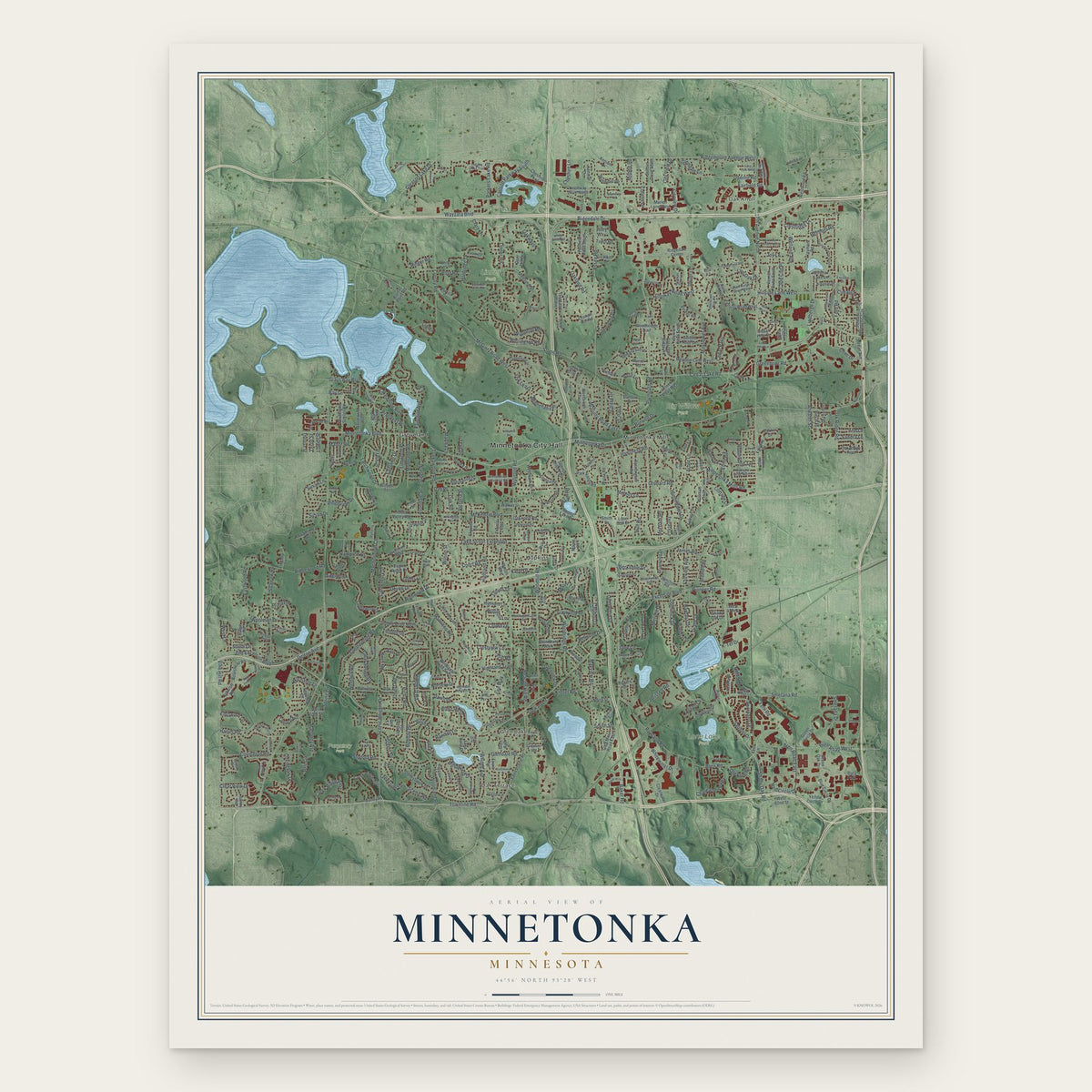
A new map of Minnetonka, Minnesota, made in 2026 and printed to order on thick archival matte paper.
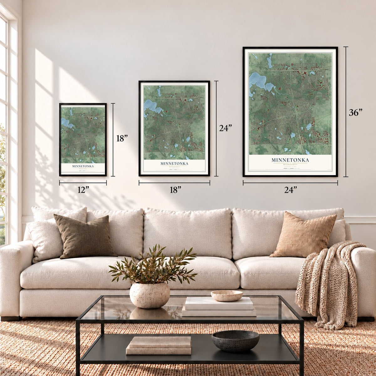
12" x 18" Archival Matte Print
A Map of Home. A Work of Art.
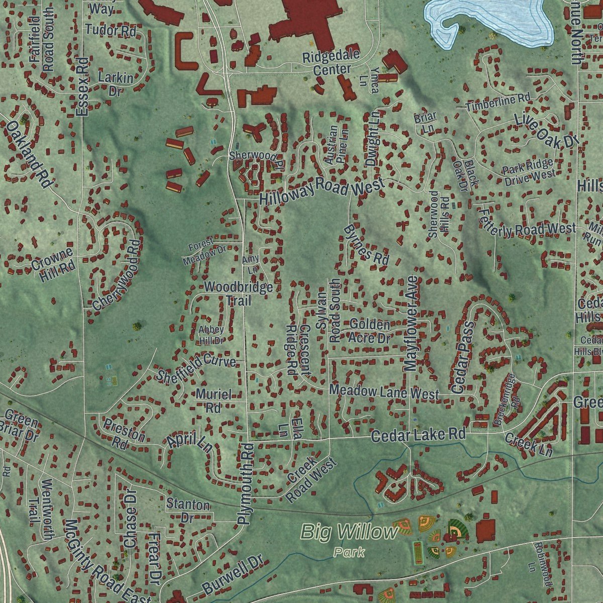
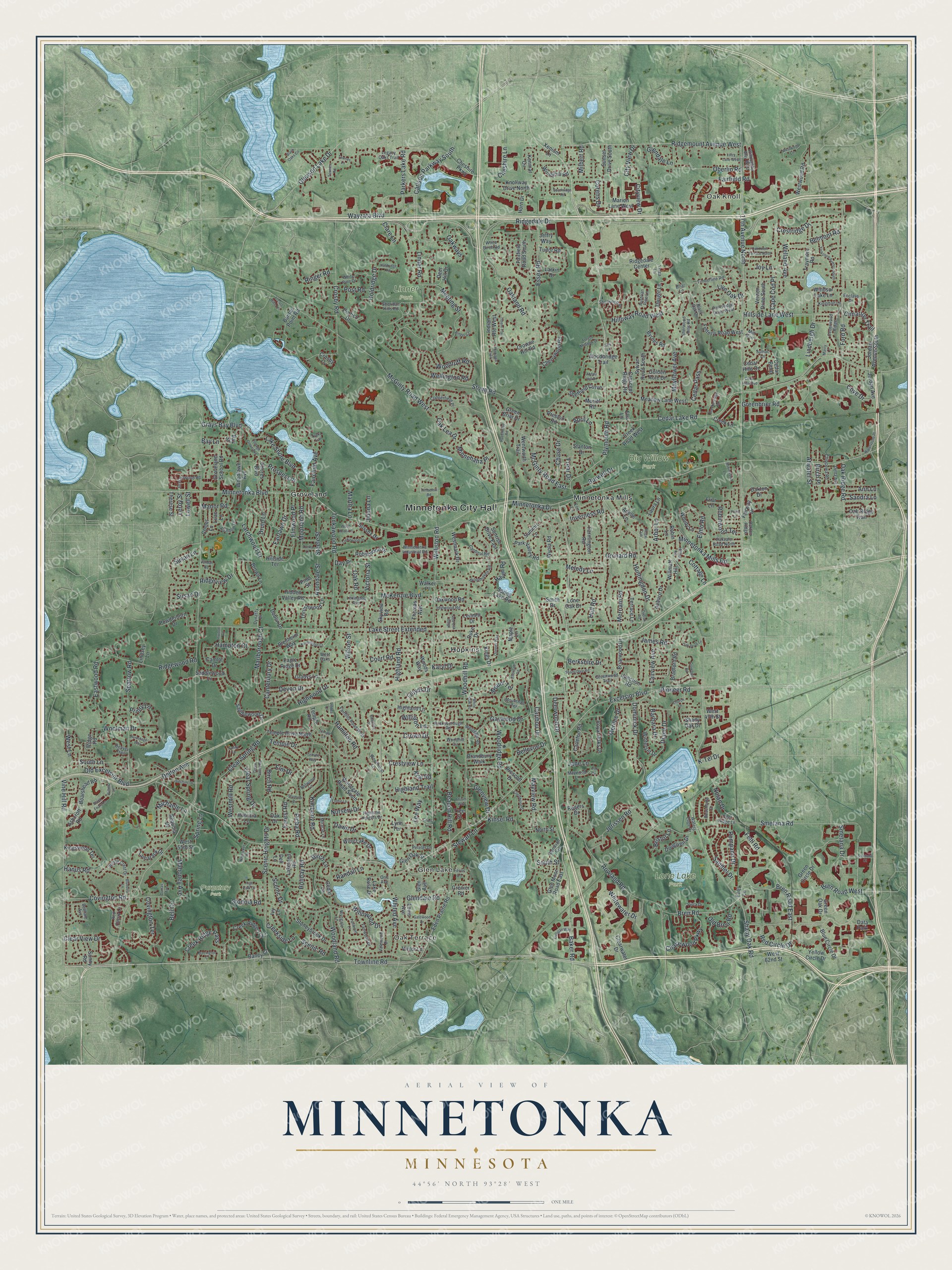
Explore Minnetonka, Minnesota from a whole new perspective. Created using aerial imagery and detailed geographic data, this map captures Minnetonka building by building, with labeled streets, familiar landmarks, and shaded topographical relief that highlights the natural contours of the landscape.
Combining modern data with the timeless character of a vintage atlas, this map is just as interesting up close as it is beautiful on the wall. Whether you grew up in Minnetonka, spent memorable years there, or call it home today, this unique map is a great way to celebrate a place that means something to you. Zoom in on the preview to look for your street, and then order a print to put your memories on the wall.
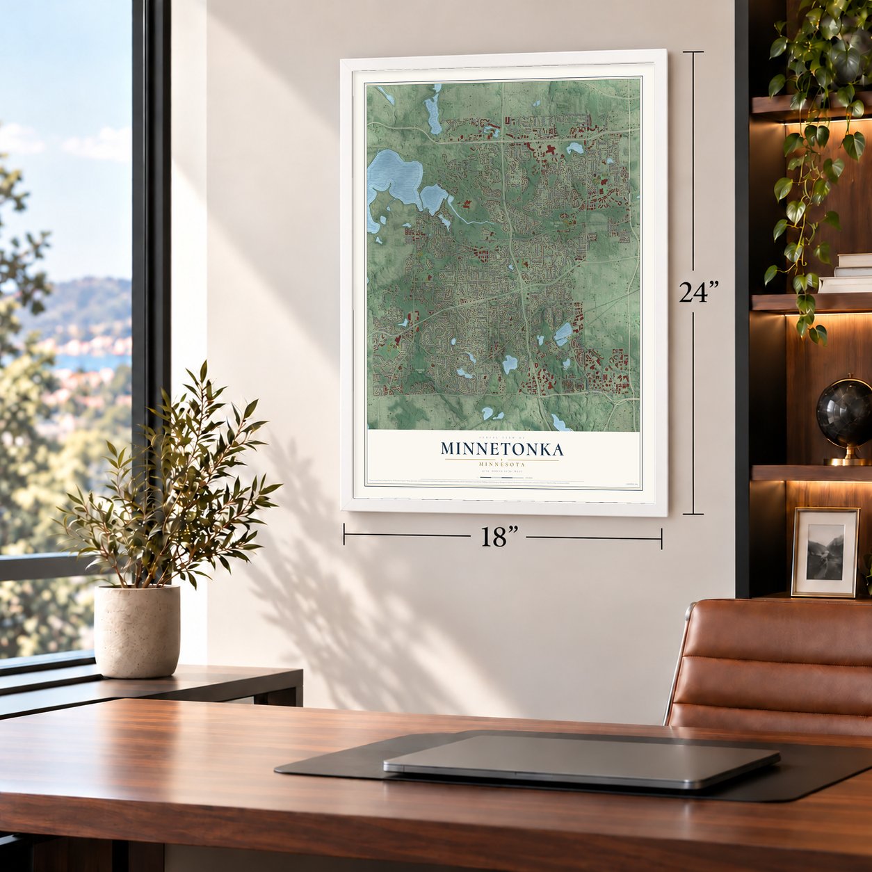
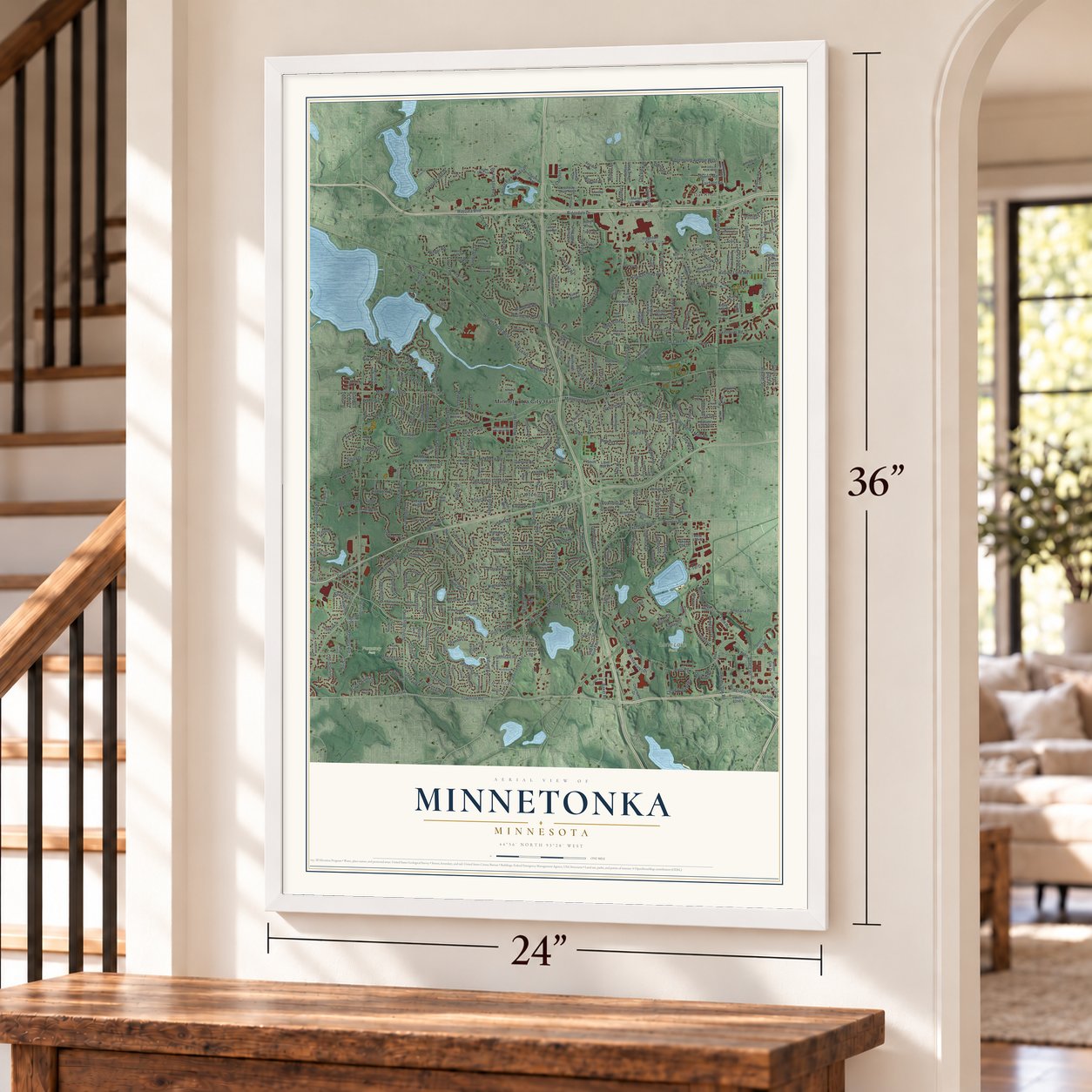
Three ways to hang it
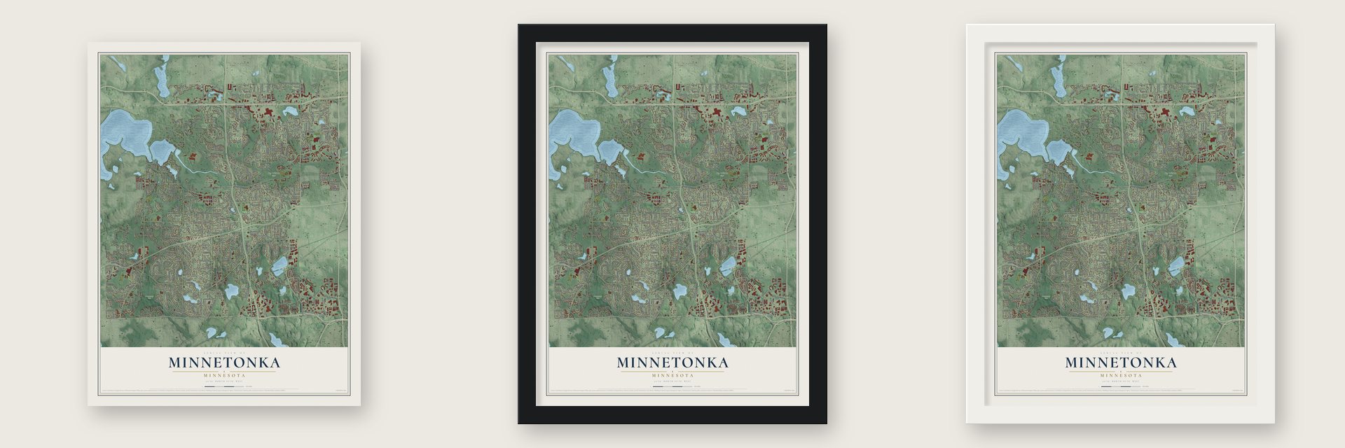
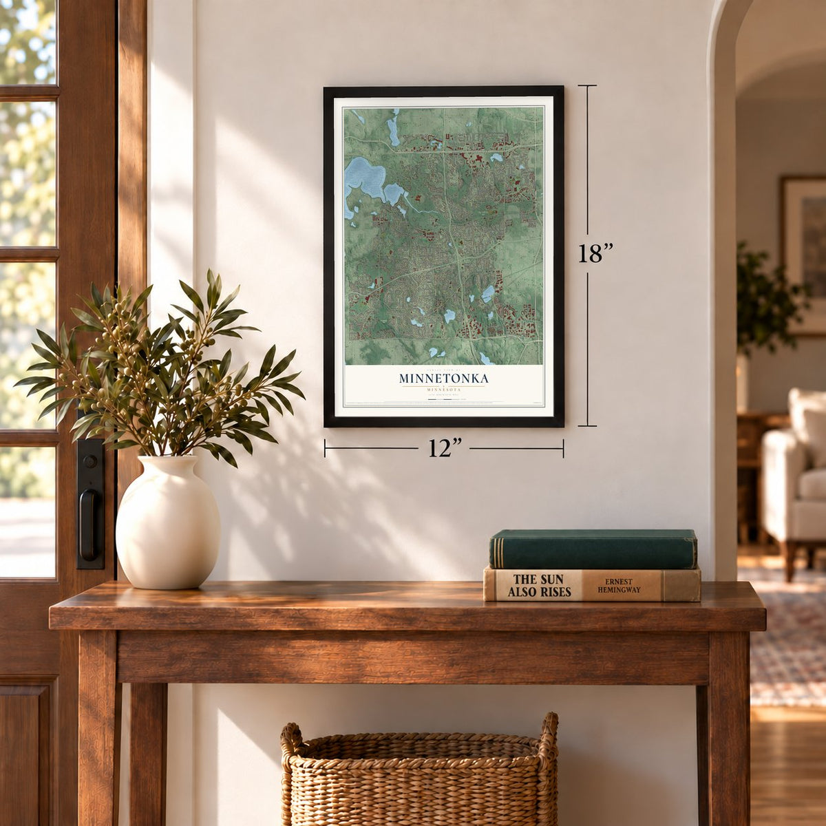
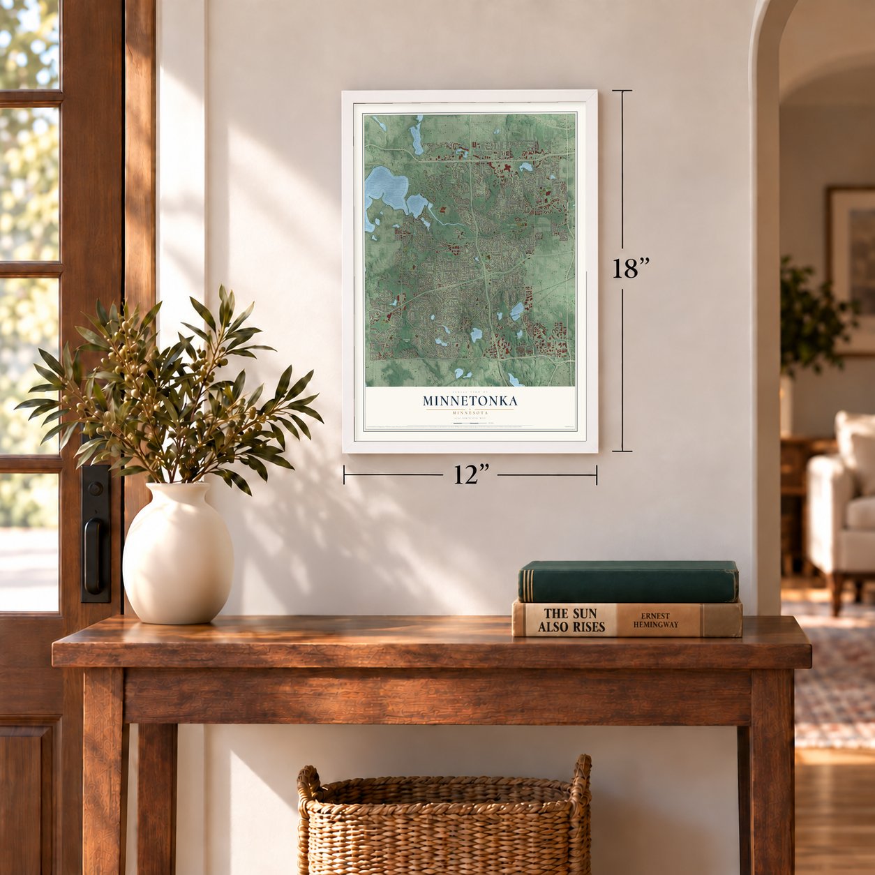
Unframed archival matte, a black wood frame or a white wood frame.
Up close
Geography Worth Displaying
This map was created using accurate cartographic data and authoritative geographic sources, including the U.S. Geological Survey and the Census Bureau. The map brings together terrain, waterways, roads, and building detail. The majority of the streets are labeled, houses are accurately depicted, and the topography is derived from government sources. Combining local data with carefully composed color and shading leads to this beautifully detailed Minnetonka artwork for your wall.
Rather than simply showing street outlines, we’ve included as many of the street names as we could reasonably fit on the map while keeping their names legible. Zoom in on the high resolution preview to see exactly what’s on the map. We truly set out to create a statement piece for anyone who loves Minnetonka. So whether it’s for you, or a gift for someone you love, we hope this map of Minnetonka brings back fond memories.
Read the story behind this map of Minnetonka, Minnesota from 2026.

About Minnetonka, Minnesota
Minnetonka is a city in Hennepin County whose landscape includes the eastern tip of Lake Minnetonka and Minnehaha Creek. The area was home to the Dakota before Euro-American settlement, and Minnetonka Mills became an early industrial and trading center. Although parts remained rural into the 1960s, the city later developed into a suburban community.
- Population in 2020The Census Bureau counted 53,781 residents in Minnetonka in 2020.
- Sawmill BeginningsA sawmill built near McGinty Road after an 1852 claim was Minnesota's first privately operated mill west of the Mississippi River.
- Bridge TimbersOak from the Minnetonka sawmill helped build the first suspension bridge across the Mississippi River at Saint Anthony Falls in 1853.
- Early Episcopal ChurchThe Reverend J. S. Chamberlain built St. John's Church in 1858, and Bishop Kemper consecrated it that year.
Find your street
Names on the Minnetonka map
Every name below is printed on this map. Look for your street, your school, the park where you played, or the pond down the road.
Places and landmarks12
- Minnetonka City Hall
- Oak Knoll
- Oak Terrace
- Glen Lake
- Big Willow Park
- Linner Park
- Lone Lake Park
- Purgatory Park
- Groveland
- Hopkins
- Minnetonka Mills
- Data Park
Streets and roads477
- Townline Road
- Plymouth Road
- Oakland Road
- Bren Road East
- Ridgemount Avenue West
- Bren Road West
- Wayzata Boulevard
- Smetana Drive
- Bren Road
- Vine Hill Road
- 17th Avenue North
- Old Excelsior Boulevard
- Holdridge Drive
- Minnetonka Boulevard
- Excelsior Boulevard
- Shady Oak Road
- Lake Street Extended
- Baker Road
- Williston Road
- McGinty Road West
- Highland Road
- Cedar Lake Road
- Ridgedale Drive
- Woodland Road
- Orchard Road
- Rowland Road
- Smetana Road
- Stone Road
- Tonkawood Road
- Carlson Parkway South
Show all 477 streets
- Woodhill Road
- Holiday Road
- Dominick Drive
- Ford Road
- Minnetonka Drive
- Scenic Heights Drive
- Gaywood Drive
- Highwood Drive
- Fairfield Road
- Mayview Road
- Delton Avenue
- Red Circle Drive
- Grays Bay Boulevard
- Crosby Road
- McGinty Road East
- Greenbrier Road
- Sparrow Road
- Clear Spring Road
- Covington Road
- Pioneer Road
- Linner Road
- Hillside Lane West
- Whitewater Drive
- Meeting Street
- Essex Road
- Ridgewood Road
- Inverness Road
- Hilloway Road West
- Woodridge Road
- Victoria Street
- Willowood Drive
- James Road
- Canterbury Drive
- Beacon Hill Road
- Kimberly Road
- Bellevue Drive
- Cedar Pass
- Live Oak Drive
- Minnetonka Mills Road
- Whited Avenue
- Woodruff Road
- Hanus Road
- Covington Terrace
- Crestview Lane
- Fairchild Avenue
- Robinwood Terrace
- Wilson Street
- Lake Shore Boulevard
- Avondale Street
- Sanibel Drive
- Larchwood Drive
- Marlborough Court
- Hamilton Road
- Wellington Road
- Crestridge Drive
- Elmwood Place
- Fairlawn Drive
- Eastwood Road
- Diane Drive
- Susan Lane
- Huntingdon Drive
- Oberlin Road
- Jorissen Road
- McKenzie Boulevard
- Temple Drive
- Creek Ridge Pass
- Clear View Drive
- Fairview Avenue
- Mayflower Avenue
- Dawn Drive
- Parkers Lake Road
- Chasewood Parkway
- Deerwood Drive
- K-Tel Drive
- Ringer Road
- Nolan Drive
- Woolman Drive
- Clear Spring Drive
- Westmill Road
- Belmont Road
- Caribou Drive
- Elmo Road
- Mahoney Avenue
- Prospect Place
- Minnehaha Place
- Oak Ridge Road
- Pompano Drive
- Merriam Road
- April Lane
- Scenic Drive
- Hampton Court
- Moorland Road
- Feltl Road
- Old Bren Road
- City View Drive
- Mount Terrace
- Williston Lane
- Gleason Lake Drive
- Steele Street
- Barbara Drive
- Highland Trail
- Crown Drive
- Michaele Lane
- Druid Lane
- Birch Road
- Cheshire Lane
- Berkshire Drive
- Lindbergh Drive
- Arbor Lane
- Welland Avenue
- Oakways
- Melody Lane
- Kinsel Road
- Devon Drive
- Cottage Lane
- Chase Drive
- South Lane
- Lee Way
- Atwater Street
- Merilee Drive
- Cove Drive
- Post Road
- Glendale Road
- Frear Drive
- Cimarron Trail
- Spring Lane
- Glenview Drive
- Cape Cod Place
- Forest Road
- Martha Lane
- Hull Road
- Creekside Lane
- Stewart Lane
- Corens Drive
- Priory Lane
- Ridgeview Drive
- Birch Lane
- Randall Lane
- Nursery Drive
- Oak Lea Drive
- Burwell Drive
- Birch Place
- Scenic Road
- Milbert Road
- Court Road
- Stodola Road
- Day Place
- Glendale Lane
- Sandra Lane
- Ann Lane
- Picha Road
- Bay Lane
- Bristol Lane
- Cityview Drive
- Manor Road
- Joy Lane
- Susan Drive
- Haven Road
- Lloyds Drive
- Kral Road
- Jane Lane
- Jidana Lane
- West Lane
- Oak Road
- Karyl Drive
- Clare Lane
- Lowell Street
- Leroy Street
- Elm Drive
- South Street
- Bell Circle
- Ridgedale Center
- Feltl Lane
- Blenheim Way
- Fairway Drive
- Xenium Lane
- Green Circle Drive
- Eden Prairie Road
- Spring Lake Road
- Park Valley Road
- Blue Circle Drive
- Indian Route West
- Saddlewood Drive
- Creek Ridge Trail
- Cherrywood Road
- Yellow Circle Drive
- Clearwater Drive
- Winterset Drive
- Fairfield Road South
- Briarwood Drive
- Stanton Drive
- Meadow Lane West
- Hidden Valley Road
- Bradford Road
- Stoneybrook Drive
- Robinwood Drive
- Kenmar Circle
- Traymore Road
- Sunset Drive South
- Westwood Road
- Skyview Road
- Junction Road
- Bantas Point Road
- Sunrise Drive East
- Knollway Drive North
- Temple Drive North
- Crescent Ridge Road
- Groveland School Road
- Thrushwood Lane
- Creek Road West
- Larkin Drive
- Vernon Drive South
- Woodgate Road South
- Kings Drive
- Fetterly Road West
- Oakton Drive
- Sylvan Road South
- Brown Lane
- Dwight Lane
- Wing Lake Drive
- Marion Lane West
- Auburn Drive
- Glen Avenue
- Shady Oak Drive
- Sequoia Drive
- Sussex Drive
- Wentworth Trail
- Cheshire Parkway
- Sheffield Curve
- Hillside Terrace
- Portico Drive
- Farmington Road
- Jordan Avenue South
- Woodbridge Trail
- Jordan Avenue
- Rogers Drive
- Powderhorn Drive
- Gladys Lane
- Boarshead Road
- Byrnes Road
- Lone Oak Drive
- Glen Moor Road East
- Lindsey Lane
- Lennell Drive
- Shores Boulevard
- Green Oak Drive
- Royal Oaks Drive
- Woodlawn Avenue
- Carleton Road
- Wyola Road
- Kingswood Terrace
- Windsor Lake Lane
- Cedar Hills Drive
- Golden Acre Drive
- Preston Road
- Eagle Ridge Drive
- Thomas Avenue
- Oakwood Road
- Horn Drive
- Brandbury Walk
- Westmark Drive
- Woody Lane
- Windyhill Road
- Baney Court
- Highland Lane
- Lakeland Road
- Douglynn Drive
- Oak Ridge Trail
- Saddlewood Lane
- Lake Rose Drive
- Ridge Road
- Lilac Lane
- Tamarack Drive
- Cedar Bend
- Patricia Lane
- Comet Lane
- Cedar Lane
- Glen Oak Street
- Sunny Road
- Crosby Cv
- Robin Lane
- Oak Drive
- Friar Lane
- Terrace Lane
- Ashcroft Road
- Therese Street
- Summit Lane
- Dublin Drive
- Ivy Lane
- Temple Road
- Creek Lane
- Victor Lane
- Prescott Drive
- Deer Hill Drive
- Tudor Road
- Willmatt Hill
- Crowne Hill Road
- Laura Lane
- Muriel Road
- Green Briar Drive
- North Street
- Grenier Road
- Woods Way
- Walker Place
- Smith Drive
- Camlot Drive
- West 62nd Street
- Louis Avenue
- West 55th Street
- Bay Street
- Maple Lane
- Duke Drive
- West 47th Street
- Pine Street
- Tree Street
- Jeffry Way
- Lynn Terrace
- Adelle Lane
- Ella Lane
- Dell Lane
- Timberline Road
- Beachside Drive
- Highland Heights Drive
- Sheridan Hills Road
- Rainbow Drive
- Cedarwood Ridge
- Fairhills Road West
- Fairwood Drive
- Park Ridge Drive West
- Sherwood Hills Road
- Woodhurst Lane
- White Pine Drive
- Maywood Lane
- Westgate Road
- Glenavon Avenue
- Wyngate Lane
- Deer Ridge Lane
- Mounthall Terrace
- Copperfield Place
- Cardinal Road
- Red Cherry Lane
- Woodhaven Road
- Breconwood Road
- Oakvale Road North
- Willoughby Way West
- Rocksborough Road
- Minnetonka Industrial Road
- Spring Crest Drive
- Chippewa Road
- Belwood Lane
- Sumac Lane
- Vista Drive
- Greenwood Trail
- Valewood Drive
- Idylwood Road
- Kingman Lane
- White Birch Road
- Peteler Lane
- Legacy Oaks Trail
- Sherwood Place
- Dynasty Drive
- Enclave Drive
- Miracle Lane
- Austrian Pine Lane
- Lexington Avenue
- Delta Avenue
- Oakton Ridge
- Bellham Avenue
- Woodhill Circle
- Waters Edge Drive
- Elm Lane
- Beaver Trail
- Ymca Lane
- Ferris Lane
- Black Oak Drive
- Mill Run
- Briar Lane
- West Oaks
- Oric Avenue
- Southridge Road
- Yorkshire Avenue South
- Ellerdale Road
- Church Lane
- Seymour Drive
- Westwood Circle
- Timberhill Road
- Oak Drive Lane
- Cottage Grove Avenue
- Vandan Road
- Green Valley Road
- Fairwood Lane
- Chantrey Place
- Tonkawood Drive
- Crestwood Drive
- Waterstone Place
- Holdridge Road
- Oak Knoll Terrace North
- Abbey Hill Drive
- Barrington Court
- Queens Way
- Townes Road
- Nantucket Road
- Gatewood Drive
- High Park Drive
- Hutchins Drive
- White Oak Road
- Forest Meadow Drive
- Elodie Lane
- Cherry Lane
- Shady Dale Road
- Culligan Way
- Cedar Hills Boulevard
- Kensington Court
- Elm Circle
- Breckenridge Road
- Totem Trail
- Hermitage Way
- Red Oak Ridge
- Bluebird Lane
- Lorry Lane West
- Hazelwood Road
- Robinwood Lane
- Hilltop Road
- Tonka Trail
- Wood Knoll Lane
- Townes Lane
- Crawford Road
- Black Oaks Circle
- Atrium Way
- Locust Hills Terrace
- Inwood Road
- Temple Lane
- Black Friars Lane
- Binger Court
- Tonka Lane
- Tonkawa Trail
- Sandy Lane
- Smetana Court
- Dvorak Road
- Temple Way
- Dumas Avenue
- Willow Lane
- Regal Oak
- Linnea Lane
- Marcy Lane
- Farm Lane
- Amy Lane
Names are listed as they appear on the printed map. Zoom into the product photos to find them.
The art of mapping a place
How This Map Was Made
Real places. Remarkable detail. Discover the layers that turn geographic data into a map of home.

The view from above
Aerial imagery reveals the character of the land: woodland, open fields, and the patterns of a place.

The shape of the land
Elevation data brings hills, valleys, and subtle changes in the landscape into view.

The details of home
Roads, waterways, and building footprints come together to make the map feel unmistakably local.

Geography becomes art
Considered color, shading, and typography bring the layers together in a map made for your wall.


Process illustrated with Mendon, Massachusetts. Aerial imagery: USDA NAIP. Terrain: USGS 3D Elevation Program. Map details and finished artwork: KNOWOL.
The Details
About This Print
Choose an archival matte print, or a black or white Ayous wood frame. The archival matte print is unframed.
Select your size and finish above to see the matching product image and price.
Materials & Craftsmanship
A contemporary map with the character of a classic atlas, printed on archival matte paper. Optional frames are made from Ayous wood.
Your printed map does not include the watermark shown in the full-map preview.
Shipping & Delivery
Free shipping within the United States. Every print is made to order in the USA.
Buying a gift? Add a note in your cart and we'll include it. We never put prices in the package.
Prints ship within 2 to 3 business days. Allow 7 to 10 days total from ordering for delivery. Timing may vary during holidays or periods of high order volume.
Read our shipping policy.
Returns and damaged prints
Each print is made to order. Change-of-mind refunds are not available after production.
If your print arrives damaged, misprinted or incorrect, contact support@knowol.com within 30 days of receiving it. Include your order number, photos and a description of the issue.
Read our full refund and replacement policy. For questions about your order, email support@knowol.com.
Find your town
Looking for another city?
Find a map of home in our Minnesota collection, or any town in the country.
Nearby
Maps of towns near Minnetonka
Know someone from one of these towns? Their map makes a great gift.
 Hopkins
, Minnesota
From $39.99See the map
 Woodland
, Minnesota
From $39.99See the map
 Deephaven
, Minnesota
From $39.99See the map
More maps nearby: Wayzata, St. Louis Park, Medicine Lake, Greenwood and Edina.