
Search for another town




Free U.S. delivery 7 to 10 days after you order
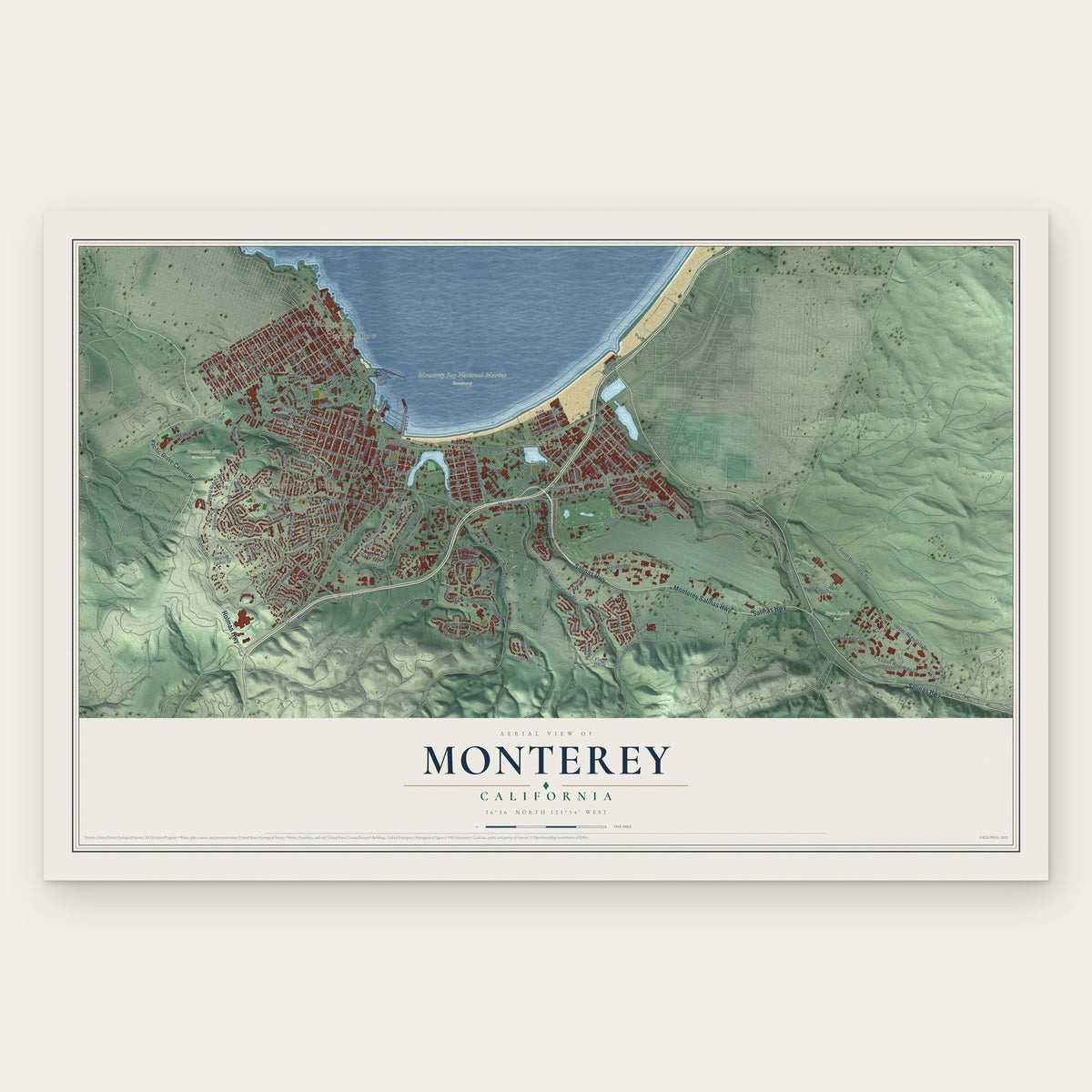
Monterey, California Map Art
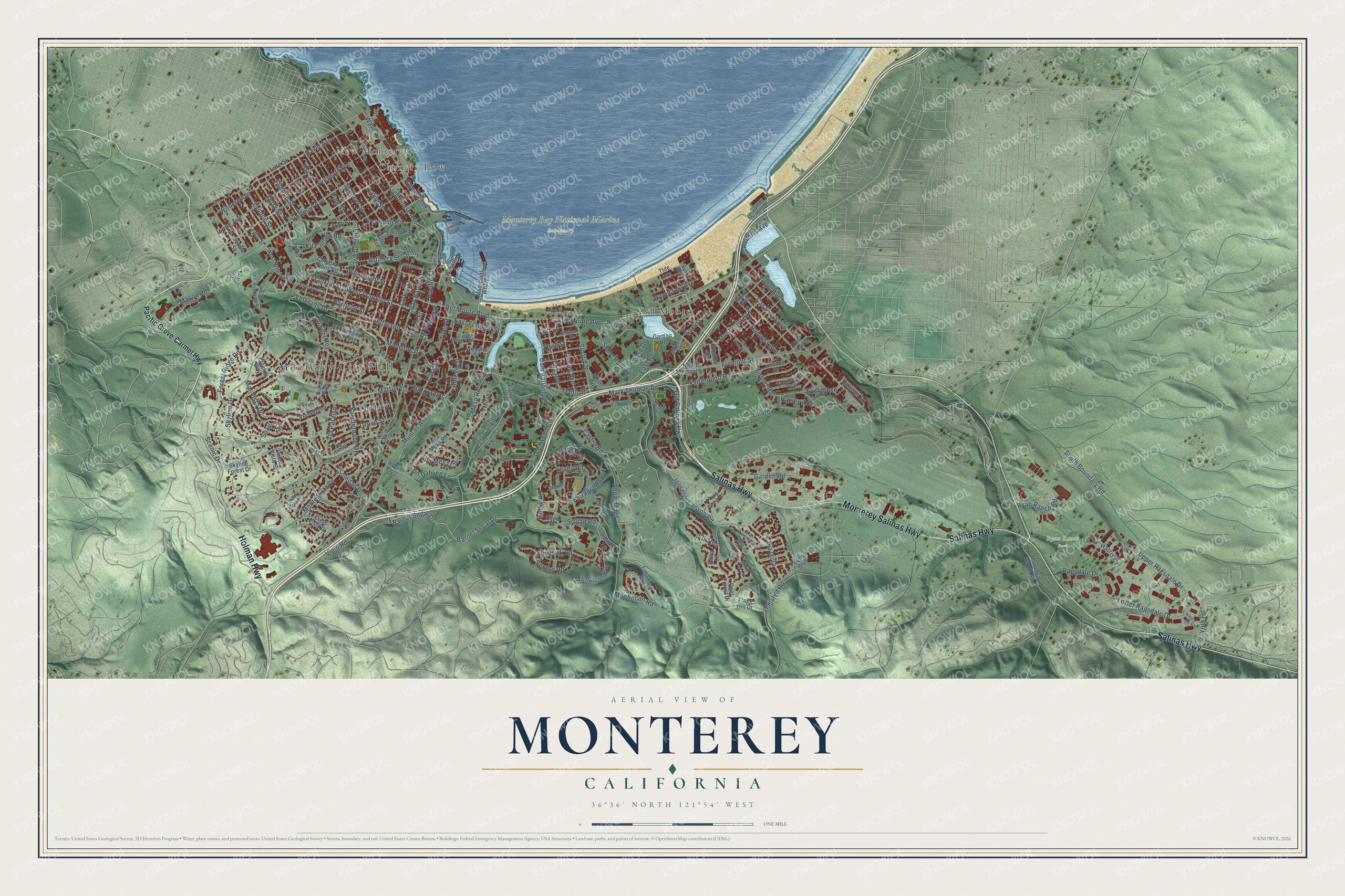
A new map of Monterey, California, made in 2026 and printed to order on thick archival matte paper.
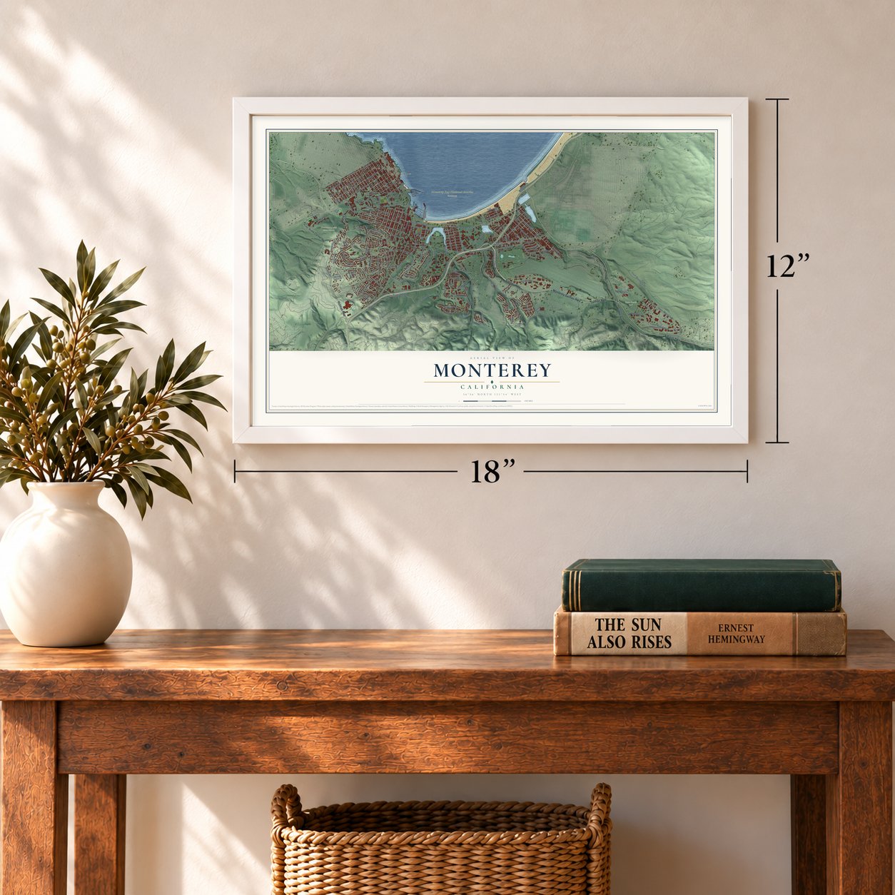
12" x 18" Archival Matte Print
A Map of Home. A Work of Art.
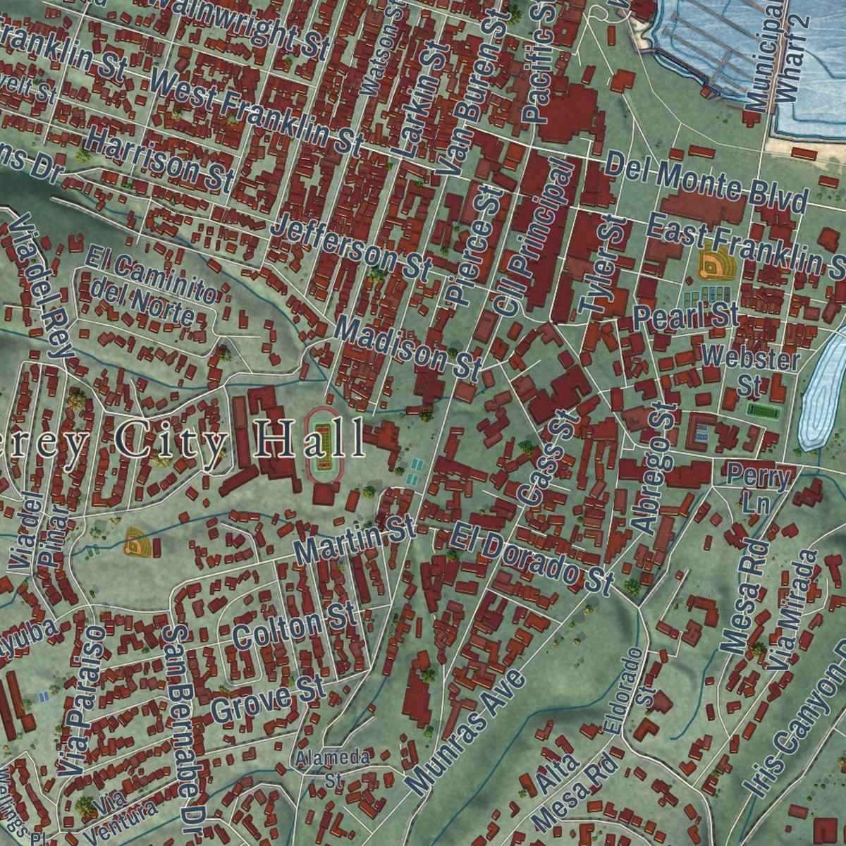
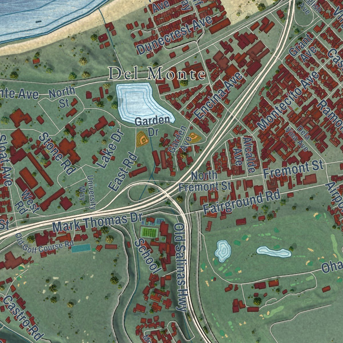
Explore Monterey, California from a whole new perspective. Created using aerial imagery and detailed geographic data, this map captures Monterey building by building, with labeled streets, familiar landmarks, and shaded topographical relief that highlights the natural contours of the landscape.
Combining modern data with the timeless character of a vintage atlas, this map is just as interesting up close as it is beautiful on the wall. Whether you grew up in Monterey, spent memorable years there, or call it home today, this unique map is a great way to celebrate a place that means something to you. Zoom in on the preview to look for your street, and then order a print to put your memories on the wall.
Three ways to hang it
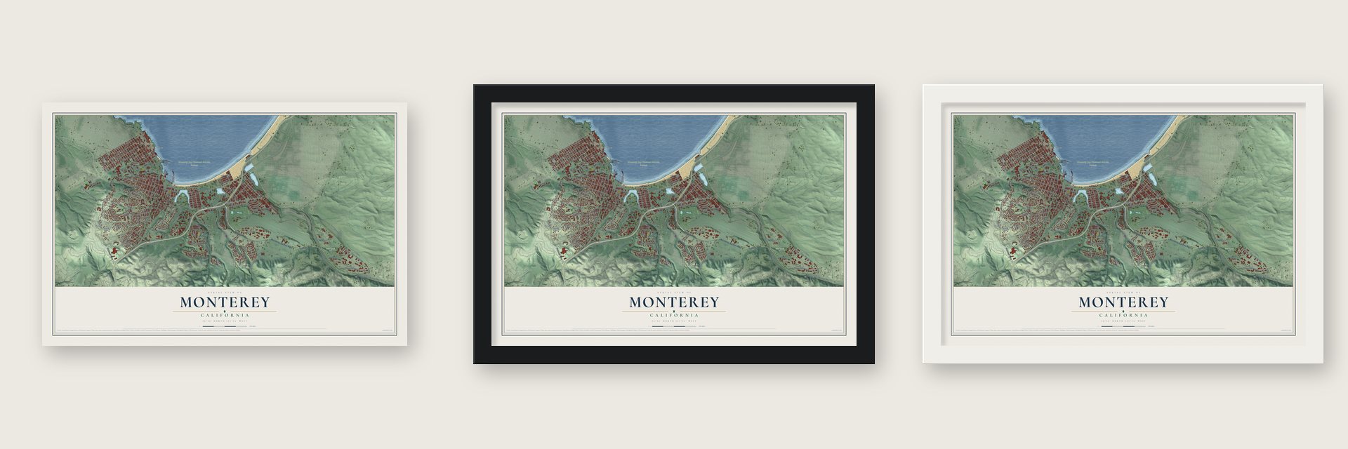
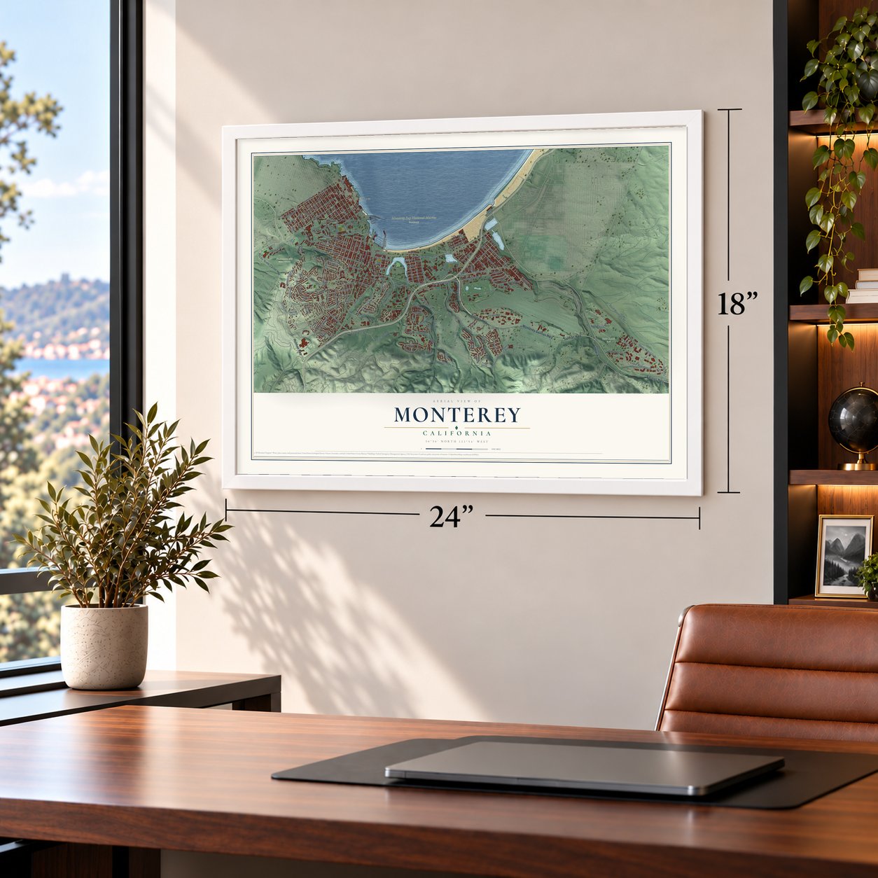
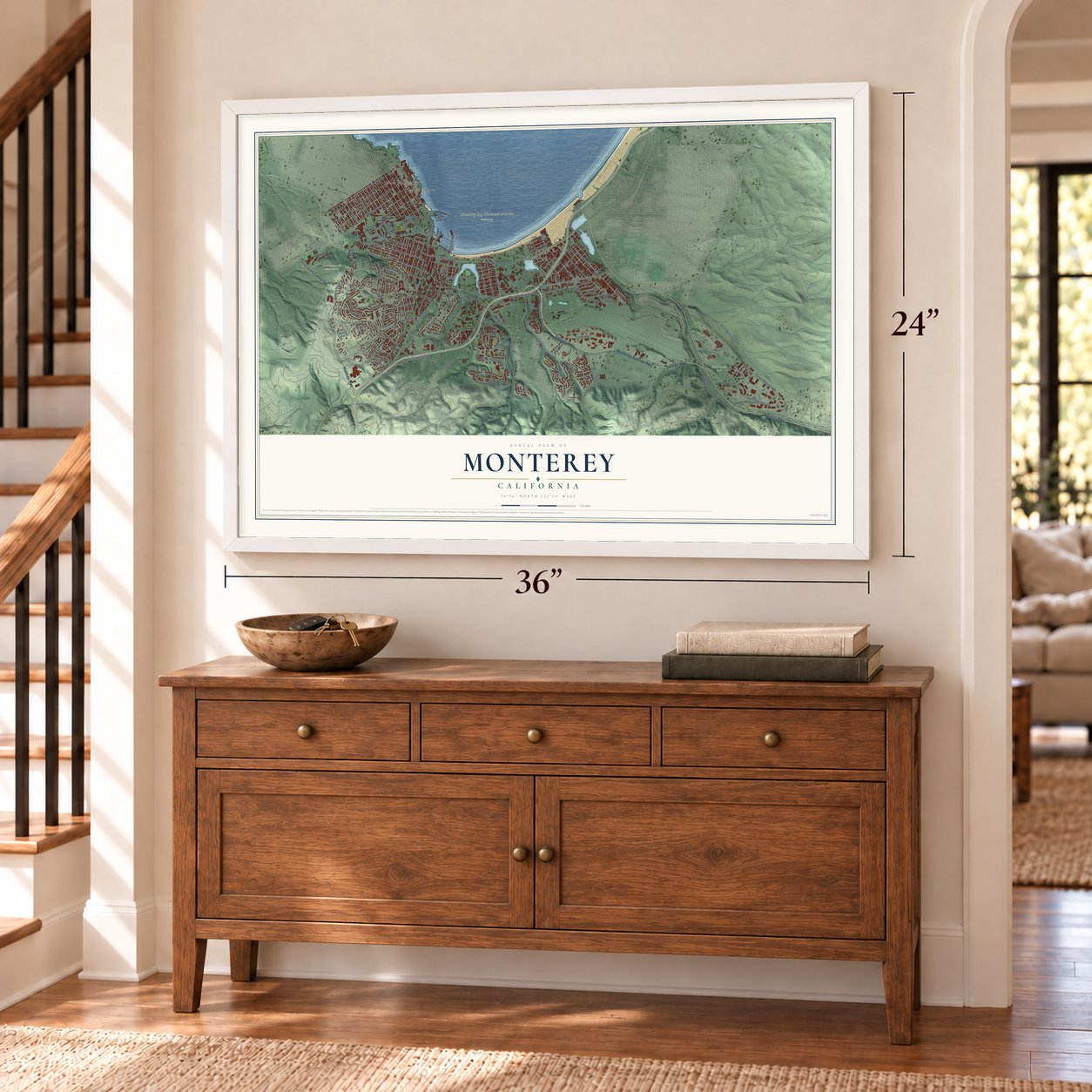
Unframed archival matte, a black wood frame or a white wood frame.
Up close
Geography Worth Displaying
This map was created using accurate cartographic data and authoritative geographic sources, including the U.S. Geological Survey and the Census Bureau. The map brings together terrain, waterways, roads, and building detail. The majority of the streets are labeled, houses are accurately depicted, and the topography is derived from government sources. Combining local data with carefully composed color and shading leads to this beautifully detailed Monterey artwork for your wall.
Rather than simply showing street outlines, we’ve included as many of the street names as we could reasonably fit on the map while keeping their names legible. Zoom in on the high resolution preview to see exactly what’s on the map. We truly set out to create a statement piece for anyone who loves Monterey. So whether it’s for you, or a gift for someone you love, we hope this map of Monterey brings back fond memories.
Read the story behind this map of Monterey, California from 2026.

About Monterey, California
Monterey is a city of 30,218 people in Monterey County, on the southern shore of Monterey Bay. Sebastián Vizcaíno anchored in its harbor on December 16, 1602, and named it for the Conde de Monterrey, the viceroy of New Spain. When the Portolá expedition came looking for that harbor in 1769, the men walked right past it without knowing it. Gaspar de Portolá came back by land the next year and built the Presidio of Monterey, and on June 3, 1770, Junípero Serra founded a church inside its walls.
Monterey became the capital of both Californias in 1777, and it kept that role under Mexico after 1821. The Mexican-American War reached the town on July 7, 1846, when Commodore John D. Sloat raised the U.S. flag over the Custom House and took possession of California for his country. The town stayed the seat of the new American government until 1849, when delegates met at Colton Hall to write the state's first constitution in English and Spanish. Monterey was incorporated in 1890.
“We halted in sight of the Point of Pines (recognized, as was said, in the beginning of October) and camped near a small lagoon which has rather muddy water, but abounds in pasture and firewood.”
- The Argentine flag in 1818On November 24, 1818, the Argentine privateer Hippolyte Bouchard slipped ashore by way of a hidden tidal creek and took the presidio after about an hour of fighting. His men held Monterey for six days. They burned the fort, the governor's residence and several homes and took livestock, but they did not harm the townspeople. Then they sailed away to keep raiding along the Pacific coast.
- California's oldest stone churchSerra soon moved his mission to Carmel, and the presidio's church stayed behind for the soldiers. Fire destroyed it in 1789, and Indian laborers finished the sandstone church that replaced it in 1794. Now the Cathedral of San Carlos Borromeo, it is California's oldest stone building and the only building left from the original presidio.
- Historic Landmark Number OneEvery ship bringing taxable goods into California had to clear the Custom House, the oldest government building in the state. Work on it began under Spain in 1814. Mexico completed its middle part in 1827, and the Americans added the lower end in 1846. California counts it as its Historic Landmark Number One.
- The first press and newspaperIn the summer of 1834, Agustín V. Zamorano carried California's first printing press to Monterey. On August 15, 1846, Walter Colton, the town's first American alcalde, and Robert Semple started The Californian here, the first American newspaper in California.
Find your street
Names on the Monterey map
Every name below is printed on this map. Look for your street, your school, the park where you played, or the pond down the road.
Places and landmarks7
- Monterey City Hall
- Huckleberry Hill Nature Preserve
- Monterey Bay National Marine Sanctuary
- Ryan Ranch Park
- Cannery Row
- Del Monte
- New Monterey
Streets and roads194
- Holman Highway
- Monterey Salinas Highway
- Salinas Highway
- Ohare
- Roberts Avenue
- Martin Street
- Del Monte Boulevard
- Shubrick Road
- Line Street
- Pierce Street
- Mark Thomas Drive
- San Bernabe Drive
- El Dorado Street
- Pearl Street
- Fairground Road
- Wainwright Street
- Third Street
- Fremont Street
- Lighthouse Avenue
- Franklin Street
- Farragut Road
- Del Monte Avenue
- Skyline Drive
- Mar Vista Drive
- Pacific Street
- Munras Avenue
- Garden Road
- Josselyn Canyon Road
- Aguajito Road
- South Boundary Road
Show all 194 streets
- Veterans Drive
- Scenic Drive
- David Avenue
- Prescott Avenue
- Irving Avenue
- Soledad Drive
- Casanova Avenue
- Sylvan Road
- Pvt Bolio Road
- Iris Canyon Road
- Mason Road
- Barnet Segal Drive
- Glenwood Circle
- Barnet Segal Lane
- Hoffman Avenue
- Leahy Road
- West Franklin Street
- Ramona Avenue
- Upper Ragsdale Drive
- Via del Rey
- Montecito Avenue
- Kit Carson Road
- Jefferson Street
- Bergin Drive
- Lower Ragsdale Drive
- Laine Street
- Madison Street
- Van Buren Street
- Via Paraiso
- Spencer Street
- Don Dahvee Lane
- Forest Ridge Road
- Monhollan Road
- Castro Road
- Viejo Road
- Larkin Street
- Cam Aguajito
- Pine Street
- Withers Avenue
- Cass Street
- Park Avenue
- Airport Road
- Artillery Street
- Harrison Street
- Sloat Avenue
- Ocean Avenue
- Alta Mesa Circle
- Wave Street
- Olmsted Road
- Colton Street
- Ryan Ranch Road
- Lily Street
- Leidig Road
- Mesa Road
- Michelson Road
- Old Salinas Highway
- East Franklin Street
- Via Isola
- Abrego Street
- Filmore Street
- Monte Vista Drive
- Lake Drive
- Terry Street
- Lyndon Street
- Encina Avenue
- Tyler Street
- East Road
- Cll Principal
- Ragsdale Drive
- Revere Road
- Dunecrest Avenue
- Virgin Avenue
- Tenth Street
- Stillwell Avenue
- Ralston Drive
- Halsey Avenue
- Euclid Avenue
- First Street
- Shady Lane
- Grove Street
- York Road
- Elk Run
- Stone Road
- School
- Harris Court
- Pacific Grove-Carmel Highway
- Corporal Evans Road
- Monterra Ranch Road
- Littlefield Road
- North Fremont Street
- Fishnet Road
- Cuesta Vista Drive
- Deer Forest Drive
- Via Gayuba
- Via Mirada
- Oak Street
- Cielo Vista Drive
- Infantry Street
- Army Street
- Webster Street
- Taylor Street
- Flagg Hill Drive
- Lawton Road
- Via del Pinar
- West Rifle Range Road
- Jessie Street
- Ssg Fronins Street
- El Caminito del Norte
- Alta Mesa Road
- West Road
- Municipal Wharf 2
- Pinehill Way
- Garden Drive
- Edinburgh Avenue
- Skyline Forest Drive
- Dundee Drive
- Grant Avenue
- Ewing Road
- Surf Way
- Sand Dunes Drive
- Patton Avenue
- Foothill Boulevard
- Serra Avenue
- Tide Avenue
- North Street
- Dana Place
- Alcalde Avenue
- Fawn Lane
- Wharf 1
- Oro Road
- Kolb Avenue
- Wilks Lane
- Perry Lane
- Roosevelt Street
- Watson Street
- Eldorado Street
- Second Street
- Via Ventura
- Garden Avenue
- Twin Oaks Road
- Linda Vista Place
- Decatur Street
- Via Marettimo
- White Tail Lane
- Dela Vina Avenue
- Montsalas Drive
- Alameda Street
- English Avenue
- Del Monte Center
- Old Golf Course Road
- Mervine Street
- University Way
- Deer Stalker Path
- Via Lavandera
- Via Castanada
- Moreell Circle
- Halsey Drive
- Seeno Street
- Wilson Road
- Halleck Road
- Wellings Place
- Yerba Buena Court
- Justin Court
- La Playa Street
Names are listed as they appear on the printed map. Zoom into the product photos to find them.
The art of mapping a place
How This Map Was Made
Real places. Remarkable detail. Discover the layers that turn geographic data into a map of home.

The view from above
Aerial imagery reveals the character of the land: woodland, open fields, and the patterns of a place.

The shape of the land
Elevation data brings hills, valleys, and subtle changes in the landscape into view.

The details of home
Roads, waterways, and building footprints come together to make the map feel unmistakably local.

Geography becomes art
Considered color, shading, and typography bring the layers together in a map made for your wall.


Process illustrated with Mendon, Massachusetts. Aerial imagery: USDA NAIP. Terrain: USGS 3D Elevation Program. Map details and finished artwork: KNOWOL.
The Details
About This Print
Choose an archival matte print, or a black or white Ayous wood frame. The archival matte print is unframed.
Select your size and finish above to see the matching product image and price.
Materials & Craftsmanship
A contemporary map with the character of a classic atlas, printed on archival matte paper. Optional frames are made from Ayous wood.
Your printed map does not include the watermark shown in the full-map preview.
Shipping & Delivery
Free shipping within the United States. Every print is made to order in the USA.
Buying a gift? Add a note in your cart and we'll include it. We never put prices in the package.
Prints ship within 2 to 3 business days. Allow 7 to 10 days total from ordering for delivery. Timing may vary during holidays or periods of high order volume.
Read our shipping policy.
Returns and damaged prints
Each print is made to order. Change-of-mind refunds are not available after production.
If your print arrives damaged, misprinted or incorrect, contact support@knowol.com within 30 days of receiving it. Include your order number, photos and a description of the issue.
Read our full refund and replacement policy. For questions about your order, email support@knowol.com.
Find your town
Looking for another city?
Find a map of home in our California collection, or any town in the country.
Nearby
Maps of towns near Monterey
Know someone from one of these towns? Their map makes a great gift.
 Sand City
, California
From $39.99See the map
 Pacific Grove
, California
From $39.99See the map
 Del Rey Oaks
, California
From $39.99See the map
More maps nearby: Del Monte Forest, Carmel-by-the-Sea, Seaside, Marina and Carmel Valley Village.