
Search for another town




Free U.S. delivery 7 to 10 days after you order
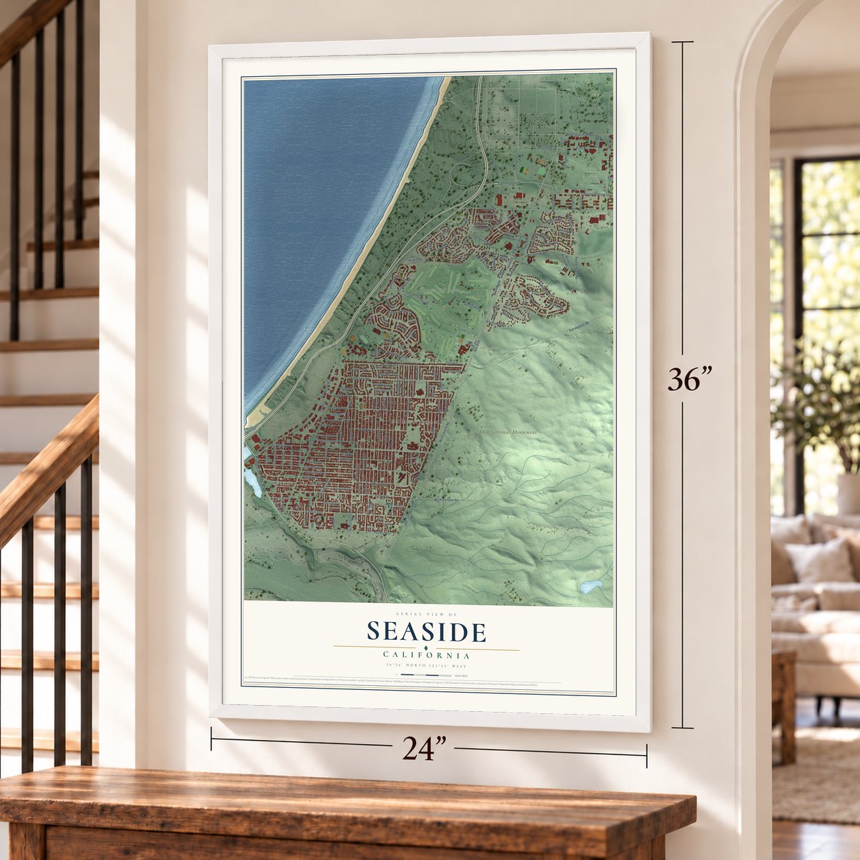
Seaside, California Map Art
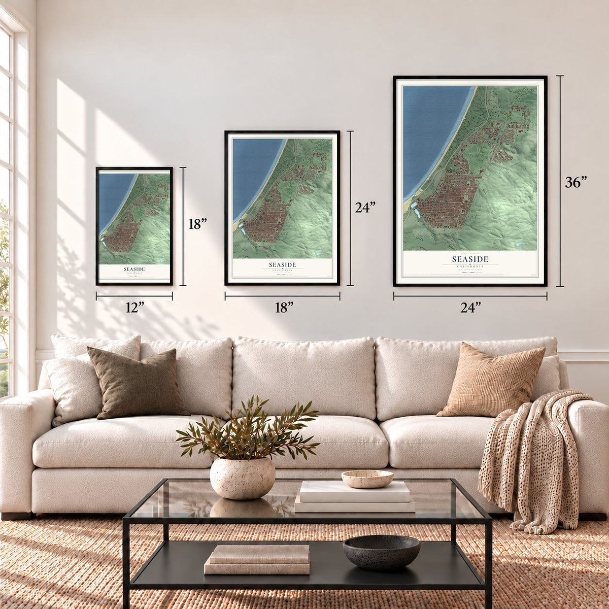
A new map of Seaside, California, made in 2026 and printed to order on thick archival matte paper.
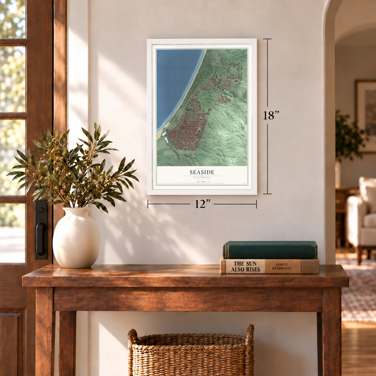
12" x 18" Archival Matte Print
A Map of Home. A Work of Art.
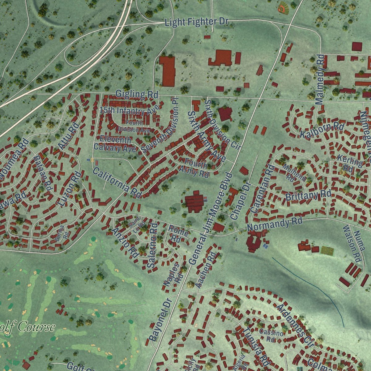
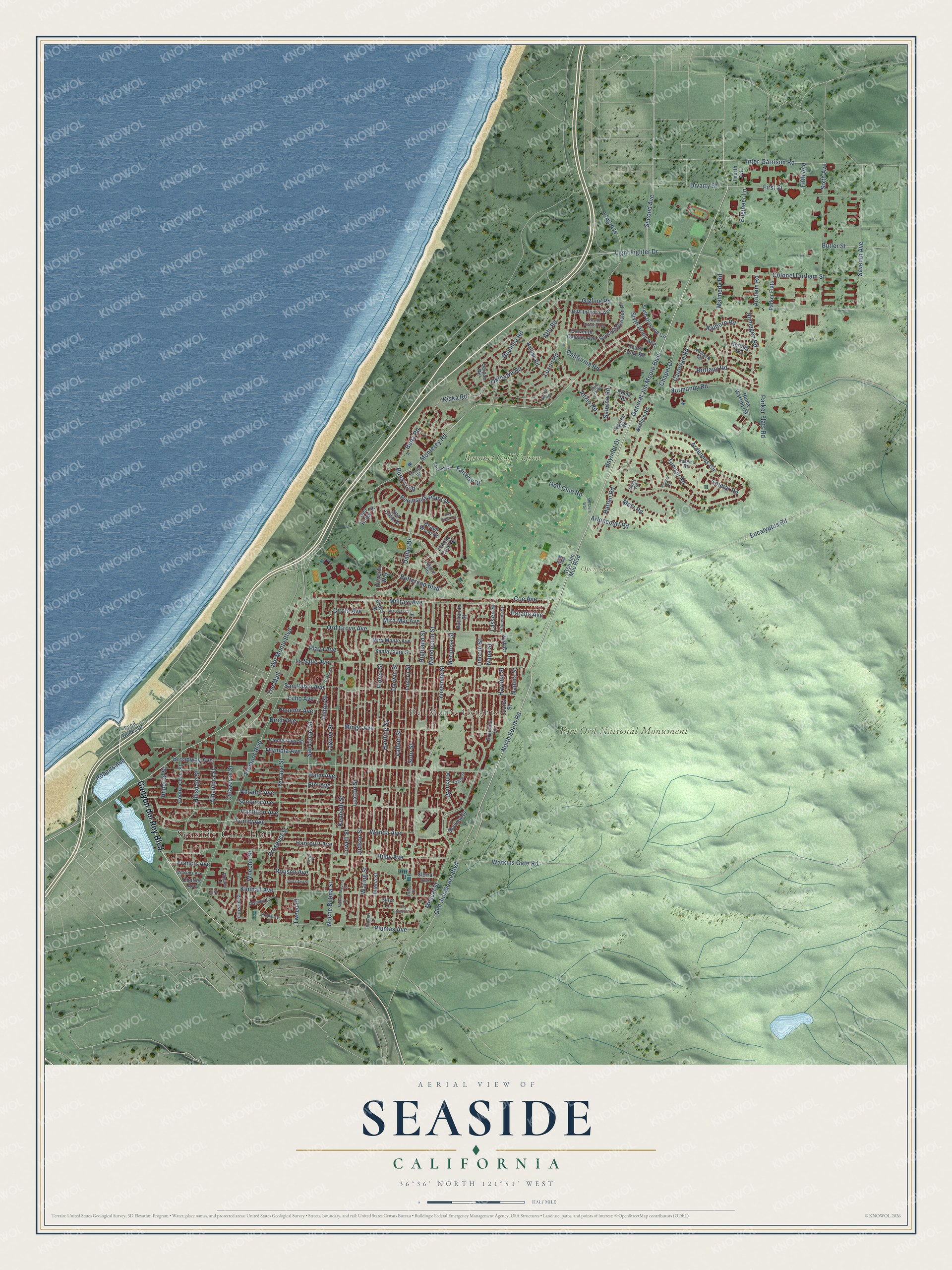
Explore Seaside, California from a whole new perspective. Created using aerial imagery and detailed geographic data, this map captures Seaside building by building, with labeled streets, familiar landmarks, and shaded topographical relief that highlights the natural contours of the landscape.
Combining modern data with the timeless character of a vintage atlas, this map is just as interesting up close as it is beautiful on the wall. Whether you grew up in Seaside, spent memorable years there, or call it home today, this unique map is a great way to celebrate a place that means something to you. Zoom in on the preview to look for your street, and then order a print to put your memories on the wall.
Three ways to hang it
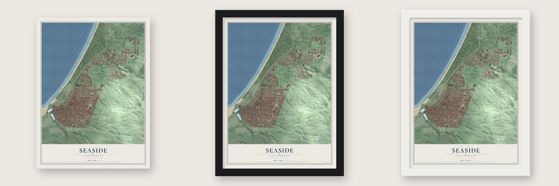
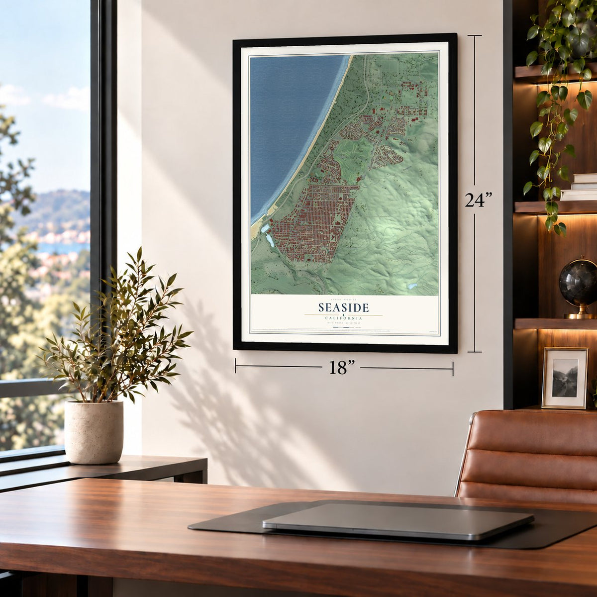
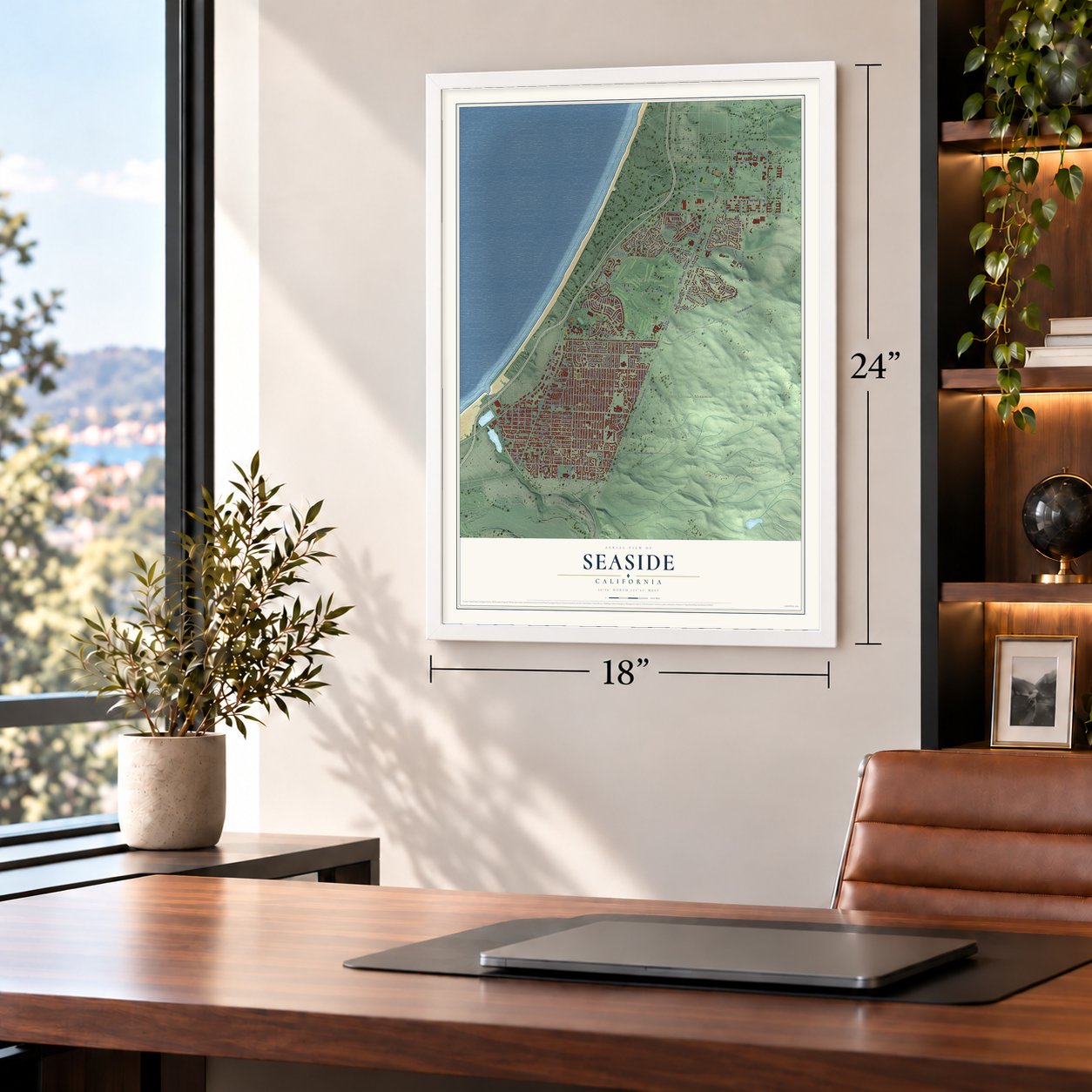
Unframed archival matte, a black wood frame or a white wood frame.
Up close
Geography Worth Displaying
This map was created using accurate cartographic data and authoritative geographic sources, including the U.S. Geological Survey and the Census Bureau. The map brings together terrain, waterways, roads, and building detail. The majority of the streets are labeled, houses are accurately depicted, and the topography is derived from government sources. Combining local data with carefully composed color and shading leads to this beautifully detailed Seaside artwork for your wall.
Rather than simply showing street outlines, we’ve included as many of the street names as we could reasonably fit on the map while keeping their names legible. Zoom in on the high resolution preview to see exactly what’s on the map. We truly set out to create a statement piece for anyone who loves Seaside. So whether it’s for you, or a gift for someone you love, we hope this map of Seaside brings back fond memories.
Read the story behind this map of Seaside, California from 2026.

About Seaside, California
Seaside is a city of 32,366 people in Monterey County, at the southern end of Monterey Bay. Dr. John L. D. Roberts left New York for California in 1887 and made his home near relatives in Pacific Grove. The next year he bought 160 acres from his uncle, David Houghton, and laid out a resort subdivision of Monterey that he called East Monterey.
A post office opened under the East Monterey name in 1891, and Southern Pacific trains stopped there on the Monterey Branch. By 1899 the community had become Seaside. In 1910 Roberts invited the U.S. Army to set up Camp Gigling on part of his land. Seaside remained part of Monterey until 1954, when it incorporated as its own city with Jack Oldemeyer as its first mayor.
- A Black community in the 1960sBy the mid-1960s, about 6,000 of Seaside's 22,000 residents were African-American. That was more than a quarter of the city, and the largest concentration of African-Americans anywhere between San Francisco and Los Angeles.
- Combat Corner on Fort OrdBayonet Golf Course was designed in 1954 on the Fort Ord base and named for the Army's 7th Infantry Division. Legend says it was laid out to suit the bad slice of the commanding officer, Major General Robert B. McClure, which is why a run of sharp doglegs is nicknamed Combat Corner.
- Army golf opened in 1997Black Horse, a second course named for the 11th Cavalry, followed in 1964. Only soldiers could play the two courses until 1997, when the City of Seaside bought them and opened them to everyone. In 2012 they hosted the PGA Professional National Championship.
- Fort Ord National MonumentThe grounds of the old Fort Ord now hold California State University, Monterey Bay, and the Monterey College of Law. The open land beyond them became Fort Ord National Monument on April 20, 2012, and Seaside serves as its gateway.
- Ron Rivera, class of 1980Ron Rivera graduated from Seaside High School in 1980, played linebacker for the Chicago Bears and became head coach of the NFL's Washington Commanders.
Find your street
Names on the Seaside map
Every name below is printed on this map. Look for your street, your school, the park where you played, or the pond down the road.
Places and landmarks5
- Seaside City Hall
- Del Monte Heights
- Fort Ord National Monument
- Open space
- Bayonet Golf Course
Streets and roads182
- Canyon del Rey Boulevard
- North South Road
- General Jim Moore Boulevard
- Del Monte Boulevard
- Darwin Street
- Judson Street
- Light Fighter Drive
- Vallejo Street
- Monterey Road
- Waring Street
- Peninsula Point Drive
- Luxton Street
- Ord Grove Avenue
- Roberts Avenue
- Dahlia Drive
- Gen Jim Moore Boulevard
- Buna Loop
- Fremont Boulevard
- Normandy Road
- Noche Buena Street
- Gigling Road
- Ardennes Circle
- Broadway Avenue
- Hilby Avenue
- Sonoma Avenue
- Yosemite Street
- Eucalyptus Road
- Mescal Street
- Coe Avenue
- Elm Avenue
Show all 182 streets
- San Pablo Avenue
- Military Avenue
- La Salle Avenue
- Kimball Avenue
- First Street
- Trinity Avenue
- Watkins Gate Road
- Luzern Street
- Divarty Street
- Highland Street
- Wanda Avenue
- Harcourt Avenue
- Harding Street
- Okinawa Road
- Soto Street
- Hamilton Avenue
- Amador Avenue
- Flores Street
- Lowell Street
- Luzon Road
- Buna Road
- Parker Flats Road
- Metz Road
- Palm Avenue
- Kenneth Street
- Seventh Avenue
- Sixth Avenue
- San Lucas Street
- Mendocino Street
- Colonel Durham Street
- Plumas Avenue
- Olympia Avenue
- Second Avenue
- Noumea Road
- Carentan Road
- First Avenue
- Inter-Garrison Road
- California Road
- Mingo Avenue
- Malmedy Road
- Tunisia Road
- The Mall
- Brittany Road
- Laguna Street
- Terrace Street
- Hillsdale Street
- Colmar Road
- Napa Street
- Fairway Drive
- Rousch Avenue
- Golf Club Road
- Hilton Street
- Wheeler Street
- Alhambra Street
- Circle Avenue
- Havana Street
- Nijmegen Road
- Kalborn Road
- Phoenix Avenue
- Calaveras Street
- Mariposa Street
- Arloncourt Road
- Buttercup Boulevard
- Anzio Road
- Playa Avenue
- Lincoln Street
- Paralta Avenue
- Sixth Army Avenue
- Hatten Road
- Engineer Lane
- Chapel Drive
- Echo Avenue
- Bayonet Drive
- Prospect Street
- Kiska Road
- Ancon Street
- Mira Mar Avenue
- Francis Avenue
- Birch Avenue
- Attu Road
- Butler Street
- Tweed Place
- Salerno Road
- Imperial Street
- Arnhem Road
- Lassen Street
- Nadina Street
- Fifth Avenue
- Wisteria Way
- Seventh Division Place
- Sierra Avenue
- Park Court
- Clementina Street
- Bataan Road
- Skyview Drive
- Contra Costa Street
- Numa Watson Road
- Granada Street
- Fourth Army Road
- Juarez Street
- Carson Street
- Naples Road
- 15th Infantry Avenue
- Eleventh Calvary Avenue
- Sixth Division Circle
- Mira Monte Avenue
- Santa Clara Street
- Parker Flats
- Pacific Crest Drive
- Sea Crest Drive
- Sand Dunes Drive
- Aachen Road
- Cross Street
- Buchanan Street
- Kerling Road
- Gen Jim Moo Boulevard
- Fourth Avenue
- Saipan Road
- Sea Ridge Court
- Buena Street
- Beach Wood Drive
- Charles Avenue
- Rome Road
- Siller Lane
- Fairway Court
- Hibicus Heights
- Cassino Road
- Mulheim Road
- Williams Avenue
- Hacienda Street
- Plumas Lane
- Costa Street
- Olympic Lane
- Russell Lane
- Sicily Road
- Baker Street
- McClure Way
- Highlander Drive
- Fourth Division Avenue
- Bay Crest Circle
- Alta Vista Court
- Aleutian Road
- Santa Ana Street
- Saint Lo Road
- Algeria Road
- La Honda Court
- Madera Court
- Madrid Court
- Burma Road
- Cantu Court
- Fargo Court
- Hart Street
Names are listed as they appear on the printed map. Zoom into the product photos to find them.
The art of mapping a place
How This Map Was Made
Real places. Remarkable detail. Discover the layers that turn geographic data into a map of home.

The view from above
Aerial imagery reveals the character of the land: woodland, open fields, and the patterns of a place.

The shape of the land
Elevation data brings hills, valleys, and subtle changes in the landscape into view.

The details of home
Roads, waterways, and building footprints come together to make the map feel unmistakably local.

Geography becomes art
Considered color, shading, and typography bring the layers together in a map made for your wall.


Process illustrated with Mendon, Massachusetts. Aerial imagery: USDA NAIP. Terrain: USGS 3D Elevation Program. Map details and finished artwork: KNOWOL.
The Details
About This Print
Choose an archival matte print, or a black or white Ayous wood frame. The archival matte print is unframed.
Select your size and finish above to see the matching product image and price.
Materials & Craftsmanship
A contemporary map with the character of a classic atlas, printed on archival matte paper. Optional frames are made from Ayous wood.
Your printed map does not include the watermark shown in the full-map preview.
Shipping & Delivery
Free shipping within the United States. Every print is made to order in the USA.
Buying a gift? Add a note in your cart and we'll include it. We never put prices in the package.
Prints ship within 2 to 3 business days. Allow 7 to 10 days total from ordering for delivery. Timing may vary during holidays or periods of high order volume.
Read our shipping policy.
Returns and damaged prints
Each print is made to order. Change-of-mind refunds are not available after production.
If your print arrives damaged, misprinted or incorrect, contact support@knowol.com within 30 days of receiving it. Include your order number, photos and a description of the issue.
Read our full refund and replacement policy. For questions about your order, email support@knowol.com.
Find your town
Looking for another city?
Find a map of home in our California collection, or any town in the country.
Nearby
Maps of towns near Seaside
Know someone from one of these towns? Their map makes a great gift.
 Sand City
, California
From $39.99See the map
 Del Rey Oaks
, California
From $39.99See the map
 Monterey
, California
From $39.99See the map
More maps nearby: Marina, Pacific Grove, Carmel-by-the-Sea, Del Monte Forest and Boronda.