
Search for another town




Free U.S. delivery 7 to 10 days after you order
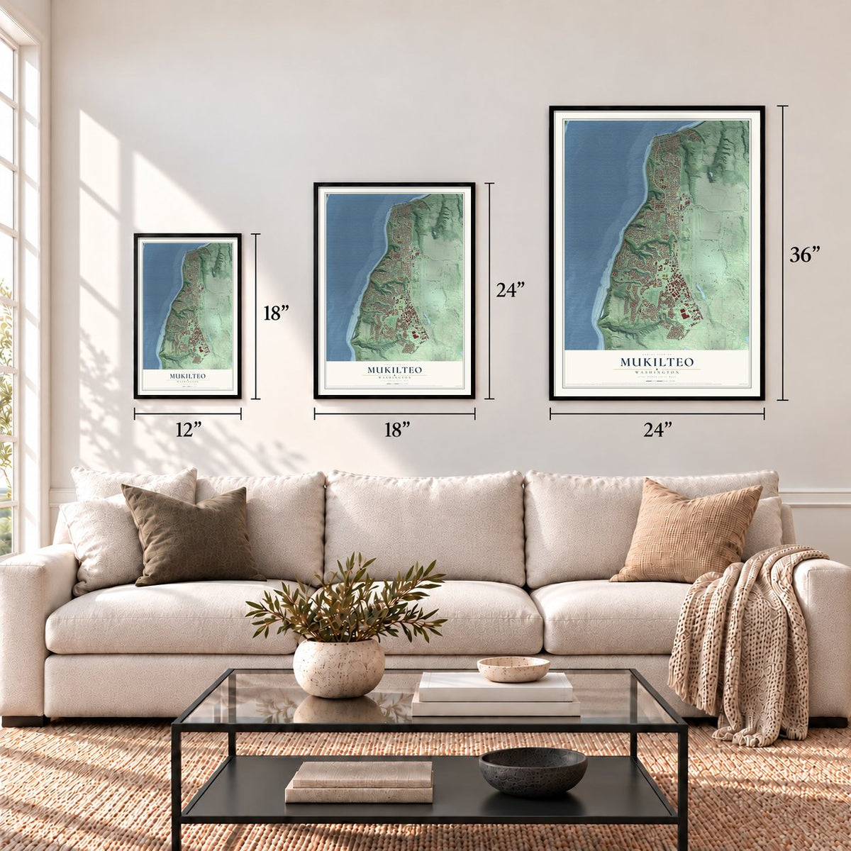
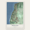
Mukilteo, Washington Map Art
A new map of Mukilteo, Washington, made in 2026 and printed to order on thick archival matte paper.
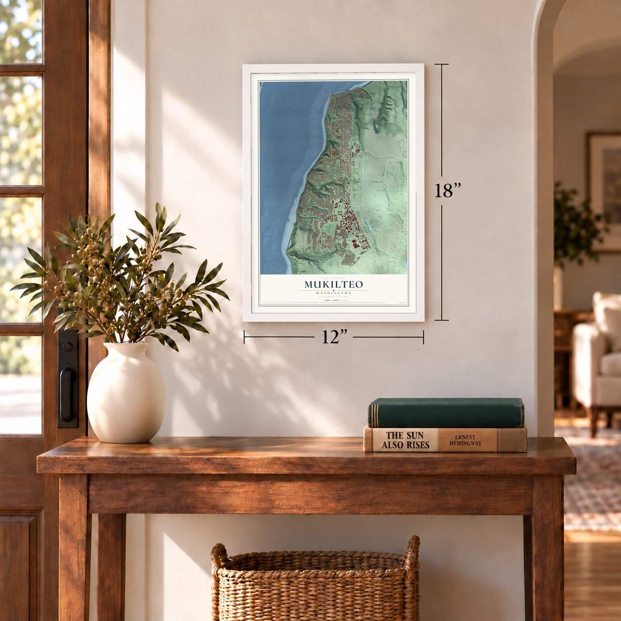
12" x 18" Archival Matte Print
A Map of Home. A Work of Art.
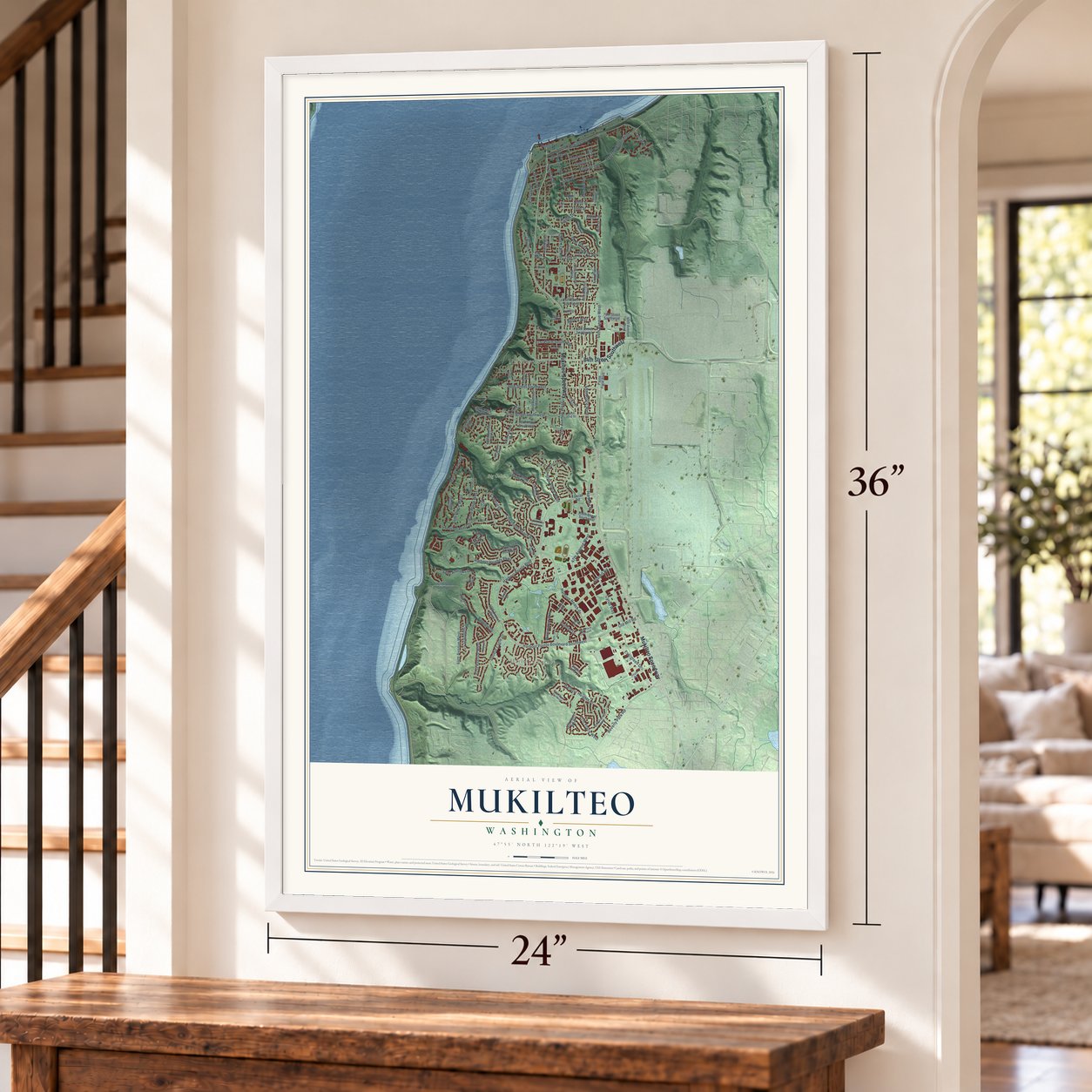
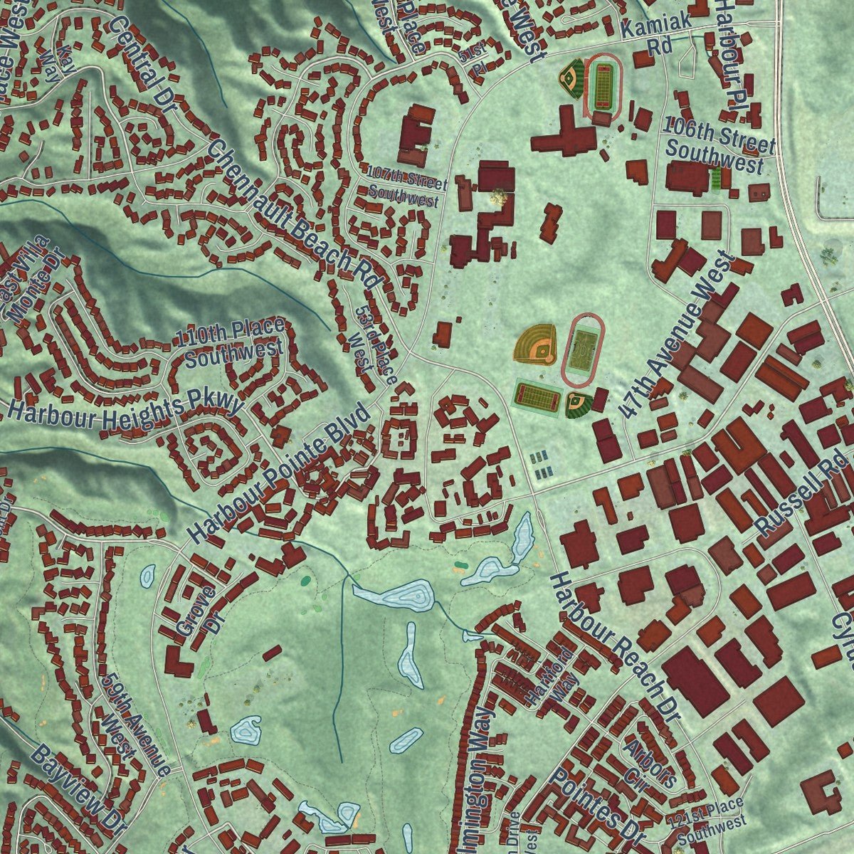
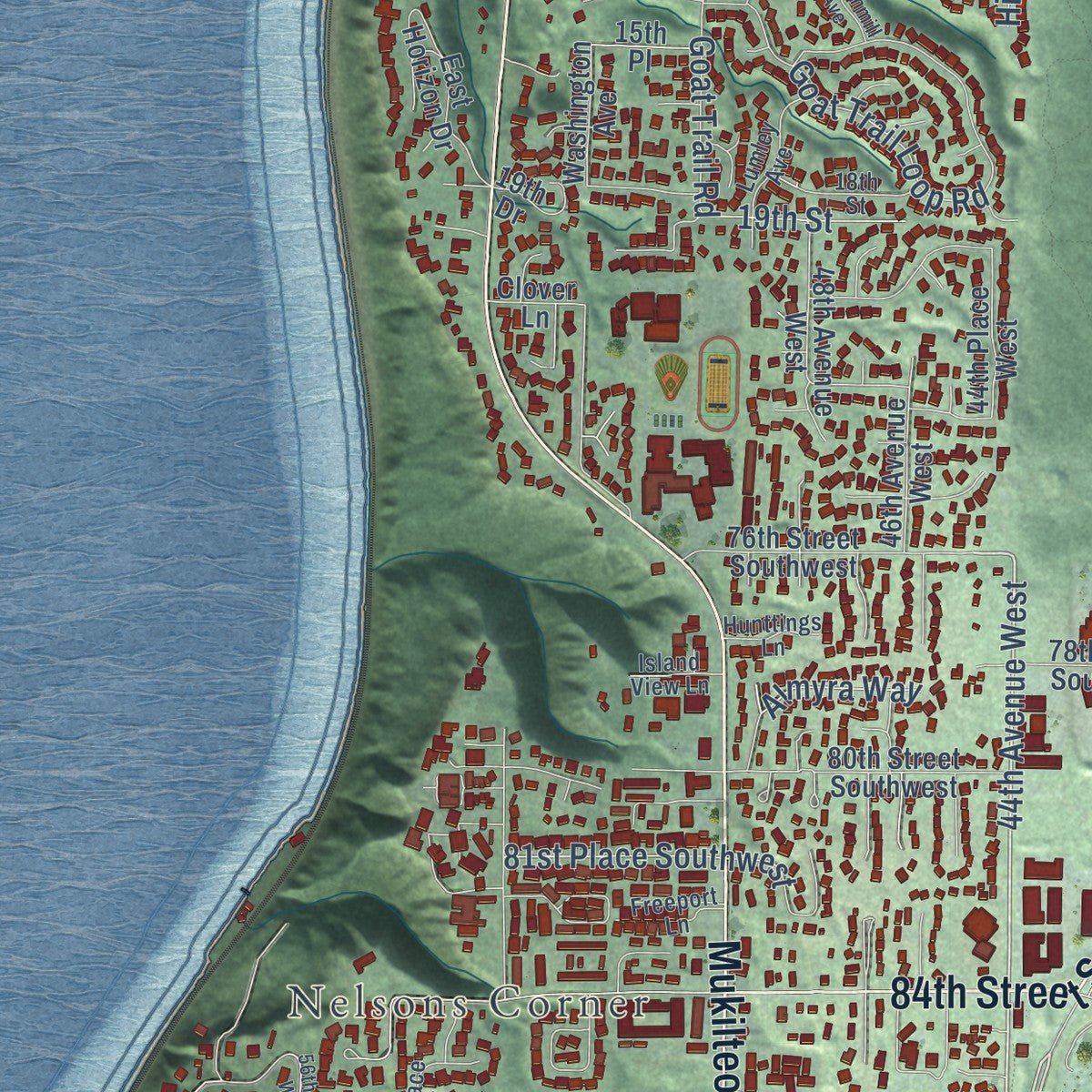
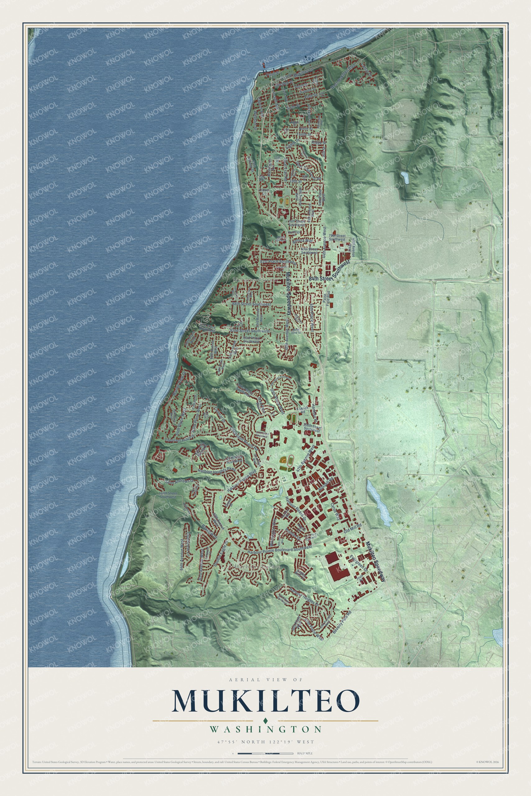
Explore Mukilteo, Washington from a whole new perspective. Created using aerial imagery and detailed geographic data, this map captures Mukilteo building by building, with labeled streets, familiar landmarks, and shaded topographical relief that highlights the natural contours of the landscape.
Combining modern data with the timeless character of a vintage atlas, this map is just as interesting up close as it is beautiful on the wall. Whether you grew up in Mukilteo, spent memorable years there, or call it home today, this unique map is a great way to celebrate a place that means something to you. Zoom in on the preview to look for your street, and then order a print to put your memories on the wall.
Three ways to hang it
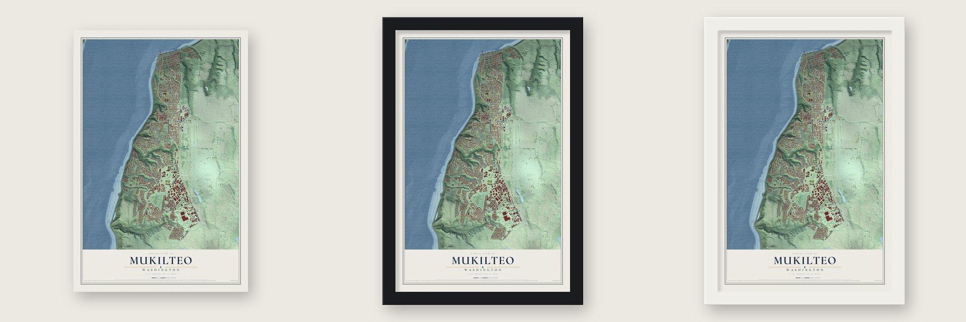
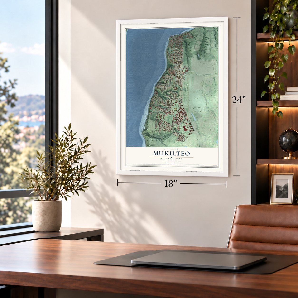
Unframed archival matte, a black wood frame or a white wood frame.
Up close
Geography Worth Displaying
This map was created using accurate cartographic data and authoritative geographic sources, including the U.S. Geological Survey and the Census Bureau. The map brings together terrain, waterways, roads, and building detail. The majority of the streets are labeled, houses are accurately depicted, and the topography is derived from government sources. Combining local data with carefully composed color and shading leads to this beautifully detailed Mukilteo artwork for your wall.
Rather than simply showing street outlines, we’ve included as many of the street names as we could reasonably fit on the map while keeping their names legible. Zoom in on the high resolution preview to see exactly what’s on the map. We truly set out to create a statement piece for anyone who loves Mukilteo. So whether it’s for you, or a gift for someone you love, we hope this map of Mukilteo brings back fond memories.
Read the story behind this map of Mukilteo, Washington from 2026.
About Mukilteo, Washington
Mukilteo is a city of 21,538 people in Snohomish County, on Possession Sound. People of the Snohomish Tribe kept a year-round village on the spit and salt marsh here. In 1792 George Vancouver anchored the Discovery offshore. The next day Lieutenant William Robert Broughton and the botanist Archibald Menzies went ashore and called the spot Rose Point for its wild roses. Charles Wilkes renamed it Point Elliott in 1841. On January 22, 1855, Governor Isaac Stevens met 82 Native leaders here, Chief Seattle among them, and they signed the Point Elliott Treaty. The tribes gave up their lands for reservations, cash and the right to keep hunting and fishing.
Morris Frost, a customs officer at Port Townsend, talked Jacob Fowler into opening a trading post and hotel with him, and the two settled here in 1860. Fowler began using the name Mukilteo, close to the old Lushootseed name. When Snohomish County was created on January 14, 1861, Mukilteo served as its temporary seat. That summer voters moved the seat to Snohomish, 17 to 10. Frost hoped Mukilteo would become the main port on the sound, but investors chose Everett instead. The town stayed small, and residents voted 223 to 137 to incorporate on April 29, 1947, with Alfred Tunem as the first mayor.
“It is lonesome up here and very quiet. Trade is very dull, but I live in hopes of it being better one of these days.”
- Lager from Brewery GulchBrew master Jacob Barth opened one of Washington Territory's earliest breweries in 1870, in a ravine that came to be called Brewery Gulch. It became the Eagle Brewery in 1875, and Frost and Fowler were running it a year later. At its best it made about 15,000 gallons of lager a year, until fire destroyed it in 1882. A salmon cannery built by George Myers & Co. followed in 1877.
- The lighthouse of 1906The Mukilteo lighthouse began operating in 1906 to guide the growing ship traffic, and it joined the National Register in 1977. The Coast Guard handed it to the city on August 19, 2001, but kept running the lights. The state park beside it became Mukilteo Lighthouse Park, which reopened in 2008 after $6.6 million in work.
- Japanese Gulch and the millJapanese workers came to the mills after 1900 and built a Japantown in what is now Japanese Gulch. From 1903 to 1930 they and their families were a key part of town life. The Crown Lumber Company helped pay for the parks, the fire department and the water district, and at its peak it employed 250 men. The mill closed in 1930.
- The 1930 powder blastThe gunpowder plant on the shore blew up after hours on September 17, 1930. The blast leveled or damaged dozens of homes, caused $500,000 in damage and was felt in downtown Everett. Eight people were hurt, but nobody died, and the plant was never rebuilt.
- Ferries to Clinton since 1911The Island Transportation Company started passenger boats to Whidbey Island in 1911, and E. A. Brown began carrying cars by tug and barge in 1916. The Black Ball Line ran the route from 1926 until 1951, when Washington State Ferries bought the company. A new ferry terminal opened on the waterfront on December 29, 2020.
Find your street
Names on the Mukilteo map
Every name below is printed on this map. Look for your street, your school, the park where you played, or the pond down the road.
Places and landmarks3
- Harbour Pointe
- Nelsons Corner
- Big Gulch
Streets and roads124
- Mukilteo Speedway
- 84th Street Southwest
- 44th Avenue West
- 92nd Street Southwest
- Harbour Heights Parkway
- Saint Andrews Drive
- 50th Place West
- Beverly Park Road
- Harbour Heights Drive
- Chennault Beach Road
- 62nd Place West
- Ninth Street
- Harbour Pointe Boulevard
- 88th Street Southwest
- Harbour Pointe Boulevard Southwest
- 47th Place West
- 49th Avenue West
- Marine View Drive
- Goat Trail Loop Road
- Mukilteo Lane
- Fifth Street
- Cyrus Way
- Clubhouse Lane
- Harbour Reach Drive
- Third Street
- Sixth Street
- Goat Trail Road
- 61st Avenue West
- 45th Place West
- Fourth Street
Show all 124 streets
- Central Drive
- 47th Avenue West
- Second Street
- 64th Place West
- Harbour Place
- Old Mill Road
- 81st Place Southwest
- West Mukilteo Boulevard
- Wilmington Way
- Double Eagle Drive
- 64th Avenue West
- Bayview Drive
- Pointes Drive
- Evergreen Drive
- 19th Street
- Russell Road
- Lincoln Avenue
- Tenth Street
- Church Avenue
- Front Street
- Almyra Way
- Eighth Drive
- Lamar Drive
- Webster Street
- Hill Street
- Ridge Street
- 59th Avenue West
- Paine Field Boulevard
- 116th Street Southwest
- 53rd Avenue West
- Washington Avenue
- 46th Place West
- 48th Avenue West
- 60th Avenue West
- 80th Street Southwest
- 52nd Place West
- Chennault Beach Drive
- 93rd Place Southwest
- Park Avenue
- 63rd Place West
- 46th Avenue West
- 57th Avenue West
- 76th Street Southwest
- Arbors Circle
- Campbell Avenue
- 78th Street Southwest
- 101st Street Southwest
- 106th Street Southwest
- Eagles Nest Drive
- Kamiak Road
- East Horizon Drive
- 40th Avenue West
- 15th Place
- 44th Place West
- 91st Place Southwest
- 110th Place Southwest
- East Villa Monte Drive
- First Street
- 19th Drive
- Clover Lane
- Grove Drive
- 42nd Avenue West
- 53rd Place West
- Eighth Street
- Clearview Drive
- 66th Place West
- Randolph Avenue
- Hartford Way
- 18th Street
- 54th Place West
- Ironwood Lane
- Lumley Avenue
- Prospect Drive
- South Road
- Freeport Lane
- North 32nd Street
- 58th Place West
- Hunttings Lane
- Island View Lane
- Kay Way
- 131st Street Southwest
- 51st Place
- 56th Place West
- 48th Place West
- 49th Drive West
- 107th Street Southwest
- 99th Street Southwest
- Prospect Avenue
- 121st Place Southwest
- Surrey Lane
- West Oakmont Drive
- Crownmill Avenue
- Fifth Place
- Ninth Place
Names are listed as they appear on the printed map. Zoom into the product photos to find them.
The art of mapping a place
How This Map Was Made
Real places. Remarkable detail. Discover the layers that turn geographic data into a map of home.

The view from above
Aerial imagery reveals the character of the land: woodland, open fields, and the patterns of a place.

The shape of the land
Elevation data brings hills, valleys, and subtle changes in the landscape into view.

The details of home
Roads, waterways, and building footprints come together to make the map feel unmistakably local.

Geography becomes art
Considered color, shading, and typography bring the layers together in a map made for your wall.


Process illustrated with Mendon, Massachusetts. Aerial imagery: USDA NAIP. Terrain: USGS 3D Elevation Program. Map details and finished artwork: KNOWOL.
The Details
About This Print
Choose an archival matte print, or a black or white Ayous wood frame. The archival matte print is unframed.
Select your size and finish above to see the matching product image and price.
Materials & Craftsmanship
A contemporary map with the character of a classic atlas, printed on archival matte paper. Optional frames are made from Ayous wood.
Your printed map does not include the watermark shown in the full-map preview.
Shipping & Delivery
Free shipping within the United States. Every print is made to order in the USA.
Buying a gift? Add a note in your cart and we'll include it. We never put prices in the package.
Prints ship within 2 to 3 business days. Allow 7 to 10 days total from ordering for delivery. Timing may vary during holidays or periods of high order volume.
Read our shipping policy.
Returns and damaged prints
Each print is made to order. Change-of-mind refunds are not available after production.
If your print arrives damaged, misprinted or incorrect, contact support@knowol.com within 30 days of receiving it. Include your order number, photos and a description of the issue.
Read our full refund and replacement policy. For questions about your order, email support@knowol.com.
Find your town
Looking for another city?
Find a map of home in our Washington collection, or any town in the country.
Nearby
Maps of towns near Mukilteo
Know someone from one of these towns? Their map makes a great gift.
 Picnic Point
, Washington
From $39.99See the map
 Lake Stickney
, Washington
From $39.99See the map
 Meadowdale
, Washington
From $39.99See the map
More maps nearby: Clinton, North Lynnwood, Larch Way, Mill Creek and Eastmont.