
Search for another town





Free U.S. delivery 7 to 10 days after you order
New Britain, Connecticut Map Art
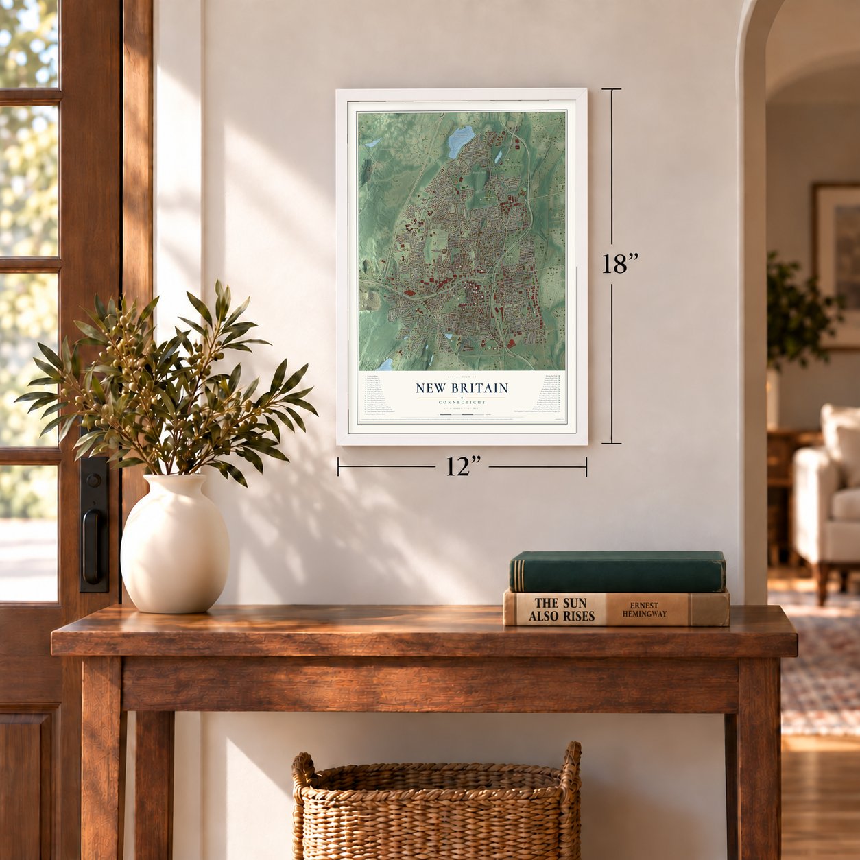
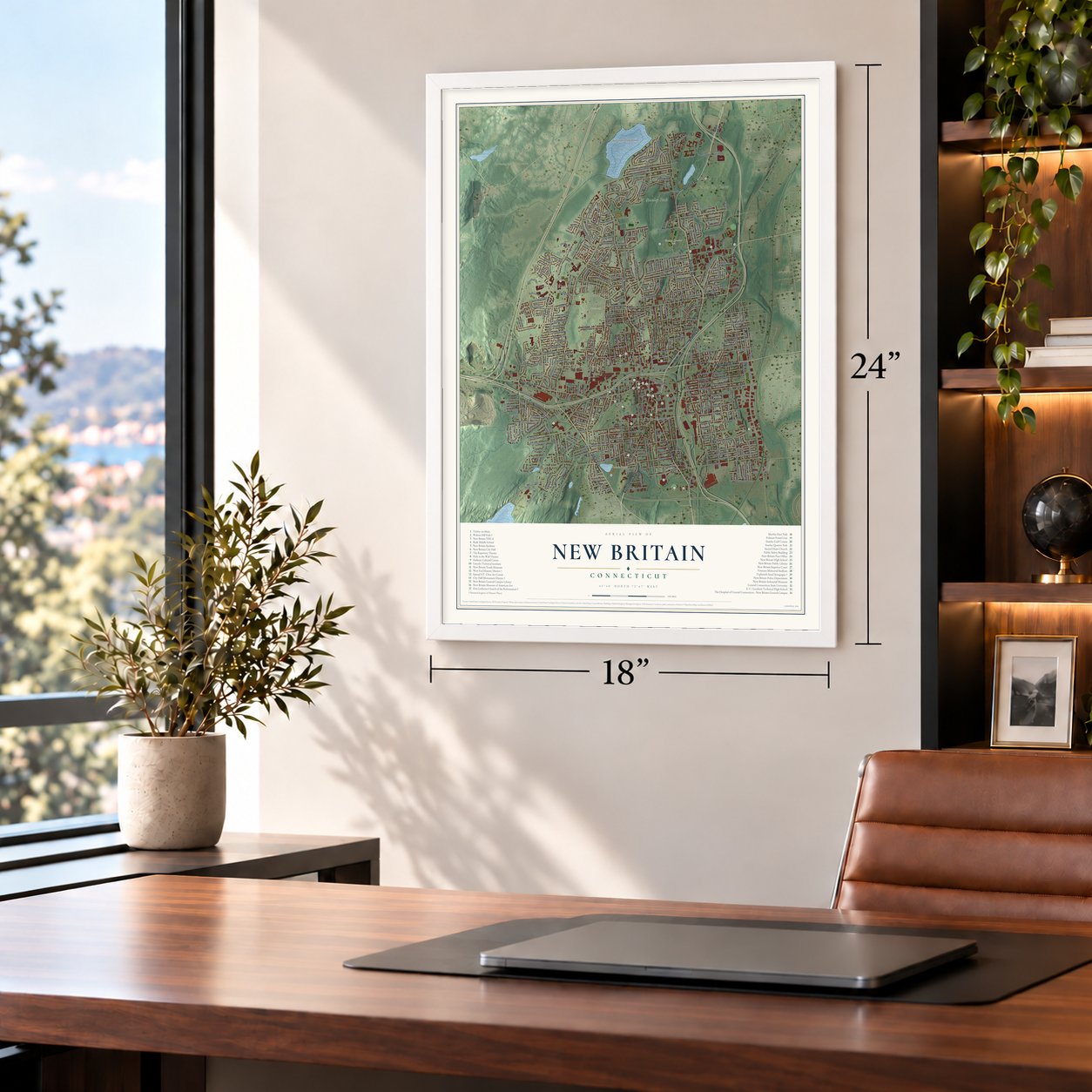
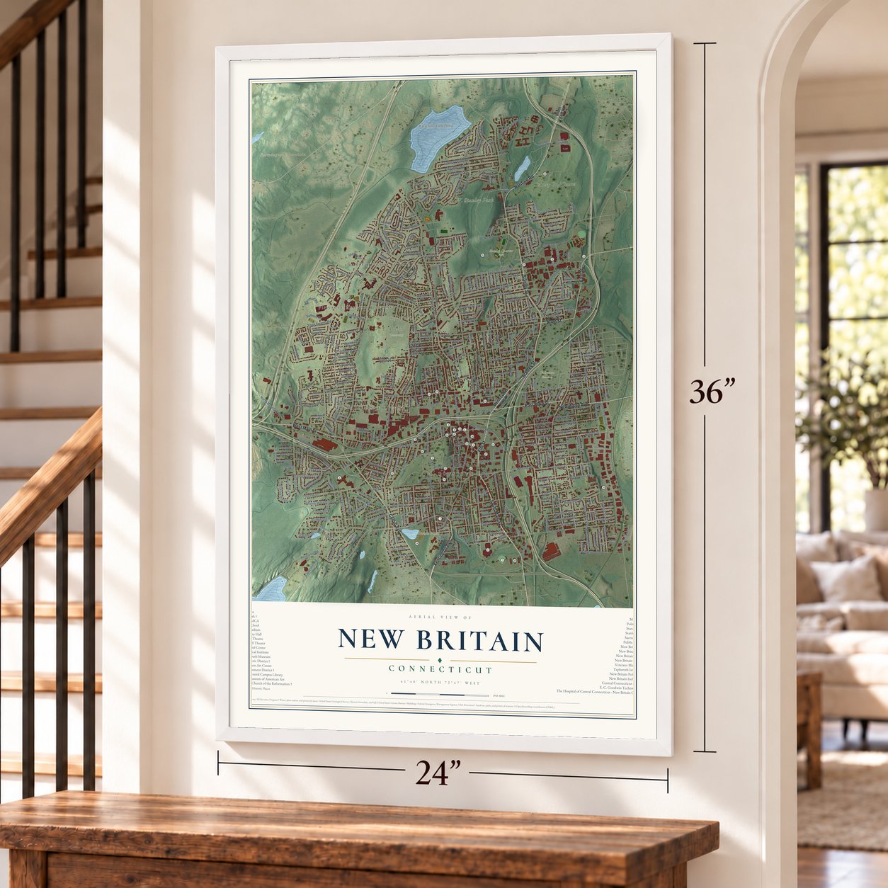
A new map of New Britain, Connecticut, made in 2026 and printed to order on thick archival matte paper.
18" x 24" Archival Matte Print
A Map of Home. A Work of Art.
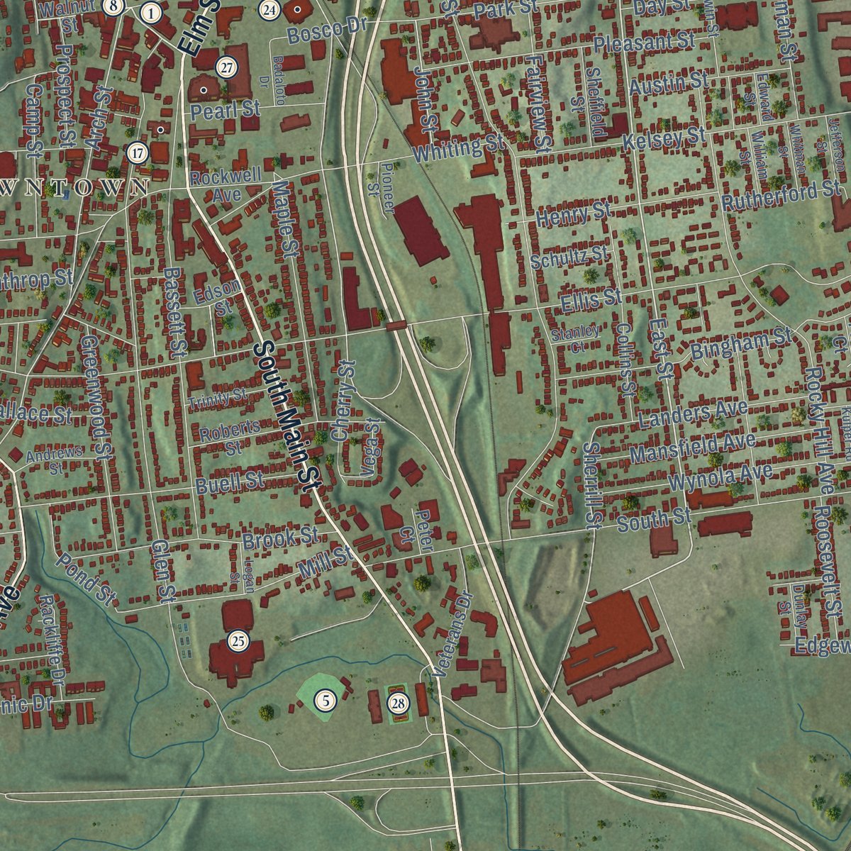
Explore New Britain, Connecticut from a whole new perspective. Created using aerial imagery and detailed geographic data, this map captures New Britain building by building, with labeled streets, familiar landmarks, and shaded topographical relief that highlights the natural contours of the landscape.
Combining modern data with the timeless character of a vintage atlas, this map is just as interesting up close as it is beautiful on the wall. Whether you grew up in New Britain, spent memorable years there, or call it home today, this unique map is a great way to celebrate a place that means something to you. Zoom in on the preview to look for your street, and then order a print to put your memories on the wall.

Three ways to hang it
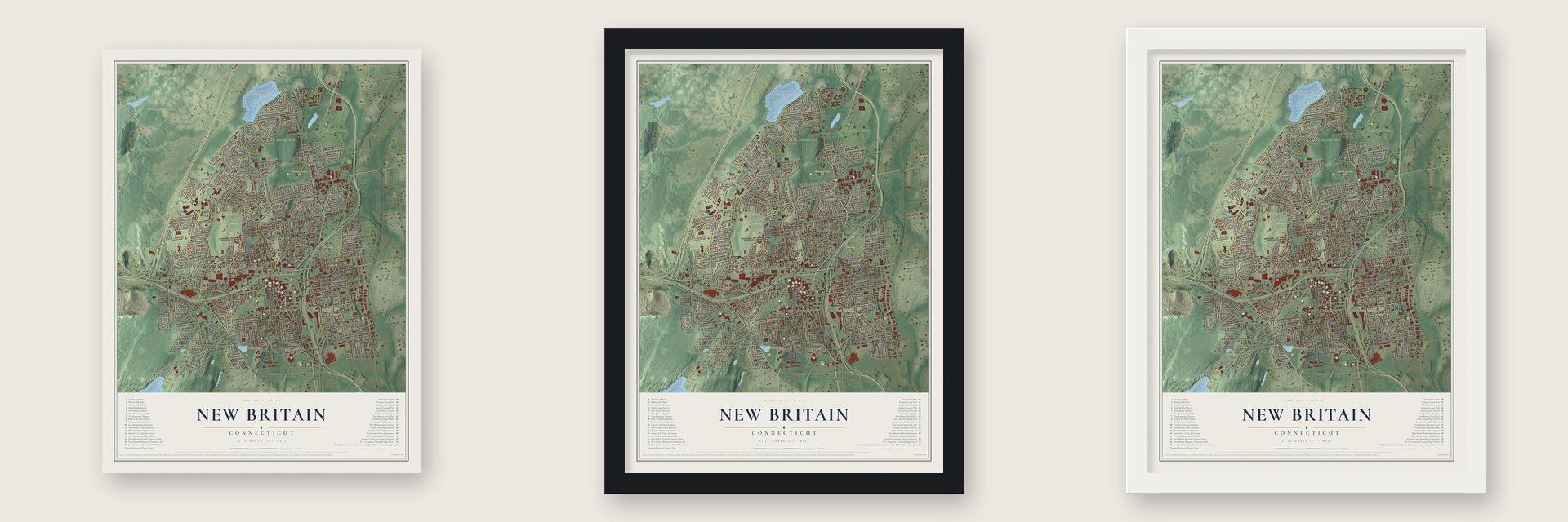
Unframed archival matte, a black wood frame or a white wood frame.
Up close
Geography Worth Displaying
This map was created using accurate cartographic data and authoritative geographic sources, including the U.S. Geological Survey (USGS) and FEMA. The map brings together terrain, waterways, roads, and building detail. The majority of the streets are labeled, houses are accurately depicted, and the topography is derived from government sources. Combining local data with carefully composed color and shading leads to this beautifully detailed New Britain artwork for your wall.
Rather than simply showing street outlines, we’ve included as many of the street names as we could reasonably fit on the map while keeping their names legible. Zoom in on the high resolution preview to see exactly what’s on the map. We truly set out to create a statement piece for anyone who loves New Britain. So whether it’s for you, or a gift for someone you love, we hope this map of New Britain brings back fond memories.
Explore the full map of New Britain, Connecticut and read about the local places it shows.

About New Britain, Connecticut
New Britain is a city of 74,135 people in Hartford County, about 9 miles southwest of Hartford. Settlers arrived in 1687 in a part of Farmington called the Great Swamp, and in 1754 the parish was organized as the New Britain Society, a name Colonel Isaac Lee chose to honor Great Britain. About sixty houses stood in it then. The parish joined the new town of Berlin in 1785, broke away as a town of its own in 1850 and became a city in 1871, after its charter passed by a single vote.
The place had poor prospects for industry. No navigable water lay within ten miles and no stream could turn a mill wheel all day, so blacksmiths opened the first shops. North and Stanley put up the town's first brick factory beside a pond on Piper's Brook, and Philip Corbin powered his first shop with a horse treadmill in a cellar. Those small shops grew into Stanley, Corbin, Landers, Frary & Clark and North & Judd. By 1913 the American Hardware Corporation had 12,000 workers, more than any other employer in Connecticut, and New Britain was known as the Hardware City.
“The Grace of God, and men like Major North!”
- Bolts sold from a mareIn 1843 Frederick Trent Stanley opened a small shop to make door bolts. He made each bolt by hand, rode out behind his old mare to sell them at nearby farms, and screwed them onto the barn doors himself. The shop became the Stanley Works. In 1857 Henry Stanley, his cousin, started the Stanley Rule and Level Company, which once bought every standing hickory tree within fifty miles for tool handles, and the two companies merged in 1920.
- A town hall turned schoolNew Britain had just built a town hall on Main Street when it became a town in 1850. Seth J. North raised a subscription to buy it and hand it to the state as a Normal School for training teachers, provided a free public high school stood next to it. It opened May 15, 1850, the first regular town meeting met there that July, and the high school came in 1851. The Normal School is now Central Connecticut State University.
- From cow pasture to parkWalnut Hill was a cow pasture in the 1850s. Frederick Law Olmsted designed a park to surround the reservoir, with its main road built from 1870 to 1872. The World War I memorial rose in 1928 where Olmsted had wanted a tower.
- The dribble began hereDribbling a basketball was worked out at the New Britain YMCA in 1895, and racquetball was developed at the same YMCA in 1954. An earlier everyday invention came from the city too: O. A. North of New Britain invented the wire coat hanger in 1869.
- Little Poland on Broad StreetBy 1930 a quarter of New Britain was Polish. In 1887 Dr. Andrew J. Sloper, a promoter of recruiting European workers for the factories, built a brick Queen Anne house, and Polish community leaders Dr. Andrew and Cecilia Wesoly later bought it. The Sloper-Wesoly House is now a Polish cultural center.
Find your street
Names on the New Britain map
Every name below is printed on this map. Look for your street, your school, the park where you played, or the pond down the road.
Places and landmarks30
- Pinnacle Heights Housing
- Corbin Heights Housing
- Mount Pleasant Housing
- Stanley Quarter Park
- Central Connecticut State University
- City Hall-Monument District
- E. C. Goodwin Technical High School
- First Lutheran Church of the Reformation
- Hellenic Cultural Center
- Hole In The Wall
- Lincoln Technical Institute
- Martha Hart Park
Show all 30 places
- New Britain City Hall
- New Britain General Campus Library
- New Britain High School
- New Britain Industrial Museum
- New Britain Public Library
- New Britain Stadium
- New Britain Superior Court
- New Britain YMCA
- Polmart Postal Unit
- Repertory Theatre
- Samuel S.T. Chen Art Center
- Slade Middle School
- Stanley Golf Course
- Tephereth Israel Synagogue
- Veterans Memorial Stadium
- Walnut Hill Park
- West End Historic District
- West Hartford
Streets and roads28
- Howe Rd
- Stratford Rd
- Blake Rd
- Clinton St
- Lake St
- Slater Rd
- Allen St
- Cabot St
- Miller St
- Carmody Ct
- Pleasant St
- Pearl St
- Hatch St
- Union St
- Church St
- Grand St
- Walcott St
- Connecticut Ave
- Hart St
- Meadow Ave
- Dover Rd
- Day St
- Whiting St
- Henry St
- Buell St
- Clinic Dr
- Sand St
- Edgewood Ave
Names are listed as they appear on the printed map. Zoom into the product photos to find them.
The art of mapping a place
How This Map Was Made
Real places. Remarkable detail. Discover the layers that turn geographic data into a map of home.

The view from above
Aerial imagery reveals the character of the land: woodland, open fields, and the patterns of a place.

The shape of the land
Elevation data brings hills, valleys, and subtle changes in the landscape into view.

The details of home
Roads, waterways, and building footprints come together to make the map feel unmistakably local.

Geography becomes art
Considered color, shading, and typography bring the layers together in a map made for your wall.


Process illustrated with Mendon, Massachusetts. Aerial imagery: USDA NAIP. Terrain: USGS 3D Elevation Program. Map details and finished artwork: KNOWOL.
The Details
About This Print
Choose an archival matte print, or a black or white Ayous wood frame. The archival matte print is unframed.
Select your size and finish above to see the matching product image and price.
Materials & Craftsmanship
A contemporary map with the character of a classic atlas, printed on archival matte paper. Optional frames are made from Ayous wood.
Your printed map does not include the watermark shown in the full-map preview.
Shipping & Delivery
Free shipping within the United States. Every print is made to order in the USA.
Buying a gift? Add a note in your cart and we'll include it. We never put prices in the package.
Prints ship within 2 to 3 business days. Allow 7 to 10 days total from ordering for delivery. Timing may vary during holidays or periods of high order volume.
Read our shipping policy.
Returns and damaged prints
Each print is made to order. Change-of-mind refunds are not available after production.
If your print arrives damaged, misprinted or incorrect, contact support@knowol.com within 30 days of receiving it. Include your order number, photos and a description of the issue.
Read our full refund and replacement policy. For questions about your order, email support@knowol.com.
Find your town
Looking for another city?
Find a map of home in our Connecticut collection, or any town in the country.
Nearby
Maps of towns near New Britain
Know someone from one of these towns? Their map makes a great gift.
 Newington
, Connecticut
From $39.99See the map
 Plainville
, Connecticut
From $39.99See the map
 Kensington
, Connecticut
From $39.99See the map
More maps nearby: Farmington, Berlin, Wethersfield, West Hartford and Rocky Hill.