
Search for another town





Free U.S. delivery 7 to 10 days after you order
Pepperell, Massachusetts Map Art
Building by building, with labeled streets and shaded relief.
12" x 18" Archival Matte Print
A Map of Home. A Work of Art.
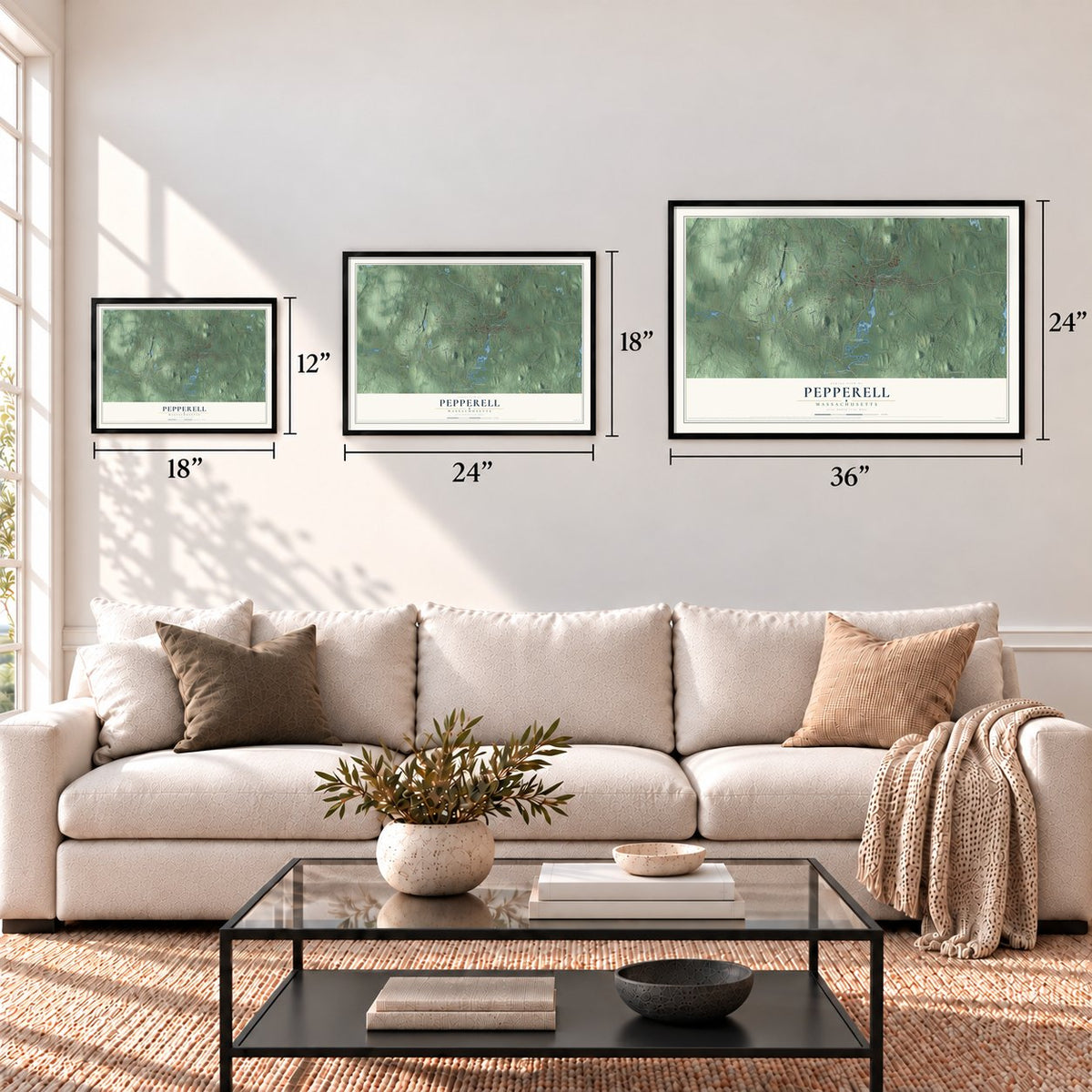
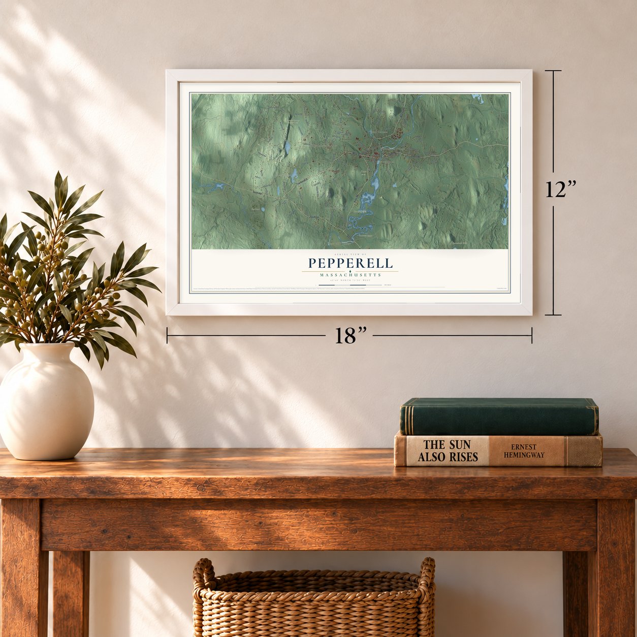
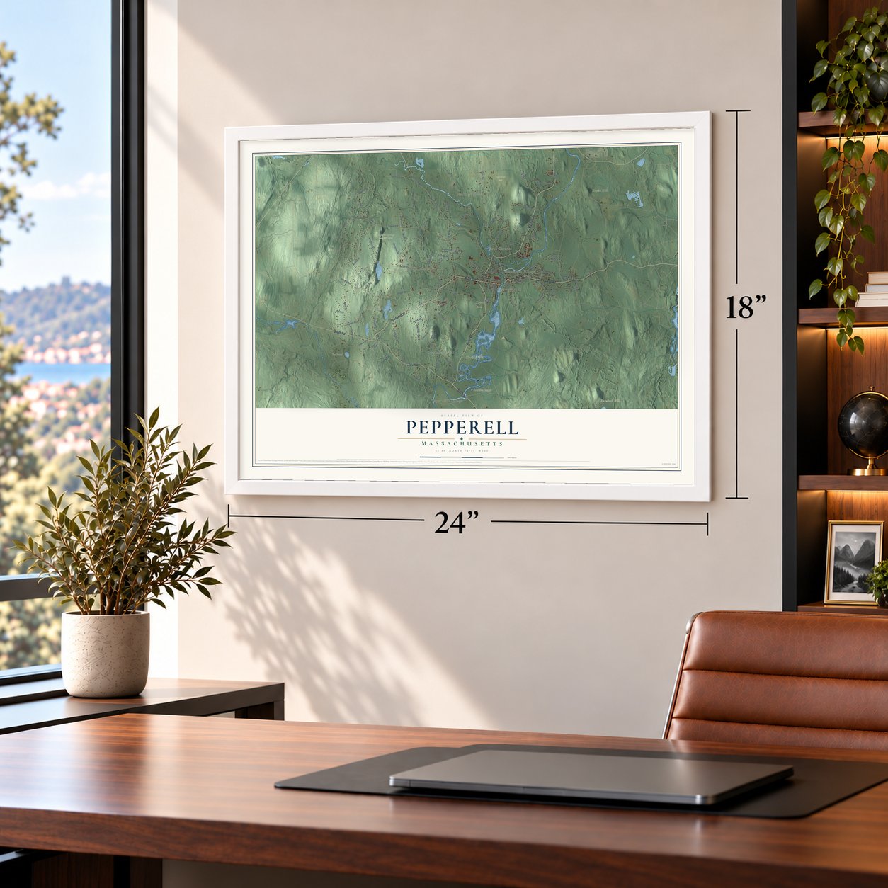
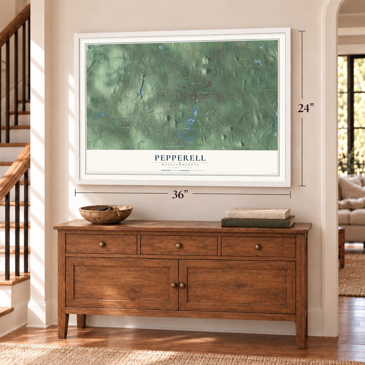
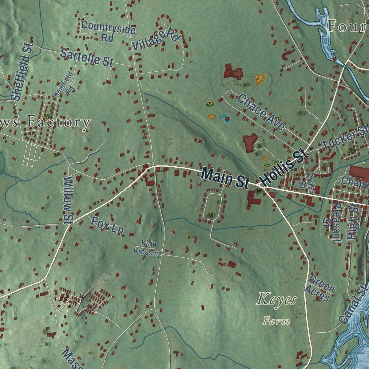
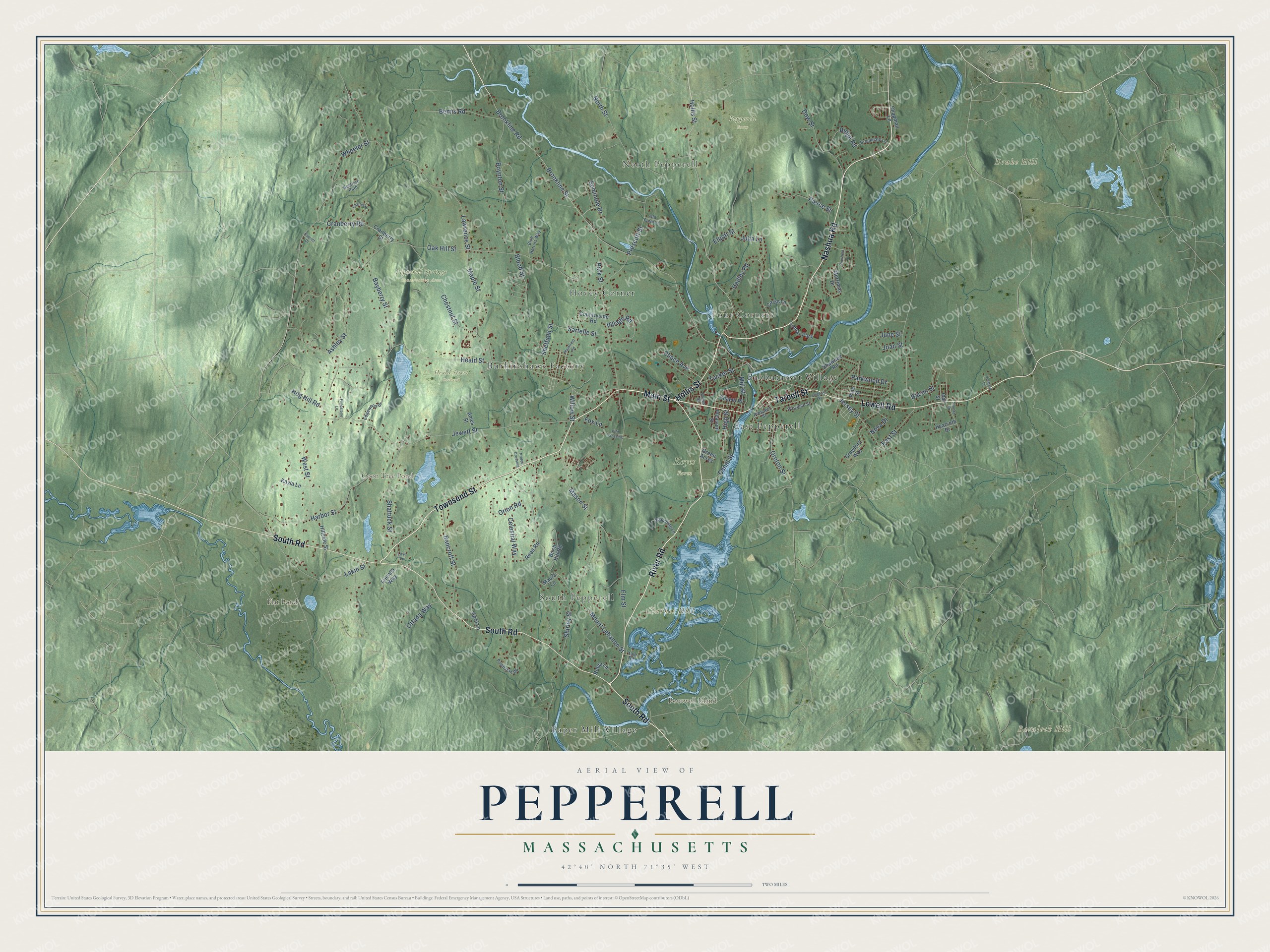
Explore Pepperell, Massachusetts from a whole new perspective. Created using aerial imagery and detailed geographic data, this map captures Pepperell building by building, with labeled streets, familiar landmarks, and shaded topographical relief that highlights the natural contours of the landscape.
Combining modern data with the timeless character of a vintage atlas, this map is just as interesting up close as it is beautiful on the wall. Whether you grew up in Pepperell, spent memorable years there, or call it home today, this unique map is a great way to celebrate a place that means something to you. Zoom in on the preview to look for your street, and then order a print to put your memories on the wall.
Three ways to hang it
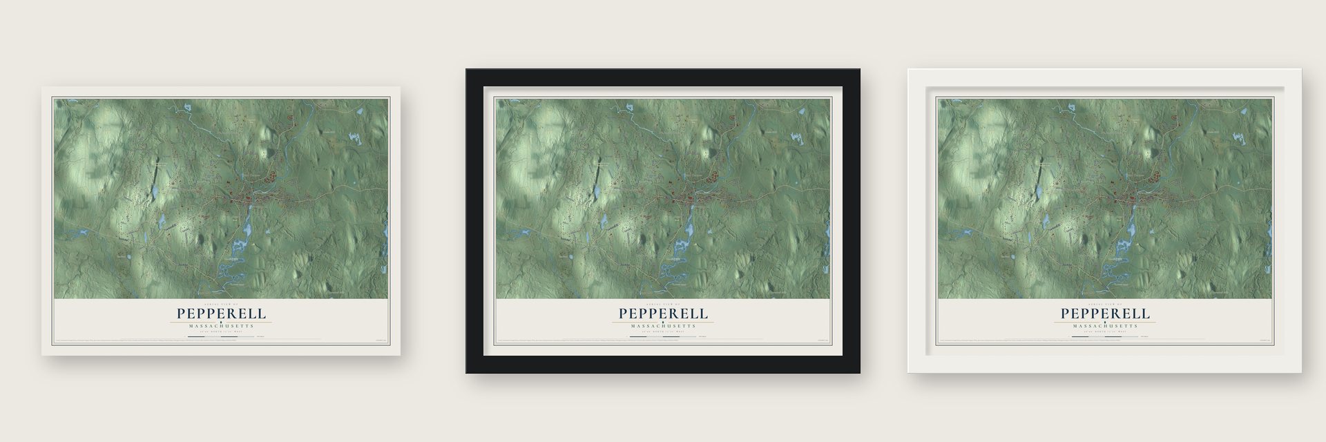
Unframed archival matte, a black wood frame or a white wood frame.
Up close
Geography Worth Displaying
This map was created using accurate cartographic data and authoritative geographic sources, including the U.S. Geological Survey (USGS) and FEMA. The map brings together terrain, waterways, roads, and building detail. The majority of the streets are labeled, houses are accurately depicted, and the topography is derived from government sources. Combining local data with carefully composed color and shading leads to this beautifully detailed Pepperell artwork for your wall.
Rather than simply showing street outlines, we’ve included as many of the street names as we could reasonably fit on the map while keeping their names legible. Zoom in on the high resolution preview to see exactly what’s on the map. We truly set out to create a statement piece for anyone who loves Pepperell. So whether it’s for you, or a gift for someone you love, we hope this map of Pepperell brings back fond memories.
Explore the full map of Pepperell, Massachusetts and read about the local places it shows.

Find your street
Names on the Pepperell map
Every name below is printed on this map. Look for your street, your school, the park where you played, or the pond down the road.
Places and landmarks19
- North Pepperell
- South Pepperell
- Four Corners
- Baralock Hill
- Boutwell Island
- Clarkes Hill
- Drake Hill
- Coon Tree Pond
- Flat Pond
- Heald Street Orchard
- Keyes Farm
- Pepperell Farm
Show all 19 places
- Pepperell Springs Conservation Area
- Hovey Corner
- Paper Mill Village
- East Pepperell
- Burkinshaws Factory
- Babbatasset Village
- Lomar Park
Streets and roads108
- Nashua Road
- River Road
- Townsend Street
- Main Street
- Tarbell Street
- South Road
- Lowell Road
- Hollis Street
- Groton Street
- Bacon Street
- Heald Street
- Brookline Street
- Brookline Road
- Jewett Street
- Shirley Street
- Chestnut Street
- Elm Street
- West Street
- Mount Lebanon Street
- Lawrence Street
- Oak Hill Street
- Prescott Street
- Park Street
- Harbor Street
- East Street
- Wheeler Street
- Boynton Street
- Hadley Road
- Shattuck Street
- Maple Street
Show all 108 streets
- Mill Street
- North Street
- Bancroft Street
- Blood Street
- Bayberry Street
- Dow Street
- Canal Street
- Bemis Road
- Cranberry Road
- Ashley Street
- Jersey Street
- Elliott Street
- Village Road
- Parkwood Drive
- Mason Street
- Pierce Street
- Sartelle Street
- Celestial Way
- Ridge Road
- Julia Lane
- Sheffield Street
- Tucker Street
- Orion Road
- Ottada Way
- Hog Hill Road
- Chace Avenue
- Lakin Street
- High Street
- June Street
- Nova Drive
- Seminole Drive
- Joan Street
- Willow Street
- Fox Lane
- Cranberry Street
- Merrimac Drive
- Shawnee Road
- Birch Hill Road
- Hyacinth Drive
- Crawford Way
- Countryside Road
- Robin Lane
- Pine Street
- Chapman Lane
- Hillside Street
- Friends Way
- Pleasant Street
- Chapel Place
- Casie Lane
- Maura Lane
- Kayla Lane
- Ames Street
- Reed Road
- April Lane
- Idal Street
- Green Acres
- Powhatan Road
- Brookdale Lane
- Blue Herons Way
- Beatrice Path
- Edgewood Drive
- Prospect Street
- Spaulding Lane
- Province Street
- Old Farm Lane
- Cross Street
- Yale Road
- Deerfield Drive
- Leighton Street
- Plainfield Road
- Charles Place
- Yvonne Drive
- Vesbard Lane
- Fieldstone Lane
- Prides Crossing
- Kirin Krossing
- Everett Drive
- Liryc Lane
Names are listed as they appear on the printed map. Zoom into the product photos to find them.
About Pepperell, Massachusetts
Pepperell is a town of 11,604 people in Middlesex County, where the Nissitissit River flows into the Nashua on the New Hampshire line. Settlers began farming west of the Nashua in 1720, while the land still belonged to Groton. In 1742 about forty families there became Groton's West Precinct. On April 12, 1753, the parish became the district of Pepperell, taking its name from Sir William Pepperrell, the commander who had captured Louisbourg in 1745.
The Revolution made Pepperell a town. On April 19, 1775, its minute-men reached the Groton meeting point before Groton's own company was ready to march. On June 17 about sixty Pepperell men fought at Bunker Hill under Colonel William Prescott, and eight of them were killed. A month later, on July 19, Pepperell sent a representative of its own to the General Court, then sitting at Watertown, and it was incorporated as a town that year.
“Fear them not; let it never be said of a New England soldier, let it never be said of a Pepperell soldier that he was afraid to face his enemies.”
- Named by a chaplainRev. Joseph Emerson, minister of the parish, had served as a chaplain on the Louisbourg expedition, and he probably suggested naming the new district for the commander he had served under there.
- The bell that never cameIn thanks, Sir William sent the town a bell cast in England. Its two-line verse said that it called the living to church and summoned everyone to the grave. The bell got as far as Boston, where it was put in storage, and it never reached Pepperell. Some stories blame British soldiers, others unpaid storage bills or a dishonest town agent, and the town records say nothing.
- The guard at Jewett's BridgeAfter the minute-men left in April 1775, women near the Nashua River bridge dressed as men, armed themselves with muskets and pitchforks, and chose Prudence Wright as commander. She had grown up in Hollis near the Loyalist they caught, Captain Leonard Whiting, and tradition says he recognized her voice and gave up. Letters hidden in his boot were sent on to the patriots. A descendant of hers placed a granite stone close to the bridge in November 1889.
- Paper mills and brogansBefore the mills, many farms kept a cooper's shop, and ox teams hauled the barrels to Boston over two or three days. Ben Lawrence opened the first paper mill on the Nissitissit in 1818. About 1834 a papermaker named Emerson installed fast Fourdrinier machines at Babbitasset Falls on the Nashua, and by 1837 the town had three paper mills. Shoemaking followed, and by 1890 the Leighton Brothers factory could turn out 5,000 pairs of brogans a day.
- From rails to a trailThe Worcester and Nashua Railroad opened along the east bank of the Nashua in 1848, with Pepperell's depot on the Groton side. On May 18, 1857, the legislature moved that depot village from Groton into Pepperell. Freight kept running to the paper mill until 1981, and the line was formally abandoned a year later, in 1982. In 2001 the old roadbed was paved over to become a stretch of the Nashua River Rail Trail.
Keep exploring Massachusetts
Pepperell is one of 461 Massachusetts towns we've mapped. Every dot on the map is a print of its own.
The search covers every state, Massachusetts first.
Near Pepperell
Order 2 or more town maps and save 10%. Shown in the size and finish you picked above, so they hang as a set.
- East Pepperell 12" x 18" / Archival Matte Print $39.99
- Groton 12" x 18" / Archival Matte Print $39.99
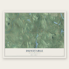
- Dunstable 12" x 18" / Archival Matte Print $39.99
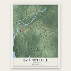

More maps nearby: Townsend, Shirley, Ayer, Lunenburg and Devens.
The art of mapping a place
How This Map Was Made
Real places. Remarkable detail. Discover the layers that turn geographic data into a map of home.

The view from above
Aerial imagery reveals the character of the land: woodland, open fields, and the patterns of a place.

The shape of the land
Elevation data brings hills, valleys, and subtle changes in the landscape into view.

The details of home
Roads, waterways, and building footprints come together to make the map feel unmistakably local.

Geography becomes art
Considered color, shading, and typography bring the layers together in a map made for your wall.


Process illustrated with Mendon, Massachusetts. Aerial imagery: USDA NAIP. Terrain: USGS 3D Elevation Program. Map details and finished artwork: KNOWOL.
The Details
About This Print
Choose an archival matte print, or a black or white Ayous wood frame. The archival matte print is unframed.
Select your size and finish above to see the matching product image and price.
Materials & Craftsmanship
A contemporary map with the character of a classic atlas, printed on archival matte paper. Optional frames are made from Ayous wood.
Your printed map does not include the watermark shown in the full-map preview.
Shipping & Delivery
Free shipping within the United States. Every print is made to order in the USA.
Buying a gift? Add a note in your cart and we'll include it. We never put prices in the package.
Prints ship within 2 to 3 business days. Allow 7 to 10 days total from ordering for delivery. Timing may vary during holidays or periods of high order volume.
Read our shipping policy.
Returns and damaged prints
Each print is made to order. Change-of-mind refunds are not available after production.
If your print arrives damaged, misprinted or incorrect, contact support@knowol.com within 30 days of receiving it. Include your order number, photos and a description of the issue.
Read our full refund and replacement policy. For questions about your order, email support@knowol.com.