
Search for another town

Free U.S. delivery 7 to 10 days after you order
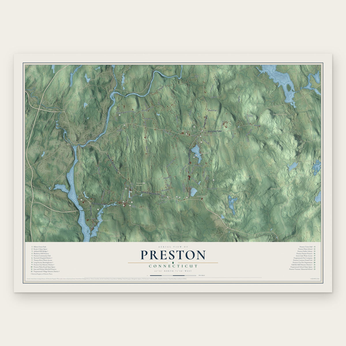
Preston, Connecticut Map Art
Building by building, with labeled streets and shaded relief.
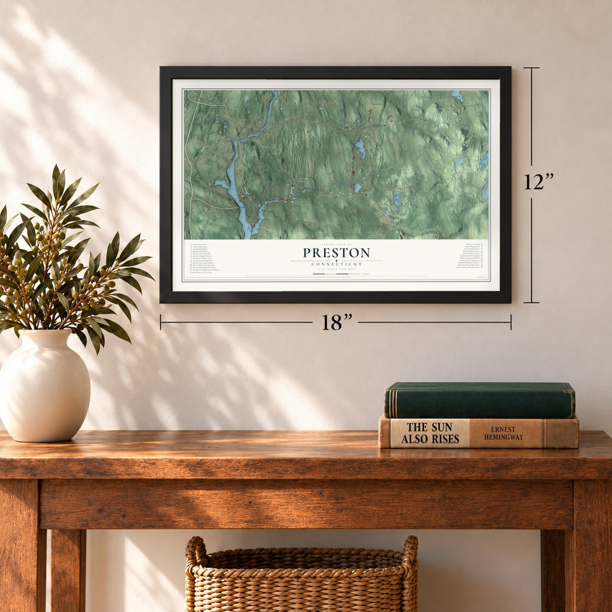
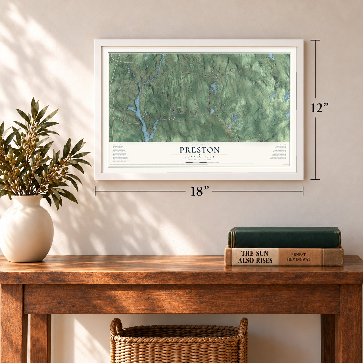
12" x 18" Archival Matte Print
A Map of Home. A Work of Art.
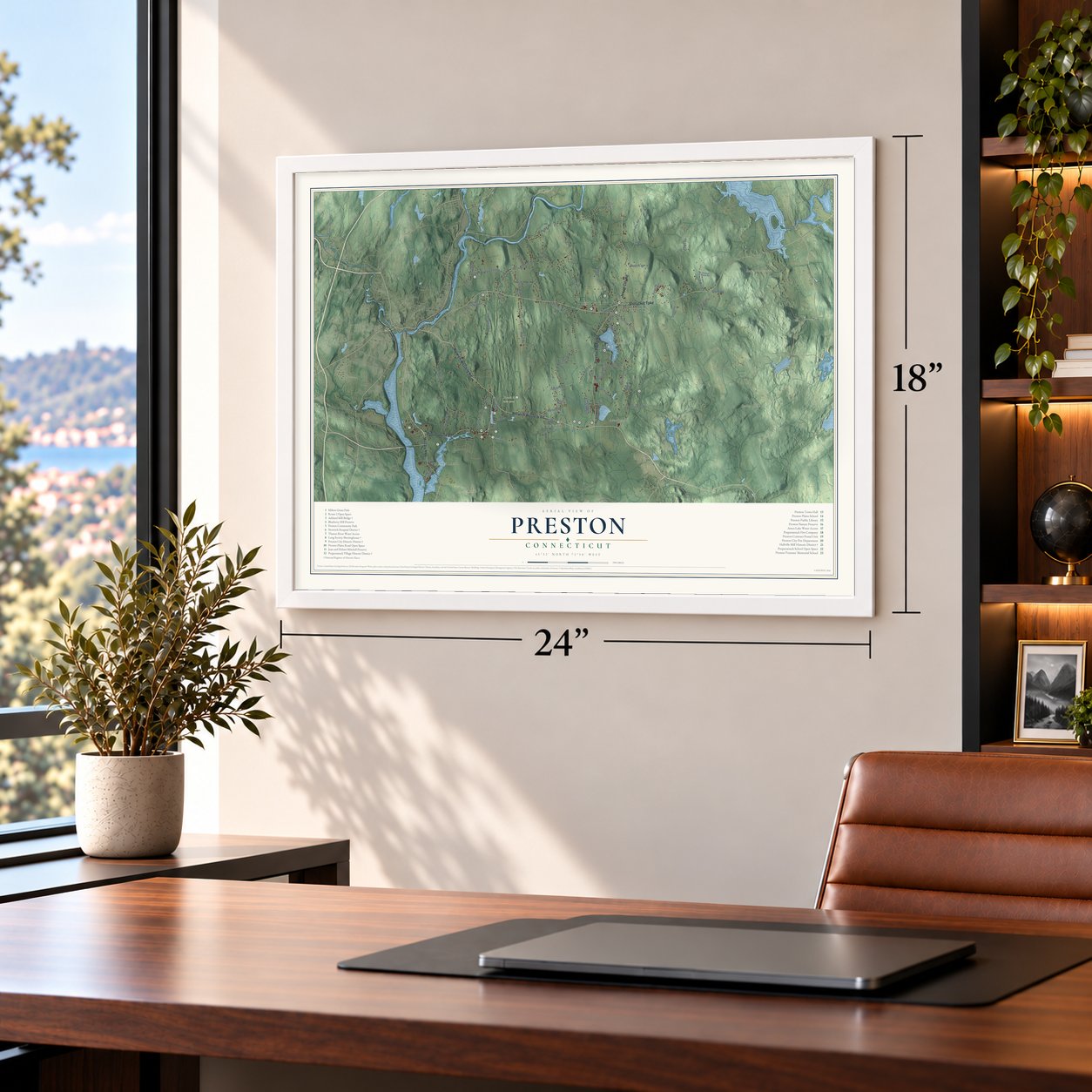
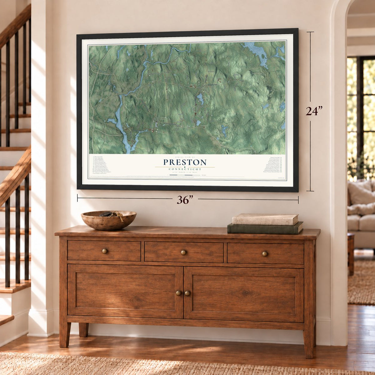
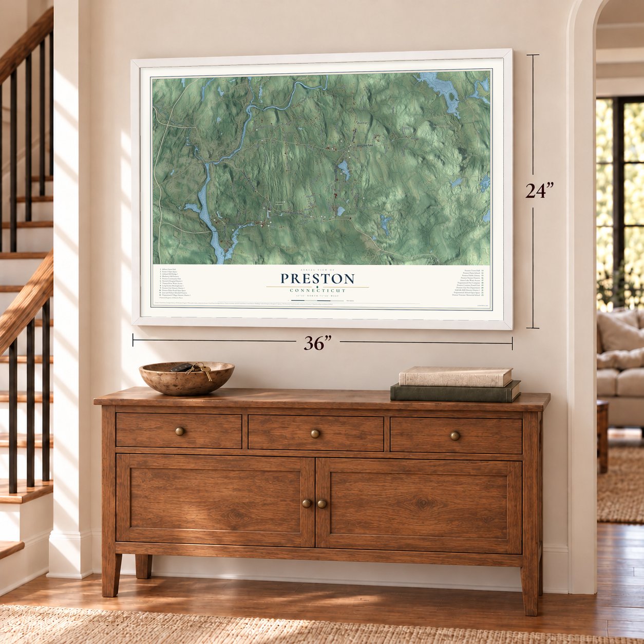
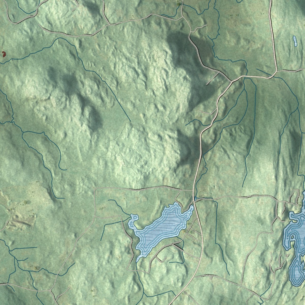
Explore Preston, Connecticut from a whole new perspective. Created using aerial imagery and detailed geographic data, this map captures Preston building by building, with labeled streets, familiar landmarks, and shaded topographical relief that highlights the natural contours of the landscape.
Combining modern data with the timeless character of a vintage atlas, this map is just as interesting up close as it is beautiful on the wall. Whether you grew up in Preston, spent memorable years there, or call it home today, this unique map is a great way to celebrate a place that means something to you. Zoom in on the preview to look for your street, and then order a print to put your memories on the wall.

Three ways to hang it
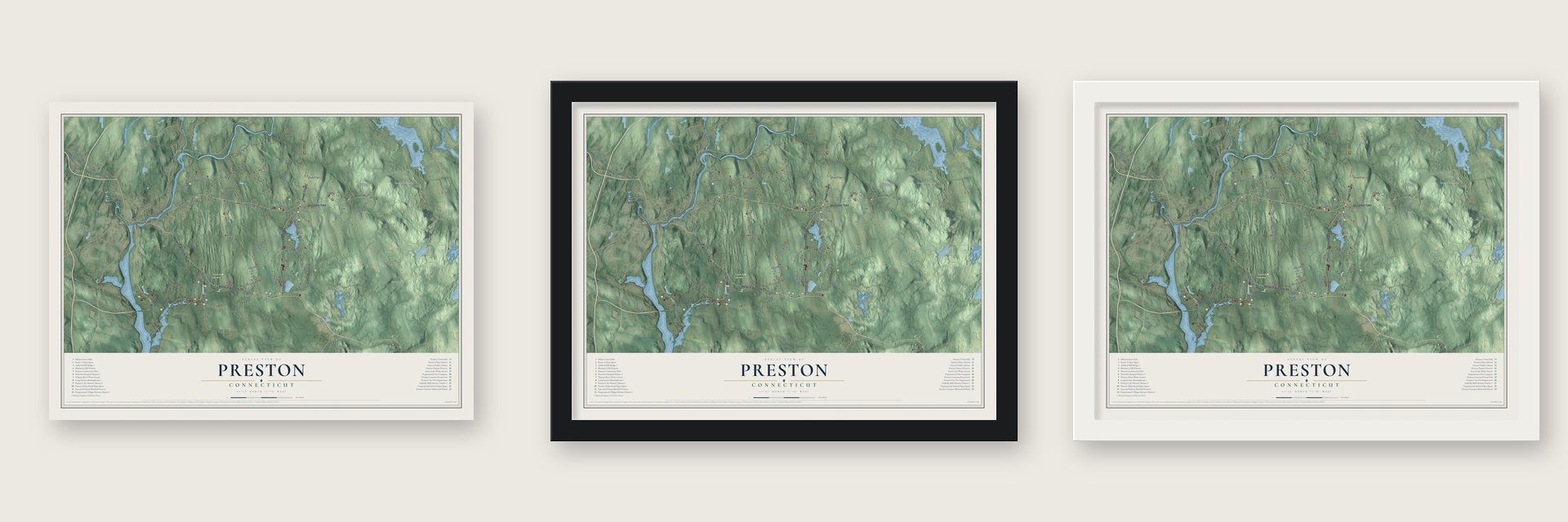
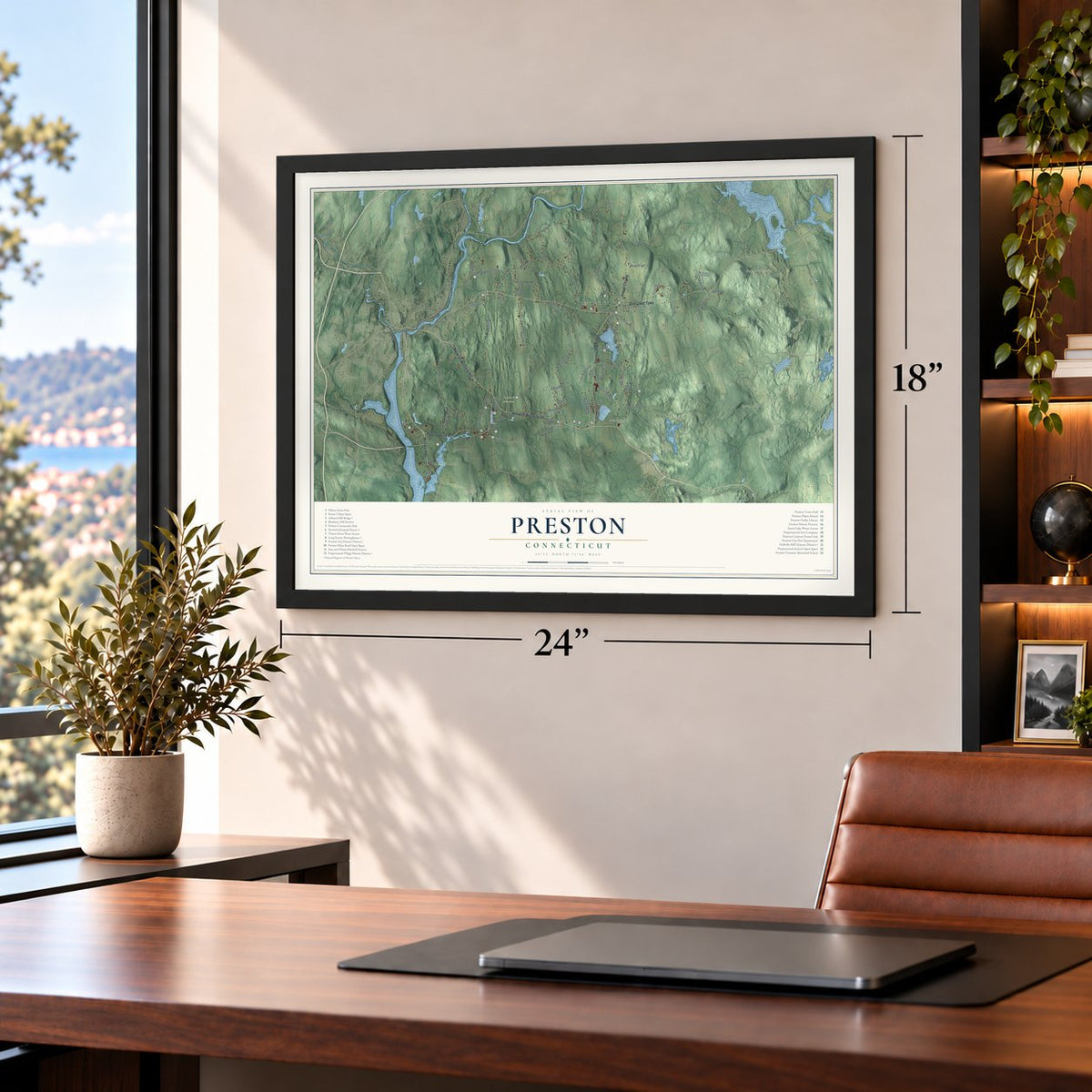
Unframed archival matte, a black wood frame or a white wood frame.
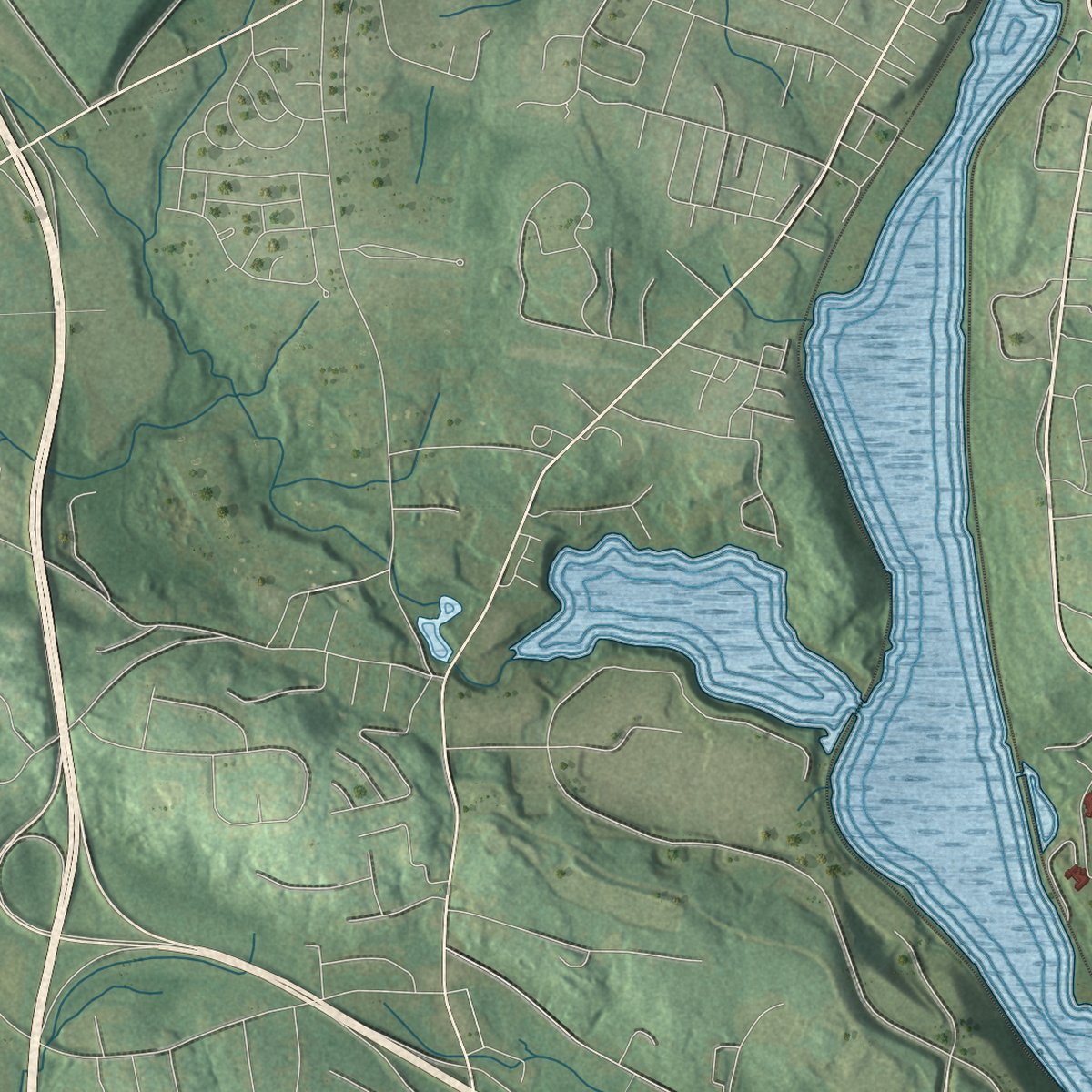
Up close
Geography Worth Displaying
This map was created using accurate cartographic data and authoritative geographic sources, including the U.S. Geological Survey (USGS) and FEMA. The map brings together terrain, waterways, roads, and building detail. The majority of the streets are labeled, houses are accurately depicted, and the topography is derived from government sources. Combining local data with carefully composed color and shading leads to this beautifully detailed Preston artwork for your wall.
Rather than simply showing street outlines, we’ve included as many of the street names as we could reasonably fit on the map while keeping their names legible. Zoom in on the high resolution preview to see exactly what’s on the map. We truly set out to create a statement piece for anyone who loves Preston. So whether it’s for you, or a gift for someone you love, we hope this map of Preston brings back fond memories.
Explore the full map of Preston, Connecticut and read about the local places it shows.
Find your street
Names on the Preston map
Every name below is printed on this map. Look for your street, your school, the park where you played, or the pond down the road.
Places and landmarks11
- Downtown
- Happyland
- Avery Hill
- Ayer Hill
- Barns Hill
- Bay Mountain
- Amos Lake
- Avery Pond
- Route 2 Open Space
- Shewville
- Preston City
Streets and roads69
- Military Highway
- Norwich-Westerly Road
- Norwich Westerly Road
- Shetucket Turnpike
- Preston Plains Road
- Jewett City Road
- Poquetanuck Road
- Old Jewett City Road
- Miller Road
- Krug Road
- Middle Road
- Brickyard Road
- Branch Hill Road
- Ross Road
- River Road
- Watson Road
- Lewis Road
- Parks Road
- Prodell Road
- Hollowell Road
- Roosevelt Avenue Extended
- Cooktown Road
- Lakeview Drive
- Brand Road
- Benjamin Road
- Radler Road
- Swantown Road
- Lincoln Park Road
- Rude Road
- Harris Fuller Road
Show all 69 streets
- Mattern Road
- Lynn Drive
- Pendleton Road
- Burdick Road
- Doolittle Road
- Preston Road
- School House Road
- Pierce Road
- Brown School Road
- McClimon Road
- Long Society Road
- Lake of Isles Road
- Tanglewood Drive Extended
- Drawbridge Road
- Spicer Road
- Julian Drive
- Rose Hill Road
- Ortega Drive
- Burton Road
- Mains Way
- Polly Road
- Avery Drive
- Stuart Drive
- Mathewson Mill Road
- Niewarowski Road
- Amos Road
- Stanton Lane
- Hallville Road
- Savage Road
- Kimball Farm Road
- Halls Mill Road
- Paster Road
- Northwest Corner Road
- Old Shetucket Turnpike
- Cedarcrest Drive
- Wheeler Farm Road
- Shewville Road
- Mello Drive
- Tyler Drive
Names are listed as they appear on the printed map. Zoom into the product photos to find them.
About Preston, Connecticut
Preston is a New London County town of 4,788 people, lying east of Norwich along the Thames River. In 1686 Thomas Parke, Thomas Tracy and several partners won the General Court's approval for a square tract, seven miles on each side, between Norwich and the towns of New London and Stonington. The next year Owaneco, son of the Mohegan sachem Uncas, confirmed the grant with a deed, and that October the town was incorporated under the name of Preston in Lancashire, England.
The boundary with Stonington was fixed in 1693 from a white oak cut with ten notches. Three villages grew up from the start: Preston City, the Long Society and Poquetanuck. Preston's farms fed the port of Norwich, and Preston City did best between the Revolution and about 1830. In 1815 the northern part of the town broke away and became Griswold.
“at our first Covenan'ting there was Six: and now there is neare Seventy members.”
- The galley from PoquetanuckPoquetanuck sits where a cove about three miles long meets the Thames. Capt. Jacob Meech, a Preston man who ran a tavern on the road above Preston City, sailed a galley out of Poquetanuck in April 1782 to Fire Island Inlet on Long Island, where he captured three British coasting vessels. When British galleys came and took the prizes back, his crew sank their own boat and made their way home over land.
- A meetinghouse left plainThe Long Society's Congregational parish built its first meetinghouse on Long Society Road in 1726. A Separate church also formed during the 1740s revival, ordained Jonathan Story as pastor in 1752 and lasted about thirteen years. From 1817 to 1819 a new one rose on the old site. With no settled minister, any denomination could use it; the town later bought it. The Long Society Meetinghouse, never given a tower or a moved pulpit, joined the National Register in 1976.
- Hall Brothers' woolen millA fulling mill stood on Indiantown Brook by 1752. In 1857 Joseph Hall Sr., an English-born weaver, built a woolen mill there, which his sons Joseph, Benjamin and George operated as Hall Brothers. After a June 3, 1873, fire, they rebuilt it to scour California wool on a machine they patented. By 1884 its 200 workers made flannels and yacht cloths; in 1888 it produced 860,000 yards. The mill burned in 1943, but Hallville manufactured until the 1960s.
- An airliner in a farm fieldOn August 4, 1954, an Air France Lockheed Super Constellation bound from Orly Airport in Paris to Idlewild in New York came down in a Preston farm field. Everyone on board survived the crash landing.
Keep exploring Connecticut
Preston is one of 376 Connecticut towns we've mapped. Every dot on the map is a print of its own.
The search covers every state, Connecticut first.
Near Preston
Order 2 or more town maps and save 10%. Shown in the size and finish you picked above, so they hang as a set.
- Mashantucket 12" x 18" / Archival Matte Print $39.99
- Norwich 12" x 18" / Archival Matte Print $39.99
- Mohegan 12" x 18" / Archival Matte Print $39.99
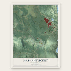
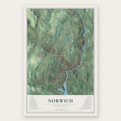
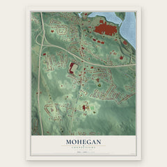
More maps nearby: Lisbon, Ledyard, Jewett City, Griswold and Baltic.
The art of mapping a place
How This Map Was Made
Real places. Remarkable detail. Discover the layers that turn geographic data into a map of home.

The view from above
Aerial imagery reveals the character of the land: woodland, open fields, and the patterns of a place.

The shape of the land
Elevation data brings hills, valleys, and subtle changes in the landscape into view.

The details of home
Roads, waterways, and building footprints come together to make the map feel unmistakably local.

Geography becomes art
Considered color, shading, and typography bring the layers together in a map made for your wall.


Process illustrated with Mendon, Massachusetts. Aerial imagery: USDA NAIP. Terrain: USGS 3D Elevation Program. Map details and finished artwork: KNOWOL.
The Details
About This Print
Choose an archival matte print, or a black or white Ayous wood frame. The archival matte print is unframed.
Select your size and finish above to see the matching product image and price.
Materials & Craftsmanship
A contemporary map with the character of a classic atlas, printed on archival matte paper. Optional frames are made from Ayous wood.
Your printed map does not include the watermark shown in the full-map preview.
Shipping & Delivery
Free shipping within the United States. Every print is made to order in the USA.
Buying a gift? Add a note in your cart and we'll include it. We never put prices in the package.
Prints ship within 2 to 3 business days. Allow 7 to 10 days total from ordering for delivery. Timing may vary during holidays or periods of high order volume.
Read our shipping policy.
Returns and damaged prints
Each print is made to order. Change-of-mind refunds are not available after production.
If your print arrives damaged, misprinted or incorrect, contact support@knowol.com within 30 days of receiving it. Include your order number, photos and a description of the issue.
Read our full refund and replacement policy. For questions about your order, email support@knowol.com.