
Search for another town




Free U.S. delivery 7 to 10 days after you order
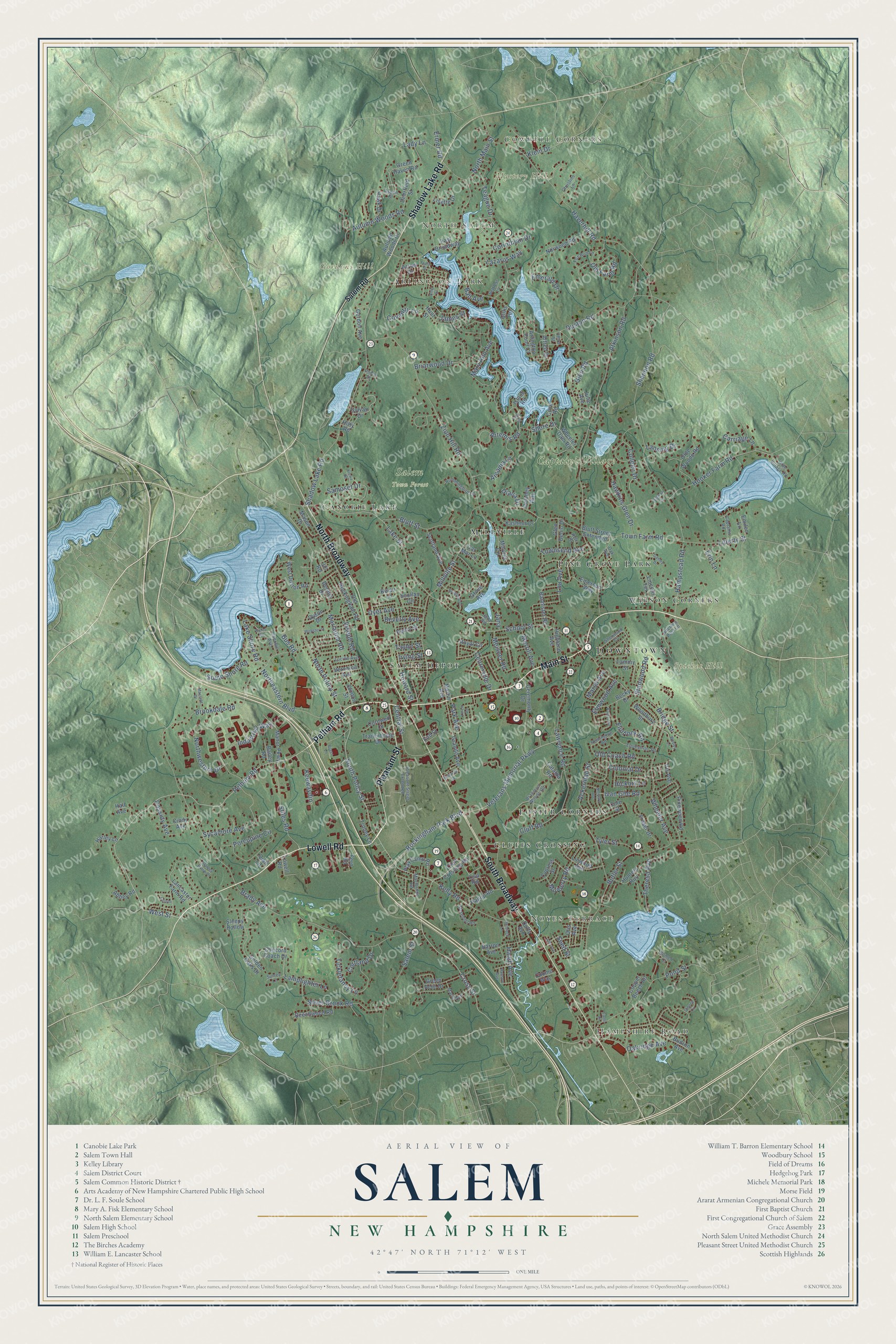
Salem, New Hampshire Map Art
Building by building, with labeled streets and shaded relief.
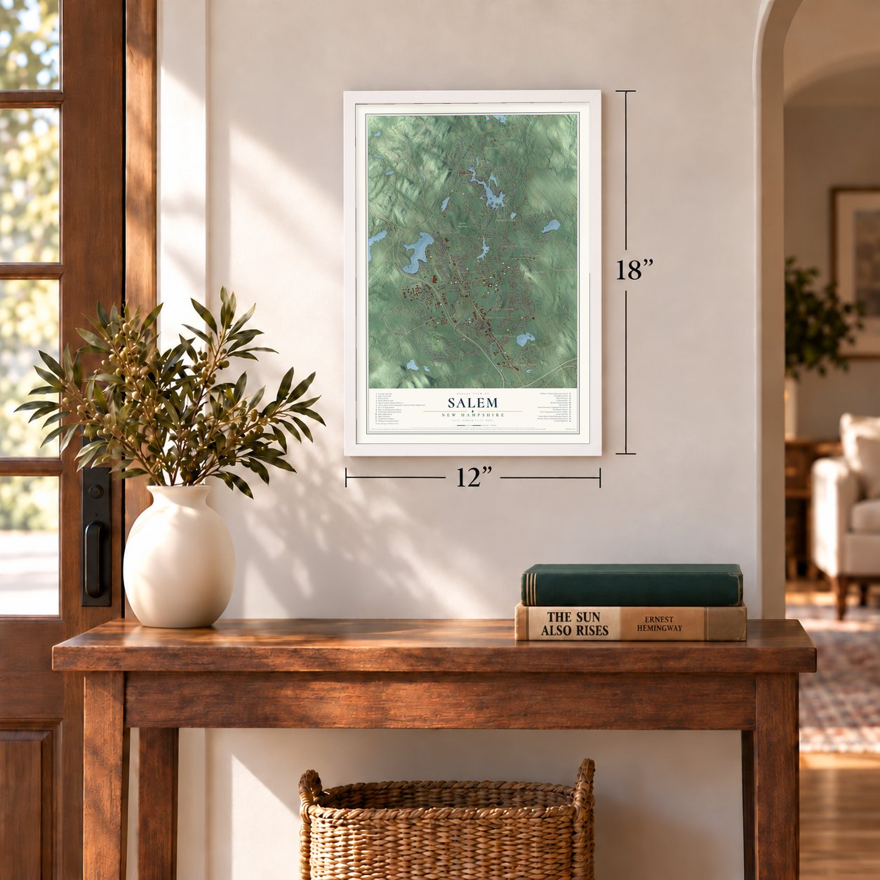
12" x 18" Archival Matte Print
A Map of Home. A Work of Art.
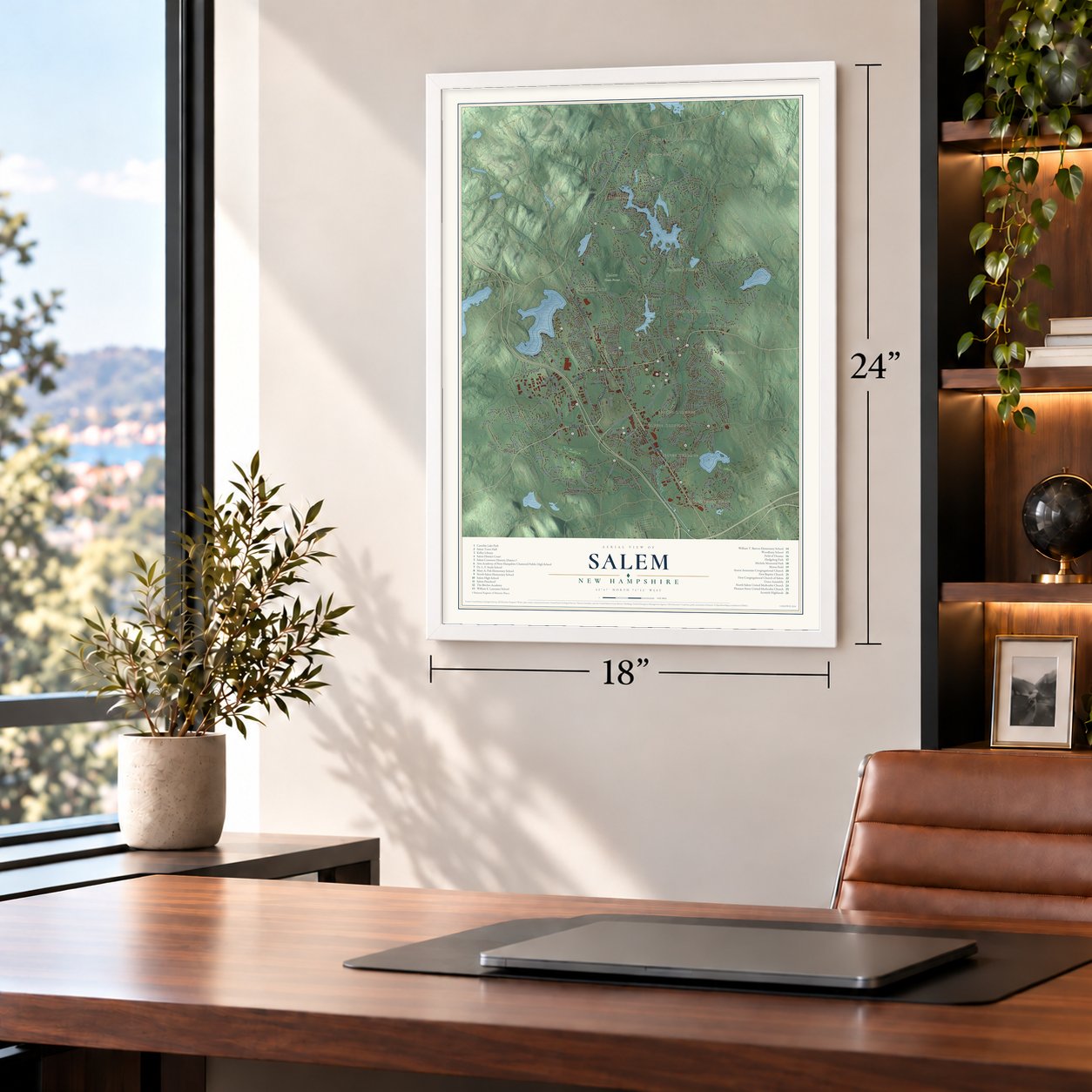
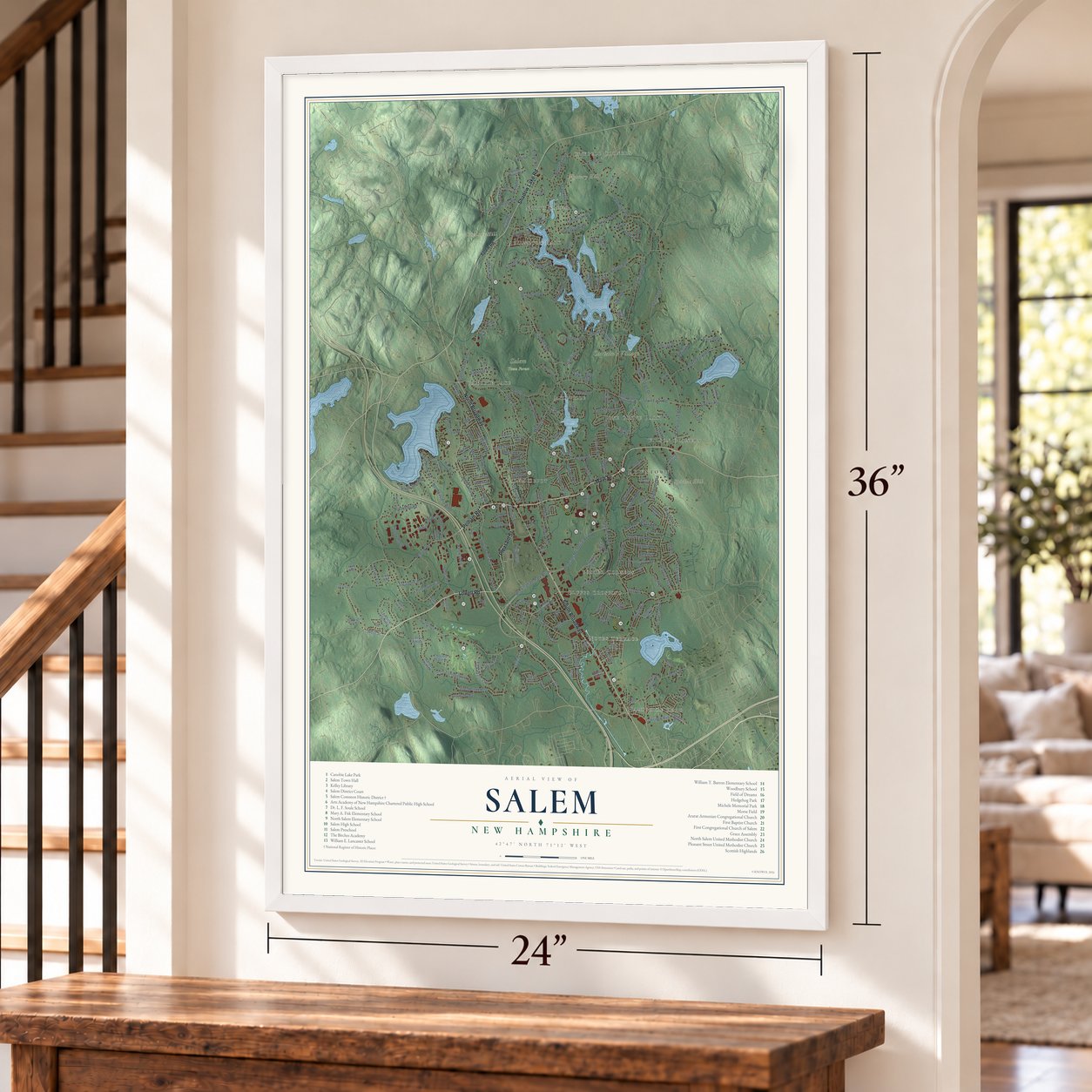
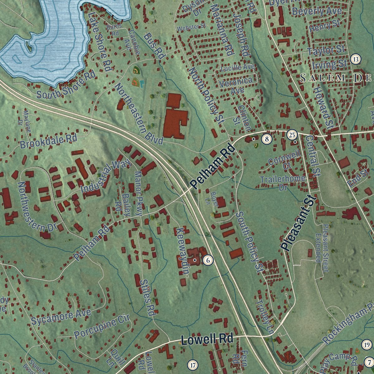
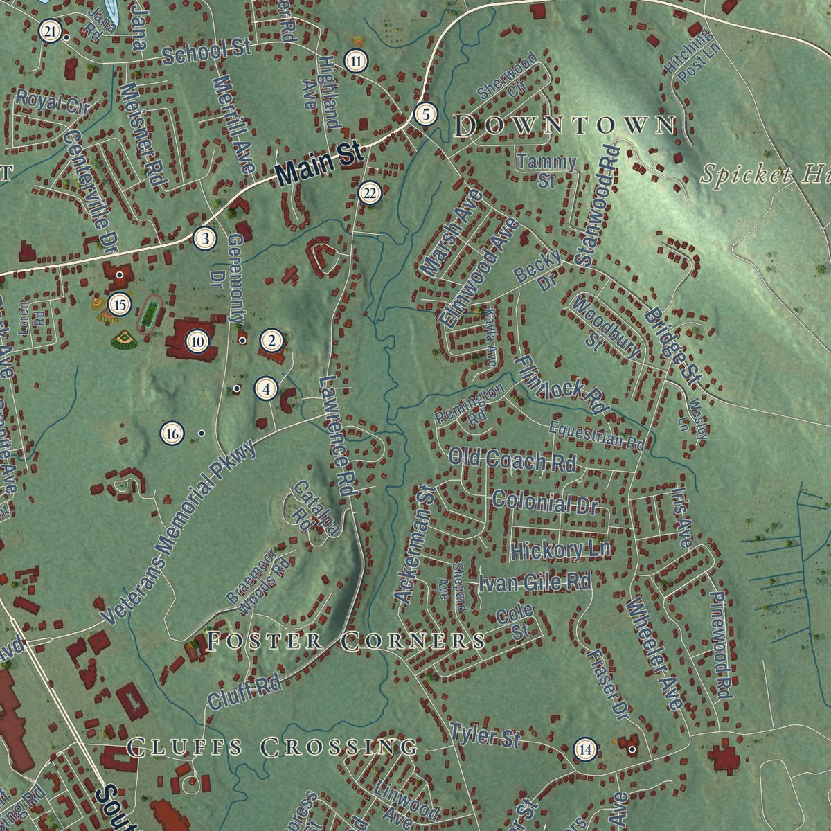
Explore Salem, New Hampshire from a whole new perspective. Created using aerial imagery and detailed geographic data, this map captures Salem building by building, with labeled streets, familiar landmarks, and shaded topographical relief that highlights the natural contours of the landscape.
Combining modern data with the timeless character of a vintage atlas, this map is just as interesting up close as it is beautiful on the wall. Whether you grew up in Salem, spent memorable years there, or call it home today, this unique map is a great way to celebrate a place that means something to you. Zoom in on the preview to look for your street, and then order a print to put your memories on the wall.
Three ways to hang it
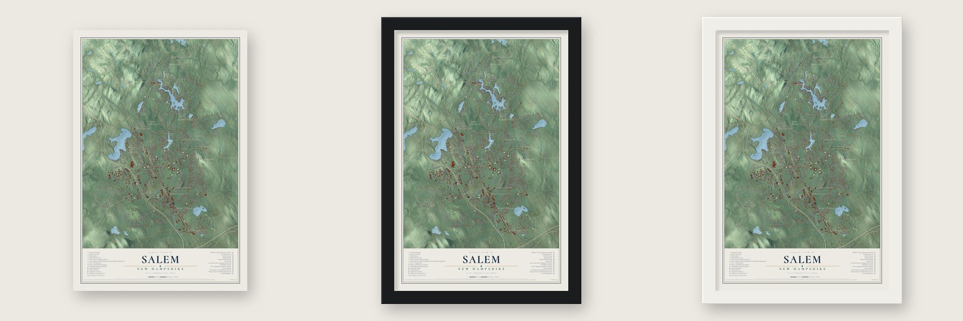
Unframed archival matte, a black wood frame or a white wood frame.
Up close
Geography Worth Displaying
This map was created using accurate cartographic data and authoritative geographic sources, including the U.S. Geological Survey (USGS) and FEMA. The map brings together terrain, waterways, roads, and building detail. The majority of the streets are labeled, houses are accurately depicted, and the topography is derived from government sources. Combining local data with carefully composed color and shading leads to this beautifully detailed Salem artwork for your wall.
Rather than simply showing street outlines, we’ve included as many of the street names as we could reasonably fit on the map while keeping their names legible. Zoom in on the high resolution preview to see exactly what’s on the map. We truly set out to create a statement piece for anyone who loves Salem. So whether it’s for you, or a gift for someone you love, we hope this map of Salem brings back fond memories.
Explore the full map of Salem, New Hampshire and read about the local places it shows.
Find your street
Names on the Salem map
Every name below is printed on this map. Look for your street, your school, the park where you played, or the pond down the road.
Places and landmarks18
- Downtown
- Cowbell Corners
- Hampshire Road
- North Salem
- Noyes Terrace
- Arlington Park
- Gordons Hill
- Mystery Hill
- Spicket Hill
- Captain's Village
- Salem Town Forest
- Salem Depot
Show all 18 places
- Foster Corners
- Canobie Lake
- Cluffs Crossing
- Pine Grove Park
- Millville
- Wilson Corners
Streets and roads243
- Main Street
- Pelham Road
- Lowell Road
- South Broadway
- North Broadway
- Pleasant Street
- Shadow Lake Road
- South Policy Street
- Cross Street
- Veterans Memorial Parkway
- West Street
- Rockingham Park Boulevard
- Lake Street
- School Street
- Bridge Street
- North Main Street
- Lawrence Road
- Shore Drive
- Brady Avenue
- Shannon Road
- Brookdale Road
- Millville Street
- Haverhill Road
- Bluff Street
- Zion Hill Road
- North Policy Street
- Wheeler Avenue
- Pond Street
- Hooker Farm Road
- Porcupine Circle
Show all 243 streets
- Atkinson Road
- Northeastern Boulevard
- Silver Brook Road
- Kelly Road
- Cluff Road
- Butler Street
- Northwestern Drive
- Town Farm Road
- Stiles Road
- Ticklefancy Lane
- Old Farm Road
- Teague Drive
- Townsend Avenue
- Salem Street
- Samoset Drive
- Hawkins Glen Drive
- Autumn Woods Road
- Lake Shore Road
- Hampstead Road
- Arcadia Lane
- Corinthian Drive
- Mary Ann Avenue
- Marianna Road
- Briarwood Drive
- Lamplighter Lane
- Central Street
- Stanwood Road
- Old Coach Road
- Artemis Road
- Oakridge Avenue
- South Shore Road
- Flintlock Road
- Ackerman Street
- Park Avenue
- Sycamore Avenue
- Colleen Drive
- Elmwood Avenue
- Industrial Way
- Ermer Road
- Liberty Street
- Duston Road
- Howard Street
- Centerville Drive
- Dyer Avenue
- Theresa Avenue
- Haigh Avenue
- Joseph Road
- Meisner Road
- Lou Avenue
- Lazarus Way
- Mulberry Road
- Colonial Drive
- Keewaydin
- Emerald Drive
- Cortland Drive
- Cassidy Avenue
- James Street
- Taylor Street
- Glen Road
- Lady Lane
- Beverly Avenue
- Merrill Avenue
- Marsh Avenue
- Tyler Street
- Ivan Gile Road
- Carriage Lane
- Seed Street
- Coventry Lane
- Hickory Lane
- Lansing Drive
- Ball Avenue
- Klein Drive
- Erin Lane
- Irving Street
- Diana Drive
- Bus Road
- Jana
- Salem Road
- Cluff Crossing Road
- Car Mar Lane
- Royal Circle
- East Broadway
- Old Rockingham Road
- Lancaster Farm Road
- Geremonty Drive
- Norwood Road
- Golden Oaks Drive
- Green Haven Road
- Grove Avenue
- Millville Circle
- Hawk Drive
- Budron Avenue
- Fraser Drive
- Granite Avenue
- Wheeler Dam Road
- Kashmir Drive
- Olde Woode Road
- Manor Parkway
- Bannister Road
- Cole Street
- Linwood Avenue
- Beechwood Road
- Barron Avenue
- Deerfield Street
- Scotland Avenue
- Play Camp Road
- Copper Beech Road
- Cypress Street
- Sylvan Drive
- West Duston Road
- Hagop Road
- Pinewood Road
- Hunt Street
- Concord Coach Drive
- Gordon Avenue
- Veronica Avenue
- Clinton Street
- Highland Avenue
- Cindy Avenue
- Cove Road
- Dyson Drive
- Dennis Drive
- Mason Drive
- Green Acre Drive
- Becky Drive
- Bluff Street Extended
- Woodbury Street
- Lincoln Terrace
- Hunters Run
- Catalpa Road
- Trailerhome Drive
- Emerson Way
- Cornwell Court
- Glen Denin Drive
- Scollay Circle
- Lisette Drive
- Sleepy Hollow
- Arlington Pond Court
- Henry Street
- Autumn Woods Drive
- Lisa Road
- Harley Lane
- Tammy Street
- Trolley Lane
- Hall Avenue
- Delaney Way
- Otis Avenue
- Fern Road
- Abbey Road
- Belair Lane
- Alfred Drive
- Cuomo Way
- Emileo Lane
- Bailey Road
- Iris Avenue
- Gillis Terrace
- Martin Avenue
- Julie Avenue
- Island Road
- Duffy Avenue
- Arrow Drive
- End Street
- Quill Lane
- Hitty Road
- Jill Road
- Pleasant Street Extended
- Sherwood Circle
- Braemoor Woods Road
- Lucille Avenue
- Maclarnon Road
- Equestrian Road
- Fox Run Lane
- Hitching Post Lane
- Marie Avenue
- Hummingbird Lane
- Remington Road
- Meredith Road
- Captains Road
- Olde Village Road
- Aspen Street
- Christine Lane
- Canobie Avenue
- Kyle Drive
- Jana Road
- Settlers Lane
- Surrey Lane
- Romeo Court
- Union Street
- Third Street
- Oak Avenue
- Bradford Drive
- Shepard Avenue
- Ganley Drive
- Stanley Brook Drive
- Kayla Avenue
- Gibney Circle
- Wesley Lane
- Webster Street
- Maylane Drive
- King Street
- Loren Road
- Galway Lane
- Belmont Street
- Hemlock Lane
- Kiowa Road
- Ann Avenue
- Nelson
- Hanson Avenue
- Boyer Lane
- Burns Road
- Eagle Drive
- Frary Street
- Ford Street
Names are listed as they appear on the printed map. Zoom into the product photos to find them.
About Salem, New Hampshire
Salem is a town of 30,089 people in Rockingham County, along the Massachusetts state line. Settlers arrived in 1652, and by 1736 the area was known as the North Parish of Methuen, Massachusetts. In 1741 the border between Massachusetts and New Hampshire was settled, which placed the parish on the New Hampshire side, and it took its name from Salem, Massachusetts. Governor Benning Wentworth made it a town in 1750.
The parish built its meetinghouse in 1738, and the building still stands. Religious services there ended in 1838, the same year it was moved next to the common, and it went on to serve as the town's civic center into the 1940s. A court met upstairs from 1961 to 1973, and the Salem Historical Society has kept its museum there since 1981. The common, laid out around 1741, is the center of the Salem Common Historic District, which joined the National Register in 2011.
- The common and its graveyardBesides the old meetinghouse, the historic district around the common takes in an 1861 district schoolhouse that now serves as a branch library, a fire station from 1906, the town's war memorials and Salem's first burying ground, where rows of graves sit inside a rubblestone wall above the Spicket River.
- Canobie Lake Park, 1902The Massachusetts Northeast Street Railway Company opened the park on August 23, 1902, to sell trolley rides, and crowds came from mill cities like Lowell, Lawrence and Manchester. As cars replaced trolleys, it closed in 1929 and was auctioned in 1931 for house lots. Patrick J. Holland, an Irish-born contractor, paid $17,000 for it and reopened it in 1932. Its Dancehall Theater drew Duke Ellington, Frank Sinatra and Ella Fitzgerald, and three families have owned it since 1958.
- Stone chambers on Mystery HillWilliam Goodwin bought this wooded hilltop of stone chambers and walls in 1937 and named it Mystery Hill. He believed Irish monks had built it, an idea now treated as pseudoarchaeology, while many credit Jonathan Pattee, whose house stood in those woods, with building it in the nineteenth century. Charcoal from the site shows the hill was lived on 4,000 years ago. Since 1982 the site, about 30 acres, has been called America's Stonehenge.
- Seabiscuit at Rockingham ParkRockingham Park's mile-long track, near the old railroad depot, opened with its first race meet in 1906. In 1911 it staged the first aviation meet held anywhere in northern New England, and Seabiscuit raced there in 1935 and 1936. Duffy Lewis, the Red Sox outfielder whose play on Fenway Park's sloped left field gave Duffy's Cliff its name, retired to Salem and kept box seats there. Tuscan Village has been rising on the old track grounds since 2017.
Keep exploring New Hampshire
Salem is one of 264 New Hampshire towns we've mapped. Every dot on the map is a print of its own.
The search covers every state, New Hampshire first.
Near Salem
Order 2 or more town maps and save 10%. Shown in the size and finish you picked above, so they hang as a set.
- North Salem 12" x 18" / Archival Matte Print $39.99
- Windham 12" x 18" / Archival Matte Print $39.99
- Atkinson 12" x 18" / Archival Matte Print $39.99

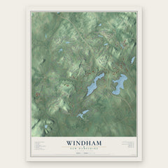
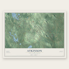
More maps nearby: Hampstead, Pelham, Derry, Plaistow and Hudson.
The art of mapping a place
How This Map Was Made
Real places. Remarkable detail. Discover the layers that turn geographic data into a map of home.

The view from above
Aerial imagery reveals the character of the land: woodland, open fields, and the patterns of a place.

The shape of the land
Elevation data brings hills, valleys, and subtle changes in the landscape into view.

The details of home
Roads, waterways, and building footprints come together to make the map feel unmistakably local.

Geography becomes art
Considered color, shading, and typography bring the layers together in a map made for your wall.


Process illustrated with Mendon, Massachusetts. Aerial imagery: USDA NAIP. Terrain: USGS 3D Elevation Program. Map details and finished artwork: KNOWOL.
The Details
About This Print
Choose an archival matte print, or a black or white Ayous wood frame. The archival matte print is unframed.
Select your size and finish above to see the matching product image and price.
Materials & Craftsmanship
A contemporary map with the character of a classic atlas, printed on archival matte paper. Optional frames are made from Ayous wood.
Your printed map does not include the watermark shown in the full-map preview.
Shipping & Delivery
Free shipping within the United States. Every print is made to order in the USA.
Buying a gift? Add a note in your cart and we'll include it. We never put prices in the package.
Prints ship within 2 to 3 business days. Allow 7 to 10 days total from ordering for delivery. Timing may vary during holidays or periods of high order volume.
Read our shipping policy.
Returns and damaged prints
Each print is made to order. Change-of-mind refunds are not available after production.
If your print arrives damaged, misprinted or incorrect, contact support@knowol.com within 30 days of receiving it. Include your order number, photos and a description of the issue.
Read our full refund and replacement policy. For questions about your order, email support@knowol.com.