


Search for another town






Free U.S. delivery 7 to 10 days after you order
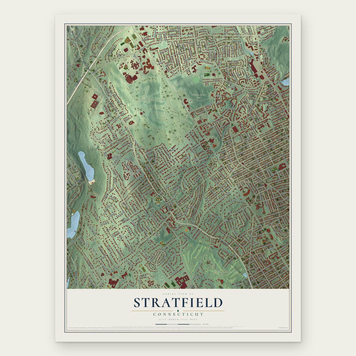
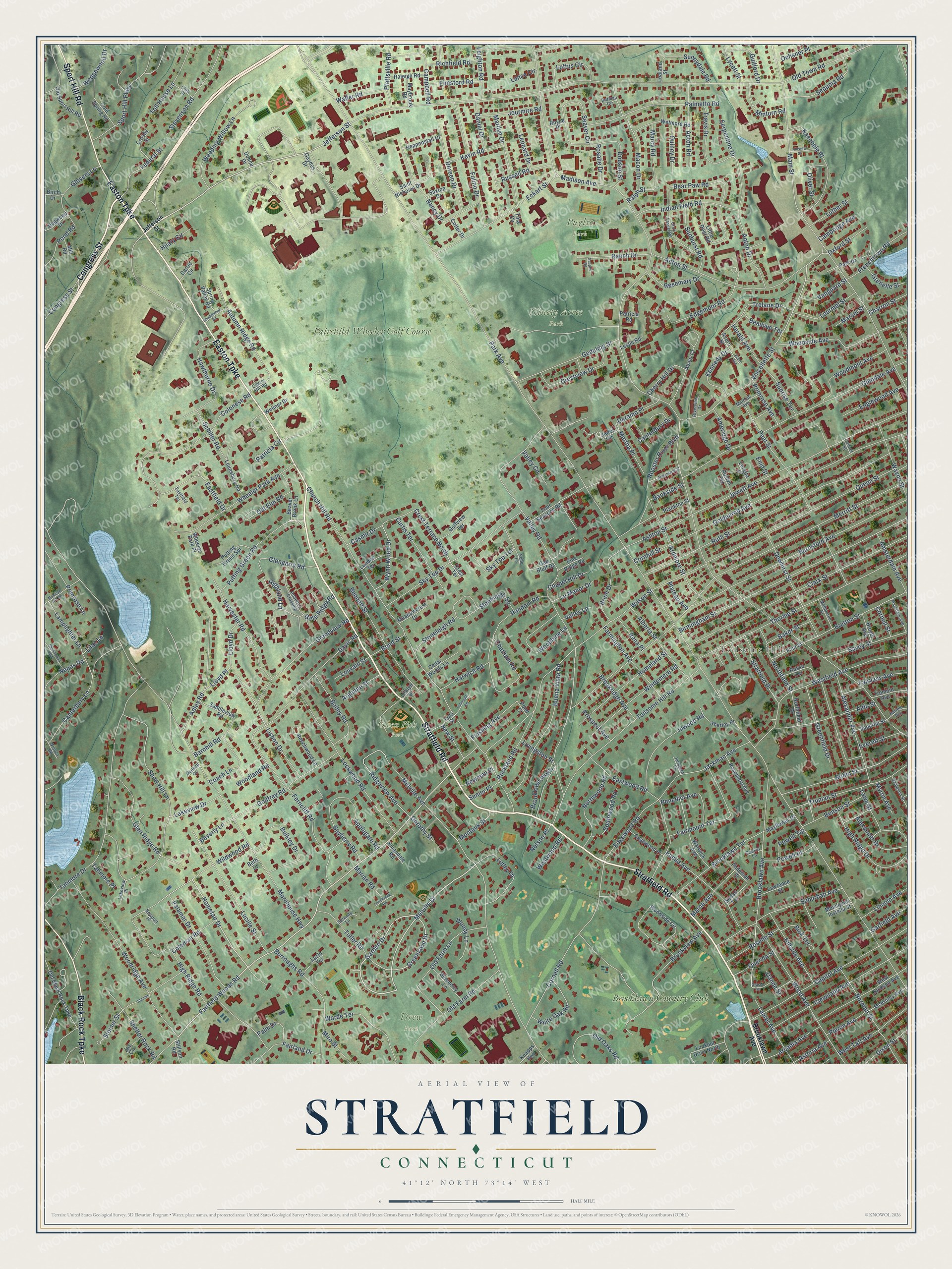
Stratfield, Connecticut Map Art
Building by building, with labeled streets and shaded relief.
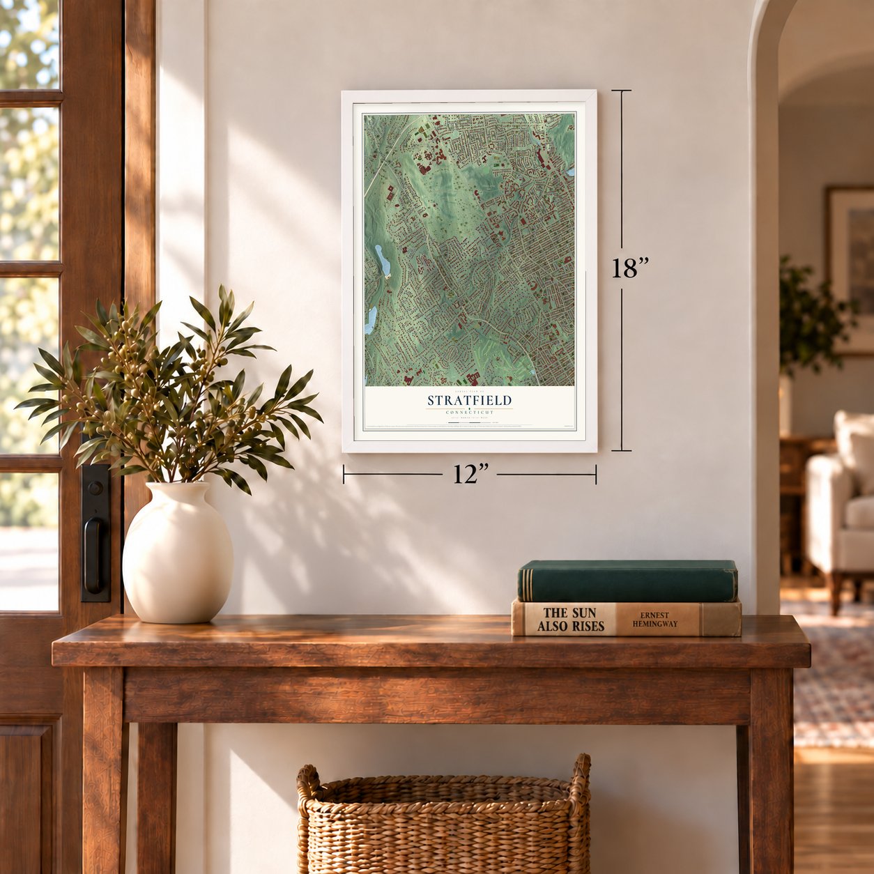
12" x 18" Archival Matte Print
A Map of Home. A Work of Art.
Explore Stratfield, Connecticut from a whole new perspective. Created using aerial imagery and detailed geographic data, this map captures Stratfield building by building, with labeled streets, familiar landmarks, and shaded topographical relief that highlights the natural contours of the landscape.
Combining modern data with the timeless character of a vintage atlas, this map is just as interesting up close as it is beautiful on the wall. Whether you grew up in Stratfield, spent memorable years there, or call it home today, this unique map is a great way to celebrate a place that means something to you. Zoom in on the preview to look for your street, and then order a print to put your memories on the wall.
Three ways to hang it
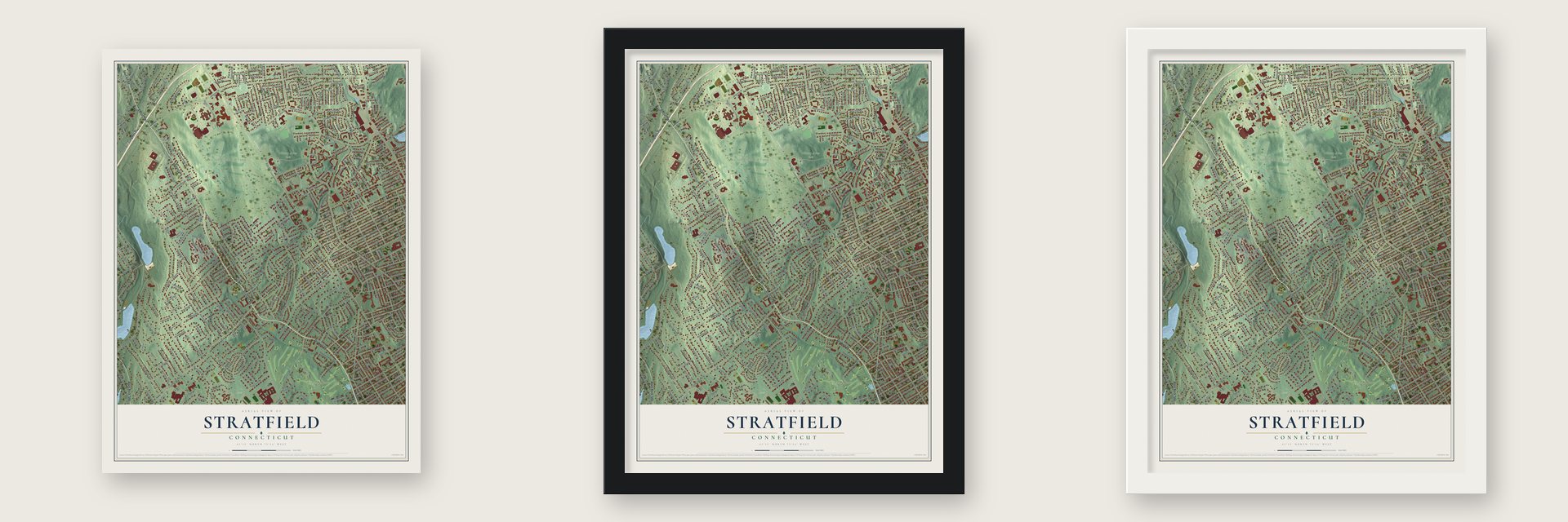
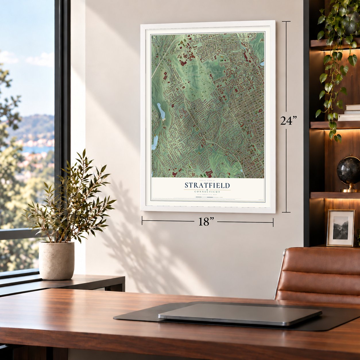
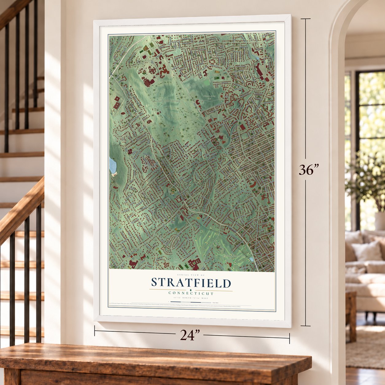
Unframed archival matte, a black wood frame or a white wood frame.
Up close
Geography Worth Displaying
This map was created using accurate cartographic data and authoritative geographic sources, including the U.S. Geological Survey and the Census Bureau. The map brings together terrain, waterways, roads, and building detail. The majority of the streets are labeled, houses are accurately depicted, and the topography is derived from government sources. Combining local data with carefully composed color and shading leads to this beautifully detailed Stratfield artwork for your wall.
Rather than simply showing street outlines, we’ve included as many of the street names as we could reasonably fit on the map while keeping their names legible. Zoom in on the high resolution preview to see exactly what’s on the map. We truly set out to create a statement piece for anyone who loves Stratfield. So whether it’s for you, or a gift for someone you love, we hope this map of Stratfield brings back fond memories.
Read the story behind this map: Detailed Map of Stratfield, Connecticut.

Find your street
Names on the Stratfield map
Every name below is printed on this map. Look for your street, your school, the park where you played, or the pond down the road.
Places and landmarks7
- Toilsome Hill
- Ninety Acres Park
- Owen Fish Park
- Puglio Park
- Drew Park
- Brooklawn Country Club
- Fairchild Wheeler Golf Course
Streets and roads384
- Stratfield Road
- Congress Street
- Easton Turnpike
- Black Rock Turnpike
- Sport Hill Road
- Church Hill Road
- Garden Drive
- Melville Drive
- Putting Green Road
- Fairfield Woods Road
- Jefferson Street
- Grandview Road
- Homefair Drive
- Greenlawn Drive
- Brooklawn Avenue
- Vincellette Street
- Crest Terrace North
- Park Avenue
- Madison Avenue
- Old Town Road
- Morehouse Highway
- Valley Road
- Melville Avenue
- Merritt Street
- Main Street
- Ruth Street
- Queen Street
- Tahmore Drive
- Birmingham Street
- Clark Street
Show all 384 streets
- Burnsford Avenue
- Wilson Street
- Jewett Avenue
- Thorme Street
- Goldenrod Avenue
- Toilsome Hill Road
- Glendale Avenue
- Davis Road
- Jackman Avenue
- Lakeview Drive
- Peet Street
- Westfield Avenue
- Woodridge Avenue
- Cornell Road
- Capitol Avenue
- Cleveland Avenue
- Lockwood Road
- Anton Street
- Sky Top Drive
- Wood Avenue
- High Ridge Road
- Woodside Avenue
- High Ridge Drive
- Eastfield Drive
- Buena Vista Road
- Eckart Street
- Lucille Street
- Wheeler Park Avenue
- Anton Drive
- Suburban Avenue
- Dewhirst Street
- Palmetto Road
- Robin Street
- Burroughs Road
- Old Farm Lane
- Nancy Drive
- Random Road
- Folino Drive
- Canterbury Lane
- Short Hill Lane
- Truman Street
- Godfrey Road
- Glen Ridge Road
- Adley Road
- Sport Hill Parkway
- Rooster River Boulevard
- Stoneleigh Square
- Kaechele Place
- Fairmount Terrace
- Harvester Road
- Gate Ridge Road
- Inwood Road
- Ferncliff Road
- Bennett Street
- Brooklawn Parkway
- Seaver Circle
- Bulkley Drive
- Ardmore Street
- Alexander Avenue
- Bretton Street
- Homeland Street
- Old Farm Road
- Norman Street
- Colonese Road
- Brooklawn Terrace
- Macon Drive
- Autumn Ridge Road
- Geduldig Street
- Frenchtown Road
- Windemere Road
- Palamar Drive
- Euclid Avenue
- Glengarry Road
- Stevenson Road
- Indian Field Road
- Aldo Street
- Ridgeview Avenue
- Weeping Willow Lane
- Woodmont Avenue
- Bear Paw Road
- Warde Terrace
- Woodbine Lane
- Steiner Street
- Hawthorne Drive
- Marilyn Drive
- Farmington Avenue
- Linley Drive
- Crestview Drive
- Alberta Street
- Cherry Hill Drive
- Northwood Road
- Sky Top Terrace
- Brion Drive
- Doreen Drive
- Bailey Road
- Lamplighter Lane
- Savoy Street
- Campbell Road
- Sequoia Road
- Acton Road
- Curtis Terrace
- Edgemoor Road
- Old Oaks Road
- Glovers Lane
- Edgewood Road
- Shelter Rock Road
- Hillside Avenue
- West Taft Avenue
- Greenfield Drive
- Wayne Street
- Toll House Lane
- Applegate Road
- Dobson Street
- Stratfield Place
- Casmir Drive
- Lloyd Drive
- Rockland Road
- Fairland Drive
- White Oak Road
- Laurel Avenue
- Ranch Drive
- Primrose Lane
- Ashton Street
- Chatham Road
- Brookview Avenue
- Old Elm Road
- Schiller Road
- Sunburst Road
- Wynn Wood Drive
- Northfield Street
- Lourmel Street
- Benedict Avenue
- Tuller Road
- Bayberry Road
- Coach Lane
- Benson Street
- Cornhill Street
- Englewood Avenue
- Federal Street
- Southwood Road
- Amsterdam Avenue
- Loftus Circle
- Wildwood Road
- Eastwood Road
- Alexander Drive
- Kennedy Drive
- Travis Drive
- Plattsville Road
- Quincy Drive
- Jourmire Road
- Arcadia Avenue
- Roselle Street
- Sunnydale Road
- Marne Avenue
- Lisbon Drive
- Rosemary Drive
- Marcy Road
- Sunrise Terrace
- Minturn Road
- Russell Road
- Brookridge Avenue
- Flushing Avenue
- Leonard Drive
- Kevin Road
- Guilford Drive
- Martha Place
- Stoneleigh Road
- Wedgewood Drive
- Powell Place
- Harwich Road
- Bick Terrace
- Lincoln Avenue
- Leighton Road
- Trelane Drive
- Elmsford Road
- Dixon Street
- Coleman Road
- Richfield Road
- Vanguard Street
- Nepas Road
- Waller Road
- Primrose Avenue
- Pond Road
- Barnhill Road
- Luther Street
- Daniel Drive
- Fairview Avenue
- Herald Avenue
- Deramo Place
- Baker Street
- Lawn Street
- Palm Drive
- Ochsner Place
- Grenelle Street
- Oxford Street
- Pierce Avenue
- Lu Manor Drive
- Querida Street
- Woody Lane
- Beauvue Terrace
- Montauk Street
- Argonne Street
- Powell Terrace
- Ameridge Drive
- Astoria Avenue
- Marian Road
- Everett Street
- Garfield Avenue
- Cambridge Avenue
- Patricia Circle
- Westwood Road
- Louvain Street
- Chapel Hill Drive
- Charron Street
- Prospect Avenue
- Lycett Street
- Miro Street
- Beverly Lane
- Valley Circle
- Rena Place
- Canterbury Drive
- Bond Street
- Rosalie Drive
- Hilary Circle
- Serpentine Drive
- New Street
- Livingston Street
- Tahmore Place
- Woodland Road
- Bankside Street
- Ralph Street
- Newman Place
- Highland Lane
- Oliver Street
- Lloyd Place
- Marcel Street
- Senior Place
- Myron Avenue
- Plateau Avenue
- Dorothy Street
- Nelson Place
- Cornell Street
- Valley Lane
- Dande Street
- Lance Circle
- Lilac Lane
- Enid Street
- Woodside Circle
- West Jackson Avenue
- Little Deer Road
- Crest Terrace
- Old Black Rock Turnpike
- Warwick Avenue
- Northfield Drive
- Old Sport Hill Road
- Beechwood Lane
- Wetmore Road
- Lounsbury Road
- Saint Nicholas Drive
- Cold Spring Road
- Beaver Brook Lane
- Plankton Street
- Lookout Drive North
- McKinley Avenue
- London Terrace
- Putting Green Spr
- Saddleview Road
- Blueberry Lane
- Rosemere Avenue
- Russo Terrace
- Edgewood Place
- Sherley Place
- Philemon Street
- Heppenstall Drive
- Janet Circle
- Park Drive
- Raleigh Road
- Cedar Woods Lane
- Golfview Terrace
- Tremont Avenue
- Four Seasons Road
- Flint Street
- Crosby Street
- Meadowcrest Drive
- Acorn Street
- Mayflower Drive
- Imperial Street
- Lawrence Street
- Spring Valley Road
- Maybrook Road
- Breyer Avenue
- Lola Street
- Saxton Drive
- Lilalyn Drive
- Lazlo Terrace
- Pine Ridge Road
- Dogwood Drive
- Wellner Drive
- Hillandale Road
- Monsignor Insiella Street
- Roslyn Terrace
- Oak Bluff Drive
- Loretta Place
- Abner Court
- Donna Drive
- Gaydos Drive
- Stillson Road
- Leslie Road
- Knapps Highway
- Cotter Drive
- Lealand Street
- Sedan Terrace
- Jay Circle
- Wheeler Park Place
- Carrie Circle
- Royce Place
- Patricia Road
- Birch Drive
- Pond Court
- Mill Road
- Tina Circle
- Beth Drive
- Corn Tassel Road
- Roberton Crossing
- Marsdale Avenue
- Sampson Street
- Melbourne Street
- Marconi Avenue
- Club Drive
- Harlem Avenue
- Winoca Road
- Riverview Drive
- Serenity Lane
- Lakeview Place
- Jackman Place
- Cherry Hill Road
- Eastfield Terrace
- Echo Lane
- Newport Place
- Derman Circle
- Cricket Lane
- Bunnell Circle
- Conner Street
- Mohican Hill Road
- Acorn Avenue
- Albermarle Street
- Saxonwood Road
- Hillview Street
- Shadybrook Road
- Falmouth Road
- Grasso Terrace
- Littlebrook Road
- Steiner
- Gaspee Road
Names are listed as they appear on the printed map. Zoom into the product photos to find them.
About Stratfield, Connecticut
This village was first called Pequonnock. In May 1694 it won leave to organize a church, and its name became Fairfield Village. In May 1701 the Court renamed it Stratfield. Back in 1692, the town of Stratford had agreed to let the neighbors set part of their meeting house on its land.
Stratfield laid the foundation of its first church in 1693. No more than 75 adults lived there then. The church was finished in 1695. Its pastor, the Rev. Charles Chauncey, also taught school for years. Before 1700 the village had two schools.
- The old toll roadBy the late 1700s, the main road from Stratfield to Easton was nearly impassable. In 1797 a turnpike company was chartered to fix it and charge tolls. The tolls lasted until 1886, when Fairfield County made its turnpikes free. Stratfield was later absorbed into Bridgeport.
Keep exploring Connecticut
Stratfield is one of 382 Connecticut towns we've mapped. Every dot on the map is a print of its own.
The search covers every state, Connecticut first.
Near Stratfield
Order 2 or more town maps and save 10%. Shown in the size and finish you picked above, so they hang as a set.
- Sacred Heart University 12" x 18" / Archival Matte Print $39.99
- Plattsville 12" x 18" / Archival Matte Print $39.99
- Bridgeport 12" x 18" / Archival Matte Print $39.99

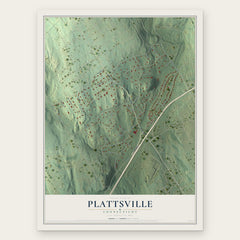
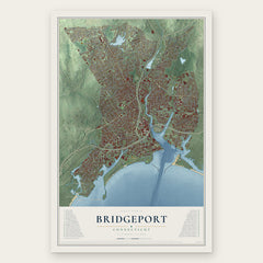
More maps nearby: Fairfield, Murray, Fairfield University, Black Rock and Trumbull Center.
The art of mapping a place
How This Map Was Made
Real places. Remarkable detail. Discover the layers that turn geographic data into a map of home.

The view from above
Aerial imagery reveals the character of the land: woodland, open fields, and the patterns of a place.

The shape of the land
Elevation data brings hills, valleys, and subtle changes in the landscape into view.

The details of home
Roads, waterways, and building footprints come together to make the map feel unmistakably local.

Geography becomes art
Considered color, shading, and typography bring the layers together in a map made for your wall.


Process illustrated with Mendon, Massachusetts. Aerial imagery: USDA NAIP. Terrain: USGS 3D Elevation Program. Map details and finished artwork: KNOWOL.
The Details
About This Print
Choose an archival matte print, or a black or white Ayous wood frame. The archival matte print is unframed.
Select your size and finish above to see the matching product image and price.
Materials & Craftsmanship
A contemporary map with the character of a classic atlas, printed on archival matte paper. Optional frames are made from Ayous wood.
Your printed map does not include the watermark shown in the full-map preview.
Shipping & Delivery
Free shipping within the United States. Every print is made to order in the USA.
Buying a gift? Add a note in your cart and we'll include it. We never put prices in the package.
Prints ship within 2 to 3 business days. Allow 7 to 10 days total from ordering for delivery. Timing may vary during holidays or periods of high order volume.
Read our shipping policy.
Returns and damaged prints
Each print is made to order. Change-of-mind refunds are not available after production.
If your print arrives damaged, misprinted or incorrect, contact support@knowol.com within 30 days of receiving it. Include your order number, photos and a description of the issue.
Read our full refund and replacement policy. For questions about your order, email support@knowol.com.