
Search for another town





Free U.S. delivery 7 to 10 days after you order
Summerlin, Nevada Map Art
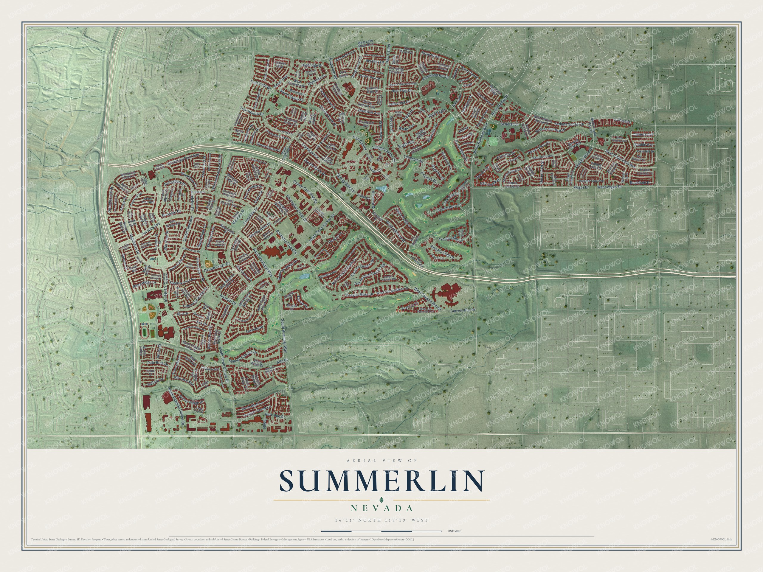
A new map of Summerlin, Nevada, made in 2026 and printed to order on thick archival matte paper.
12" x 18" Archival Matte Print
A Map of Home. A Work of Art.
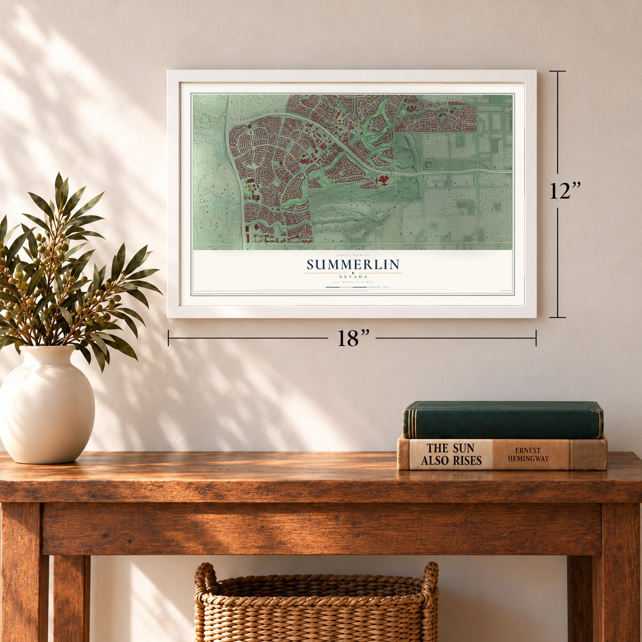
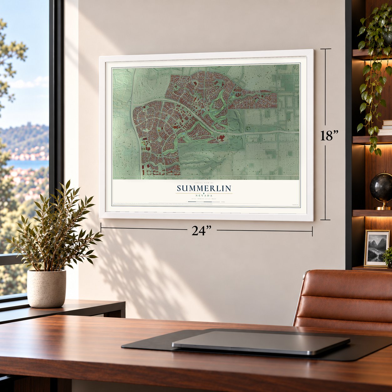
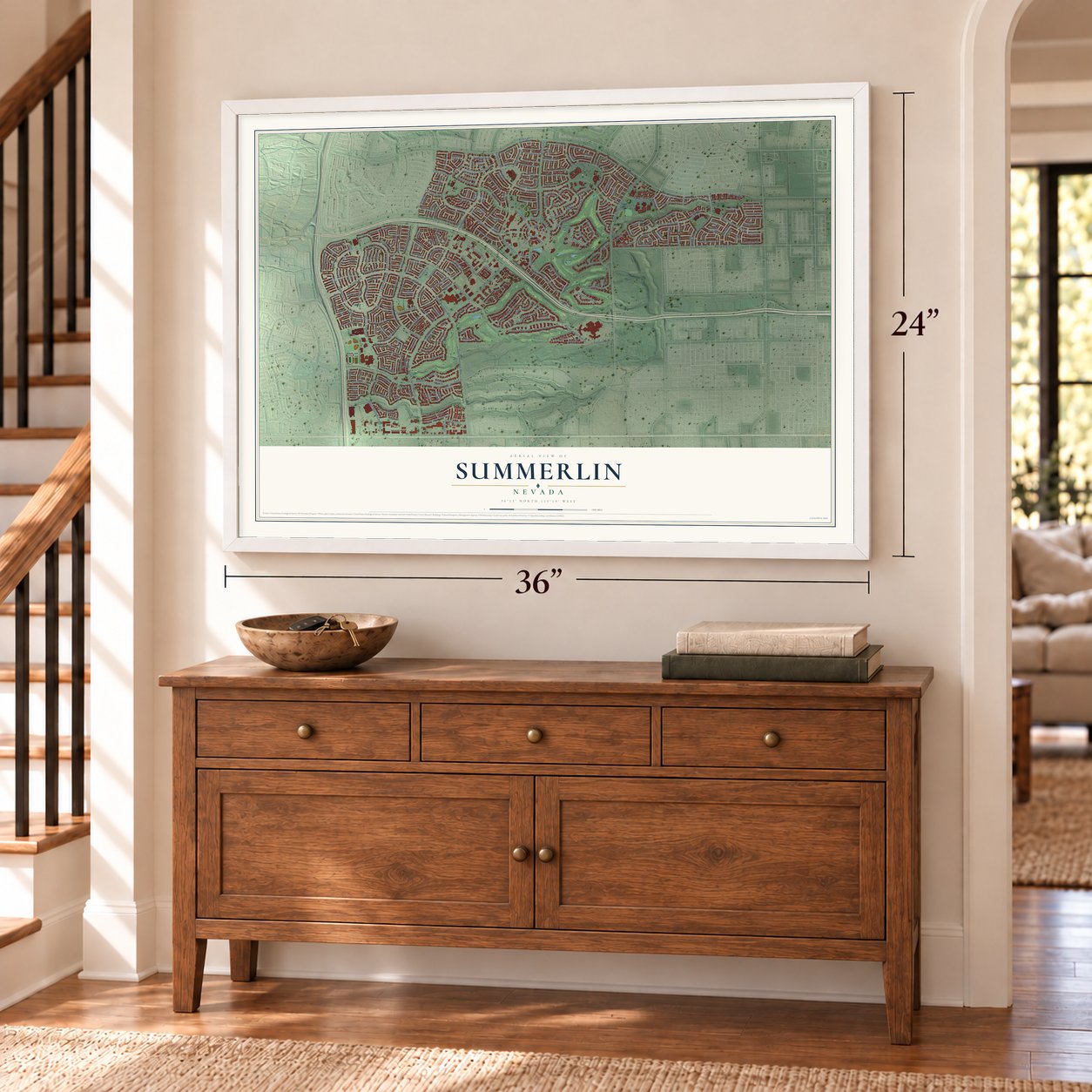
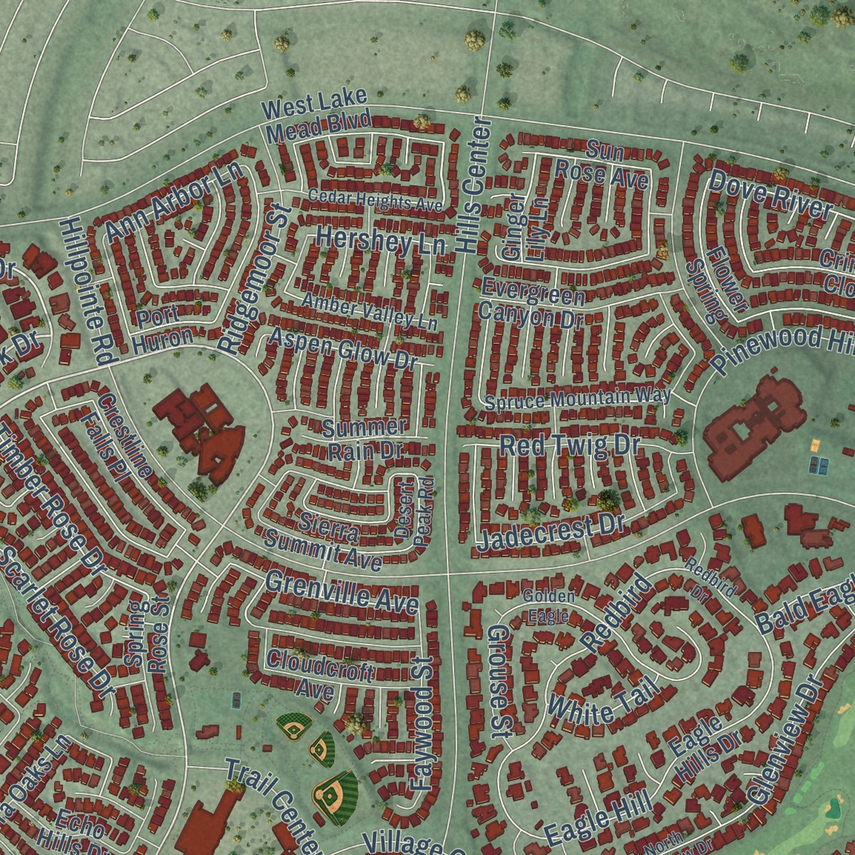
Explore Summerlin, Nevada from a whole new perspective. Created using aerial imagery and detailed geographic data, this map captures Summerlin building by building, with labeled streets, familiar landmarks, and shaded topographical relief that highlights the natural contours of the landscape.
Combining modern data with the timeless character of a vintage atlas, this map is just as interesting up close as it is beautiful on the wall. Whether you grew up in Summerlin, spent memorable years there, or call it home today, this unique map is a great way to celebrate a place that means something to you. Zoom in on the preview to look for your street, and then order a print to put your memories on the wall.
Three ways to hang it
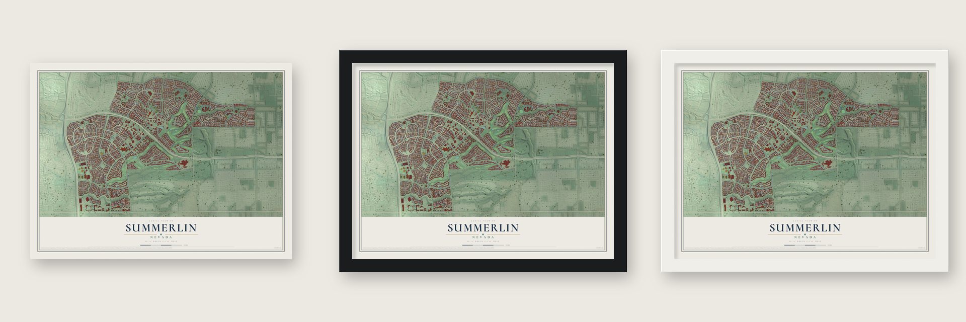
Unframed archival matte, a black wood frame or a white wood frame.
Up close
Geography Worth Displaying
This map was created using accurate cartographic data and authoritative geographic sources, including the U.S. Geological Survey and the Census Bureau. The map brings together terrain, waterways, roads, and building detail. The majority of the streets are labeled, houses are accurately depicted, and the topography is derived from government sources. Combining local data with carefully composed color and shading leads to this beautifully detailed Summerlin artwork for your wall.
Rather than simply showing street outlines, we’ve included as many of the street names as we could reasonably fit on the map while keeping their names legible. Zoom in on the high resolution preview to see exactly what’s on the map. We truly set out to create a statement piece for anyone who loves Summerlin. So whether it’s for you, or a gift for someone you love, we hope this map of Summerlin brings back fond memories.
Read the story behind this map: Detailed Map of Summerlin, Nevada.

About Summerlin, Nevada
In 1952 Howard Hughes bought 30,000 acres on the west side of the Las Vegas Valley for 3 dollars an acre. The land sat mostly empty for decades. After Hughes died in 1976, his heirs formed the Summa Corporation, named for his grandmother Jean Amelia Summerlin. Its first homes, park and school were finished by the end of 1990.
Find your street
Names on the Summerlin map
Every name below is printed on this map. Look for your street, your school, the park where you played, or the pond down the road.
Streets and roads310
- Crestdale Lane
- Trailwood Drive
- Glenrock Drive
- Napa Ridge Drive
- Rockfield Drive
- Silver Grove Street
- Turquoise Valley Drive
- Sedona Sunset Drive
- Esk Drive
- Saint Pierre
- Spring Gate Lane
- West Hillshire Drive
- Jade Cliffs Lane
- Delina
- West Cielo Vista Avenue
- Snow Crest Place
- Desert Fort Street
- North Proud Eagle Lane
- Juniper Creek Lane
- La Posada
- Eagle Ridge Drive
- Aire Drive
- Anasazi Drive
- Canyon Run Drive
- West Canyon Run Drive
- Hillpointe Road
- North Town Center Drive
- Alta Drive
- South Town Center Drive
- Vegas Drive
Show all 310 streets
- South Pavilion Center Drive
- South Hualapai Way
- Sageberry Drive
- North Hualapai Way
- West Vegas Drive
- Village Center Circle
- Banburry Cross Drive
- Covington Cross Drive
- Hills Center
- Park Run Drive
- North Rampart
- North Rampart Boulevard
- Laurelglen Drive
- Far Hills Avenue
- Trophy Hills Drive
- Glenview Drive
- Hillshire Drive
- Pueblo Vista Drive
- Canyon Mesa Drive
- Snow Trail
- Redbird
- Tournament Canyon Drive
- Summit Canyon Drive
- Canyon Greens Drive
- Greensboro Lane
- Eagle Hill
- Corta Bella Drive
- Center Crossing Road
- Scholar Lane
- Pinewood Hill Drive
- Saintsbury Drive
- Sedona Sunrise Drive
- Paseo Vista Drive
- Orkiney Drive
- Birch Bluff Lane
- Double Rock Drive
- Highridge Drive
- Windrose Point Avenue
- Players Club Drive
- Glenside
- Scarlet Rose Drive
- Remembrance Hill Street
- Stonefield Street
- Star Pine Drive
- Amber Ridge Drive
- Ridgemoor Street
- Inner Circle
- Timber Rose Drive
- Red Twig Drive
- Faywood Street
- Dove River
- Bald Eagle
- Summer Mesa Drive
- Jadecrest Drive
- Woodlore Place
- Elk Lake Avenue
- Hillsgate Street
- Center Drive
- Grenville Avenue
- Oxford Cross Drive
- Enclave Court
- Laurel Glen Avenue
- Marino Hills Drive
- Swanbrooke Drive
- Sierra Cima Lane
- Bayonne Drive
- Moon Valley Place
- Beringer Drive
- Iron Springs Drive
- Estrelita Drive
- Royal Plum Lane
- Trail Center
- Red Brook Drive
- Trail Hollow Drive
- Palo Brea Drive
- Amber Pine Street
- Iron Hills Lane
- Tesoras Drive
- Windhook Street
- Trail Vista Drive
- Almeria Avenue
- Ann Arbor Lane
- Bernini Street
- Sondrio Drive
- Grouse Street
- Salford Drive
- Verbania Drive
- Tesoro Drive
- Bauble Avenue
- Longspur Drive
- Hershey Lane
- Red Rio Drive
- Indigo
- Sedro Street
- White Tail
- Cortile
- Fiero
- Anime Drive
- Artola Street
- Bonta
- North Royal Ascot Drive
- West Glenrock Drive
- North Crestdale Lane
- West Sedona Sunset Drive
- Bower Basin Street
- Pottery Creek Drive
- Prairie Corners Drive
- Sedona Paseo Lane
- Pro Players
- West Niagara Falls Lane
- Western Lily Street
- Swale Lane
- Double Arrow Place
- Knox Gold
- Tyne Place
- Cielo Vista Avenue
- West Canyon Mesa Drive
- North Pueblo Vista Drive
- West Lake Mead Boulevard
- Eagle Hills Drive
- Pinnacle Heights
- Canalino Drive
- Domnus Lane
- Stony Ridge Drive
- Sapphire Vista Avenue
- Wincanton Drive
- Royal Canyon Drive
- Eaglewood Drive
- Evergreen Canyon Drive
- Painted Clay Avenue
- Lexington Cross Drive
- Benjamin Nicholas Place
- Joe Willis Street
- Sierra Oaks Lane
- Bianca Bay Street
- Pinnacle View Place
- Aspen Glow Drive
- Whooping Crane Lane
- Fawn Ridge Street
- Pine Leaf Drive
- Mexican Poppy Street
- Falls Church Avenue
- Summer Spruce Place
- Napa Hills Drive
- Crestline Falls Place
- Sierra Summit Avenue
- Cloudcroft Avenue
- Cypresswood
- Ridge Creek Place
- Quartz Peak Street
- Red Canvas Place
- Flower Spring
- Moon Flower Arbor Place
- Mountain Lodge Place
- Canyon Breeze
- Crimson Clover
- Evening Glow
- Beachwalk Place
- Arbor Pine Avenue
- Elm Ridge Avenue
- Huxley Cross Lane
- Hillwood
- Magnolia Ridge
- Queen Victoria Street
- Spanish Peak Avenue
- New Boro Avenue
- Spring Rose Street
- Point Ridge Place
- Snow Mountain Street
- Gaeta Place
- Arabian Sand Court
- Mirada Drive
- Sun Rose Avenue
- Echo Hills Drive
- North Pine Haven Street
- Danza del Sol Drive
- Summer Rain Drive
- Vista Hill Drive
- Allthorn Avenue
- North Buteo Woods Lane
- Sapodilla Lane
- Reisling Court
- Aspen Leaf Street
- April Shower Place
- French Merlot Court
- Pintail Point Street
- Dart Drive
- Ginger Lily Lane
- Crimson View Place
- Rossi Avenue
- Canyon Brook Place
- Piper Glen Place
- Via Paseo Lane
- Alegria Drive
- Winter Wind Street
- Prime View Court
- Siena Hills Lane
- Port Huron
- Cypress Glen
- Edina Court
- Aspen Oak Street
- Tinta Lane
- Little Leaf Drive
- Grove Crst
- Vista Greens Way
- West Las Manaitas Avenue
- Chiquita Drive
- Spruce Mountain Way
- Primrose Arbor Avenue
- Cresent Mesa Lane
- Amber Valley Lane
- Champion Hills Lane
- Honey Tree Drive
- Emerald Vista Way
- Acacia Tree Drive
- Chambolle Court
- Pavilion Center Drive
- Verde Springs Drive
- Drifter Peak Street
- Moonridge Court
- Summer Quail Avenue
- Canyon Classic Drive
- Ventura Hills Street
- Silver Plateau Avenue
- Horseback Ridge Avenue
- Wandering Doe Lane
- Ivy Point
- Tesara Vista Place
- Sand Canyon Drive
- Salem Rose Court
- Banbury
- Pine Island
- McHenry Street
- Pedal Point Place
- Desert Peak Road
- Calder Avenue
- Kenton Place
- Pacific Tide Place
- Club Court
- Pearl Crest Street
- Pacific Sageview Lane
- North Glenview Drive
- Redbird Drive
- Pinnacle Heights Lane
- Golden Eagle
- Peachy Canyon Circle
- Hills Drive
- Cedar Heights Avenue
- Sable Mist Court
- Royal View Avenue
- Chase Tree Street
- Sistine Street
- Dream Bridge Drive
- South Ring Dove Drive
- Magnolia Arbor Street
- Summer Palm Place
- Corporate Crossing Road
- Montagna Drive
- King Henry Avenue
- Dia del Sol Way
- Barchetta
- Woodmore Drive
- Gateview Lane
- Meadow Hill
- Trails Center Drive
- Library Hill
- Golf Center
- Mountain Grove Court
- Cimarron Crest Street
- Calistoga Springs Court
- Enderly Lane
- Forum Hills Place
- Arbor Forest Street
- Grand Augusta Lane
- Via Linda Court
- Crystal Creek Circle
- Oak Moss
- Double Arch Court
- Ruby Cliffs Lane
- Sussex Street
Names are listed as they appear on the printed map. Zoom into the product photos to find them.
The art of mapping a place
How This Map Was Made
Real places. Remarkable detail. Discover the layers that turn geographic data into a map of home.

The view from above
Aerial imagery reveals the character of the land: woodland, open fields, and the patterns of a place.

The shape of the land
Elevation data brings hills, valleys, and subtle changes in the landscape into view.

The details of home
Roads, waterways, and building footprints come together to make the map feel unmistakably local.

Geography becomes art
Considered color, shading, and typography bring the layers together in a map made for your wall.


Process illustrated with Mendon, Massachusetts. Aerial imagery: USDA NAIP. Terrain: USGS 3D Elevation Program. Map details and finished artwork: KNOWOL.
The Details
About This Print
Choose an archival matte print, or a black or white Ayous wood frame. The archival matte print is unframed.
Select your size and finish above to see the matching product image and price.
Materials & Craftsmanship
A contemporary map with the character of a classic atlas, printed on archival matte paper. Optional frames are made from Ayous wood.
Your printed map does not include the watermark shown in the full-map preview.
Shipping & Delivery
Free shipping within the United States. Every print is made to order in the USA.
Buying a gift? Add a note in your cart and we'll include it. We never put prices in the package.
Prints ship within 2 to 3 business days. Allow 7 to 10 days total from ordering for delivery. Timing may vary during holidays or periods of high order volume.
Read our shipping policy.
Returns and damaged prints
Each print is made to order. Change-of-mind refunds are not available after production.
If your print arrives damaged, misprinted or incorrect, contact support@knowol.com within 30 days of receiving it. Include your order number, photos and a description of the issue.
Read our full refund and replacement policy. For questions about your order, email support@knowol.com.
Find your town
Looking for another city?
Find a map of home in our Nevada collection, or any town in the country.
Nearby
Maps of towns near Summerlin
Know someone from one of these towns? Their map makes a great gift.
 The Lakes
, Nevada
From $39.99See the map
 Lone Mountain
, Nevada
From $39.99See the map
 Las Vegas
, Nevada
From $39.99See the map
More maps nearby: Summerlin South, Spring Valley, West Las Vegas, Downtown Las Vegas and Winchester.