
Search for another town





Free U.S. delivery 7 to 10 days after you order
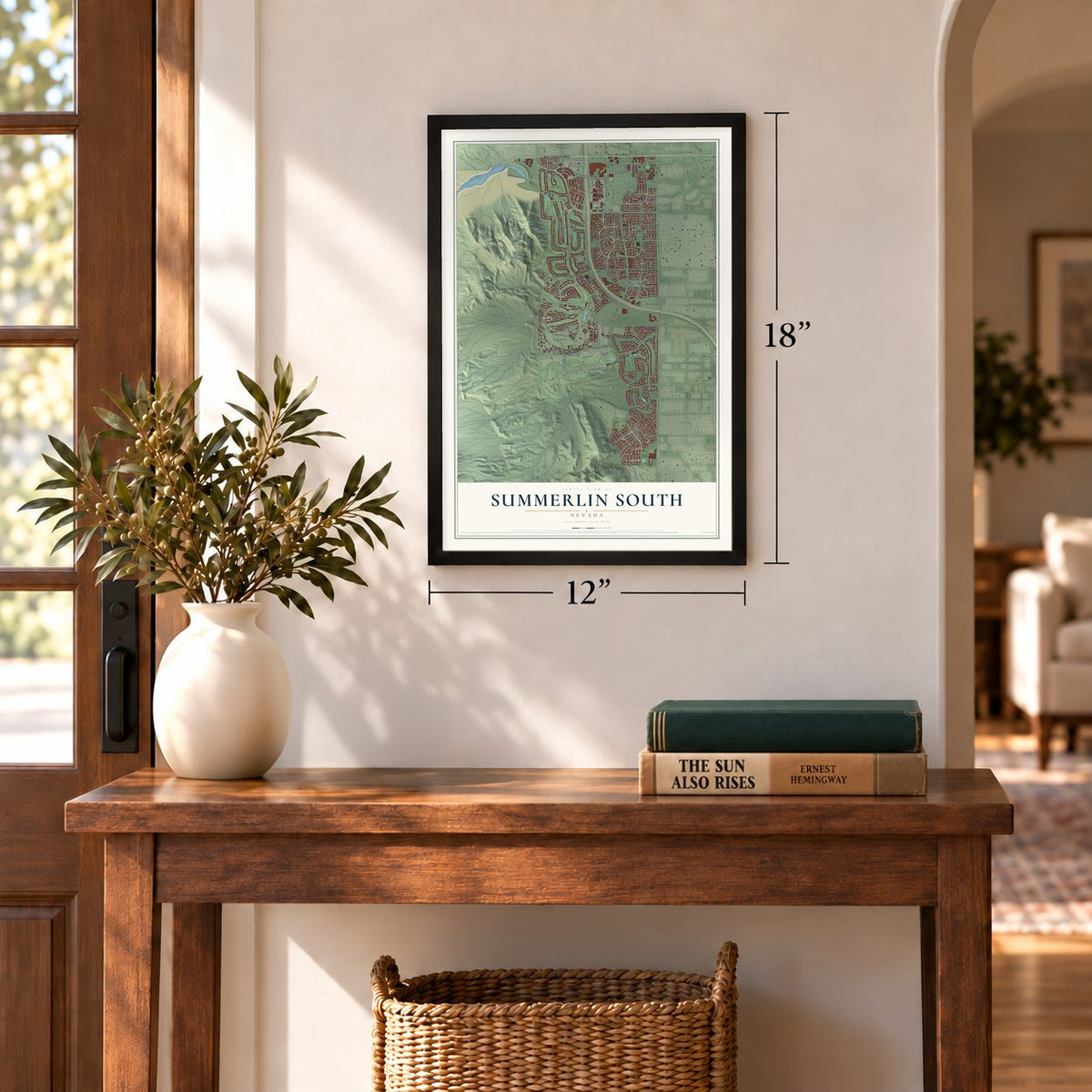
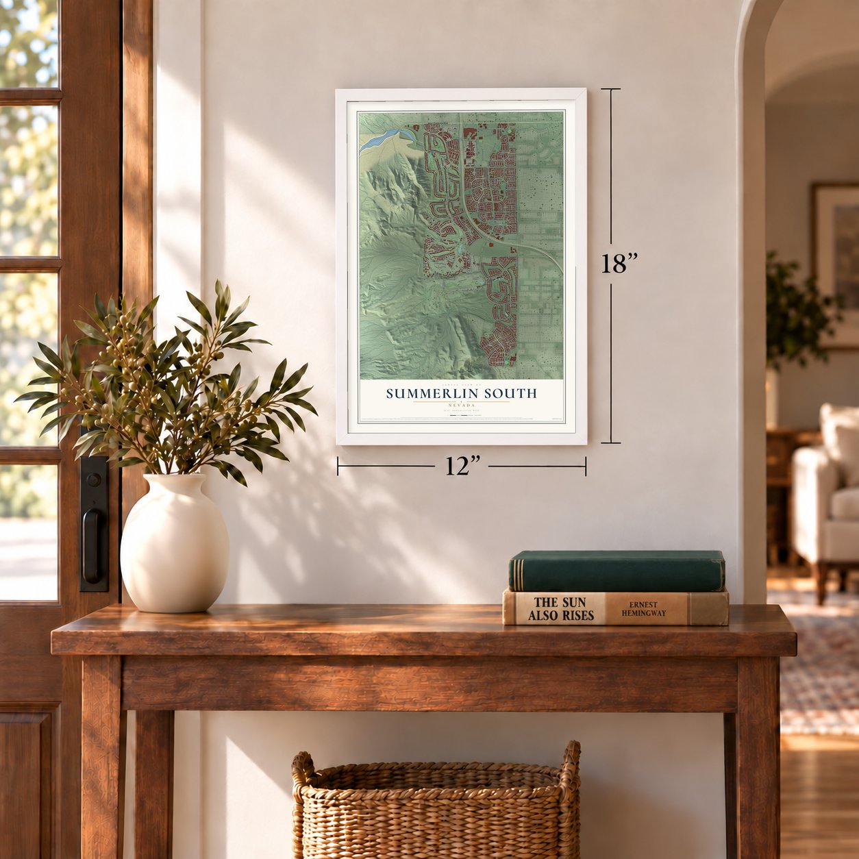
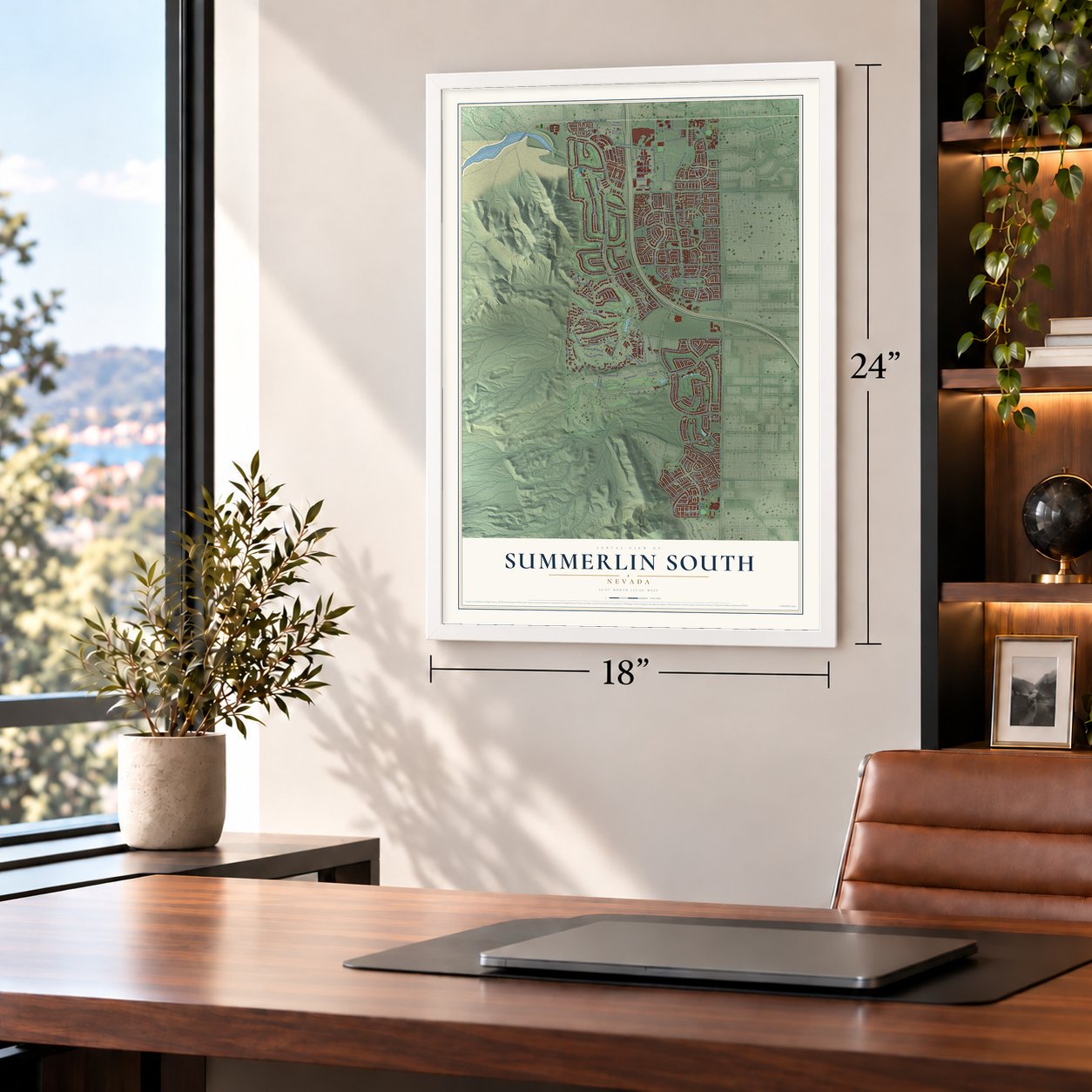
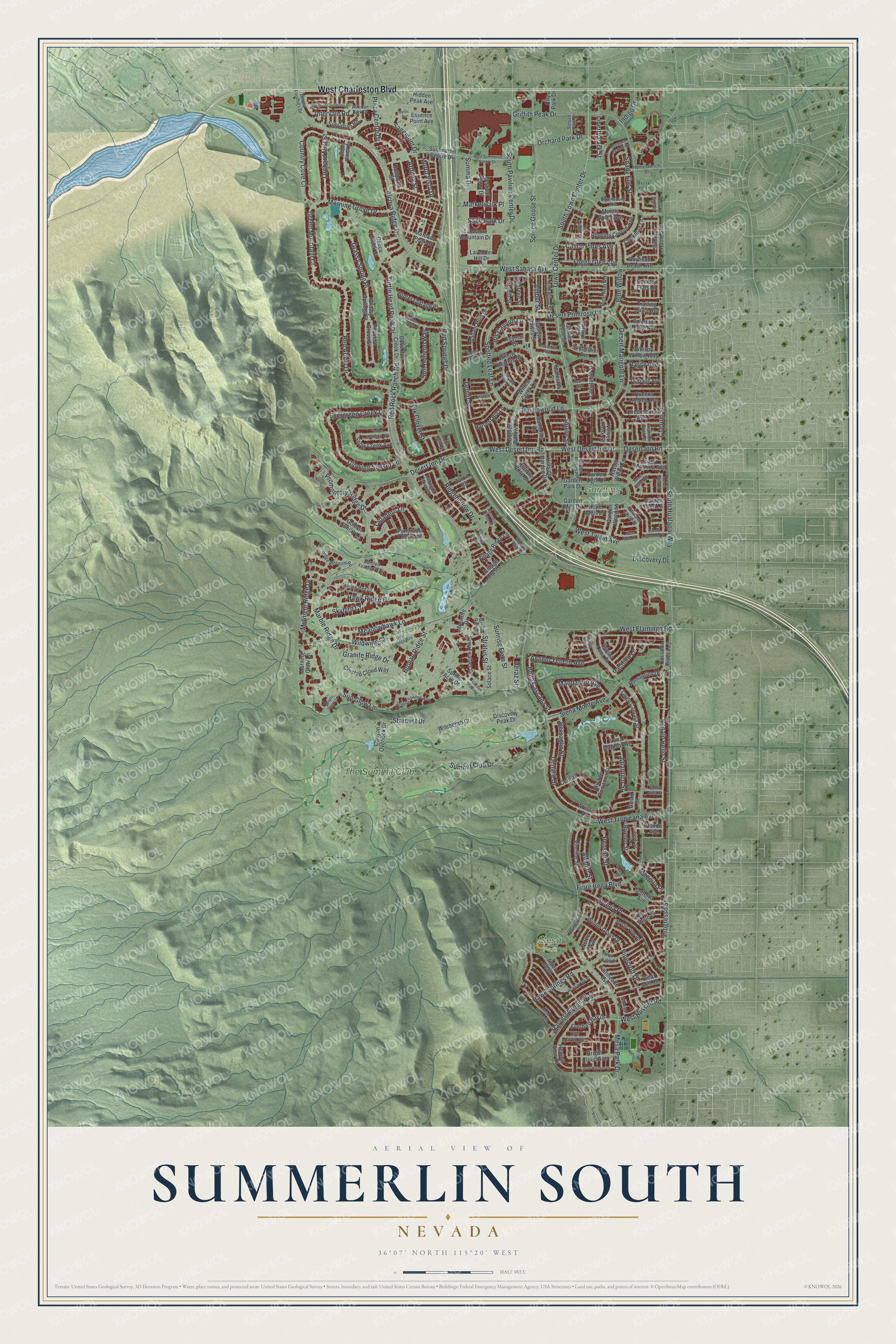
Summerlin South, Nevada Map Art
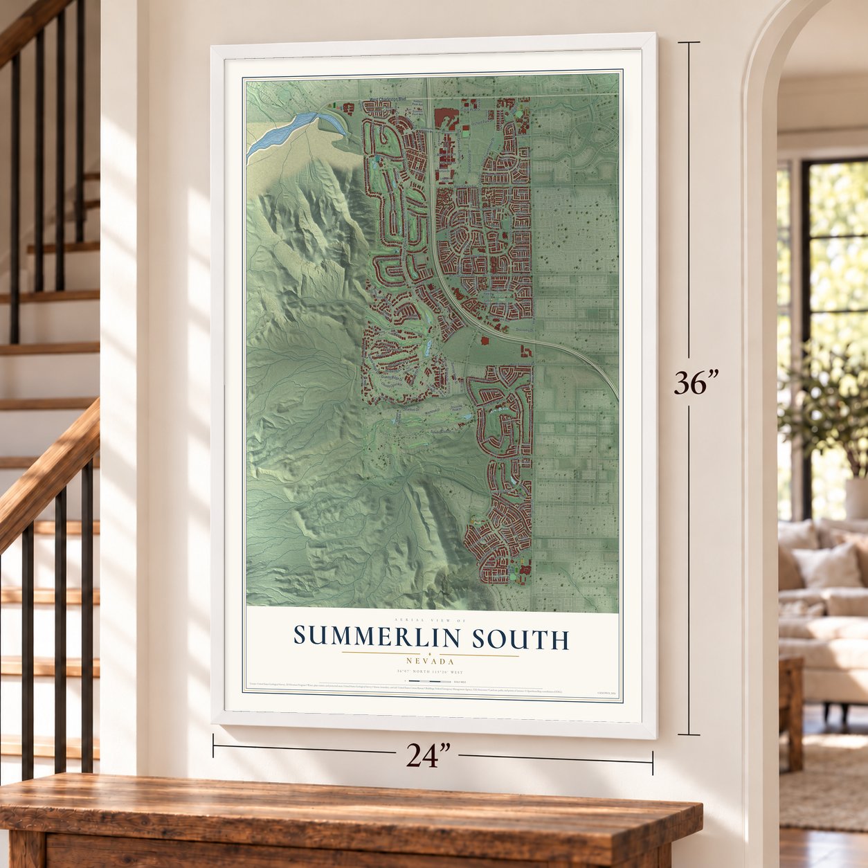
Building by building, with labeled streets and shaded relief.
12" x 18" Archival Matte Print
A Map of Home. A Work of Art.
Explore Summerlin South, Nevada from a whole new perspective. Created using aerial imagery and detailed geographic data, this map captures Summerlin South building by building, with labeled streets, familiar landmarks, and shaded topographical relief that highlights the natural contours of the landscape.
Combining modern data with the timeless character of a vintage atlas, this map is just as interesting up close as it is beautiful on the wall. Whether you grew up in Summerlin South, spent memorable years there, or call it home today, this unique map is a great way to celebrate a place that means something to you. Zoom in on the preview to look for your street, and then order a print to put your memories on the wall.
Three ways to hang it
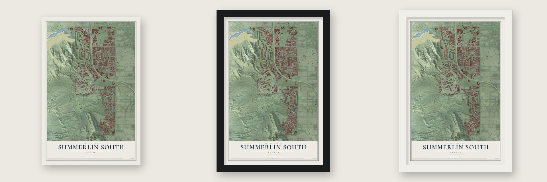
Unframed archival matte, a black wood frame or a white wood frame.
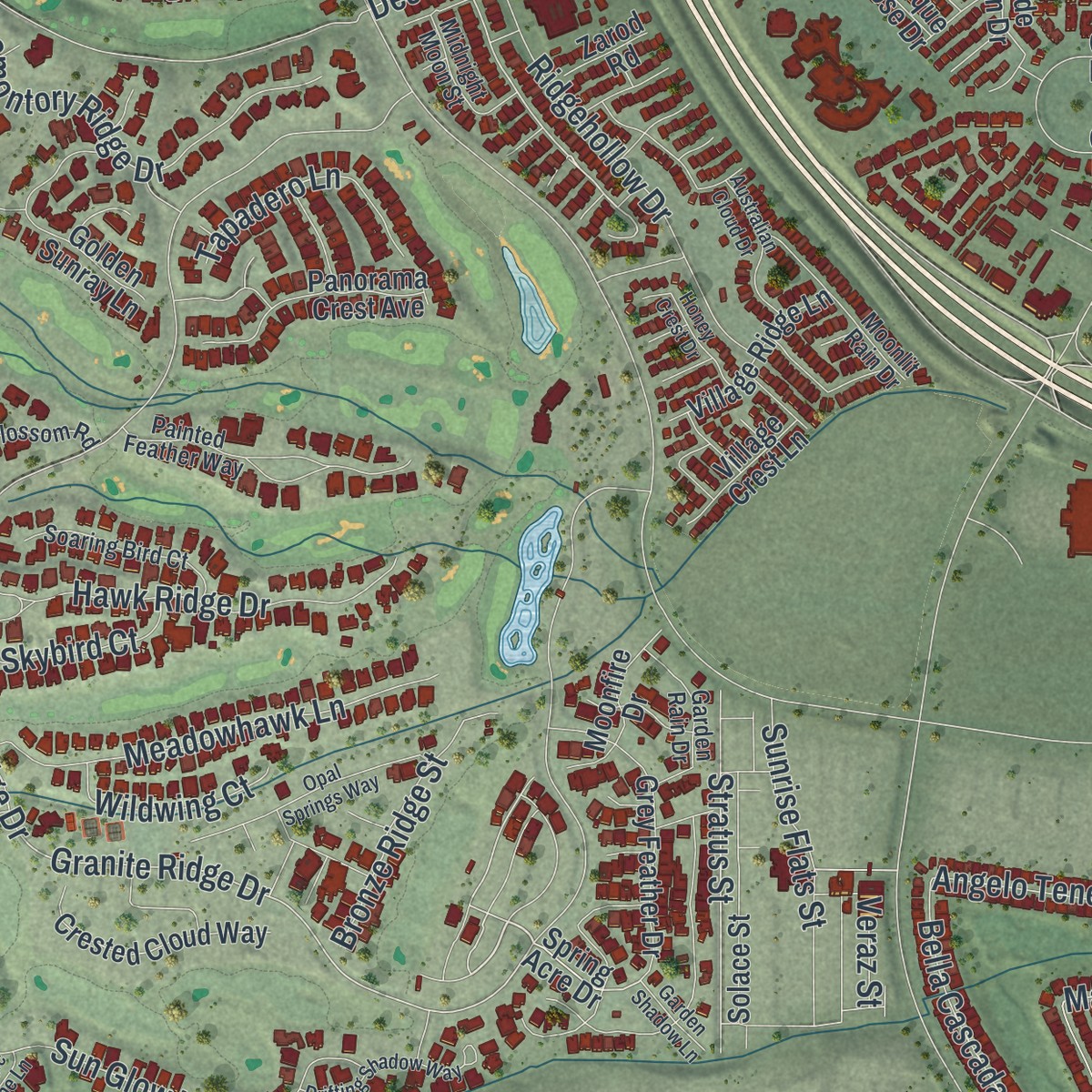
Up close
Geography Worth Displaying
This map was created using accurate cartographic data and authoritative geographic sources, including the U.S. Geological Survey and the Census Bureau. The map brings together terrain, waterways, roads, and building detail. The majority of the streets are labeled, houses are accurately depicted, and the topography is derived from government sources. Combining local data with carefully composed color and shading leads to this beautifully detailed Summerlin South artwork for your wall.
Rather than simply showing street outlines, we’ve included as many of the street names as we could reasonably fit on the map while keeping their names legible. Zoom in on the high resolution preview to see exactly what’s on the map. We truly set out to create a statement piece for anyone who loves Summerlin South. So whether it’s for you, or a gift for someone you love, we hope this map of Summerlin South brings back fond memories.
Read the story behind this map of Summerlin South, Nevada from 2026.
Find your street
Names on the Summerlin South map
Every name below is printed on this map. Look for your street, your school, the park where you played, or the pond down the road.
Places and landmarks3
- Gardens Park
- Mesa Park
- The Summit Club
Streets and roads235
- West Charleston Boulevard
- Granite Ridge Drive
- Spotted Leaf Lane
- Desert Marigold Lane
- Desert Primrose Lane
- Havenwood Lane
- Summit Club Drive
- Hawk Ridge Drive
- Amber Street
- Stratus Street
- South Town Center Drive
- South Hualapai Way
- Town Center Drive
- West Sahara Avenue
- West Flamingo Road
- Fiore Bella Boulevard
- West Desert Inn Drive
- Stardust Drive
- Red Springs Drive
- West Desert Inn Road
- Red Rock Ranch Road
- South Pavilion Center Drive
- Marble Ridge Drive
- Turtle Head Peak Drive
- Desert Inn Drive
- Alcova Ridge Drive
- Red Arrow Drive
- Mesa Park Drive
- Spruce Goose Street
- Regalo Bello Street
Show all 235 streets
- Sun Glow Lane
- West Twain Avenue
- Premia Place
- Discovery Drive
- Glowing Sunset Lane
- Ridgehollow Drive
- Meadowhawk Lane
- Promontory Ridge Drive
- Summa Drive
- Denaro Drive
- Marketwalk Place
- West Tropicana Avenue
- Siena Monte Avenue
- Sagemont Drive
- Grassy Spring Place
- Progresso Street
- Hawk Springs Road
- Morning Grove Drive
- Soft Horizon Way
- Cherum Street
- Orchard Park Drive
- Griffith Peak Drive
- Sunrise Flats Street
- Bersaglio Street
- Angelo Tenero Avenue
- Harvest Green Way
- Orchard Mist Street
- Midnight Ridge Drive
- Country Cove Court
- West Russell Road
- Shady Elm Street
- Blue Willow
- Bronze Ridge Street
- Green Mountain Court
- Evergreen Creek Lane
- Alfingo Street
- Tapadero Lane
- Bella Cascada Street
- Foggy Glen Avenue
- Mandarino Avenue
- Atlantico Street
- Elk Clover Street
- Sage Park Drive
- Desert Inn Road
- Pensier Street
- Plaza Centre Drive
- Calico Pines Avenue
- Morro Vista Drive
- Wildwing Court
- Iris Canyon Lane
- Liberty Park Street
- Skybird Court
- Pinecroft Drive
- Indigo Drive
- Intervale Road
- Lenoir Street
- Pacifico Lane
- Maggira Place
- Ardilea Street
- Rarity Avenue
- Squire Street
- Veraz Street
- Navajo Willow Lane
- Willow Creek Lane
- Golden Willow Lane
- Bayhead Beach Avenue
- Spring Acre Drive
- Mercado Peak Drive
- Dove Run Creek Drive
- La Madre Mountain Drive
- Garden Park Drive
- Summerlin Centre Drive
- Grassy Springs Place
- Garden Mist Drive
- Festival Plaza Drive
- Grey Feather Drive
- Alden Bend
- Riva de Romanza Street
- Canyon Overlook Drive
- Abisso Drive
- Sofferto Avenue
- Vincitor Street
- Crested Cloud Way
- Solace Street
- Largo Cantata Street
- Panorama Crest Avenue
- Howling Coyote Avenue
- Garden Wood Lane
- Cerotto Lane
- Peaceful Grove Street
- Gallant Hills Drive
- Winter Cottage Place
- Rivedro Street
- Village Ridge Lane
- Winter Grass Drive
- Summer Home Street
- Bright Cloud Avenue
- Everhart Bay Drive
- Snow Creek Avenue
- Luna Magico Avenue
- Moonfire Drive
- Morning Glow Lane
- Witchcraft Court
- Agosta Luna Place
- Trailing Dalea Avenue
- Early Morning Avenue
- Willow Heights Drive
- Queens Church Avenue
- Miners Gulch Avenue
- Queensbury Avenue
- Cascada Piazza Lane
- Romantico Drive
- Harvest Hill Lane
- Splendor Ridge Avenue
- Hidden Peak Avenue
- Constable Street
- Suburban Road
- Rio de Thule Lane
- Heaven View Drive
- Santolina Drive
- Cookman Lane
- Dupage Avenue
- Golden Sunray Lane
- Garden Light Drive
- Village Crest Lane
- Hillside Garden Drive
- Pine Run Road
- Belgreen Street
- Ivoryhill Street
- Barrow Downs Street
- Keymar Drive
- Sunblower Avenue
- Whispy Willow Way
- Lavender Hill Drive
- Fairmeade Avenue
- Antique Rose Drive
- Garden Glen Lane
- Calico Creek Court
- Discovery Peak Drive
- Cidar Mill Road
- Hollywell Street
- Kedleston Street
- Jamie Rose Street
- City Park Drive
- Glen Port Street
- Essence Point Avenue
- Hope Mills Drive
- Velvet Rose Street
- Country Flats Lane
- Donde Avenue
- Zarod Road
- Nettle Way
- Gusto Street
- Painted Feather Way
- Cherry Creek Circle
- Soaring Bird Court
- Ridge Blossom Road
- Moonlit Rain Drive
- Cottonwillow Street
- Desert Foothills Drive
- Auckland Castle Street
- Homestretch Drive
- Mystic Pine Road
- Burensburg Avenue
- Garden Rain Drive
- Momenti Street
- Estasi Street
- Allerton Park Drive
- Bryn Haven Avenue
- Midnight Moon Street
- Garden Flower Place
- Hobbiton Avenue
- Spruce Park Drive
- Garriga Drive
- Phantom Rock Street
- Santo Nina Court
- Onslow Court
- West Summerlin Centre Drive
- Opal Springs Way
- Drifting Shadow Way
- Mesa Mountain
- Golden Chestnut Place
- Bradford Commons Drive
- Acacia Park Place
- Boundary Peak Way
- Cloud Whisper Drive
- Australian Cloud Drive
- Candlespice Way
- Traverse Creek Lane
- Timber Mountain Avenue
- Sweet Fennel Drive
- Realm Way
- Matina Bella Street
- Red Sable Drive
- Idyllic Drive
- Honey Crest Drive
- Ness Wood Lane
- Sunset Gardens Drive
- Garden Shadow Lane
- French Daisy Street
- Colony Creek Lane
- Cast Pebble Drive
- Magic Stone Lane
- Towering Pines Street
- Saddle Soap Court
Names are listed as they appear on the printed map. Zoom into the product photos to find them.
About Summerlin South, Nevada
Summerlin South is a community of 30,744 people in Clark County, at the west side of the Las Vegas Valley. It carries the name of Summerlin, the master-planned community it extends to the south, and its western side borders the Red Rock Canyon National Conservation Area. A single homeowners association, the Summerlin South Community Association, manages the whole community.
- Howard Hughes's 30,000 acresThe land under Summerlin goes back to Howard Hughes, who purchased 30,000 acres in the 1950s because he planned to bring some of his businesses to Las Vegas.
- Named for a grandmother in 1988In 1988 the Summa Corporation unveiled its plans for Summerlin. It named the community after Jean Amelia Summerlin, the grandmother of Howard Hughes.
- A boundary for Red Rock CanyonIn the same year that it announced Summerlin, Summa swapped land with the Bureau of Land Management. The exchange fixed a permanent boundary for Red Rock Canyon, the protected desert that now lies along the western side of Summerlin South.
- The RidgesThe Ridges, a guard-gated neighborhood in the southwest part of Summerlin, is made up of custom and semi-custom homes. Its average home price is more than $2,000,000.
Keep exploring Nevada
Summerlin South is one of 152 Nevada towns we've mapped. Every dot on the map is a print of its own.
The search covers every state, Nevada first.
Near Summerlin South
Order 2 or more town maps and save 10%. Shown in the size and finish you picked above, so they hang as a set.
- The Lakes 12" x 18" / Archival Matte Print $39.99
- Spring Valley 12" x 18" / Archival Matte Print $39.99
- Summerlin 12" x 18" / Archival Matte Print $39.99
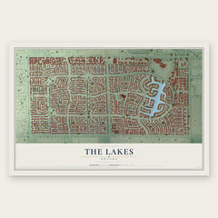
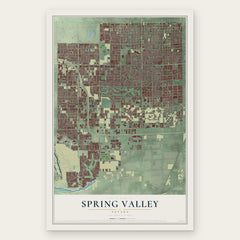

More maps nearby: Blue Diamond, Lone Mountain, Las Vegas, Enterprise and West Las Vegas.
The art of mapping a place
How This Map Was Made
Real places. Remarkable detail. Discover the layers that turn geographic data into a map of home.

The view from above
Aerial imagery reveals the character of the land: woodland, open fields, and the patterns of a place.

The shape of the land
Elevation data brings hills, valleys, and subtle changes in the landscape into view.

The details of home
Roads, waterways, and building footprints come together to make the map feel unmistakably local.

Geography becomes art
Considered color, shading, and typography bring the layers together in a map made for your wall.


Process illustrated with Mendon, Massachusetts. Aerial imagery: USDA NAIP. Terrain: USGS 3D Elevation Program. Map details and finished artwork: KNOWOL.
The Details
About This Print
Choose an archival matte print, or a black or white Ayous wood frame. The archival matte print is unframed.
Select your size and finish above to see the matching product image and price.
Materials & Craftsmanship
A contemporary map with the character of a classic atlas, printed on archival matte paper. Optional frames are made from Ayous wood.
Your printed map does not include the watermark shown in the full-map preview.
Shipping & Delivery
Free shipping within the United States. Every print is made to order in the USA.
Buying a gift? Add a note in your cart and we'll include it. We never put prices in the package.
Prints ship within 2 to 3 business days. Allow 7 to 10 days total from ordering for delivery. Timing may vary during holidays or periods of high order volume.
Read our shipping policy.
Returns and damaged prints
Each print is made to order. Change-of-mind refunds are not available after production.
If your print arrives damaged, misprinted or incorrect, contact support@knowol.com within 30 days of receiving it. Include your order number, photos and a description of the issue.
Read our full refund and replacement policy. For questions about your order, email support@knowol.com.