
Search for another town




Free U.S. delivery 7 to 10 days after you order
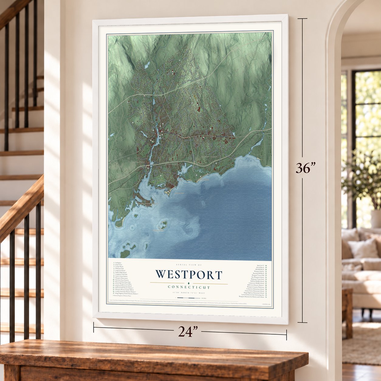
Westport, Connecticut Map Art
Building by building, with labeled streets and shaded relief.
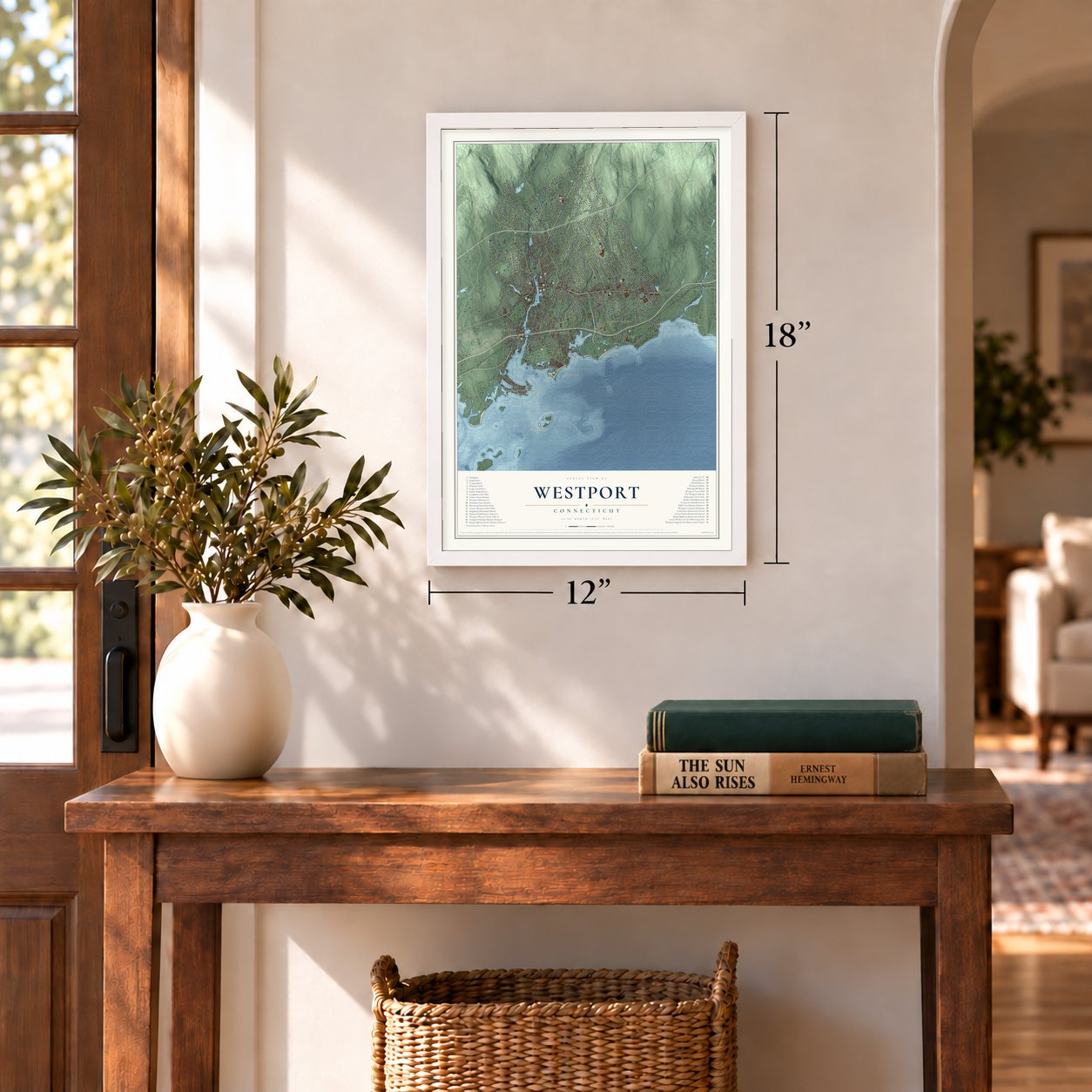
12" x 18" Archival Matte Print
A Map of Home. A Work of Art.
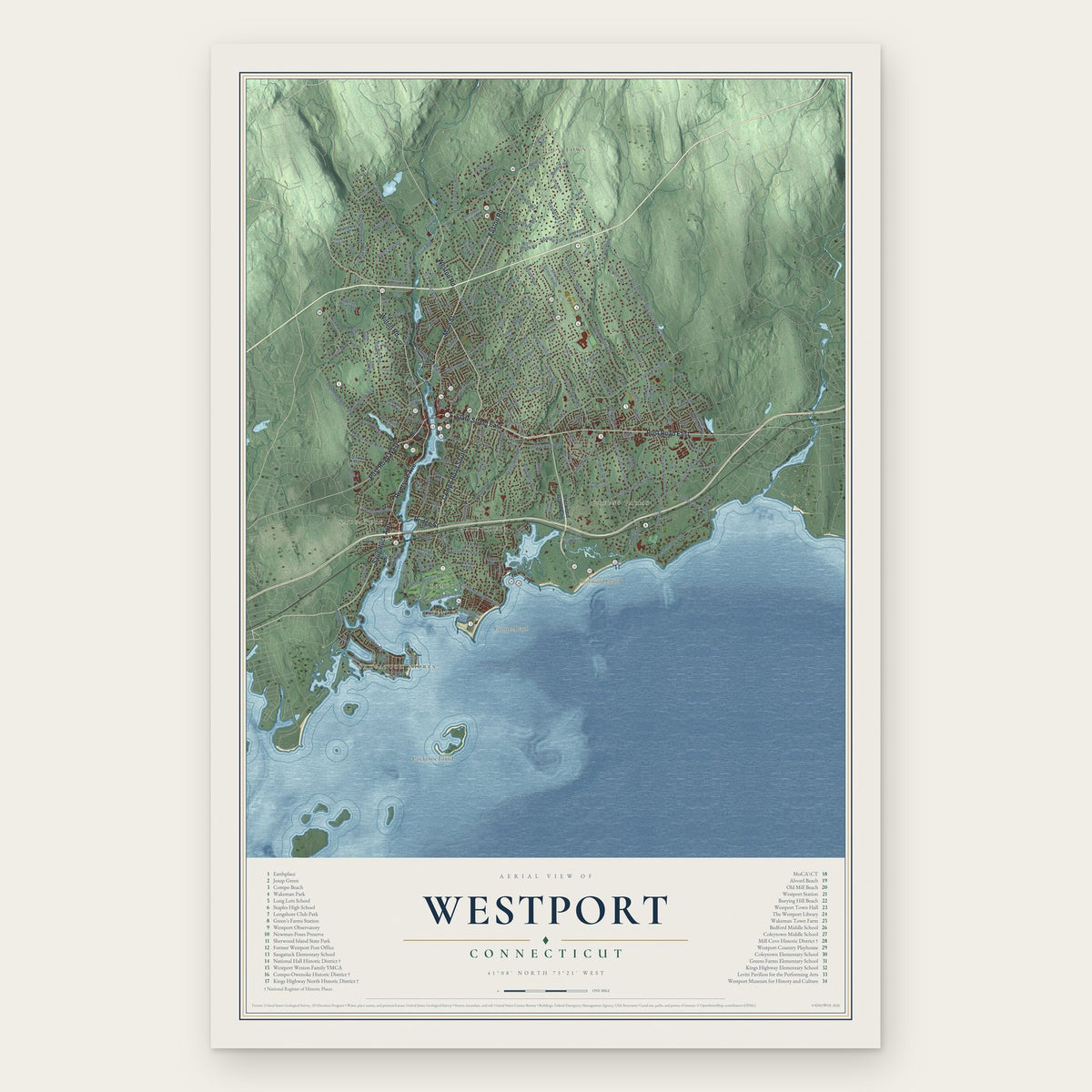
Explore Westport, Connecticut from a whole new perspective. Created using aerial imagery and detailed geographic data, this map captures Westport building by building, with labeled streets, familiar landmarks, and shaded topographical relief that highlights the natural contours of the landscape.
Combining modern data with the timeless character of a vintage atlas, this map is just as interesting up close as it is beautiful on the wall. Whether you grew up in Westport, spent memorable years there, or call it home today, this unique map is a great way to celebrate a place that means something to you. Zoom in on the preview to look for your street, and then order a print to put your memories on the wall.

Three ways to hang it
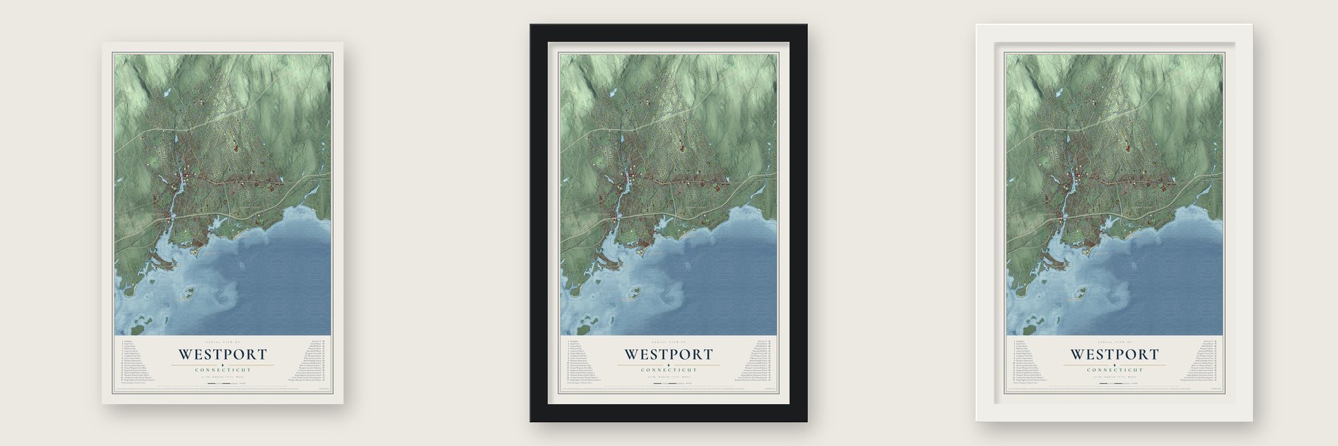
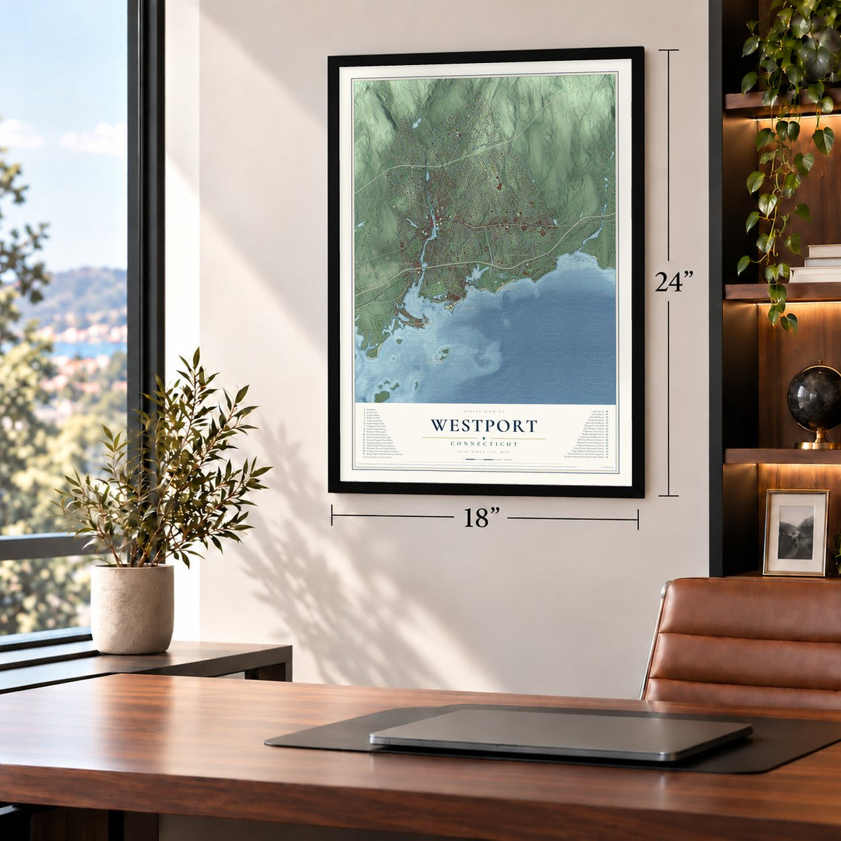
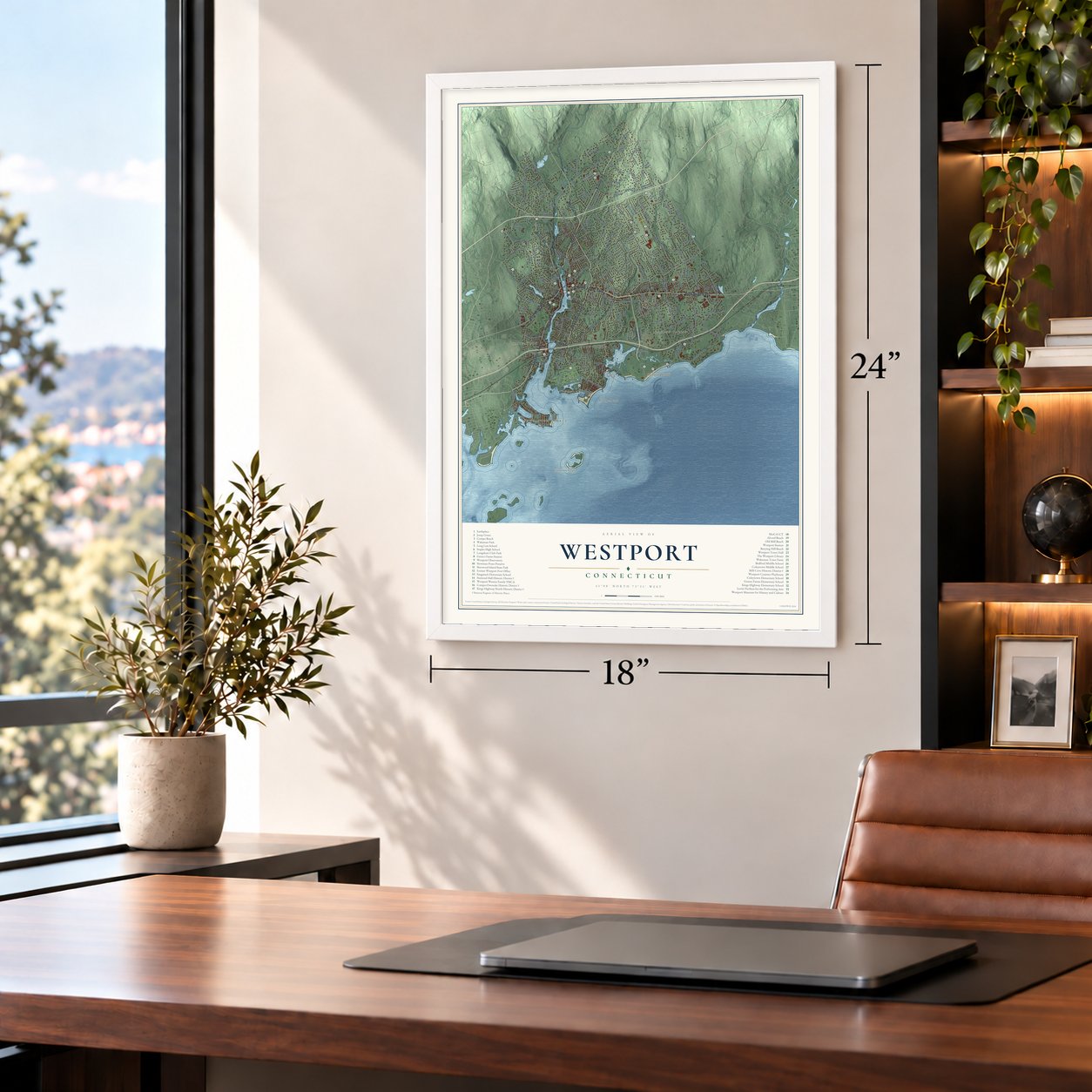
Unframed archival matte, a black wood frame or a white wood frame.
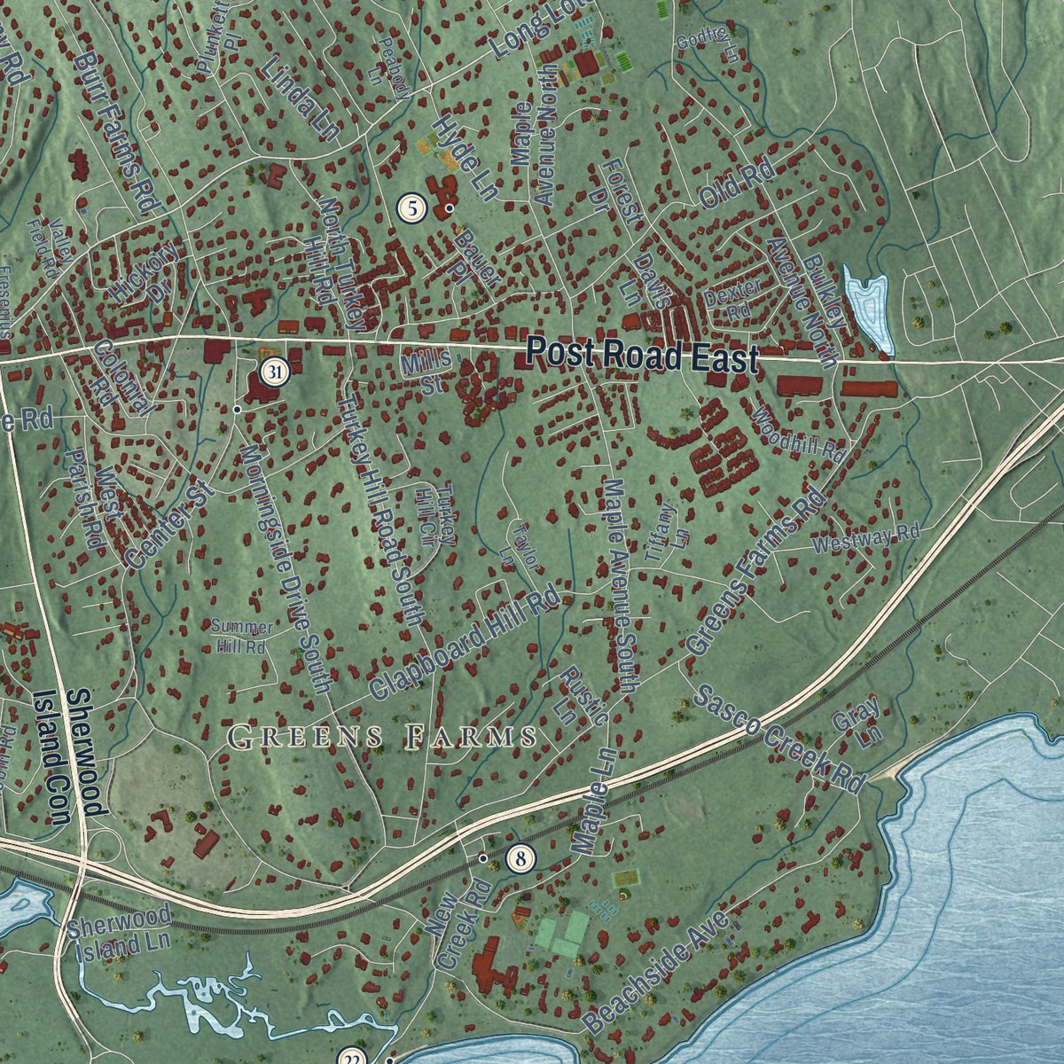
Up close
Geography Worth Displaying
This map was created using accurate cartographic data and authoritative geographic sources, including the U.S. Geological Survey (USGS) and FEMA. The map brings together terrain, waterways, roads, and building detail. The majority of the streets are labeled, houses are accurately depicted, and the topography is derived from government sources. Combining local data with carefully composed color and shading leads to this beautifully detailed Westport artwork for your wall.
Rather than simply showing street outlines, we’ve included as many of the street names as we could reasonably fit on the map while keeping their names legible. Zoom in on the high resolution preview to see exactly what’s on the map. We truly set out to create a statement piece for anyone who loves Westport. So whether it’s for you, or a gift for someone you love, we hope this map of Westport brings back fond memories.
Explore the full map of Westport, Connecticut and read about the local places it shows.
Find your street
Names on the Westport map
Every name below is printed on this map. Look for your street, your school, the park where you played, or the pond down the road.
Places and landmarks10
- Coley Town
- Saugatuck
- Greens Farms
- Cockenoe Island
- Sherwood Island
- Compo
- Saugatuck Shores
- Compo Beach
- Hale Court
- Owenoke
Streets and roads214
- Post Road East
- Easton Road
- State Street East
- Saugatuck Avenue
- Compo Road South
- Riverside Avenue
- Main Street
- Bridge Street
- Post Road West
- Wilton Road
- Weston Road
- Hillspoint Road
- Long Lots Road
- Sturges Highway
- Treadwell Avenue
- Clinton Avenue
- Stonybrook Road
- Greens Farms Road
- Bayberry Lane
- North Avenue
- Cross Highway
- Newtown Turnpike
- Roseville Road
- Beachside Avenue
- Imperial Avenue
- Old Hill Road
- Clapboard Hill Road
- Hillandale Road
- Partrick Road
- Cavalry Road
Show all 214 streets
- Old Road
- Red Coat Road
- Coleytown Road
- Harbor Road
- Valley Road
- High Point Road
- Center Street
- Colony Road
- Manitou Road
- Lyons Plains Road
- Charcoal Hill Road
- Maple Lane
- Julian Brodie Road
- Whitney Street
- Hermit Lane
- Cranbury Road
- Warnock Drive
- Burr Farms Road
- Punch Bowl Drive
- Prospect Road
- Woody Lane
- Cob Drive
- Ford Road
- Park Lane
- Sasco Creek Road
- Evergreen Avenue
- Rayfield Road
- Sturges Street
- River Lane
- Crescent Road
- Greenbrier Road
- Rices Lane
- Gorham Avenue
- Apache Trail
- Hyde Lane
- Daniel Court
- Oak Street
- Pin Oak Court
- Eno Lane
- Fraser Road
- Linda Lane
- Hills Lane
- Hale Street
- Sherwood Island Con
- Post Road
- Sylvan Road North
- Duck Pond Road
- Morningside Drive South
- Turkey Hill Road South
- Bulkley Avenue North
- Herbert Baldwin Road
- Bonnie Brook Road
- Sturges Cmn
- Maple Avenue South
- Maple Avenue North
- Marion Road
- Pequot Trail
- Woodside Avenue
- Pumpkin Hill Road
- Jennie Lane
- Silent Grove North
- Gault Park Drive
- Dogwood Lane
- Highland Road
- West Parish Road
- Crawford Road
- Meeker Road
- Mayflower Parkway
- Old Hill Farms Road
- North Turkey Hill Road
- Joann Circle
- Vineyard Lane
- Little Fox Lane
- Ellery Lane
- Sherwood Island Lane
- Ferry Lane East
- Spicer Road
- Compo Parkway
- Meadow View Drive
- Salem Road
- Tupelo Road
- Jennings Court
- New Creek Road
- Rockyfield Road
- Stoney Point Road
- Grassy Plains Road
- Timber Lane
- Catamount Road
- Woods Grove Road
- Surf Road
- Webb Road
- Country Road
- North Ridge Road
- Side Hill Road
- Gault Avenue
- Broad Street
- Bobwhite Drive
- Mills Street
- Lowlyn Road
- Quarter Mile Road
- Wright Street
- Colonial Road
- Clover Lane
- Hickory Drive
- Janson Drive
- Forest Drive
- Rustic Lane
- Gray Lane
- Bauer Place
- Vani Court
- Edge Hill Lane
- Davis Lane
- Pine Street
- Elm Street
- Compo Beach Road
- Otter Trail
- Turkey Hill Circle
- Burnham Hill
- Fillow Street
- Westway Road
- Waterside Terrace
- Pond Road
- Abbotts Lane
- Sue Terrace
- Wake Robin Road
- Wedgewood Road
- Plunkett Place
- Woodhill Road
- Thomas Road
- Pine Tree Drive
- Cardinal Lane
- River Knoll
- Reimer Road
- Brookside Drive
- Cockenoe Drive
- Keyser Road
- Baker Avenue
- Salem Lane
- Bayberry Ridge Road
- Dexter Road
- Wendy Lane
- Tiffany Lane
- Buck Hill Road
- Leslie Lane
- Pony Lane
- Elliot Lane
- Darbrook Road
- Bermuda Road
- Grove Point Road
- Broadview Road
- Hales Court
- Narrow Rocks Road
- Reichert Circle
- Glendinning Place
- Sunnyside Lane
- Sniffen Road
- Riverfield Drive
- Highwood Lane
- Canal Road
- Dawn Drive
- Partrick Lane
- Hiawatha Lane
- Summer Hill Road
- Poplar Plains Road
- Taylor Lane
- Possum Run
- Terhune Drive
- Twin Falls Lane
- Covelee Drive
- Cuttings Lane
- Godfrey Lane
- Fresenius Road
- Sherwood Drive
- Plumtree Lane
- Belaire Drive
- Bluff Point
- Peabody Lane
- Tower Ridge
- Valley Field Road
- Larch Tree Lane
- Clifford Lane
- Sunny Lane
- Guard Hill Road
- Barry Lane
Names are listed as they appear on the printed map. Zoom into the product photos to find them.
About Westport, Connecticut
Westport grew from coastal communities including Green's Farm and Saugatuck. Land from Fairfield, Weston and Norwalk was joined into the new town in 1835.
- Incorporated in 1835Westport was formed on May 28 from portions of three neighboring towns.
- The Minute ManA 1910 statue marks the area of fighting that followed the British landing at Compo Beach in 1777.
- First state parkConnecticut began buying Sherwood Island land in 1914, giving the 238-acre park its first-in-the-state distinction.
- Country PlayhouseProducer Lawrence Langner converted an 1835 tannery, and the theater opened on June 29, 1931.
- National HallThe three-story Italianate landmark was built beside the Saugatuck River in 1873.
Keep exploring Connecticut
Westport is one of 382 Connecticut towns we've mapped. Every dot on the map is a print of its own.
The search covers every state, Connecticut first.
Near Westport
Order 2 or more town maps and save 10%. Shown in the size and finish you picked above, so they hang as a set.
- Compo 12" x 18" / Archival Matte Print $39.99
- Greens Farms 12" x 18" / Archival Matte Print $39.99
- Saugatuck 12" x 18" / Archival Matte Print $39.99


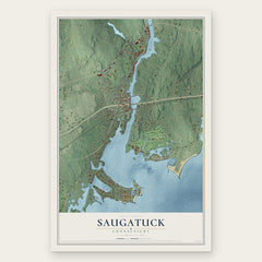
More maps nearby: Westport Village, Staples, Old Hill, Southport and Poplar Plains.
The art of mapping a place
How This Map Was Made
Real places. Remarkable detail. Discover the layers that turn geographic data into a map of home.

The view from above
Aerial imagery reveals the character of the land: woodland, open fields, and the patterns of a place.

The shape of the land
Elevation data brings hills, valleys, and subtle changes in the landscape into view.

The details of home
Roads, waterways, and building footprints come together to make the map feel unmistakably local.

Geography becomes art
Considered color, shading, and typography bring the layers together in a map made for your wall.


Process illustrated with Mendon, Massachusetts. Aerial imagery: USDA NAIP. Terrain: USGS 3D Elevation Program. Map details and finished artwork: KNOWOL.
The Details
About This Print
Choose an archival matte print, or a black or white Ayous wood frame. The archival matte print is unframed.
Select your size and finish above to see the matching product image and price.
Materials & Craftsmanship
A contemporary map with the character of a classic atlas, printed on archival matte paper. Optional frames are made from Ayous wood.
Your printed map does not include the watermark shown in the full-map preview.
Shipping & Delivery
Free shipping within the United States. Every print is made to order in the USA.
Buying a gift? Add a note in your cart and we'll include it. We never put prices in the package.
Prints ship within 2 to 3 business days. Allow 7 to 10 days total from ordering for delivery. Timing may vary during holidays or periods of high order volume.
Read our shipping policy.
Returns and damaged prints
Each print is made to order. Change-of-mind refunds are not available after production.
If your print arrives damaged, misprinted or incorrect, contact support@knowol.com within 30 days of receiving it. Include your order number, photos and a description of the issue.
Read our full refund and replacement policy. For questions about your order, email support@knowol.com.