


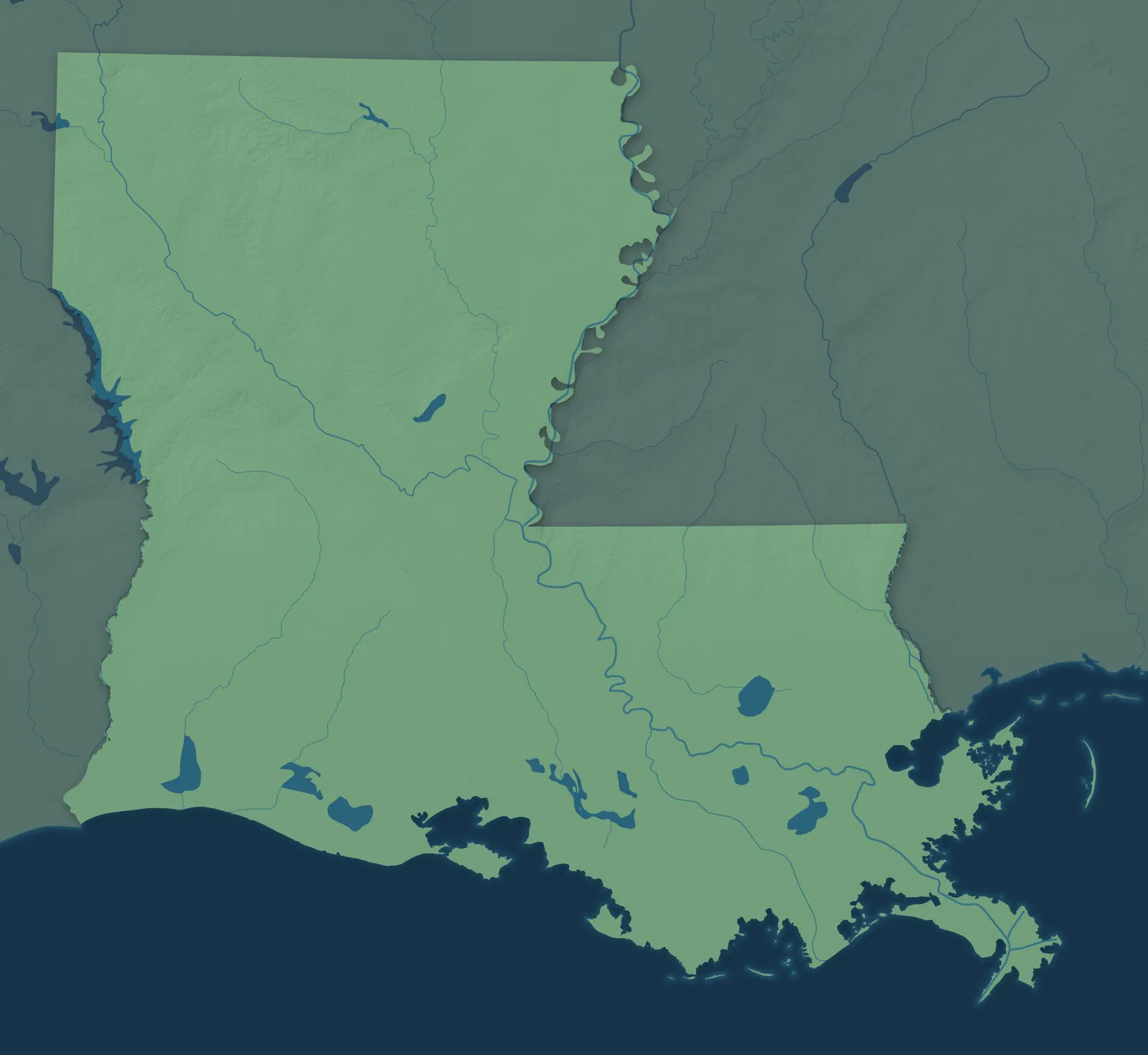
Louisiana Town Maps A to Z
All 594 town maps. Each one opens its own page with the whole map.
Find your town
We make detailed maps of towns across the country, the way they look today. Type your town or city to see its map.
Browse by State
- Alabama
- Alaska
- American Samoa
- Arizona
- Arkansas
- California
- Colorado
- Connecticut
- Delaware
- Florida
- Georgia
- Guam
- Hawaii
- Idaho
- Illinois
- Indiana
- Iowa
- Kansas
- Kentucky
- Maine
- Maryland
- Massachusetts
- Michigan
- Minnesota
- Mississippi
- Missouri
- Montana
- Nebraska
- Nevada
- New Hampshire
- New Jersey
- New Mexico
- New York
- North Carolina
- North Dakota
- Northern Mariana Islands
- Ohio
- Oklahoma
- Oregon
- Pennsylvania
- Puerto Rico
- Rhode Island
- South Carolina
- South Dakota
- Tennessee
- Texas
- U.S. Virgin Islands
- Utah
- Vermont
- Virginia
- Washington
- Washington, D.C.
- West Virginia
- Wisconsin
- Wyoming
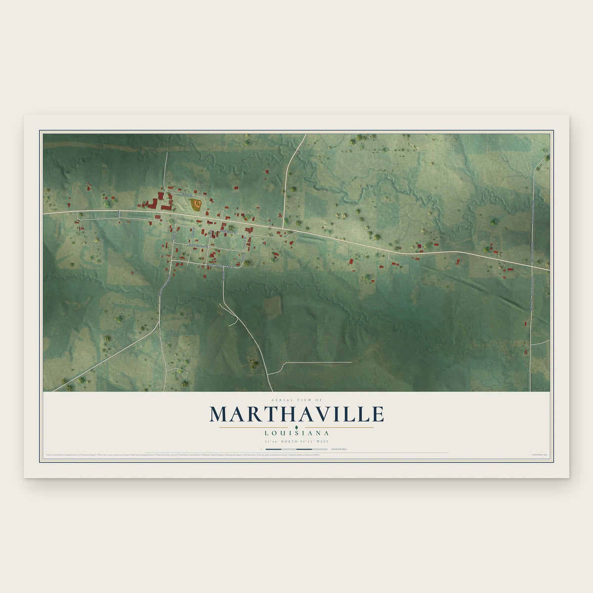
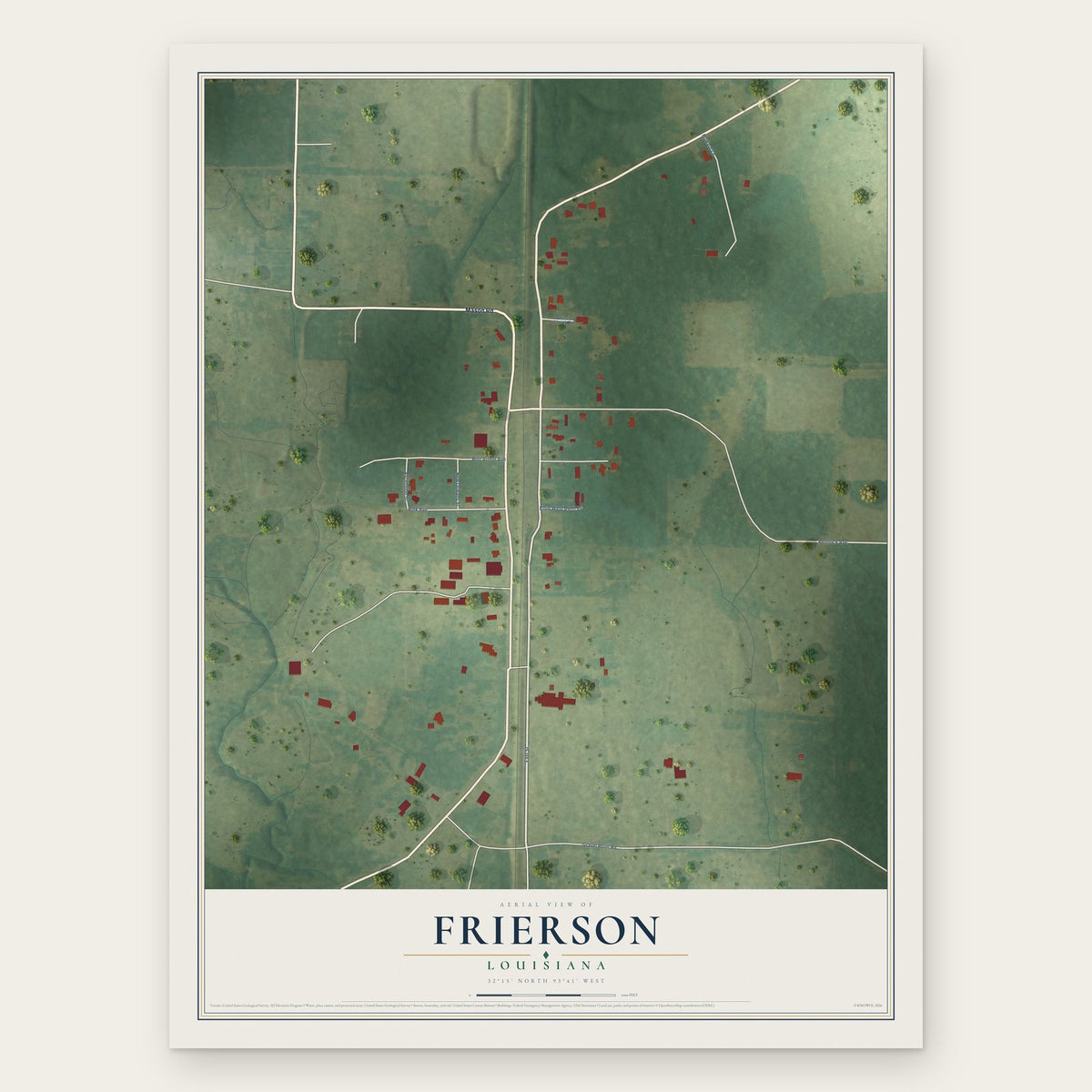
Marthaville, Louisiana Map Art
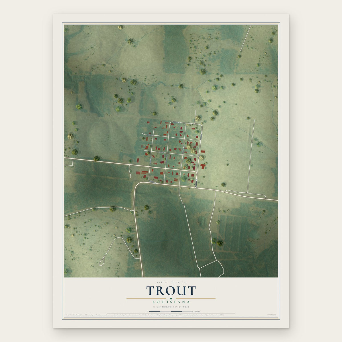



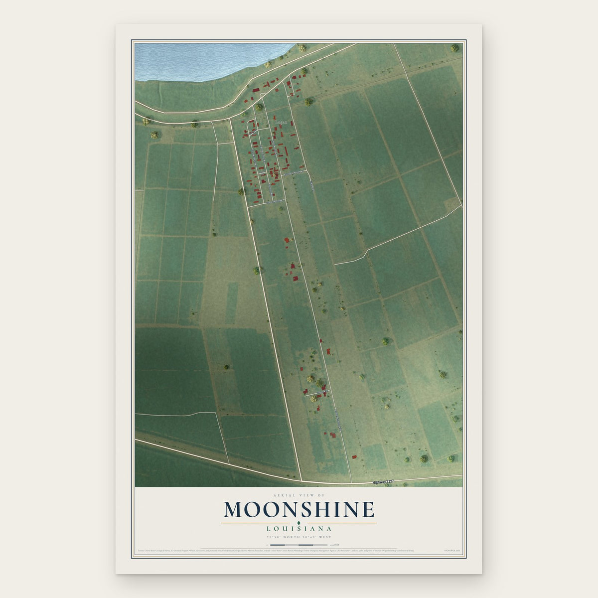
Dorseyville, Louisiana Map Art

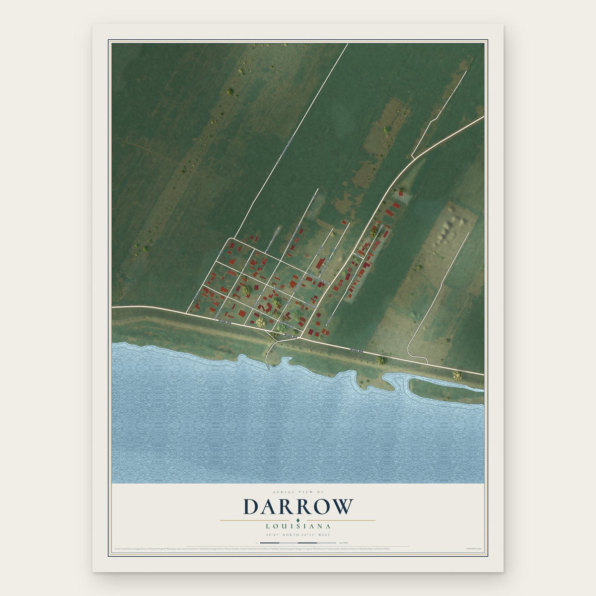


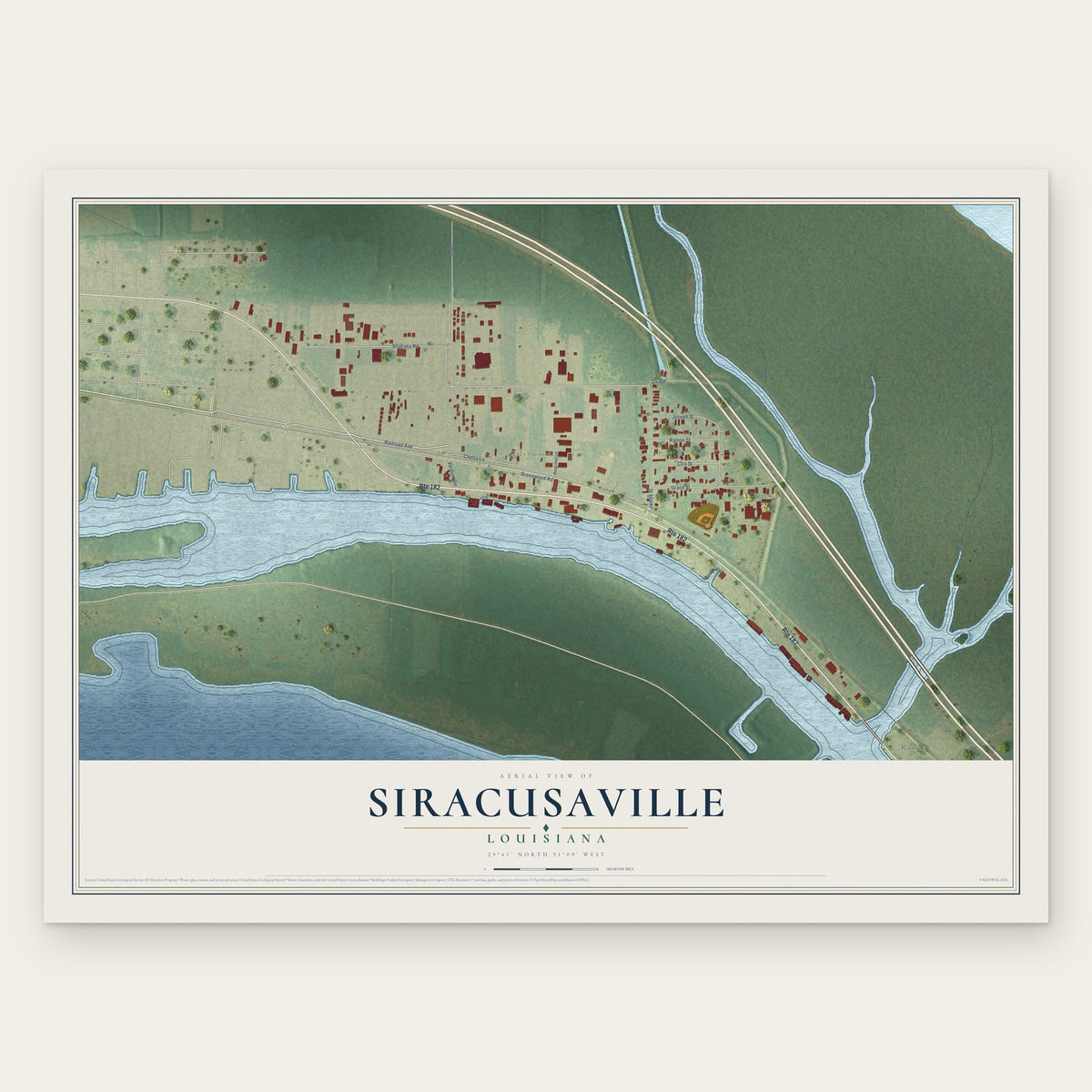
Siracusaville, Louisiana Map Art
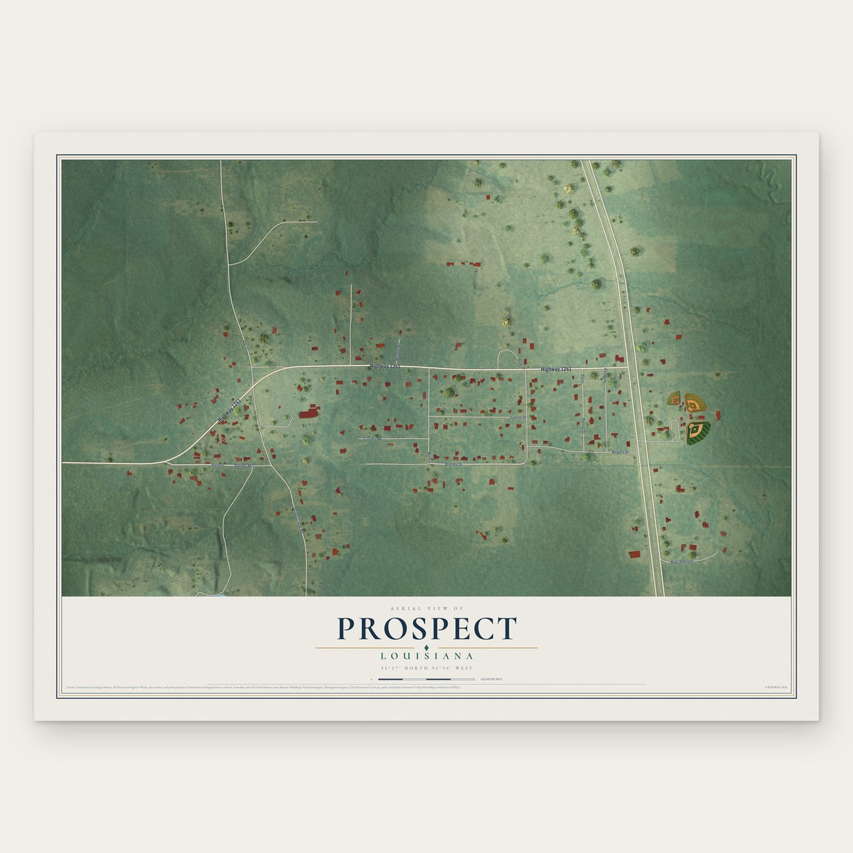

Point Place, Louisiana Map Art


Centerville, Louisiana Map Art

Lemannville, Louisiana Map Art
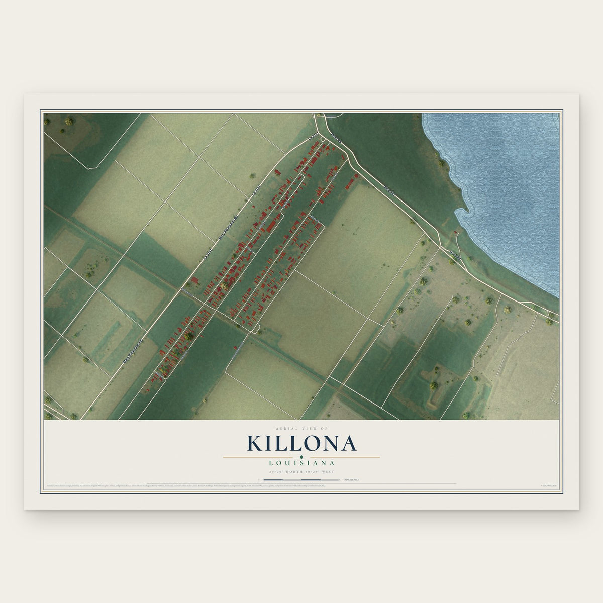


Lockport Heights, Louisiana Map Art

Bayou Country Club, Louisiana Map Art
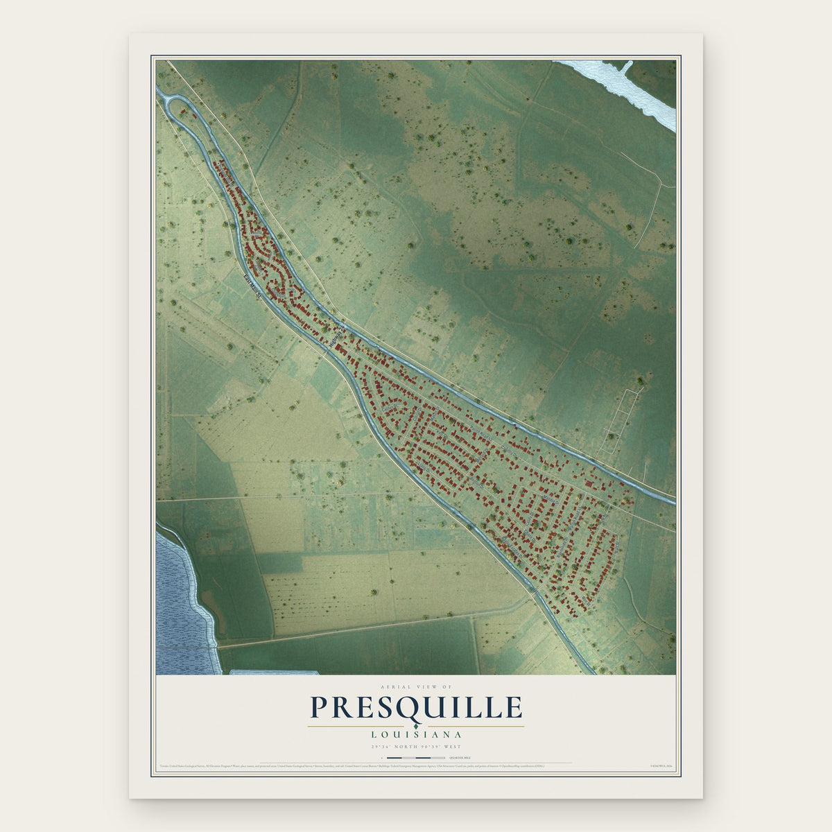


Baton Rouge, Louisiana Map Art

Vieux Carre, Louisiana Map Art


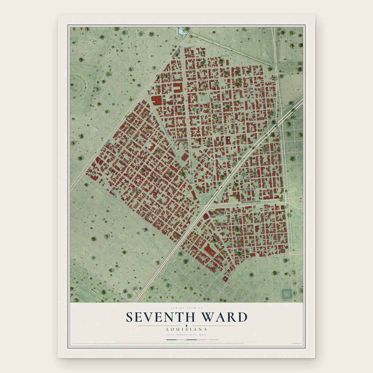
Seventh Ward, Louisiana Map Art


Lower Ninth Ward, Louisiana Map Art


Irish Channel, Louisiana Map Art


Gentilly Terrace, Louisiana Map Art

Garden District, Louisiana Map Art


Fairgrounds - Broad, Louisiana Map Art