
Search for another town


Free U.S. delivery 7 to 10 days after you order
Alexandria, Virginia Map Art
A new map of Alexandria, Virginia, made in 2026 and printed to order on thick archival matte paper.
12" x 18" Archival Matte Print
A Map of Home. A Work of Art.
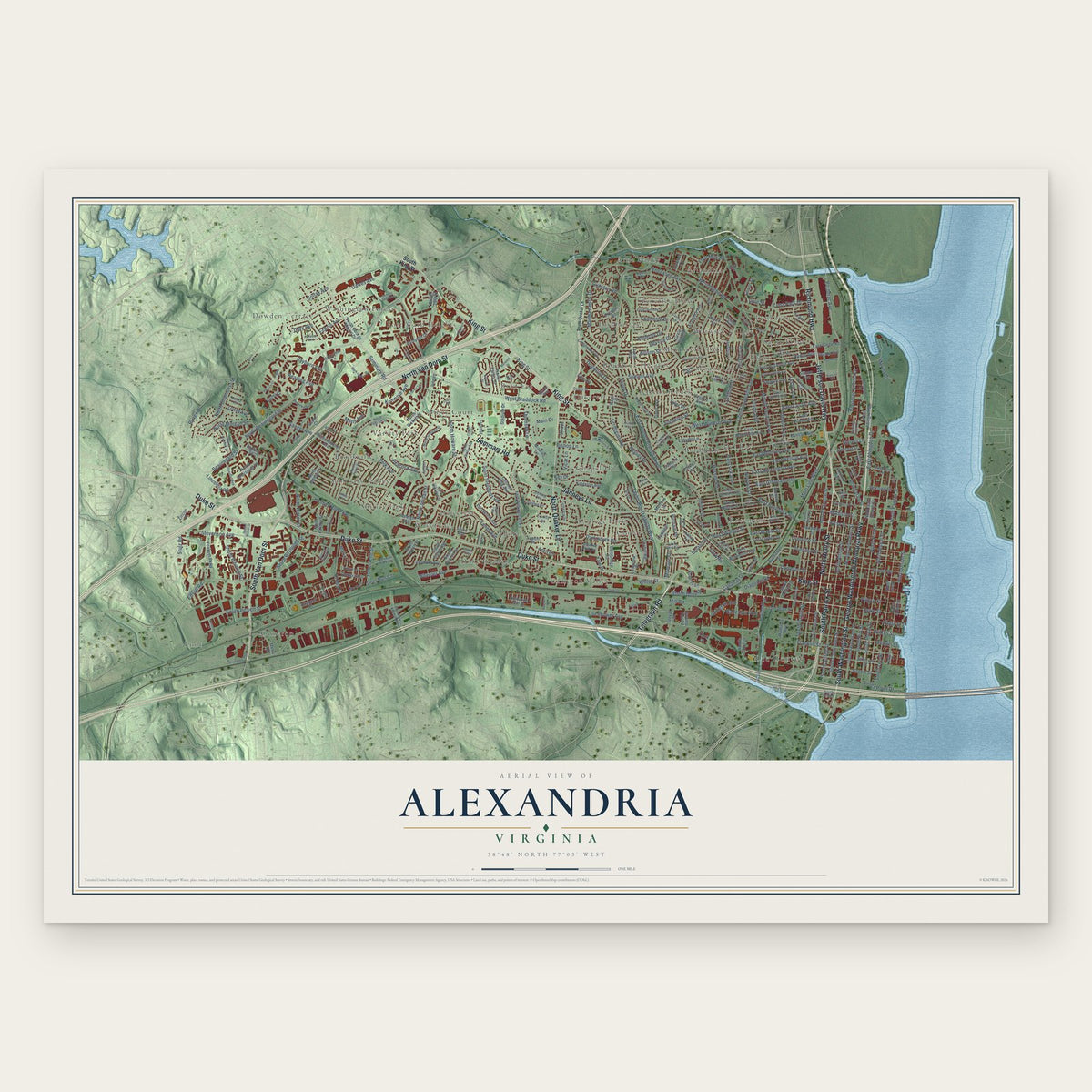
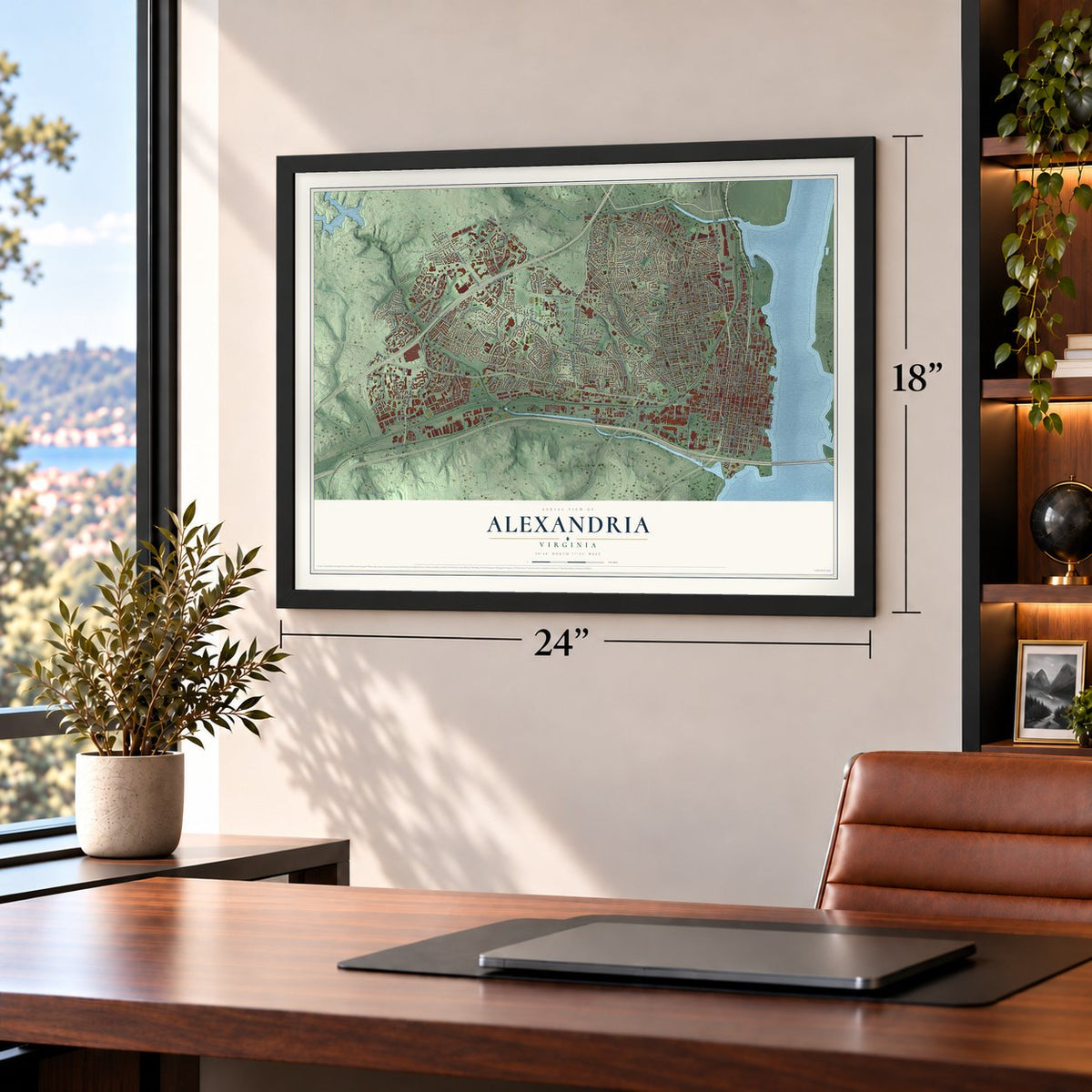
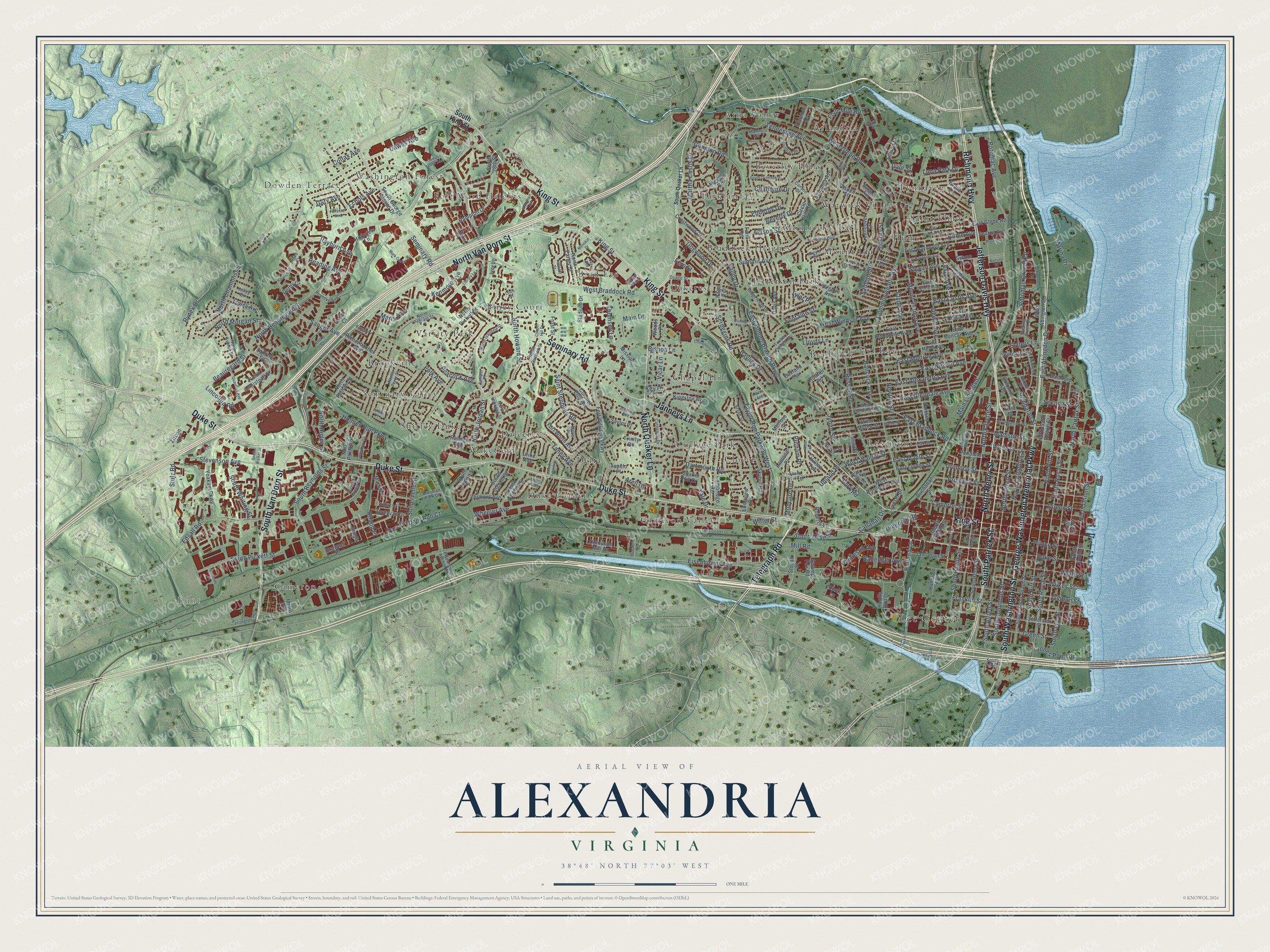
Explore Alexandria, Virginia from a whole new perspective. Created using aerial imagery and detailed geographic data, this map captures Alexandria building by building, with labeled streets, familiar landmarks, and shaded topographical relief that highlights the natural contours of the landscape.
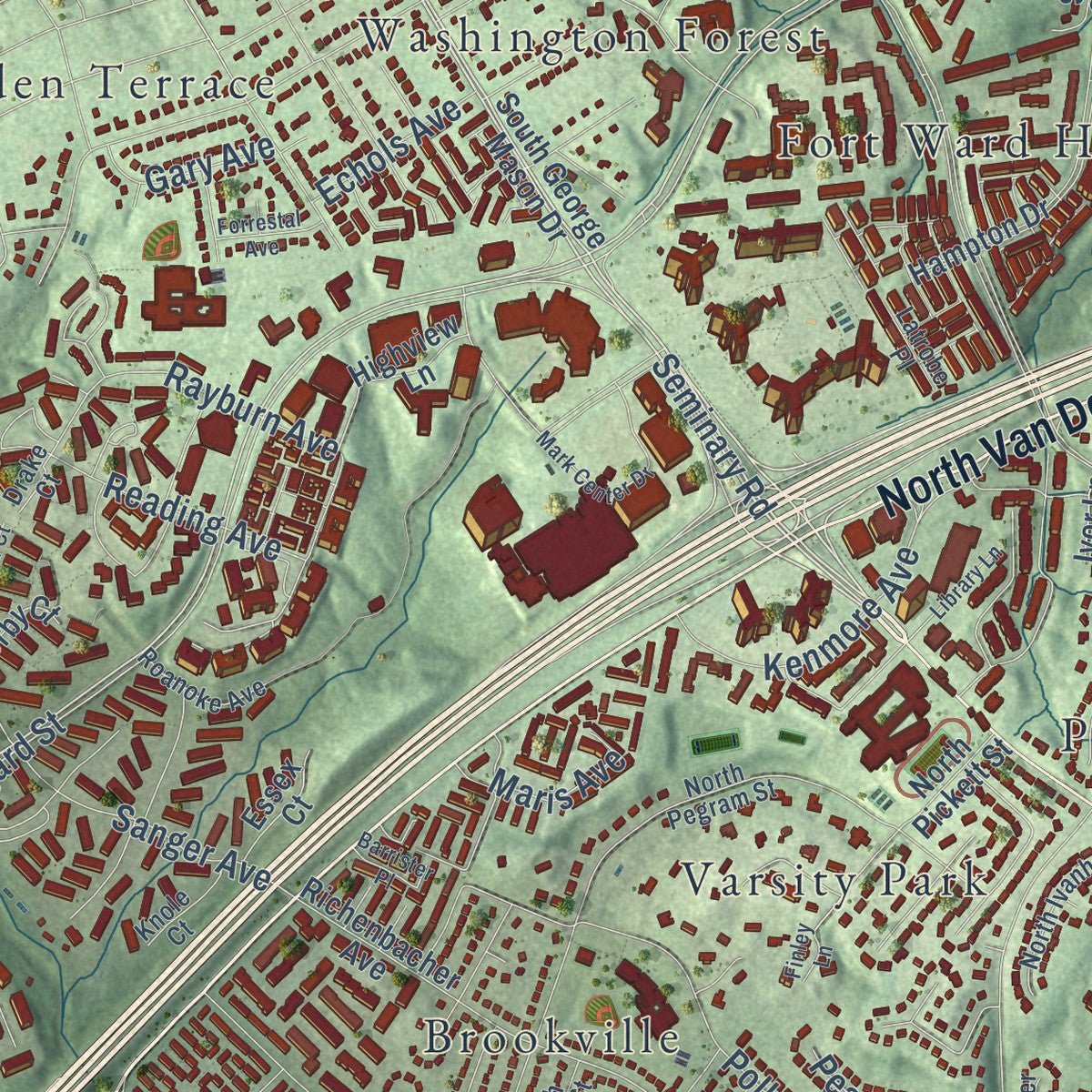
Combining modern data with the timeless character of a vintage atlas, this map is just as interesting up close as it is beautiful on the wall. Whether you grew up in Alexandria, spent memorable years there, or call it home today, this unique map is a great way to celebrate a place that means something to you. Zoom in on the preview to look for your street, and then order a print to put your memories on the wall.
Three ways to hang it
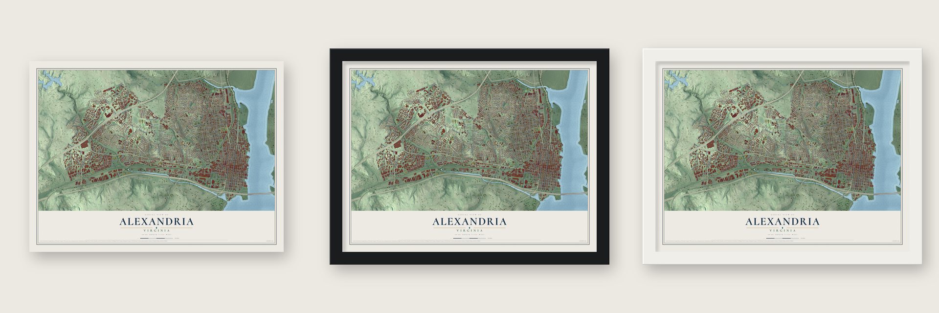
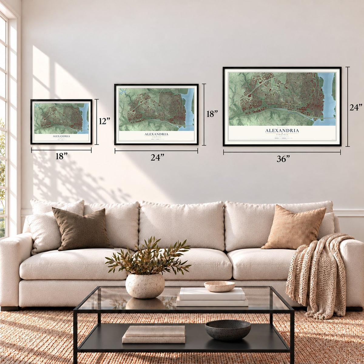
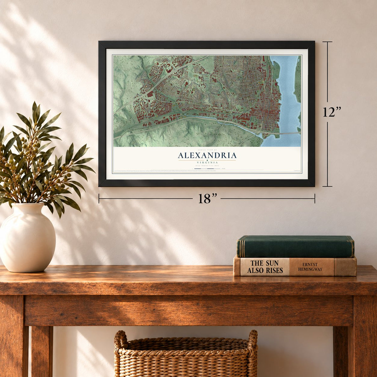
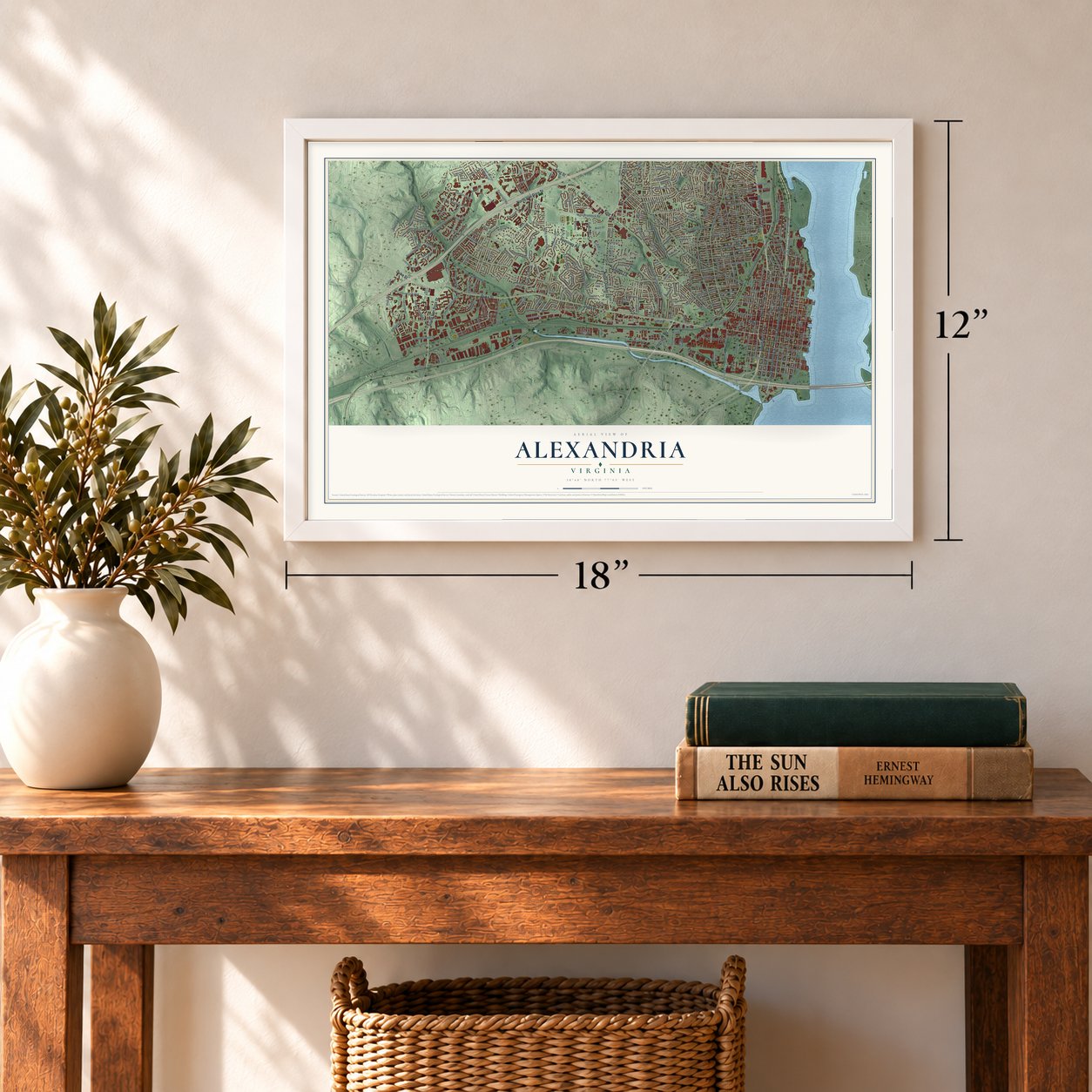
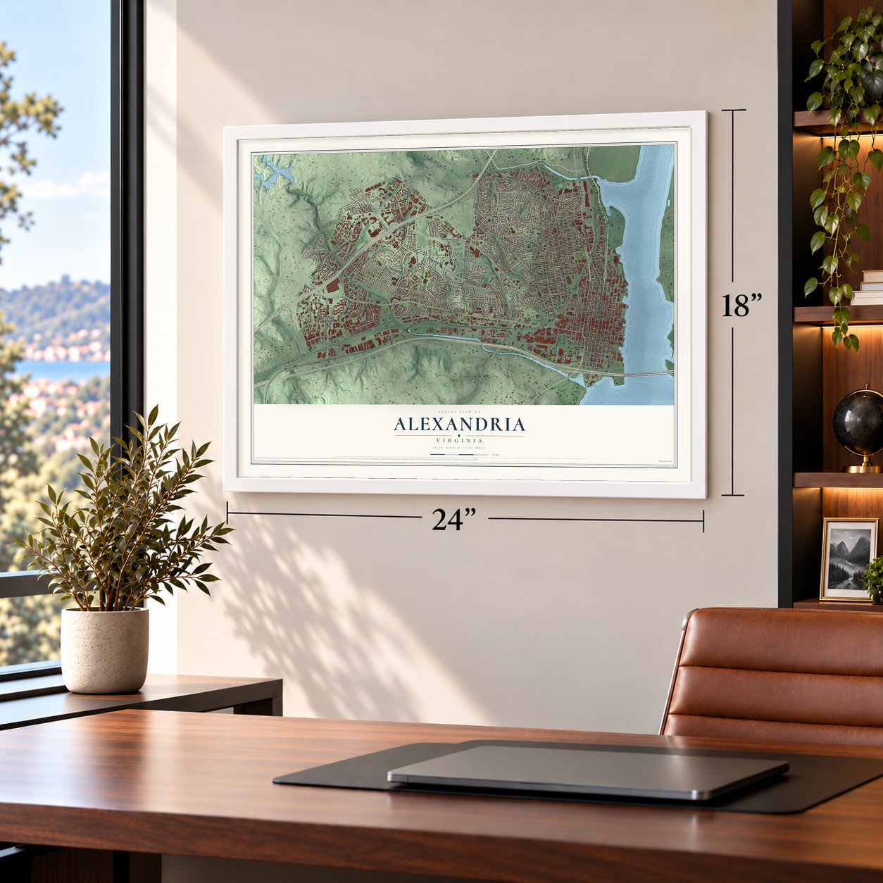
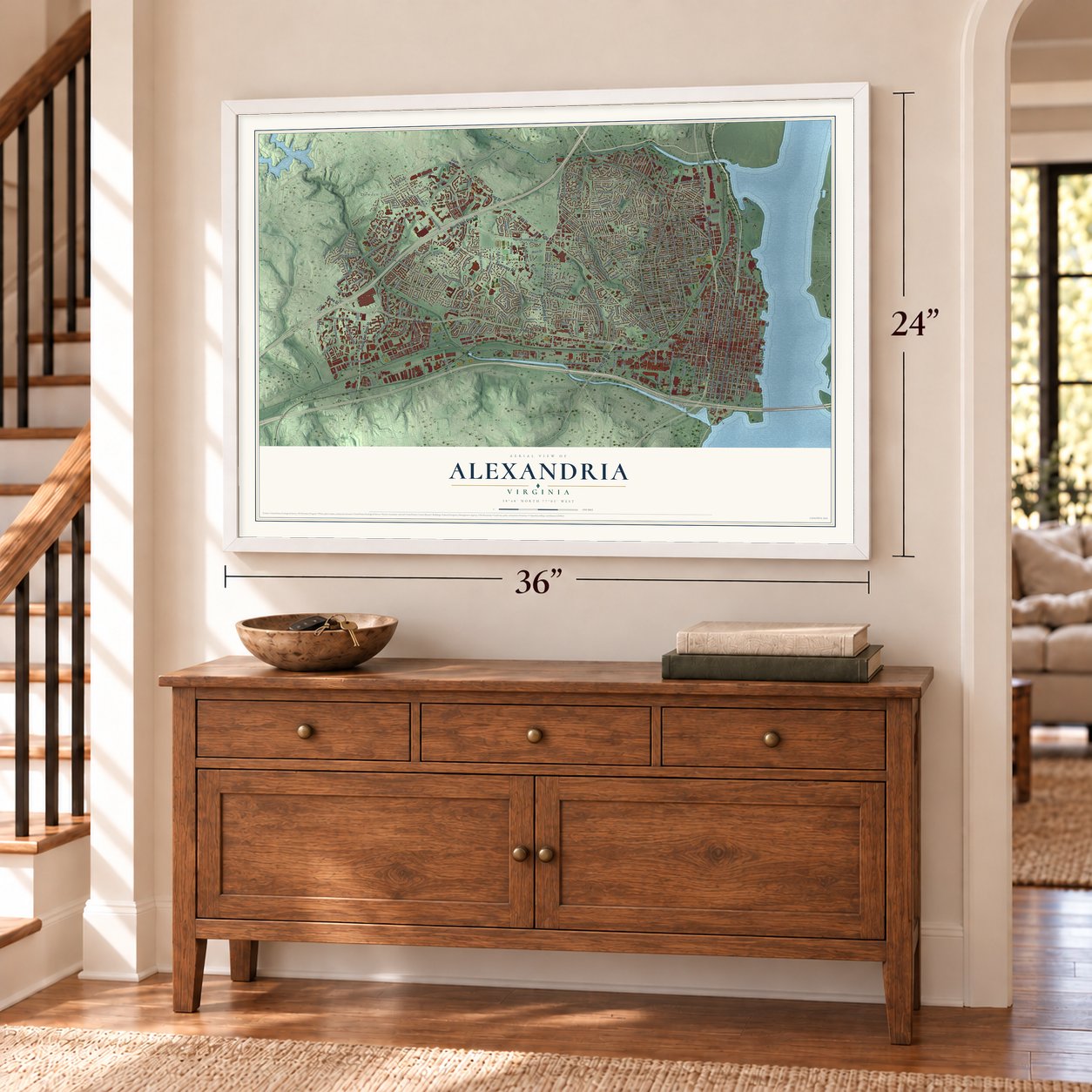
Unframed archival matte, a black wood frame or a white wood frame.
Up close
Geography Worth Displaying
This map was created using accurate cartographic data and authoritative geographic sources, including the U.S. Geological Survey and the Census Bureau. The map brings together terrain, waterways, roads, and building detail. The majority of the streets are labeled, houses are accurately depicted, and the topography is derived from government sources. Combining local data with carefully composed color and shading leads to this beautifully detailed Alexandria artwork for your wall.
Rather than simply showing street outlines, we’ve included as many of the street names as we could reasonably fit on the map while keeping their names legible. Zoom in on the high resolution preview to see exactly what’s on the map. We truly set out to create a statement piece for anyone who loves Alexandria. So whether it’s for you, or a gift for someone you love, we hope this map of Alexandria brings back fond memories.
Read the story behind this map of Alexandria, Virginia from 2026.

About Alexandria, Virginia
Alexandria is a city of 159,467 people on the Potomac River, just across from Washington, D.C. In 1748 planters and merchants of Fairfax County asked the House of Burgesses for a port town at the Hunting Creek tobacco warehouse, and lawmakers approved the site on May 2, 1749. County surveyor John West laid out 60 acres with help from a 17-year-old George Washington, and the lots were sold at auction on July 13 and 14 of that year. The town was named for John Alexander, a Scot who had owned much of the land.
Alexandria was incorporated as a town in December 1779, and its trade grew quickly after the Revolution. By 1796 it ranked as the seventh-largest port in the country, sending flour and tobacco to Europe and the West Indies. In 1801 it became part of the new District of Columbia, and its people lost their Virginia citizenship and their vote in federal elections. After years of economic trouble, it returned to Virginia in 1847. It was chartered as a city in 1852 and broke away from Alexandria County in 1870.
“Mr. Washington do go up with a Message to the Council and acquaint them that this House have agreed to the Amendments titled An Act for erecting a Town at Hunting Creek Warehouse, in the County of Fairfax”
- Braddock's war council, 1755In March 1755 General Edward Braddock came to Alexandria with about 1400 British regulars and 450 colonial troops to fight the French. At Carlyle House he met with five colonial governors, from Virginia, New York, Maryland, Pennsylvania and Massachusetts, to plan the war. His army then marched on Fort Duquesne, where a French and Native American force defeated it and Braddock was killed.
- The Fairfax Resolves, 1774After Britain closed Boston Harbor, George Washington, George Mason and other Fairfax County men gathered at Alexandria's Market Square on July 18, 1774. There they issued the Fairfax Resolves, urging the colonies to hold a joint congress and to stop buying British goods. During the war that followed, the town held a camp for Hessian prisoners but saw almost no fighting.
- A step toward the ConstitutionIn March 1785 Virginia and Maryland sent commissioners to Alexandria to settle trade questions between the two states, and they wrapped up their work at Mount Vernon on March 28. Their deal opened the Potomac to free trade and navigation. Maryland then proposed a meeting of all the states, which became the Annapolis Convention of 1786 and, in turn, the Federal Convention of 1787.
- Surrender in 1814During the War of 1812, British forces raided Alexandria in 1814, and the town gave up without a fight. To keep it from being destroyed, town leaders handed over twenty-two merchant ships along with stores of flour, tobacco, cotton, wine and sugar.
- A center of the slave tradeAs farming in Northern Virginia declined, Alexandria's traders began selling enslaved people to the cotton industry of the Deep South. By the 1830s the city was the nation's largest slave trading center, and Franklin & Armfield, one of the biggest firms, ran its market here from 1828 to 1836. The Franklin and Armfield Office and Bruin's Slave Jail are both on the National Register.
Find your street
Names on the Alexandria map
Every name below is printed on this map. Look for your street, your school, the park where you played, or the pond down the road.
Places and landmarks37
- Lee Center
- Lunt
- Fort Ward Park
- Arlandria
- Arna Valley
- Beverley Hills
- Brad Lee
- Braddock
- Braddock Heights
- Brookville
- Cameron
- Cameron Valley
Show all 37 places
- Chapel Hill
- Clover
- College Park
- Dalecrest
- Del Ray
- Delta
- Dowden Terrace
- Duke Gardens
- Fort Ward Heights
- Hume
- Jefferson Park
- Lynhaven
- Monticello Park
- Mount Ida
- Oakcrest
- Parkfairfax
- Piney Court
- Rosemont
- Saint Elmo
- Seminary Valley
- Shirley Duke
- Varsity Park
- Wakefield
- Warwick Village
- Washington Forest
Streets and roads337
- Seminary Road
- North Henry Street
- George Washington Memorial Parkway
- North Quaker Lane
- South Patrick Street
- Richmond Highway
- Jefferson Davis Highway
- North Van Dorn Street
- Duke Street
- King Street
- South Van Dorn Street
- South Washington Street
- Janneys Lane
- Telegraph Road
- Beauregard Street
- North Beauregard Street
- Slaters Lane
- Colfax Avenue
- Marina Drive
- Deer Run Court
- West Braddock Road
- Eisenhower Avenue
- Potomac Avenue
- Mount Vernon Avenue
- Russell Road
- Commonwealth Avenue
- Taney Avenue
- Valley Drive
- Holmes Run Parkway
- South Pickett Street
Show all 337 streets
- North Howard Street
- Main Line Boulevard
- Mill Road
- West Glebe Road
- Cameron Street
- Prince Street
- South Columbus Street
- Wheeler Avenue
- Martha Custis Drive
- Edsall Road
- Dewitt Avenue
- North Jordan Street
- North Royal Street
- East Custis Avenue
- North Pitt Street
- Oronoco Street
- Princess Street
- Wilkes Street
- North Chambliss Street
- Dawes Avenue
- South Alfred Street
- South Royal Street
- North Fairfax Street
- North Fayette Street
- North Morgan Street
- Leslie Avenue
- Franklin Street
- Queen Street
- Gunston Road
- Gibbon Street
- Madison Street
- Taylor Run Parkway West
- North Columbus Street
- East Monroe Avenue
- East Timber Branch Parkway
- North Alfred Street
- Potomac Greens Drive
- South Payne Street
- South Lee Street
- Stevenson Avenue
- Dartmouth Road
- Tennessee Avenue
- Powhatan Street
- Saint Stephens Road
- South Pitt Street
- Beverly Drive
- East Abingdon Drive
- East Nelson Avenue
- Wolfe Street
- Polk Avenue
- Sanger Avenue
- West Windsor Avenue
- East Braddock Road
- East Alexandria Avenue
- East Glendale Avenue
- Kenmore Avenue
- Fontaine Street
- North Ripley Street
- Green Street
- South Whiting Street
- Yale Drive
- Dogwood Drive
- South Reynolds Street
- Hume Avenue
- Key Drive
- Allison Street
- Hancock Avenue
- North Union Street
- Jamieson Avenue
- Main Drive
- Rayburn Avenue
- Echols Avenue
- Clyde Avenue
- Summit Avenue
- Four Mile Road
- Scroggins Road
- Second Street
- Upland Place
- Luna Park Drive
- Jones Point Drive
- Somervelle Street
- West Walnut Street
- Reading Avenue
- Moncure Drive
- Holland Lane
- South Dove Street
- Thomsen Lane
- Hickory Street
- Lloyds Lane
- Bayliss Drive
- Chalfonte Drive
- Knapp Place
- Diagonal Road
- Ballenger Avenue
- Enderby Drive
- Lincolnia Road
- Newton Street
- Witter Street
- East Maple Street
- Peacock Avenue
- Maris Avenue
- Park Road
- Bishop Lane
- Gary Avenue
- Callahan Drive
- Rynex Drive
- Putnam Place
- Junior Street
- Vicar Lane
- Arell Court
- Sanford Street
- Fern Street
- Stulz Road
- Tyler Place
- Dale Street
- South King Street
- South George Mason Drive
- Brawner Place
- Frost Street
- Zircon Drive
- Fort Williams Parkway
- North Pickett Street
- Hampton Drive
- East Howell Avenue
- Crestwood Drive
- Pendleton Street
- Wythe Street
- North Saint Asaph Street
- South Saint Asaph Street
- East Bellefonte Avenue
- Trinity Drive
- Raleigh Avenue
- North Armistead Street
- East Glebe Road
- Jefferson Street
- North Paxton Street
- South Union Street
- Virginia Avenue
- Fort Worth Avenue
- First Street
- Richenbacher Avenue
- Cambridge Road
- Yoakum Parkway
- North Earley Street
- Donovan Drive
- Bashford Lane
- East Raymond Avenue
- Swann Avenue
- Farm Road
- Vermont Avenue
- Davis Avenue
- Skyhill Road
- Ramsey Street
- East Duncan Avenue
- Saxony Square
- Circle Hill Road
- Preston Road
- Colonel Ellis Avenue
- Landover Street
- West Myrtle Street
- Quaker Hill Drive
- North Lee Street
- Alabama Avenue
- South Gordon Street
- Hooffs Run Drive
- Kingston Avenue
- West Abington Drive
- South Henry Street
- South 28th Street
- North Pelham Street
- Ruffner Road
- Hilltop Terrace
- Martin Lane
- Stewart Avenue
- Jamieson Street
- Aspen Street
- Lowell Avenue
- Highview Lane
- South Ingram Street
- Stadium Drive
- West Rosemont Avenue
- East Linden Street
- Edison Street
- Colonial Avenue
- Evans Lane
- Oakland Terrace
- South Jordan Street
- Dominion Mill Drive
- Longview Drive
- Buchanan Street
- Roberts Lane
- Metro Road
- Mission Lane
- Bernard Street
- Stovall Street
- Seaton Avenue
- South Peyton Street
- Sunset Drive
- Hamilton Avenue
- Essex Court
- Melrose Street
- Florence Drive
- Saylor Place
- Lamond Place
- Uline Avenue
- Derby Court
- Page Terrace
- Tupelo Place
- Woods Place
- Swamp Fox Road
- Ivor Lane
- Dock Lane
- North Pegram Street
- North West Street
- Montgomery Street
- East Mason Avenue
- Ridge Road Drive
- West Glendale Avenue
- North View Terrace
- East Oxford Avenue
- North Gaillard Street
- East Oak Street
- Brenman Park Drive
- North Ashton Street
- Gretna Green Court
- Argyle Drive
- Ellicott Street
- Hunting Creek Drive
- Portner Road
- North Ivanhoe Street
- Bryan Street
- South View Terrace
- Manor Road
- Murtha Street
- Farrington Avenue
- Usher Avenue
- Kilburn Street
- Timber Branch Drive
- Rucker Place
- North Pryor Street
- Cathedral Drive
- Roanoke Avenue
- Sterling Avenue
- Eisenhower Avenue Con
- Randolph Avenue
- North Imboden Street
- Burgess Avenue
- Bruce Street
- Pullman Place
- Knole Court
- Osage Street
- Kelley Court
- West Uhler Terrace
- Moss Place
- Johnston Place
- Latrobe Place
- Marlee Way
- Juniper Place
- Bessley Place
- Norris Place
- Battery Place
- Canyon Drive
- South Alfred
- Drake Court
- South Quaker Lane
- East Myrtle Street
- Campus Lane East
- South Fayette Street
- Chinquapin Drive
- East Randolph Avenue
- Carpenter Road
- Monticello Boulevard
- East Clifford Avenue
- Canterbury Square
- Bus Center Drive
- Library Lane
- Wyndham Circle
- South West Street
- South Overlook Drive
- Mark Center Drive
- West View Terrace
- Quantrell Avenue
- Quincy Street
- Menokin Drive
- North French Street
- Maskell Street
- Michigan Avenue
- Sanborn Place
- Forrestal Avenue
- Harwich Court
- Groves Avenue
- Barrister Place
- Albany Avenue
- Jay Avenue
- Bluestone Road
- South Walker Street
- Burnside Place
- Herbert Street
- Watson Street
- Chapel Hill Drive
- Avalon Court
- Doris Drive
- Auburn Court
- Sutton Place
- Louis Place
- Finley Lane
- Third Street
Names are listed as they appear on the printed map. Zoom into the product photos to find them.
The art of mapping a place
How This Map Was Made
Real places. Remarkable detail. Discover the layers that turn geographic data into a map of home.

The view from above
Aerial imagery reveals the character of the land: woodland, open fields, and the patterns of a place.

The shape of the land
Elevation data brings hills, valleys, and subtle changes in the landscape into view.

The details of home
Roads, waterways, and building footprints come together to make the map feel unmistakably local.

Geography becomes art
Considered color, shading, and typography bring the layers together in a map made for your wall.


Process illustrated with Mendon, Massachusetts. Aerial imagery: USDA NAIP. Terrain: USGS 3D Elevation Program. Map details and finished artwork: KNOWOL.
The Details
About This Print
Choose an archival matte print, or a black or white Ayous wood frame. The archival matte print is unframed.
Select your size and finish above to see the matching product image and price.
Materials & Craftsmanship
A contemporary map with the character of a classic atlas, printed on archival matte paper. Optional frames are made from Ayous wood.
Your printed map does not include the watermark shown in the full-map preview.
Shipping & Delivery
Free shipping within the United States. Every print is made to order in the USA.
Buying a gift? Add a note in your cart and we'll include it. We never put prices in the package.
Prints ship within 2 to 3 business days. Allow 7 to 10 days total from ordering for delivery. Timing may vary during holidays or periods of high order volume.
Read our shipping policy.
Returns and damaged prints
Each print is made to order. Change-of-mind refunds are not available after production.
If your print arrives damaged, misprinted or incorrect, contact support@knowol.com within 30 days of receiving it. Include your order number, photos and a description of the issue.
Read our full refund and replacement policy. For questions about your order, email support@knowol.com.
Find your town
Looking for another city?
Find a map of home in our Virginia collection, or any town in the country.
Nearby
Maps of towns near Alexandria
Know someone from one of these towns? Their map makes a great gift.
 Huntington
, Virginia
From $39.99See the map
 Rose Hill
, Virginia
From $39.99See the map
 Bailey's Crossroads
, Virginia
From $39.99See the map
More maps nearby: Lincolnia, Groveton, Arlington, Seven Corners and Lake Barcroft.