
Search for another town
Free U.S. delivery 7 to 10 days after you order
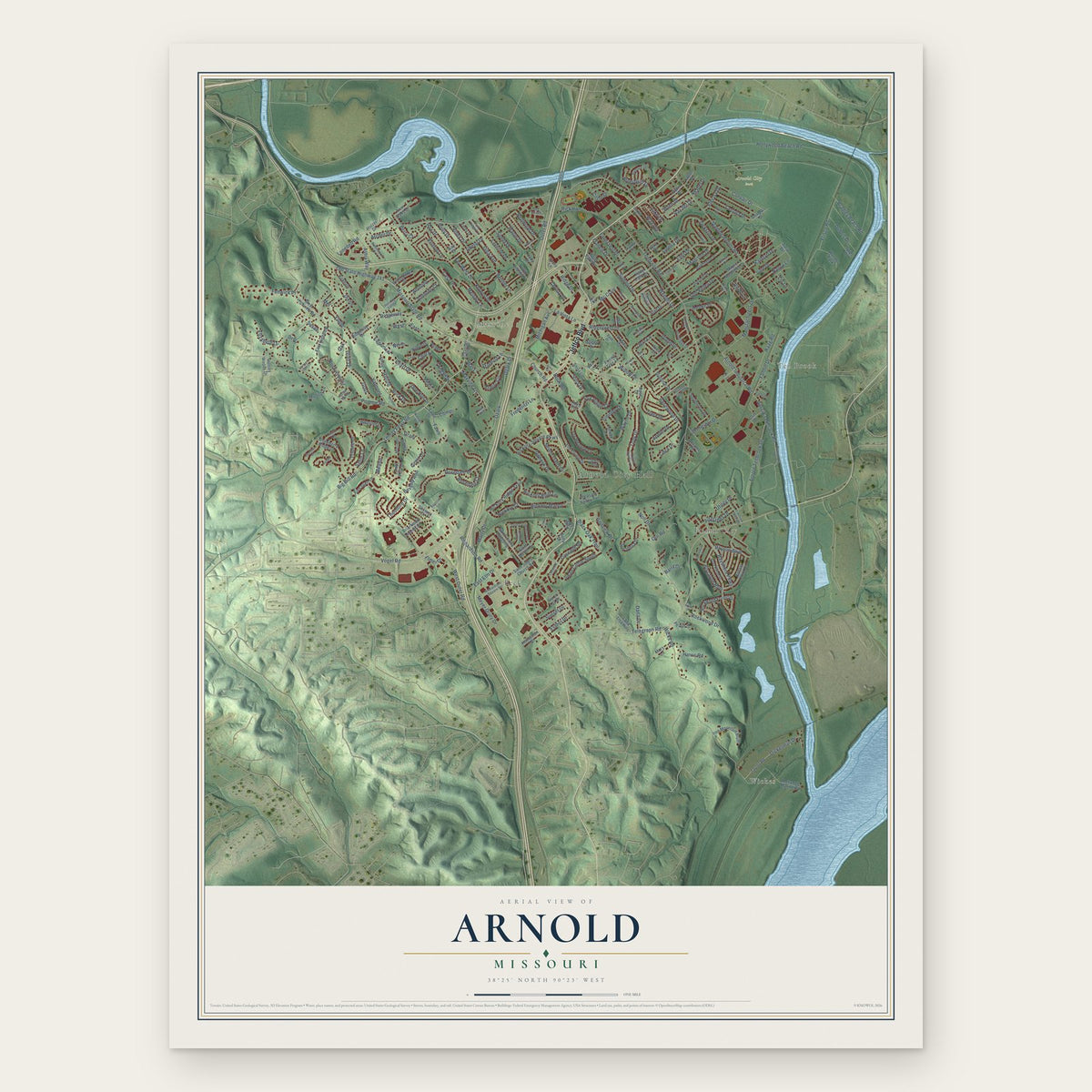
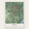
Arnold, Missouri Map Art
Building by building, with labeled streets and shaded relief.
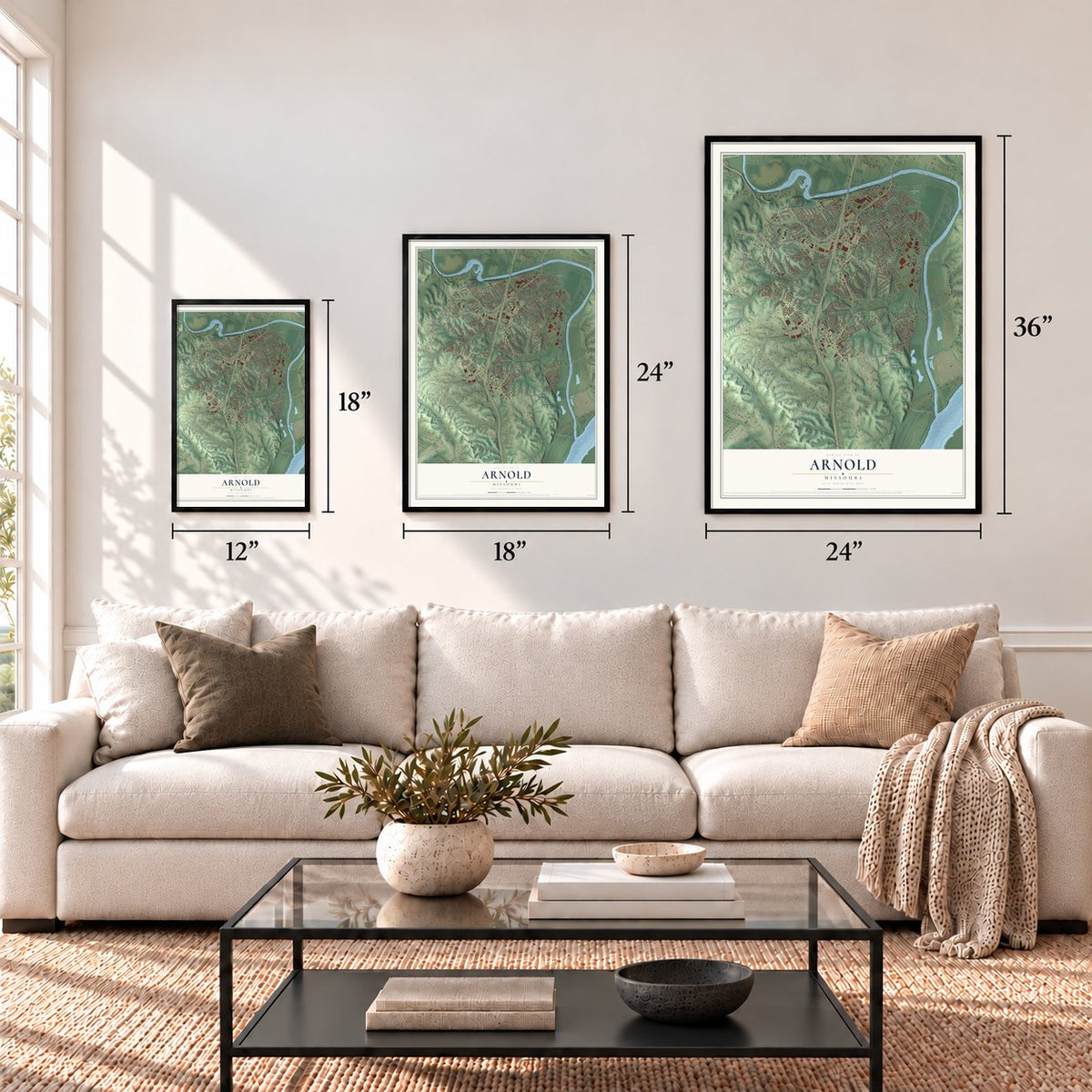
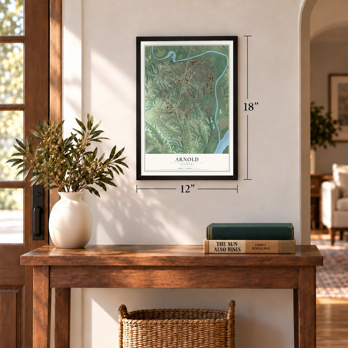
12" x 18" Archival Matte Print
A Map of Home. A Work of Art.
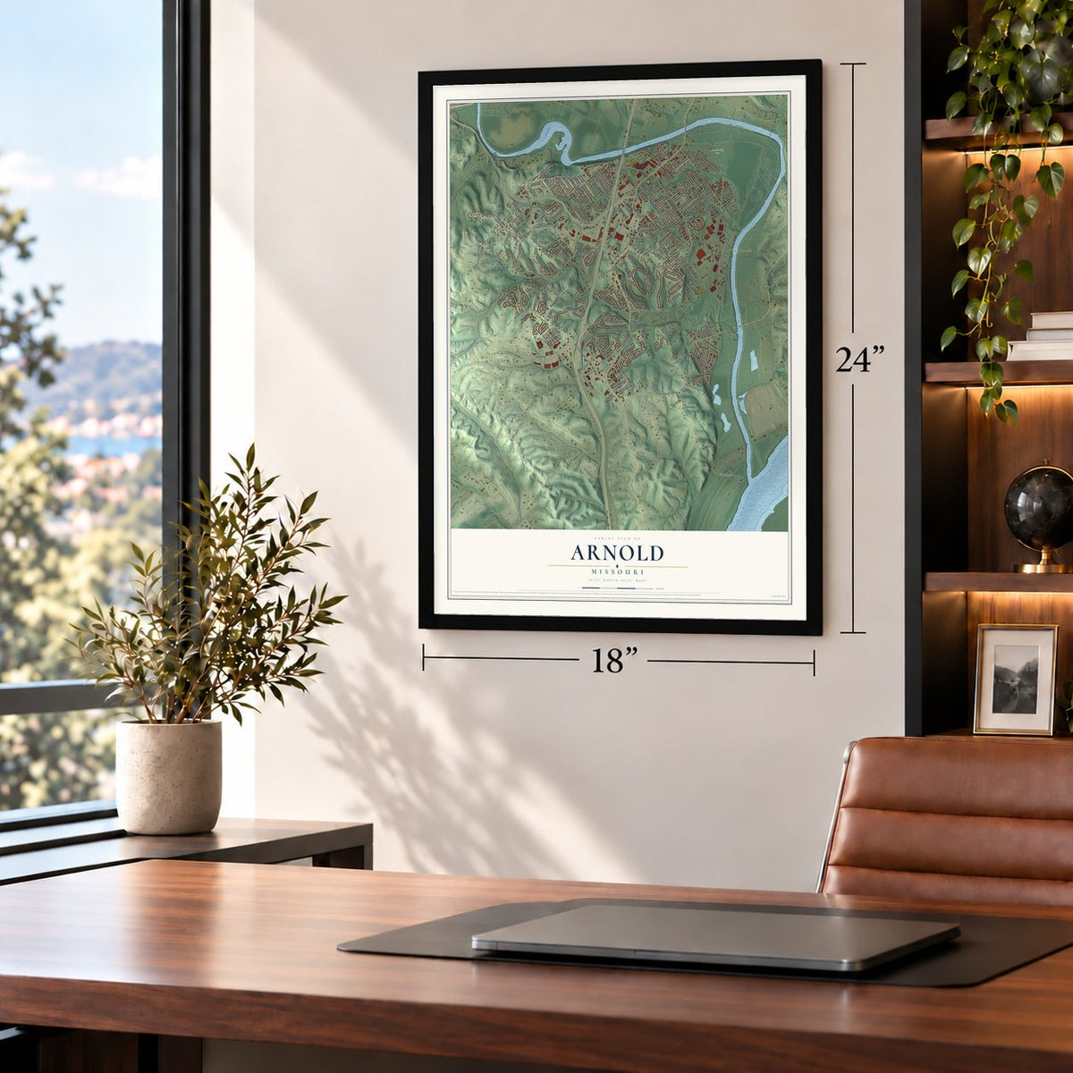
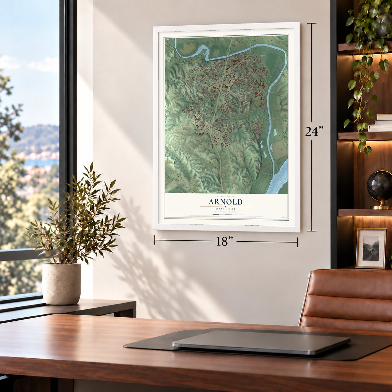
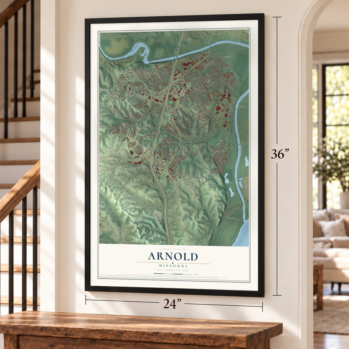
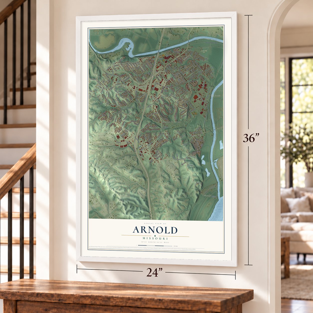
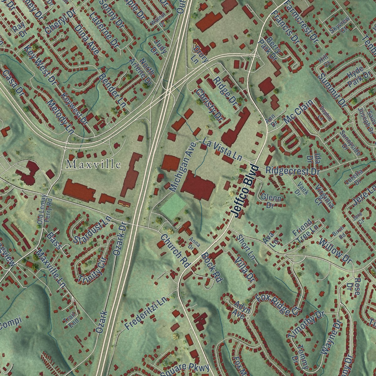
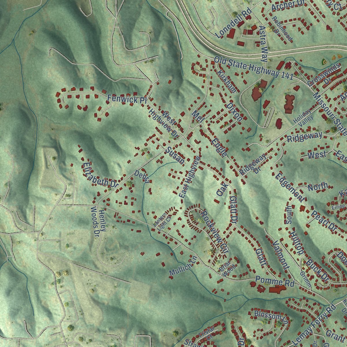
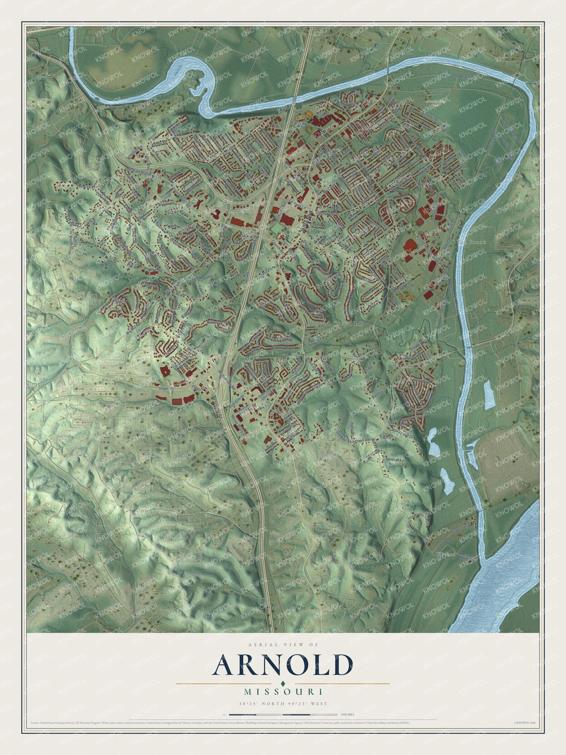
Explore Arnold, Missouri from a whole new perspective. Created using aerial imagery and detailed geographic data, this map captures Arnold building by building, with labeled streets, familiar landmarks, and shaded topographical relief that highlights the natural contours of the landscape.
Combining modern data with the timeless character of a vintage atlas, this map is just as interesting up close as it is beautiful on the wall. Whether you grew up in Arnold, spent memorable years there, or call it home today, this unique map is a great way to celebrate a place that means something to you. Zoom in on the preview to look for your street, and then order a print to put your memories on the wall.
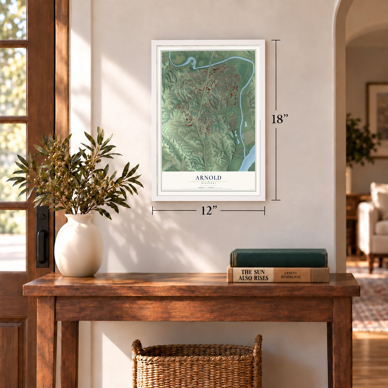
Three ways to hang it
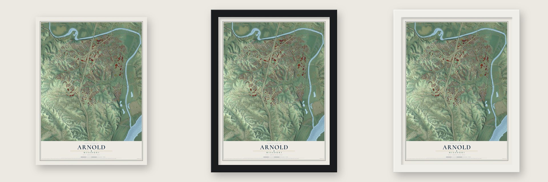
Unframed archival matte, a black wood frame or a white wood frame.
Up close
Geography Worth Displaying
This map was created using accurate cartographic data and authoritative geographic sources, including the U.S. Geological Survey and the Census Bureau. The map brings together terrain, waterways, roads, and building detail. The majority of the streets are labeled, houses are accurately depicted, and the topography is derived from government sources. Combining local data with carefully composed color and shading leads to this beautifully detailed Arnold artwork for your wall.
Rather than simply showing street outlines, we’ve included as many of the street names as we could reasonably fit on the map while keeping their names legible. Zoom in on the high resolution preview to see exactly what’s on the map. We truly set out to create a statement piece for anyone who loves Arnold. So whether it’s for you, or a gift for someone you love, we hope this map of Arnold brings back fond memories.
Read the story behind this map of Arnold, Missouri from 2026.
Find your street
Names on the Arnold map
Every name below is printed on this map. Look for your street, your school, the park where you played, or the pond down the road.
Places and landmarks8
- Arnold City Hall
- Wickes
- Ten Brook
- Maxville
- Arnold City Park
- Beck
- Flamm City
- Wonder Park
Streets and roads287
- Jeffco Boulevard
- Arnold Tenbrook Road
- Big Bill Road
- Outer Road
- West Outer Road
- Church Road
- Tony Drive
- Wayne Drive
- Elmer Drive
- Fox Ridge Court
- Lemay Ferry Road
- Vogel Road
- Lonedell Road
- Arnold Industrial Road
- Old State Highway 141
- Biscayne Boulevard
- Bayvue Boulevard
- Tenbrook Road
- Richardson Road
- Hollywood Beach Road
- Telegraph Road
- Bradley Beach Road
- Wicks Road
- Missouri State Road
- Starling Airport Road
- Pomme Road
- Bayshore Parkway
- Rosedale Drive
- Melody Lane
- Arnold Tenbrook Drive
Show all 287 streets
- Ozark
- Ozark Drive
- Bock Road
- Michigan Avenue
- Hickory Manor
- Anthony
- Anthony Court
- Dickerman Drive
- Weedel Drive
- Rockview Circle
- Manufacturers Drive
- Glatt
- Glatt Drive
- Bender Lane
- Laverne Drive
- Frederitzi Lane
- Maxville Lane
- Trinity Circle
- Rockwood Drive
- Sunset Drive
- Fannie Drive
- Summit Drive
- Haag Road
- Key West Drive
- Ridgecrest Drive
- Jere Lane
- Tribute Drive
- Dohack Drive
- Ridgeway
- Casa Drive
- Rosewood Drive
- Astra Way
- Convair Drive
- Grant
- Grant Drive
- Henke Drive
- Pearl
- Pearl Drive
- Airglades Drive
- Fenwick Place
- Sur Vista Drive
- Engle
- Esther Drive
- Redwood Drive
- Fawn
- Swan Circle South
- Frisco Road
- Tiara Drive
- Jackson Drive
- Edgemont
- Sun Valley Drive
- La Vista Lane
- Doe Run Drive
- Willow Drive
- Karpos
- Hickory Square Parkway
- Plaza Drive
- Circle Drive
- Hickory Ridge Trail
- Our Road
- Black Oak Trail
- Cessna Drive
- Cheryl Drive
- Rickman
- Dubois Drive
- Riverbluff Drive
- Kathryn Drive
- Maple Drive
- Sable Lane
- Rosedale Court
- Nancy Lane
- Compi
- Harris Road
- Meyer Drury Drive
- Schneider Drive
- Buck Drive
- Seven Trails Drive
- Emil Drive
- Archer Drive
- June Drive
- Stardust Lane
- Valmont
- Hickory Bluff Lane
- Roy Drive
- Apollo Drive
- Ray del Drive
- Louisa Drive
- Madison Drive
- Cascade Drive
- Libra Drive
- Sonny Drive
- Christy Drive
- Farmcrest Drive
- Villa Drive
- Wren Drive
- Noll Drive
- Ridge Drive
- Marty Drive
- Golfview Drive
- Timothy Drive
- Theodore Drive
- Polly Drive
- Piney Drive
- Diane Drive
- Mc Clain
- Dixon
- Francis Drive
- Lake Drive
- Hickory Court
- Dina Avenue
- Electra Drive
- West
- Elizabeth Drive
- East Elm Drive
- Melton
- Beverly Ann
- Dana Drive
- Hilltop
- Chara
- Sunrise Drive
- Berry Court
- Mabel Drive
- Utility Drive
- Birch Lane
- Bass
- Longview
- North
- Barry Drive
- Lill Lane
- East
- Susan
- Mel
- Oak
- Tommy Drive
- Fox Pointe Drive
- Taylor Road
- Meramec Marine Road
- Keywest Drive
- Ridgeway Drive
- Pleasant Valley Terrace
- Rockwood Forest Drive
- Strawberry Ridge Drive
- Saint Johns Church Road
- Henley Woods Drive
- Fawn Drive
- Lamp Post Lane
- West Highview Drive
- East Highview
- Saint Johns Crossing
- Ballast Point Drive
- Blossom Lane
- Fox Meadow Lane
- Spies Drive
- Iron Mountain Bluff
- Briarwood Manor Drive
- Robin Drive
- Vera Drive
- Hyde Park Drive
- Lana Lisa Hills
- Southcrest Drive
- Glenn Drive
- Saint Martin Drive
- Ems Glen Lane
- Harmony Lane
- Twin Oaks Drive
- Maple Meadows Drive
- North Arlene Drive
- Virginia Court
- Peach Drive
- Agape
- Kirkham
- Grace
- Alan Drive
- Crosswinds Drive
- Berry Park Drive
- Hobelman Drive
- Friend Tree Lane
- Short Lane
- Cliff Drive
- Mullich Lane
- South
- Douglas Drive
- Alice Drive
- Abrams Court
- Mary Lane
- Chelsea Court
- Keller Drive
- Julia Drive
- Mary Drive
- Ida Drive
- Adyn Avenue
- Drury Lane
- Holzer Drive
- Judy Drive
- Rose Drive
- Ro Jo Ja Drive
- Debra
- Betty Drive
- Ava Lane
- Ray Drive
- Fox Chase
- Richardson Square Drive
- Rivershore Drive
- Old Lemay Ferry Road
- Boca Raton Drive
- Holiday Valley
- Woodridge Drive
- Dornseif Drive
- Skyview Court
- Grimm
- Washington Drive
- Dudler Drive
- Robinhood Drive
- Sunnyside Drive
- Talley Drive
- Fox Run Ridge
- Morris Drive
- Saint Joseph Drive
- Park Ridge Lane
- Shady Drive
- Christ Drive
- Cascade Court
- Tristar Court
- Vaek Drive
- Patricia Lane
- Karley Drive
- Kroupa Drive
- Loretta Drive
- Ann Drive
- Vista Drive
- Briar Wood
- Hill Court
- Trail End
- Pomme Meadows Drive
- Sophie Lane
- Saint Christopher Way
- Foxwood Estates Drive
- Hawksbury Drive
- Lincoln Drive
- Piper Drive
- Tanglewood Drive
- Guardian Court
- Lakeview Crossing
- Saint Francis Drive
- Bluffview Heights
- Pistis
- Anna Drive
- Ellen Drive
- Walnut Drive
- Birch Road
- Can Lane
- Catskill Lane
- Eirine
- Lantern Light Court
- Apple Drive
- Clara Drive
- Jere Court
Names are listed as they appear on the printed map. Zoom into the product photos to find them.
About Arnold, Missouri
Arnold stands in northeastern Jefferson County near the meeting of the Meramec and Mississippi rivers, just south of St. Louis County. Its population reached 20,858 in the 2020 census, making it Jefferson County's largest community. The city's name recalls Louis Arnold, from whom Ferd Lang Sr. purchased land before establishing a store, tavern, and gas station in the mid-1920s.
- Historic Ferry RouteIn 1776, Jean Baptiste Gamache received 1,050 arpents from Spain's King Charles III and operated a Meramec River ferry along the King's Trace.
- Arnold City ParkArnold City Park covers 68 acres and includes a fishing lake, four pavilions, a playground, trails, multipurpose fields, and several game areas.
- Presidential VisitsFox High School hosted President Bill Clinton's 1993 flood summit and President Barack Obama's town hall marking his 100th day in office in 2009.
- Red Light CamerasIn 2005 Arnold became Missouri's first city to install red-light cameras; a state appeals court found its camera ordinance unconstitutional in 2013.
- Record River CrestThe Meramec reached a record 47.26 feet on December 31, 2015, affecting more than 300 homes and closing Interstate 55 north of Arnold.
Keep exploring Missouri
Arnold is one of 1,207 Missouri towns we've mapped. Every dot on the map is a print of its own.
The search covers every state, Missouri first.
Near Arnold
Order 2 or more town maps and save 10%. Shown in the size and finish you picked above, so they hang as a set.
- Oakville 12" x 18" / Archival Matte Print $39.99
- Seckman 12" x 18" / Archival Matte Print $39.99
- Kimmswick 12" x 18" / Archival Matte Print $39.99
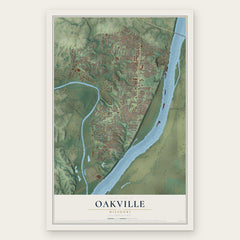
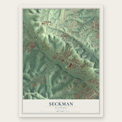
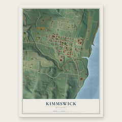
More maps nearby: Imperial, Concord, Mehlville, Barnhart and Antonia.
The art of mapping a place
How This Map Was Made
Real places. Remarkable detail. Discover the layers that turn geographic data into a map of home.

The view from above
Aerial imagery reveals the character of the land: woodland, open fields, and the patterns of a place.

The shape of the land
Elevation data brings hills, valleys, and subtle changes in the landscape into view.

The details of home
Roads, waterways, and building footprints come together to make the map feel unmistakably local.

Geography becomes art
Considered color, shading, and typography bring the layers together in a map made for your wall.


Process illustrated with Mendon, Massachusetts. Aerial imagery: USDA NAIP. Terrain: USGS 3D Elevation Program. Map details and finished artwork: KNOWOL.
The Details
About This Print
Choose an archival matte print, or a black or white Ayous wood frame. The archival matte print is unframed.
Select your size and finish above to see the matching product image and price.
Materials & Craftsmanship
A contemporary map with the character of a classic atlas, printed on archival matte paper. Optional frames are made from Ayous wood.
Your printed map does not include the watermark shown in the full-map preview.
Shipping & Delivery
Free shipping within the United States. Every print is made to order in the USA.
Buying a gift? Add a note in your cart and we'll include it. We never put prices in the package.
Prints ship within 2 to 3 business days. Allow 7 to 10 days total from ordering for delivery. Timing may vary during holidays or periods of high order volume.
Read our shipping policy.
Returns and damaged prints
Each print is made to order. Change-of-mind refunds are not available after production.
If your print arrives damaged, misprinted or incorrect, contact support@knowol.com within 30 days of receiving it. Include your order number, photos and a description of the issue.
Read our full refund and replacement policy. For questions about your order, email support@knowol.com.