
Search for another town

Free U.S. delivery 7 to 10 days after you order
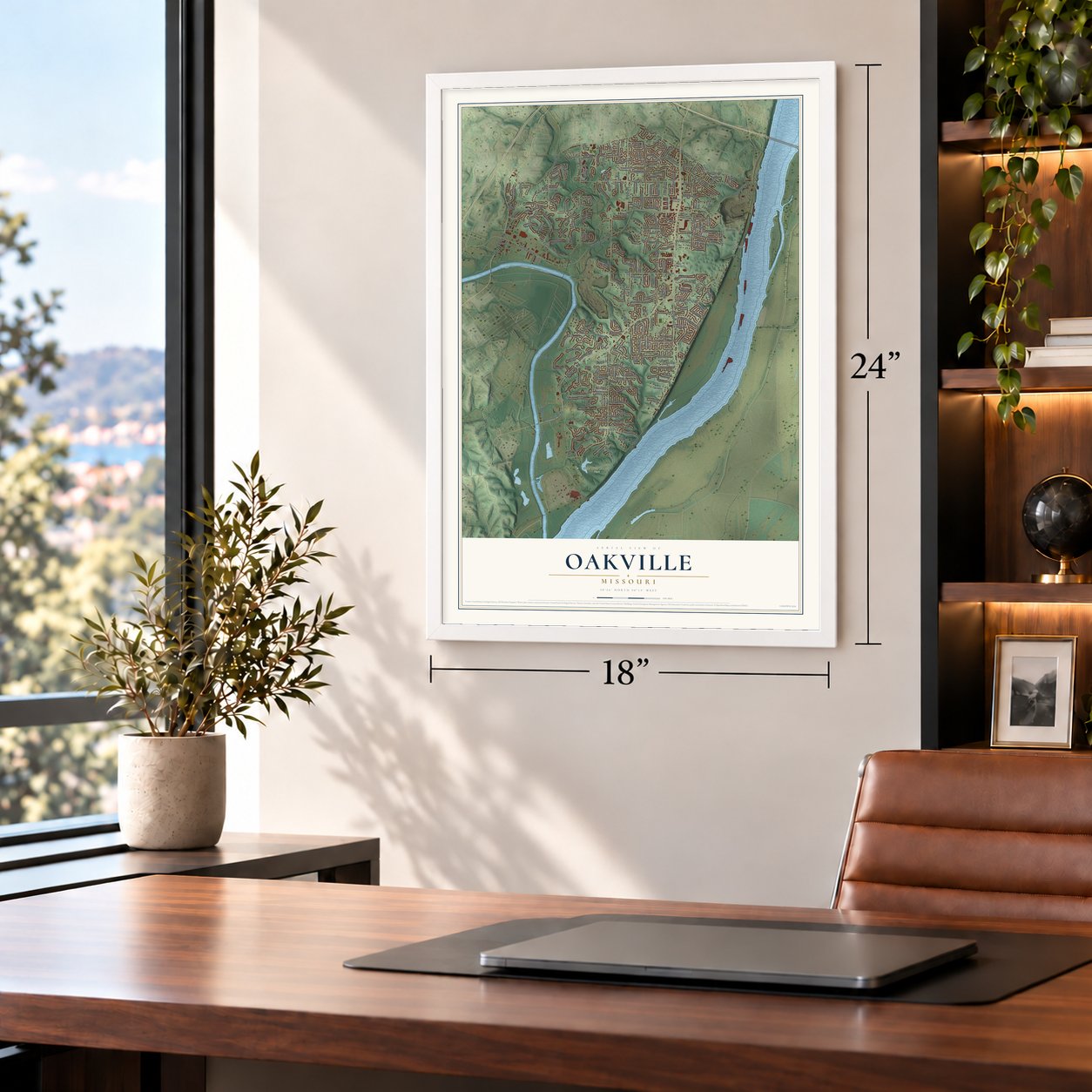
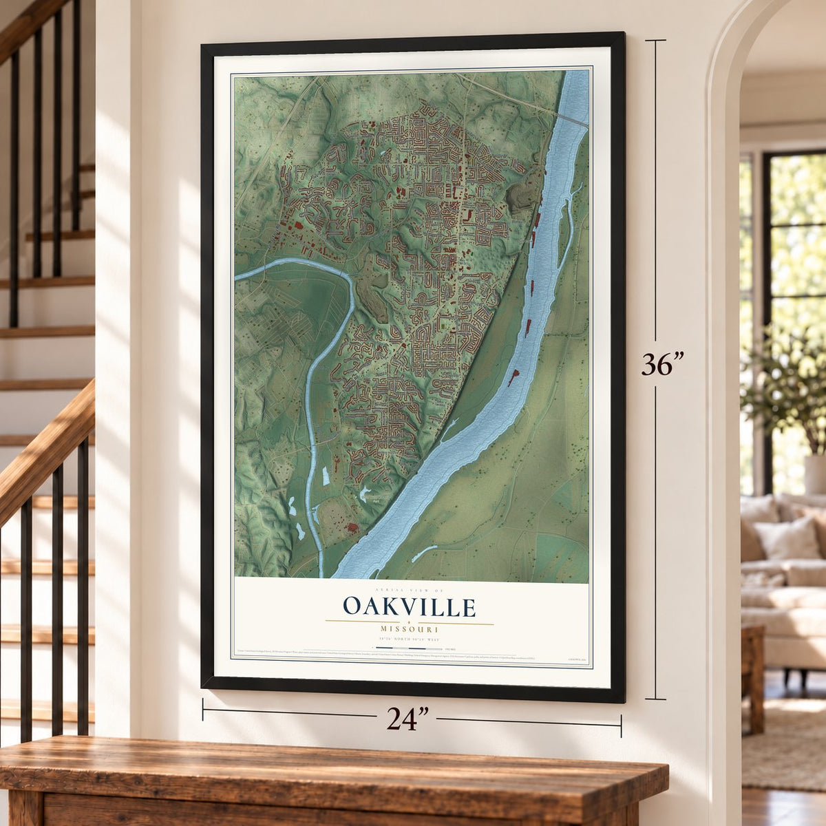
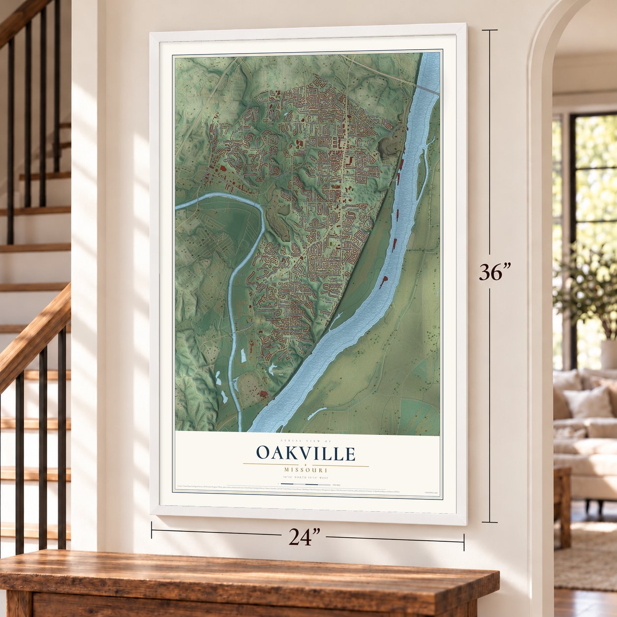
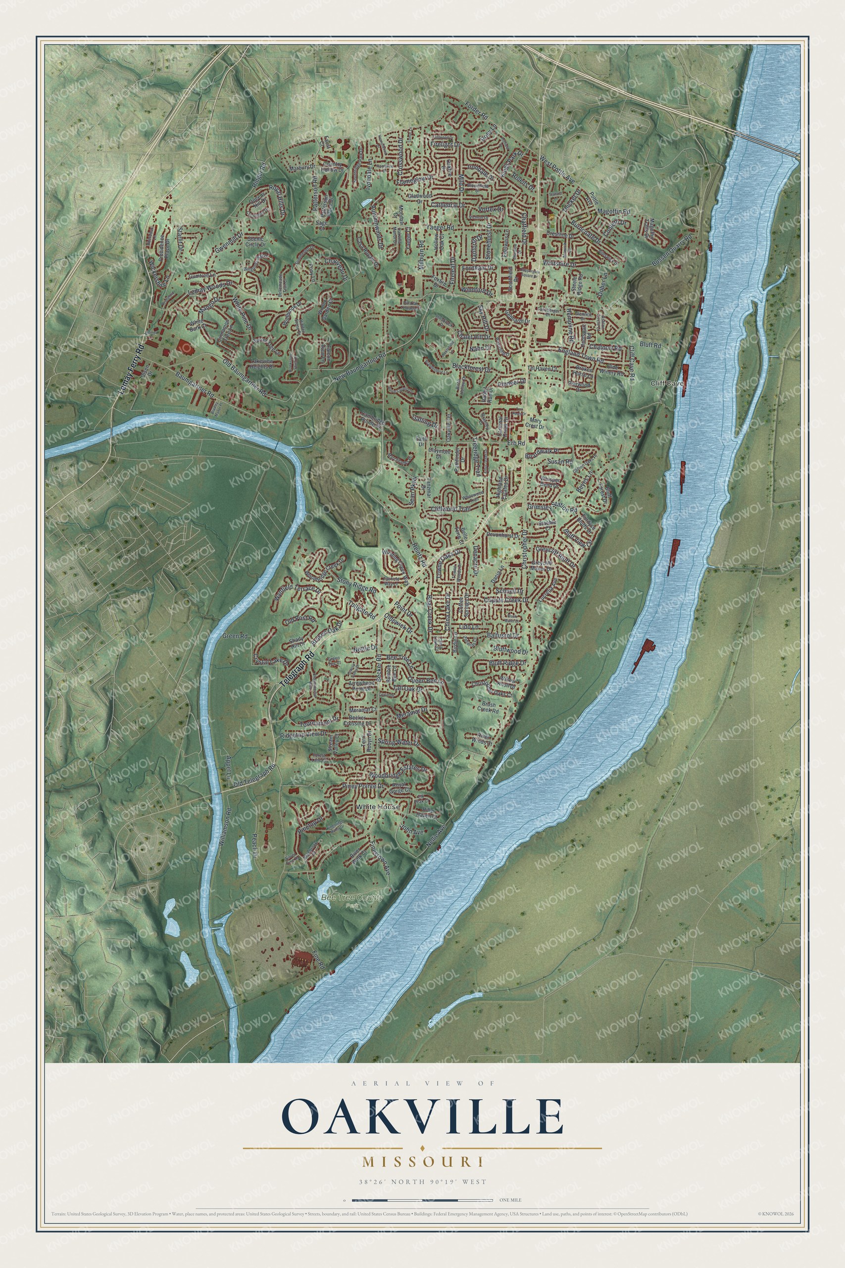
Oakville, Missouri Map Art
Building by building, with labeled streets and shaded relief.
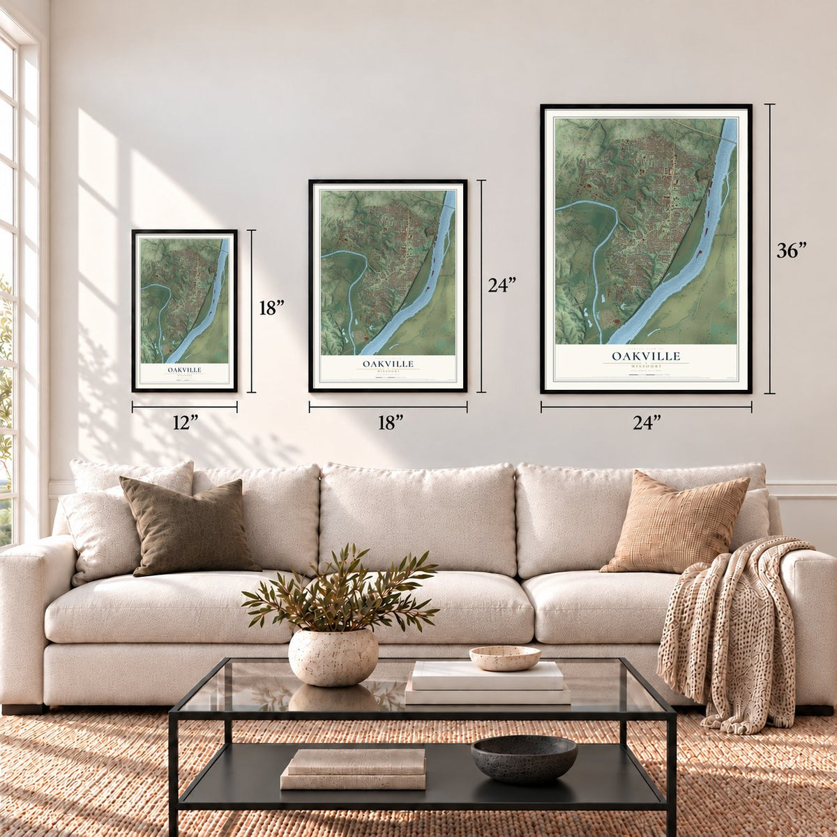
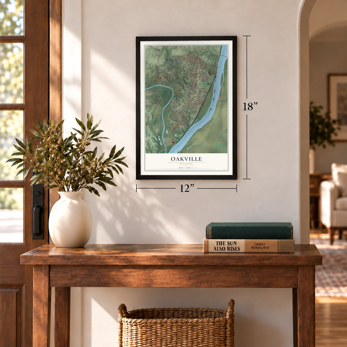
12" x 18" Archival Matte Print
A Map of Home. A Work of Art.
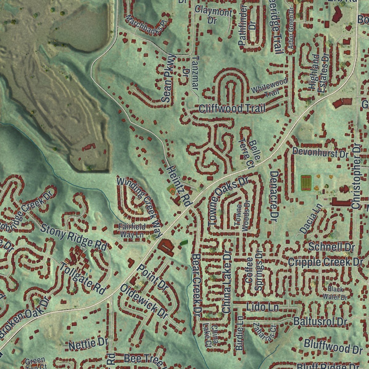
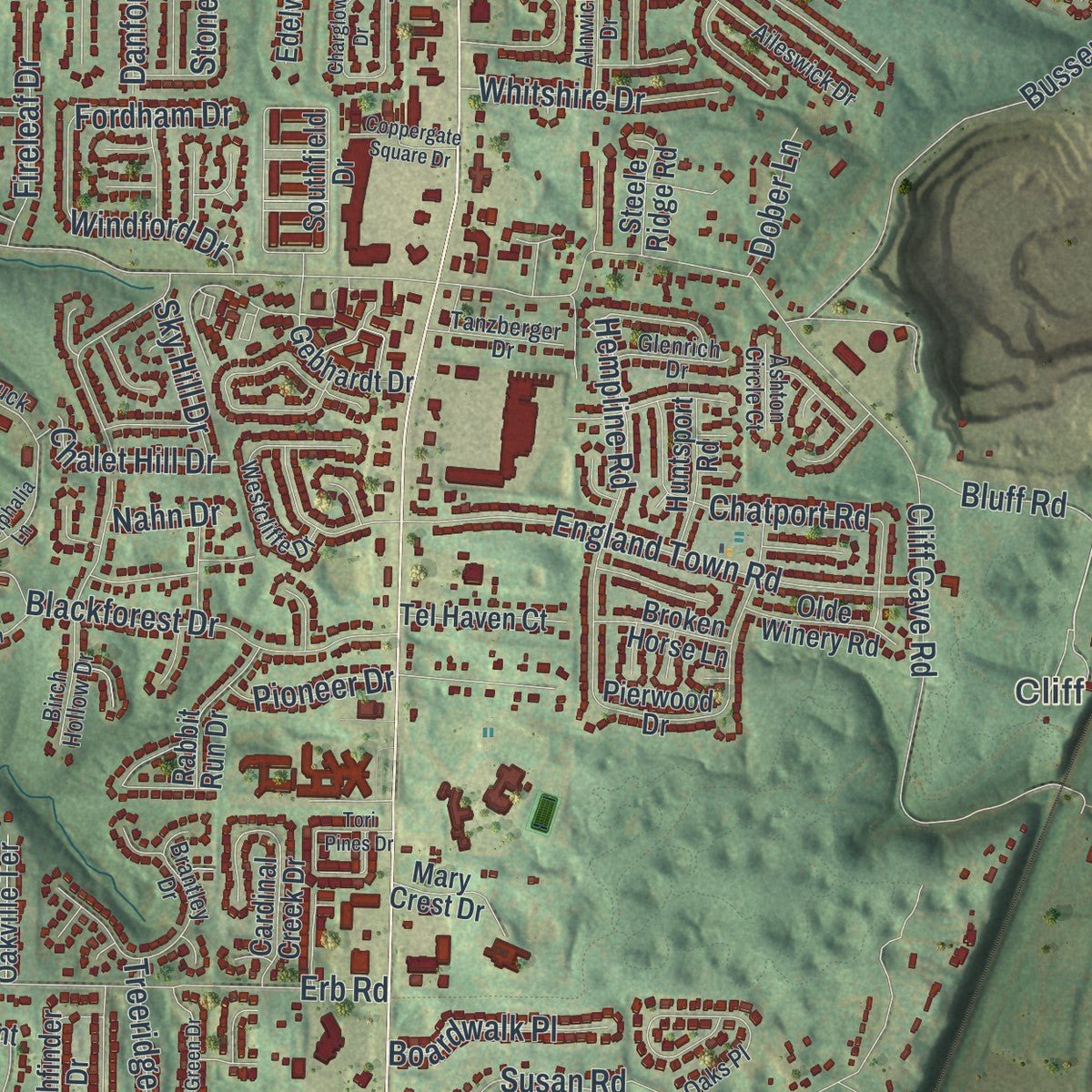
Explore Oakville, Missouri from a whole new perspective. Created using aerial imagery and detailed geographic data, this map captures Oakville building by building, with labeled streets, familiar landmarks, and shaded topographical relief that highlights the natural contours of the landscape.
Combining modern data with the timeless character of a vintage atlas, this map is just as interesting up close as it is beautiful on the wall. Whether you grew up in Oakville, spent memorable years there, or call it home today, this unique map is a great way to celebrate a place that means something to you. Zoom in on the preview to look for your street, and then order a print to put your memories on the wall.
Three ways to hang it
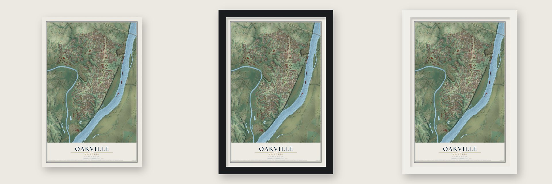
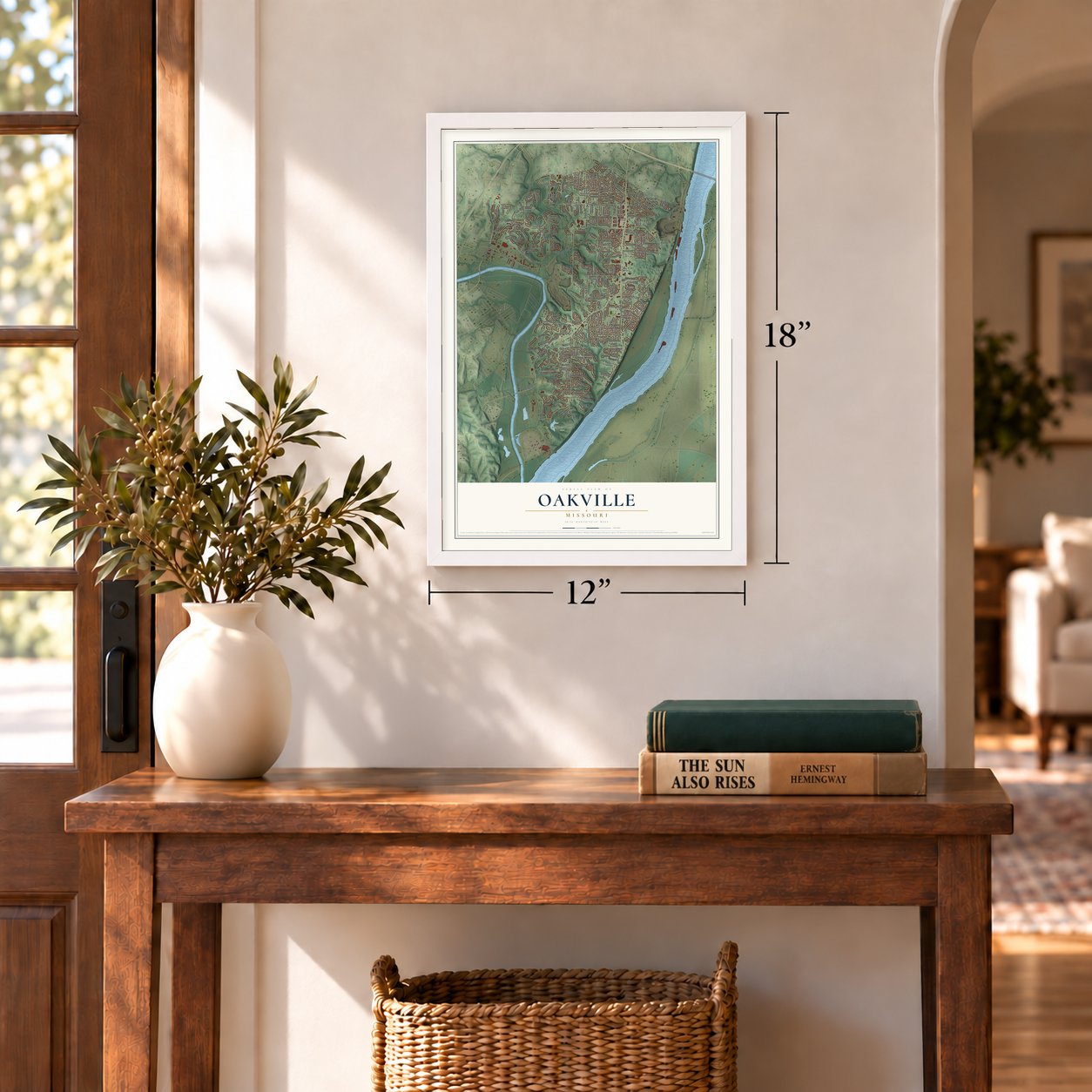
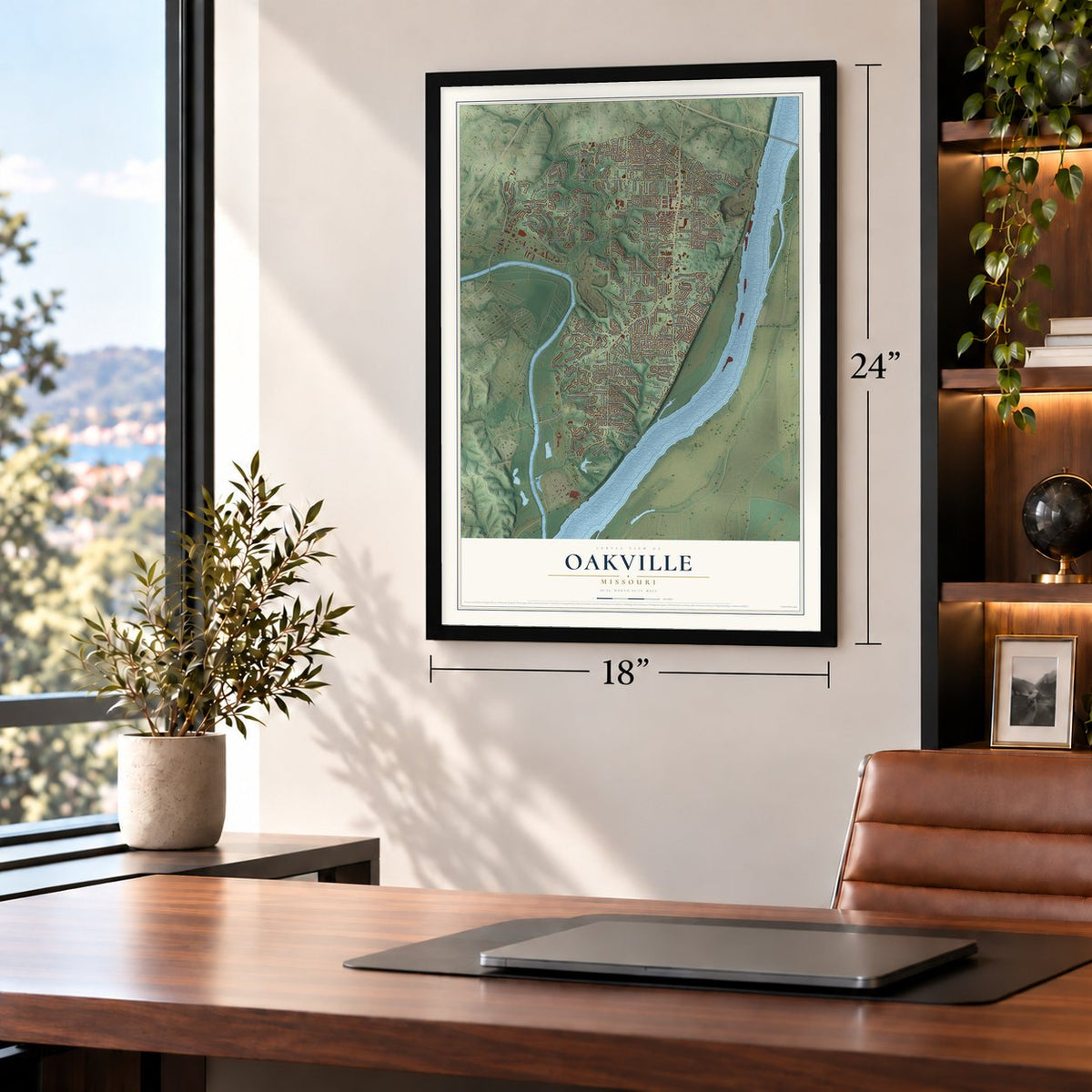
Unframed archival matte, a black wood frame or a white wood frame.
Up close
Geography Worth Displaying
This map was created using accurate cartographic data and authoritative geographic sources, including the U.S. Geological Survey and the Census Bureau. The map brings together terrain, waterways, roads, and building detail. The majority of the streets are labeled, houses are accurately depicted, and the topography is derived from government sources. Combining local data with carefully composed color and shading leads to this beautifully detailed Oakville artwork for your wall.
Rather than simply showing street outlines, we’ve included as many of the street names as we could reasonably fit on the map while keeping their names legible. Zoom in on the high resolution preview to see exactly what’s on the map. We truly set out to create a statement piece for anyone who loves Oakville. So whether it’s for you, or a gift for someone you love, we hope this map of Oakville brings back fond memories.
Read the story behind this map of Oakville, Missouri from 2026.
Find your street
Names on the Oakville map
Every name below is printed on this map. Look for your street, your school, the park where you played, or the pond down the road.
Places and landmarks3
- Cliff Cave
- Bee Tree County Park
- White House
Streets and roads234
- Telegraph Road
- Lemay Ferry Road
- Heintz Road
- Bluff Road
- China Lake Drive
- Bear Creek Drive
- Tall Oak Drive
- John Avenue
- Baumgartner Road
- Christopher Drive
- Yaeger Road
- Old Baumgartner Road
- Ringer Road
- New Baumgartner Road
- Becker Road
- Cliff Cave Road
- Fine Road
- Erb Road
- Milburn Road
- Susan Road
- England Town Road
- Cripple Creek Drive
- Blackforest Drive
- Cathedral Drive
- Stony Ridge Road
- Burncoate Drive
- Pinetop Drive
- Bussen Quarry Road
- Forder Road
- Greycliff Bluff Drive
Show all 234 streets
- Woodbridge Estates Drive
- Piney Pointe Drive
- Mild Drive
- Green Road
- Meramar Drive
- Treeridge Trail
- Lemay Woods Drive
- Towne Oaks Drive
- Kings Park Drive
- Patterson Road
- Flameglow Drive
- Tournament Drive
- Williamson Road
- Finestown Avenue
- Magoffin Road
- Tollgate Road
- Peach Drive
- Queen Bee Lane
- Hempline Road
- Firelight Drive
- Baltusrol Drive
- Grimsley Station Road
- Crystal Lake Drive
- Broken Oak Drive
- White Pine Drive
- Mango Drive
- Nellie Avenue
- Bee Tree Lane
- Bluff View Circle
- Pioneer Drive
- Bluff Ridge Drive
- Chatport Road
- Spring Water Drive
- Cliffwood Trail
- Old Telegraph Road
- Old Post Road
- Chatfield Drive
- Royal Hills Drive
- Wynfield Terrace Drive
- Irondale Drive
- Ridgetop View Drive
- Windford Drive
- Stonehurst Drive
- Autumnwinds Drive
- Thicket Drive
- Crosswood Drive
- Gatling Drive
- Whitshire Drive
- Ivondale Lane
- Sean Parkway
- Rosy Lane
- Fireleaf Drive
- Gwenmill Drive
- West Pottle Avenue
- Denacre Drive
- Boardwalk Place
- Oldewick Drive
- Wickershire Lane
- Bluffwood Drive
- Starlit Drive
- Point Drive
- Chalet Hill Drive
- Appel Lane
- Conleth Drive
- Vortex Drive
- Danforth Drive
- Chauveau Drive
- Lido Lane
- Rolens Drive
- Sky Hill Drive
- Fordham Drive
- Dober Lane
- Nettie Drive
- Schnell Drive
- Beyes Lane
- Nahn Drive
- Patterson Place Drive
- Gladwood Drive
- Southfield Drive
- Lucretia Avenue
- Stream Valley Court
- Crestline Drive
- Pathfinder Drive
- Pierwood Drive
- Woodbridge Creek Drive
- Cambridge Pointe Drive
- Devonhurst Drive
- Falcon View Lane
- Bluff Forest Drive
- Greycliff Manor Drive
- Country Hollow Drive
- Cardinal Creek Drive
- Providence Place Drive
- Christopher Oaks Court
- Cinnamon Tree Lane
- Dacia Lane
- Winding Creek Way
- Winter Garden Court
- Lakeview Heights Drive
- Gebhardt Drive
- Casa Royale Drive
- Highland Estates Drive
- Marbury Drive
- Yaeger Court
- Becker Crossing Drive
- Sorrel Tree Lane
- Tel Haven Court
- River Walk Court
- Rabbit Run Drive
- Pottle Avenue
- Whisper Bend Drive
- Wildbrook Drive
- Arrowhead Point Drive
- Foxfire Drive
- Olde Winery Road
- Huntsport Road
- Claymont Drive
- Meramar Court
- Terri Robyn Drive
- Mondavi Drive
- Brush Creek Road
- Tanzmar Drive
- Bumble Bee Lane
- Sage Court
- Oakville Terrace
- Royal Gorge Court
- Scenic Circle Drive
- Edelweis Lane
- Gumtree Lane
- Queens Hill Drive
- Magoffin Trails Drive
- Fordyce Bluffs Drive
- Birdie Lane
- White Bark Court
- Broken Horse Lane
- Mary Crest Drive
- Shady Hill Drive
- River Winds Court
- Coffee Springs Drive
- Hollow Oak Court
- Hilly Haven Court
- Steele Ridge Road
- Willow Knoll Drive
- Belle Terre Court
- Staehle Court
- Olsen Drive
- Pony Lane
- Oakfire Drive
- Faust Court
- Faith Drive
- Towne Woods Drive
- Clifton Oaks Place
- Summerlyn Drive
- Westcliffe Drive
- Aileswick Drive
- Southridge Park Drive
- Birch Hollow Drive
- Innsbruck Drive
- Victron Drive
- Bloomfield Drive
- Marchbanks Place
- Tanzberger Drive
- Burgundy Way Drive
- Brantley Drive
- Alnwick Drive
- Sagebrook Court
- Crowndun Drive
- Bellemeade Trail Court
- Whitewood Trail
- China Lake Court
- Fairfield Way Lane
- Hidden Stone Drive
- Zaharias Court
- Glenrich Drive
- Aberdour Lane
- Pin Oak Terrace Court
- Forest Lane Court
- Elk Peak Court
- Oakvilla Manor Drive
- Green Tee Court
- Ashton Circle Court
- Silver Pine Drive
- Brookstone South Drive
- Kingsridge Manor Drive
- Championship Boulevard
- Black Water Drive
- Ashfield Drive
- Flametree Drive
- Flintwood Drive
- Westphalia Lane
- Brandenberg Lane
- Bradley Manor Place
- Arbor Green Drive
- Charglow Drive
- Royal Country Drive
- Tori Pines Drive
- Grassy Valley Drive
- Coram Drive
- Coppergate Square Drive
- Kennelwood Drive
- Bridleford Lane
- Lomar Lane
- Stallard Lane
- Jedmed Court
Names are listed as they appear on the printed map. Zoom into the product photos to find them.
About Oakville, Missouri
Classified as an unincorporated community and a census-designated place, Oakville is in southern St. Louis County. It sits 18 miles south of St. Louis and borders both the Mississippi and Meramec rivers. The community is part of the region commonly called South County.
- Population in 2020The 2020 census counted 36,301 residents in Oakville.
- Historic Post OfficeOakville's post office served southeastern Carondelet Township from 1886 through 1904.
- Local School DistrictsOakville is wholly within the Mehlville School District R-9 and the St. Louis County Special School District.
- Cliff Cave BranchThe St. Louis County Library operates its Cliff Cave Branch within the Oakville census-designated place.
Keep exploring Missouri
Oakville is one of 1,207 Missouri towns we've mapped. Every dot on the map is a print of its own.
The search covers every state, Missouri first.
Near Oakville
Order 2 or more town maps and save 10%. Shown in the size and finish you picked above, so they hang as a set.
- Arnold 12" x 18" / Archival Matte Print $39.99
- Mehlville 12" x 18" / Archival Matte Print $39.99
- Concord 12" x 18" / Archival Matte Print $39.99
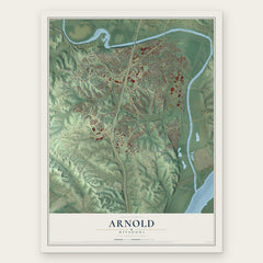
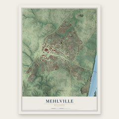
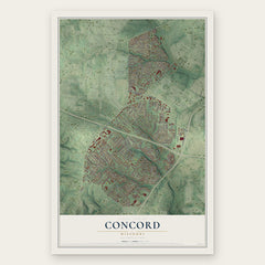
More maps nearby: Green Park, Sappington, Lemay, St. George and Kimmswick.
The art of mapping a place
How This Map Was Made
Real places. Remarkable detail. Discover the layers that turn geographic data into a map of home.

The view from above
Aerial imagery reveals the character of the land: woodland, open fields, and the patterns of a place.

The shape of the land
Elevation data brings hills, valleys, and subtle changes in the landscape into view.

The details of home
Roads, waterways, and building footprints come together to make the map feel unmistakably local.

Geography becomes art
Considered color, shading, and typography bring the layers together in a map made for your wall.


Process illustrated with Mendon, Massachusetts. Aerial imagery: USDA NAIP. Terrain: USGS 3D Elevation Program. Map details and finished artwork: KNOWOL.
The Details
About This Print
Choose an archival matte print, or a black or white Ayous wood frame. The archival matte print is unframed.
Select your size and finish above to see the matching product image and price.
Materials & Craftsmanship
A contemporary map with the character of a classic atlas, printed on archival matte paper. Optional frames are made from Ayous wood.
Your printed map does not include the watermark shown in the full-map preview.
Shipping & Delivery
Free shipping within the United States. Every print is made to order in the USA.
Buying a gift? Add a note in your cart and we'll include it. We never put prices in the package.
Prints ship within 2 to 3 business days. Allow 7 to 10 days total from ordering for delivery. Timing may vary during holidays or periods of high order volume.
Read our shipping policy.
Returns and damaged prints
Each print is made to order. Change-of-mind refunds are not available after production.
If your print arrives damaged, misprinted or incorrect, contact support@knowol.com within 30 days of receiving it. Include your order number, photos and a description of the issue.
Read our full refund and replacement policy. For questions about your order, email support@knowol.com.