


Search for another town





Free U.S. delivery 7 to 10 days after you order
Castro Valley, California Map Art
Building by building, with labeled streets and shaded relief.
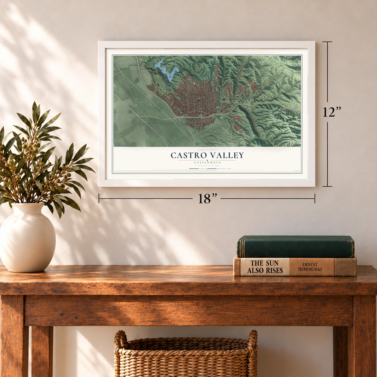
12" x 18" Archival Matte Print
A Map of Home. A Work of Art.
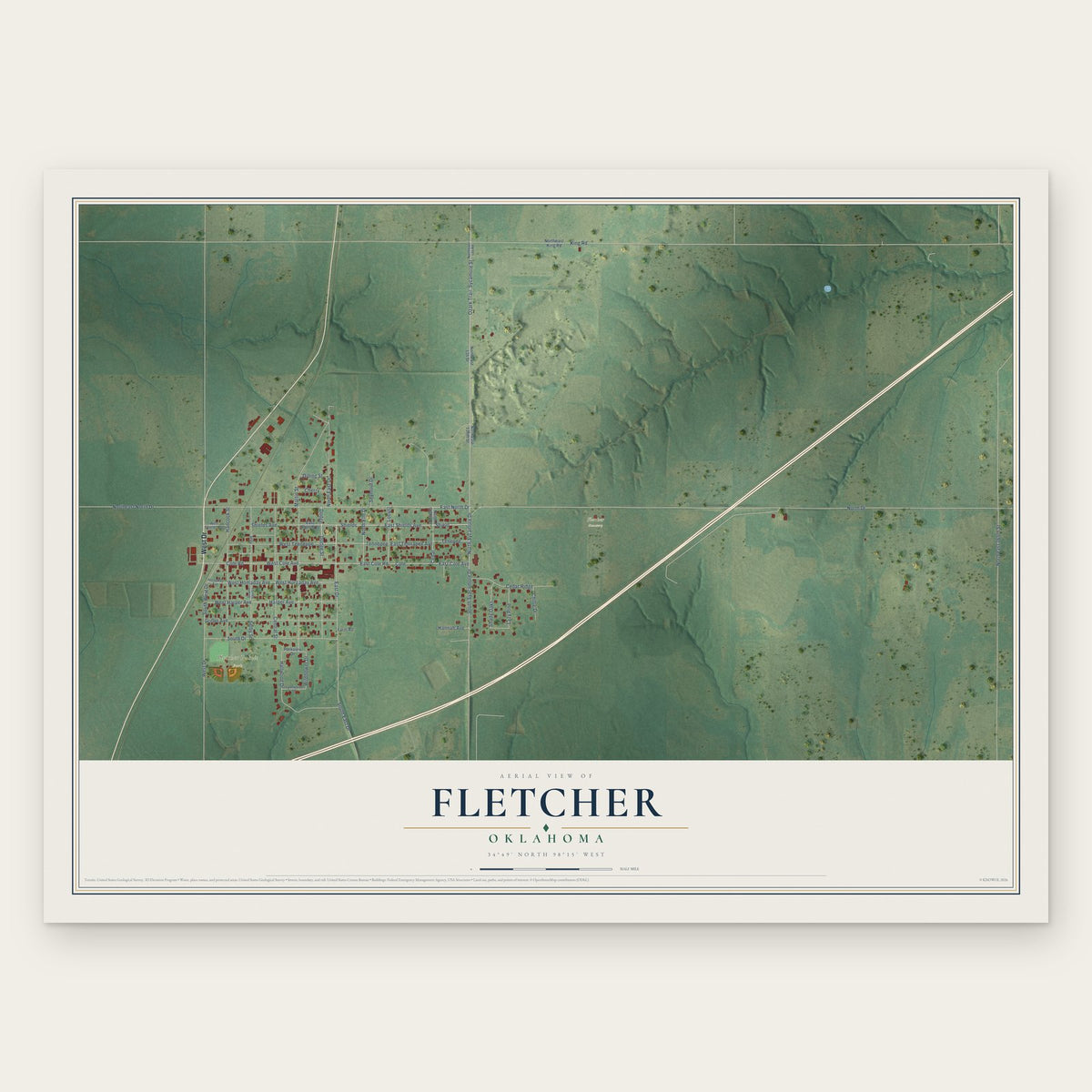
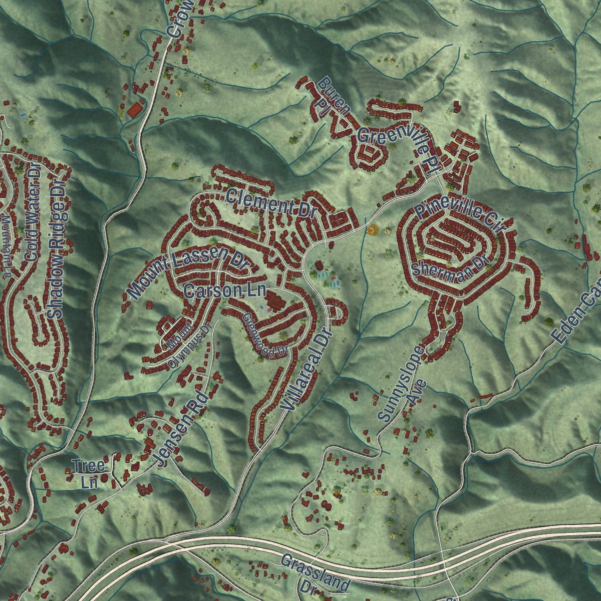
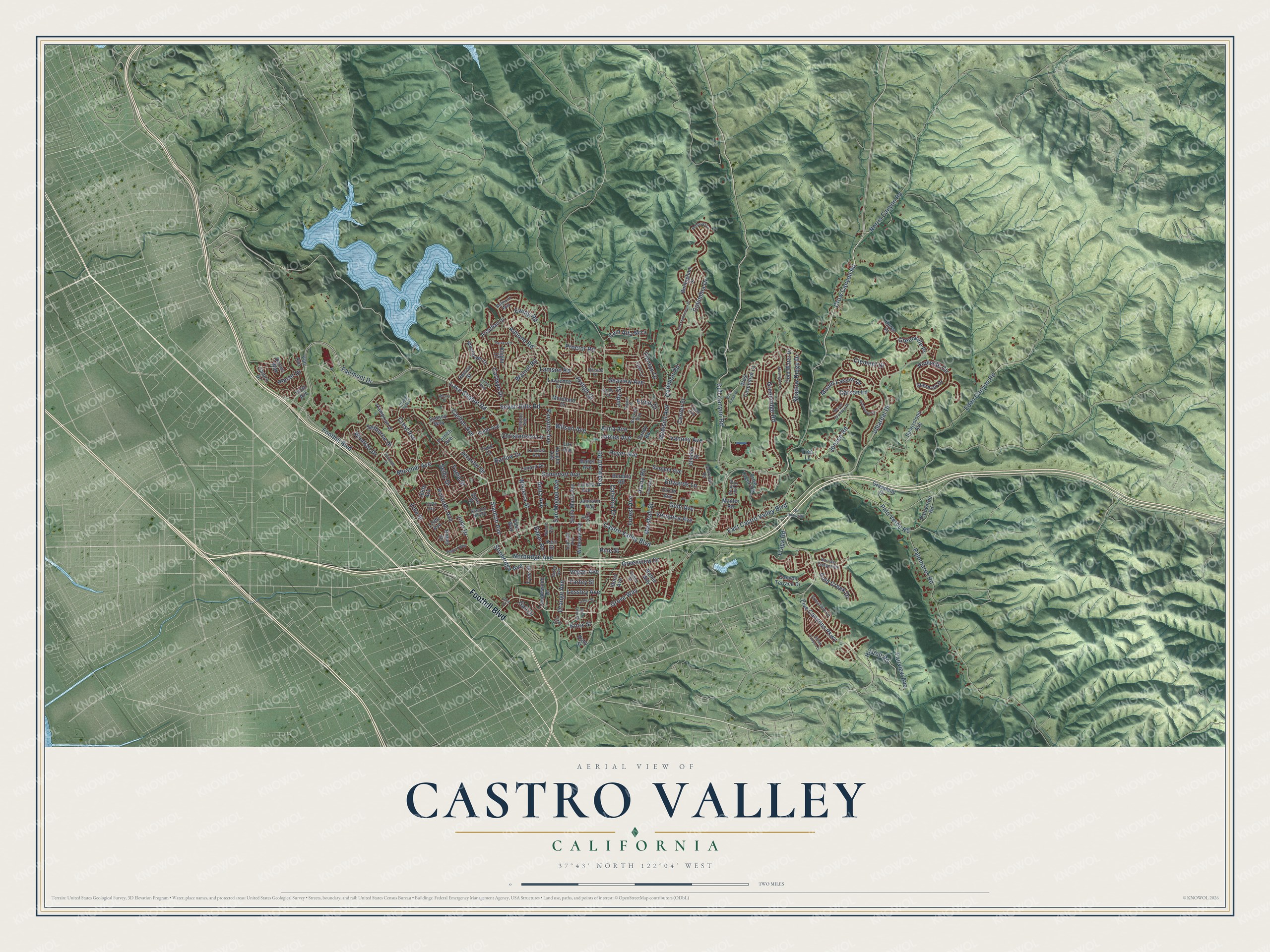
Explore Castro Valley, California from a whole new perspective. Created using aerial imagery and detailed geographic data, this map captures Castro Valley building by building, with labeled streets, familiar landmarks, and shaded topographical relief that highlights the natural contours of the landscape.
Combining modern data with the timeless character of a vintage atlas, this map is just as interesting up close as it is beautiful on the wall. Whether you grew up in Castro Valley, spent memorable years there, or call it home today, this unique map is a great way to celebrate a place that means something to you. Zoom in on the preview to look for your street, and then order a print to put your memories on the wall.
Three ways to hang it
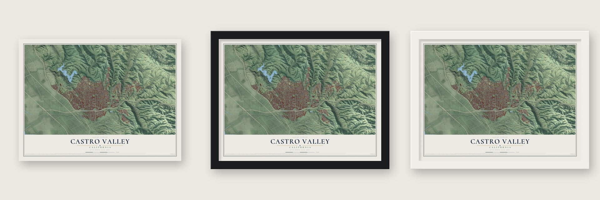
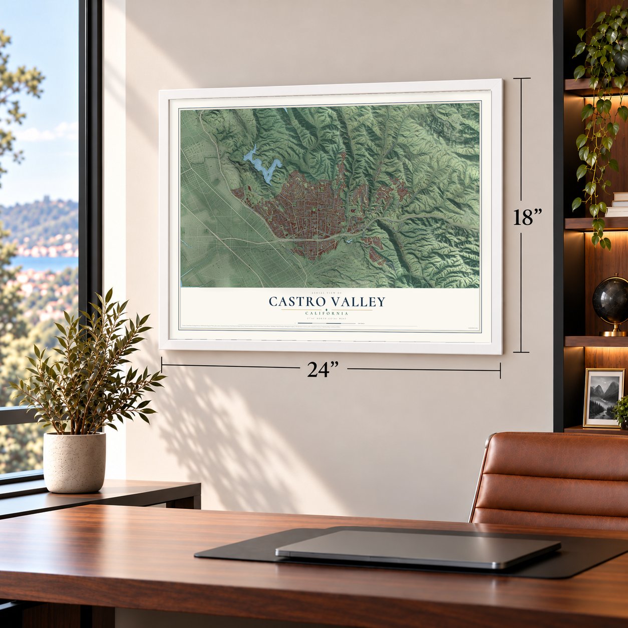
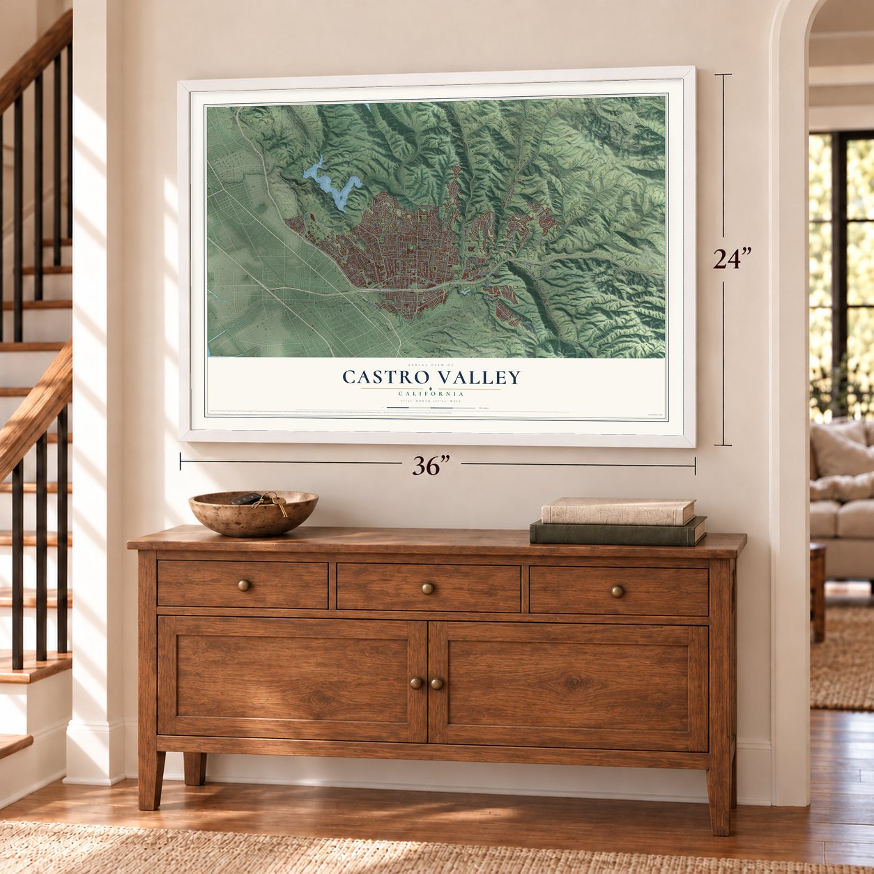
Unframed archival matte, a black wood frame or a white wood frame.
Up close
Geography Worth Displaying
This map was created using accurate cartographic data and authoritative geographic sources, including the U.S. Geological Survey and the Census Bureau. The map brings together terrain, waterways, roads, and building detail. The majority of the streets are labeled, houses are accurately depicted, and the topography is derived from government sources. Combining local data with carefully composed color and shading leads to this beautifully detailed Castro Valley artwork for your wall.
Rather than simply showing street outlines, we’ve included as many of the street names as we could reasonably fit on the map while keeping their names legible. Zoom in on the high resolution preview to see exactly what’s on the map. We truly set out to create a statement piece for anyone who loves Castro Valley. So whether it’s for you, or a gift for someone you love, we hope this map of Castro Valley brings back fond memories.
Read the story behind this map of Castro Valley, California from 2026.

Find your street
Names on the Castro Valley map
Every name below is printed on this map. Look for your street, your school, the park where you played, or the pond down the road.
Streets and roads177
- Foothill Boulevard
- Lake Chabot Road
- Castro Valley Boulevard
- Redwood Road
- Fairmont Drive
- East Castro Valley Boulevard
- Stanton Avenue
- Norbridge Avenue
- Orange Avenue
- Crow Canyon Road
- Crest Avenue
- Miramar Avenue
- Grove Way
- Greenview Drive
- Yuma Street
- Five Canyons Parkway
- Columbia Drive
- Seven Hills Road
- Villareal Drive
- Center Street
- Somerset Avenue
- Eden Canyon Road
- Palomares Road
- Cull Canyon Road
- Greenridge Road
- Jensen Road
- Almond Road
- Proctor Road
- San Miguel Avenue
- Heyer Avenue
Show all 177 streets
- Madison Avenue
- Strobridge Avenue
- Carlton Avenue
- Pineville Circle
- James Avenue
- Palo Verde Road
- Lamson Road
- John Drive
- Rolando Avenue
- Seaview Avenue
- Fraga Road
- Walnut Road
- Forest Avenue
- Shadow Ridge Drive
- Ehle Street
- Parsons Avenue
- Edwards Lane
- Joseph Drive
- Clement Drive
- Ewing Road
- Vegas Avenue
- Norris Canyon Road
- Fairview Avenue
- Placer Drive
- Wisteria Street
- Hilltop Road
- Wilson Avenue
- Lessley Avenue
- Greenville Place
- Mount Lassen Drive
- Anita Avenue
- Gem Avenue
- Carlwyn Drive
- Gold Creek Drive
- Christensen Lane
- Marshall Street
- Alma Avenue
- Cam Alta Mira
- Veronica Avenue
- Gail Drive
- Vannoy Avenue
- Jennifer Drive
- Barlow Drive
- Alana Road
- Selby Drive
- Windsor Drive
- Selborne Drive
- Knox Street
- Common Road
- Trenton Drive
- Carson Lane
- Catalina Drive
- Elrod Drive
- Baker Road
- Judy Street
- Farley Street
- Pine Street
- Sunnyslope Avenue
- Santa Maria Avenue
- Cold Water Drive
- Paloverde Road
- West Cavendish Drive
- Arcadian Drive
- Sydney Way
- Saturn Drive
- Sandy Road
- Mabel Avenue
- Vaughn Avenue
- Canyon Terrace Drive
- Sherman Drive
- Robey Drive
- Gliddon Street
- Crow Creek Road
- Buren Place
- Lawrence Drive
- Cambrian Drive
- Bellingham Drive
- Mayflower Drive
- Sargent Avenue
- Kerr Street
- Van Avenue
- Wilbeam Avenue
- 150th Avenue
- Betlen Way
- 166th Avenue
- Berdina Road
- Tanglewood Drive
- Knight Drive
- Grassland Drive
- Idena Avenue
- Moreland Drive
- Lorena Avenue
- Jamison Way
- Keith Avenue
- Perrich Avenue
- Lenard Drive
- 170th Avenue
- Park Way
- Circle Avenue
- Remco Street
- Todd Court
- Lux Avenue
- Tyee Street
- Darius Way
- Zeno Street
- Manter Road
- Ruby Street
- Tree Lane
- Boulder Canyon Drive
- Crestfield Circle
- Crane Avenue
- Brickell Way
- 167th Avenue
- Queen Street
- Nunes Avenue
- Beacon Hill Drive
- Rizzo Avenue
- Schuster Avenue
- Stanton Hill Road
- Belmont Way
- Ashfield Avenue
- Tyler Lane
- La Costa Avenue
- Patio Drive
- Parkview Road
- Hillside Drive
- Emily Court
- Earl Drive
- Glenwood Drive
- Briar Ridge Drive
- Mount Olympus Drive
- Old Dublin Road
- Saratoga Street
- San Franciscan Drive
- North Fifth Street
- Bellhurst Lane
- Parker Road
- Stone Canyon Drive
- Mountain Lane
- Clifton Way
- Regent Way
- Pepper Street
- Fern Way
- Gary Drive
- Chabot View Drive
- Jeffer Street
- Alexis Place
Names are listed as they appear on the printed map. Zoom into the product photos to find them.
About Castro Valley, California
Castro Valley is a community of 66,441 people in Alameda County. Chocheño Ohlone people lived here before the Spanish founded Mission San Jose in 1797. In 1840 the valley became part of Rancho San Lorenzo, a 28,000 acre land grant to Guillermo Castro, a Mexican army soldier and rancher. His grant also took in the land where Hayward and San Lorenzo now stand.
Castro gambled, and he sold off pieces of the ranch to cover his debts. In 1864 the last of it went to Faxon Atherton for $400,000 at a sheriff's sale. Atherton then sold the land in smaller pieces. Two men named Cull and Luce bought about 2,400 acres and ran a steam sawmill in Redwood Canyon, and the Jensen brothers bought land in 1867. Portuguese families settled the canyons to farm. The valley was known for chicken ranches in the 1940s and 1950s, and later it grew into a commuter suburb.
- The first public school, 1866Josiah Grover Brickell gave a one-room schoolhouse in 1866, on the condition that it serve only for education, and he paid the first teacher. The teacher taught children by day and farmhands at night. The school burned in 1901 and again in 1920, and a new one went up on other land. A plaque marks the first site, now a California Historical Landmark.
- Lake Chabot in the 1870sChinese workers who lived at Camp Yema-Po built Lake Chabot in the 1870s. The reservoir sits in the northwest part of Castro Valley and is now a popular park.
- Twice it said no to cityhoodVoters turned down plans to make Castro Valley a city in 1956 and again in 2002. The county still governs it directly, and a seven-member Municipal Advisory Council speaks for local concerns to the Alameda County Board of Supervisors.
- An adobe from 1936Workers on a Works Progress Administration project built the Adobe building in 1936. Today the Hayward Area Recreation and Park District runs the Adobe Art Gallery there.
Keep exploring California
Castro Valley is one of 1,990 California towns we've mapped. Every dot on the map is a print of its own.
The search covers every state, California first.
Near Castro Valley
Order 2 or more town maps and save 10%. Shown in the size and finish you picked above, so they hang as a set.
- Fairview 12" x 18" / Archival Matte Print $39.99
- Cherryland 12" x 18" / Archival Matte Print $39.99
- Ashland 12" x 18" / Archival Matte Print $39.99


More maps nearby: San Lorenzo, Norris Canyon, San Leandro, Hayward and Mulford Gardens.
The art of mapping a place
How This Map Was Made
Real places. Remarkable detail. Discover the layers that turn geographic data into a map of home.

The view from above
Aerial imagery reveals the character of the land: woodland, open fields, and the patterns of a place.

The shape of the land
Elevation data brings hills, valleys, and subtle changes in the landscape into view.

The details of home
Roads, waterways, and building footprints come together to make the map feel unmistakably local.

Geography becomes art
Considered color, shading, and typography bring the layers together in a map made for your wall.


Process illustrated with Mendon, Massachusetts. Aerial imagery: USDA NAIP. Terrain: USGS 3D Elevation Program. Map details and finished artwork: KNOWOL.
The Details
About This Print
Choose an archival matte print, or a black or white Ayous wood frame. The archival matte print is unframed.
Select your size and finish above to see the matching product image and price.
Materials & Craftsmanship
A contemporary map with the character of a classic atlas, printed on archival matte paper. Optional frames are made from Ayous wood.
Your printed map does not include the watermark shown in the full-map preview.
Shipping & Delivery
Free shipping within the United States. Every print is made to order in the USA.
Buying a gift? Add a note in your cart and we'll include it. We never put prices in the package.
Prints ship within 2 to 3 business days. Allow 7 to 10 days total from ordering for delivery. Timing may vary during holidays or periods of high order volume.
Read our shipping policy.
Returns and damaged prints
Each print is made to order. Change-of-mind refunds are not available after production.
If your print arrives damaged, misprinted or incorrect, contact support@knowol.com within 30 days of receiving it. Include your order number, photos and a description of the issue.
Read our full refund and replacement policy. For questions about your order, email support@knowol.com.