
Search for another town





Free U.S. delivery 7 to 10 days after you order
Hayward, California Map Art
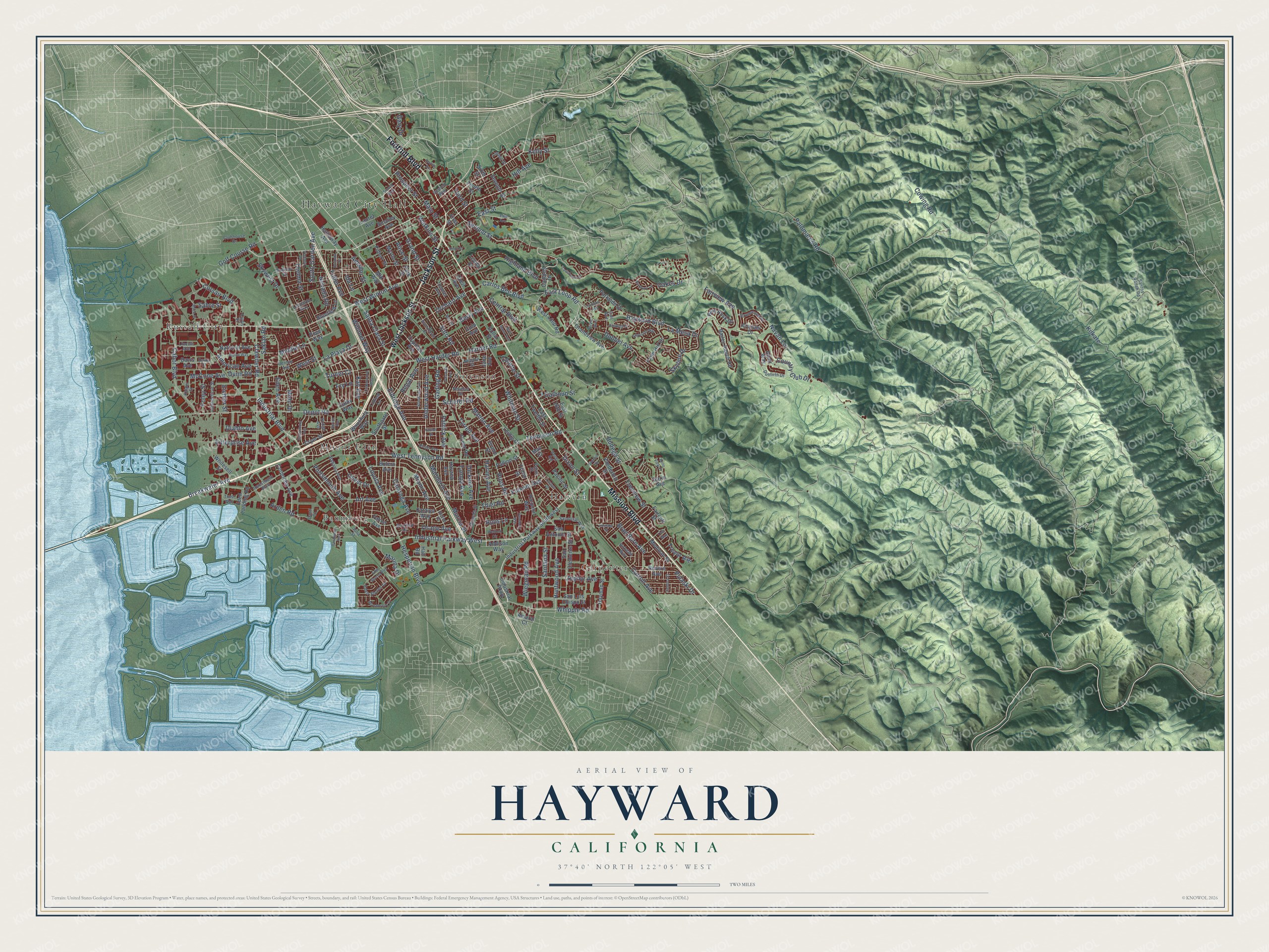
A new map of Hayward, California, made in 2026 and printed to order on thick archival matte paper.
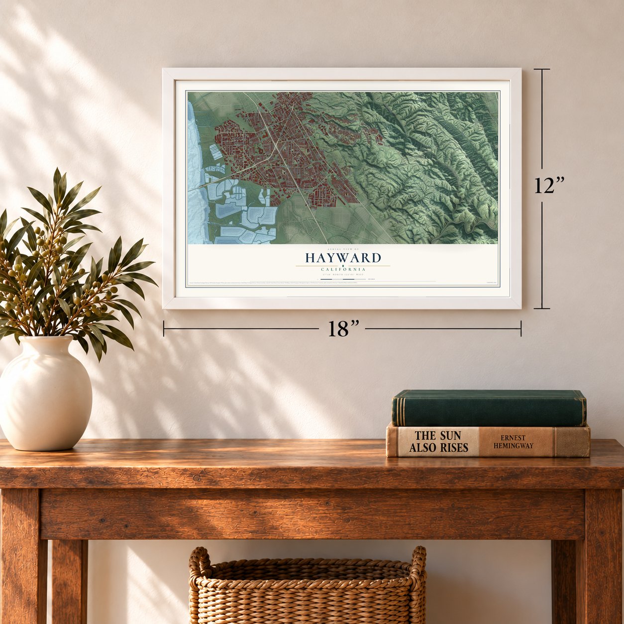
12" x 18" Archival Matte Print
A Map of Home. A Work of Art.
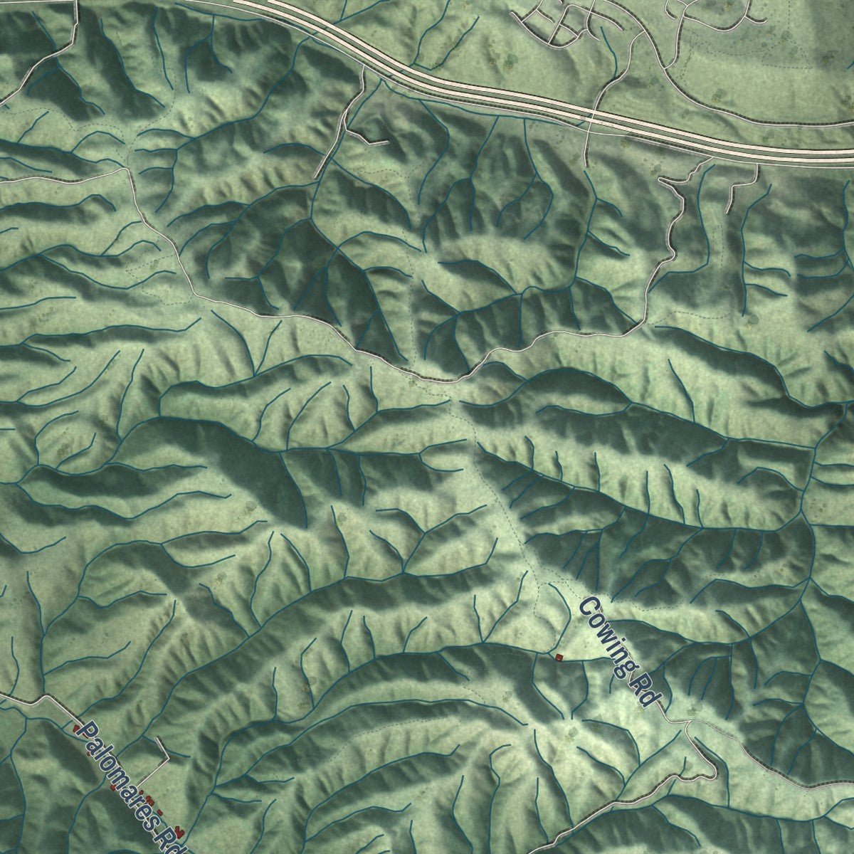
Explore Hayward, California from a whole new perspective. Created using aerial imagery and detailed geographic data, this map captures Hayward building by building, with labeled streets, familiar landmarks, and shaded topographical relief that highlights the natural contours of the landscape.
Combining modern data with the timeless character of a vintage atlas, this map is just as interesting up close as it is beautiful on the wall. Whether you grew up in Hayward, spent memorable years there, or call it home today, this unique map is a great way to celebrate a place that means something to you. Zoom in on the preview to look for your street, and then order a print to put your memories on the wall.
Three ways to hang it
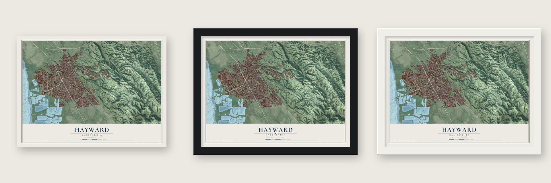
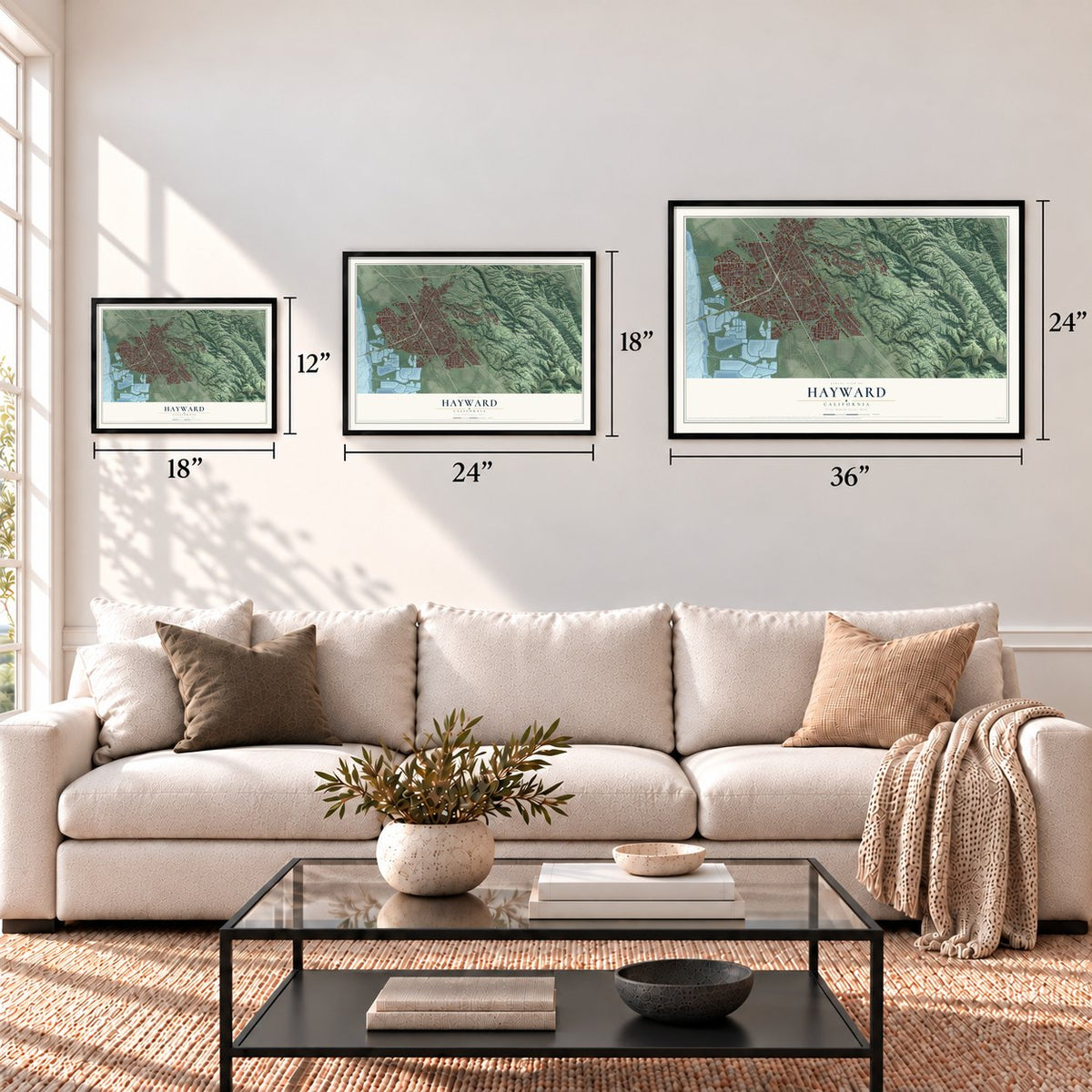
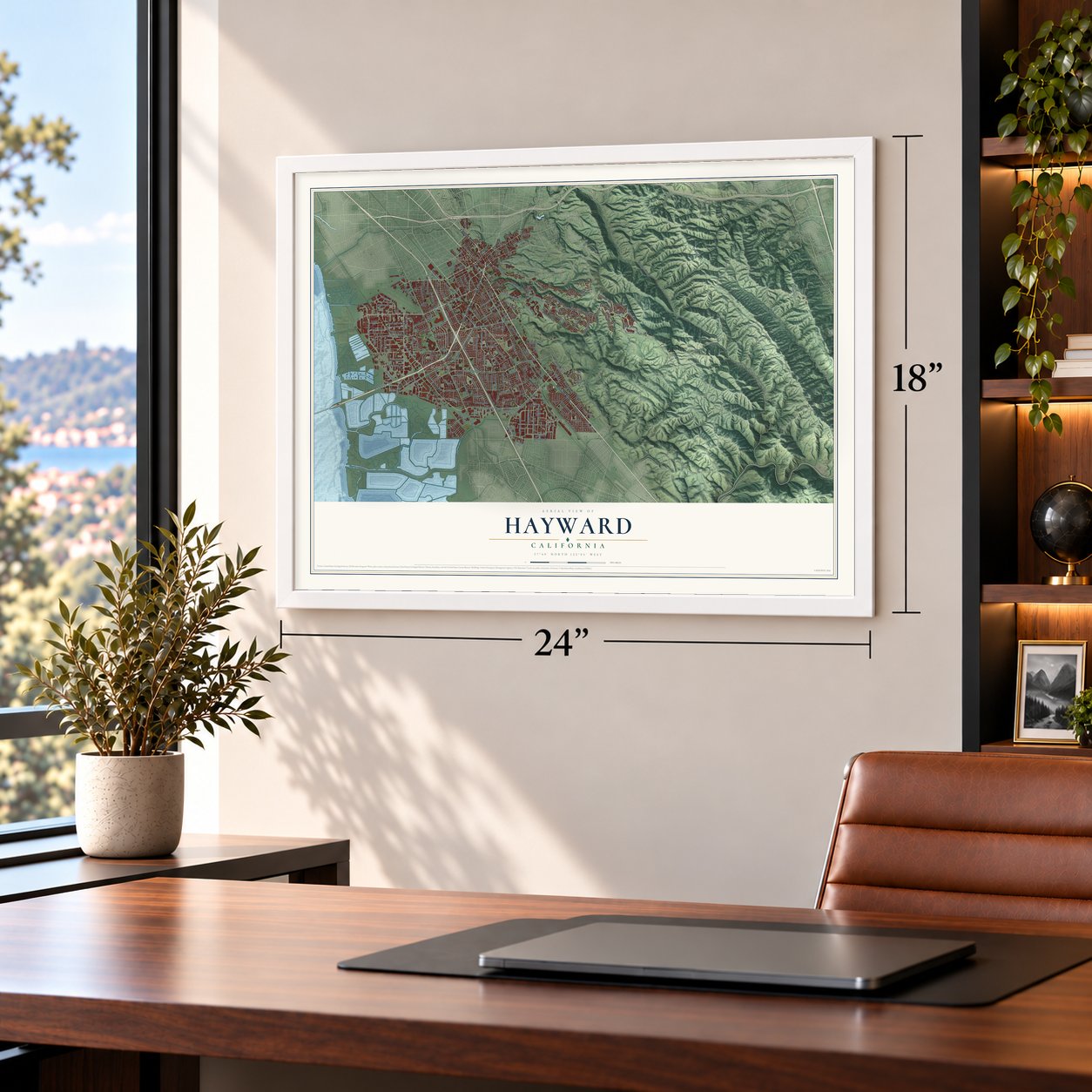
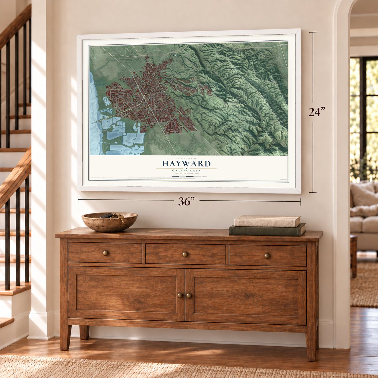
Unframed archival matte, a black wood frame or a white wood frame.
Up close
Geography Worth Displaying
This map was created using accurate cartographic data and authoritative geographic sources, including the U.S. Geological Survey and the Census Bureau. The map brings together terrain, waterways, roads, and building detail. The majority of the streets are labeled, houses are accurately depicted, and the topography is derived from government sources. Combining local data with carefully composed color and shading leads to this beautifully detailed Hayward artwork for your wall.
Rather than simply showing street outlines, we’ve included as many of the street names as we could reasonably fit on the map while keeping their names legible. Zoom in on the high resolution preview to see exactly what’s on the map. We truly set out to create a statement piece for anyone who loves Hayward. So whether it’s for you, or a gift for someone you love, we hope this map of Hayward brings back fond memories.
Read the story behind this map of Hayward, California from 2026.

About Hayward, California
Hayward is a city of 162,954 people in Alameda County, on the east side of San Francisco Bay. The Ohlone people lived here before Europeans arrived, and in 1841 the land became part of Rancho San Lorenzo, a Spanish grant to Guillermo Castro. Most historians trace the town's name to William Dutton Hayward, who opened a hotel here in 1852 and later served as an Alameda County supervisor and road commissioner.
The spelling of the name changed several times. The first post office opened in 1860 under the name Haywood, and when the state chartered the town in 1876 it became Haywards. The post office took up that spelling in 1880. In 1911 the town dropped the final s and became Hayward, although the federal board that rules on place names did not accept the change until 1931.
- The 1868 earthquakeGuillermo Castro's home stood on El Camino Viejo, now Mission Boulevard, between C and D Streets, right on top of the Hayward Fault. The 1868 earthquake badly damaged it and destroyed most of the town's buildings. It was the last major quake on the fault. In 1930 the city built its City Hall on Castro's old site, and it served until 1969.
- A curb that tracked the faultFor more than 40 years, geologists tracked the Hayward Fault with a street curb in Hayward. The curb had shifted 8 inches before the city removed it by accident in 2016.
- Tomato season since 1895Fruit packers William and Joseph Hunt, brothers from Sebastopol, opened a Hayward cannery in 1895. They began with local cherries, peaches and apricots, but tomatoes became the main product, and the town smelled of them three months a year. In the 1960s and 1970s Hunt's ran canneries on A, B and C Streets, plus a can company, pickle factory and glass plant. As farms vanished, the canneries closed in 1981. A Hayward-logo water tower marks the site.
- Salt ponds on the bayMuch of Hayward's bay shore was turned into salt evaporation ponds, run by companies such as Oliver Salt and Leslie Salt, and the area became one of the most productive in the world. A 1983 picture of the ponds appeared on a U.S. postage stamp in 2012, and much of that land has since gone back to salt marsh.
- A bridge in 1929The San Mateo-Hayward Bridge opened in 1929 and linked the city to the San Francisco Peninsula. During World War II, Hayward's many Japanese American residents were sent to internment camps, while new factories making war material drew workers who stayed after the war. Builders Oliver Rousseau and David D. Bohannon put up much of the tract housing that followed. California State University, Hayward opened in the hills in 1957, and a second bridge across the bay opened in 1967.
Find your street
Names on the Hayward map
Every name below is printed on this map. Look for your street, your school, the park where you played, or the pond down the road.
Places and landmarks7
- Hayward City Hall
- Baumberg
- Carpenter
- Halvern
- Mount Eden
- Russell City
- Sorenson
Streets and roads247
- Mission Boulevard
- Foothill Boulevard
- Jackson Street
- West Winton Avenue
- Hayward Boulevard
- Industrial Boulevard
- Industrial Parkway West
- Ruus Road
- Ruus Lane
- Clawiter Road
- Amador Street
- Skyline Drive
- Dobbel Avenue
- Mandarin Avenue
- Middle Lane
- Hesperian Boulevard
- Huntwood Avenue
- West Tennyson Road
- Calaroga Avenue
- Depot Road
- Harder Road
- Whipple Road
- Whitman Street
- Cabot Boulevard
- Second Street
- Santa Clara Street
- La Playa Drive
- Underwood Avenue
- Eldridge Avenue
- Soto Road
Show all 247 streets
- West Harder Road
- Oakes Drive
- Fairview Avenue
- Gading Road
- Tennyson Road
- Carlos Bee Boulevard
- Dixon Street
- Orchard Avenue
- Arden Road
- Highland Boulevard
- Tampa Avenue
- East Loop Road
- Folsom Avenue
- Manon Avenue
- Palomares Road
- Country Club Drive
- Patrick Avenue
- Corsair Boulevard
- Carroll Avenue
- Zephyr Avenue
- Breakwater Avenue
- Main Street
- Schafer Road
- Eden Avenue
- Willimet Way
- Berry Avenue
- East Street
- Kay Avenue
- Golf Course Road
- Wiegman Road
- Turner Court
- Portsmouth Avenue
- Miami Avenue
- South Garden Avenue
- West Street
- Tyrrell Avenue
- Enterprise Avenue
- Grand Street
- Alice Street
- Central Boulevard
- Skywest Drive
- Kelly Street
- Brae Burn Avenue
- Sabre Street
- Nevada Road
- Saklan Road
- Arf Avenue
- Fuller Avenue
- Kilkare
- American Avenue
- Watkins Street
- Mohr Drive
- Navan Lane
- Cowing Road
- Regal Avenue
- Dickens Avenue
- La Mesa Drive
- Santana Street
- Marina Drive
- Harvey Avenue
- Calhoun Street
- Foley Street
- McCone Avenue
- Thelma Street
- Trevor Avenue
- Bodega Street
- Oliver Drive
- Murcia Street
- Prospect Street
- Osage Avenue
- Treeview Street
- Loyola Avenue
- Pulaski Drive
- Diablo Avenue
- Gary Drive
- Thiel Road
- Dunn Road
- Eichler Street
- Colette Street
- Third Street
- Hill Avenue
- Fry Lane
- Ida Lane
- West Jackson Street
- Industrial Parkway Southwest
- Mlk Way
- Campus Drive
- Eden Landing Road
- Corporate Avenue
- San Antonio Street
- Vanderbilt Street
- San Clemente Street
- Cypress Avenue
- Parkside Drive
- Industrial Parkway
- Garin Avenue
- Farm Hill Drive
- Hayman Street
- Bailey Ranch Road
- Myrtle Street
- Whitesell Street
- Pacific Street
- Catalpa Way
- West Loop Road
- Jane Avenue
- San Luis Obispo Street
- National Avenue
- East Twelfth Street
- Smalley Avenue
- Grandview Avenue
- Revere Avenue
- Hathaway Avenue
- Havana Avenue
- Bolero Avenue
- Cryer Street
- Park Street
- Harpoon Way
- Fourth Street
- Oneil Avenue
- Sixth Street
- Addison Way
- Arundel Drive
- Barn Rock Drive
- Seventh Street
- Bluefield Lane
- Medinah Street
- Creek Road
- Filbert Street
- Wauchula Way
- Culp Avenue
- Laurel Avenue
- Southgate Street
- East 16th Street
- Faircliff Street
- Dollar Street
- Tahoe Avenue
- Panjon Street
- Adair Way
- Leidig Court
- Triton Street
- Davis Avenue
- Hall Road
- Amaral Court
- Bruno Street
- First Street
- Cathy Way
- Leona Drive
- Pope Way
- May Court
- Clubhouse Drive
- Santos Ranch Road
- Bahama Avenue
- Eden Shores Drive
- Dunfirth Drive
- Thomas Avenue
- Investment Boulevard
- Sandoval Way
- Drummond Drive
- Connecticut Street
- Denton Avenue
- Miranda Street
- Victory Drive
- Hesse Drive
- Russell Way
- Sueirro Street
- Linden Street
- Newton Street
- Dodge Avenue
- Kidder Street
- Birkdale Way
- Linfield Lane
- Venus Street
- Lincoln Avenue
- Newhall Street
- Leonardo Way
- Call Avenue
- Julia Street
- Bourbon Drive
- Trust Way
- Verdi Road
- Davis Court
- Curtis Street
- Civic Avenue
- Danti Court
- Sunset Boulevard
- East Avenue
- Baumberg Avenue
- Stanwood Avenue
- Overhill Drive
- Marshbrook Drive
- Eden Shores Boulevard
- Rieger Avenue
- Alpine Way
- Muir Street
- Welford Circle
- Gettysburg Avenue
- Gomer Street
- Mack Street
- Fletcher Lane
- Bello View Place
- Edgecliff Way
- Tribune Avenue
- Lassen Street
- Carisbrook Court
- Silverthorne Place
- Lindenwood Way
- Fielding Drive
- Coleman Avenue
- Seneca Street
- Roxbury Lane
- Bryn Mawr Avenue
- Hoylake Street
- Adrian Avenue
- Sandburg Way
- Sevilla Road
- Sonoma Street
- Tina Way
Names are listed as they appear on the printed map. Zoom into the product photos to find them.
The art of mapping a place
How This Map Was Made
Real places. Remarkable detail. Discover the layers that turn geographic data into a map of home.

The view from above
Aerial imagery reveals the character of the land: woodland, open fields, and the patterns of a place.

The shape of the land
Elevation data brings hills, valleys, and subtle changes in the landscape into view.

The details of home
Roads, waterways, and building footprints come together to make the map feel unmistakably local.

Geography becomes art
Considered color, shading, and typography bring the layers together in a map made for your wall.


Process illustrated with Mendon, Massachusetts. Aerial imagery: USDA NAIP. Terrain: USGS 3D Elevation Program. Map details and finished artwork: KNOWOL.
The Details
About This Print
Choose an archival matte print, or a black or white Ayous wood frame. The archival matte print is unframed.
Select your size and finish above to see the matching product image and price.
Materials & Craftsmanship
A contemporary map with the character of a classic atlas, printed on archival matte paper. Optional frames are made from Ayous wood.
Your printed map does not include the watermark shown in the full-map preview.
Shipping & Delivery
Free shipping within the United States. Every print is made to order in the USA.
Buying a gift? Add a note in your cart and we'll include it. We never put prices in the package.
Prints ship within 2 to 3 business days. Allow 7 to 10 days total from ordering for delivery. Timing may vary during holidays or periods of high order volume.
Read our shipping policy.
Returns and damaged prints
Each print is made to order. Change-of-mind refunds are not available after production.
If your print arrives damaged, misprinted or incorrect, contact support@knowol.com within 30 days of receiving it. Include your order number, photos and a description of the issue.
Read our full refund and replacement policy. For questions about your order, email support@knowol.com.
Find your town
Looking for another city?
Find a map of home in our California collection, or any town in the country.
Nearby
Maps of towns near Hayward
Know someone from one of these towns? Their map makes a great gift.
 Cherryland
, California
From $39.99See the map
 San Lorenzo
, California
From $39.99See the map
 Ashland
, California
From $39.99See the map
More maps nearby: Fairview, Union City, Castro Valley, San Leandro and Foster City.