
Search for another town





Free U.S. delivery 7 to 10 days after you order
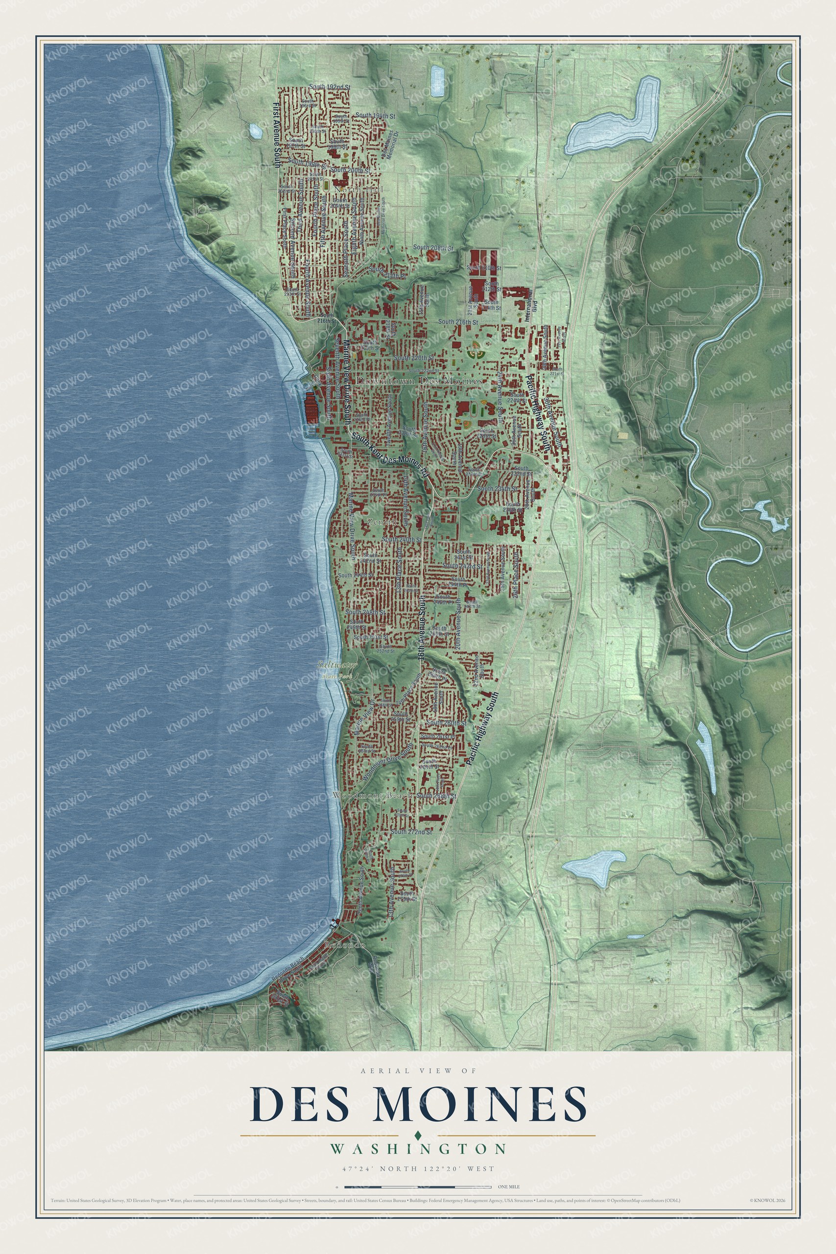
Des Moines, Washington Map Art
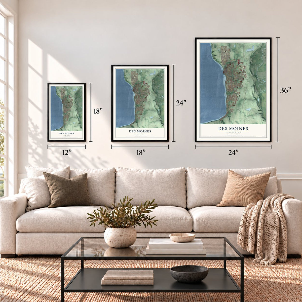
A new map of Des Moines, Washington, made in 2026 and printed to order on thick archival matte paper.
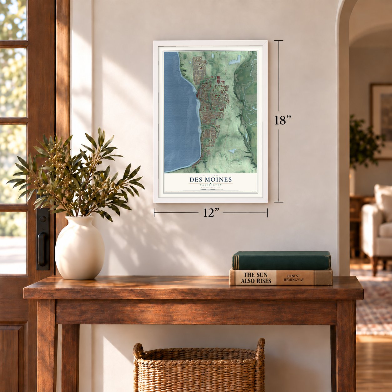
12" x 18" Archival Matte Print
A Map of Home. A Work of Art.
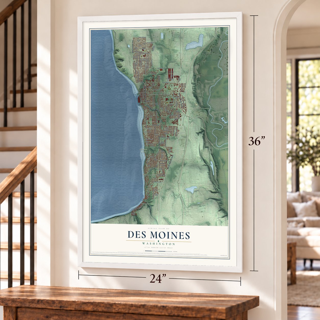
Explore Des Moines, Washington from a whole new perspective. Created using aerial imagery and detailed geographic data, this map captures Des Moines building by building, with labeled streets, familiar landmarks, and shaded topographical relief that highlights the natural contours of the landscape.
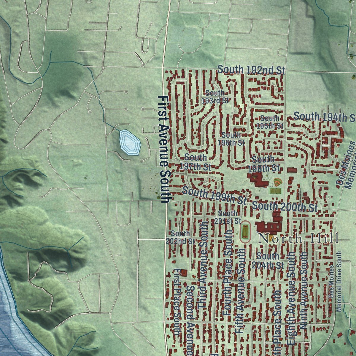
Combining modern data with the timeless character of a vintage atlas, this map is just as interesting up close as it is beautiful on the wall. Whether you grew up in Des Moines, spent memorable years there, or call it home today, this unique map is a great way to celebrate a place that means something to you. Zoom in on the preview to look for your street, and then order a print to put your memories on the wall.
Three ways to hang it
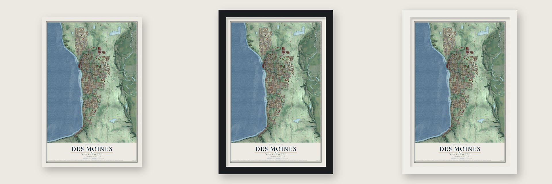
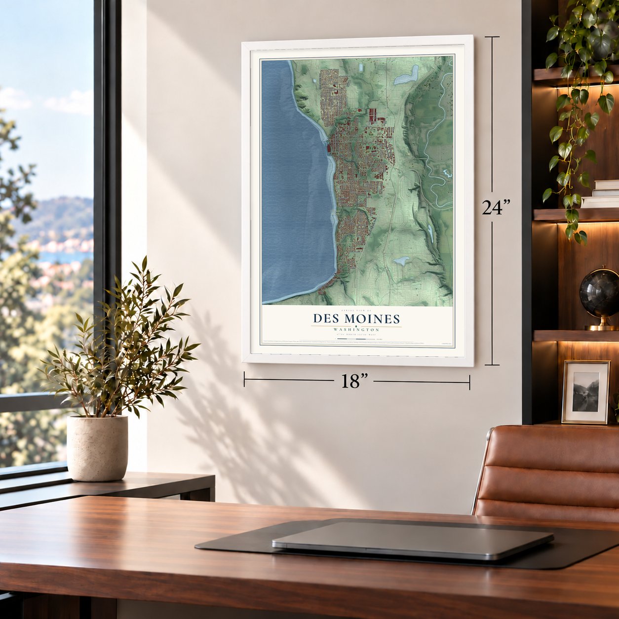
Unframed archival matte, a black wood frame or a white wood frame.
Up close
Geography Worth Displaying
This map was created using accurate cartographic data and authoritative geographic sources, including the U.S. Geological Survey and the Census Bureau. The map brings together terrain, waterways, roads, and building detail. The majority of the streets are labeled, houses are accurately depicted, and the topography is derived from government sources. Combining local data with carefully composed color and shading leads to this beautifully detailed Des Moines artwork for your wall.
Rather than simply showing street outlines, we’ve included as many of the street names as we could reasonably fit on the map while keeping their names legible. Zoom in on the high resolution preview to see exactly what’s on the map. We truly set out to create a statement piece for anyone who loves Des Moines. So whether it’s for you, or a gift for someone you love, we hope this map of Des Moines brings back fond memories.
Read the story behind this map of Des Moines, Washington from 2026.

About Des Moines, Washington
Des Moines is a city of 32,888 people in King County, on the east shore of Puget Sound, 15 miles south of Seattle. Captain George Vancouver sailed past its high bluffs on May 26, 1792, through smoke from fires that Indians had set to drive deer for hunting. Settlement began in 1867, when John Moore claimed 154 acres by the water and put up a cabin. Moore was committed to an asylum in 1879, and his land passed to Fountain O. Chezum.
In 1889 Chezum sold the land to F. A. Blasher, who had come west from Des Moines, Iowa. Also in 1889, John W. Kleeb and Orin Watts Barlow bought Blasher's land and laid out a townsite there. They named the town for Blasher's former home city and formed the Des Moines City Improvement Co. Lumber and shingle mills, the first businesses, cleared away the fir and cedar. Once a new wharf was built, steamers and later the Mosquito Fleet carried passengers to Seattle and Tacoma.
“One winter, a wagon carrying a coffin couldn’t make it up the steep hillside. It was decided to bury the coffin right then and there.”
- Bust, then boomThe Panic of 1893 cost Des Moines nearly a quarter of its people: 216 lived here in 1890 but only 162 in 1900. A boom in 1906 lifted the count to 357, and it crept up to 751 by 1920. Then cars brought Sunday drivers out from Seattle and Tacoma, and many liked the cheaper land enough to move here. By 1930 the town had nearly 2,000 people.
- A car ferry in 1916The Brick Highway, the town's first road, was finished in May 1916. On November 13, 1916, the first automobile ferry to cross Puget Sound began running from Des Moines to Portage. It kept running until September 1921.
- A restaurant in a redwoodDiners came to the Big Tree Inn for chicken, and its walls were sections of a hollowed redwood 2,000 years old. The tree was first shaped for an exposition in San Francisco and was brought to Des Moines in the 1920s. After Pacific Highway South was completed in the 1930s, the inn was moved beside the new road. Fire later destroyed it.
- A city since 1959Kent was annexing nearby land, and Des Moines residents voted to form a city of their own instead of joining it. Des Moines was incorporated on June 17, 1959, which gave residents a say over roads, growth and the noise from Sea-Tac Airport to the north.
- An 838-berth marinaThe city opened its small boat marina, with 838 berths, on May 10, 1970. In 1980 it added a 670-foot concrete and aluminum fishing pier at the marina's north end.
Find your street
Names on the Des Moines map
Every name below is printed on this map. Look for your street, your school, the park where you played, or the pond down the road.
Places and landmarks6
- Downtown Des Moines
- Redondo
- North Hill
- Woodmont Beach
- Zenith
- Saltwater State Park
Streets and roads112
- First Avenue South
- Marine View Drive South
- Pacific Highway South
- 16th Avenue South
- South Kent Des Moines Road
- South 272nd Street
- Fourth Place South
- Seventh Place South
- 13th Avenue South
- South 248th Street
- Eighth Avenue South
- 20th Avenue South
- Seventh Avenue South
- 24th Avenue South
- Sixth Avenue South
- 14th Avenue South
- South 216th Street
- Fourth Avenue South
- South 240th Street
- Fifth Avenue South
- Third Avenue South
- South 208th Street
- South 220th Street
- 13th Place South
- Second Avenue South
- 30th Avenue South
- South 234th Street
- Woodmont Drive South
- South 260th Street
- South 192nd Street
Show all 112 streets
- Marine View Drive
- South 243rd Street
- South 268th Street
- South 194th Street
- South 200th Street
- 26th Place South
- South 199th Street
- South 211th Place
- South 218th Street
- Twelfth Avenue South
- South 219th Street
- South 244th Place
- Tenth Avenue South
- 15th Avenue South
- 19th Avenue South
- Ninth Avenue South
- 18th Avenue South
- South 244th Street
- South 232nd Street
- 28th Avenue South
- South 242nd Street
- 21st Avenue South
- 26th Avenue South
- Redondo Beach Drive South
- South 210th Street
- 25th Avenue South
- 22nd Avenue South
- South 212th Street
- 14th Place South
- South 261st Place
- South 250th Street
- South 229th Street
- South 224th Street
- First Place South
- Redondo Way
- South 264th Street
- South 197th Street
- South 214th Street
- Dock Street
- Des Moines Memorial Drive
- South 198th Street
- South 246th Place
- 29th Avenue South
- South 236th Street
- South 204th Street
- South 251st Street
- South 228th Street
- South 254th Place
- South 259th Street
- South 279th Street
- South 241st Street
- South 291st Street
- South 249th Street
- International Boulevard
- South 222nd Street
- South 252nd Street
- South 202nd Street
- South 196th Street
- South 231st Street
- South 201st Street
- South 262nd Place
- South 234th Place
- South 195th Street
- South 247th Street
- South 263rd Street
- South 213th Street
- South 226th Place
- South 233rd Street
- Sixth Place South
- South 193rd Street
- South 276th Place
- Des Moines Memorial Drive South
- 17th Avenue South
- 23rd Avenue South
- 18th Place South
- South 258th Street
- South 245th Street
- South 270th Street
- South 221st Street
- 31st Avenue South
- 16th Lane South
- South 274th Place
Names are listed as they appear on the printed map. Zoom into the product photos to find them.
The art of mapping a place
How This Map Was Made
Real places. Remarkable detail. Discover the layers that turn geographic data into a map of home.

The view from above
Aerial imagery reveals the character of the land: woodland, open fields, and the patterns of a place.

The shape of the land
Elevation data brings hills, valleys, and subtle changes in the landscape into view.

The details of home
Roads, waterways, and building footprints come together to make the map feel unmistakably local.

Geography becomes art
Considered color, shading, and typography bring the layers together in a map made for your wall.


Process illustrated with Mendon, Massachusetts. Aerial imagery: USDA NAIP. Terrain: USGS 3D Elevation Program. Map details and finished artwork: KNOWOL.
The Details
About This Print
Choose an archival matte print, or a black or white Ayous wood frame. The archival matte print is unframed.
Select your size and finish above to see the matching product image and price.
Materials & Craftsmanship
A contemporary map with the character of a classic atlas, printed on archival matte paper. Optional frames are made from Ayous wood.
Your printed map does not include the watermark shown in the full-map preview.
Shipping & Delivery
Free shipping within the United States. Every print is made to order in the USA.
Buying a gift? Add a note in your cart and we'll include it. We never put prices in the package.
Prints ship within 2 to 3 business days. Allow 7 to 10 days total from ordering for delivery. Timing may vary during holidays or periods of high order volume.
Read our shipping policy.
Returns and damaged prints
Each print is made to order. Change-of-mind refunds are not available after production.
If your print arrives damaged, misprinted or incorrect, contact support@knowol.com within 30 days of receiving it. Include your order number, photos and a description of the issue.
Read our full refund and replacement policy. For questions about your order, email support@knowol.com.
Find your town
Looking for another city?
Find a map of home in our Washington collection, or any town in the country.
Nearby
Maps of towns near Des Moines
Know someone from one of these towns? Their map makes a great gift.
 Normandy Park
, Washington
From $39.99See the map
 SeaTac
, Washington
From $39.99See the map
 Lakeland North
, Washington
From $39.99See the map
More maps nearby: Kent, Federal Way, Burien, Tukwila and Vashon.