
Search for another town





Free U.S. delivery 7 to 10 days after you order
SeaTac, Washington Map Art
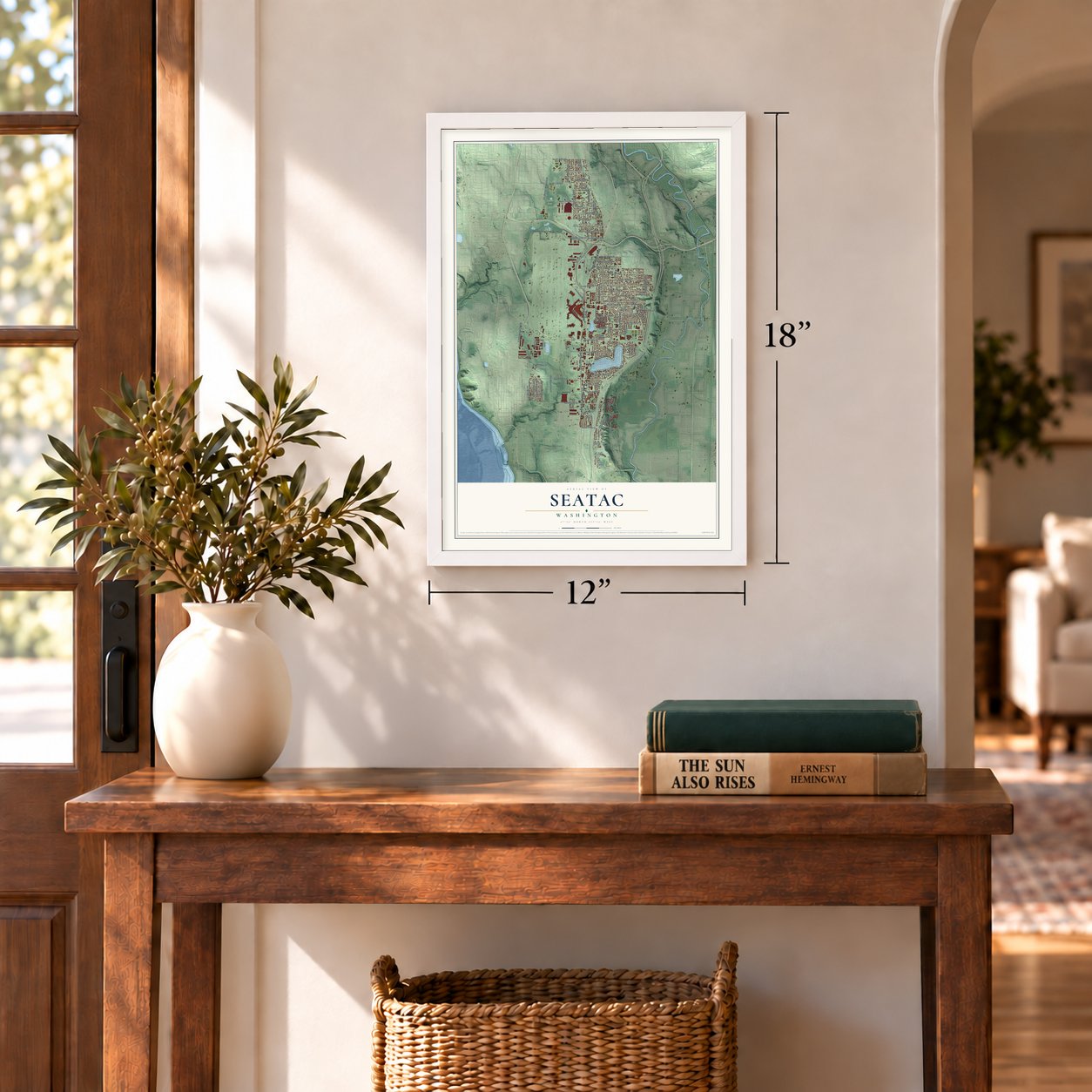
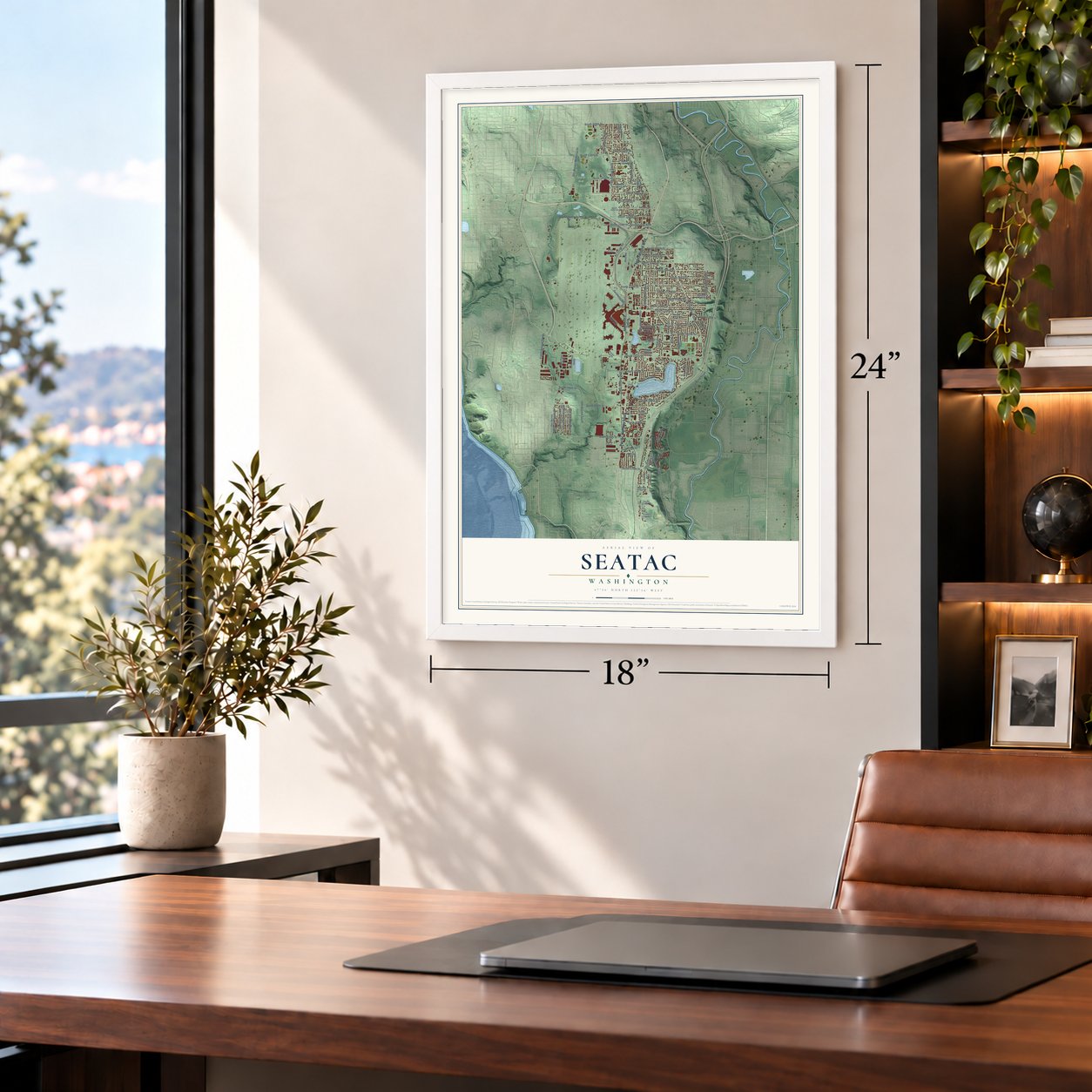
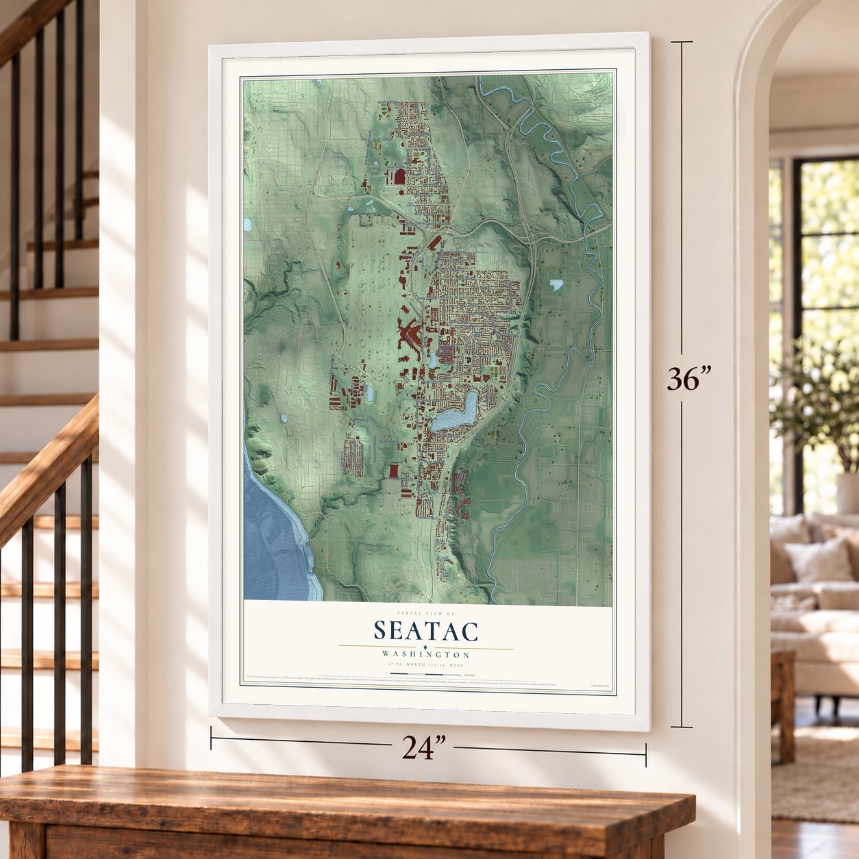
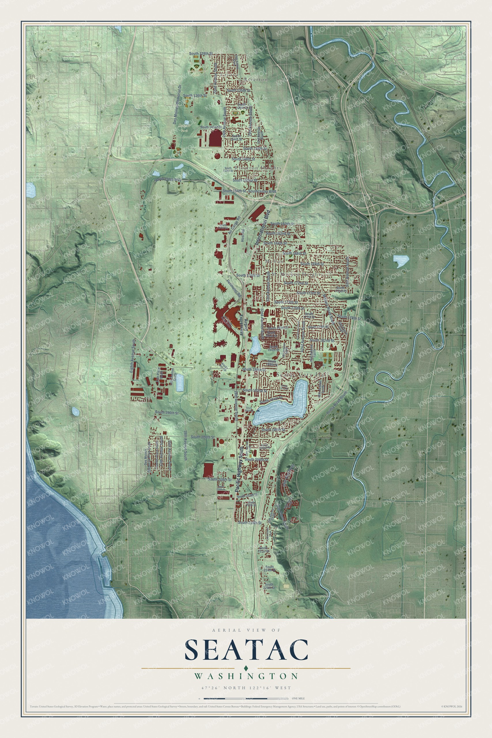
A new map of SeaTac, Washington, made in 2026 and printed to order on thick archival matte paper.
12" x 18" Archival Matte Print
A Map of Home. A Work of Art.
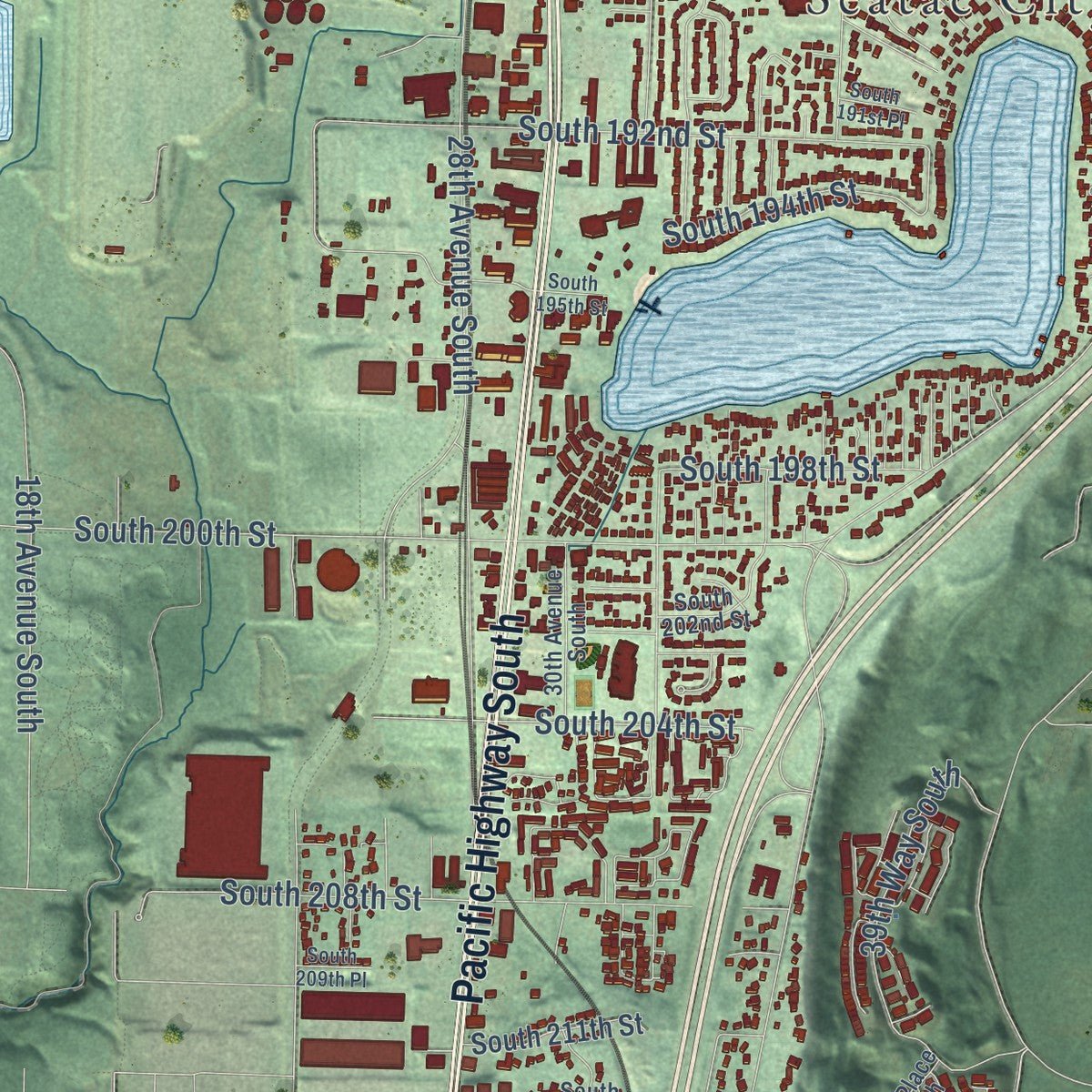
Explore SeaTac, Washington from a whole new perspective. Created using aerial imagery and detailed geographic data, this map captures SeaTac building by building, with labeled streets, familiar landmarks, and shaded topographical relief that highlights the natural contours of the landscape.
Combining modern data with the timeless character of a vintage atlas, this map is just as interesting up close as it is beautiful on the wall. Whether you grew up in SeaTac, spent memorable years there, or call it home today, this unique map is a great way to celebrate a place that means something to you. Zoom in on the preview to look for your street, and then order a print to put your memories on the wall.
Three ways to hang it
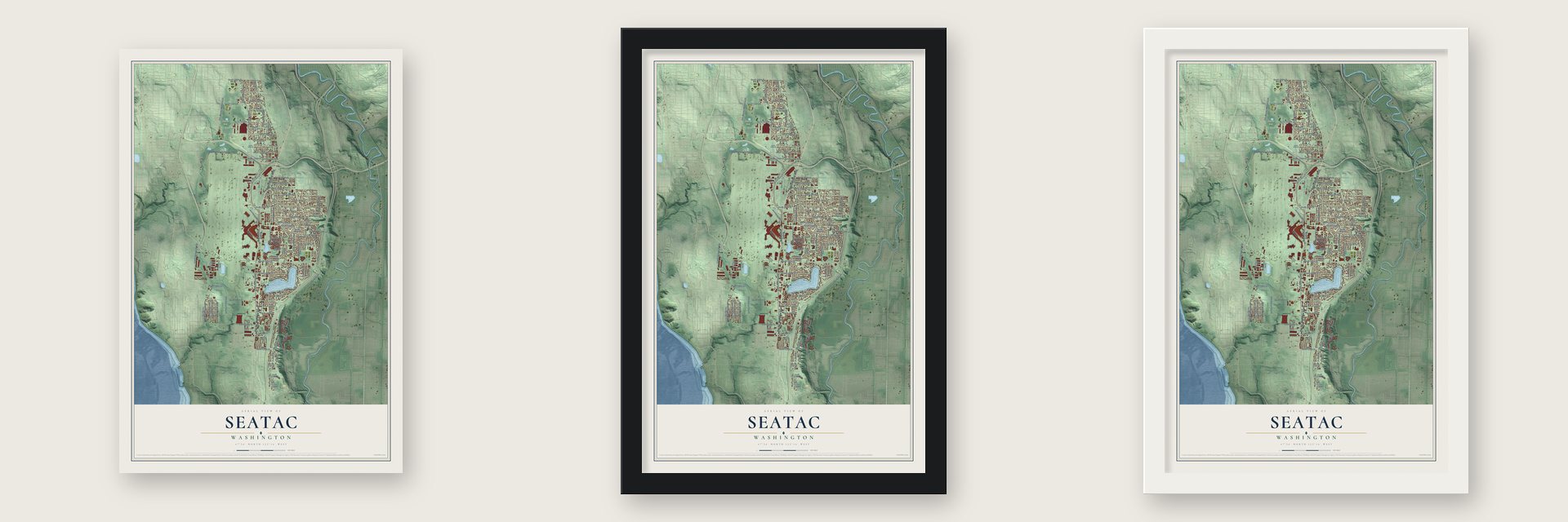
Unframed archival matte, a black wood frame or a white wood frame.
Up close
Geography Worth Displaying
This map was created using accurate cartographic data and authoritative geographic sources, including the U.S. Geological Survey and the Census Bureau. The map brings together terrain, waterways, roads, and building detail. The majority of the streets are labeled, houses are accurately depicted, and the topography is derived from government sources. Combining local data with carefully composed color and shading leads to this beautifully detailed SeaTac artwork for your wall.
Rather than simply showing street outlines, we’ve included as many of the street names as we could reasonably fit on the map while keeping their names legible. Zoom in on the high resolution preview to see exactly what’s on the map. We truly set out to create a statement piece for anyone who loves SeaTac. So whether it’s for you, or a gift for someone you love, we hope this map of SeaTac brings back fond memories.
Read the story behind this map of SeaTac, Washington from 2026.

About SeaTac, Washington
SeaTac is a city of 31,454 people in King County, built around Seattle-Tacoma International Airport on the Highline ridge. Settlers arrived in the mid-1850s and farmed the ridge for decades. After Pearl Harbor the military took over Boeing Field, so in March 1942 the Port of Seattle accepted federal money to build a new civilian airport here. It was dedicated on October 31, 1944, but the Army Air Forces mostly used it to stage B-29 bombers until the war ended.
Riverton Heights and McMicken Heights tripled in size during the war as workers arrived to build planes at Boeing and run the new airport. In the 1980s local residents pushed to make the area a city, while a rival plan would have annexed it to Des Moines. Voters chose to incorporate on March 14, 1989, and the city took effect on February 28, 1990. The ballot said "Sea-Tac," but the petition sent to the county left out the hyphen.
“This [area] was not a wilderness, but rather a garden that bore the imprint of human activity for thousands of years.”
- The Kelly Road of 1872Mike Kelly and Jane Fenton grew up along the Duwamish River, married in 1872 and claimed land at Sunnydale. That year Mike got a permit for a road from the future South Park to his claim, and he built it with relatives and a team of horses. In April 1873 the couple moved to their new log cabin with a baby three weeks old, and Jane taught the area's first school in their kitchen.
- Hamilton's FollyLaif Hamilton bought the Kelly homestead and had the Kelly Road paved with red bricks. The bricks turned slick in the rain and buckled in the heat, so people mocked the road with his name. In 1922 it was renamed Des Moines Memorial Drive, and 1,432 American elms were planted beside it in memory of Washington's World War I dead. Some still stand, and part of the drive now marks SeaTac's western edge.
- The Angle Lake PlungeIn the 1920s the Reeploeg family turned the west end of Angle Lake into a resort with a slide, springboards and a 20-foot diving tower. Admission was 10 cents, but some boys paid 5 cents at the Dreamland Resort across the lake and swam over. Its dance hall drew crowds to hear the Blind Radio Five. After the hall burned in 1957, King County bought the property, and it opened again as Angle Lake Park.
- Canoes from about 1678In 1990 a diver, William Westlake Walker, found two dugout canoes on the bottom of Angle Lake. Carbon dating placed them around 1678. The Muckleshoot and Duwamish tribes both claimed them, and they finally went to the Muckleshoot Tribe for safekeeping.
- A national first in 1976Airport noise drew complaints through the 1960s and 1970s, so the Port Commission and King County wrote the Sea-Tac Communities Plan of 1976. It was the first program in the country where an airport operator bought nearby homes and schools to create a noise buffer and soundproofed others. The plan won a national planning award in 1978, and 420 acres of cleared land north of the airport became North SeaTac Park.
Find your street
Names on the SeaTac map
Every name below is printed on this map. Look for your street, your school, the park where you played, or the pond down the road.
Places and landmarks8
- Seatac City Hall
- Latona
- North Seatac Park
- Sunset Park
- McMicken Heights
- McVan
- Riverton
- Riverton Heights
Streets and roads91
- Pacific Highway South
- International Boulevard
- Des Moines Memorial Drive
- 42nd Avenue South
- South 170th Street
- South 160th Street
- 37th Place South
- South 128th Street
- Military Road South
- Air Cargo Road
- 32nd Avenue South
- Perimeter Road
- South 188th Street
- 24th Avenue South
- South 192nd Street
- 28th Avenue South
- South 200th Street
- South 166th Street
- 33rd Avenue South
- South 208th Street
- South 154th Street
- Southcenter Boulevard
- South 168th Street
- South 194th Street
- 18th Avenue South
- South 146th Street
- Orillia Road South
- South 172nd Street
- South 176th Street
- South 175th Street
Show all 91 streets
- South 182nd Street
- 29th Avenue South
- South 164th Street
- Eighth Avenue South
- South 178th Street
- 51st Avenue South
- South 204th Street
- South 173rd Street
- 22nd Avenue South
- South 152nd Street
- South 156th Way
- South 148th Street
- 39th Way South
- South 136th Street
- 13th Avenue South
- 15th Avenue South
- South 216th Street
- South 162nd Street
- South 198th Street
- South 135th Street
- Host Road
- South 196th Street
- Airport Expressway
- Des Moines Memorial Drive South
- South 186th Street
- 31st Avenue South
- 46th Avenue South
- South 144th Street
- South 179th Street
- South 142nd Street
- 16th Avenue South
- South 138th Street
- South 184th Street
- Twelfth Place South
- South 181st Street
- South 180th Street
- South 211th Street
- South 177th Street
- 44th Avenue South
- 13th Place South
- South 224th Street
- South 172nd Place
- South 228th Street
- South 221st Street
- 40th Place South
- 35th Avenue South
- 30th Avenue South
- 26th Avenue South
- South 150th Street
- 38th Avenue South
- South 161st Street
- South 202nd Street
- South 212th Street
- Alaska Svc Road
- 50th Avenue South
- Air Cargo Road South
- 34th Avenue South
- 41st Avenue South
- South 209th Place
- South 191st Place
- South 195th Street
Names are listed as they appear on the printed map. Zoom into the product photos to find them.
The art of mapping a place
How This Map Was Made
Real places. Remarkable detail. Discover the layers that turn geographic data into a map of home.

The view from above
Aerial imagery reveals the character of the land: woodland, open fields, and the patterns of a place.

The shape of the land
Elevation data brings hills, valleys, and subtle changes in the landscape into view.

The details of home
Roads, waterways, and building footprints come together to make the map feel unmistakably local.

Geography becomes art
Considered color, shading, and typography bring the layers together in a map made for your wall.


Process illustrated with Mendon, Massachusetts. Aerial imagery: USDA NAIP. Terrain: USGS 3D Elevation Program. Map details and finished artwork: KNOWOL.
The Details
About This Print
Choose an archival matte print, or a black or white Ayous wood frame. The archival matte print is unframed.
Select your size and finish above to see the matching product image and price.
Materials & Craftsmanship
A contemporary map with the character of a classic atlas, printed on archival matte paper. Optional frames are made from Ayous wood.
Your printed map does not include the watermark shown in the full-map preview.
Shipping & Delivery
Free shipping within the United States. Every print is made to order in the USA.
Buying a gift? Add a note in your cart and we'll include it. We never put prices in the package.
Prints ship within 2 to 3 business days. Allow 7 to 10 days total from ordering for delivery. Timing may vary during holidays or periods of high order volume.
Read our shipping policy.
Returns and damaged prints
Each print is made to order. Change-of-mind refunds are not available after production.
If your print arrives damaged, misprinted or incorrect, contact support@knowol.com within 30 days of receiving it. Include your order number, photos and a description of the issue.
Read our full refund and replacement policy. For questions about your order, email support@knowol.com.
Find your town
Looking for another city?
Find a map of home in our Washington collection, or any town in the country.
Nearby
Maps of towns near SeaTac
Know someone from one of these towns? Their map makes a great gift.
 Normandy Park
, Washington
From $39.99See the map
 Tukwila
, Washington
From $39.99See the map
 Burien
, Washington
From $39.99See the map
More maps nearby: Des Moines, Bryn Mawr-Skyway, Boulevard Park, White Center and Kent.