
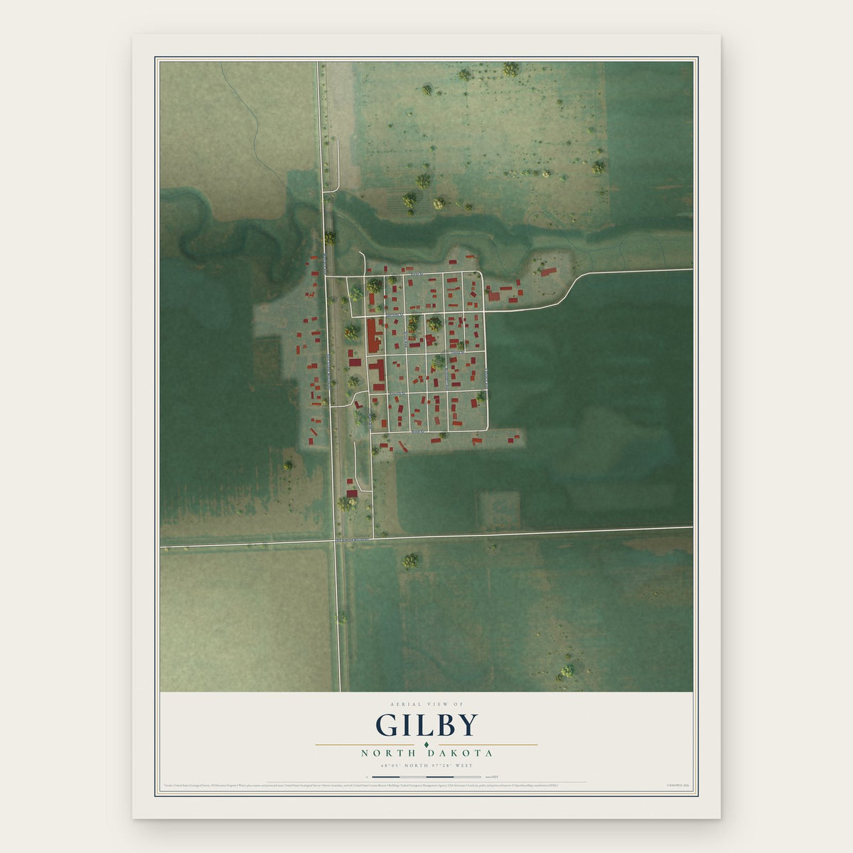


Search for another town





Free U.S. delivery 7 to 10 days after you order
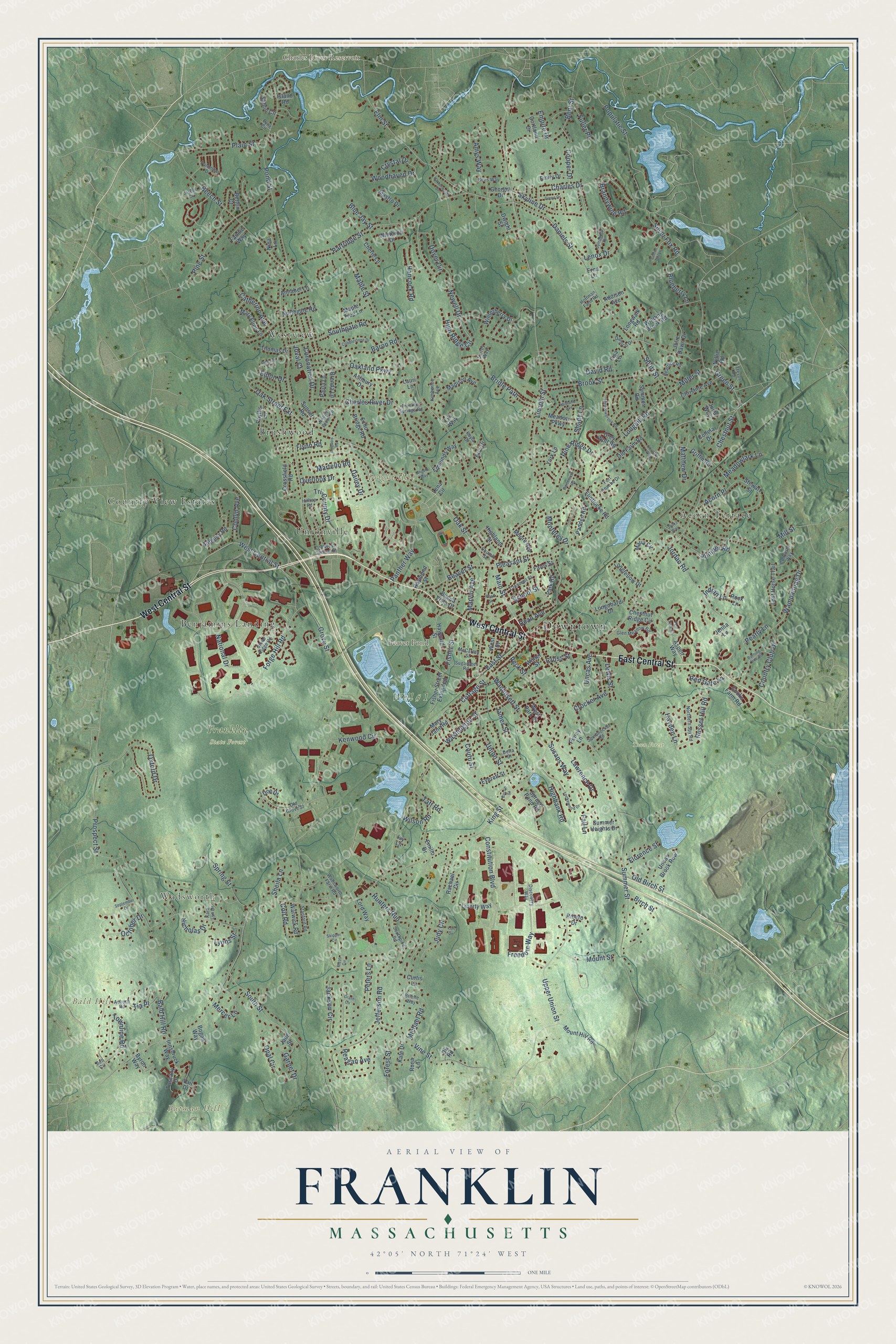
Franklin, Massachusetts Map Art
Building by building, with labeled streets and shaded relief.
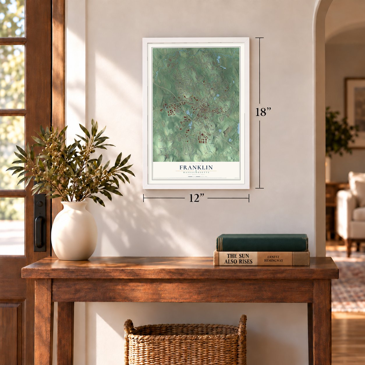
12" x 18" Archival Matte Print
A Map of Home. A Work of Art.
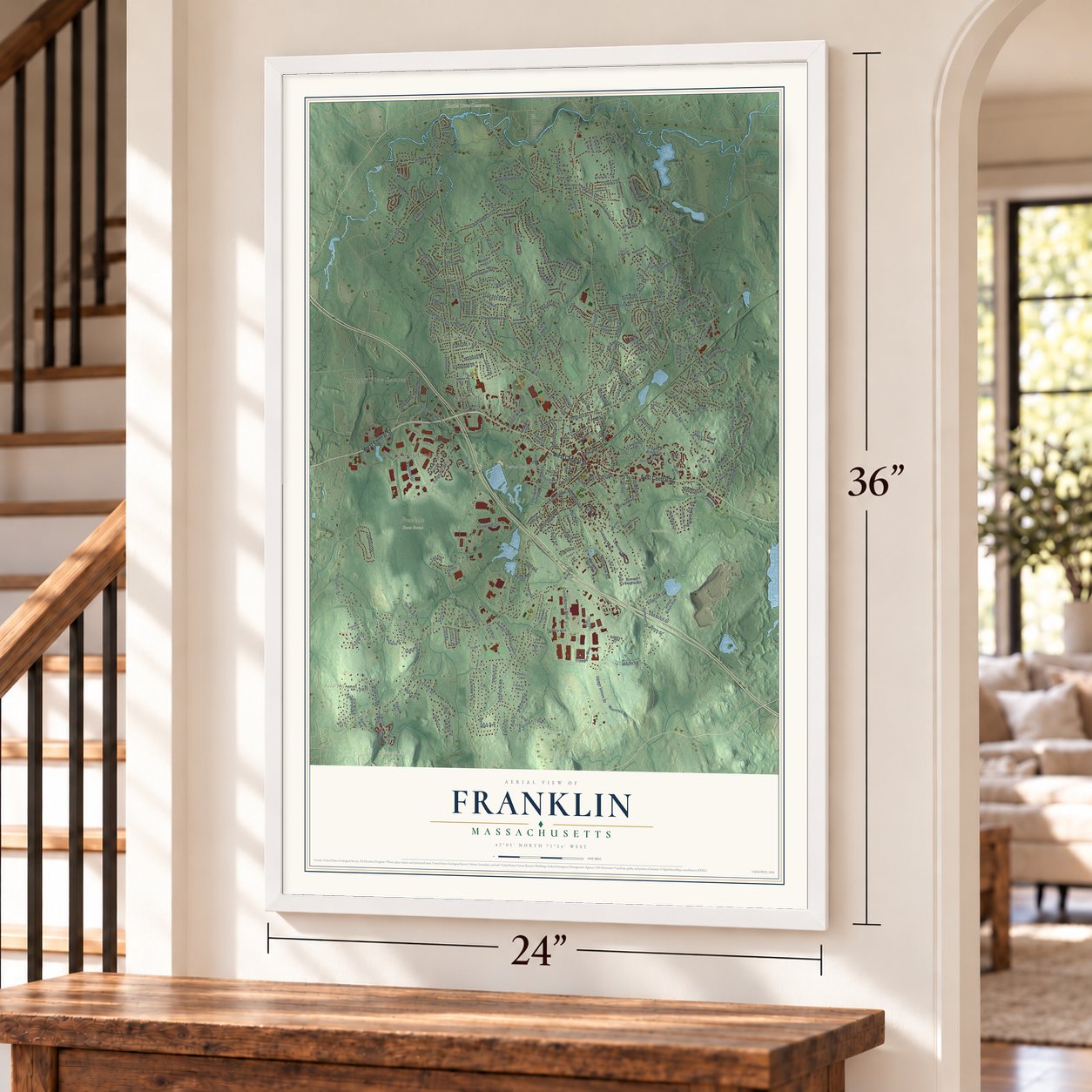
Explore Franklin, Massachusetts from a whole new perspective. Created using aerial imagery and detailed geographic data, this map captures Franklin building by building, with labeled streets, familiar landmarks, and shaded topographical relief that highlights the natural contours of the landscape.
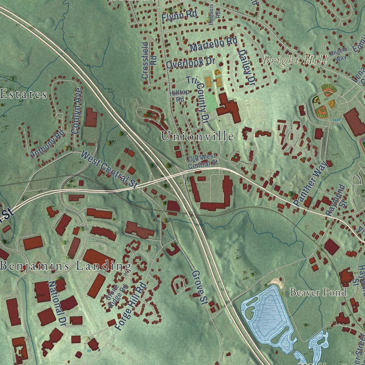
Combining modern data with the timeless character of a vintage atlas, this map is just as interesting up close as it is beautiful on the wall. Whether you grew up in Franklin, spent memorable years there, or call it home today, this unique map is a great way to celebrate a place that means something to you. Zoom in on the preview to look for your street, and then order a print to put your memories on the wall.
Three ways to hang it
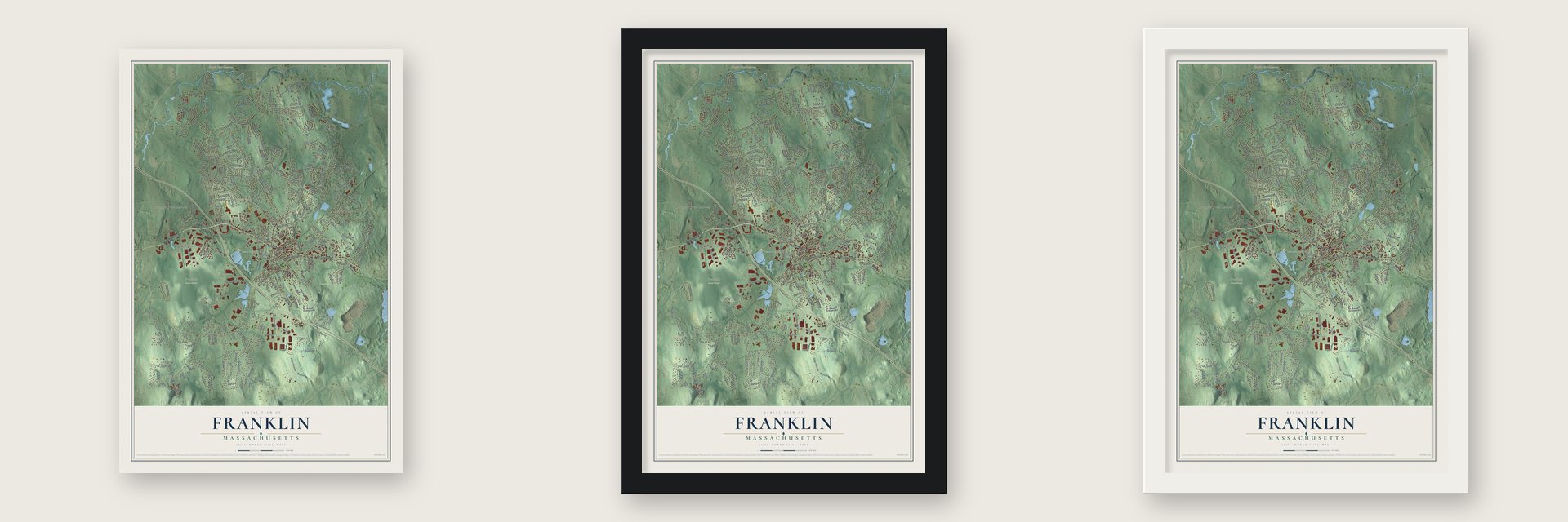
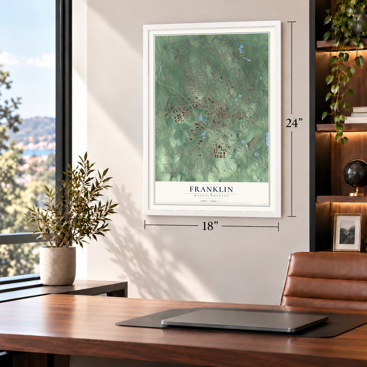
Unframed archival matte, a black wood frame or a white wood frame.
Up close
Geography Worth Displaying
This map was created using accurate cartographic data and authoritative geographic sources, including the U.S. Geological Survey (USGS) and FEMA. The map brings together terrain, waterways, roads, and building detail. The majority of the streets are labeled, houses are accurately depicted, and the topography is derived from government sources. Combining local data with carefully composed color and shading leads to this beautifully detailed Franklin artwork for your wall.
Rather than simply showing street outlines, we’ve included as many of the street names as we could reasonably fit on the map while keeping their names legible. Zoom in on the high resolution preview to see exactly what’s on the map. We truly set out to create a statement piece for anyone who loves Franklin. So whether it’s for you, or a gift for someone you love, we hope this map of Franklin brings back fond memories.
Explore the full map of Franklin, Massachusetts and read about the local places it shows.

Find your street
Names on the Franklin map
Every name below is printed on this map. Look for your street, your school, the park where you played, or the pond down the road.
Places and landmarks16
- Downtown
- Wadsworth
- Bald Hill
- Bright Hill
- Butman Hill
- Beaver Pond
- Charles River Reservoir
- Franklin State Forest
- Town Forest
- Well # 1
- Acorn Terrace
- Westview
Show all 16 places
- Country View Estates
- Unionville
- Brushwood
- Benjamins Landing
Streets and roads287
- West Central Street
- East Central Street
- Oak Street
- Cottage Street
- Main Street
- Grove Street
- Lincoln Street
- Miller Street
- Brandywine Road
- High Ridge Circle
- Fisher Street
- Pleasant Street
- Chestnut Street
- Elm Street
- Vine Street
- Charles Drive
- Oak Street Extension
- Green Street
- Washington Street
- Pond Street
- Summer Street
- Jefferson Road
- Maple Street
- Prospect Street
- King Street
- Upper Union Street
- Union Street
- Daniels Street
- Forest Street
- Partridge Street
Show all 287 streets
- Charles River Drive
- Beaver Street
- Forge Hill Road
- Jordan Road
- Oxford Drive
- South Street
- Longhill Road
- Constitution Boulevard
- Brook Street
- Beech Street
- Jackson Circle
- Pine Street
- Populatic Street
- Townline Road
- Dover Circle
- Southgate Road
- Mill Street
- Coronation Drive
- Skyline Drive
- Mount Street
- Dailey Drive
- Bent Street
- Dean Avenue
- Conlyn Avenue
- Hunters Run
- Bridle Path
- Baron Road
- Wachusett Street
- Wampanoag Drive
- School Street
- Oakland Parkway
- Shady Lane
- Freedom Way
- Tri-County Drive
- Hancock Road
- Plain Street
- Peck Street
- Lawrence Drive
- Amys Way
- Opal Circle
- Spring Street
- Acorn Place
- Pine Ridge Drive
- Peters Lane
- Russet Hill Road
- Panther Way
- Matthew Drive
- National Drive
- Blueberry Lane
- Juniper Road
- Country Club Drive
- Short Street
- Hayden Lane
- Woodhaven Drive
- Lenox Drive
- Mercer Lane
- Silver Fox Road
- Kenwood Circle
- Newell Drive
- East Street
- Martello Road
- Michael Road
- Catherine Avenue
- Susans Way
- Bald Hill Road
- Meadowlark Lane
- Judy Circle
- October Drive
- Garnet Drive
- Old Birch Street
- Lewis Street
- Marvin Avenue
- Nicholas Drive
- Fuller Place
- Crocker Avenue
- Monterey Drive
- Wilson Road
- Cooper Drive
- Florence Street
- Crystal Drive
- Red Gate Lane
- Highbank Road
- Birch Street
- Tia Place
- Overlook Drive
- Pearly Lane
- Reagan Avenue
- Taft Road
- Sheila Lane
- Colt Road
- Blue Jay Street
- Fall Lane
- James Street
- Lyons Street
- Uncas Avenue
- Cross Street
- Empire Drive
- Coutu Street
- David Road
- Eldon Drive
- Indian Lane
- Flynn Road
- Joval Court
- Winterberry Drive
- Chestnut Ridge Circle
- Old Farm Road
- Stewart Street
- Longfellow Drive
- Longobardi Drive
- Lost Horse Trail
- Grey Wolf Road
- Anthony Road
- Christine Avenue
- Hayward Street
- Echo Bridge Road
- Padden Road
- Mastro Drive
- Betten Court
- Mount Hill Road
- Maria Circle
- Highland Street
- Griffin Road
- Spruce Pond Road
- Meadow Parkway
- Uncas Brook Row
- Aspen Way
- Sahlin Circle
- Phyllis Lane
- Fisher Street Extended
- Summer Heights Drive
- Mary Ellen Lane
- Winding Brook Road
- Edmunds Way
- Park Road
- Flintlocke Road
- Cherie Lane
- Northgate Road
- Madison Avenue
- Julie Dawn Drive
- Ashbury Drive
- West Street
- Crossfield Road
- Moore Avenue
- Maple Tree Lane
- Warwick Road
- Cooks Farm Road
- Symmes Road
- Tuscany Drive
- Liberty Way
- Innsbruck Way
- Thomas Drive
- Emily Drive
- Annabel Lane
- Buena Vista Drive
- West Park Street
- Emilio Drive
- Lisa Lane
- Brenda Lane
- Rachael Circle
- Winthrop Drive
- Addison Avenue
- Longwalk Road
- Kate Drive
- Rona Lane
- Everett Street
- Winter Street
- Paula Lane
- Mary Jane Road
- Eric Drive
- Raymond Street
- Lord Way
- Georgia Drive
- Cortland Drive
- Vail Drive
- Fales Street
- Collela Drive
- Wyllie Road
- York Lane
- Ribero Drive
- Lena Circle
- Dwight Street
- Fannie Way
- Byron Way
- Sunset Road
- Doe Drive
- Juna Way
- Nina Lane
- Jenna Lane
- Penny Lane
- Bogan Way
- Lauri Lane
- Rock Lane
- Jade Street
- Curtis Lane
- Island Road
- Lily Way
- Dix Road
- Erna Lane
- Ivy Lane
- Palomino Drive
- Glen Meadow Road
- Northern Spy Road
- Stone Ridge Road
- Hilltop Road
- Concetta Way
- Old West Central Street
- Kimberlee Avenue
- Crescent Street
- Southpine Road
- Old Grove Street
- Wadsworth Farm Road
- Sugarbeet Road
- Squibnocket Road
- McCarthy Street
- Noanet Brook Lane
- Stanford Road
- Franklin Springs Road
- Fort Apache Drive
- Damico Drive
- Beatrice Road
- Kara Lyn Drive
- Auburn Road
- Trevor Road
- Discovery Way
- Bens Way
- Kayla Drive
- Church Street
- Hoffman Farm Road
- Delta Drive
- Brielle Way
- Surrey Way
- Pyne Circle
- Bell Circle
- Lockewood Drive
- Meadowbrook Road
- September Drive
- Cobblestone Drive
- Harborwood Drive
- Midland Avenue
- Richard Lane
- Symphony Drive
- Country Way
- Lori Drive
- Cotton Tail Lane
- Angelo Way
- Burning Tree Road
- Pear Tree Lane
- Glenn Drive
- Dartmouth Road
- Joseph Circle
- Jacks Way
- Skipper Circle
- Iroquois Road
- Bacon Street
- Grant Circle
- Rizoli Circle
- Pearl Street
Names are listed as they appear on the printed map. Zoom into the product photos to find them.
About Franklin, Massachusetts
Franklin is a city in Norfolk County, Massachusetts, where the 2020 census recorded 33,261 residents. Settlement began in 1660, and the community was incorporated in 1778.
- 2020 populationThe census recorded 33,261 residents in Franklin.
- Incorporated in 1778It was incorporated in 1778.
- Norfolk CountyFranklin is a city in this Massachusetts county.
Keep exploring Massachusetts
Franklin is one of 470 Massachusetts towns we've mapped. Every dot on the map is a print of its own.
The search covers every state, Massachusetts first.
Near Franklin
Order 2 or more town maps and save 10%. Shown in the size and finish you picked above, so they hang as a set.
- Bellingham 12" x 18" / Archival Matte Print $39.99
- Wrentham 12" x 18" / Archival Matte Print $39.99
- Norfolk 12" x 18" / Archival Matte Print $39.99
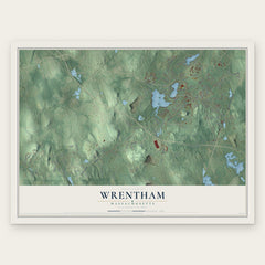
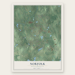
More maps nearby: Medway, Plainville, Millis, Hopedale and Mendon.
The art of mapping a place
How This Map Was Made
Real places. Remarkable detail. Discover the layers that turn geographic data into a map of home.

The view from above
Aerial imagery reveals the character of the land: woodland, open fields, and the patterns of a place.

The shape of the land
Elevation data brings hills, valleys, and subtle changes in the landscape into view.

The details of home
Roads, waterways, and building footprints come together to make the map feel unmistakably local.

Geography becomes art
Considered color, shading, and typography bring the layers together in a map made for your wall.


Process illustrated with Mendon, Massachusetts. Aerial imagery: USDA NAIP. Terrain: USGS 3D Elevation Program. Map details and finished artwork: KNOWOL.
The Details
About This Print
Choose an archival matte print, or a black or white Ayous wood frame. The archival matte print is unframed.
Select your size and finish above to see the matching product image and price.
Materials & Craftsmanship
A contemporary map with the character of a classic atlas, printed on archival matte paper. Optional frames are made from Ayous wood.
Your printed map does not include the watermark shown in the full-map preview.
Shipping & Delivery
Free shipping within the United States. Every print is made to order in the USA.
Buying a gift? Add a note in your cart and we'll include it. We never put prices in the package.
Prints ship within 2 to 3 business days. Allow 7 to 10 days total from ordering for delivery. Timing may vary during holidays or periods of high order volume.
Read our shipping policy.
Returns and damaged prints
Each print is made to order. Change-of-mind refunds are not available after production.
If your print arrives damaged, misprinted or incorrect, contact support@knowol.com within 30 days of receiving it. Include your order number, photos and a description of the issue.
Read our full refund and replacement policy. For questions about your order, email support@knowol.com.