
Search for another town





Free U.S. delivery 7 to 10 days after you order
Good Intent, New Jersey Map Art
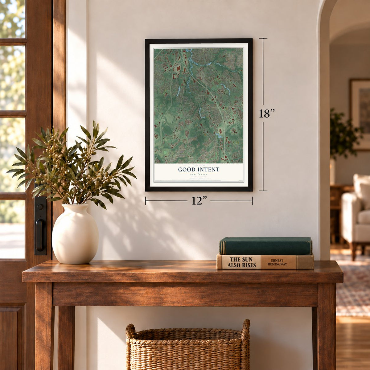
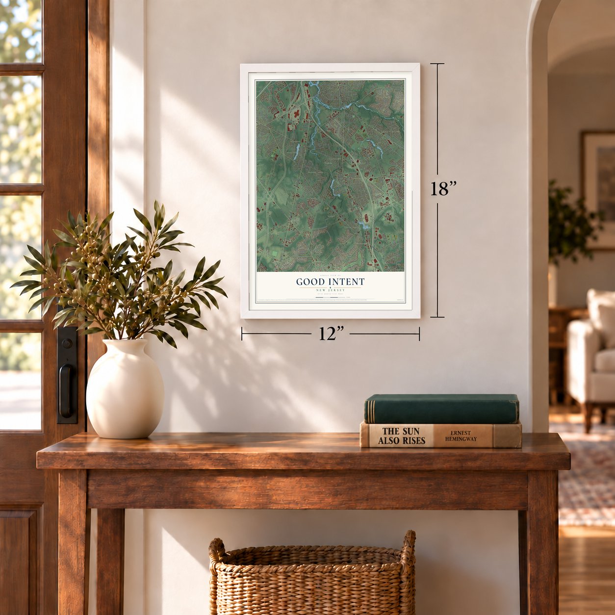
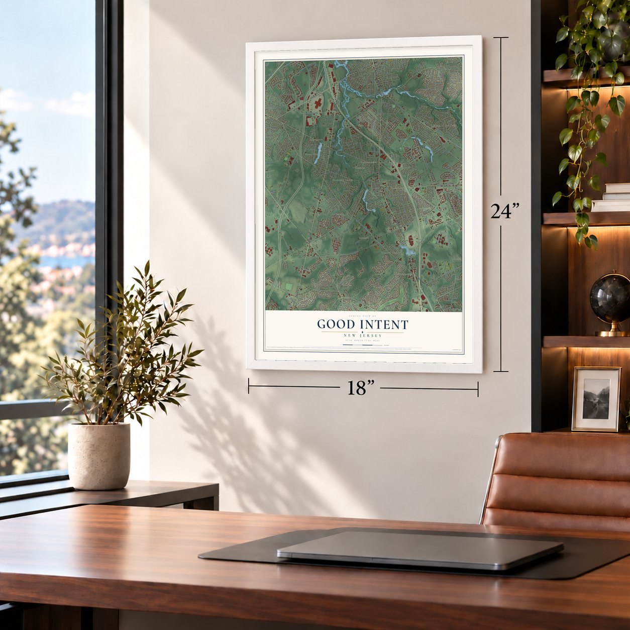
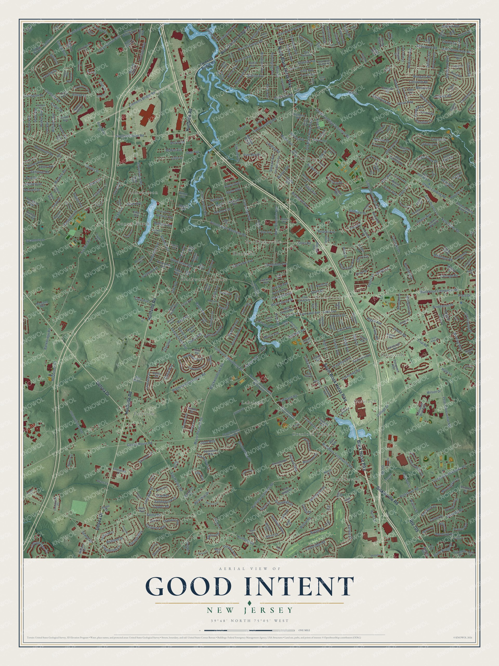
A new map of Good Intent, New Jersey, made in 2026 and printed to order on thick archival matte paper.
12" x 18" Archival Matte Print
A Map of Home. A Work of Art.
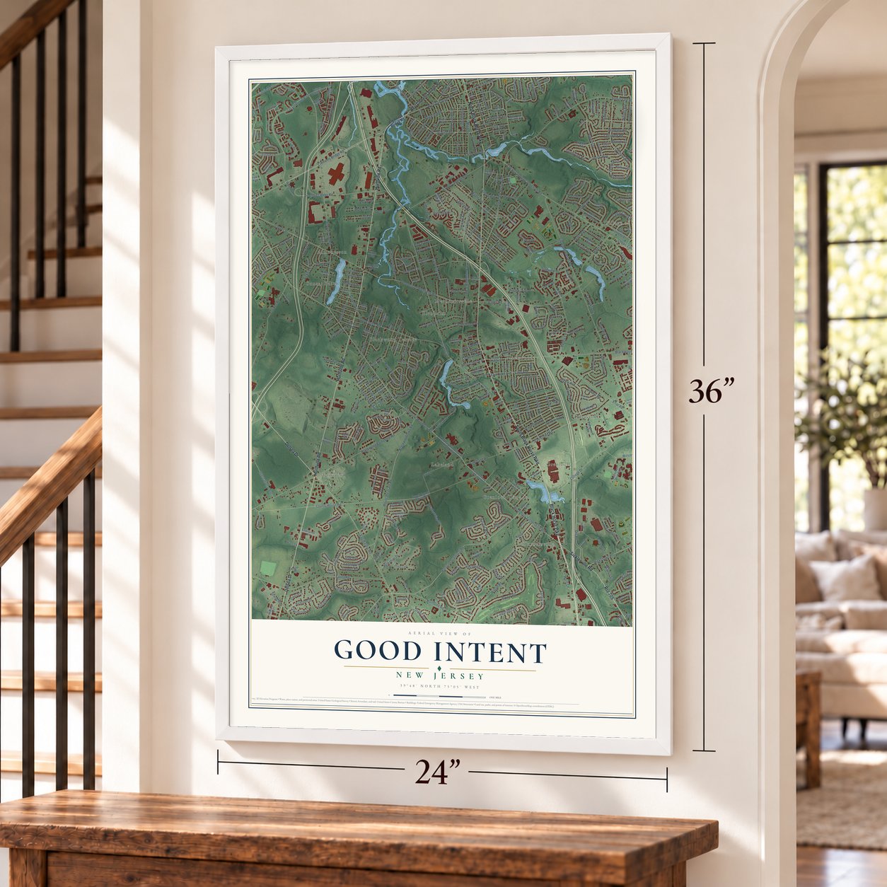
Explore Good Intent, New Jersey from a whole new perspective. Created using aerial imagery and detailed geographic data, this map captures Good Intent building by building, with labeled streets, familiar landmarks, and shaded topographical relief that highlights the natural contours of the landscape.
Combining modern data with the timeless character of a vintage atlas, this map is just as interesting up close as it is beautiful on the wall. Whether you grew up in Good Intent, spent memorable years there, or call it home today, this unique map is a great way to celebrate a place that means something to you. Zoom in on the preview to look for your street, and then order a print to put your memories on the wall.
Three ways to hang it
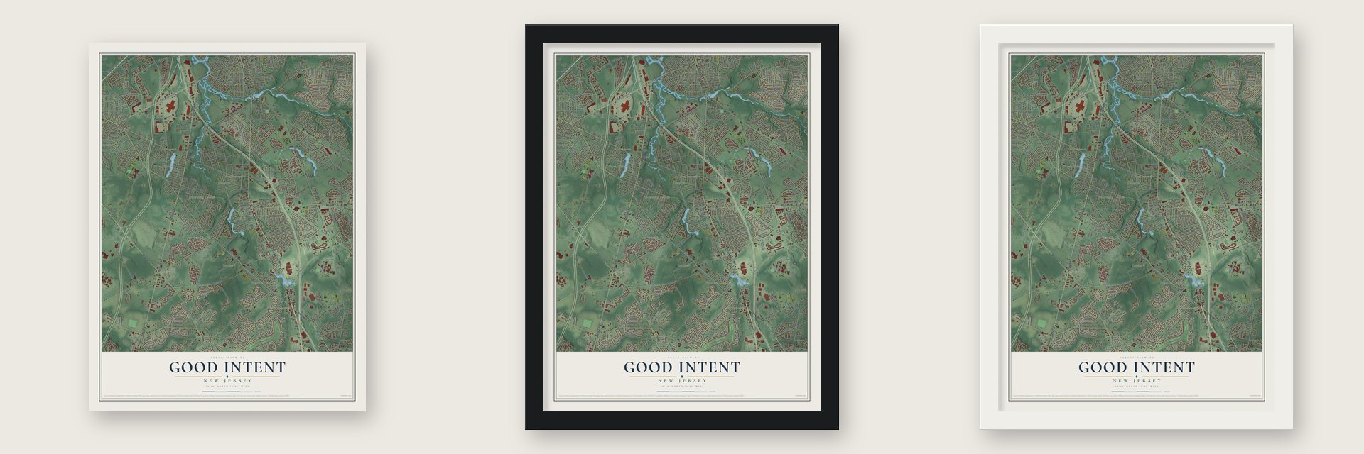
Unframed archival matte, a black wood frame or a white wood frame.
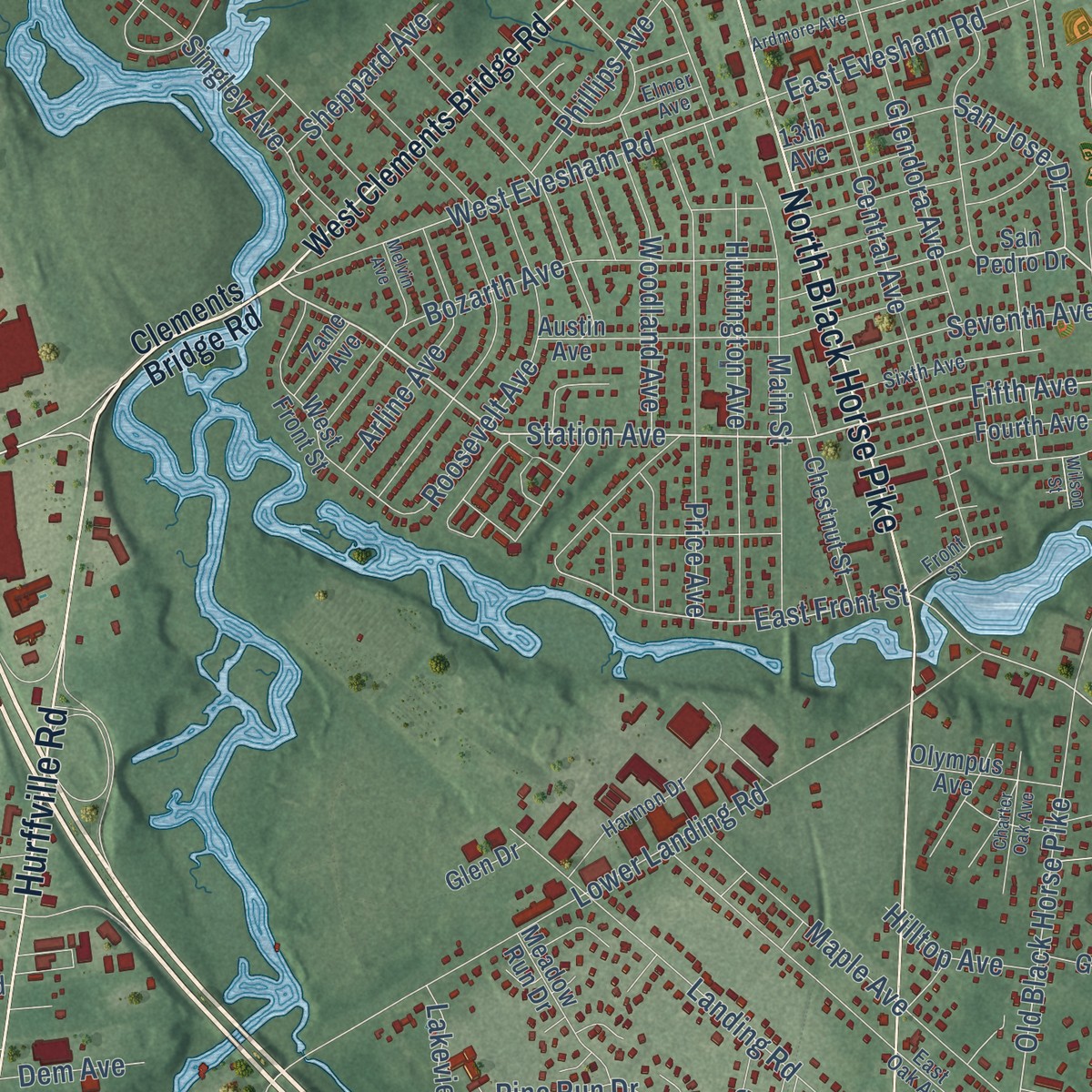
Up close
Geography Worth Displaying
This map was created using accurate cartographic data and authoritative geographic sources, including the U.S. Geological Survey and the Census Bureau. The map brings together terrain, waterways, roads, and building detail. The majority of the streets are labeled, houses are accurately depicted, and the topography is derived from government sources. Combining local data with carefully composed color and shading leads to this beautifully detailed Good Intent artwork for your wall.
Rather than simply showing street outlines, we’ve included as many of the street names as we could reasonably fit on the map while keeping their names legible. Zoom in on the high resolution preview to see exactly what’s on the map. We truly set out to create a statement piece for anyone who loves Good Intent. So whether it’s for you, or a gift for someone you love, we hope this map of Good Intent brings back fond memories.
Read the story behind this map: Detailed Map of Good Intent, New Jersey.

Find your street
Names on the Good Intent map
Every name below is printed on this map. Look for your street, your school, the park where you played, or the pond down the road.
Places and landmarks14
- Turnersville
- Village of Glen Oaks
- Almonesson
- Fairview
- Davisville
- Hilltop
- Mechanicsville
- Lakeland
- Grenloch
- Blackwood Terrace
- Blackwood
- Blenheim
Show all 14 places
- Grenloch Terrace
- Sunset Beach
Streets and roads535
- Black Horse Pike
- South Black Horse Pike
- Hurffville Road
- Delsea Drive
- North Black Horse Pike
- Route 705
- Sicklerville Road
- County House Road
- Clements Bridge Road
- Station Avenue
- West Church Street
- Fifth Avenue
- Woodbury Turnersville Road
- Turnerville Woodbury Road
- Good Intent Road
- Blackwood Barnsboro Road
- Locust Grove Boulevard
- Chews Landing Clementon Road
- Little Gloucester Road
- Mount Pleasant Road
- Blackwoodtown Road
- Chews Landing Road
- Lakeland Road
- Salina Road
- West Evesham Road
- Farrier Avenue
- San Jose Drive
- Erial Road
- Almonesson Road
- Hurffville Grenloch Road
Show all 535 streets
- Woodland Avenue
- Somerdale Road
- Old Black Horse Pike
- Winding Way
- East Front Street
- Peter Cheeseman Road
- Deptford Center Road
- Long Bow Drive
- Hampton Lane
- Cooper Street
- Lower Landing Road
- Egg Harbor Road
- College Drive
- Wilson Road
- Blackwood Clementon Road
- Fox Run Road
- Coles Road
- Lincoln Drive
- Oak Avenue
- Roberts Drive
- Hampshire Drive
- Davistown Road
- Kelly Driver Road
- Kelly Drivers Lane
- Turnerville Hickstown Road
- Hickstown Road
- Almonesson-Blenheim Road
- Orr Road
- Goodwin Parkway
- Golfview Drive
- Summit Avenue
- High Street
- Central Avenue
- Orchard Avenue
- Sunset Drive
- Caulfield Avenue
- Upton Way
- Main Street
- Caufield Avenue
- Landing Road
- Bryant Road
- Forrest Drive
- Lake Avenue
- Fox Hollow Lane
- McQuiston Court
- Berkshire Drive
- Village Boulevard
- Marshall Avenue
- State Street
- Hollyoke Road
- Argyle Avenue
- Greenleigh Drive
- Garwood Road
- Clement Drive
- Saddlebrook Drive
- Broadacres Drive
- West Blenheim Avenue
- Barnsboro Road
- Tilford Road
- Burke Avenue
- First Avenue
- Jefferson Drive
- Peters Lane
- Price Avenue
- Maple Avenue
- Lavender Drive
- Sherbrook Boulevard
- Lakeview Drive
- Millbridge Road
- Wilson Avenue
- Meadowview Drive
- Treeline Drive
- Rickland Drive
- East Lake Avenue
- Tall Oaks Drive
- Ridge Avenue
- Lehigh Avenue
- Pennsylvania Avenue
- Huntington Avenue
- Lee Avenue
- Walnut Avenue
- Fern Avenue
- Cambridge Road
- Hider Lane
- Bankbridge Road
- Pine Avenue
- Landing Drive
- La Costa Drive
- Aldridge Way
- Red Bank Drive
- Wyngate Road
- Stratton Lane
- Bozarth Avenue
- Harris Drive
- Williams Avenue
- Heritage Way
- Frankford Avenue
- Crestview Avenue
- Longwood Avenue
- Warwick Road
- Monroe Drive
- Hemlock Drive
- Huckleberry Lane
- Roosevelt Avenue
- Branchwood Drive
- Carriage Road
- Hunters Drive
- Somerset Road
- Cherrywood Drive
- Lakeside Avenue
- Knoll Drive
- Grant Avenue
- Dorado Avenue
- Springlane Drive
- Cummings Avenue
- Cottage Gate Circle
- Ladds Lane
- Winchester Drive
- Lawrence Lane
- International Avenue
- Cherry Circle
- Bayer Avenue
- Estelle Avenue
- Walker Avenue
- Sycamore Lane
- Clementon Avenue
- West Somerdale Road
- Monmouth Road
- Alton Way
- Pine Run Drive
- Cotswold Road
- Plaza Drive
- Club Drive
- Singley Avenue
- Shire Drive
- Caserta Drive
- Sewell Road
- Jones Avenue
- Morris Avenue
- Arline Avenue
- East Evesham Road
- Glendora Avenue
- Sussex Avenue
- Cecelia Drive
- Pulaski Avenue
- Hilltop Avenue
- Evelyn Drive
- Byrd Drive
- Cedar Creek Drive
- Mildred Avenue
- Salem Avenue
- Royalty Lane
- McKinley Avenue
- Doral Drive
- Seventh Avenue
- Cole Landing Road
- Sickle Lane
- Claiborne Way
- Aerial Drive
- Bee Lane
- Craig Drive
- Hurff Lane
- Randolph Drive
- Ellis Avenue
- Southwick Road
- Village Lane
- Trapper Road
- Hyannis Avenue
- Oxford Drive
- Richmond Avenue
- Lindberg Drive
- Stone Bridge Drive
- Woodmill Drive
- Fraser Road
- Bruce Drive
- Clover Drive
- McKee Avenue
- Carol Avenue
- Clearbrook Lane
- Glamis Road
- Linda Avenue
- Hartford Drive
- Little Drive
- Phillips Avenue
- Lillian Place
- Stag Run
- Loch Lomond Drive
- Sheppard Avenue
- Hilliard Way
- Downs Avenue
- Ivanhoe Avenue
- Stewart Avenue
- King Street
- Bennett Drive
- John Drive
- Stephen Drive
- Morningstar Court
- Cattell Drive
- Beech Drive
- Fernwood Drive
- Fenwick Lane
- Wilson Drive
- Victor Avenue
- Apple Avenue
- Zinnia Way
- South Drive
- Divine Street
- Walnut Street
- Cleveland Avenue
- Chestnut
- May Avenue
- Cherry Avenue
- Claro Avenue
- Lexington Drive
- Poplar Avenue
- Millstone Drive
- Skelly Lane
- Chew Lane
- Bellevue Avenue
- Liberty Drive
- Rygate Avenue
- Brewer Lane
- Bethel Lane
- Dem Avenue
- Randy Road
- Lincoln Avenue
- Orchid Court
- Wessex Lane
- Tarpy Drive
- Oak Street
- North Drive
- Filly Way
- Holly Lane
- West Clements Bridge Road
- Woodbury Turnersville Road North
- San Pedro Drive
- Lakeview Avenue
- Chews Landing Clem Road
- Sewell County House Road
- East Church Street
- Meadow Run Drive
- Park Avenue
- Collier Drive
- Spring Hill Drive
- Willow Cedar Way
- Grand Avenue
- Edinburgh Road
- Chatham Road
- Winfield Circle
- Indiana Avenue
- Champion Way
- Dearborne Avenue
- West Central Avenue
- Nancy Lane
- Madison Drive
- Nathan Hale Drive
- Turkey Hill Road
- Juneberry Way
- Gravers Lane
- Sofia Drive
- Highland Avenue
- Austin Avenue
- Red Stone Ridge
- Conestoga Road
- Equitation Way
- West Front Street
- Charles Avenue
- Midway Drive
- Aron's Circle
- Warsaw Avenue
- Hillcrest Lane
- Whitall Drive
- Second Avenue
- Wagner Avenue
- Roosevelt Drive
- Blackwell Court
- East Kennedy Drive
- Lee Ann Drive
- Woodlane Drive
- Linwood Avenue
- Brantley Way
- Fourth Avenue
- Cedar Avenue
- Roosevelt Drive East
- Eastview Avenue
- Raintree Drive
- Prospect Lane
- Third Avenue
- West Kennedy Drive
- Bridle Lane
- Fairview Drive
- Briarwood Drive
- Revere Drive
- Foal Trail
- Chestnut Street
- Mercer Drive
- Garden Avenue
- Valley Green Avenue
- Washington Drive
- Prince Williams Drive
- Raymond Drive
- Aberdeen Lane
- Morning Glory Lane
- Pennsbury Lane
- Cape Cod Drive
- Maurer Avenue
- Heritage Hill Drive
- Stonehenge Drive
- Market Avenue
- 13th Avenue
- Garfield Avenue
- Ohio Avenue
- Terrestria Lane
- Tamwood Lane
- Wynnwood Avenue
- Pine Ridge Court
- Hidden Oaks Drive
- Rogers Place
- Greens Way
- Bellmore Avenue
- Pony Run
- Evergreen Avenue
- Olympus Avenue
- Fay Ann Drive
- Poplar Terrace
- Harford Road
- Vicksburg Road
- Oakmont Road
- Dahlia Road
- Laurel Wood Court
- Midland Terrace
- Dogwood Drive
- Stone River Road
- Hybrid Place
- Enterprise Court
- June Drive
- Trinity Avenue
- Greenbriar Court
- Spring Ridge Court
- Michael Terrace
- Melvina Road
- Elaine Avenue
- Lansbrook Court
- Surrey Road
- Stonegate Court
- Rankin Avenue
- Adrienne Avenue
- Taras Avenue
- Willow Avenue
- Blue Bell Lane
- Juniper Lane
- Dane Avenue
- Dorado Road
- Samantha Court
- Margaret Avenue
- Beacon Hill Drive
- Hartford Road
- Azalea Drive
- Farnham Court
- Burning Tree Road
- Windy Drive
- Mayfair Avenue
- Eden Lane
- Point Road
- Elmwood Avenue
- Evans Lane
- Autumn Court
- Dexter Avenue
- Rex Road
- Taylor Lane
- Mill Road
- Somer Hill Place
- Salinger Court
- Zane Avenue
- Glen Drive
- Sickler Court
- Fanelli Lane
- Ann Avenue
- Slater Avenue
- Selby Avenue
- Knoll Court
- Ethel Avenue
- Orono Place
- Signey Lane
- Digby Drive
- Sylvan Court
- Aspen Street
- Brae Court
- Deer Court
- York Court
- Beryl Court
- Ivy Court
- South Woodbury Turnersville Road
- Front Street
- Fairview Avenue
- Cameron Circle
- Harmon Drive
- Linden Drive
- Long Bow Circle
- Crestview Drive
- Normandy Avenue
- Shoppers Lane
- Glenn Avenue
- Asbury Avenue
- Railroad Avenue
- Cabot Court
- East Atlantic Avenue
- Independence Drive
- Sixth Avenue
- Liberty Way
- Camden Avenue
- Florence Avenue
- Braemar Avenue
- Rosemore Avenue
- Adams Drive
- Grant Drive
- Pebble Lane
- Vista Way
- Pine Street
- Parkside Avenue
- Candlestick Road
- East Oak Avenue
- Princeton Drive
- Clifton Avenue
- Hunterdon Road
- Hillary Lane
- Woods Lane
- Harbor Lane
- Trudy Lane
- Mackenzie Court
- Lewis Avenue
- Lynnwood Lane
- Freeway Drive
- Hinton Way
- High Avenue
- South Otter Branch Drive
- Marcia Court
- Charter Oak Road
- Lehman Avenue
- Sofia Court
- Azalea Court
- East Central Avenue
- Beech Avenue
- Barbara Lane
- Bethany Lane
- Lantern Way
- Hunter Court
- Brooklyn Court
- Mimosa Avenue
- Talon Lane
- Wycombe Avenue
- Ash Drive
- Conover Drive
- Elmer Avenue
- Heath Court
- Dorset Place
- Mystic Court
- Joann Court
- Union Street
- Leidy Avenue
- Cherrywood
- Good Intent Lower Landing Road
- Fox Meadow Drive
- Crestwood Avenue
- Chancellor Drive
- Patriots Ridge Drive
- Windmill Drive
- Rittenhouse Drive
- Carnation Drive
- Melvin Avenue
- Wilson Street
- Fairwyck Lane
- McMichael Avenue
- Mississippi Trail
- Graisbury Avenue
- Lipizzan Road
- West Lake Avenue
- Ardmore Avenue
- Thorny Lane
- Berkshire Avenue
- North Brookline Drive
- Palomino Trail
- Charter Oak Avenue
- Saint Albans Avenue
- Hudson Avenue
- Cornell Avenue
- Beechwood Drive
- Kimberlee Court
- Krista Lane
- Troon Road
- Magnolia Drive
- Sonesta Court
- Sovereign Road
- Millgate Road
- Quail Ridge Road
- Haines Avenue
- Kenneth Court
- Anco Drive
- West Court
- Arbutus Court
- Robert Court
- Hager Avenue
- Laurel Place
- Seth Place
- Iris Lane
Names are listed as they appear on the printed map. Zoom into the product photos to find them.
The art of mapping a place
How This Map Was Made
Real places. Remarkable detail. Discover the layers that turn geographic data into a map of home.

The view from above
Aerial imagery reveals the character of the land: woodland, open fields, and the patterns of a place.

The shape of the land
Elevation data brings hills, valleys, and subtle changes in the landscape into view.

The details of home
Roads, waterways, and building footprints come together to make the map feel unmistakably local.

Geography becomes art
Considered color, shading, and typography bring the layers together in a map made for your wall.


Process illustrated with Mendon, Massachusetts. Aerial imagery: USDA NAIP. Terrain: USGS 3D Elevation Program. Map details and finished artwork: KNOWOL.
The Details
About This Print
Choose an archival matte print, or a black or white Ayous wood frame. The archival matte print is unframed.
Select your size and finish above to see the matching product image and price.
Materials & Craftsmanship
A contemporary map with the character of a classic atlas, printed on archival matte paper. Optional frames are made from Ayous wood.
Your printed map does not include the watermark shown in the full-map preview.
Shipping & Delivery
Free shipping within the United States. Every print is made to order in the USA.
Buying a gift? Add a note in your cart and we'll include it. We never put prices in the package.
Prints ship within 2 to 3 business days. Allow 7 to 10 days total from ordering for delivery. Timing may vary during holidays or periods of high order volume.
Read our shipping policy.
Returns and damaged prints
Each print is made to order. Change-of-mind refunds are not available after production.
If your print arrives damaged, misprinted or incorrect, contact support@knowol.com within 30 days of receiving it. Include your order number, photos and a description of the issue.
Read our full refund and replacement policy. For questions about your order, email support@knowol.com.
Find your town
Looking for another city?
Find a map of home in our New Jersey collection, or any town in the country.
Nearby
Maps of towns near Good Intent
Know someone from one of these towns? Their map makes a great gift.
 Blackwood
, New Jersey
From $39.99See the map
 Grenloch
, New Jersey
From $39.99See the map
 Chews
Chews, New Jersey
From $39.99See the map
More maps nearby: Deptford, Gloucester, Hurffville, Glendora and Turnersville.