
Search for another town




Free U.S. delivery 7 to 10 days after you order
Lincoln, Massachusetts Map Art
Building by building, with labeled streets and shaded relief.
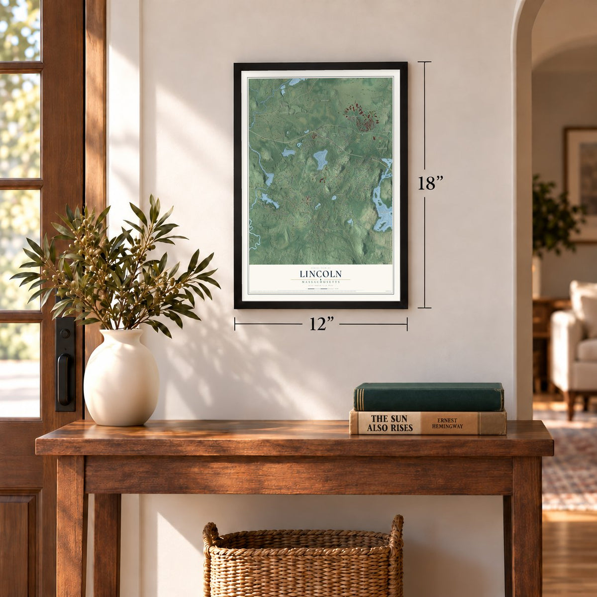
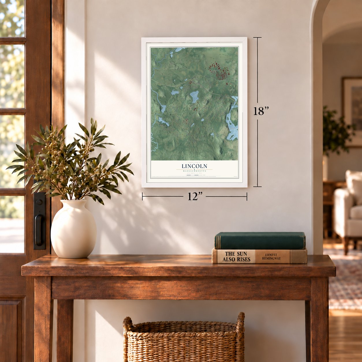
12" x 18" Archival Matte Print
A Map of Home. A Work of Art.
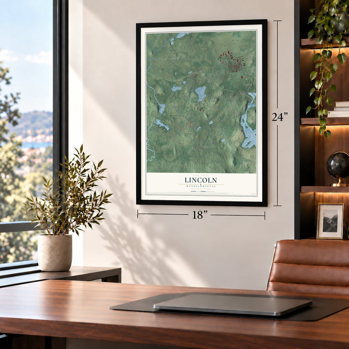
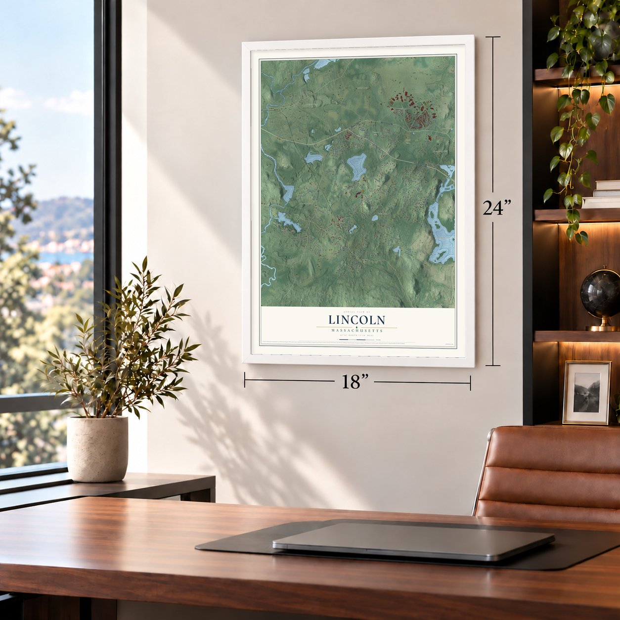
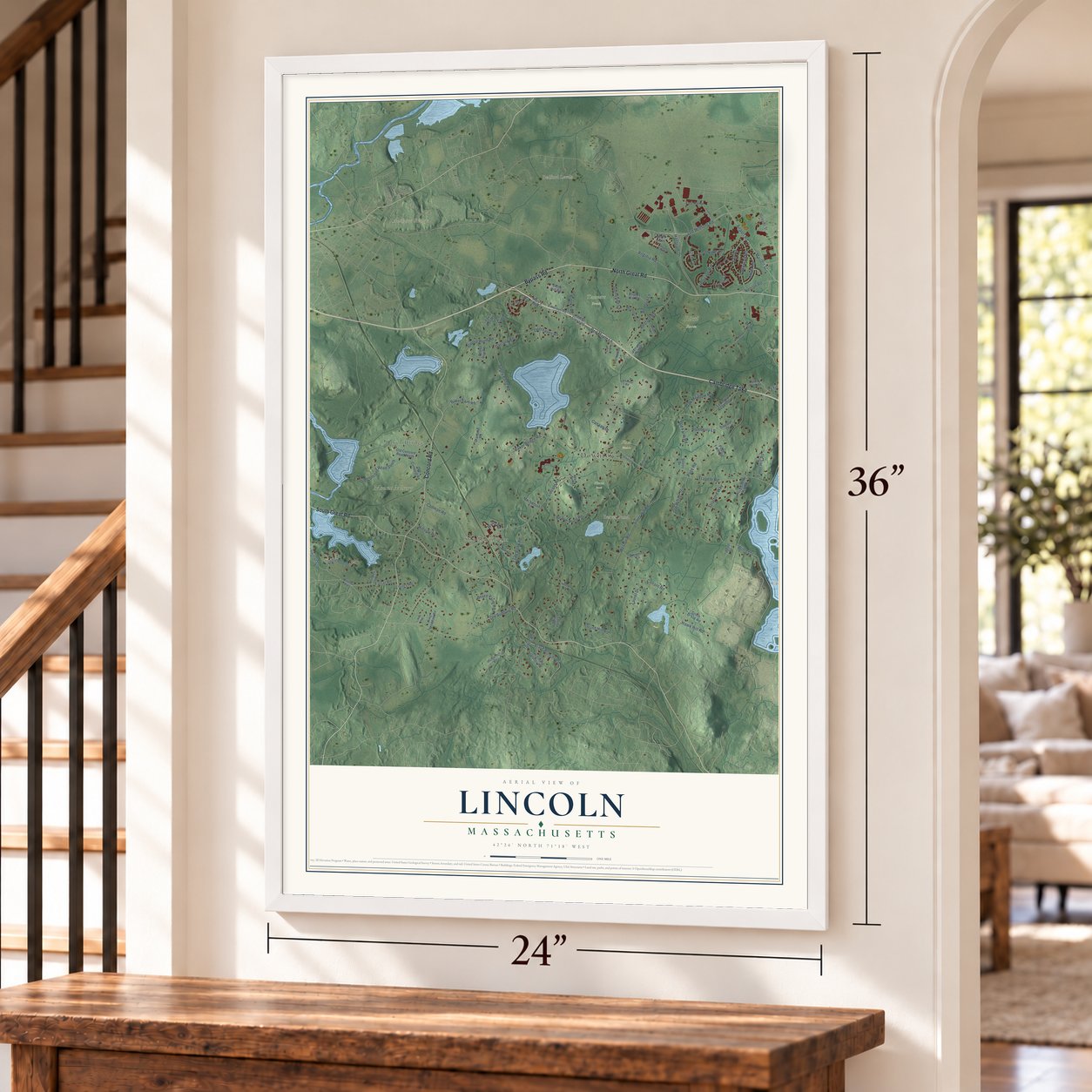
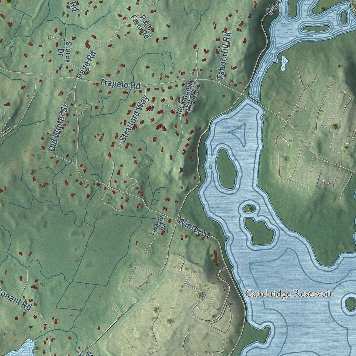
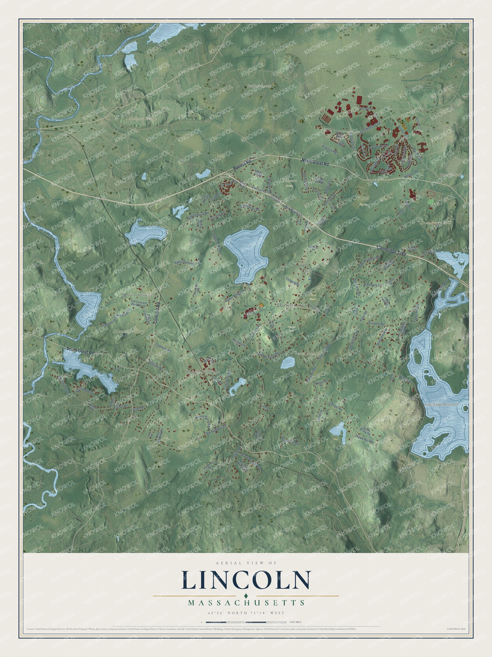
Explore Lincoln, Massachusetts from a whole new perspective. Created using aerial imagery and detailed geographic data, this map captures Lincoln building by building, with labeled streets, familiar landmarks, and shaded topographical relief that highlights the natural contours of the landscape.
Combining modern data with the timeless character of a vintage atlas, this map is just as interesting up close as it is beautiful on the wall. Whether you grew up in Lincoln, spent memorable years there, or call it home today, this unique map is a great way to celebrate a place that means something to you. Zoom in on the preview to look for your street, and then order a print to put your memories on the wall.
Three ways to hang it
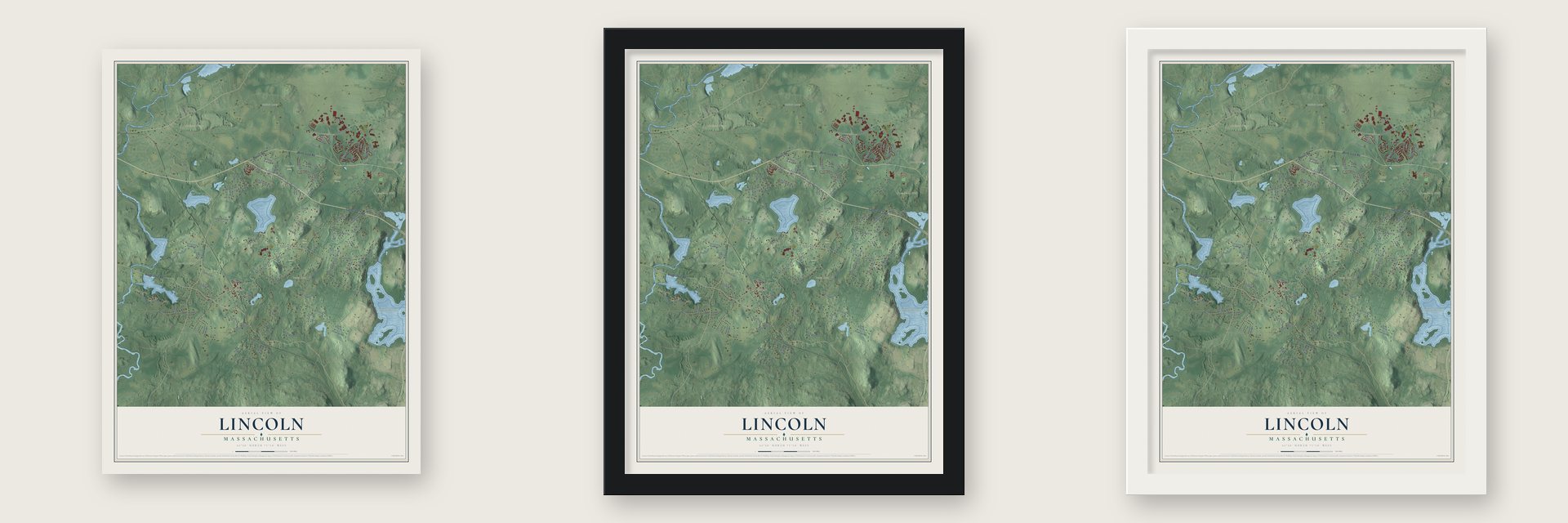
Unframed archival matte, a black wood frame or a white wood frame.
Up close
Geography Worth Displaying
This map was created using accurate cartographic data and authoritative geographic sources, including the U.S. Geological Survey (USGS) and FEMA. The map brings together terrain, waterways, roads, and building detail. The majority of the streets are labeled, houses are accurately depicted, and the topography is derived from government sources. Combining local data with carefully composed color and shading leads to this beautifully detailed Lincoln artwork for your wall.
Rather than simply showing street outlines, we’ve included as many of the street names as we could reasonably fit on the map while keeping their names legible. Zoom in on the high resolution preview to see exactly what’s on the map. We truly set out to create a statement piece for anyone who loves Lincoln. So whether it’s for you, or a gift for someone you love, we hope this map of Lincoln brings back fond memories.
Explore the full map of Lincoln, Massachusetts and read about the local places it shows.

Find your street
Names on the Lincoln map
Every name below is printed on this map. Look for your street, your school, the park where you played, or the pond down the road.
Places and landmarks14
- Downtown
- Baker Bridge
- South Lincoln
- Authors Ridge
- Bedford Levels
- Bloody Bluff
- Cranberry Hill
- Beaver Pond
- Cambridge Reservoir
- Flint Fields
- Mount Misery
- Pierce Park
Show all 14 places
- Ricci Farm
- Tanners Brook
Streets and roads113
- North Great Road
- Bypass Road
- Cambridge Turnpike
- South Great Road
- Concord Road
- Marrett Street
- Old Bedford Road
- Liberty Lane
- Virginia Road
- Bedford Road
- Nelson Road
- Old County Road
- Lincoln Road
- Tower Road
- Sandy Pond Road
- Weston Road
- Trapelo Road
- Hanscom Drive
- Winter Street
- Baker Bridge Road
- Mill Street
- Conant Road
- Page Road
- Codman Road
- Old Sudbury Road
- Airport Road
- Beaver Pond Road
- Silver Hill Road
- Todd Pond Road
- Deerhaven Road
Show all 113 streets
- Old Concord Road South
- Kettlehole Drive
- Brooks Road
- Old Winter Street
- Bedford Lane
- Heritage Road
- Red Maple Lane
- Patterson Road
- Scott Circle
- Farrar Road
- Oak Meadow Road
- Baker Farm Road
- Birchwood Lane
- Ent Road
- Sunnyside Lane
- Laurel Drive
- Black Burnian Road
- Blueberry Lane
- Offutt Road
- Tabor Hill Road
- Goose Pond Road
- Hillside Road
- Canaan Drive
- Boyce Farm Road
- Lexington Road
- Stratford Way
- Round Hill Road
- Old Farm Road
- Garland Road
- Hawk Hill Road
- Wells Road
- Cider Lane
- Giles Road
- Davison Drive
- North Cmns
- Lexington Road South
- Old Concord Road North
- Old Concord Road
- Harvest Circle
- Huckleberry Hill Road
- Long Meadow Road
- Emerson Road
- Warbler Springs Road
- Storey Drive
- Northbridge Road
- Brooks Hill Road
- Twin Pond Lane
- Juniper Ridge
- Deer Run Road
- East Ramp
- Mary's Way
- Mackintosh Lane
- Browning Lane
- Grenier Street
- Rockwood Lane
- Huntley Lane
- South Brook Road
- Horses Crossing
- Smith Hill Road
- Oxbow Road
- Granville Road
- Page Farm Road
- Fox Run Road
- Stonehedge Road
- Morningside Lane
- Reiling Pond Road
- Greenridge Lane
- South Cmns
- Oakdale Lane
- Acorn Lane
- Forester Road
- Wheeler Road
- Oak Knoll
- Ballfield Road
- Old Lexington Road
- Mayflower Road
- Russet Court
- Minebrook Road
- Arnold Street
- Sweet Bay Lane
- Millstone Drive
- Upland Field Road
- Linway Road
Names are listed as they appear on the printed map. Zoom into the product photos to find them.
About Lincoln, Massachusetts
Lincoln is a town of 7,014 people in Middlesex County, west of Boston. Europeans settled here in 1654, when the land still belonged to Concord, and families on the far edges of Concord, Weston and Lexington faced a long trip to their meetinghouses. They asked the General Court to set them apart, and in 1754 Lincoln was incorporated, mostly from the southeast corner of Concord. Because it was pieced together from three neighbors, people sometimes called it Niptown.
Chambers Russell, a representative in the court at Boston, had helped create the town, so he was given the honor of naming it. He picked Lincoln for his family's home in Lincolnshire, England. That makes Lincoln one of the rare American towns named for the English county instead of General Benjamin Lincoln or President Abraham Lincoln.
“difficulties and inconveniences by reason of their distance from the places of Public Worship in their respective Towns”
- Revere caught in LincolnLate on April 18, 1775, a British patrol caught Paul Revere inside Lincoln. His companion Samuel Prescott escaped when his horse leaped a stone wall, and he rode on to the Hartwell Tavern, where he woke Ephraim Hartwell. Hartwell sent Violet, a woman he enslaved, to warn his son's family, and Mary Hartwell carried the alarm to William Smith, captain of the town's minutemen. The tavern, built in 1733, is now part of Minute Man National Historical Park.
- First to reach ConcordThe next day Lincoln's minutemen got to Concord ahead of every other company that came to help guard the colonists' stores of arms. Colonel Abijah Pierce led his men carrying nothing but a cane, and after the fight he traded it for a British musket. Much of that day's fighting happened inside Lincoln, and the town cemetery holds five British soldiers killed here.
- Russell's house since 1735Chambers Russell built a Georgian house for himself around 1735, and after his death his relatives, the Codman family, lived there. In the 1790s John Codman expanded it, turning it into the three-story Federal house that still stands on a 16-acre estate, where the land has been farmed almost without a break since 1735.
- A Bauhaus home in 1938Walter Gropius, the Bauhaus architect, fled Nazi Germany and settled in Lincoln. In 1938 he and his partner Marcel Breuer built a modern house for the Gropius family on Baker Bridge Road, and it is open today as a museum.
- Sculpture by Flints PondJulian de Cordova's former estate, on the south shore of Flints Pond, became the deCordova Sculpture Park and Museum, which first opened its doors in 1950. More than 60 works now stand across its 30 acres.
Keep exploring Massachusetts
Lincoln is one of 470 Massachusetts towns we've mapped. Every dot on the map is a print of its own.
The search covers every state, Massachusetts first.
Near Lincoln
Order 2 or more town maps and save 10%. Shown in the size and finish you picked above, so they hang as a set.
- Hastings 12" x 18" / Archival Matte Print $39.99
- Concord 12" x 18" / Archival Matte Print $39.99
- Waltham 12" x 18" / Archival Matte Print $39.99

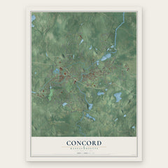
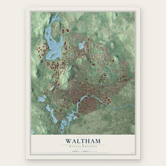
More maps nearby: Lexington, Weston, West Concord, Wayland and Bedford.
The art of mapping a place
How This Map Was Made
Real places. Remarkable detail. Discover the layers that turn geographic data into a map of home.

The view from above
Aerial imagery reveals the character of the land: woodland, open fields, and the patterns of a place.

The shape of the land
Elevation data brings hills, valleys, and subtle changes in the landscape into view.

The details of home
Roads, waterways, and building footprints come together to make the map feel unmistakably local.

Geography becomes art
Considered color, shading, and typography bring the layers together in a map made for your wall.


Process illustrated with Mendon, Massachusetts. Aerial imagery: USDA NAIP. Terrain: USGS 3D Elevation Program. Map details and finished artwork: KNOWOL.
The Details
About This Print
Choose an archival matte print, or a black or white Ayous wood frame. The archival matte print is unframed.
Select your size and finish above to see the matching product image and price.
Materials & Craftsmanship
A contemporary map with the character of a classic atlas, printed on archival matte paper. Optional frames are made from Ayous wood.
Your printed map does not include the watermark shown in the full-map preview.
Shipping & Delivery
Free shipping within the United States. Every print is made to order in the USA.
Buying a gift? Add a note in your cart and we'll include it. We never put prices in the package.
Prints ship within 2 to 3 business days. Allow 7 to 10 days total from ordering for delivery. Timing may vary during holidays or periods of high order volume.
Read our shipping policy.
Returns and damaged prints
Each print is made to order. Change-of-mind refunds are not available after production.
If your print arrives damaged, misprinted or incorrect, contact support@knowol.com within 30 days of receiving it. Include your order number, photos and a description of the issue.
Read our full refund and replacement policy. For questions about your order, email support@knowol.com.