
Search for another town




Free U.S. delivery 7 to 10 days after you order
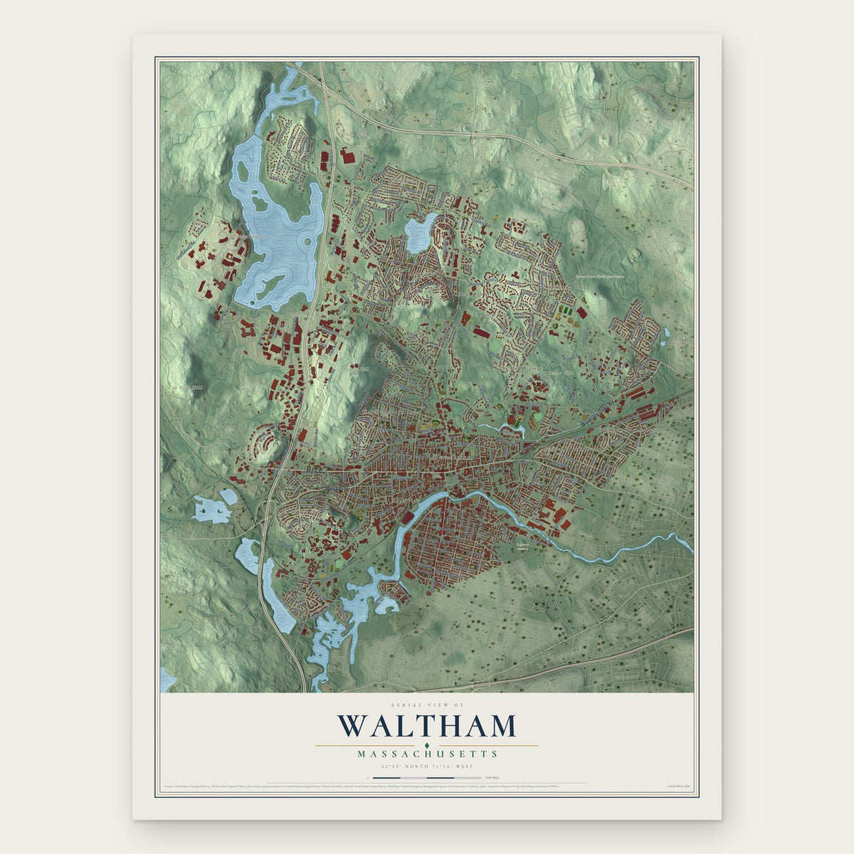
Waltham, Massachusetts Map Art
Building by building, with labeled streets and shaded relief.
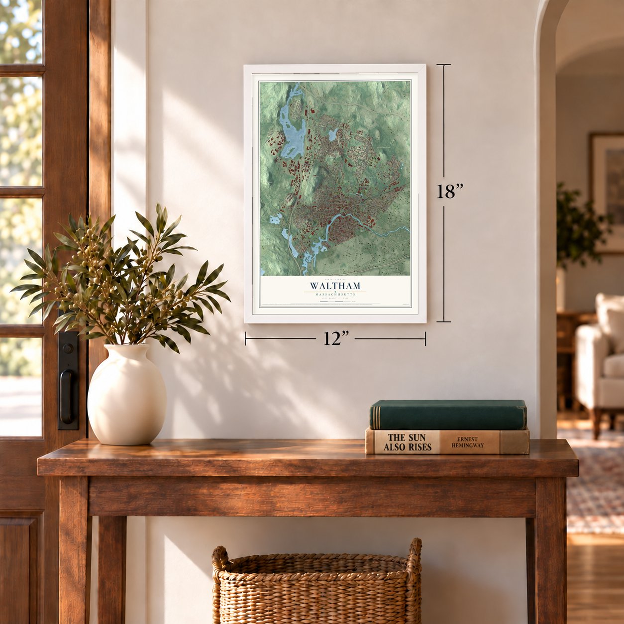
12" x 18" Archival Matte Print
A Map of Home. A Work of Art.
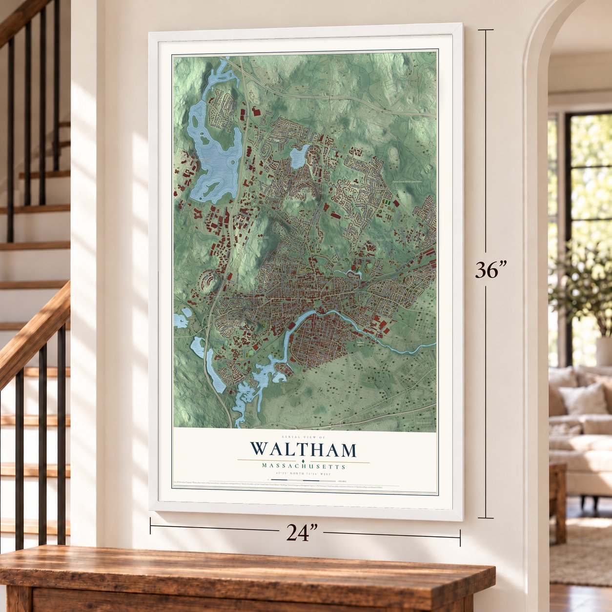
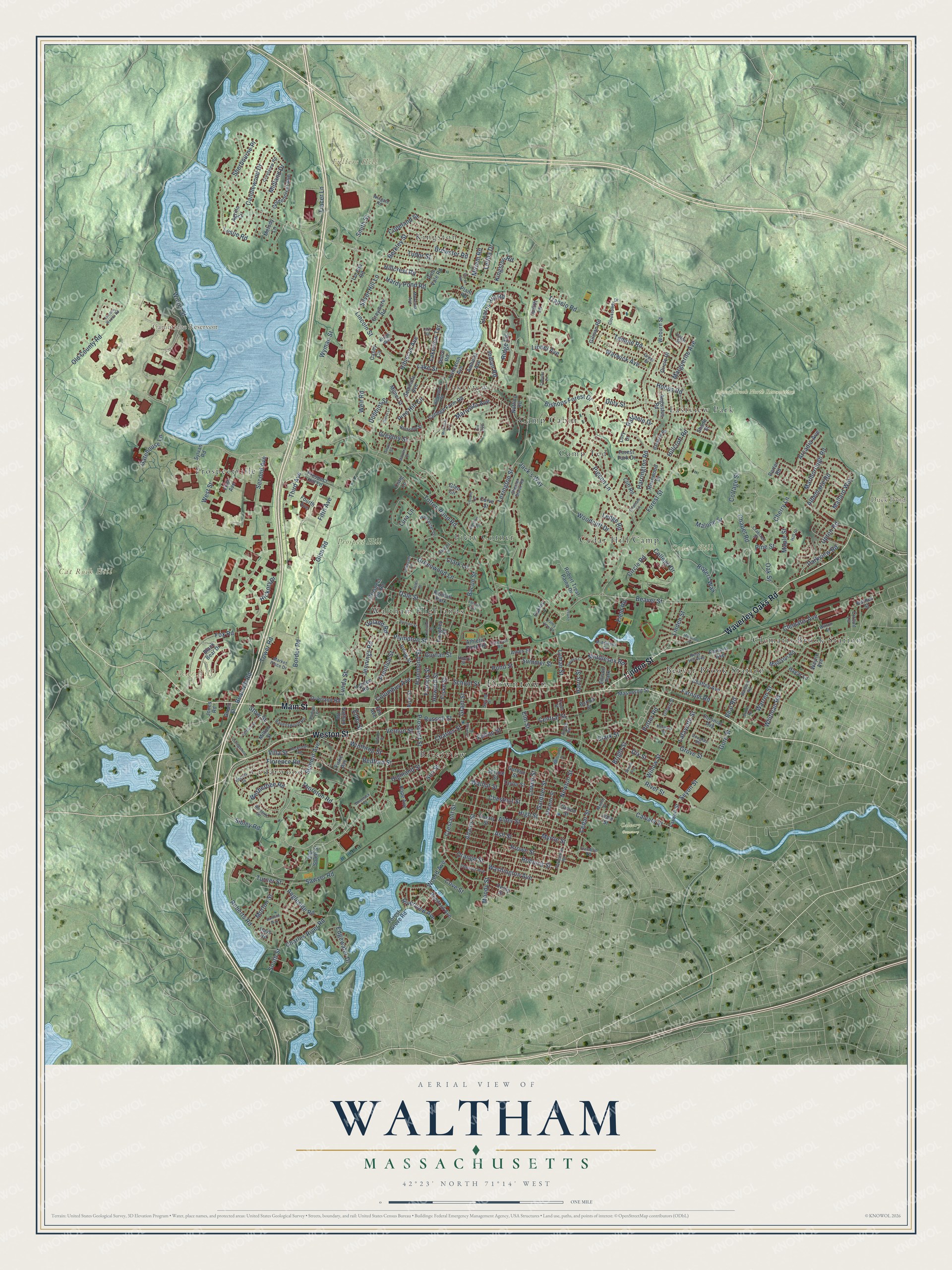
Explore Waltham, Massachusetts from a whole new perspective. Created using aerial imagery and detailed geographic data, this map captures Waltham building by building, with labeled streets, familiar landmarks, and shaded topographical relief that highlights the natural contours of the landscape.
Combining modern data with the timeless character of a vintage atlas, this map is just as interesting up close as it is beautiful on the wall. Whether you grew up in Waltham, spent memorable years there, or call it home today, this unique map is a great way to celebrate a place that means something to you. Zoom in on the preview to look for your street, and then order a print to put your memories on the wall.
Three ways to hang it
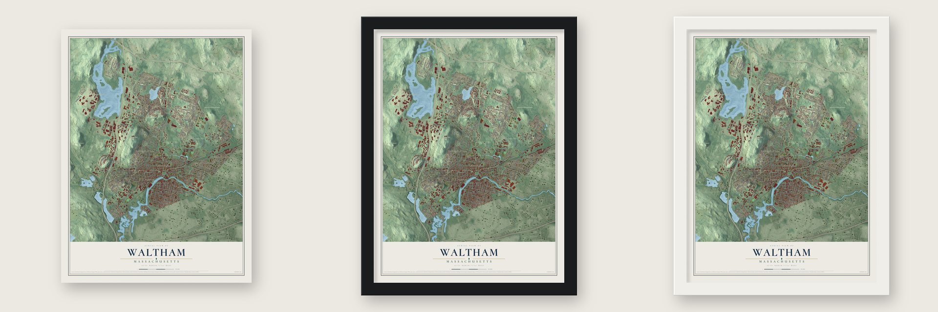
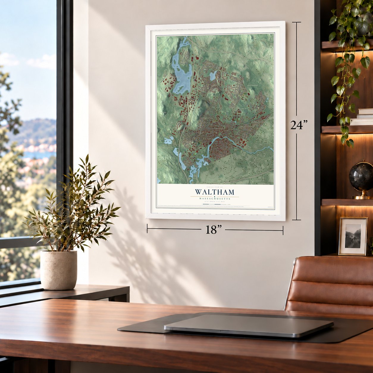
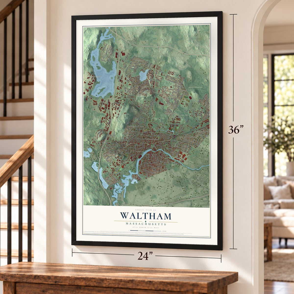
Unframed archival matte, a black wood frame or a white wood frame.
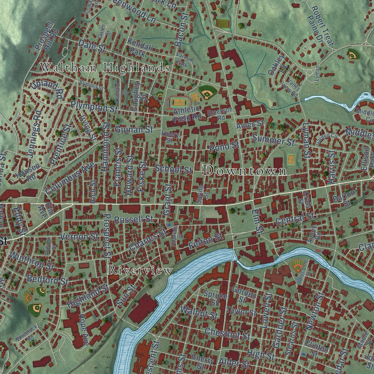
Up close
Geography Worth Displaying
This map was created using accurate cartographic data and authoritative geographic sources, including the U.S. Geological Survey (USGS) and FEMA. The map brings together terrain, waterways, roads, and building detail. The majority of the streets are labeled, houses are accurately depicted, and the topography is derived from government sources. Combining local data with carefully composed color and shading leads to this beautifully detailed Waltham artwork for your wall.
Rather than simply showing street outlines, we’ve included as many of the street names as we could reasonably fit on the map while keeping their names legible. Zoom in on the high resolution preview to see exactly what’s on the map. We truly set out to create a statement piece for anyone who loves Waltham. So whether it’s for you, or a gift for someone you love, we hope this map of Waltham brings back fond memories.
Explore the full map of Waltham, Massachusetts and read about the local places it shows.

Find your street
Names on the Waltham map
Every name below is printed on this map. Look for your street, your school, the park where you played, or the pond down the road.
Places and landmarks26
- Downtown
- Bear Hill
- Cat Rock Hill
- Cedar Hill
- Fullers Hill
- Cambridge Reservoir
- Duck Pond
- Beaver Brook North Reservation
- Calvary Cemetery
- Prospect Hill Park
- Lakeview
- Beaver Brook Station
Show all 26 places
- Piety Corner
- Riverview
- Cedarwood
- Camp Ted
- Prospectville
- Kingston
- Clematis Brook Station
- Eastview Park
- Waltham Highlands
- Cedar Hill Camp
- Camp Cabot
- Ellison Park
- Kendall Park
- Varnum Park
Streets and roads308
- Main Street
- Waverley Oaks Road
- Weston Street
- Linden Street
- Upland Road
- Robbins Street
- Plympton Street
- Moody Street
- Arcadia Avenue
- Trapelo Road
- Winter Street
- Lexington Street
- Beaver Street
- Lincoln Street
- South Street
- Glen Road
- Forest Street
- Totten Pond Road
- Wyman Street
- Newton Street
- River Street
- Crescent Street
- Bacon Street
- College Drive
- Pine Street
- Lake Street
- Grove Street
- Florence Road
- Warren Street
- Second Avenue
Show all 308 streets
- School Street
- Stearns Hill Road
- Bear Hill Road
- Third Avenue
- Dale Street
- Ash Street
- Bishops Forest Drive
- Rogers Way
- Temple Road
- Thornton Road
- Ridge Lane
- Lowell Street
- Beal Road
- Sibley Road
- Charles Street
- Brown Street
- Maple Street
- Calvary Street
- Fox Road
- Cottage Street
- High Street
- Smith Street
- Adams Street
- Hardy Pond Road
- Prospect Street
- Chapel Road
- Doty Street
- Harrington Road
- Woodcliff Drive
- Tower Road
- Felton Street
- Chestnut Street
- Pine Hill Circle
- Hammond Street
- Willow Street
- Villa Street
- Pigeon Lane
- Berkley Street
- Charles River Road
- Elm Street
- Oak Street
- Mallard Way
- Marguerite Avenue
- Lyman Street
- Copeland Street
- West Street
- Riverview Avenue
- Summer Street
- Fifth Avenue
- Bedford Street
- Lura Lane
- Bright Street
- Old County Road
- Russell Street
- Myrtle Street
- Alder Street
- Greenwood Lane
- Brewster Road
- Hibiscus Avenue
- Cherry Lane
- Clark Street
- Farnum Road
- Tracer Lane
- Clark Lane
- Candlewood Drive
- Kingston Road
- Vernon Street
- Warwick Avenue
- Cedar Street
- Angleside Road
- Woerd Avenue
- Marivista Avenue
- Stow Street
- Pond Street
- Edgewater Drive
- Albemarle Road
- Marlborough Road
- Middlesex Road
- Indian Road
- Summit Avenue
- Washington Avenue
- Whitman Road
- Parkview Road
- Seyon Street
- Central Street
- Hobbs Road
- Upton Road
- Midland Drive
- Roberts Road
- Gregory Street
- Prentice Street
- Raffaele Drive
- Sherbourne Place
- Hickory Drive
- Columbus Avenue
- Wetherbee Road
- Dobbins Street
- Gatehouse Lane
- Circle Road
- Orange Street
- Howard Street
- Lunda Street
- Gore Street
- Lakeview Terrace
- Lafayette Street
- Fiske Street
- Sawyer Road
- Grant Street
- Jack's Way
- Morton Street
- Hillcrest Road
- Gardner Street
- Clematis Avenue
- Winthrop Street
- Potter Road
- Silver Hill Lane
- Francis Street
- Jennings Road
- Miriam Road
- Guinan Street
- Malone Street
- Hillcroft Road
- Highland Street
- Ledge Road
- Tudor Street
- Dix Street
- Turner Street
- Leitha Drive
- Border Road
- Walnut Street
- Lionel Avenue
- Cove Street
- Leslie Road
- Sun Street
- Weir Road
- Field Road
- Harris Street
- Eddy Street
- Clinton Street
- Athletic Field Road
- John Street
- Prospect Hill Road
- College Farm Road
- Chaffee Avenue
- Seminole Avenue
- Black Bear Drive
- Princeton Avenue
- Circle Drive
- Massasoit Street
- Colonial Avenue
- Taylor Street
- Amherst Avenue
- Graymore Road
- Milton Street
- Old South Street
- Irving Street
- Cherry Street
- Milner Street
- Prospect Hill Lane
- Forest Grove Road
- Sylvan Road
- First Avenue
- Robert Treat Paine Drive
- Fiske Avenue
- Forest Park Drive
- Goldencrest Avenue
- Fourth Avenue
- Rumford Avenue
- Rich Street
- Hope Avenue
- Overland Road
- Rosewood Drive
- Caughey Street
- Agrillo Circle
- Oakley Lane
- Porter Road
- Augustus Road
- Loretta Road
- Gilman Road
- Madison Road
- Woburn Street
- Wayne Avenue
- Parsons Avenue
- Curve Street
- Stearns Street
- Farwell Street
- Nathan Road
- Shore Road
- Hays Road
- Hansen Road
- Derby Street
- Spruce Street
- Cliff Road
- Hagar Lane
- Pine Vale Road
- Gordon Street
- Barton Street
- Glen Circle
- Plant Road
- Ames Street
- Nutting Road
- Melody Lane
- Jones Road
- Shade Street
- Barnes Street
- Judith Lane
- Circuit Lane
- Casey Circle
- Green Street
- Craig Lane
- Lory Drive
- Elm Avenue
- Hamblin Road
- Worcester Lane
- Barbara Road
- Clocktower Drive
- Mokema Avenue
- Rose Hill Way
- Ravenswood Road
- Greer Street
- Hillcrest Street
- Parmenter Road
- Hatherly Road
- Middlesex Circle
- Crestview Road
- Market Place Drive
- Crabtree Street
- Fir Avenue
- Gilbert Street
- Chester Avenue
- Hill Street
- Blossom Street
- Helen Street
- Emerson Road
- Spring Street
- Chester Brook Road
- Amory Road
- Philips Terrace
- Cross Street
- Moore Street
- Douglas Road
- Wingate Road
- Kings Way
- Emery Street
- Wilton Street
- Virginia Road
- Lincoln Woods Road
- Montclair Avenue
- Summit Street
- Rockridge Road
- Galen Street
- Bruce Road
- Marianne Road
- Colburn Street
- Chester Lane
- Westgate Road
- Garden Circle
- School Avenue
- Valley View Road
- Wheelock Road
- Auburn Street
- Sanders Lane
- Kenmore Road
- Cheryl Lane
- Malvern Street
- Livingstone Lane
- Leonard Street
- Lake Road
- Whitcomb Street
- Cowasset Lane
- Grove Road
- Bigelow Road
- Lyman
- Smart Street
- Chatham Lane
- Banford Way
- Fountain Street
- Lincoln Terrace
Names are listed as they appear on the printed map. Zoom into the product photos to find them.
About Waltham, Massachusetts
Waltham's recorded European settlement began in 1634, and the community became an incorporated Massachusetts town in 1738. It later received city status in 1884, and the 2020 census counted 65,218 residents.
- Settlement in 1634European settlement in Waltham began in 1634.
- Incorporated in 1738Waltham became an incorporated Massachusetts town in 1738.
- A city since 1884Waltham received its city incorporation in 1884.
- 65,218 residentsThe 2020 census counted 65,218 people in Waltham.
Keep exploring Massachusetts
Waltham is one of 461 Massachusetts towns we've mapped. Every dot on the map is a print of its own.
The search covers every state, Massachusetts first.
Near Waltham
Order 2 or more town maps and save 10%. Shown in the size and finish you picked above, so they hang as a set.
- Hastings 12" x 18" / Archival Matte Print $39.99
- Belmont 12" x 18" / Archival Matte Print $39.99
- Watertown 12" x 18" / Archival Matte Print $39.99

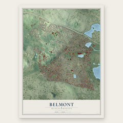
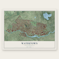
More maps nearby: Weston, Lexington, Newton, Lincoln and Arlington.
The art of mapping a place
How This Map Was Made
Real places. Remarkable detail. Discover the layers that turn geographic data into a map of home.

The view from above
Aerial imagery reveals the character of the land: woodland, open fields, and the patterns of a place.

The shape of the land
Elevation data brings hills, valleys, and subtle changes in the landscape into view.

The details of home
Roads, waterways, and building footprints come together to make the map feel unmistakably local.

Geography becomes art
Considered color, shading, and typography bring the layers together in a map made for your wall.


Process illustrated with Mendon, Massachusetts. Aerial imagery: USDA NAIP. Terrain: USGS 3D Elevation Program. Map details and finished artwork: KNOWOL.
The Details
About This Print
Choose an archival matte print, or a black or white Ayous wood frame. The archival matte print is unframed.
Select your size and finish above to see the matching product image and price.
Materials & Craftsmanship
A contemporary map with the character of a classic atlas, printed on archival matte paper. Optional frames are made from Ayous wood.
Your printed map does not include the watermark shown in the full-map preview.
Shipping & Delivery
Free shipping within the United States. Every print is made to order in the USA.
Buying a gift? Add a note in your cart and we'll include it. We never put prices in the package.
Prints ship within 2 to 3 business days. Allow 7 to 10 days total from ordering for delivery. Timing may vary during holidays or periods of high order volume.
Read our shipping policy.
Returns and damaged prints
Each print is made to order. Change-of-mind refunds are not available after production.
If your print arrives damaged, misprinted or incorrect, contact support@knowol.com within 30 days of receiving it. Include your order number, photos and a description of the issue.
Read our full refund and replacement policy. For questions about your order, email support@knowol.com.