
Search for another town




Free U.S. delivery 7 to 10 days after you order
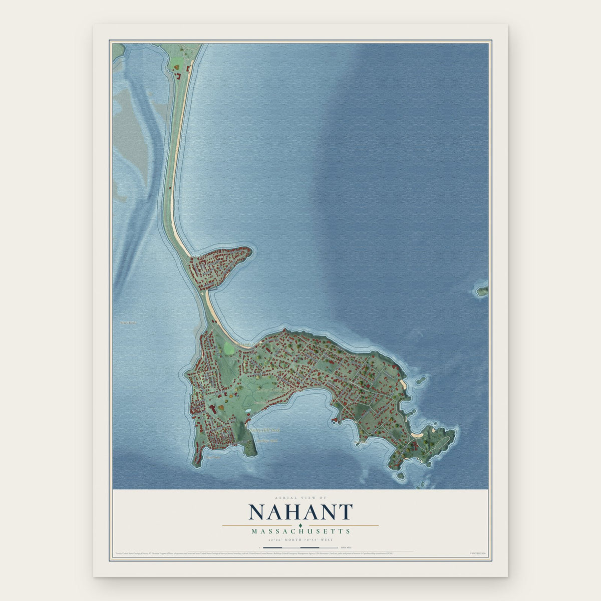
Nahant, Massachusetts Map Art
Building by building, with labeled streets and shaded relief.
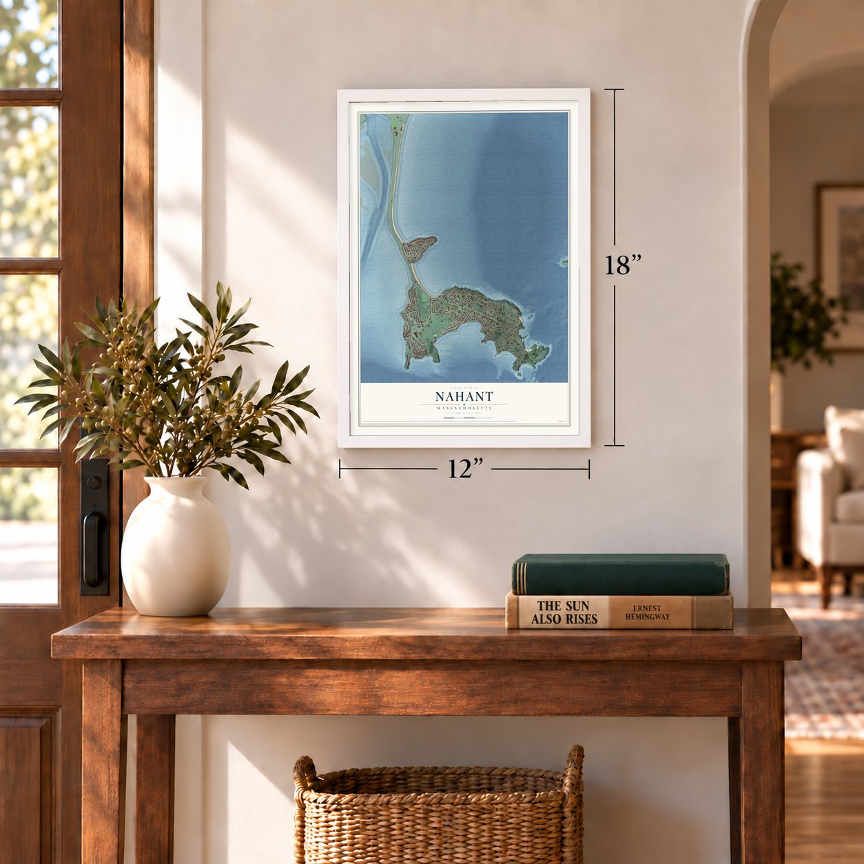
12" x 18" Archival Matte Print
A Map of Home. A Work of Art.
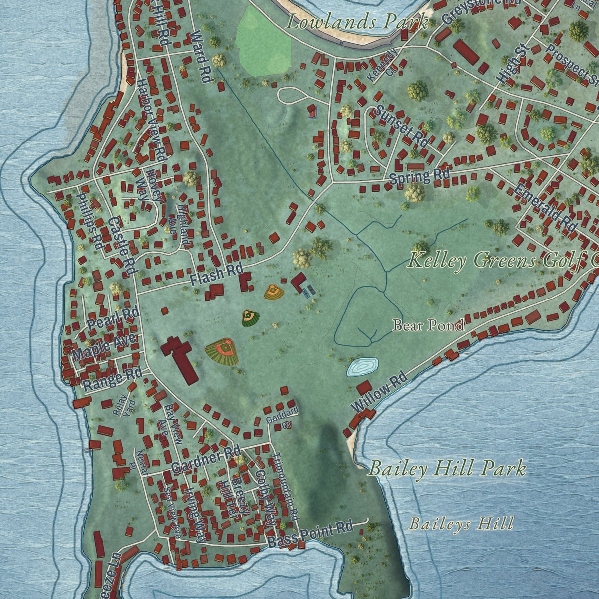
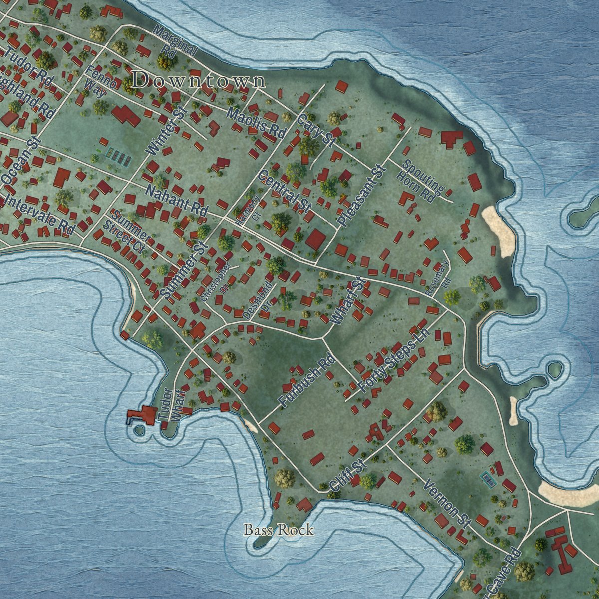
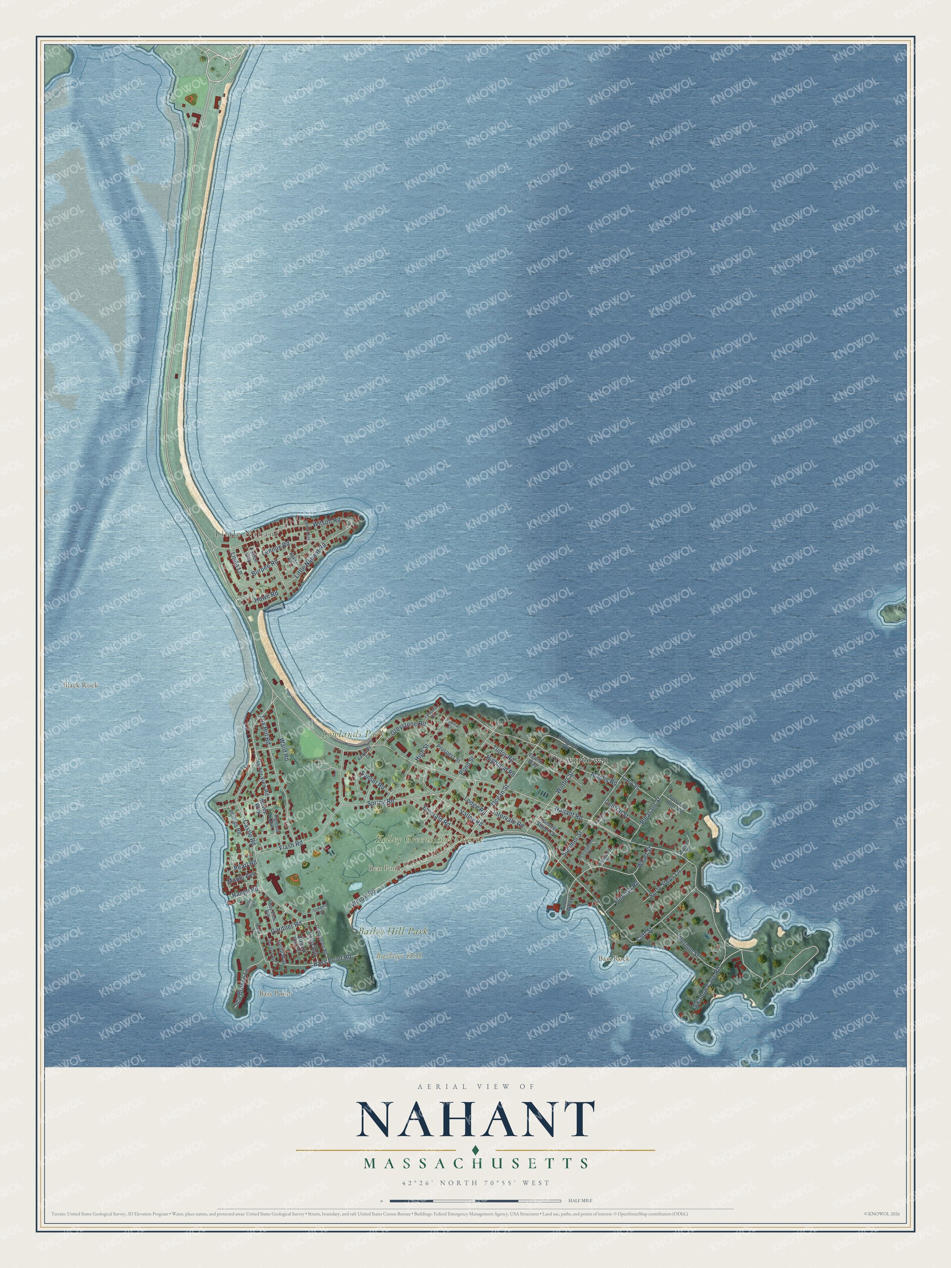
Explore Nahant, Massachusetts from a whole new perspective. Created using aerial imagery and detailed geographic data, this map captures Nahant building by building, with labeled streets, familiar landmarks, and shaded topographical relief that highlights the natural contours of the landscape.
Combining modern data with the timeless character of a vintage atlas, this map is just as interesting up close as it is beautiful on the wall. Whether you grew up in Nahant, spent memorable years there, or call it home today, this unique map is a great way to celebrate a place that means something to you. Zoom in on the preview to look for your street, and then order a print to put your memories on the wall.
Three ways to hang it
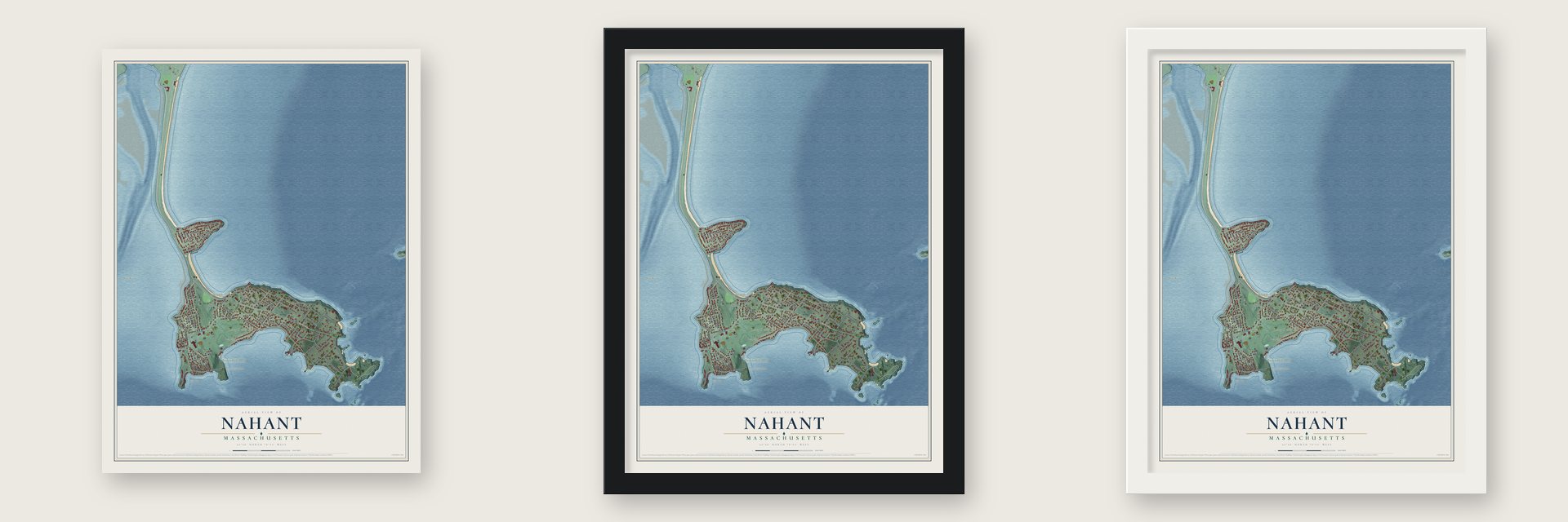
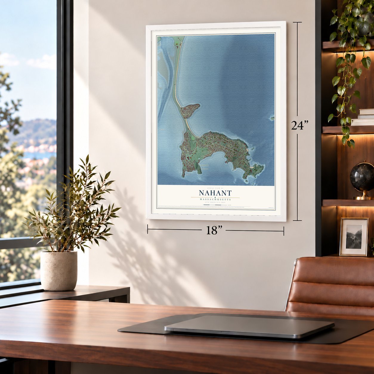
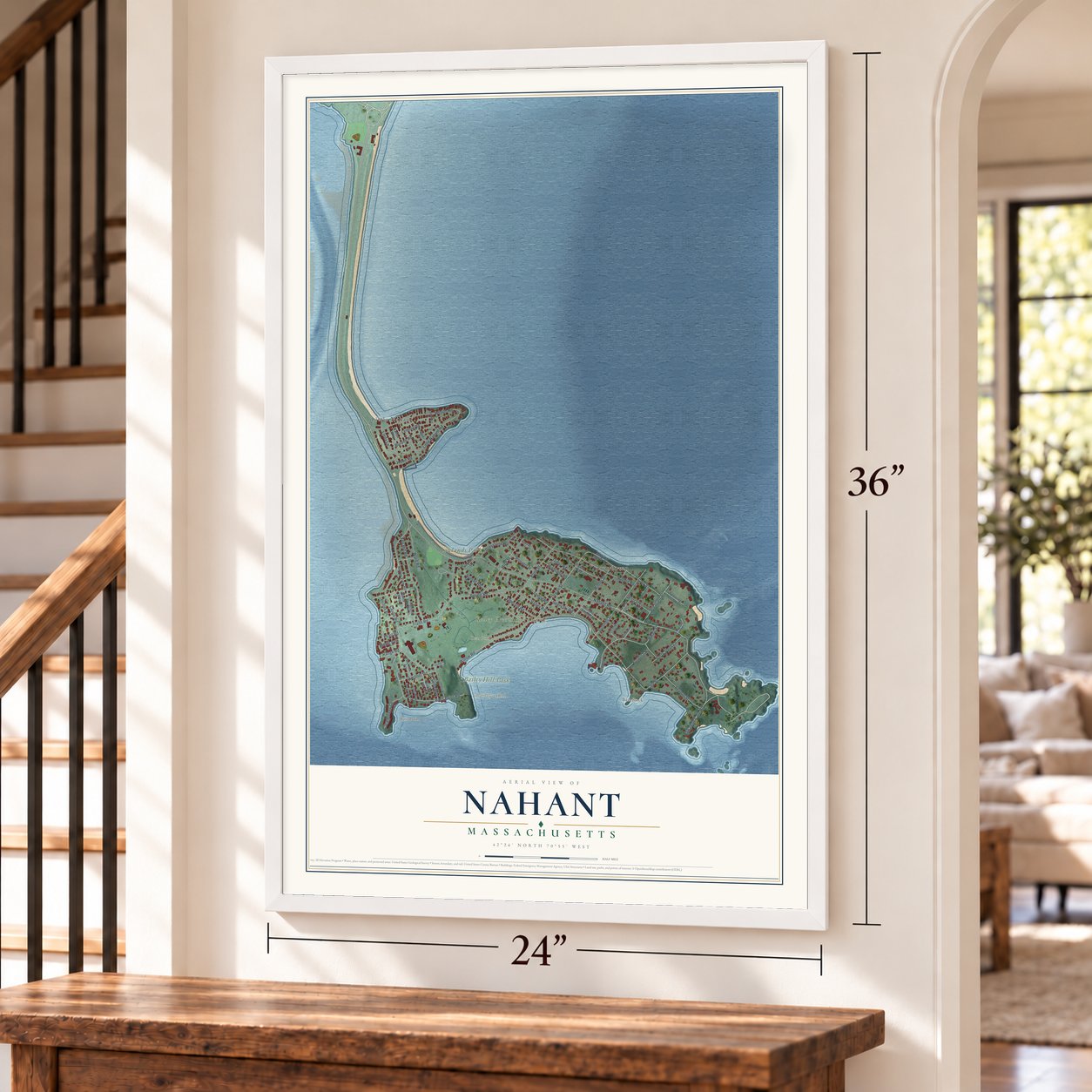
Unframed archival matte, a black wood frame or a white wood frame.
Up close
Geography Worth Displaying
This map was created using accurate cartographic data and authoritative geographic sources, including the U.S. Geological Survey (USGS) and FEMA. The map brings together terrain, waterways, roads, and building detail. The majority of the streets are labeled, houses are accurately depicted, and the topography is derived from government sources. Combining local data with carefully composed color and shading leads to this beautifully detailed Nahant artwork for your wall.
Rather than simply showing street outlines, we’ve included as many of the street names as we could reasonably fit on the map while keeping their names legible. Zoom in on the high resolution preview to see exactly what’s on the map. We truly set out to create a statement piece for anyone who loves Nahant. So whether it’s for you, or a gift for someone you love, we hope this map of Nahant brings back fond memories.
Explore the full map of Nahant, Massachusetts and read about the local places it shows.
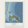
Find your street
Names on the Nahant map
Every name below is printed on this map. Look for your street, your school, the park where you played, or the pond down the road.
Places and landmarks10
- Downtown
- Little Nahant
- Baileys Hill
- Bass Point
- Bass Rock
- Black Rock
- Bear Pond
- Kelley Greens Golf Course
- Lowlands Park
- Bailey Hill Park
Streets and roads71
- Nahant Road
- Gardner Road
- Ocean Street
- Swallow Cave Road
- Burpee Road
- Willow Road
- Castle Road
- Little Nahant Road
- Maolis Road
- Spring Road
- Wilson Road
- Summer Street
- Fox Hill Road
- Pond Street
- Bass Point Road
- Wharf Street
- Valley Road
- Flash Road
- Winter Street
- Cliff Street
- Vernon Street
- Pleasant Street
- Sunset Road
- High Street
- Emerald Road
- Lennox Road
- Greystone Road
- Sea Breeze Lane
- Ward Road
- Forty Steps Lane
Show all 71 streets
- Linda Lane
- Furbush Road
- Intervale Road
- Highland Road
- Tudor Road
- Central Street
- Cary Street
- Maple Avenue
- Range Road
- Pearl Road
- Howe Road
- Lodge Road
- Marginal Road
- Colby Way
- Fenno Way
- Prospect Street
- Phillips Road
- Summer Street Court
- Harbor View Road
- Fallon Way
- Irving Way
- Spouting Horn Road
- Hovey Way
- Breezy Hill Terrace
- Tudor Wharf
- Baker Road
- Highland Avenue
- Trimountain Road
- Bay View Avenue
- Lenox Avenue
- Desmond Drive
- Kennedy Court
- Christopher Drive
- Sea View Avenue
- Relay Yard
- Harmony Court
- Rosemary Road
- Lafayette Terrace
- Goddard Drive
- Nautical Lane
- Nectar Place
Names are listed as they appear on the printed map. Zoom into the product photos to find them.
About Nahant, Massachusetts
Nahant is a town of 3,334 people in Essex County, set on two near-islands, Little Nahant and Big Nahant, that a sandy tombolo ties to Lynn. In 1630 Isaac Johnson's servants brought his cattle out to graze here, and Lynn families soon used the land as pasture for cattle, sheep and goats. Around 1632 the sachem Poquanum, whom the English called Blacke William, let Thomas Dexter use the island in return for an English suit.
Before 1800 Nahant had only three houses. A member of the Johnson family opened its first hotel in 1802, and daily steamboat trips from Boston had begun by 1817, so the island grew into a summer resort. Nahant still belonged to Lynn then. In 1853, when the temperance movement threatened the resort trade, it split off and incorporated as a town of its own.
“all along this coast there is much cleared land sewn with Indian corn.”
- The Ice King's treesFrederic Tudor, who grew rich shipping pond ice from New England as far as India, put up a summer cottage in the middle of Nahant in 1825. The island had no trees, so he spent the rest of his life planting them. By 1832 his nursery held 3,358, and he gave them away to summer residents willing to put them in the ground. His family's grounds became the Nahant Country Club.
- The Lodge house on Cliff StreetThe brick Lodge family home at 5 Cliff Street, finished in stucco and ringed by a two-story veranda in a West Indies style, is where Senator Henry Cabot Lodge spent the boyhood he later recalled. The house is now a National Historic Landmark. Henry Cabot Lodge Jr., the senator's grandson, who carried the same name, was born in Nahant in 1902.
- Guns at East PointIn 1917 the Army took over East Point, land that had belonged to the Lodge family. In World War II its batteries made Nahant the most heavily armed stretch of Boston's coast defenses, and in the Cold War the site held Nike missiles meant to stop a nuclear attack on Boston. Since 1967 it has been Northeastern University's Marine Science Center.
- A life-saving station from 1900The Nahant Life-Saving Station was built in 1900 on the stretch between Little Nahant and the rest of town. It has a square tower, and doors on each side let crews launch boats toward whichever shore needed them. It stayed in Coast Guard hands until 1964. The town took it over in 1999 and renovated it in 2004, together with the new War Memorial across the street.
- The road across Long BeachThe one road onto Nahant crosses the isthmus beside 7,000-foot Long Beach. In the early 1900s the Metropolitan District Commission bought that shoreline and cleared away its buildings, the Hotel Nahant among them, so the public could reach the beaches. The road, once named Nahant Beach Boulevard, joined the National Register in 2003.
Keep exploring Massachusetts
Nahant is one of 461 Massachusetts towns we've mapped. Every dot on the map is a print of its own.
The search covers every state, Massachusetts first.
Near Nahant
Order 2 or more town maps and save 10%. Shown in the size and finish you picked above, so they hang as a set.
- Revere 12" x 18" / Archival Matte Print $39.99
- Winthrop 12" x 18" / Archival Matte Print $39.99
- Swampscott 12" x 18" / Archival Matte Print $39.99


More maps nearby: Lynn, Chelsea, East Boston, Saugus and Salem.
The art of mapping a place
How This Map Was Made
Real places. Remarkable detail. Discover the layers that turn geographic data into a map of home.

The view from above
Aerial imagery reveals the character of the land: woodland, open fields, and the patterns of a place.

The shape of the land
Elevation data brings hills, valleys, and subtle changes in the landscape into view.

The details of home
Roads, waterways, and building footprints come together to make the map feel unmistakably local.

Geography becomes art
Considered color, shading, and typography bring the layers together in a map made for your wall.


Process illustrated with Mendon, Massachusetts. Aerial imagery: USDA NAIP. Terrain: USGS 3D Elevation Program. Map details and finished artwork: KNOWOL.
The Details
About This Print
Choose an archival matte print, or a black or white Ayous wood frame. The archival matte print is unframed.
Select your size and finish above to see the matching product image and price.
Materials & Craftsmanship
A contemporary map with the character of a classic atlas, printed on archival matte paper. Optional frames are made from Ayous wood.
Your printed map does not include the watermark shown in the full-map preview.
Shipping & Delivery
Free shipping within the United States. Every print is made to order in the USA.
Buying a gift? Add a note in your cart and we'll include it. We never put prices in the package.
Prints ship within 2 to 3 business days. Allow 7 to 10 days total from ordering for delivery. Timing may vary during holidays or periods of high order volume.
Read our shipping policy.
Returns and damaged prints
Each print is made to order. Change-of-mind refunds are not available after production.
If your print arrives damaged, misprinted or incorrect, contact support@knowol.com within 30 days of receiving it. Include your order number, photos and a description of the issue.
Read our full refund and replacement policy. For questions about your order, email support@knowol.com.