
Search for another town




Free U.S. delivery 7 to 10 days after you order
Revere, Massachusetts Map Art
Building by building, with labeled streets and shaded relief.
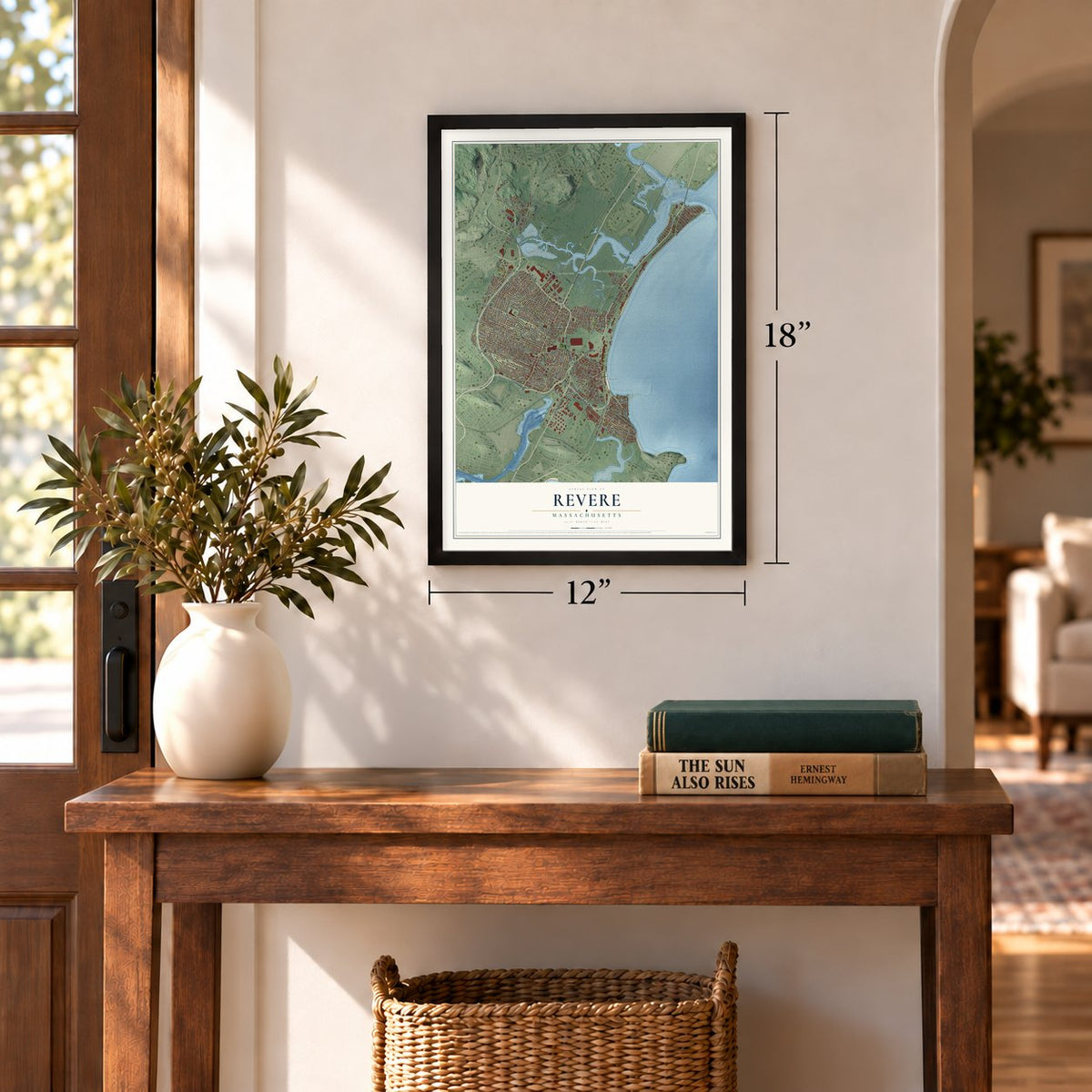
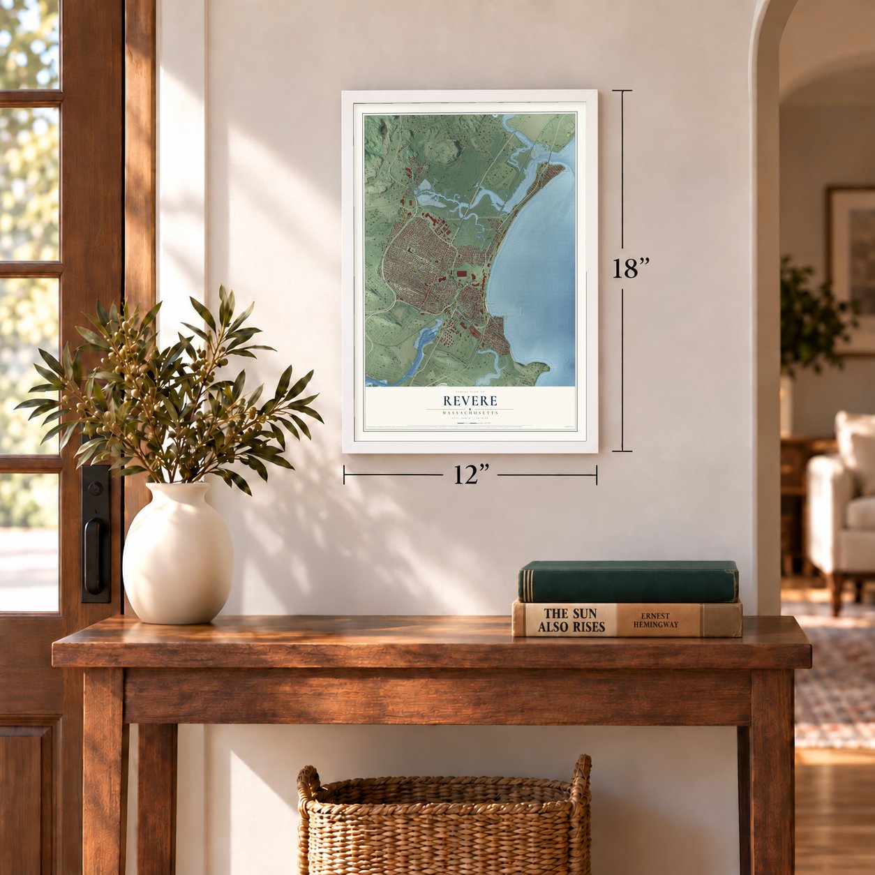
12" x 18" Archival Matte Print
A Map of Home. A Work of Art.
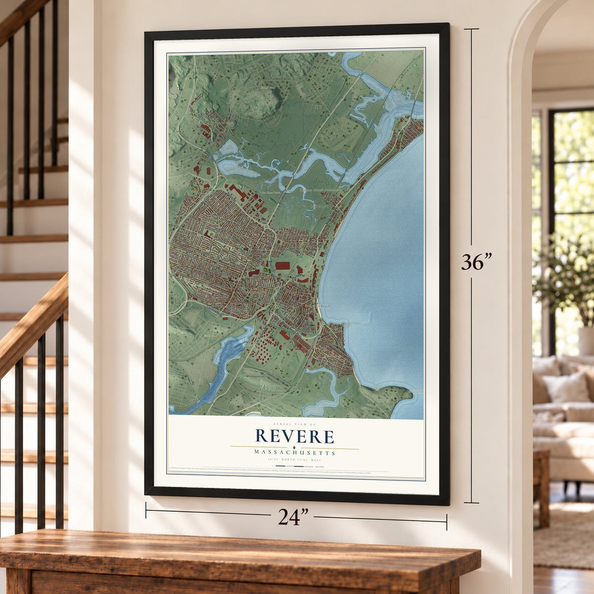
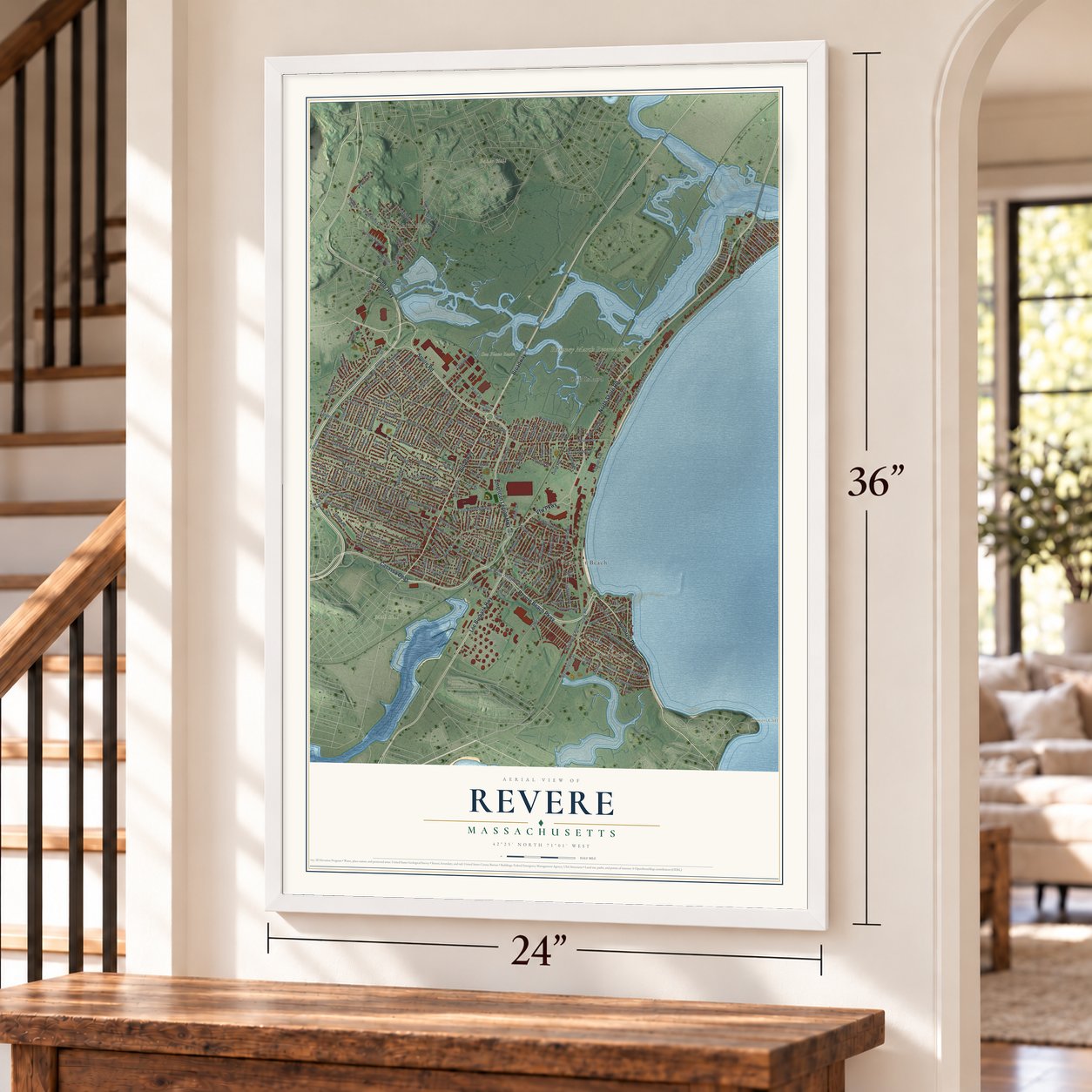
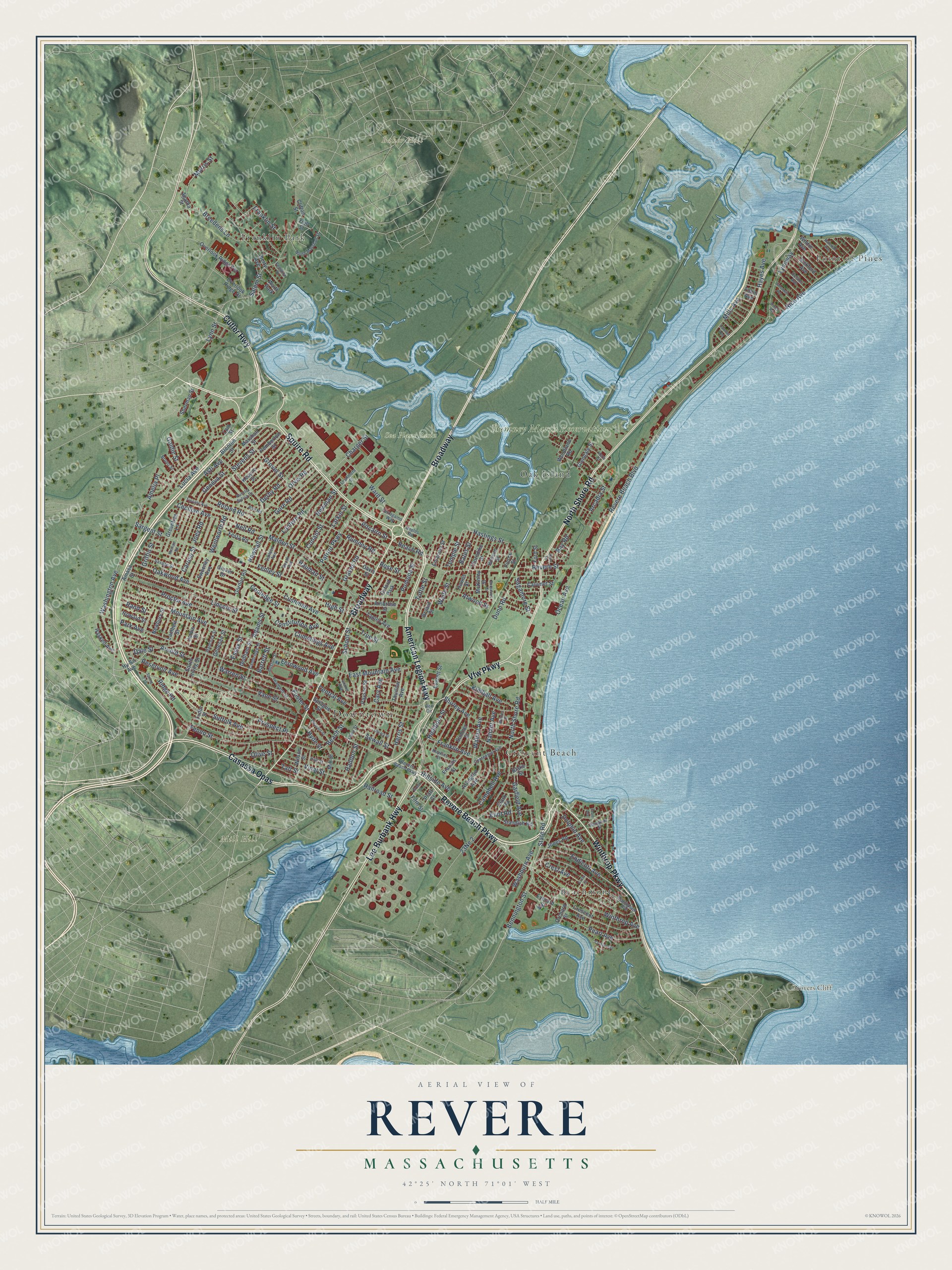
Explore Revere, Massachusetts from a whole new perspective. Created using aerial imagery and detailed geographic data, this map captures Revere building by building, with labeled streets, familiar landmarks, and shaded topographical relief that highlights the natural contours of the landscape.
Combining modern data with the timeless character of a vintage atlas, this map is just as interesting up close as it is beautiful on the wall. Whether you grew up in Revere, spent memorable years there, or call it home today, this unique map is a great way to celebrate a place that means something to you. Zoom in on the preview to look for your street, and then order a print to put your memories on the wall.
Three ways to hang it
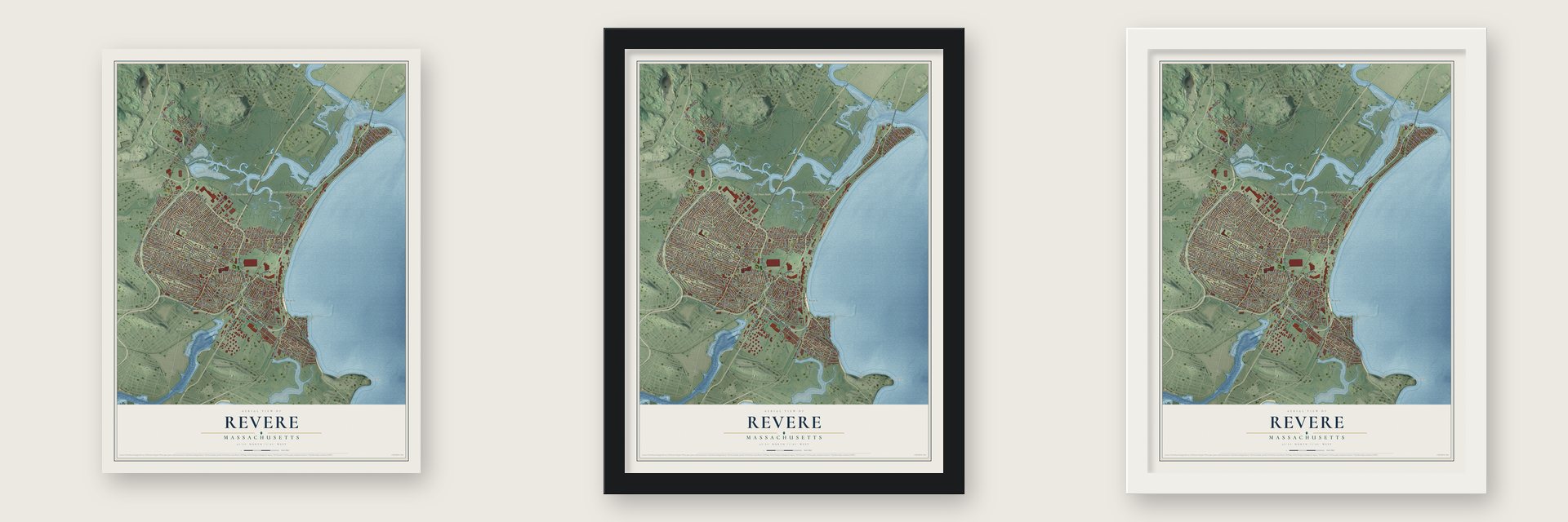
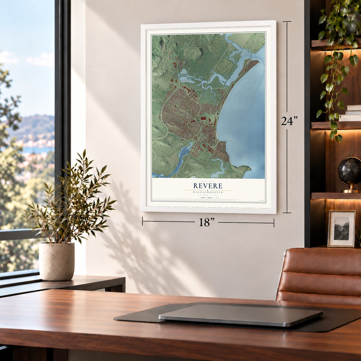
Unframed archival matte, a black wood frame or a white wood frame.
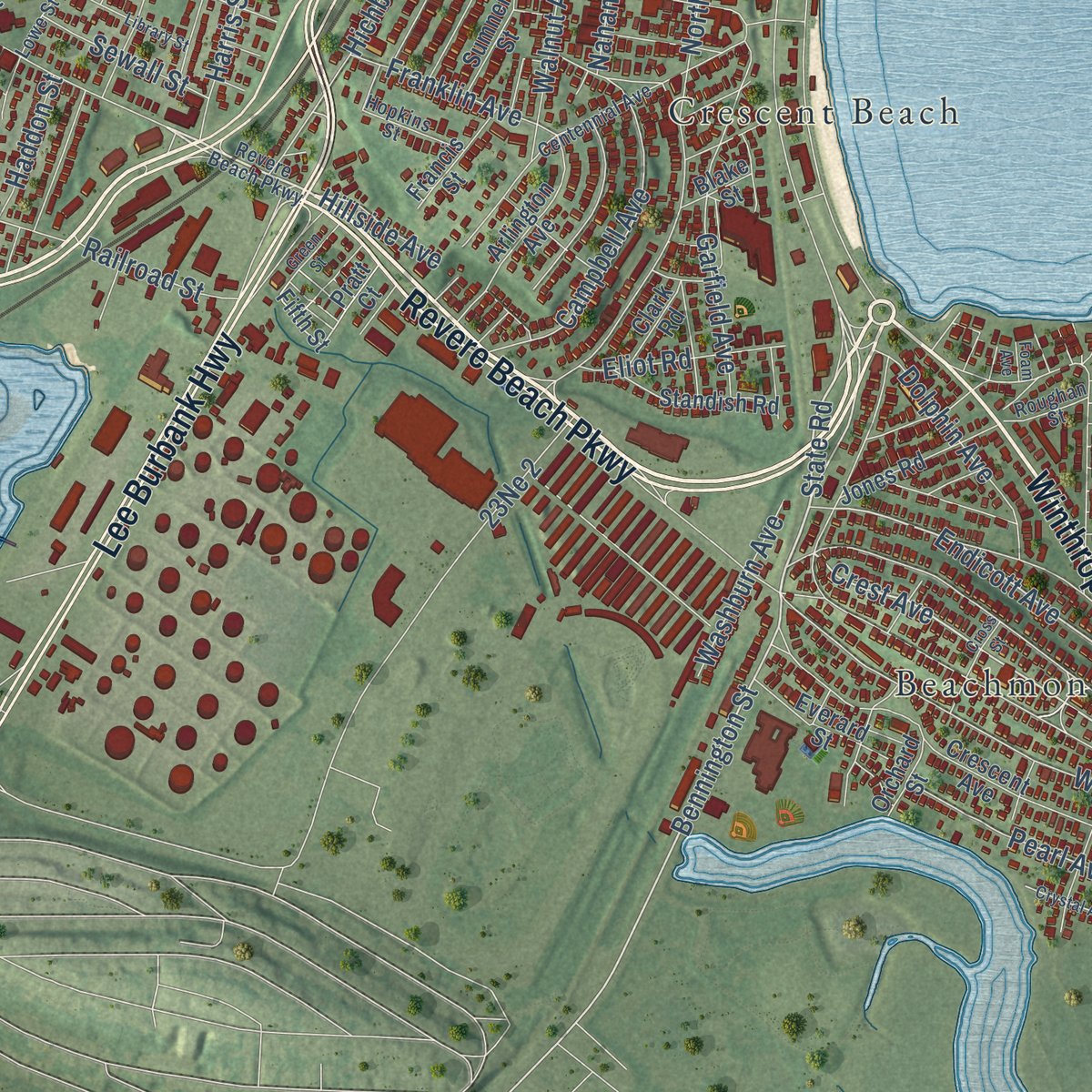
Up close
Geography Worth Displaying
This map was created using accurate cartographic data and authoritative geographic sources, including the U.S. Geological Survey (USGS) and FEMA. The map brings together terrain, waterways, roads, and building detail. The majority of the streets are labeled, houses are accurately depicted, and the topography is derived from government sources. Combining local data with carefully composed color and shading leads to this beautifully detailed Revere artwork for your wall.
Rather than simply showing street outlines, we’ve included as many of the street names as we could reasonably fit on the map while keeping their names legible. Zoom in on the high resolution preview to see exactly what’s on the map. We truly set out to create a statement piece for anyone who loves Revere. So whether it’s for you, or a gift for someone you love, we hope this map of Revere brings back fond memories.
Explore the full map of Revere, Massachusetts and read about the local places it shows.

Find your street
Names on the Revere map
Every name below is printed on this map. Look for your street, your school, the park where you played, or the pond down the road.
Places and landmarks14
- Downtown
- Baker Hill
- Fennos Hill
- Grovers Cliff
- Mill Hill
- Rumney Marsh Reservation
- Sea Plane Basin
- Point of Pines
- Franklin Park
- Crescent Beach
- Beachmont
- Oak Island
Show all 14 places
- Oxford Park
- Waitt Park
Streets and roads229
- Revere Beach Parkway
- Winthrop Parkway
- Casassa Opas
- Squire Road
- Broadway
- North Shore Road
- Lee Burbank Highway
- American Legion Highway
- Vfw Parkway
- Cutler Highway
- Washington Avenue
- Winthrop Avenue
- Ocean Avenue
- State Road
- Crest Avenue
- Bennington Street
- Temple Street
- Endicott Avenue
- Cushman Avenue
- Oakwood Avenue
- True Street
- Rice Avenue
- Hastings Street
- Revere Beach Boulevard
- Mountain Avenue
- Revere Street
- Beach Street
- Malden Street
- Park Avenue
- Proctor Avenue
Show all 229 streets
- Reservoir Avenue
- Vane Street
- Fenno Street
- Prospect Place
- Suffolk Avenue
- Charger Street
- Rumney Road
- Cooledge Street
- Salem Street
- Sargent Street
- Grover Street
- Lincoln Street
- Ridge Road
- School Street
- Shirley Avenue
- Campbell Avenue
- Walnut Avenue
- Lantern Road
- Harris Street
- Conant Street
- Mills Avenue
- Garfield Avenue
- Lynnway
- Constitution Avenue
- Ward Street
- Pearl Avenue
- Vinal Street
- Arnold Street
- Graves Road
- Taft Street
- Gore Road
- Hichborn Street
- Fenley Street
- Newman Street
- Orvis Road
- Patriot Parkway
- Larkin Street
- Kimball Avenue
- Warren Street
- Morris Street
- Dolphin Avenue
- Roland Road
- Pomona Street
- Derby Road
- Asti Avenue
- Breedens Lane
- Stevens Street
- East Mountain Avenue
- Cary Avenue
- Dale Street
- Lucia Avenue
- Adams Street
- Dunn Road
- Franklin Avenue
- Fernwood Avenue
- High Street
- Eliot Road
- Tuttle Street
- Franklin Street
- Geneva Street
- Sagamore Street
- Pitcairn Street
- Washburn Avenue
- Sewall Street
- Cummings Avenue
- Cecilian Avenue
- Railroad Street
- Bates Street
- Arcadia Street
- Central Avenue
- Lynn Street
- Waite Street
- Bay Road
- Wentworth Road
- Newhall Street
- Atwood Street
- Beach Road
- Olive Street
- Haddon Street
- Griffin Street
- Rand Street
- Nahant Avenue
- Caruso Street
- Hillside Avenue
- Joey Road
- Nell Road
- Goldie Street
- Hayes Avenue
- Hyde Street
- Rose Street
- Hauman Street
- Amelia Place
- Foster Street
- Barrett Street
- Essex Street
- Gordon Road
- Amasa Street
- Overlook Ridge Terrace
- Fifth Street
- Crescent Avenue
- Pemberton Street
- Keayne Street
- Marshall Street
- Davis Street
- Liberty Avenue
- Mill Street
- Whitin Avenue
- Jones Road
- Standish Road
- Tapley Avenue
- Payson Street
- Sprague Street
- Ambrose Street
- Bickford Avenue
- Calumet Street
- Arlington Avenue
- Sumner Street
- Thorndike Street
- Hy-Sil Avenue
- Wilson Street
- Everett Street
- Festa Road
- Thurlow Avenue
- Howard Street
- Overlook Ridge Drive
- Sweeney Avenue
- McKinley Street
- Greentree Lane
- Woodland Road
- Glendale Street
- Bosson Street
- Everard Street
- Francis Street
- Haskell Avenue
- Bryant Street
- South Irving Street
- Emanuel Street
- Lam Street
- Sherman Street
- Tudor Street
- Jarvis Street
- Genesee Street
- Lambert Street
- Dedham Street
- Newbury Street
- Glover Drive
- Brenton Street
- Hawes Street
- Clark Road
- Ford Street
- Orchard Street
- Pratt Court
- Blake Street
- Clifton Street
- Agatha Street
- Pierce Street
- Yuill Street
- Tobin Avenue
- Bellingham Avenue
- Centennial Avenue
- North Marshall Street
- Yeamans Street
- Savage Street
- Delano Avenue
- Aurelia Sylvia Drive
- Carlson Avenue
- South Avenue
- Naples Road
- Lowe Street
- Cambridge Street
- Hancock Street
- Allston Street
- Lechmere Street
- Hopkins Street
- Bruno Street
- Ferragamo Way
- Hall Street
- Ann Road
- Roughan Street
- Grand Avenue
- Vera Street
- Bell Circle
- Fenwick Street
- Library Street
- Tuscano Avenue
- Pleasant Street
- Roosevelt Street
- Bateman Avenue
- Green Street
- Goodwin Avenue
- Crystal Avenue
- Michael Road
- Cross Street
- Spring Avenue
- Lawson Avenue
- Walden Street
- Avon Street
- Pines Road
- Foam Avenue
Names are listed as they appear on the printed map. Zoom into the product photos to find them.
About Revere, Massachusetts
Revere is a city of 62,186 people in Suffolk County, on Massachusetts Bay about five miles northeast of downtown Boston. Colonists called this ground Rumney Marsh, after its salt marsh. Boston annexed the marsh in 1634, and in 1739 it was set off with Winnisimmet and Pullen Point as the town of Chelsea, with Rumney Marsh chosen as the town center.
For about a century Chelsea's town meetings were held here, but the Ferry district grew fast, and in 1839 forty-three voters there petitioned for a town of their own. The meeting put the question off, so in 1846 the old Centre broke away instead, as North Chelsea. Pullen Point left to become Winthrop in 1852, and on March 24, 1871, North Chelsea renamed itself for Paul Revere, whom Longfellow's poem had made famous. Voters chose to become a city in 1914, and Arthur B. Curtis took office as the first mayor on January 4, 1915.
“I do not know whether this was because the church was cold or that they needed something to cheer the inner man in the distressing times in which they lived.”
- A meetinghouse raised in 1710Before 1710, Rumney Marsh families reached church in Boston by unreliable ferry. On July 10, 1710, they raised a meetinghouse on land from Hasey heirs, with a hundred pounds from Boston, and diarist Samuel Sewall came to drive a pin. Town meetings met there until 1805, sometimes moving to Hawks's Tavern. The oak frame survives in the Church of Christ on Beach Street, used by Masonic groups from 1919 to 1982 and on the National Register since 1984.
- The first public beachIn 1765 a Chelsea committee declared the sand, then called Chelsea Beach, town property. The Narrow Gauge reached the shore in 1875, a rival Eastern Railroad branch in 1881. The Metropolitan Park Commission moved the tracks and cleared hundreds of buildings, and the beach opened to all on July 12, 1896. Twenty million riders took the Narrow Gauge in 1916. The Blizzard of 1978 wrecked much of the resort; after years of work, the beach officially reopened in May 1992.
- From corn mill to spice millAround 1735 a tide mill on Mill Creek began grinding corn for the community. Near there, at Newgate's Landing, Increase Mather had slipped off by boat one night in 1688 to sail for England. The mill later belonged to the D. and L. Slade spice company, burning and being rebuilt more than once while keeping some early timbers. The Slade Spice Mill joined the National Register in 1972 and became apartments in 2004.
- A town hall that burnedIn 1835 the town built a 60 by 40 foot hall on the Salem Turnpike. It burned on January 19, 1897, and Greenleaf and Cobb designed a brick Colonial Revival hall for nearly the same spot, where Senator Henry Cabot Lodge spoke at the cornerstone laying. At its 1899 dedication, Longfellow's poem about Paul Revere was recited. An EF2 tornado damaged the building on July 28, 2014, and Revere City Hall and Police Station joined the National Register in 2012.
- Shirley Avenue's Jewish communityRussian and Polish Jews were Revere's first Jewish residents, numbering 137 in 1885 and 1,646 by 1915. Temple B'Nai Israel was founded in 1906, and ten years later Congregation Tiffereth Israel bought the Methodist church at Shirley and Nahant avenues. Synagogues, kosher markets and Jewish shops made Shirley Avenue the center of that life, and by 1940 about 25% of the city was Jewish.
Keep exploring Massachusetts
Revere is one of 466 Massachusetts towns we've mapped. Every dot on the map is a print of its own.
The search covers every state, Massachusetts first.
Near Revere
Order 2 or more town maps and save 10%. Shown in the size and finish you picked above, so they hang as a set.
- Chelsea 12" x 18" / Archival Matte Print $39.99
- Nahant 12" x 18" / Archival Matte Print $39.99
- Winthrop 12" x 18" / Archival Matte Print $39.99
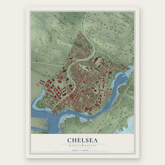
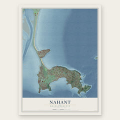
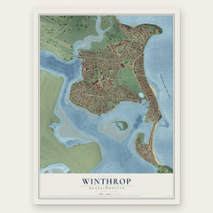
More maps nearby: Everett, Saugus, Malden, East Boston and Lynn.
The art of mapping a place
How This Map Was Made
Real places. Remarkable detail. Discover the layers that turn geographic data into a map of home.

The view from above
Aerial imagery reveals the character of the land: woodland, open fields, and the patterns of a place.

The shape of the land
Elevation data brings hills, valleys, and subtle changes in the landscape into view.

The details of home
Roads, waterways, and building footprints come together to make the map feel unmistakably local.

Geography becomes art
Considered color, shading, and typography bring the layers together in a map made for your wall.


Process illustrated with Mendon, Massachusetts. Aerial imagery: USDA NAIP. Terrain: USGS 3D Elevation Program. Map details and finished artwork: KNOWOL.
The Details
About This Print
Choose an archival matte print, or a black or white Ayous wood frame. The archival matte print is unframed.
Select your size and finish above to see the matching product image and price.
Materials & Craftsmanship
A contemporary map with the character of a classic atlas, printed on archival matte paper. Optional frames are made from Ayous wood.
Your printed map does not include the watermark shown in the full-map preview.
Shipping & Delivery
Free shipping within the United States. Every print is made to order in the USA.
Buying a gift? Add a note in your cart and we'll include it. We never put prices in the package.
Prints ship within 2 to 3 business days. Allow 7 to 10 days total from ordering for delivery. Timing may vary during holidays or periods of high order volume.
Read our shipping policy.
Returns and damaged prints
Each print is made to order. Change-of-mind refunds are not available after production.
If your print arrives damaged, misprinted or incorrect, contact support@knowol.com within 30 days of receiving it. Include your order number, photos and a description of the issue.
Read our full refund and replacement policy. For questions about your order, email support@knowol.com.