
Search for another town




Free U.S. delivery 7 to 10 days after you order
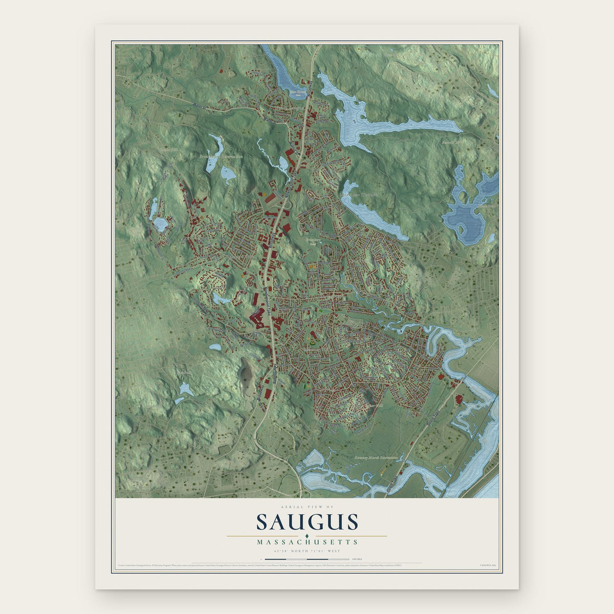
Saugus, Massachusetts Map Art
Building by building, with labeled streets and shaded relief.
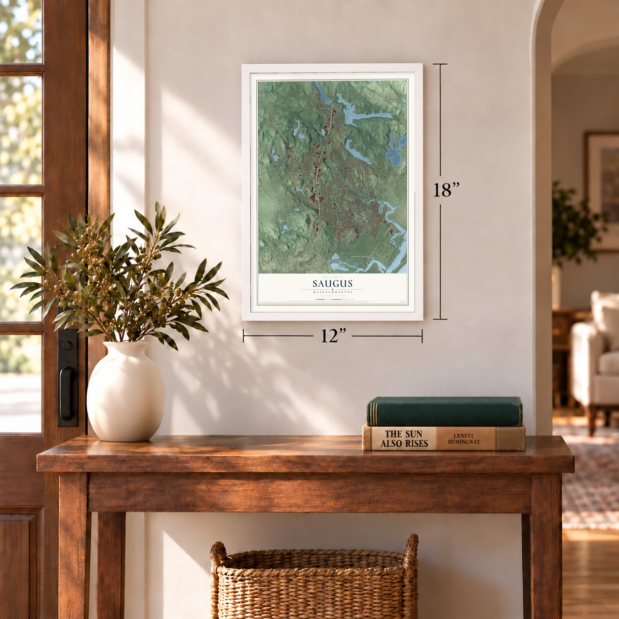
12" x 18" Archival Matte Print
A Map of Home. A Work of Art.
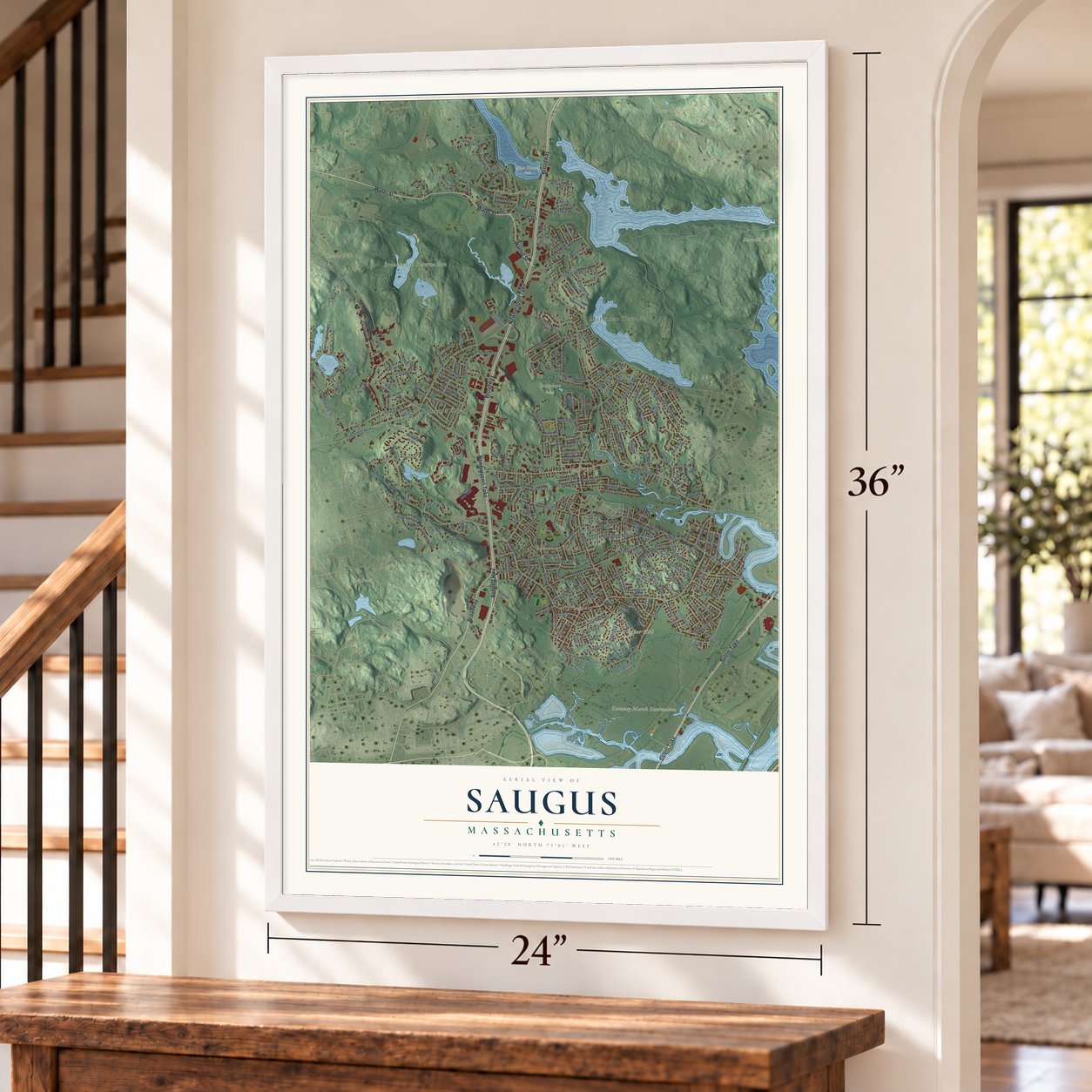
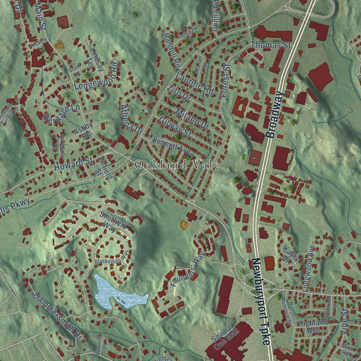
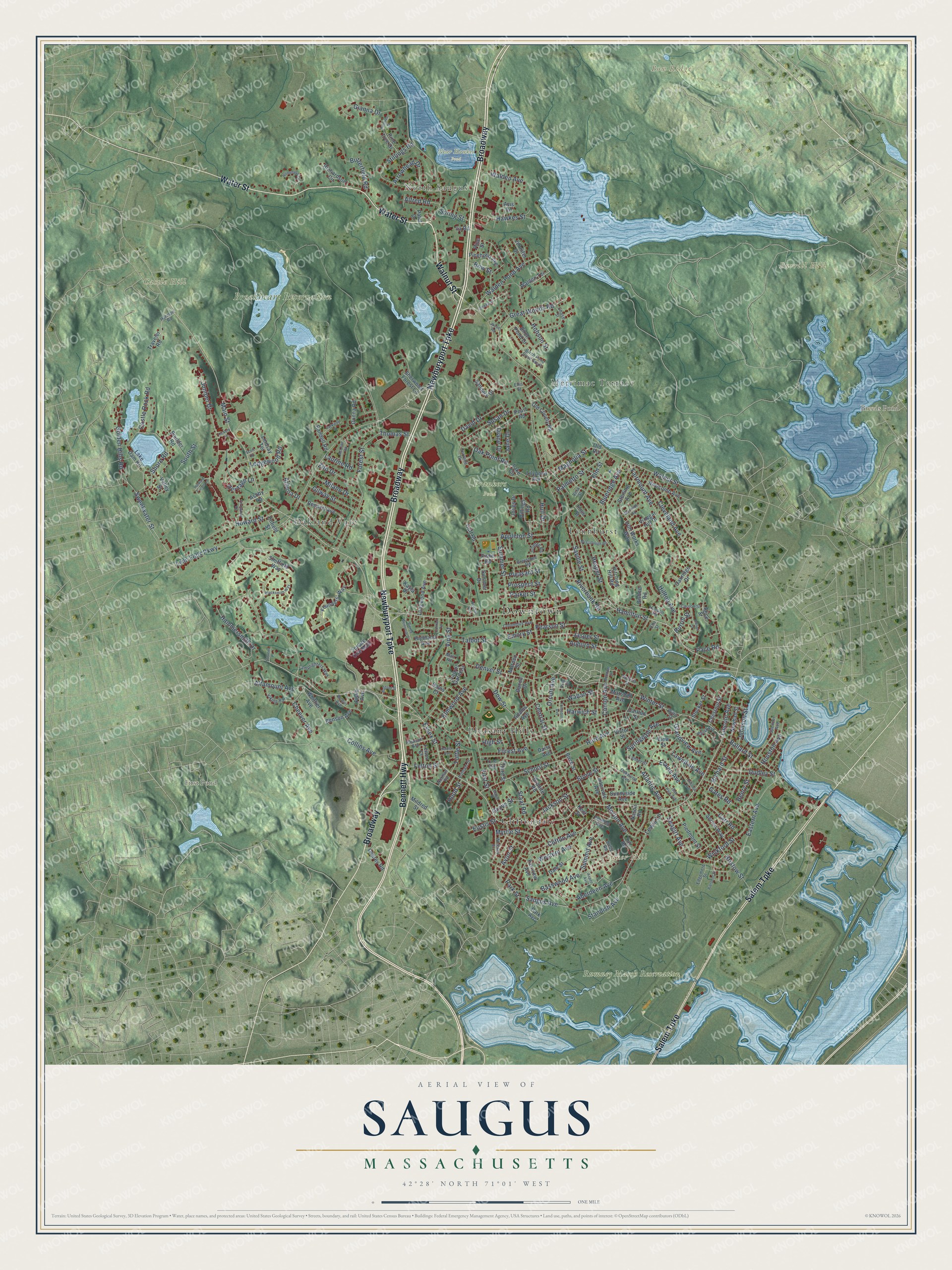
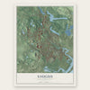
Explore Saugus, Massachusetts from a whole new perspective. Created using aerial imagery and detailed geographic data, this map captures Saugus building by building, with labeled streets, familiar landmarks, and shaded topographical relief that highlights the natural contours of the landscape.
Combining modern data with the timeless character of a vintage atlas, this map is just as interesting up close as it is beautiful on the wall. Whether you grew up in Saugus, spent memorable years there, or call it home today, this unique map is a great way to celebrate a place that means something to you. Zoom in on the preview to look for your street, and then order a print to put your memories on the wall.
Three ways to hang it
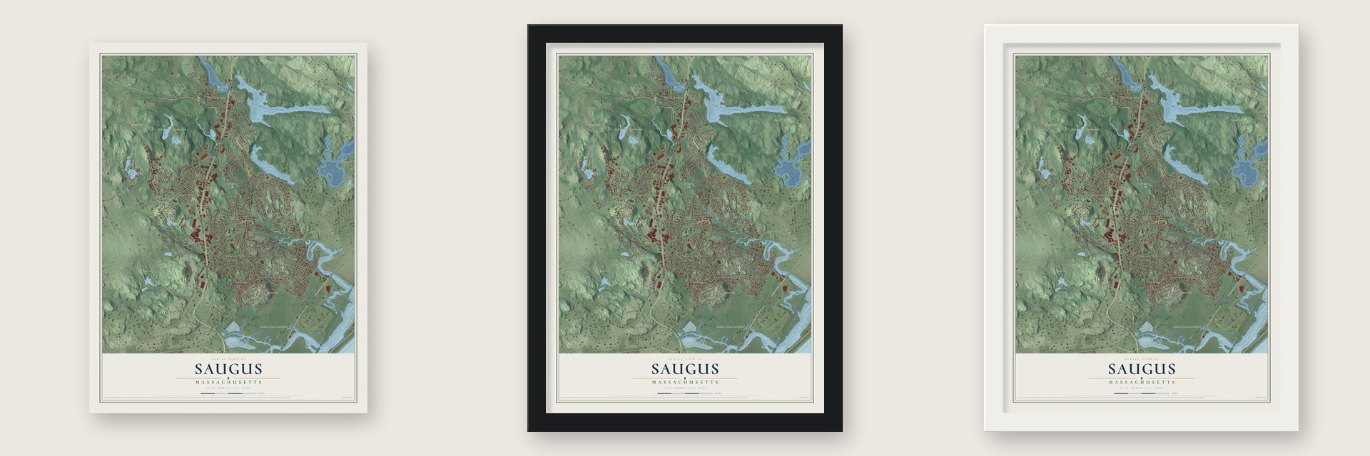
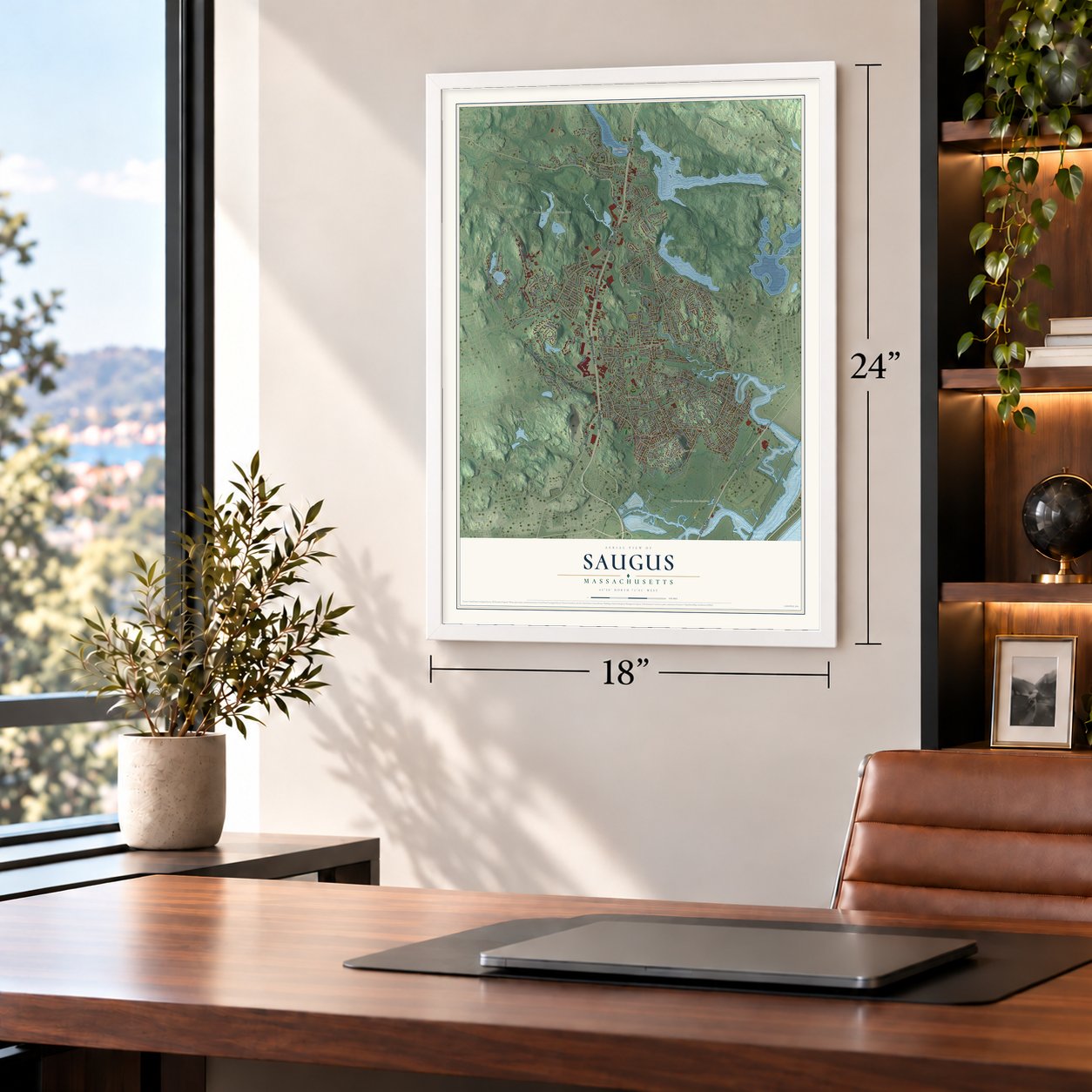
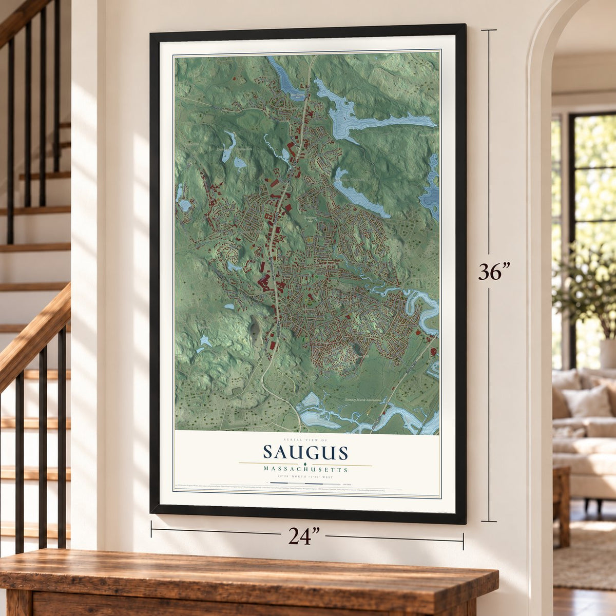
Unframed archival matte, a black wood frame or a white wood frame.
Up close
Geography Worth Displaying
This map was created using accurate cartographic data and authoritative geographic sources, including the U.S. Geological Survey (USGS) and FEMA. The map brings together terrain, waterways, roads, and building detail. The majority of the streets are labeled, houses are accurately depicted, and the topography is derived from government sources. Combining local data with carefully composed color and shading leads to this beautifully detailed Saugus artwork for your wall.
Rather than simply showing street outlines, we’ve included as many of the street names as we could reasonably fit on the map while keeping their names legible. Zoom in on the high resolution preview to see exactly what’s on the map. We truly set out to create a statement piece for anyone who loves Saugus. So whether it’s for you, or a gift for someone you love, we hope this map of Saugus brings back fond memories.
Explore the full map of Saugus, Massachusetts and read about the local places it shows.
Find your street
Names on the Saugus map
Every name below is printed on this map. Look for your street, your school, the park where you played, or the pond down the road.
Places and landmarks17
- Downtown
- North Saugus
- Baker Hill
- Bow Ridge
- Burrill Hill
- Castle Hill
- Breeds Pond
- First Pond
- Breakheart Reservation
- Near Hawkes Pond
- Prankers Pond
- Rumney Marsh Reservation
Show all 17 places
- Merrimac Terrace
- Oakland Vale
- Pleasant Hills
- Lynnhurst
- Cliftondale
Streets and roads260
- Newburyport Turnpike
- Broadway
- Bennett Highway
- Water Street
- Walnut Street
- Salem Turnpike
- Essex Street
- Lincoln Avenue
- Hamilton Street
- Main Street
- Springdale Avenue
- Hesper Street
- Orcutt Avenue
- Western Avenue
- Central Street
- Lynn Fells Parkway
- Forest Street
- Hammersmith Drive
- Winter Street
- Juniper Drive
- Fairmount Avenue
- Saugus Avenue
- Sweetwater Street
- Saville Street
- Howard Street
- Ballard Street
- Walden Pond Avenue
- Basswood Avenue
- Bristow Street
- Vine Street
Show all 260 streets
- Collins Avenue
- Eastern Avenue
- School Street
- Great Woods Road
- Golden Hills Road
- Hobson Street
- Riverbank Road
- Denver Street
- Cleveland Avenue
- Elm Street
- Hurd Avenue
- Clifton Avenue
- Altamount Avenue
- Jasper Street
- Bow Street
- Summer Street
- Appleton Street
- Susan Drive
- Heritage Lane
- Auburn Street
- Shore Road
- Aberdeen Avenue
- Dudley Street
- Gianna Drive
- Hawkes Street
- Palmetto Street
- Arrowhead Drive
- Stone Street
- David Drive
- Laurine Road
- South Street
- Gilway Street
- Seagirt Avenue
- Milano Drive
- Clinton Avenue
- Richard Street
- Standish Avenue
- Pearson Street
- Gates Road
- Athena Drive
- Atlantic Avenue
- Hilltop Avenue
- Butterfield Road
- Magnolia Street
- Blueridge Avenue
- Houston Avenue
- Cheever Avenue
- Jackson Street
- Carr Road
- Summit Avenue
- Waban Street
- Elmwood Avenue
- Walden Avenue
- Staaf Road
- Castle Rock Road
- Oak Point Road
- Dow Street
- Stillings Road
- Morton Avenue
- Ledgewood Road
- Grandview Avenue
- Pleasant Street
- Zito Drive
- Lawndale Avenue
- Pace Road
- Wickford Street
- Jane Drive
- Johnson Street
- Elaine Avenue
- Talbot Street
- Prospect Street
- Tuttle Street
- Myrtle Street
- Forest Avenue
- Alfred Road
- Lewis Lane
- Hull Drive
- Spring Street
- Parker Street
- Grove Street
- Henry Street
- Thomas Street
- Felton Street
- Avon Street
- Harwich Street
- Emory Street
- Eustis Street
- Burrill Street
- Park Street
- Diane Drive
- High Street
- Hood Street
- First Street
- Adams Avenue
- Founders' Way
- Sanders Drive
- Square One Mall
- Walden Terrace
- Chestnut Street
- Iron Works Way
- Birch Street
- Pearl Road
- Birch Pond Drive
- Summer Drive
- Lake Dam Road
- Intervale Avenue
- Sherwood Forest Lane
- Sterling Avenue
- Donna Road
- Laurel Gardens
- Serino Way
- Benson Avenue
- Bennett Avenue
- Longwood Avenue
- Park Avenue
- Pine Tree Drive
- Hitching Hill Road
- Pinehurst Avenue
- Newcomb Avenue
- Newhall Street
- Old County Road
- Marden Street
- Vinegar Hill Drive
- Lake Circle
- Sunnyside Avenue
- Piedmont Street
- Lindsay Terrace
- Highland Avenue
- Pillings Road
- Boulder Road
- Jones Drive
- Traveler Road
- Third Street
- Richardson Circle
- Sheffield Way
- Fairview Avenue
- Randell Road
- Marshall Avenue
- Granite Road
- Old Road
- Kayla Drive
- Oakridge Drive
- Jennifer Drive
- Osprey Road
- Lilypond Avenue
- Stocker Street
- Felton Court
- Whittier Avenue
- Valley Street
- Victor Street
- Enfield Street
- Fiske Avenue
- Cliff Road
- Fiske Road
- Kent Street
- Ashby Road
- Nason Road
- Bisbee Road
- Sim Road
- Mildred Street
- Carlton Street
- Pine Street
- Alice Street
- Daisy Avenue
- View Street
- Dale Street
- Innis Street
- Davis Court
- Bacon Drive
- Ila Road
- Patel Drive
- Avis Road
- Harmon Road
- Spencer Avenue
- Bailey Avenue
- Hanson Road
- Lamplighters Way
- Oakwood Avenue
- Whitney Street
- Columbus Avenue
- Willis Street
- Viking Road
- Pleasant Avenue
- Wilbur Avenue
- Birch Pond Drive South
- Greystone Road
- Lander Street
- Putnam Street
- Carson Street
- Juliette Road
- Edgemere Street
- Marr Road
- Yale Avenue
- Nirvana Drive
- Felmont Avenue
- Norman Road
- Victoria Street
- Chase Street
- Ruby Road
- Vera Street
- Pine Terrace
- Ellis Street
- Ella Street
- Blacksmith Way
- Glen Park Avenue
- Pinetree Drive
- Overlea Avenue
- Tontaquon Avenue
- Homeland Circle
- Dewey Street
- Pierce Memorial Drive
- McLean Road
- McCullough Road
- Holden Avenue
- Parkway Drive
- Fernwood Road
- Ireson Street
- Maple Street
- Bufford Street
- Scott Drive
- Pierpont Street
- Howard Farms Lane
- Stockade Road
- Belmont Street
- Newhall Avenue
- Hickory Lane
- Conrad Terrace
- Stevens Place
- Wood Road
- Aspen Avenue
Names are listed as they appear on the printed map. Zoom into the product photos to find them.
About Saugus, Massachusetts
Saugus is a town of 28,619 people in Essex County, on the Saugus River. When the colony's government first mentioned Saugus in 1630, the name covered a far larger area that took in today's Lynn, Swampscott, Lynnfield, Reading, Wakefield and Nahant. In 1637 the General Court renamed the plantation Lin, later spelled Lynn, and the Saugus side became the West Parish of Lynn in 1738, with a meetinghouse of its own.
The parish called Rev. Joseph Roby as its minister in 1750, and he served for more than fifty years. In 1814 a petition asked that the West Parish be made a separate town named Westport. The new town was incorporated instead as Saugus on February 17, 1815, and its voters gathered for their first town meeting on March 13.
“the people of the low lands of Lynn would not go up to this hill country of Saugus to listen to the Preaching of the Gospel”
- Iron works in 1646In 1646 North America's first integrated iron works started up on Thomas Dexter's farm, at the spot where the tide reaches the Saugus River. Many of the workmen had come from Hammersmith, England, and the village that grew up around the works took that name.
- Rebuilt after 1948The furnace turned out more than a ton of iron each day, but the works never made money and closed around 1670. Digging at the site began in 1948, and the reconstructed iron works became a national historic site in 1968.
- Minute Men at the Rising SunJoseph Armitage kept the Anchor Tavern on the old Boston road by 1643. Jacob Newhall, a patriot, bought it in 1773, renamed it the Rising Sun and took the lion and unicorn off its sign. Captain David Parker's 63 Saugus Minute Men, Lynn's biggest company, drilled there and marched for Lexington and Concord on April 19, 1775. Parson Roby met President Washington at the tavern in 1789, and the building came down in 1836 for Lincoln Avenue.
- Snuff, chocolate and flannelIn 1792 George Makepeace rebuilt the old tide mill at the East Saugus bridge to grind snuff, shipped for half a century in small wooden kegs, each signed by hand. Benjamin Sweetser made chocolate at the Centre from 1794 and sold it as far away as New Orleans. Edward Pranker came in 1838. In 1884 roughly a hundred workers in his mills were turning out 1,800,000 yards of flannel each year, dyed yellow, white or red.
- A town hall on wet groundSaugus laid the cornerstone of its second town hall on Central Street in 1874 and finished the building in 1875. The marshy site needed costly filling before it could be built on, and the project left the town $50,000 in debt. Wendell Phillips gave the address at its dedication in 1877. Saugus Town Hall joined the National Register in 1985.
Keep exploring Massachusetts
Saugus is one of 461 Massachusetts towns we've mapped. Every dot on the map is a print of its own.
The search covers every state, Massachusetts first.
Near Saugus
Order 2 or more town maps and save 10%. Shown in the size and finish you picked above, so they hang as a set.
- Melrose 12" x 18" / Archival Matte Print $39.99
- Lynn 12" x 18" / Archival Matte Print $39.99
- Revere 12" x 18" / Archival Matte Print $39.99


More maps nearby: Malden, Wakefield, Stoneham, Lynnfield and Everett.
The art of mapping a place
How This Map Was Made
Real places. Remarkable detail. Discover the layers that turn geographic data into a map of home.

The view from above
Aerial imagery reveals the character of the land: woodland, open fields, and the patterns of a place.

The shape of the land
Elevation data brings hills, valleys, and subtle changes in the landscape into view.

The details of home
Roads, waterways, and building footprints come together to make the map feel unmistakably local.

Geography becomes art
Considered color, shading, and typography bring the layers together in a map made for your wall.


Process illustrated with Mendon, Massachusetts. Aerial imagery: USDA NAIP. Terrain: USGS 3D Elevation Program. Map details and finished artwork: KNOWOL.
The Details
About This Print
Choose an archival matte print, or a black or white Ayous wood frame. The archival matte print is unframed.
Select your size and finish above to see the matching product image and price.
Materials & Craftsmanship
A contemporary map with the character of a classic atlas, printed on archival matte paper. Optional frames are made from Ayous wood.
Your printed map does not include the watermark shown in the full-map preview.
Shipping & Delivery
Free shipping within the United States. Every print is made to order in the USA.
Buying a gift? Add a note in your cart and we'll include it. We never put prices in the package.
Prints ship within 2 to 3 business days. Allow 7 to 10 days total from ordering for delivery. Timing may vary during holidays or periods of high order volume.
Read our shipping policy.
Returns and damaged prints
Each print is made to order. Change-of-mind refunds are not available after production.
If your print arrives damaged, misprinted or incorrect, contact support@knowol.com within 30 days of receiving it. Include your order number, photos and a description of the issue.
Read our full refund and replacement policy. For questions about your order, email support@knowol.com.