
Search for another town




Free U.S. delivery 7 to 10 days after you order
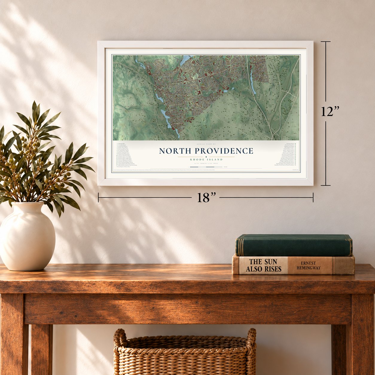
North Providence, Rhode Island Map Art
Building by building, with labeled streets and shaded relief.
12" x 18" Archival Matte Print
A Map of Home. A Work of Art.
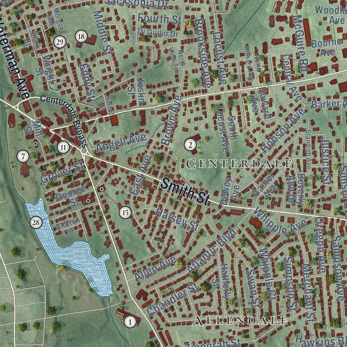
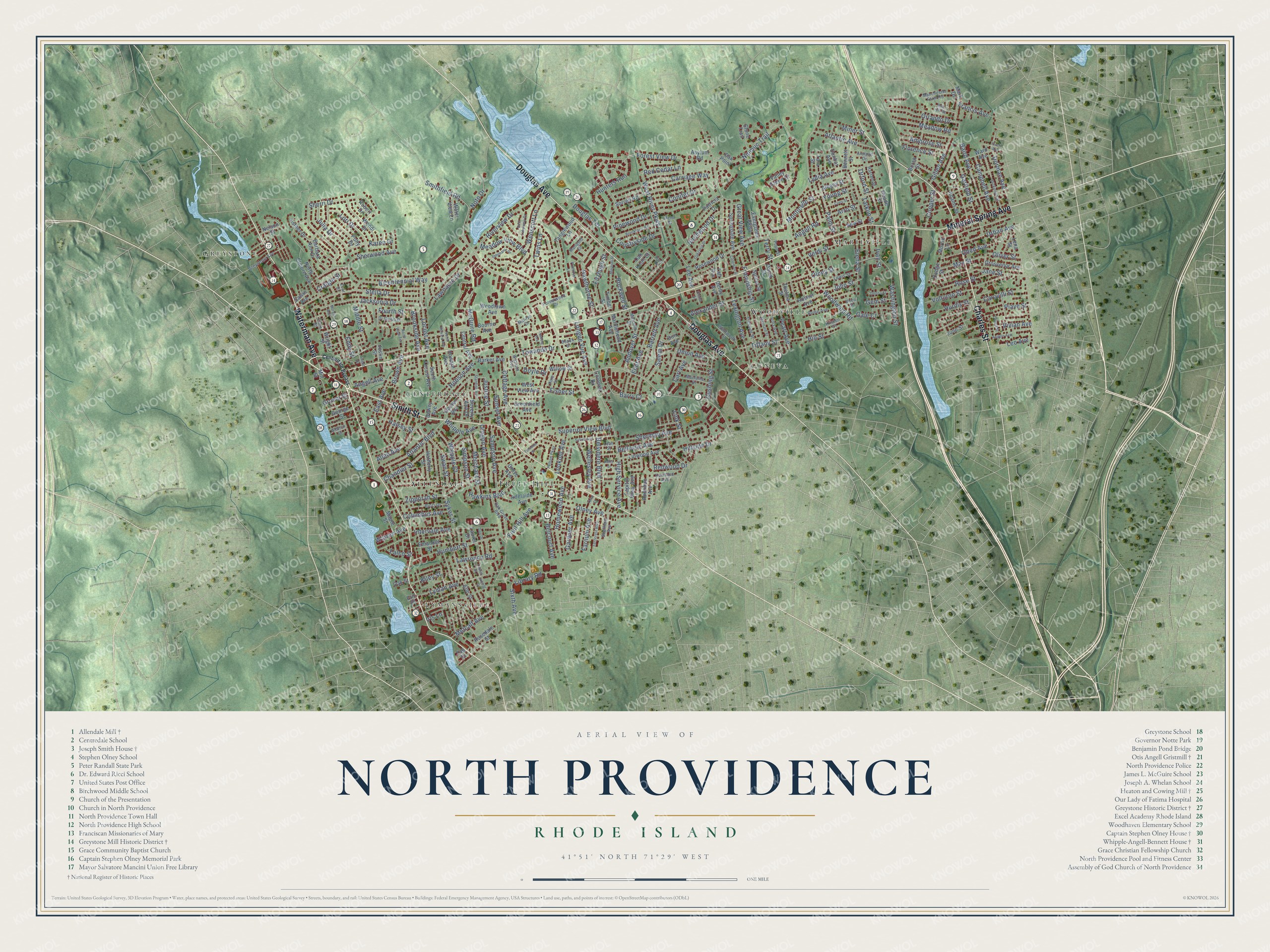
Explore North Providence, Rhode Island from a whole new perspective. Created using aerial imagery and detailed geographic data, this map captures North Providence building by building, with labeled streets, familiar landmarks, and shaded topographical relief that highlights the natural contours of the landscape.
Combining modern data with the timeless character of a vintage atlas, this map is just as interesting up close as it is beautiful on the wall. Whether you grew up in North Providence, spent memorable years there, or call it home today, this unique map is a great way to celebrate a place that means something to you. Zoom in on the preview to look for your street, and then order a print to put your memories on the wall.
Three ways to hang it
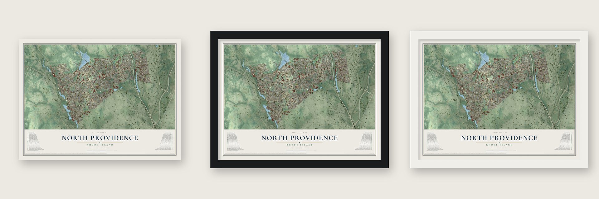
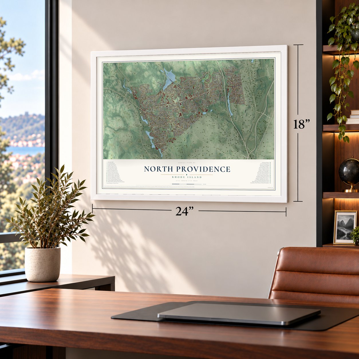
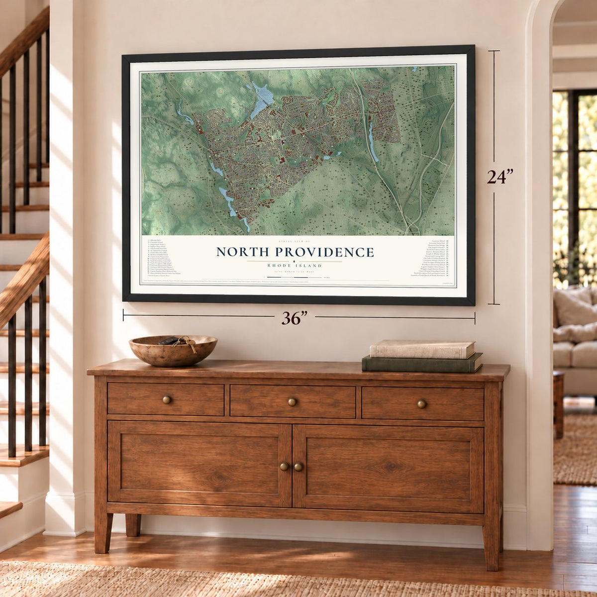
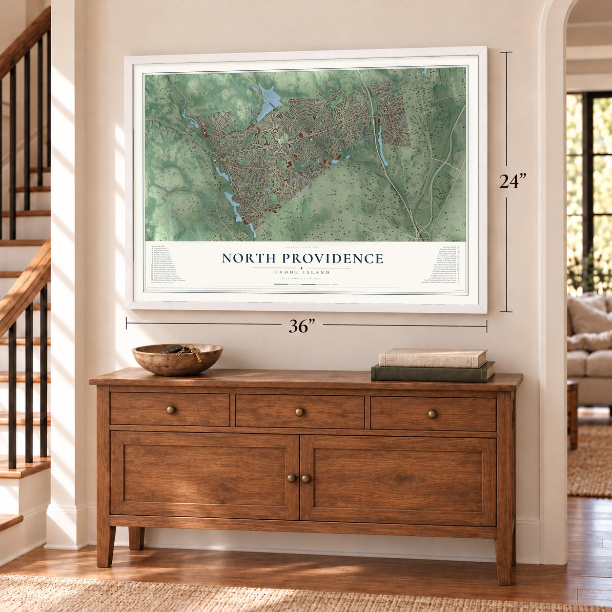
Unframed archival matte, a black wood frame or a white wood frame.
Up close
Geography Worth Displaying
This map was created using accurate cartographic data and authoritative geographic sources, including the U.S. Geological Survey (USGS) and FEMA. The map brings together terrain, waterways, roads, and building detail. The majority of the streets are labeled, houses are accurately depicted, and the topography is derived from government sources. Combining local data with carefully composed color and shading leads to this beautifully detailed North Providence artwork for your wall.
Rather than simply showing street outlines, we’ve included as many of the street names as we could reasonably fit on the map while keeping their names legible. Zoom in on the high resolution preview to see exactly what’s on the map. We truly set out to create a statement piece for anyone who loves North Providence. So whether it’s for you, or a gift for someone you love, we hope this map of North Providence brings back fond memories.
Explore the full map of North Providence, Rhode Island and read about the local places it shows.
Find your street
Names on the North Providence map
Every name below is printed on this map. Look for your street, your school, the park where you played, or the pond down the road.
Places and landmarks8
- Marieville
- Greystone
- Lymansville
- Geneva
- Fruit Hill
- Allendale
- Woodville
- Centerdale
Streets and roads292
- Waterman Avenue
- Mineral Spring Avenue
- Smith Street
- Douglas Avenue
- Charles Street
- Obed Avenue
- Library Road
- Sixth Avenue
- Hawthorne Street
- Smithfield Road
- Fruit Hill Avenue
- Nipmuc Trail
- Woodward Road
- Angell Road
- Lexington Avenue
- High Service Avenue
- Bicentennial Way
- West River Parkway
- Alexander Street
- Jacksonia Drive
- Homewood Avenue
- Olney Avenue
- Countryside Drive
- Brown Avenue
- Meadow View Boulevard
- Humbert Street
- Carriage Way
- Hunters Run
- Friendship Street
- Stella Drive
Show all 292 streets
- Conifer Drive
- Lyman Avenue
- Sherwood Avenue
- Volturno Street
- Cottage Avenue
- Intervale Avenue
- Ambrose Street
- Jane Street
- Pinewood Drive
- Salem Drive
- Dorman Avenue
- Sherri Drive
- Barrett Avenue
- Lawnacre Drive
- Atlantic Boulevard
- Merchant Street
- Forest View Drive
- Superior View Boulevard
- Sunset Avenue
- Riverview Drive
- Orlando Drive
- Baird Avenue
- Angell Avenue
- Lydia Avenue
- Locust Avenue
- Urban Avenue
- Allen Avenue
- Eliot Avenue
- East Avenue
- Oregon Avenue
- Washington Street
- Sampson Avenue
- Garfield Street
- Tiffany Street
- Andover Street
- Swan Street
- Meadow Road
- Gillen Avenue
- Bellevue Avenue
- Sherman Avenue
- Atlantic Avenue
- Wenscott Lane
- Pearl Avenue
- Lori Drive
- Gardner Avenue
- Hurdis Street
- Hobson Avenue
- Birchwood Drive
- Belvidere Boulevard
- Redwood Drive
- Rose Street
- Verdi Street
- Campbell Avenue
- Belcourt Avenue
- Whipple Court
- Douglas Terrace
- Julia Drive
- McGuire Road
- Barry Court
- Great View Avenue
- Hawkins Boulevard
- Palm Street
- Cushing Street
- Wellesley Avenue
- Elena Street
- Chandler Street
- Twins Lane
- Metcalf Avenue
- Longue Vue Avenue
- Zipporah Street
- Hill Street
- Olney Street
- Sykes Street
- Vivian Avenue
- Terry Street
- Ivan Street
- Karen Drive
- May Street
- Halsey Street
- Lee Avenue
- Columbus Avenue
- Carovilli Street
- Monticello Street
- Brookside Avenue
- Lookout Avenue
- Farnum Avenue
- Towanda Drive
- Red Cedar Lane
- Florence Street
- Cooper Street
- Fisher Street
- Hillside Drive
- John Street
- Whipple Avenue
- Simpson Street
- Francis Avenue
- Rockwell Street
- Union Avenue
- Lawrence Road
- Noto Drive
- Carl Avenue
- Fitzhugh Street
- Craigie Street
- Middle Street
- Warren Avenue
- Oliver Street
- Young Street
- Justice Street
- Kiley Street
- Arro Street
- Tarklin Street
- Miner Street
- Falco Street
- Gem Street
- Link Street
- Doyle Drive
- Orford Street
- Grover Street
- Leo Avenue
- Gale Court
- Piave Street
- Fourth Street
- Eddy Street
- Iris Lane
- Dodge Street
- Morrill Lane
- Barbara Ann Drive
- North Elmore Avenue
- Central Avenue
- Sorrell Road
- Rosner Avenue
- Adams Street
- Greenfield Avenue
- Bourne Avenue
- Thelma Street
- Tanglewood Lane
- Evergreen Parkway
- Wendi Drive
- Joslin Street
- Linwood Avenue
- Spicer Street
- Esther Drive
- Elm Street
- George Street
- Springdale Avenue
- Beverly Ann Drive
- Adelaide Avenue
- Asylum Road
- Borah Street
- Hatherly Street
- Barker Avenue
- Emanuel Street
- Polly Drive
- Rosewood Drive
- Bennett Street
- Marblehead Avenue
- Grosvenor Avenue
- Capitol View Avenue
- Gainer Avenue
- West View Avenue
- Ward Avenue
- Woodlawn Avenue
- Mark Drive
- South Locust Avenue
- Howard Avenue
- Patricia Drive
- Grove Avenue
- Albany Street
- Lena Street
- Dunbar Avenue
- Oak Knoll Court
- Stone Trail
- Mill Street
- Rosedale Street
- Audubon Avenue
- Maple Street
- Water View Lane
- Willow Street
- Valley Green Court
- Colonial Drive
- Robert Drive
- Derby Avenue
- Tara Street
- Timber Street
- Taft Avenue
- Nelson Street
- Wright Street
- June Street
- Don Avenue
- Dewey Avenue
- David Street
- New Street
- Reade Street
- Sawin Avenue
- Oak Street
- Laurel Drive
- Oak Point
- Tag Drive
- Eric Place
- Helm Street
- Oak Grove Boulevard
- Forestwood Drive
- Tremont Street
- Greystone Avenue
- Lewis Street
- Villa Avenue
- Marilyn Drive
- Ricci Drive
- Marigold Circle
- Manchester Farm Road
- Maclaine Drive
- Wentworth Street
- Malcolm Street
- Kentland Avenue
- Rome Avenue
- Armand Drive
- Beach Street
- Sheffield Avenue
- Kristen Court
- Di Guilio Drive
- Zoar Street
- Pine Street
- Haslam Street
- Wasiota Avenue
- Leah Street
- Vireo Street
- Pope Street
- Aldrich Street
- Clark Street
- Centerdale Bypass
- Primrose Lane
- Morgan Avenue
- Ferncrest Boulevard
- Dickinson Street
- Brookfarm Road
- Genoa Street
- Oakcrest Drive
- Standish Avenue
- Sylvia Avenue
- Maynard Street
- Stephanie Drive
- Marconi Street
- East Lakeview Drive
- Angelo Avenue
- Pelham Parkway
- North Howard Avenue
- Coes Street
- Coleman Street
- Briar Hill Road
- North View Terrace
- Finch Avenue
- Rena Street
- Laurel Street
- River Road
- Conca Street
- Elmira Street
- Third Street
- Turcone Street
- Tuscola Avenue
- Dail Drive
- Infield Court
- Sweet Street
Names are listed as they appear on the printed map. Zoom into the product photos to find them.
About North Providence, Rhode Island
North Providence is a town of 34,114 people in Providence County, with Providence on its southern edge and Lincoln and Smithfield to the north. Settlers moved onto this land soon after Roger Williams arrived in 1636, and the town was incorporated in 1765. Its first boundaries took in pieces of what are now Providence and Pawtucket.
In 1793 Samuel Slater founded Slater Mill on the Blackstone River, in the eastern part of the town, and it became the country's first fully mechanized cotton-spinning mill. In 1874 that eastern section, mill and all, became part of Pawtucket, and North Providence lost a large share of its people. Today the town covers 5.8 square miles, which makes it the smallest town in the smallest state, since Central Falls is smaller but is a city.
- A stone-ender from 1705The early colonists here built stone-ender houses, named for the great stone chimney wall at one end. One of them, the Joseph Smith House, went up in 1705 and still stands at 109 Smithfield Road. It is now on the National Register.
- Captain Stephen OlneyStephen Olney, born here in 1755, served with the Continental Army through the whole Revolution, from the siege of Boston to Yorktown. At Yorktown he led the American sappers over Redoubt 10 and took serious bayonet wounds. He lived, came home and spent twenty years representing North Providence in the legislature. Captain Stephen Olney Memorial Park carries his name.
- A mill built against fireIn 1822 John Holden Greene built the first Allendale Mill buildings for Zachariah Allen on the Woonasquatucket in Centerdale. Allen guarded his cotton mill with heavy fire doors, sprinklers, a rotary fire pump, copper-riveted hose, a thick wall around the picker room and roof shingles bedded in mortar. The company store from that year still stands beside it. Additions came in 1880, 1910 and 1947, and the mill joined the National Register in 1973.
- Greystone, built 1904 to 1912Between 1904 and 1912 Joseph Benn and Company built the brick Greystone Mill upriver, designed by Frank Sheldon and Son, with a dam across the Woonasquatucket. The company also put up duplexes and tenements for its workers, and the Greystone Primitive Methodist Church on Oakleigh Avenue became the village's best-known building. Four houses in Greystone are older than the mill, dating back to 1822.
- First mayor in 1974For two centuries a town council, a town clerk and a town treasurer ran North Providence. In 1974 voters chose their first mayor, Salvatore Mancini, and he held the office for 20 years.
Keep exploring Rhode Island
North Providence is one of 85 Rhode Island towns we've mapped. Every dot on the map is a print of its own.
The search covers every state, Rhode Island first.
Near North Providence
Order 2 or more town maps and save 10%. Shown in the size and finish you picked above, so they hang as a set.
- Greystone 12" x 18" / Archival Matte Print $39.99
- Wanskuck 12" x 18" / Archival Matte Print $39.99
- Manton 12" x 18" / Archival Matte Print $39.99


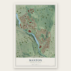
More maps nearby: Federal Hill, Providence, Saylesville, Lincoln and Central Falls.
The art of mapping a place
How This Map Was Made
Real places. Remarkable detail. Discover the layers that turn geographic data into a map of home.

The view from above
Aerial imagery reveals the character of the land: woodland, open fields, and the patterns of a place.

The shape of the land
Elevation data brings hills, valleys, and subtle changes in the landscape into view.

The details of home
Roads, waterways, and building footprints come together to make the map feel unmistakably local.

Geography becomes art
Considered color, shading, and typography bring the layers together in a map made for your wall.


Process illustrated with Mendon, Massachusetts. Aerial imagery: USDA NAIP. Terrain: USGS 3D Elevation Program. Map details and finished artwork: KNOWOL.
The Details
About This Print
Choose an archival matte print, or a black or white Ayous wood frame. The archival matte print is unframed.
Select your size and finish above to see the matching product image and price.
Materials & Craftsmanship
A contemporary map with the character of a classic atlas, printed on archival matte paper. Optional frames are made from Ayous wood.
Your printed map does not include the watermark shown in the full-map preview.
Shipping & Delivery
Free shipping within the United States. Every print is made to order in the USA.
Buying a gift? Add a note in your cart and we'll include it. We never put prices in the package.
Prints ship within 2 to 3 business days. Allow 7 to 10 days total from ordering for delivery. Timing may vary during holidays or periods of high order volume.
Read our shipping policy.
Returns and damaged prints
Each print is made to order. Change-of-mind refunds are not available after production.
If your print arrives damaged, misprinted or incorrect, contact support@knowol.com within 30 days of receiving it. Include your order number, photos and a description of the issue.
Read our full refund and replacement policy. For questions about your order, email support@knowol.com.