
Search for another town
Free U.S. delivery 7 to 10 days after you order
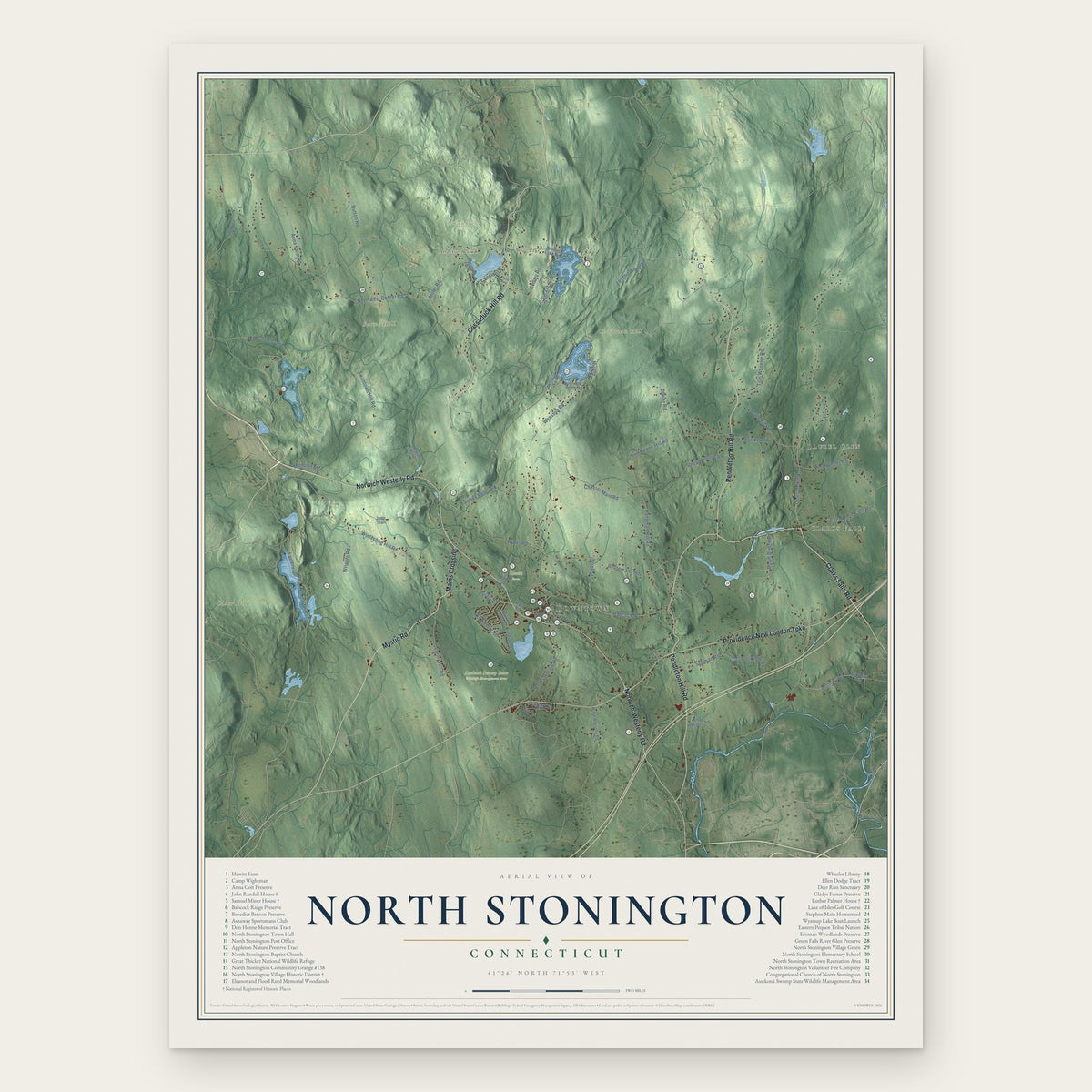
North Stonington, Connecticut Map Art
Building by building, with labeled streets and shaded relief.
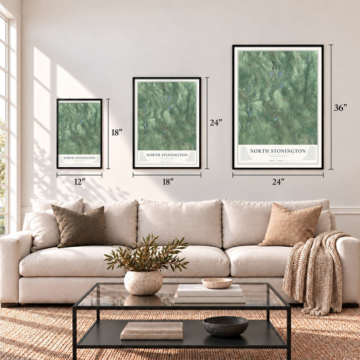
12" x 18" Archival Matte Print
A Map of Home. A Work of Art.
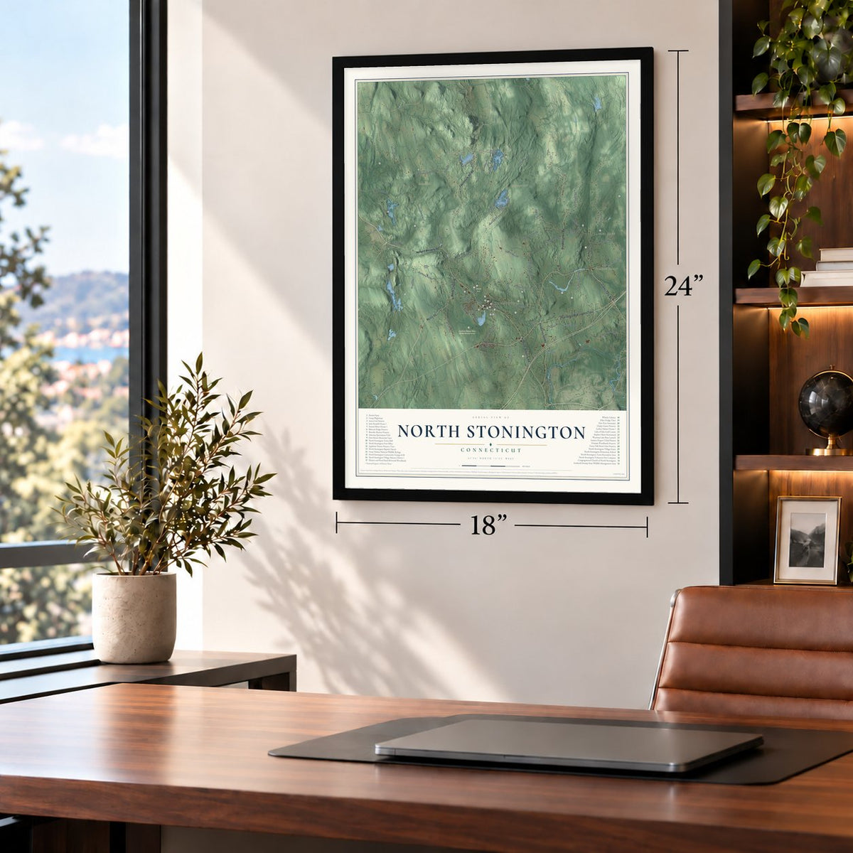
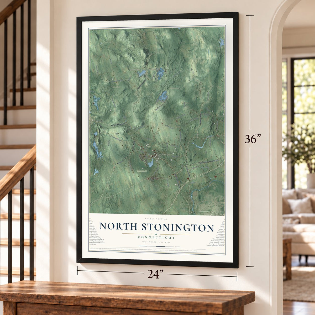
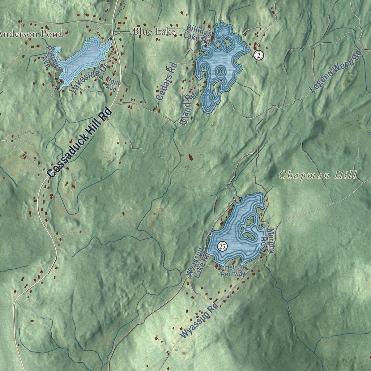
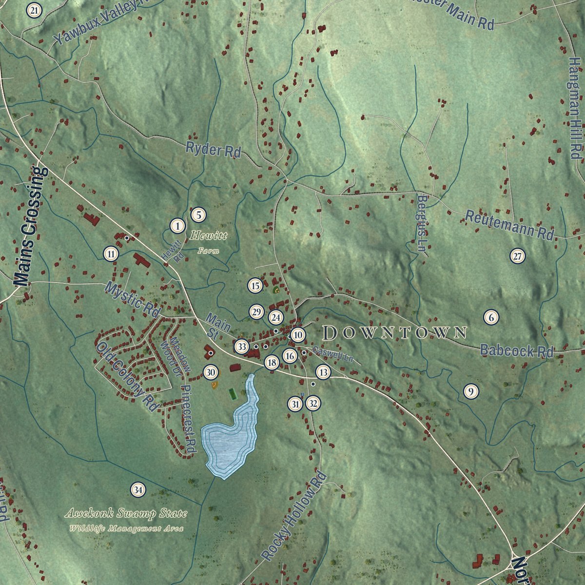
Explore North Stonington, Connecticut from a whole new perspective. Created using aerial imagery and detailed geographic data, this map captures North Stonington building by building, with labeled streets, familiar landmarks, and shaded topographical relief that highlights the natural contours of the landscape.
Combining modern data with the timeless character of a vintage atlas, this map is just as interesting up close as it is beautiful on the wall. Whether you grew up in North Stonington, spent memorable years there, or call it home today, this unique map is a great way to celebrate a place that means something to you. Zoom in on the preview to look for your street, and then order a print to put your memories on the wall.

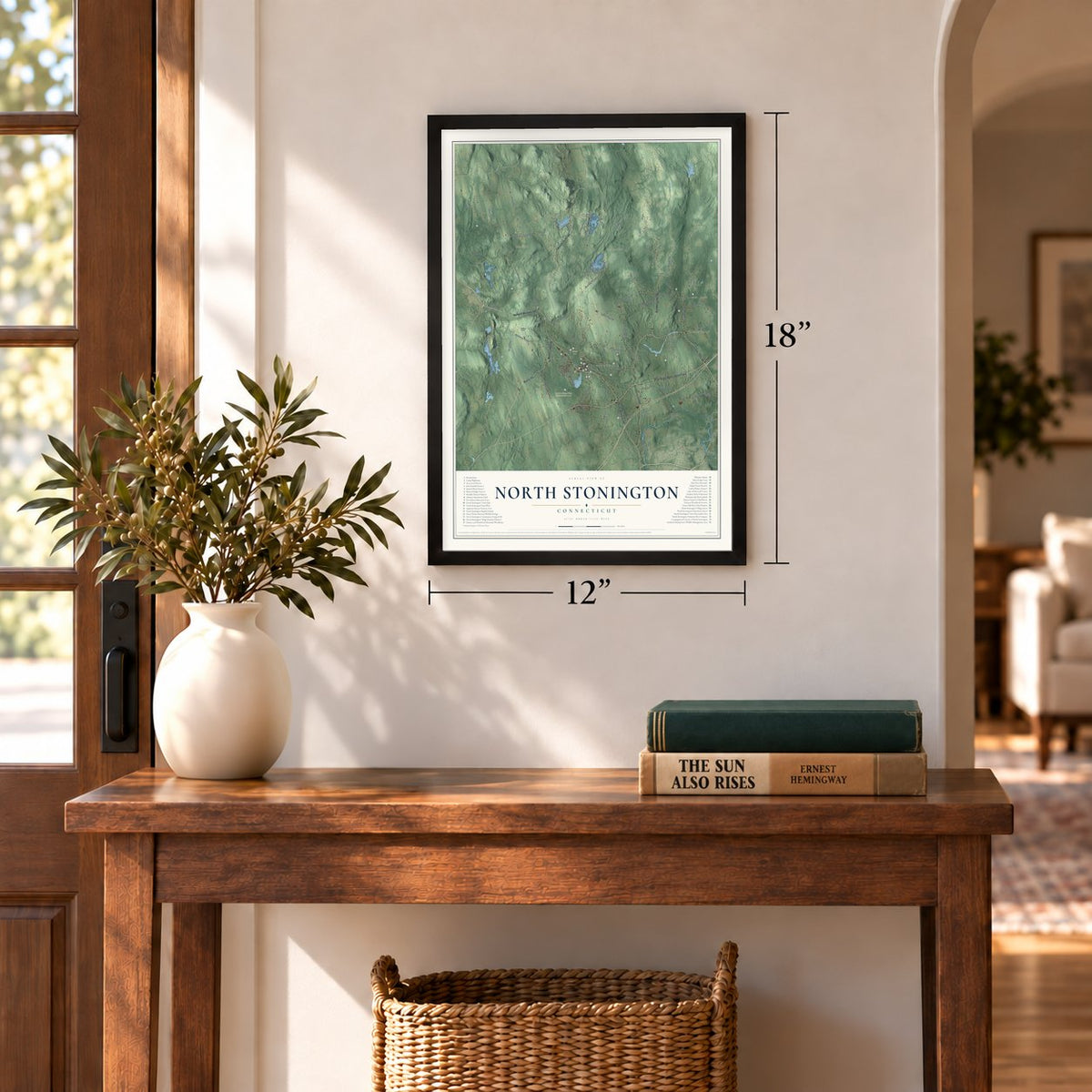
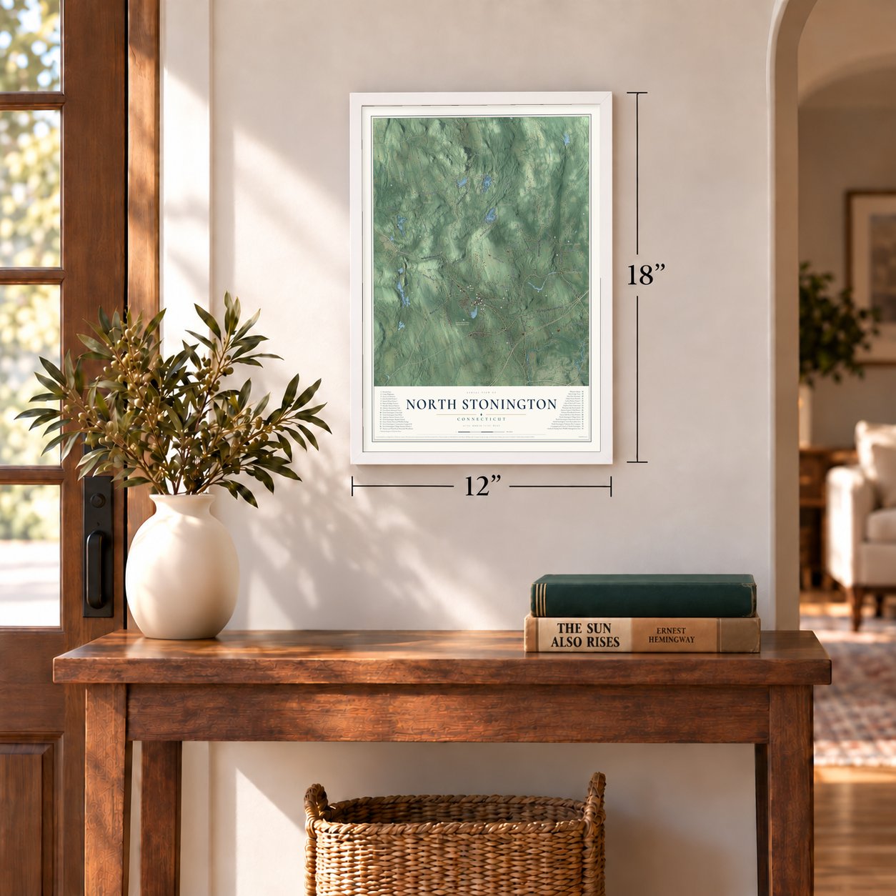
Three ways to hang it
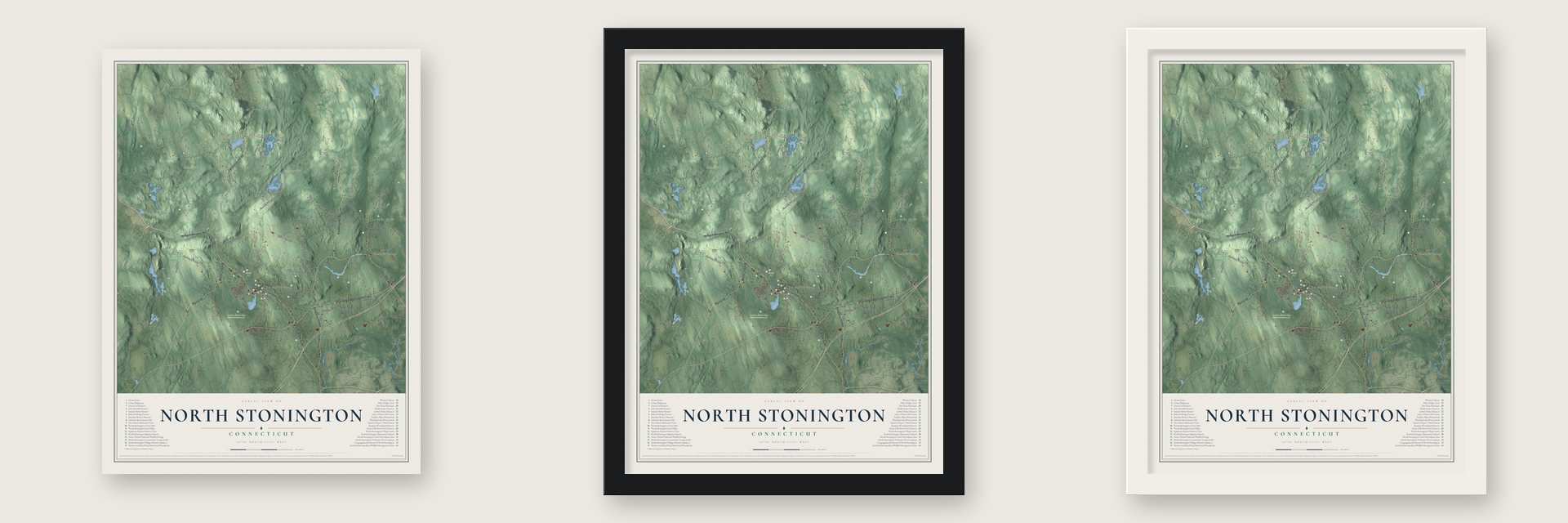
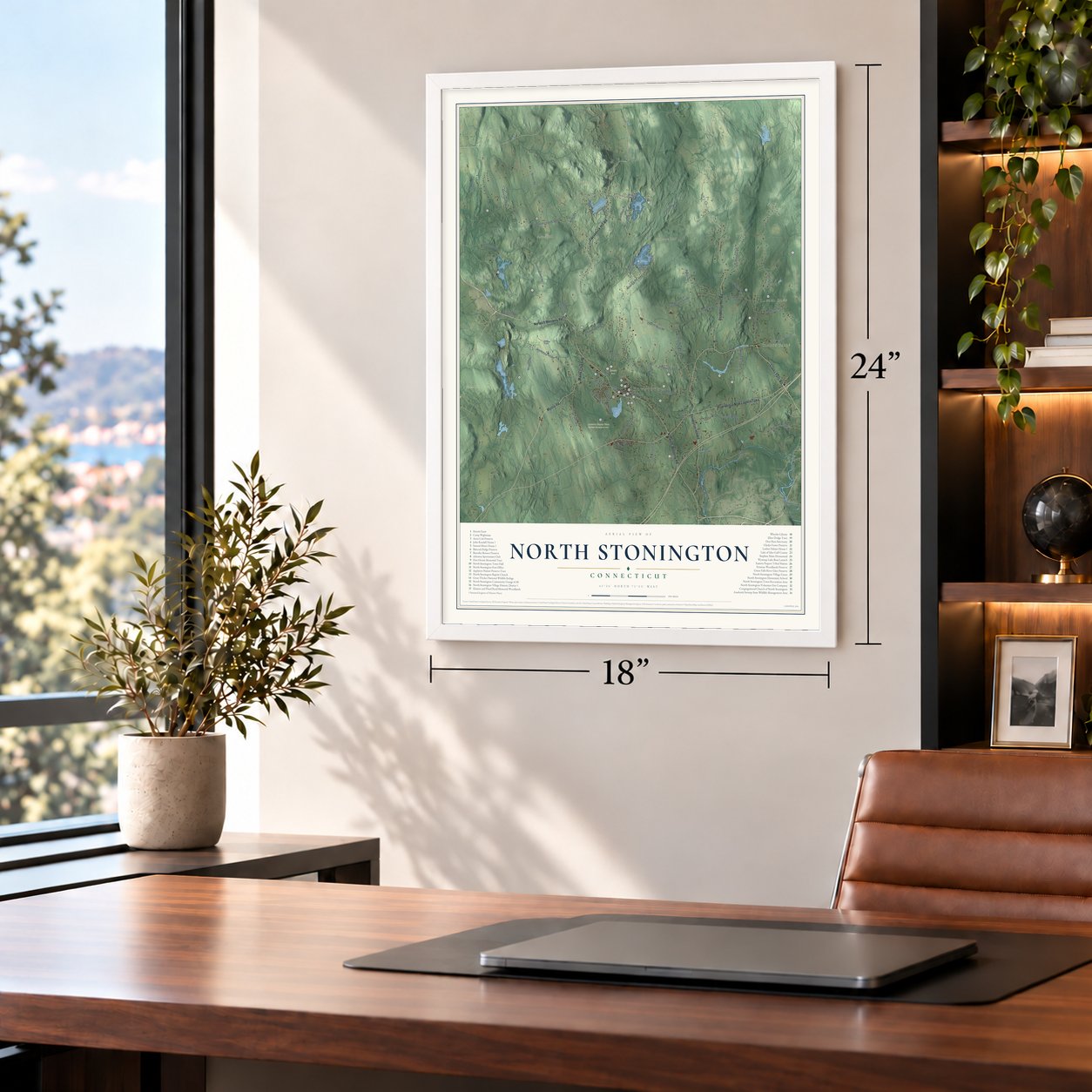
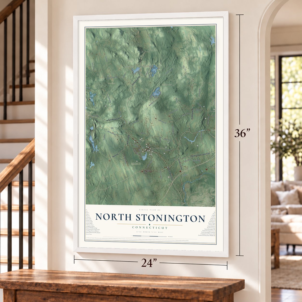
Unframed archival matte, a black wood frame or a white wood frame.
Up close
Geography Worth Displaying
This map was created using accurate cartographic data and authoritative geographic sources, including the U.S. Geological Survey (USGS) and FEMA. The map brings together terrain, waterways, roads, and building detail. The majority of the streets are labeled, houses are accurately depicted, and the topography is derived from government sources. Combining local data with carefully composed color and shading leads to this beautifully detailed North Stonington artwork for your wall.
Rather than simply showing street outlines, we’ve included as many of the street names as we could reasonably fit on the map while keeping their names legible. Zoom in on the high resolution preview to see exactly what’s on the map. We truly set out to create a statement piece for anyone who loves North Stonington. So whether it’s for you, or a gift for someone you love, we hope this map of North Stonington brings back fond memories.
Explore the full map of North Stonington, Connecticut and read about the local places it shows.
Find your street
Names on the North Stonington map
Every name below is printed on this map. Look for your street, your school, the park where you played, or the pond down the road.
Places and landmarks12
- Downtown
- Clarks Falls
- Laurel Glen
- Ayer Hill
- Barns Hill
- Chapman Hill
- Cider Hill
- Anderson Pond
- Blue Lake
- Assekonk Swamp State Wildlife Management Area
- Hewitt Farm
- TriTown Forest Preserve
Streets and roads68
- Clarks Falls Road
- Mystic Road
- Pendleton Hill Road
- Norwich Westerly Road
- Providence New London Turnpike
- Cossaduck Hill Road
- Norwich-Westerly Road
- Mains Crossing
- Denison Hill Road
- Lantern Hill Road
- East Clarks Falls Road
- Oak Drive
- Wyassup Road
- Northwest Corner Road
- Boom Bridge Road
- Swantown Hill Road
- Wintechog Hill Road
- Tom Wheeler Road
- Anna Farm Road
- Chester Main Road
- Reutemann Road
- Hangman Hill Road
- Legend Wood Road
- Babcock Road
- Button Road
- Ryder Road
- Miller Road
- Grindstone Hill Road
- Rocky Hollow Road
- Stillman Road
Show all 68 streets
- Pine Woods Road
- Jeremy Hill Road
- Fowler Road
- Anthony Road
- Cranberry Bog Road
- Puttker Road
- Yawbux Valley Road
- Sleepy Hollow Road
- Lakeside Drive
- Old Colony Road
- Lake of Isles Road
- Wrights Road
- Cedars Road
- Loin Hill Road
- Milltown Road
- Cedar Drive
- Island Road
- Wyassup Lake Road
- Ashaway Road
- Billings Lake Road
- Main Street
- Pinecrest Road
- Patricia Avenue
- North Anguilla Road
- Murphy Road
- Hewitt Pond
- Ella Wheeler Road
- Princess Lane
- Bergius Lane
- Hollowell Road
- Jeep Trail
- Armstrong Pentway
- Meadow Wood Drive
- Polly Avenue
- Surrey Lane
- Caswell Lane
- Johnson Road
- Hewitt Road
Names are listed as they appear on the printed map. Zoom into the product photos to find them.
About North Stonington, Connecticut
North Stonington is a town of 5,149 people in New London County, in Connecticut's southeast corner on the Rhode Island line. The Pequots, Niantics and Narragansetts lived here first, and English settlers kept Pequot names for places like Shunock Brook and Assekonk Swamp. Ezekiel Main, a veteran of King Philip's War who was paid with a land grant, settled at the present village in 1667, and Jeremiah Burch, an English blacksmith, settled that same year at what became Clarks Falls.
For decades the northern farmers belonged to Stonington and made a long trip to church there each Sunday, so in 1717 they formed a Congregational society of their own. The Connecticut Assembly gave this North Society the name North Stonington in 1724. The north later balked at paying for costly coastal roads and bridges, and in April 1807 a narrow majority at a town meeting voted to split off. The new town asked to be called Jefferson, but the Assembly approved the split under the old name instead.
“order of families as well as of churches and religious families, is vilely broke, dissolved and lost… the reins of government are thrown upon the neck, and nothing but anarchy and confusion reigns.”
- The old Black meeting-houseThe North Society agreed to build a meeting-house but argued over the site, and General Assembly committees came and went before it was raised in May 1723, forty feet by thirty-five. Rev. Joseph Fish, ordained in 1732, served 48 years, baptizing 606 children and marrying 363 couples. The 1742 revival added ninety-nine members, then split the church. The old house came down in 1817, and the two congregations built one church together and reunited in 1827.
- Major Hewitt and the bearAround 1750 a bear was killing sheep and young cattle on farms at the town's upper end, so farmers called on Maj. Israel Hewitt of Winchechoog Hill and his bloodhounds. The dogs tracked it to a cave but refused to go in. Hewitt crawled inside on hands and knees, saw two eyes in the dark and shot the bear dead. Young people later visited Bear's Hole, some three miles north of the village, until snakes showed up at its mouth.
- How the village became MilltownSamuel Richardson was running a mill on the Shunock River by 1702. After 1790 mills multiplied along the river so quickly that the village became Milltown, and the Avery family and other owners sold lots at Main Street's west end for shops and workers' homes. A mostly underground canal brought the Shunock from the old dam to an east-side factory, where George W. Bentley built a mill about 1840 that produced cotton cloth until after 1850, then wool.
- Clarks Falls and the Civil WarThe village at Burch's Falls had its own church, post office, mills and store. During the Civil War the Army needed wool, so in 1864 Alfred Clark and Peleg S. Tift put up a carding factory there at a cost of $34,000. It made goods for the Army through the end of the war and afterward produced flannels and suitings. The factory closed in 1895, but the village kept the name Clarks Falls.
- A house of four woodsThe Samuel Miner House went up in 1717 northwest of the village on Hewitt Road, and it was unusual for being framed from four kinds of wood: apple, oak, sycamore and chestnut. Its front door sat where a side wall would normally be, and its saltbox roof swept down to the first floor. The house joined the National Register in 1976, and fire destroyed it in April 2003.
Keep exploring Connecticut
North Stonington is one of 375 Connecticut towns we've mapped. Every dot on the map is a print of its own.
The search covers every state, Connecticut first.
Near North Stonington
Order 2 or more town maps and save 10%. Shown in the size and finish you picked above, so they hang as a set.
- Mashantucket 12" x 18" / Archival Matte Print $39.99
- Pawcatuck 12" x 18" / Archival Matte Print $39.99
- Preston 12" x 18" / Archival Matte Print $39.99
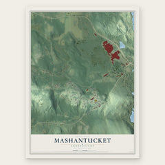

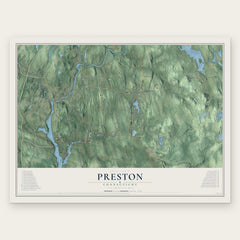
More maps nearby: Stonington, Voluntown, Ledyard, Griswold and Old Mystic.
The art of mapping a place
How This Map Was Made
Real places. Remarkable detail. Discover the layers that turn geographic data into a map of home.

The view from above
Aerial imagery reveals the character of the land: woodland, open fields, and the patterns of a place.

The shape of the land
Elevation data brings hills, valleys, and subtle changes in the landscape into view.

The details of home
Roads, waterways, and building footprints come together to make the map feel unmistakably local.

Geography becomes art
Considered color, shading, and typography bring the layers together in a map made for your wall.


Process illustrated with Mendon, Massachusetts. Aerial imagery: USDA NAIP. Terrain: USGS 3D Elevation Program. Map details and finished artwork: KNOWOL.
The Details
About This Print
Choose an archival matte print, or a black or white Ayous wood frame. The archival matte print is unframed.
Select your size and finish above to see the matching product image and price.
Materials & Craftsmanship
A contemporary map with the character of a classic atlas, printed on archival matte paper. Optional frames are made from Ayous wood.
Your printed map does not include the watermark shown in the full-map preview.
Shipping & Delivery
Free shipping within the United States. Every print is made to order in the USA.
Buying a gift? Add a note in your cart and we'll include it. We never put prices in the package.
Prints ship within 2 to 3 business days. Allow 7 to 10 days total from ordering for delivery. Timing may vary during holidays or periods of high order volume.
Read our shipping policy.
Returns and damaged prints
Each print is made to order. Change-of-mind refunds are not available after production.
If your print arrives damaged, misprinted or incorrect, contact support@knowol.com within 30 days of receiving it. Include your order number, photos and a description of the issue.
Read our full refund and replacement policy. For questions about your order, email support@knowol.com.