
Search for another town




Free U.S. delivery 7 to 10 days after you order
Norwalk, Connecticut Map Art
Building by building, with labeled streets and shaded relief.
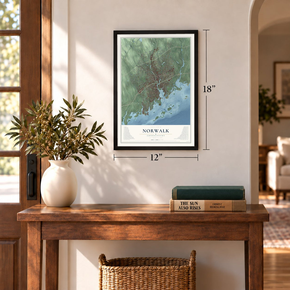
12" x 18" Archival Matte Print
A Map of Home. A Work of Art.
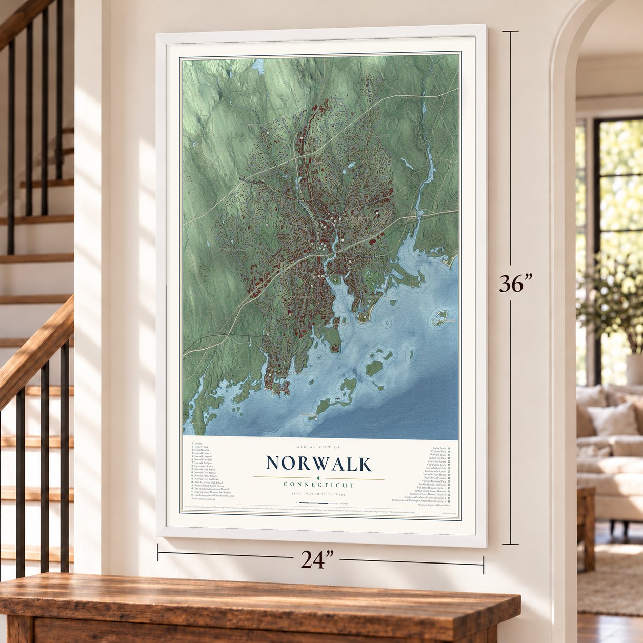
Explore Norwalk, Connecticut from a whole new perspective. Created using aerial imagery and detailed geographic data, this map captures Norwalk building by building, with labeled streets, familiar landmarks, and shaded topographical relief that highlights the natural contours of the landscape.
Combining modern data with the timeless character of a vintage atlas, this map is just as interesting up close as it is beautiful on the wall. Whether you grew up in Norwalk, spent memorable years there, or call it home today, this unique map is a great way to celebrate a place that means something to you. Zoom in on the preview to look for your street, and then order a print to put your memories on the wall.

Three ways to hang it
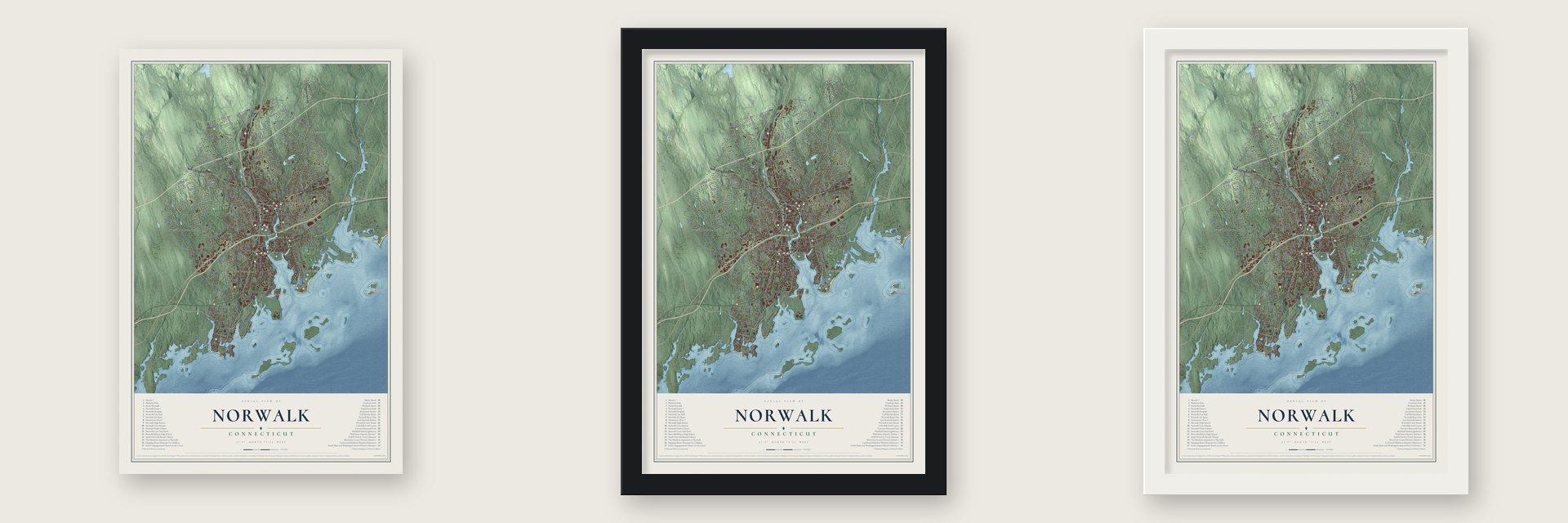
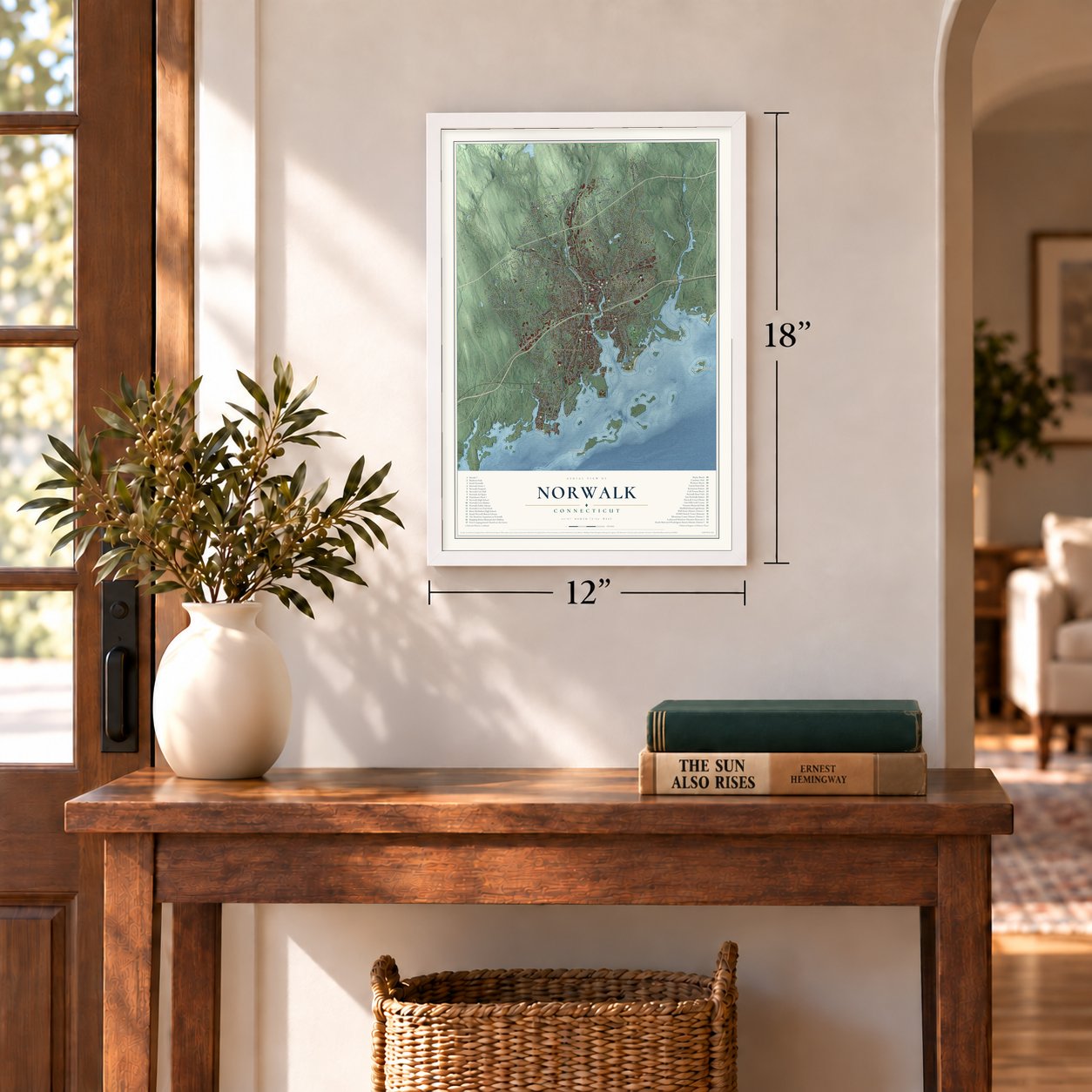
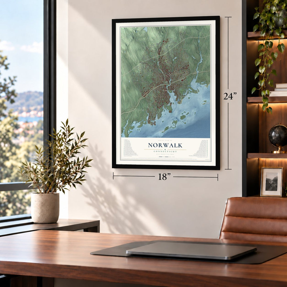
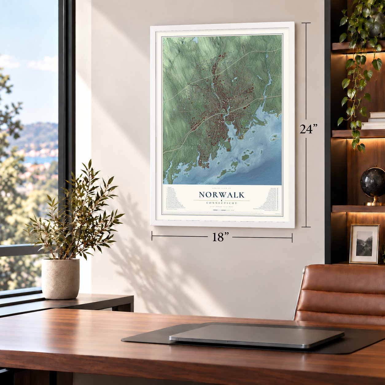
Unframed archival matte, a black wood frame or a white wood frame.
Up close
Geography Worth Displaying
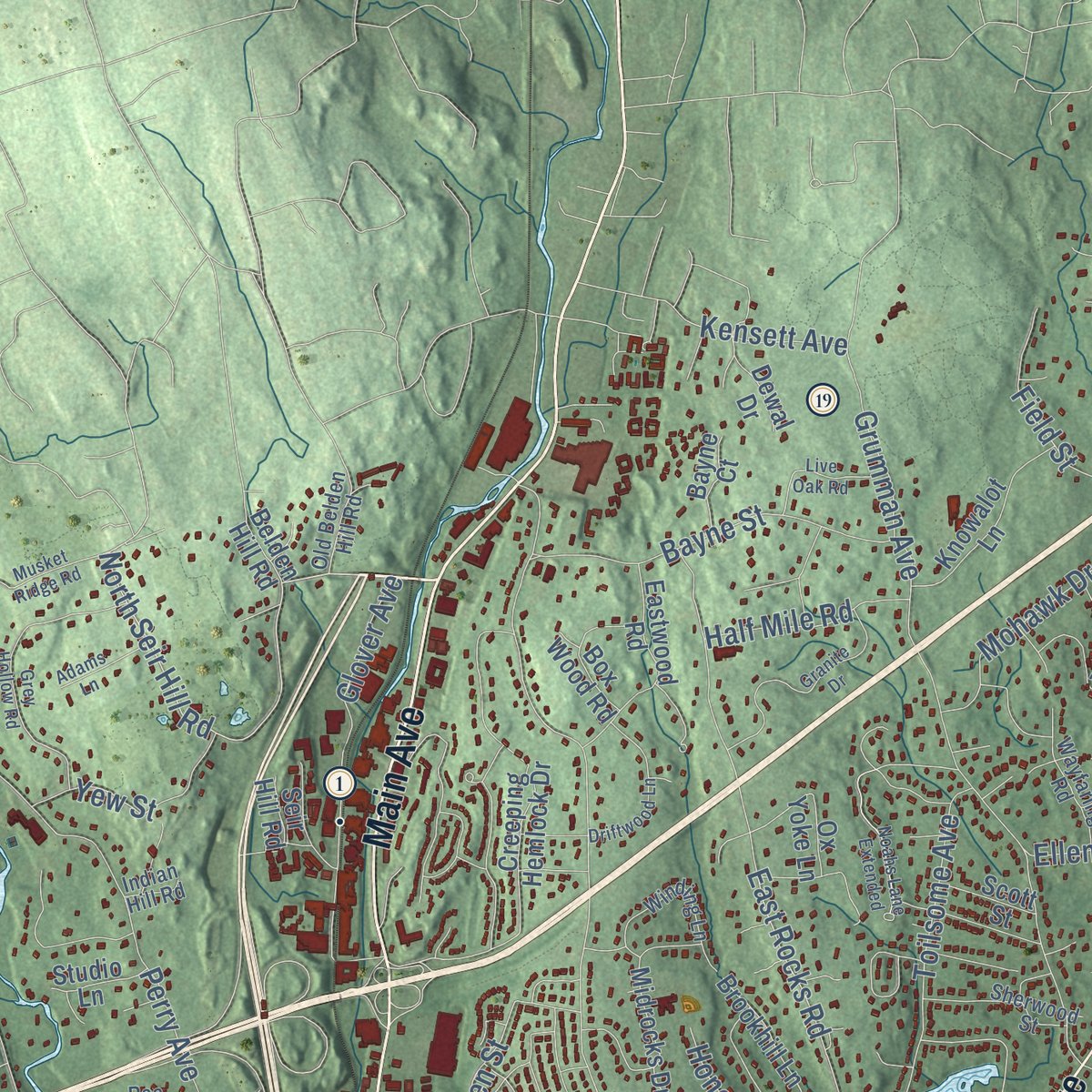
This map was created using accurate cartographic data and authoritative geographic sources, including the U.S. Geological Survey (USGS) and FEMA. The map brings together terrain, waterways, roads, and building detail. The majority of the streets are labeled, houses are accurately depicted, and the topography is derived from government sources. Combining local data with carefully composed color and shading leads to this beautifully detailed Norwalk artwork for your wall.
Rather than simply showing street outlines, we’ve included as many of the street names as we could reasonably fit on the map while keeping their names legible. Zoom in on the high resolution preview to see exactly what’s on the map. We truly set out to create a statement piece for anyone who loves Norwalk. So whether it’s for you, or a gift for someone you love, we hope this map of Norwalk brings back fond memories.
Explore the full map of Norwalk, Connecticut and read about the local places it shows.

Find your street
Names on the Norwalk map
Every name below is printed on this map. Look for your street, your school, the park where you played, or the pond down the road.
Places and landmarks11
- Silvermine
- Cranbury
- Sheffield Island
- Cockenoe Island
- Downtown
- South Norwalk
- West Norwalk
- Shorehaven
- Rowayton
- East Norwalk
- Harborview
Streets and roads290
- Wilson Avenue
- Winfield Street
- Van Buren Avenue
- Water Street
- North Avenue
- Main Street
- Main Avenue
- New Canaan Avenue
- Riverside Avenue
- Chestnut Hill Road
- Connecticut Avenue
- Westport Avenue
- East Avenue
- Newtown Avenue
- West Rocks Road
- Highland Avenue
- Flax Hill Road
- Couch Street
- Stuart Avenue
- Ponus Avenue
- James Street
- Rowayton Avenue
- North Seir Hill Road
- Ells Street
- Gregory Boulevard
- Old Saugatuck Road
- Ward Street
- Murray Street
- Fillow Street
- East Rocks Road
Show all 290 streets
- Silvermine Avenue
- Grumman Avenue
- West Norwalk Road
- Richards Avenue
- Martin Luther King Drive
- Strawberry Hill Avenue
- Perry Avenue
- Wolfpit Avenue
- Scribner Avenue
- West Cedar Street
- Calf Pasture Beach Road
- Comstock Hill Avenue
- William Street
- North Taylor Avenue
- Ely Avenue
- West Avenue
- Witch Lane
- Dry Hill Road
- Glover Avenue
- South Main Street
- Cranbury Road
- County Street
- Weed Avenue
- Bayne Street
- Keeler Avenue
- Spring Hill Avenue
- Toilsome Avenue
- Douglas Drive
- Bouton Street
- Nursery Street
- Fox Run Road
- Roton Avenue
- Valley Road
- Aiken Street
- Rampart Road
- Point Road
- Old Rock Lane
- Linden Street
- Mohawk Drive
- Grandview Avenue
- Broad Street
- Geneva Road
- Devils Garden Road
- Field Street
- Appletree Lane
- Ledgewood Drive
- Saddle Road
- Pequot Drive
- Yew Street
- Partrick Avenue
- Allen Road
- Crescent Street
- Ferris Avenue
- Karen Drive
- Gillies Lane
- Fair Street
- Hills Lane
- Hilltop Road
- Honey Hill Road
- Half Mile Road
- Cottontail Road
- Clinton Avenue
- Hunters Lane
- Beacon Street
- Pine Hill Avenue
- Burchard Lane
- Oakhill Avenue
- Maher Drive
- Lockwood Lane
- Myrtle Street
- King Street
- Seaview Avenue
- Surrey Drive
- Raymond Lane
- Cove Avenue
- Dock Road
- Wilton Avenue
- Berkeley Street
- Kensett Avenue
- Norden Place
- Fulmar Lane
- Eagle Road
- Harbor Avenue
- Lowe Street
- Beau Street
- Lloyd Road
- Ivy Place
- Hunt Street
- Lois Street
- Blake Street
- Ellen Street
- Meadow Street
- Van Zant Street
- Cross Street
- France Street
- Bayview Avenue
- Bartlett Avenue
- Creeping Hemlock Drive
- Princes Pine Road
- Shorehaven Road
- Canfield Avenue
- Midrocks Drive
- Forbell Drive
- Orchard Hill Road
- Taylor Avenue
- George Avenue
- Lexington Avenue
- Maple Street
- Maywood Road
- Walter Avenue
- Marlin Drive
- Eastwood Road
- Knowalot Lane
- Brookhill Lane
- Glen Avenue
- Redcoat Road
- Howard Avenue
- Little Fox Lane
- Thistle Road
- Bluff Avenue
- Crooked Trail
- Starlight Drive
- Heron Road
- Dairy Farm Road
- Ridge Farms Road
- Alvin Drive
- Sasqua Road
- Forest Hill Road
- Nathan Hale Road
- Inwood Road
- Orlando Road
- Ox Yoke Lane
- Pumpkin Lane
- June Avenue
- Hollow Tree Road
- Emerson Street
- Boulder Road
- Bobwhite Drive
- Tod Road
- Richmond Hill Road
- Westmere Avenue
- Dorset Road
- Homer Street
- Vanderbilt Avenue
- Seir Hill Road
- Camp Street
- Chipmunk Lane
- Ohio Avenue
- Brenner Road
- Lovatt Street
- Wall Street
- Lenox Avenue
- Powder Horn Road
- First Street
- Garner Street
- Smith Street
- Bissell Road
- Tally Drive
- Dewal Drive
- Mill Road
- Bayne Court
- Box Wood Road
- Scott Street
- Studio Lane
- South Smith Street
- River Drive
- Tory Hill Lane
- Getner Trail
- Morgan Avenue
- Crest Road
- Silk Street
- Arbor Drive
- Ryan Avenue
- Belair Road
- Belden Hill Road
- Red Barn Lane
- Bartlett Manor
- Ensign Road
- Ann Street
- Carlin Street
- Jacob Street
- April Lane
- Grove Street
- Quintard Avenue
- Longshore Avenue
- Duck Pond Road
- Betmarlea Road
- Rowayton Woods Drive
- Weatherbell Drive
- Fullin Road
- Fort Point Street
- Indian Spring Road
- Algonquin Road
- Neptune Avenue
- Winding Lane
- Lancaster Drive
- Suncrest Road
- Sherwood Street
- Overbrook Road
- Rae Lane
- Wayfaring Road
- Island Drive
- Cossitt Road
- Sammis Street
- Sunrise Hill Road
- Juhasz Road
- Fairview Avenue
- Comber Drive
- Red Oak Lane
- Morton Street
- Old Belden Hill Road
- Merwin Street
- Leonard Street
- Renzulli Road
- Fireside Court
- Craw Avenue
- Lisa Lane
- Willard Road
- Thomes Street
- Devon Avenue
- Slocum Street
- Norport Drive
- Clara Drive
- Victory Court
- Indian Hill Road
- Price Avenue
- Lane Road
- Lori Lane
- Woodward Avenue
- Grey Hollow Road
- Granite Drive
- Noahs Lane Extended
- Birchside Drive
- Shagbark Road
- Thorp Lane
- Chestnut Street
- Pettom Road
- Driftwood Lane
- Holiday Drive
- Glasser Street
- Willow Street
- Hollow Spring Road
- Raymond Terrace
- Live Oak Road
- Thomas Place
- Priscilla Road
- Musket Ridge Road
- Mark Drive
- Maurice Street
- Adams Lane
- Timothy Road
- Sachem Street
- Country Club Road
- Lufberry Avenue
- Hazel Street
- Frost Street
- Daphne Drive
- Knorr Street
- May Drive
- Ruby Street
Names are listed as they appear on the printed map. Zoom into the product photos to find them.
About Norwalk, Connecticut
Norwalk is a city of 91,184 people in Fairfield County, where the Norwalk River meets Long Island Sound. In 1640 Roger Ludlow purchased the ground on the river's east bank from Chief Mahackemo, and Daniel Patrick bought the west side. Richard Olmsted and Nathaniel Ely came down from Hartford as the first settlers in 1649, fourteen others joined them, and on September 11, 1651, the Connecticut Colony's General Court made Norwalk a town.
Through the 1800s, oyster beds, hat factories and steamboats to New York built up the old landing at Old Well. In 1870 that village became a city of its own, South Norwalk, and Dudley P. Ely served as its first mayor. The two cities stayed separate for forty years, until South Norwalk and the rest of Norwalk were combined in 1910 to form the present city.
“We call it the battle of Norwalk, for such it really was.”
- Burned by Tryon in 1779General Tryon's fleet anchored off Norwalk on the night of July 10, 1779. His troops camped at Cow Pasture, and a Tory regiment rowed flat boats over to Old Well. The raiders still burned 4 mills, 5 vessels, 25 shops, 89 barns and 135 dwellings.
- The house a housekeeper savedOn Grumman's Hill, one housekeeper stood up to Tryon himself, and the Belden house was spared. The Daughters of the American Revolution marked the spot in 1904 with a tablet on that hill along East Avenue.
- Oysters and hatsIn 1721 the town voted to keep outsiders from raking oysters in its harbors and coves. By 1825 Norwalk had eleven hat factories, and from 1834 the Patent Carpet Company pressed hatters' felt into carpet, 200 yards a day, with no spinning or weaving. By 1880 oysters led the local economy, and around 1900 Andrew Radel ran a fleet of thirty oyster boats from South Norwalk, so people called him the nation's largest owner of oyster beds.
- Ferries and steamboatsThree years later, Cornelius Vanderbilt's Nimrod brought the fare down to a shilling.
- The open draw in 1853On May 6, 1853, an express train plunged through the open drawbridge and into the Norwalk River. Many of the dead were doctors on their way home from a convention. The spot is now crossed by the New Haven Railroad's 1896 swing bridge, whose turning span is 202 feet long. The Norwalk River Railroad Bridge joined the National Register in 1987.
Keep exploring Connecticut
Norwalk is one of 376 Connecticut towns we've mapped. Every dot on the map is a print of its own.
The search covers every state, Connecticut first.
Near Norwalk
Order 2 or more town maps and save 10%. Shown in the size and finish you picked above, so they hang as a set.
- Darien Downtown 12" x 18" / Archival Matte Print $39.99
- Saugatuck 12" x 18" / Archival Matte Print $39.99
- Tokeneke 12" x 18" / Archival Matte Print $39.99
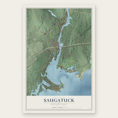

More maps nearby: Compo, Darien, Noroton Heights, Noroton and Westport.
The art of mapping a place
How This Map Was Made
Real places. Remarkable detail. Discover the layers that turn geographic data into a map of home.

The view from above
Aerial imagery reveals the character of the land: woodland, open fields, and the patterns of a place.

The shape of the land
Elevation data brings hills, valleys, and subtle changes in the landscape into view.

The details of home
Roads, waterways, and building footprints come together to make the map feel unmistakably local.

Geography becomes art
Considered color, shading, and typography bring the layers together in a map made for your wall.


Process illustrated with Mendon, Massachusetts. Aerial imagery: USDA NAIP. Terrain: USGS 3D Elevation Program. Map details and finished artwork: KNOWOL.
The Details
About This Print
Choose an archival matte print, or a black or white Ayous wood frame. The archival matte print is unframed.
Select your size and finish above to see the matching product image and price.
Materials & Craftsmanship
A contemporary map with the character of a classic atlas, printed on archival matte paper. Optional frames are made from Ayous wood.
Your printed map does not include the watermark shown in the full-map preview.
Shipping & Delivery
Free shipping within the United States. Every print is made to order in the USA.
Buying a gift? Add a note in your cart and we'll include it. We never put prices in the package.
Prints ship within 2 to 3 business days. Allow 7 to 10 days total from ordering for delivery. Timing may vary during holidays or periods of high order volume.
Read our shipping policy.
Returns and damaged prints
Each print is made to order. Change-of-mind refunds are not available after production.
If your print arrives damaged, misprinted or incorrect, contact support@knowol.com within 30 days of receiving it. Include your order number, photos and a description of the issue.
Read our full refund and replacement policy. For questions about your order, email support@knowol.com.