
Search for another town
Free U.S. delivery 7 to 10 days after you order
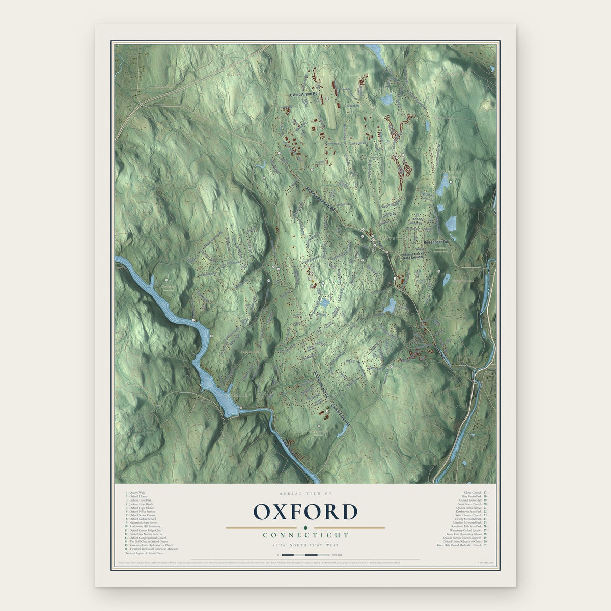
Oxford, Connecticut Map Art
Building by building, with labeled streets and shaded relief.
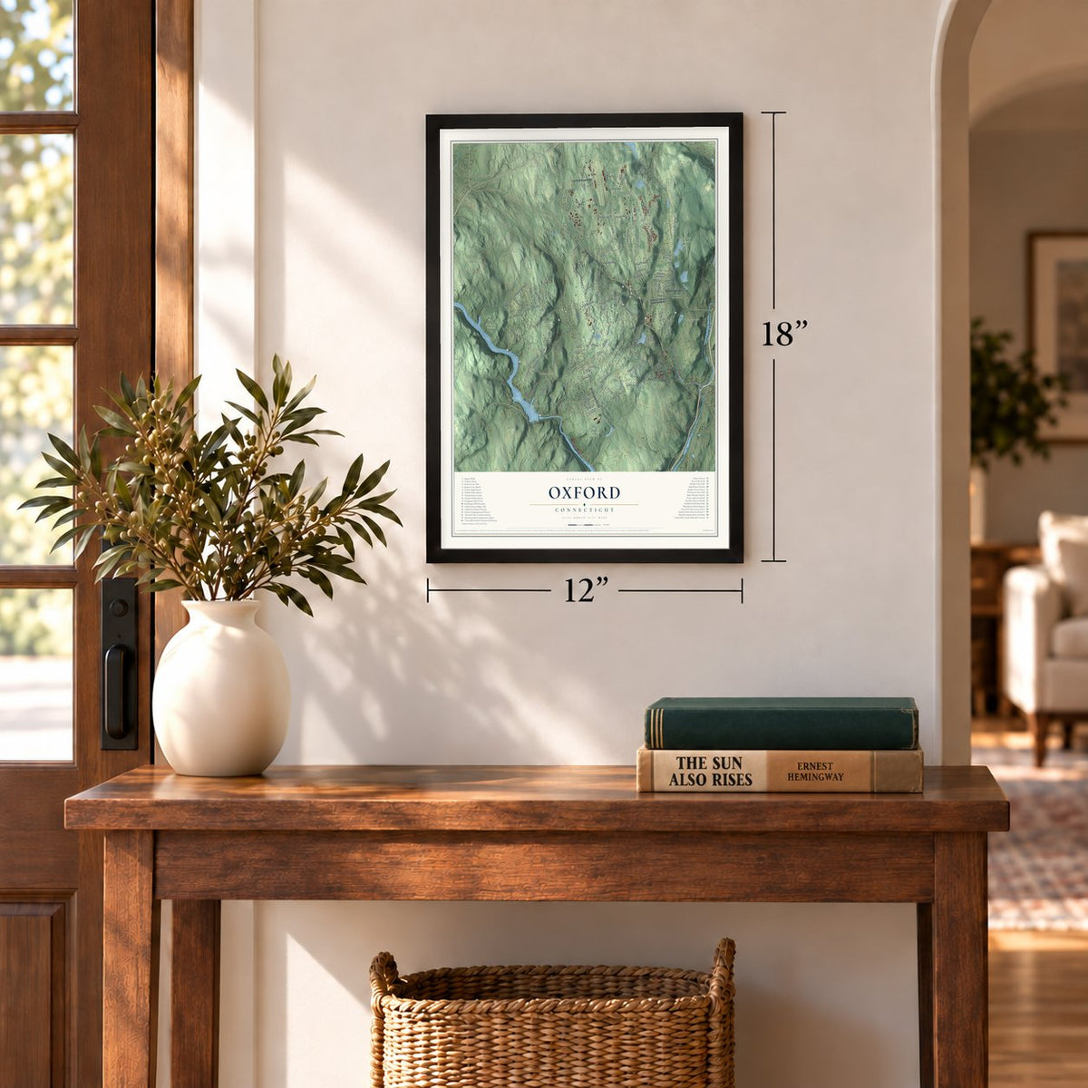
12" x 18" Archival Matte Print
A Map of Home. A Work of Art.
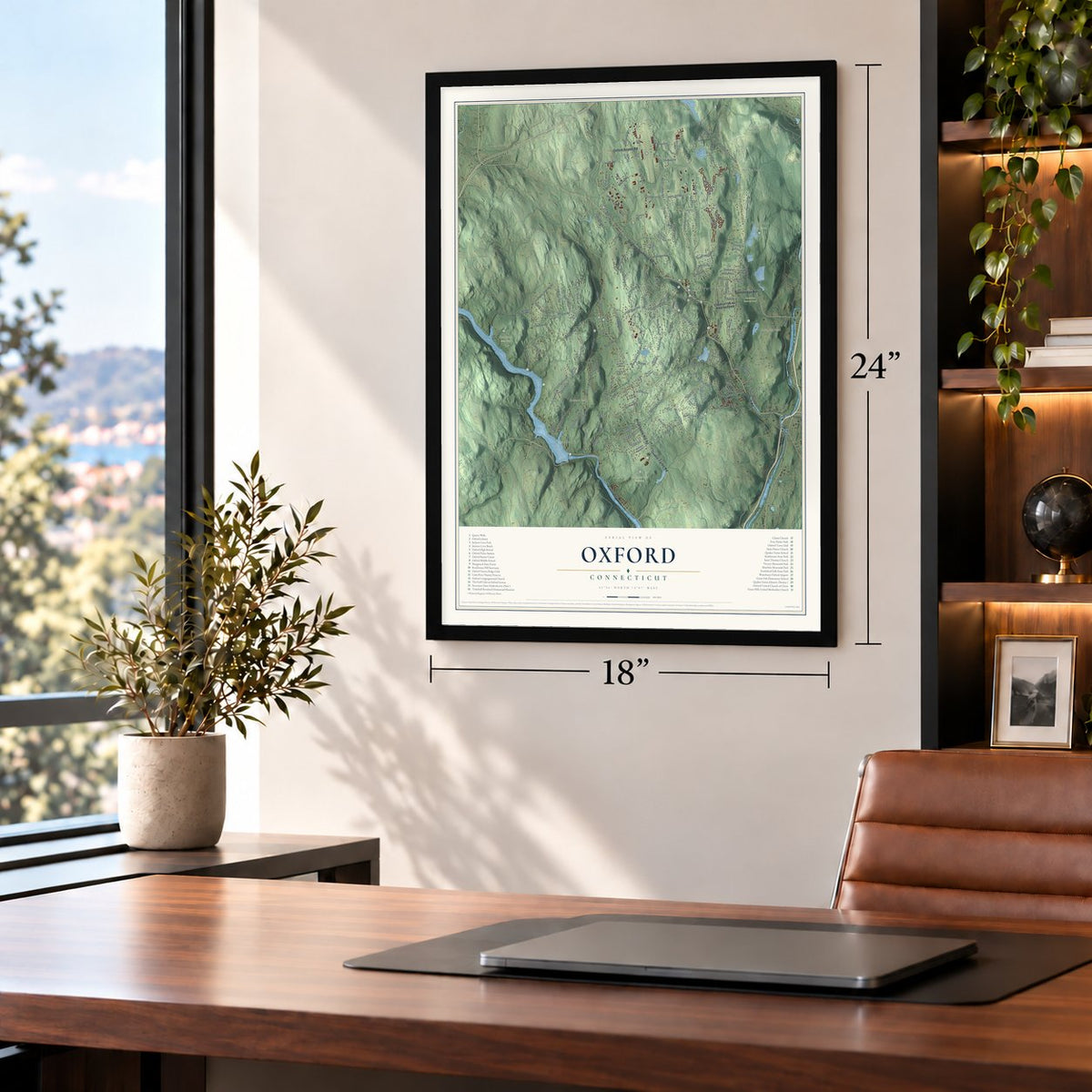
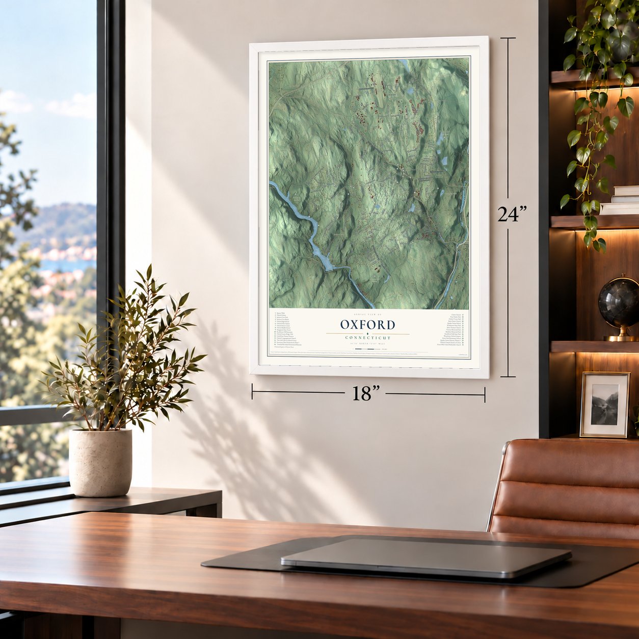
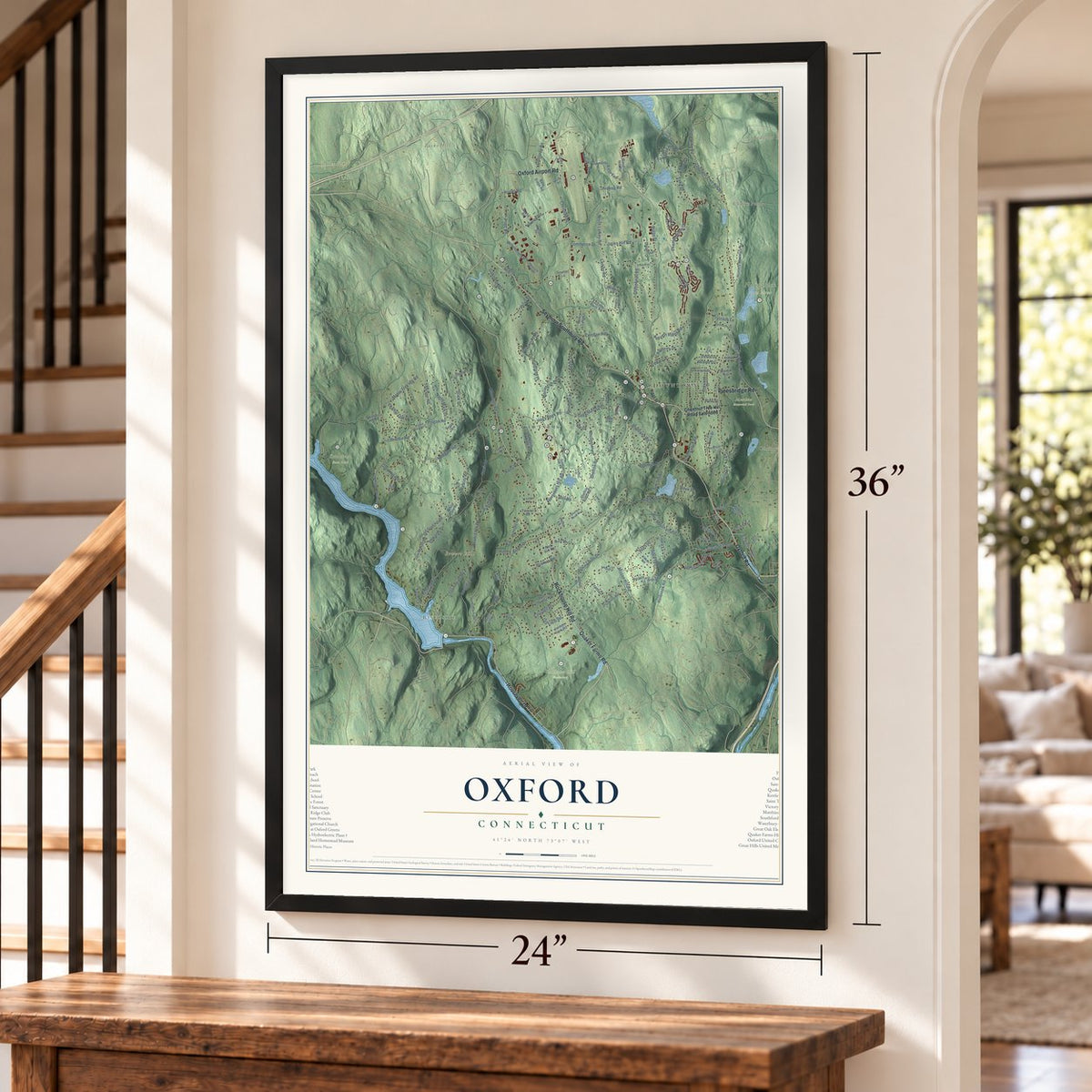
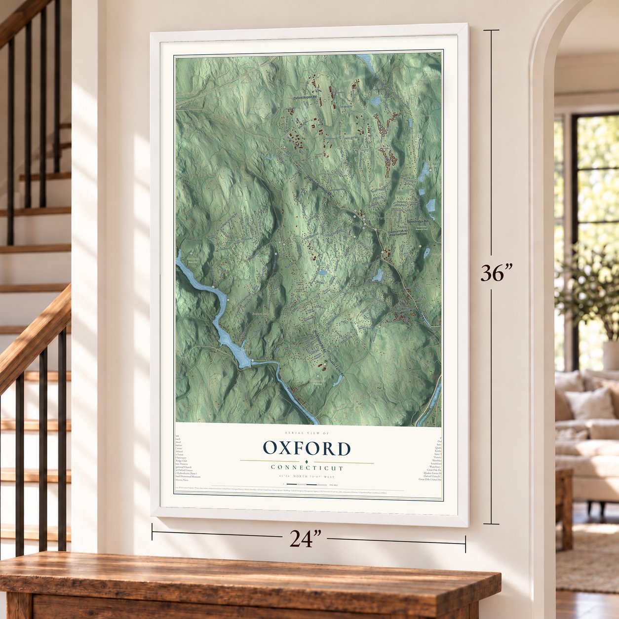
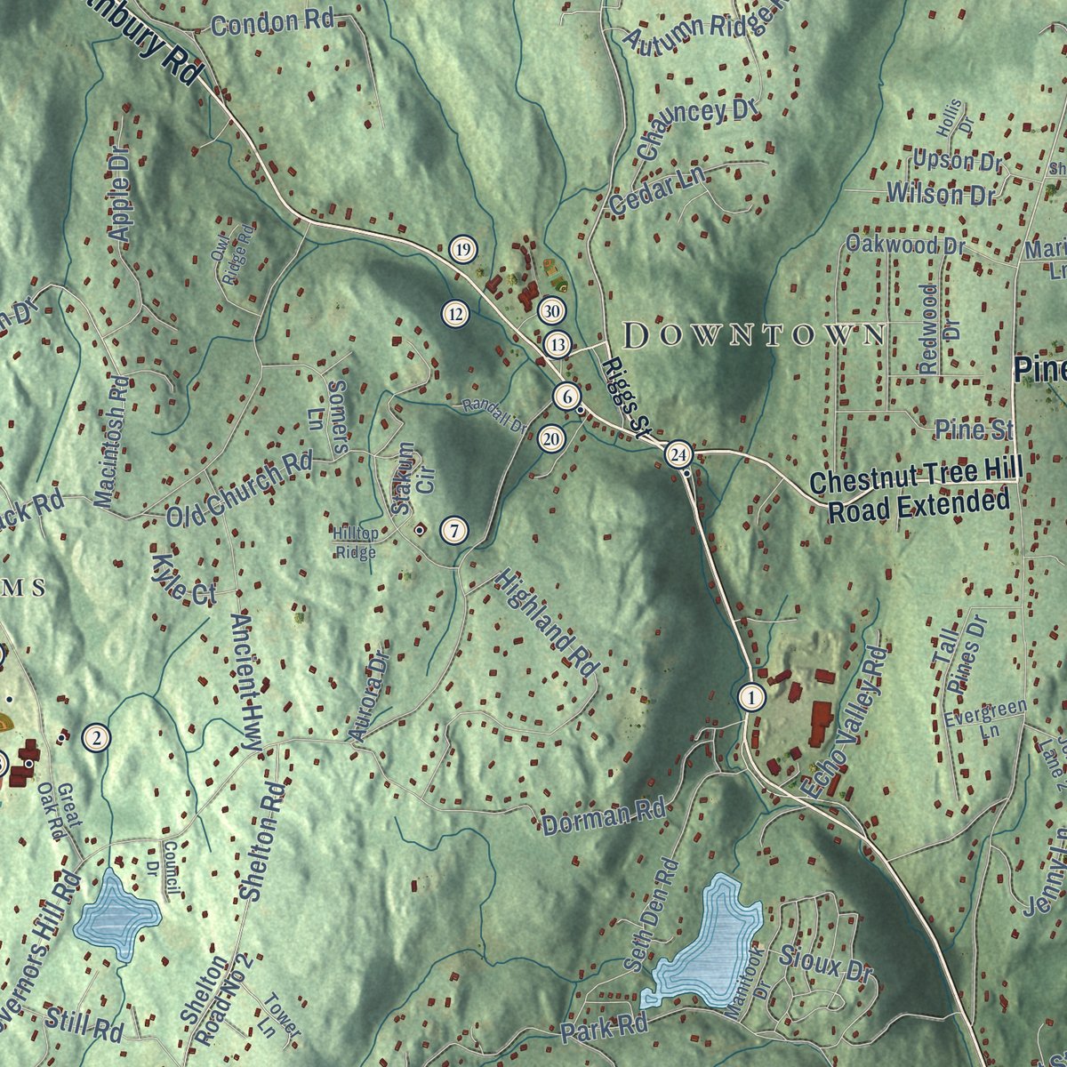
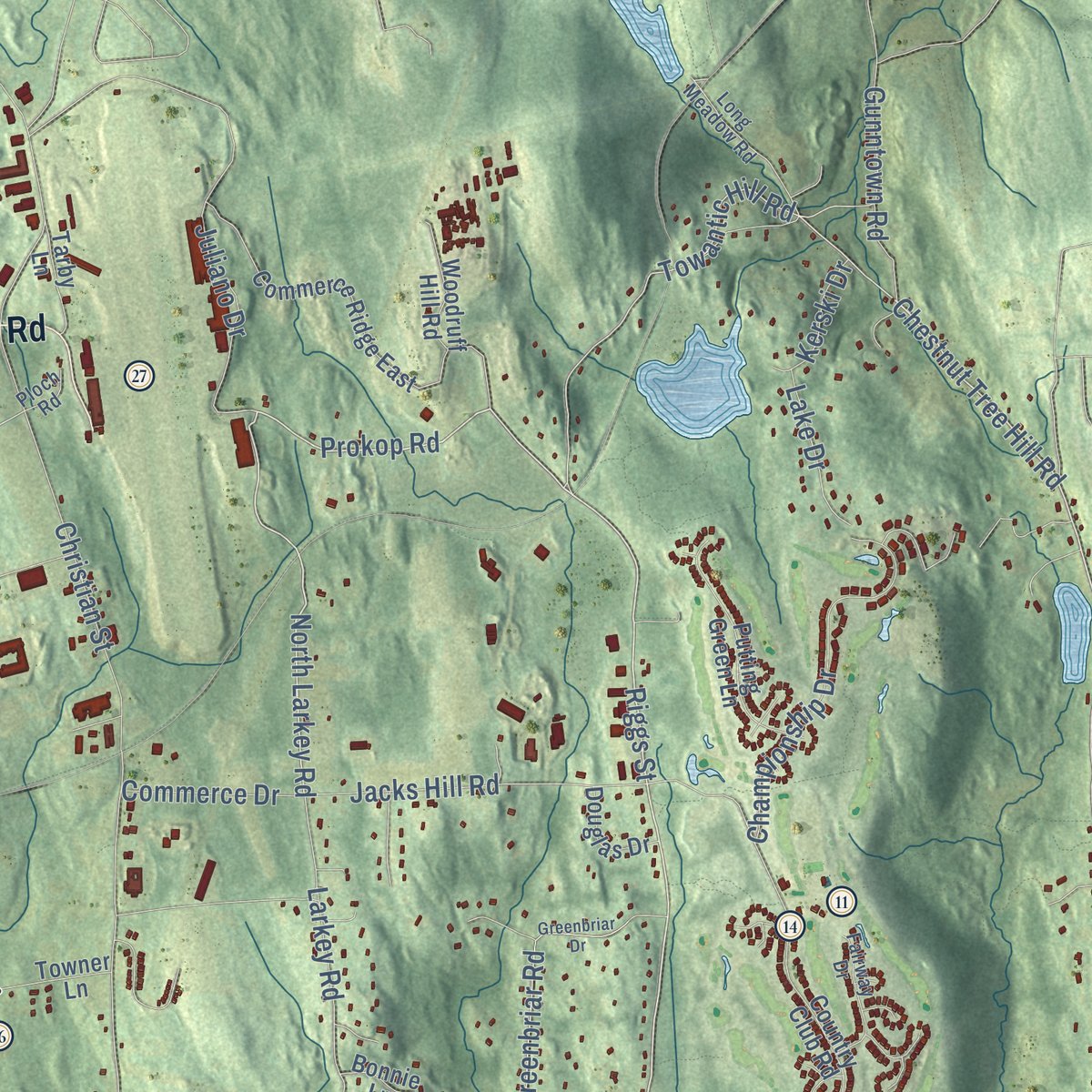
Explore Oxford, Connecticut from a whole new perspective. Created using aerial imagery and detailed geographic data, this map captures Oxford building by building, with labeled streets, familiar landmarks, and shaded topographical relief that highlights the natural contours of the landscape.
Combining modern data with the timeless character of a vintage atlas, this map is just as interesting up close as it is beautiful on the wall. Whether you grew up in Oxford, spent memorable years there, or call it home today, this unique map is a great way to celebrate a place that means something to you. Zoom in on the preview to look for your street, and then order a print to put your memories on the wall.

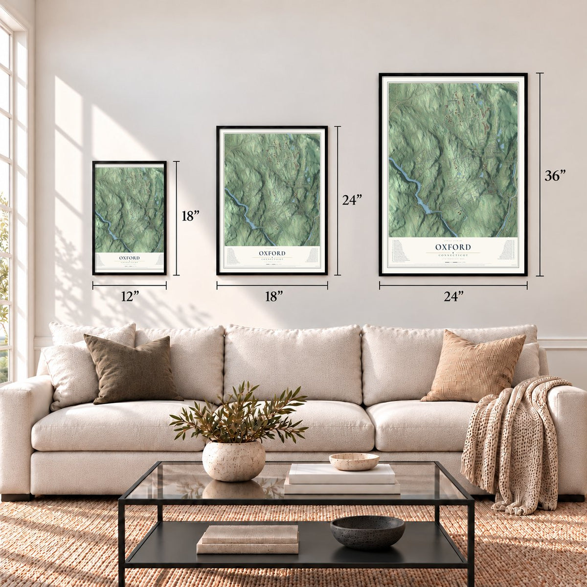
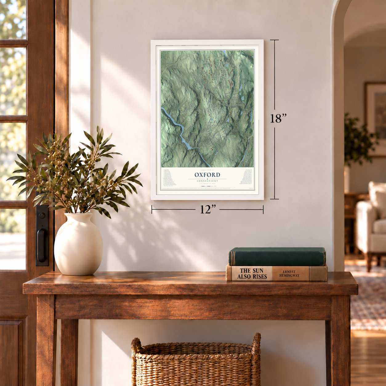
Three ways to hang it
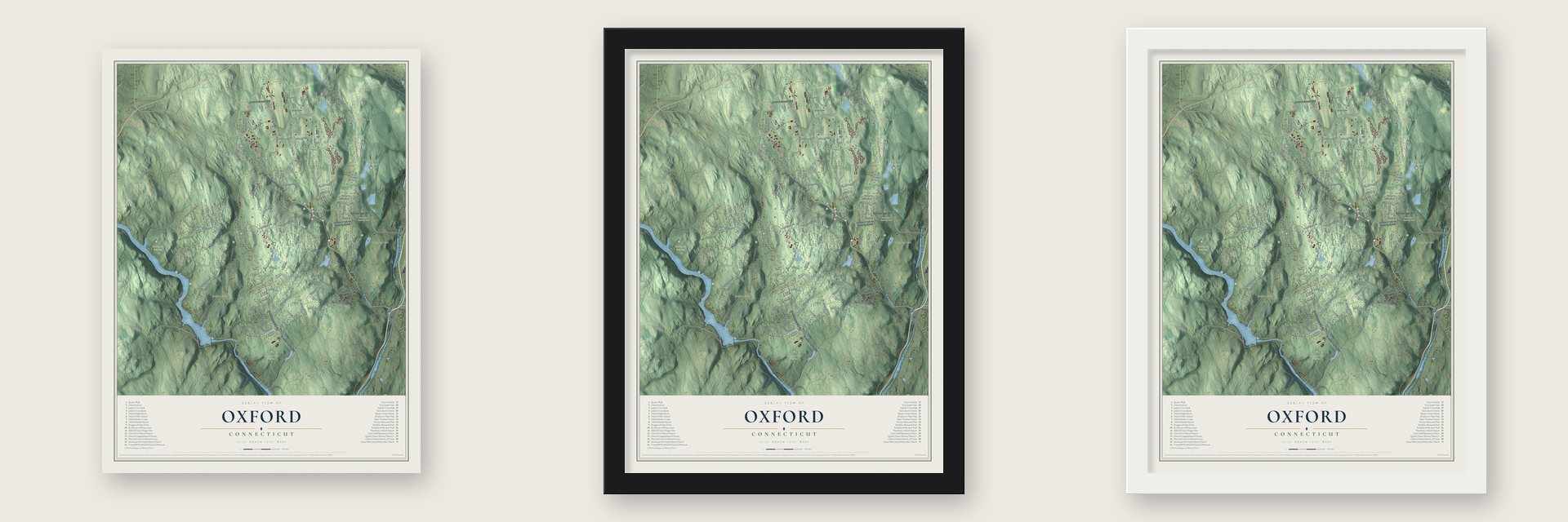
Unframed archival matte, a black wood frame or a white wood frame.
Up close
Geography Worth Displaying
This map was created using accurate cartographic data and authoritative geographic sources, including the U.S. Geological Survey (USGS) and FEMA. The map brings together terrain, waterways, roads, and building detail. The majority of the streets are labeled, houses are accurately depicted, and the topography is derived from government sources. Combining local data with carefully composed color and shading leads to this beautifully detailed Oxford artwork for your wall.
Rather than simply showing street outlines, we’ve included as many of the street names as we could reasonably fit on the map while keeping their names legible. Zoom in on the high resolution preview to see exactly what’s on the map. We truly set out to create a statement piece for anyone who loves Oxford. So whether it’s for you, or a gift for someone you love, we hope this map of Oxford brings back fond memories.
Explore the full map of Oxford, Connecticut and read about the local places it shows.
Find your street
Names on the Oxford map
Every name below is printed on this map. Look for your street, your school, the park where you played, or the pond down the road.
Places and landmarks13
- Downtown
- Andrews Hill
- Bowers Hill
- Bucks Hill
- Bullet Hill
- Carrington Pond
- Chanko Pond
- Kettletown State Park
- Matthies Memorial Park
- Naugatuck State Forest
- Rockhouse Hill Sanctuary
- Quaker Farms
Show all 13 places
- Riverside
Streets and roads180
- Rockhouse Hill Road
- Pinesbridge Road
- Oxford Road
- Seymour Southbury Road
- Quaker Farms Road
- Roosevelt Drive
- Oxford Airport Road
- Riggs Street
- North Larkey Road
- Prokop Road
- Chestnut Tree Hill Road
- Holbrook Road
- Peach Farm Road
- Bowers Hill Road
- Towantic Hill Road
- Hurley Road
- Christian Street
- Governors Hill Road
- Park Road
- Moose Hill Road
- Hogs Back Road
- Punkup Road
- Good Hill Road
- Freeman Road
- Maple Tree Hill Road
- Jacks Hill Road
- Newgate Road
- Greenbriar Road
- Hawley Road
- Macintosh Drive
Show all 180 streets
- Edmonds Road
- Coppermine Road
- Shelton Road
- Oneil Road
- Rolling Hills Drive
- Dorman Road
- Great Hill Road
- Larkey Road
- Loughlin Road
- Bee Mountain Road
- Meadow Brook Road
- Pisgah Road
- Juliano Drive
- Highland Road
- Old Church Road
- Championship Drive
- Tram Drive
- East Street
- Donovan Road
- Old Litchfield Turnpike
- Silano Drive
- Cortland Place
- Willenbroch Road
- Rees Drive
- Perkins Road
- Still Road
- Thorson Road
- Charter Oak Drive
- Reality Road
- Ancient Highway
- Pope Road
- Barry Road
- Autumn Ridge Road
- Silva Terrace
- Chauncey Drive
- Scott Drive
- Apple Drive
- Gunntown Road
- North Mark Drive
- Fairfield Road
- Old Farm Road
- Carriage Drive
- Sioux Drive
- Deerwood Road
- Edwards Drive
- Oakcrest Road
- Echo Valley Road
- Pine Street
- Commerce Drive
- Wilson Drive
- Cedar Lane
- Krystalle Lane
- Jenny Lane
- Condon Road
- Lake Drive
- Laura Lane
- Sunrise Drive
- Labordie Road
- Kerski Drive
- Perry Lane
- West Street
- Kyle Court
- Chestnut Tree Hill Road Extended
- Country Club Road
- Macintosh Road
- Belinsky Circle
- Oakwood Drive
- Shelton Road No 2
- Commerce Ridge East
- Hemlock Trail
- Seth Den Road
- Captain Wooster Road
- Old Good Hill Road
- Towner Lane
- Jackson Cove Road
- Jensen Farm Road
- Hunters Mountain Road
- Putting Green Lane
- White Gate Road
- Woodruff Hill Road
- Bishop Road
- Old Country Road
- Jem Woods Road
- Tall Pines Drive
- Morse Road
- Somers Lane
- Hillside Terrace
- Stakum Circle
- Redwood Drive
- Nancy Lynn Lane
- Georges Hill Road
- Country Farm Road
- Bala Ridge Road
- Douglas Drive
- Tarby Lane
- Wedge Hill Drive
- Knorr Road
- Upson Drive
- Aurora Drive
- East Hill Road
- Tilquist Road
- Joseph Drive
- Sarah Drive
- Rome Lane
- Hart Court
- Wood Road
- Marian Lane
- Bonnie Lane
- Nod Hill Road
- Lisa Drive
- Great Oak Road
- Wyant Road
- Edgewood Road
- Long Meadow Road
- Evergreen Lane
- Svehlak Drive
- Shelton Road No 1
- Fairway Drive
- Lisbon Terrace
- Pheasant Run Road
- Fiddlehead Road
- Wychwood Lane
- Manitook Drive
- Tower Lane
- Nichols Road
- Jenny Lane 2
- Wisteria Lane
- Crozier Court
- Ploch Road
- Lolly Lane
- Bice Drive
- Pisgah Road No 2
- Greenbriar Drive
- Cedarstone Road
- Spruce Hill Drive
- Old State Road 1
- Cold Spring Drive
- Owl Ridge Road
- Sheldon Drive
- Randall Drive
- Charles Road
- Hawkins Road
- Heavenly Lane
- Hilltop Ridge
- Council Drive
- Flora Lane
- Heather Lane
- Hollis Drive
- Tetlak Lane
- Goffin Court
Names are listed as they appear on the printed map. Zoom into the product photos to find them.
About Oxford, Connecticut
Oxford is a town of 12,706 people in New Haven County, and the Housatonic River forms its western edge. It became a separate parish of Derby in 1741, and for years afterward its people asked to be a town of their own. Derby always called its town meeting for nine in the morning, but by custom nobody opened it before one in the afternoon.
So in 1798 the Oxford voters formed a procession on their main street and walked together to the Derby town house, with their minister along to offer the prayer. The meeting began right at nine o'clock. By the time Derby riders had gathered enough voters, Oxford had already elected the town clerk and won a vote putting half of all future town meetings in Oxford. The town was incorporated that October, and its first meeting that November drew a full house despite deep snow.
“This new instance of liberality excited additional interest in the hardworking Oxford farmer, whose example had now placed him at the head of the benefactors of this ancient literary institution.”
- Who was the Quaker?Old records call the village Quaker's Farm as early as 1683, yet no one ever found out who the Quaker was. In 1722 Abraham Wooster, whose son became General David Wooster, purchased land there, where he farmed and ran a sawmill. John Griffin, born in 1725 as the village's first English child, later fought at Quebec under Wolfe. Christ Church, a wooden church in the Federal and Gothic styles, was built in 1812 and still stands at its heart.
- A farmer's gift to YaleSheldon Clark, born in Oxford in 1785, grew up with a grandfather who thought college a waste of money. When the old man died in 1811, Clark spent one winter studying at Yale and then returned to his farm.
- A telescope made to orderIn 1829 Clark gave Yale another gift, a telescope he had ordered built, with a focal length of ten feet.
- Mills on the Little RiverThe Wooster mill site on the Little River was at work from at least 1747 until 1965, cutting lumber, grinding grain and pressing cider. Captain John Wooster bought it about 1750. Joe Montriski built the present mill building in the 1920s and kept it running until he died in 1965, and the mill stopped with him. It's now a private home.
- The first high dam, 1919The Connecticut Light and Power Company began the Stevenson Dam in 1917, and about 800 men built it, housed at Camp Crisfield. As the Housatonic's first high dam, it started generating electricity in 1919. Lake Zoar filled in behind it and covered Pleasant Vale, once part of Oxford. Route 34 runs across the dam on its built-in bridge, and the 131-foot powerhouse sits on the Monroe side. The plant joined the National Register in 2000.
Keep exploring Connecticut
Oxford is one of 382 Connecticut towns we've mapped. Every dot on the map is a print of its own.
The search covers every state, Connecticut first.
Near Oxford
Order 2 or more town maps and save 10%. Shown in the size and finish you picked above, so they hang as a set.
- Quaker Farms 12" x 18" / Archival Matte Print $39.99
- Southbury 12" x 18" / Archival Matte Print $39.99
- Beacon Falls 12" x 18" / Archival Matte Print $39.99


More maps nearby: Seymour, Heritage Village, Sandy Hook, Middlebury and Naugatuck.
The art of mapping a place
How This Map Was Made
Real places. Remarkable detail. Discover the layers that turn geographic data into a map of home.

The view from above
Aerial imagery reveals the character of the land: woodland, open fields, and the patterns of a place.

The shape of the land
Elevation data brings hills, valleys, and subtle changes in the landscape into view.

The details of home
Roads, waterways, and building footprints come together to make the map feel unmistakably local.

Geography becomes art
Considered color, shading, and typography bring the layers together in a map made for your wall.


Process illustrated with Mendon, Massachusetts. Aerial imagery: USDA NAIP. Terrain: USGS 3D Elevation Program. Map details and finished artwork: KNOWOL.
The Details
About This Print
Choose an archival matte print, or a black or white Ayous wood frame. The archival matte print is unframed.
Select your size and finish above to see the matching product image and price.
Materials & Craftsmanship
A contemporary map with the character of a classic atlas, printed on archival matte paper. Optional frames are made from Ayous wood.
Your printed map does not include the watermark shown in the full-map preview.
Shipping & Delivery
Free shipping within the United States. Every print is made to order in the USA.
Buying a gift? Add a note in your cart and we'll include it. We never put prices in the package.
Prints ship within 2 to 3 business days. Allow 7 to 10 days total from ordering for delivery. Timing may vary during holidays or periods of high order volume.
Read our shipping policy.
Returns and damaged prints
Each print is made to order. Change-of-mind refunds are not available after production.
If your print arrives damaged, misprinted or incorrect, contact support@knowol.com within 30 days of receiving it. Include your order number, photos and a description of the issue.
Read our full refund and replacement policy. For questions about your order, email support@knowol.com.