
Search for another town


Free U.S. delivery 7 to 10 days after you order
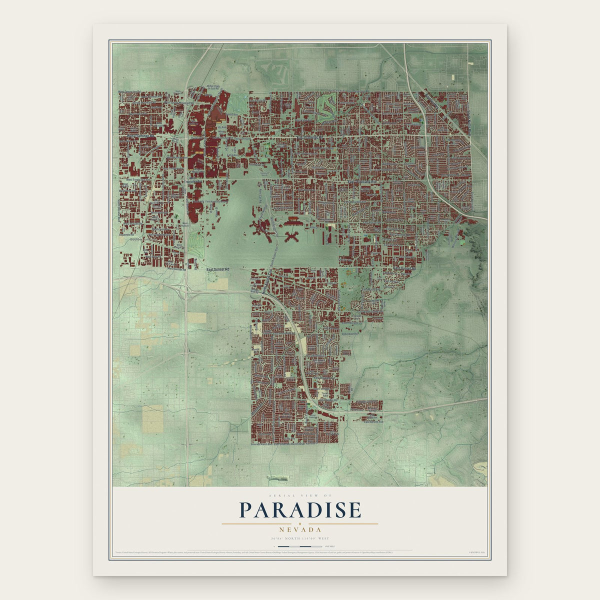
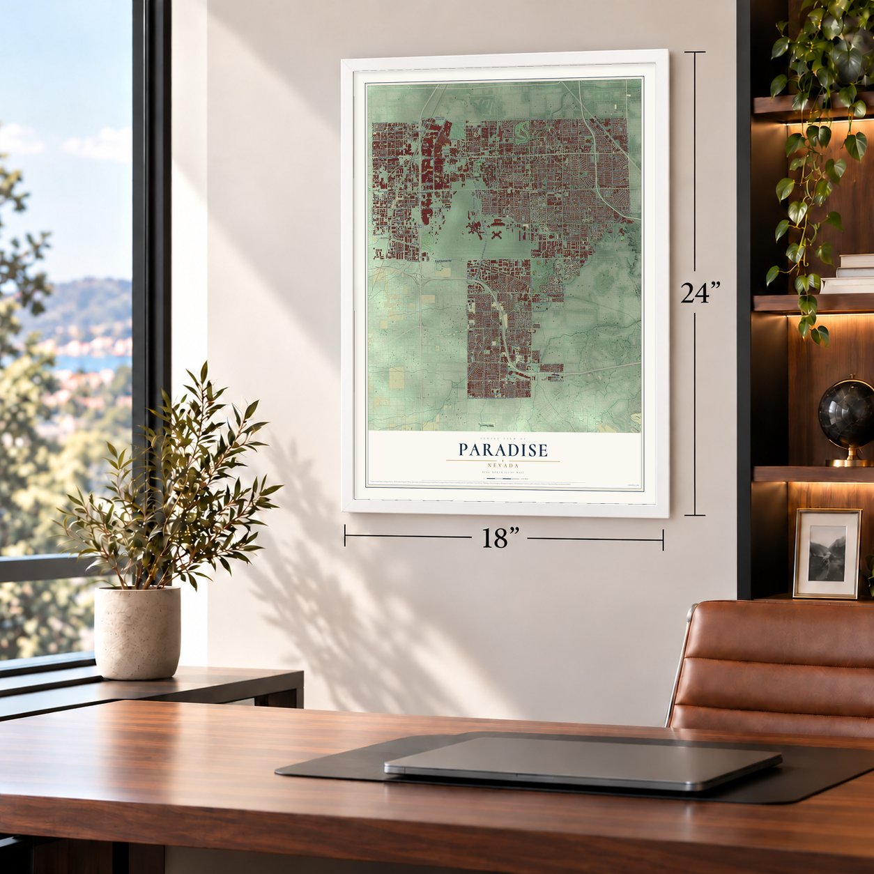
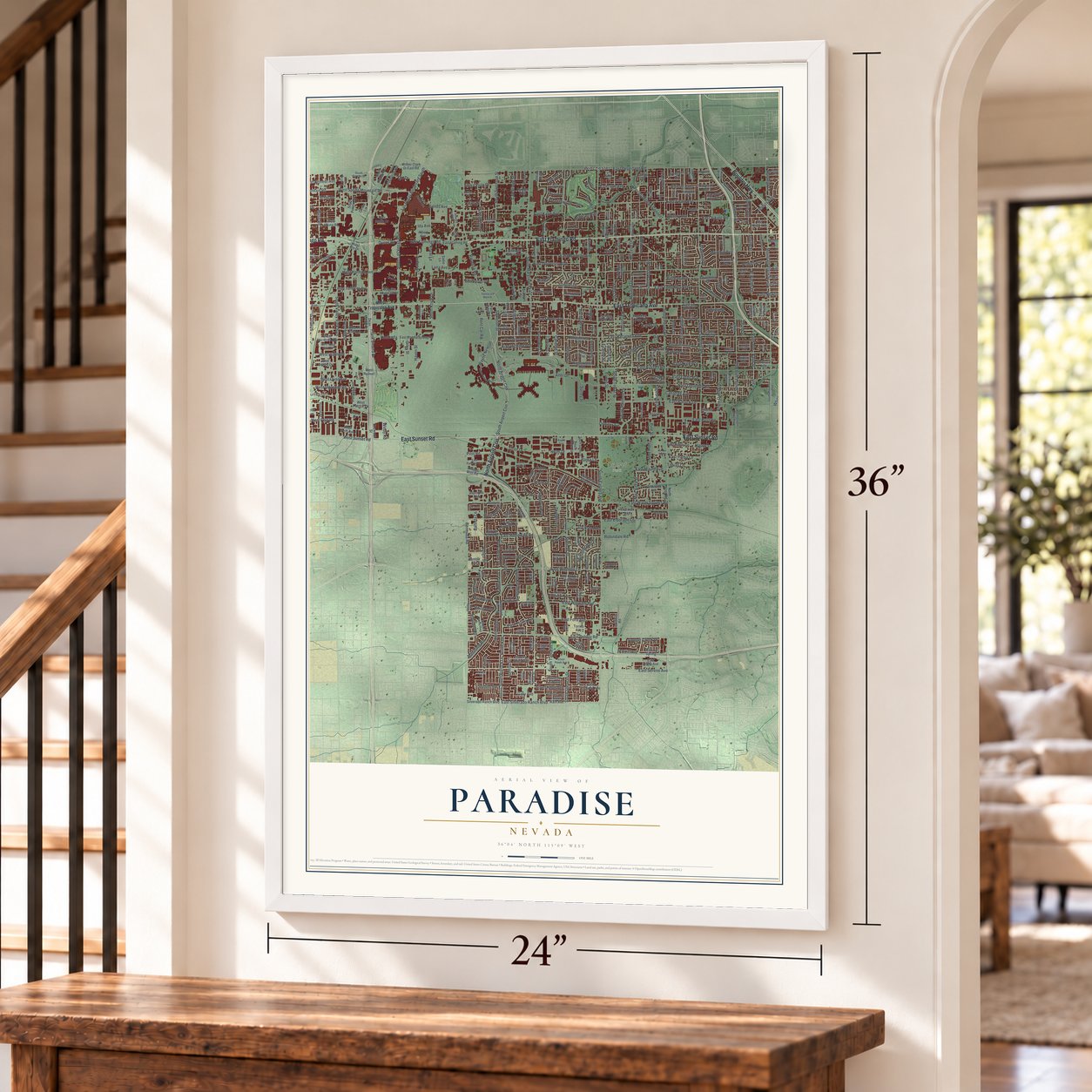
Paradise, Nevada Map Art
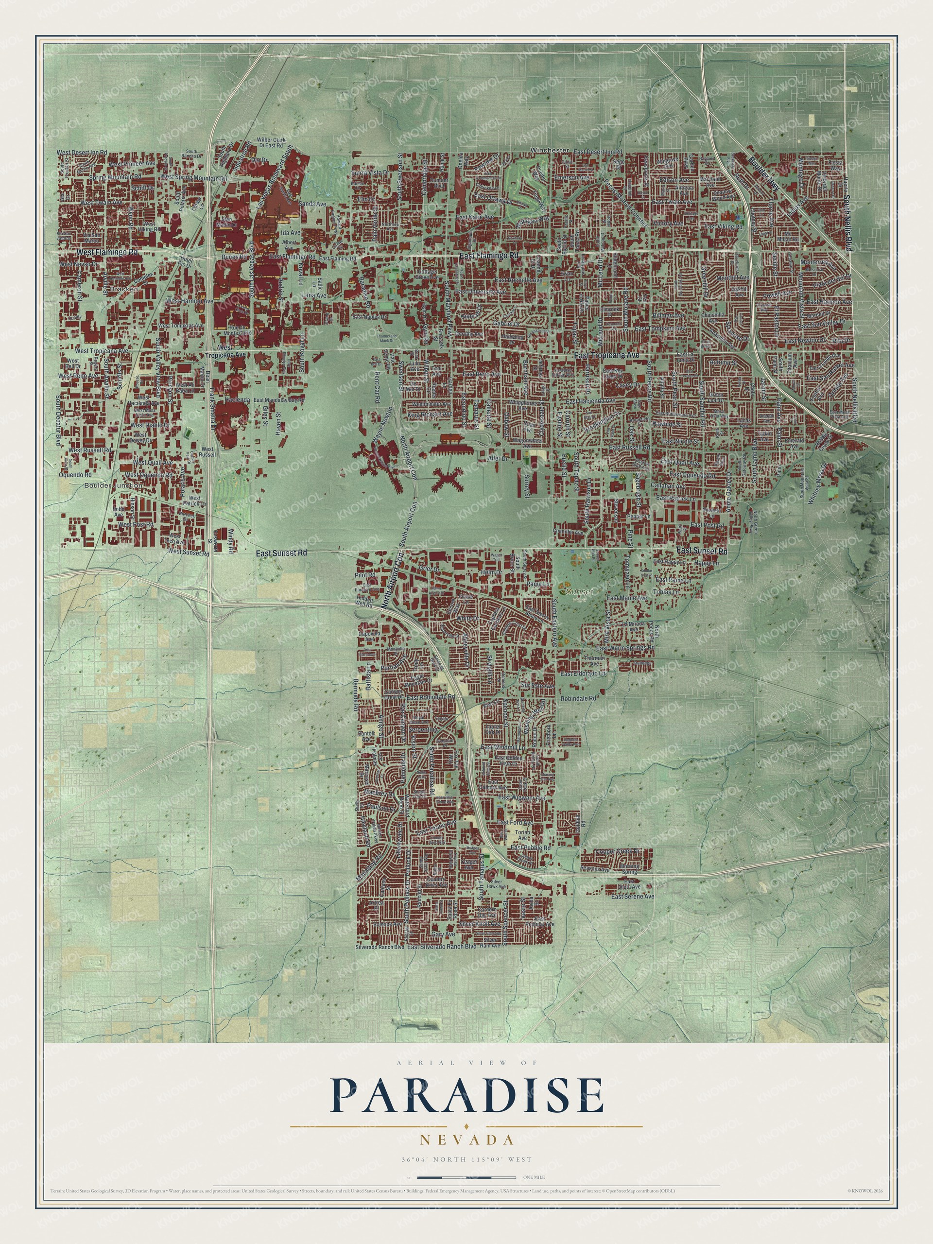
Building by building, with labeled streets and shaded relief.
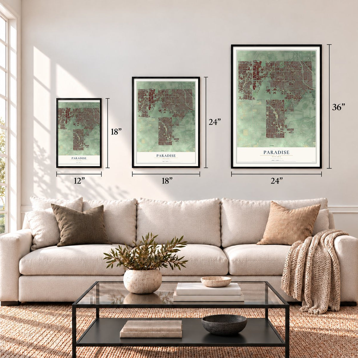
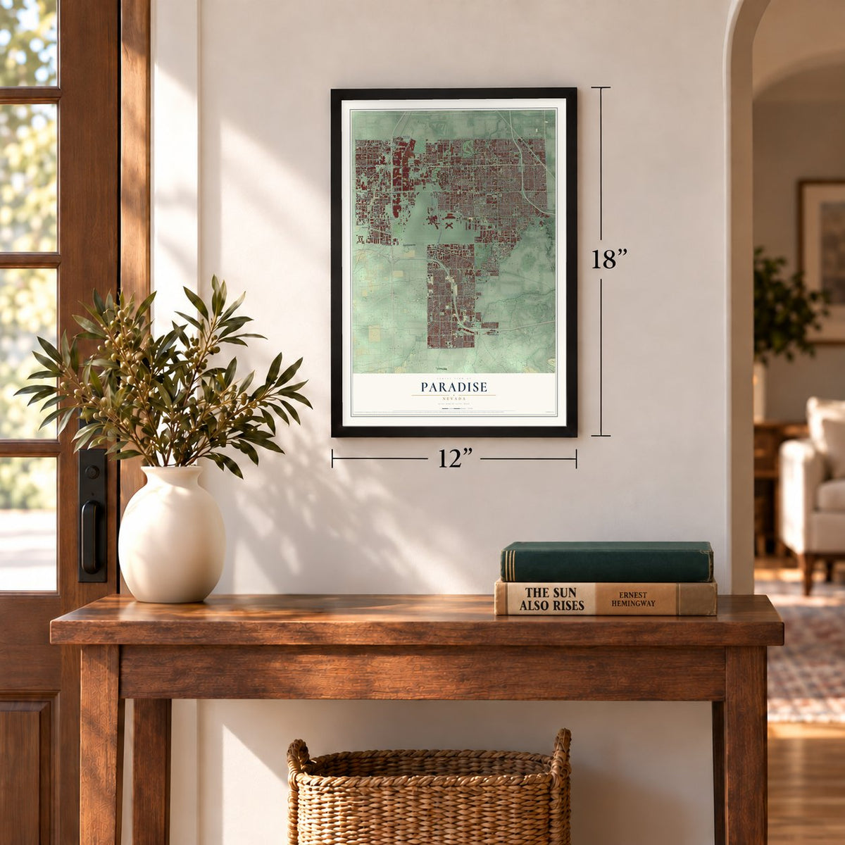
12" x 18" Archival Matte Print
A Map of Home. A Work of Art.
Explore Paradise, Nevada from a whole new perspective. Created using aerial imagery and detailed geographic data, this map captures Paradise building by building, with labeled streets, familiar landmarks, and shaded topographical relief that highlights the natural contours of the landscape.
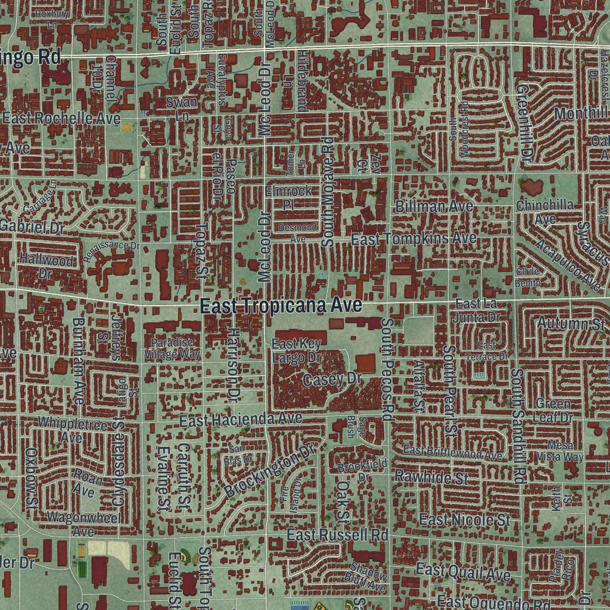
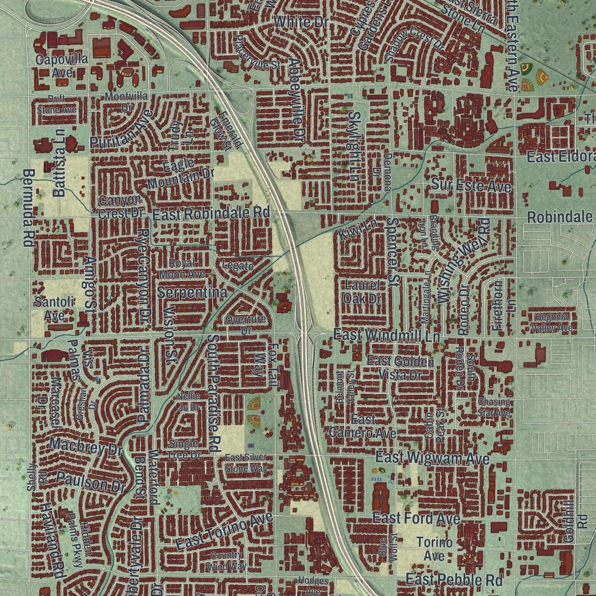
Combining modern data with the timeless character of a vintage atlas, this map is just as interesting up close as it is beautiful on the wall. Whether you grew up in Paradise, spent memorable years there, or call it home today, this unique map is a great way to celebrate a place that means something to you. Zoom in on the preview to look for your street, and then order a print to put your memories on the wall.
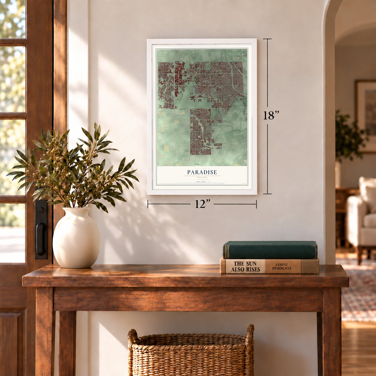
Three ways to hang it
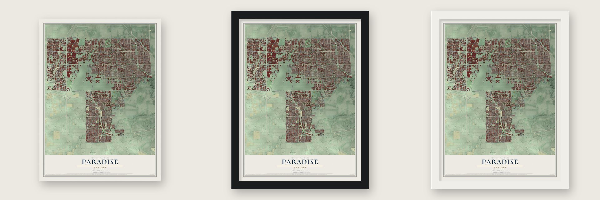
Unframed archival matte, a black wood frame or a white wood frame.
Up close
Geography Worth Displaying
This map was created using accurate cartographic data and authoritative geographic sources, including the U.S. Geological Survey and the Census Bureau. The map brings together terrain, waterways, roads, and building detail. The majority of the streets are labeled, houses are accurately depicted, and the topography is derived from government sources. Combining local data with carefully composed color and shading leads to this beautifully detailed Paradise artwork for your wall.
Rather than simply showing street outlines, we’ve included as many of the street names as we could reasonably fit on the map while keeping their names legible. Zoom in on the high resolution preview to see exactly what’s on the map. We truly set out to create a statement piece for anyone who loves Paradise. So whether it’s for you, or a gift for someone you love, we hope this map of Paradise brings back fond memories.
Read the story behind this map of Paradise, Nevada from 2026.
Find your street
Names on the Paradise map
Every name below is printed on this map. Look for your street, your school, the park where you played, or the pond down the road.
Places and landmarks4
- Bracken
- Boulder Junction
- Sunset Park
- Winchester
Streets and roads447
- South Nellis Boulevard
- North Airport Con
- East Flamingo Road
- East Tropicana Avenue
- East Sunset Road
- Boulder Highway
- West Flamingo Road
- South Maryland Parkway
- Annie Oakley Drive
- South Lamb Boulevard
- Pollock Drive
- East University Avenue
- Palm Street
- Palm Avenue
- White Drive
- Happy Lane
- Monthill Avenue
- Greenhill Drive
- McLeod Drive
- Mc Leod Drive
- Bermuda Road
- Burnham Avenue
- Syracuse Drive
- Jarom Street
- South Topaz Street
- East San Rafael Avenue
- El Pastor Lane
- South Eastern Avenue
- Spencer Street
- Paradise Road
Show all 447 streets
- East Harmon Avenue
- East Desert Inn Road
- East Russell Road
- South Pecos Road
- Industrial Road
- East Hacienda Avenue
- East Twain Avenue
- South Sandhill Road
- Las Vegas Boulevard South
- South Decatur Boulevard
- South Valley View Boulevard
- South Spencer Street
- East Reno Avenue
- East Viking Road
- Topaz Street
- Mountain Vista Street
- Arville Street
- Tamarus Street
- East Rochelle Avenue
- Frank Sinatra Drive
- South Pearl Street
- East Pebble Road
- East Warm Springs Road
- East Serene Avenue
- South Arville Street
- Polaris Avenue
- Swenson Street
- Rawhide Street
- Wynn Road
- South Mojave Road
- Cameron Street
- East Eldorado Lane
- East Oquendo Road
- East Patrick Lane
- South Paradise Road
- Spring Mountain Road
- West Spring Mountain Road
- West Desert Inn Road
- East Windmill Lane
- East Silverado Ranch Boulevard
- West Sunset Road
- South Las Vegas Boulevard
- Casey Drive
- East Robindale Road
- Procyon Street
- West Harmon Avenue
- West Russell Road
- East Maule Avenue
- Koval Lane
- Escondido Street
- West Twain Avenue
- West Oquendo Road
- Surrey Street
- Harrison Drive
- West Post Road
- East Wigwam Avenue
- South Tamarus Street
- South Harrison Drive
- East Tompkins Avenue
- Euclid Street
- West Tropicana Avenue
- East Pama Lane
- West Reno Avenue
- Amigo Street
- South Airport Con
- East Post Road
- Wayne Newton
- Caliente Street
- Callahan Avenue
- East Katie Avenue
- Pilot Road
- East Quail Avenue
- South Swenson Street
- Pecos-Mcleod Connect
- Cambridge Street
- Manalang Road
- Tomiyasu Lane
- Powell Avenue
- Sierra Vista Drive
- East Torino Avenue
- West Pioneer Avenue
- Sands Avenue
- Gabriel Drive
- East Newton Drive
- Billman Avenue
- Florrie Avenue
- West Diablo Drive
- Audrie Street
- Sur Este Avenue
- East Ford Avenue
- South Koval Lane
- Dunes Road
- Emerson Avenue
- West Nevso Drive
- East Sun Valley Drive
- West Quail Avenue
- South Pollock Drive
- Wilbur Street
- Whitney Mesa Drive
- Palo Verde Street
- Wishing Well Road
- Helm Drive
- Evaline Street
- Orinda Avenue
- East Ottawa Drive
- Abbeyville Drive
- Haviland Road
- Rita Drive
- Haven Street
- Brockington Drive
- Battista Lane
- Grier Drive
- Plata del Sol Drive
- Clydesdale Street
- Sagebrush Street
- Giles Street
- King Richard Avenue
- Pine Street
- Dio Drive
- Robindale Road
- Ruth Drive
- Oquendo Road
- Indios Avenue
- Silver Knoll Avenue
- Hacienda
- Monterrey Avenue
- Palmada Drive
- Cooper Creek Drive
- Mira Vista Street
- Edison Avenue
- Pawnee Drive
- Rye Canyon Drive
- Libertyvale Drive
- Mohigan Way
- Skylight Lane
- Schirlls Street
- East Nicole Street
- Autumn Street
- Seville Street
- Montego Drive
- Tobias Lane
- Oxbow Street
- Puritan Avenue
- Paulson Drive
- Rent Car Road
- Macbrey Drive
- Aller Drive
- Serpentina
- Victory Avenue
- Carruth Street
- Pama Lane
- Hialeah Drive
- Vision Street
- Lana Avenue
- Windy Road
- Gym Road
- Schiff Drive
- Gary Avenue
- Vasto Street
- Elm Drive
- Oak Street
- Ida Avenue
- Palm
- South Palm Street
- Radcliff Street
- Silverado Ranch Boulevard
- West Hacienda Avenue
- South Bruce Street
- East Flaming Road
- West Teco Avenue
- Dean Martin Drive
- Wilber Clark Di East Road
- South Euclid Street
- West Tompkins Avenue
- South Highland Drive
- West Ali Baba Lane
- East Richmar Avenue
- West Dewey Drive
- West Bell Drive
- West Viking Road
- East Camero Avenue
- South Polaris Avenue
- East Happy Lane
- Hildebrand Lane
- East Mandalay Bay Road
- Hinson Street
- North Pecos Road
- Channel 10 Drive
- Vista del Monte Drive
- Jeffreys Street
- Rodeo Drive
- Dorothy Avenue
- Westminster Avenue
- Fairfax Avenue
- Acapulco Avenue
- Cypress Gardens Lane
- Titanium Avenue
- Firethorn Lane
- West Patrick Lane
- Emerald Avenue
- Tioga Way
- South Topaz Road
- Oakhill Avenue
- Fiesta Way
- Whippletree Avenue
- Rue de Monte Carlo
- Wagonwheel Avenue
- East Naples Drive
- Silvestri Lane
- La Mirada Avenue
- Toni Avenue
- Lucas Avenue
- Lulu Avenue
- Brussels Street
- East Oleta Avenue
- Terra Linda Avenue
- Roan Avenue
- Chela Drive
- Goldhill Road
- Chandler Avenue
- Huerta Drive
- Eagle Mountain Drive
- East Sierra Stone Lane
- Cottage Grove Avenue
- Albert Avenue
- Waterford Bend Street
- Kensbrook Street
- Sobb Avenue
- Wingrove Avenue
- Solstice Avenue
- Seasons Avenue
- Hotel Rio Drive
- East Golden Vista Drive
- East Key Largo Drive
- Maryland Avenue
- Marnell Drive
- Country Skies Avenue
- Tarkin Avenue
- Morning Spring
- Chinchilla Avenue
- Pueblo Way
- Stan Mallin Drive
- Chutney Street
- Silver Rain Avenue
- Shadow Wood Avenue
- Pepper Lane
- Stevenson
- Via San Marco
- Hallwood Drive
- Palo Verde Road
- Torino Avenue
- Capovilla Avenue
- Ensworth Street
- Thurman Avenue
- Marcasel Drive
- Complex Drive
- Dumont Boulevard
- Vis Palmas
- Antigua Avenue
- Cantana Street
- East La Junta Drive
- Alfalfa Street
- Mc Millan Road
- Reeder Circle
- Paseo el Rio Drive
- Elmrock Place
- Encore Way
- Gym Drive
- Cordero Bay Avenue
- Garden Lane
- Green Leaf Drive
- Santa Fe Rose Street
- Hobble Creek Drive
- Kiwi Lane
- Canyon Crest Drive
- Ala Drive
- De Met Drive
- Laurel Oak Drive
- Rome Street
- Finale Lane
- Garden Parkway
- Hidden Well Road
- West Russell
- Fox Tail Way
- Santoli Avenue
- Oneida Way
- Yeager Avenue
- Sadie Lane
- Cinder Lane
- Avola Street
- Swan Lane
- Trudy Lane
- Artrea Place
- Sego Drive
- Zev Court
- South McLeod Drive
- South Mountain Vista Street
- Hidden Palms Parkway
- Algonquin Drive
- Brookfield Drive
- South Surrey Street
- Howard Hughes Parkway
- Latigo Street
- East Mesa Vista Avenue
- South Gateway Road
- Rogers Street
- South Rodeo Drive
- East Brittlewood Avenue
- Shadow Crest Drive
- East Sands Avenue
- South Myrtle Avenue
- Adelphi Avenue
- North Green Valley Parkway
- Placerville Street
- Pla del Rico
- Shadow Bluff Avenue
- Silver Hawk Avenue
- Cherokee Lane
- Eucalyptus Avenue
- Hazelcrest Drive
- Mesa Vista Way
- Gibraltar Street
- West Mesa Vista Avenue
- South Frontier Street
- Paradise Village Way
- East Pamalyn Avenue
- South Rancho Drive
- Raymert Drive
- Royal Moon Avenue
- Jasper Creek Place
- Sandy Slate Way
- Rutledge
- Crystal Coral Way
- Haverhill Street
- Overture Drive
- Montvilla Drive
- Single Tree Drive
- Shelly Road
- Redstar Street
- Center Circle
- Emerald Glow Street
- Northrop Avenue
- Cabin Peak Street
- Bock Street
- Demona Drive
- Pacific Street
- Maria Street
- Birtcher Drive
- Edison Circle
- Grand Drive
- Via San Andros
- Quality
- Legato
- Court Street
- Robar Street
- Nomo Street
- Keith Street
- Pearl Court
- Wayne Newton Boulevard
- South Escondido Street
- Ottawa Drive
- Backstage Boulevard
- South Procyon Street
- West Rochelle Avenue
- Anthony Drive
- Martingale Lane
- El Carnal Way
- Renaissance Drive
- South Woodcrest Road
- East Commanche Drive
- Hildago Way
- Branding Iron Lane
- Belmont Valley Street
- El Escorial Drive
- Silver Glen Avenue
- Fire Island Drive
- Duke Ellington Way
- South Ullom Drive
- Century Park Drive
- Seneca Drive
- Venita Drive
- Thomas and Mack Drive
- Country Wind Way
- Carriage Lane
- East Bell Drive
- Greshan Drive
- East Terrace Drive
- East Silver Stone Way
- San Blas Drive
- Chirr Lane
- Desmond Avenue
- Becerro Drive
- Lariat Drive
- Begonia Valley Avenue
- Palms Airport Drive
- San Martin Court
- Drift Stone Avenue
- Casino Circle Drive
- Nellie Jo Drive
- Roxbury Lane
- Blue Wolf Street
- Heritage Avenue
- Cll de Benito
- Island Dawn Street
- Rousso Road
- Chasing Star Avenue
- Hodges Avenue
- Sunset Park Road
- Smoke Tree Lane
- Lancer Way
- Wagon Trail
- Tomer Lane
- Merrill Circle
- Royce Court
- Sage Brush
- Goya Street
- Tami Place
Names are listed as they appear on the printed map. Zoom into the product photos to find them.
About Paradise, Nevada
Paradise is an unincorporated town of 191,238 people in Clark County, next to the city of Las Vegas. By 1910 people already called the south end of the valley Paradise Valley, because a high water table made its soil good for farming. In 1914 the county commissioners gave the area its own Paradise school district.
In 1950 Las Vegas Mayor Ernie Cragin set out to annex the Strip. He wanted a bigger tax base to pay for his building plans and the city's growing debt. Strip hotel owners and nearby residents were already tired of fighting the city over water and sewers, and Gus Greenbaum of the Flamingo led a group of casino bosses who pushed back. They asked the county to make the land a town, because a town could not be annexed unless the commission agreed. The commission created Paradise on December 8, 1950. It was one mile wide and four miles long, and its board was five casino managers, with Greenbaum as chair.
- Split in two in 1951A month after it formed, the town grew to take in the homes of Paradise Valley, 54 square miles in all. County officials found that the petition lacked enough signatures and that state law barred a town from crossing school district lines. On August 20, 1951, the commissioners accepted petitions for two towns, one in a Las Vegas school district and one in the Paradise district. In 1953 the first was renamed Winchester, and the second stayed Paradise.
- Saved by the court in 1975In 1975 Nevada passed a law to fold Paradise into the City of Las Vegas, along with Sunrise Manor and Winchester. The Nevada Supreme Court ruled the law unconstitutional before it could take effect, so Paradise stayed a town of its own. By 2000 it had 186,070 residents, the most of any unincorporated town in the country.
- The MGM Grand fire of 1980Early on November 21, 1980, an electrical short at a deli counter started a fire inside the walls of the MGM Grand. The hotel had been built under the 1973 fire code, so only its kitchens and theater had sprinklers. Smoke spread through the vents to guest rooms. In all, 87 people died and nearly 700 were hurt, the deadliest fire in the valley's history. Hotels across the country changed their fire safety rules afterward.
- A famous sign from 1959Betty Whitehead Willis, a Nevada native, designed the "Welcome to Fabulous Las Vegas" sign. It went up in 1959 at the spot the Clark County Commission chose for it, just north of the old airport, and that is where it still stands. The seven white neon circles across its top represent silver dollars. The sign looks almost exactly as it did when it was built, and it is listed on the National Register.
- Rodeo every December since 1985The National Finals Rodeo has been held at UNLV's Thomas & Mack Center almost every December since 1985. The only year it left was 2020, when the pandemic moved it to Arlington, Texas. A contract signed in June 2024 keeps it there until at least 2035.
Keep exploring Nevada
Paradise is one of 148 Nevada towns we've mapped. Every dot on the map is a print of its own.
The search covers every state, Nevada first.
Near Paradise
Order 2 or more town maps and save 10%. Shown in the size and finish you picked above, so they hang as a set.
- Winchester 12" x 18" / Archival Matte Print $39.99
- Whitney 12" x 18" / Archival Matte Print $39.99
- Downtown Las Vegas 12" x 18" / Archival Matte Print $39.99


More maps nearby: Spring Valley, West Las Vegas, Enterprise, Sunrise Manor and Henderson.
The art of mapping a place
How This Map Was Made
Real places. Remarkable detail. Discover the layers that turn geographic data into a map of home.

The view from above
Aerial imagery reveals the character of the land: woodland, open fields, and the patterns of a place.

The shape of the land
Elevation data brings hills, valleys, and subtle changes in the landscape into view.

The details of home
Roads, waterways, and building footprints come together to make the map feel unmistakably local.

Geography becomes art
Considered color, shading, and typography bring the layers together in a map made for your wall.


Process illustrated with Mendon, Massachusetts. Aerial imagery: USDA NAIP. Terrain: USGS 3D Elevation Program. Map details and finished artwork: KNOWOL.
The Details
About This Print
Choose an archival matte print, or a black or white Ayous wood frame. The archival matte print is unframed.
Select your size and finish above to see the matching product image and price.
Materials & Craftsmanship
A contemporary map with the character of a classic atlas, printed on archival matte paper. Optional frames are made from Ayous wood.
Your printed map does not include the watermark shown in the full-map preview.
Shipping & Delivery
Free shipping within the United States. Every print is made to order in the USA.
Buying a gift? Add a note in your cart and we'll include it. We never put prices in the package.
Prints ship within 2 to 3 business days. Allow 7 to 10 days total from ordering for delivery. Timing may vary during holidays or periods of high order volume.
Read our shipping policy.
Returns and damaged prints
Each print is made to order. Change-of-mind refunds are not available after production.
If your print arrives damaged, misprinted or incorrect, contact support@knowol.com within 30 days of receiving it. Include your order number, photos and a description of the issue.
Read our full refund and replacement policy. For questions about your order, email support@knowol.com.