
Search for another town


Free U.S. delivery 7 to 10 days after you order
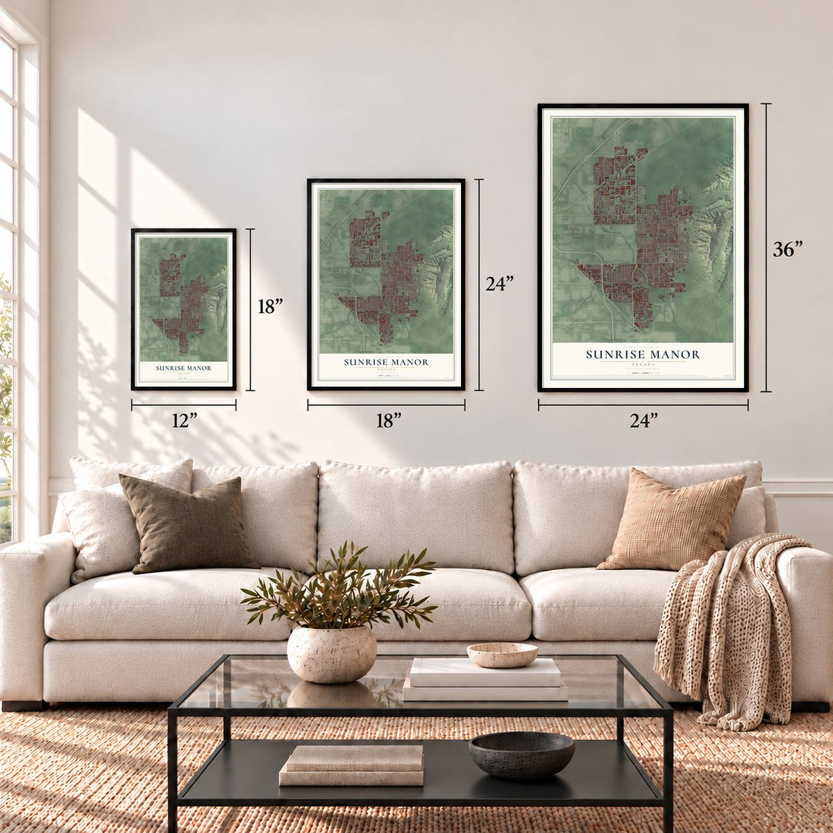
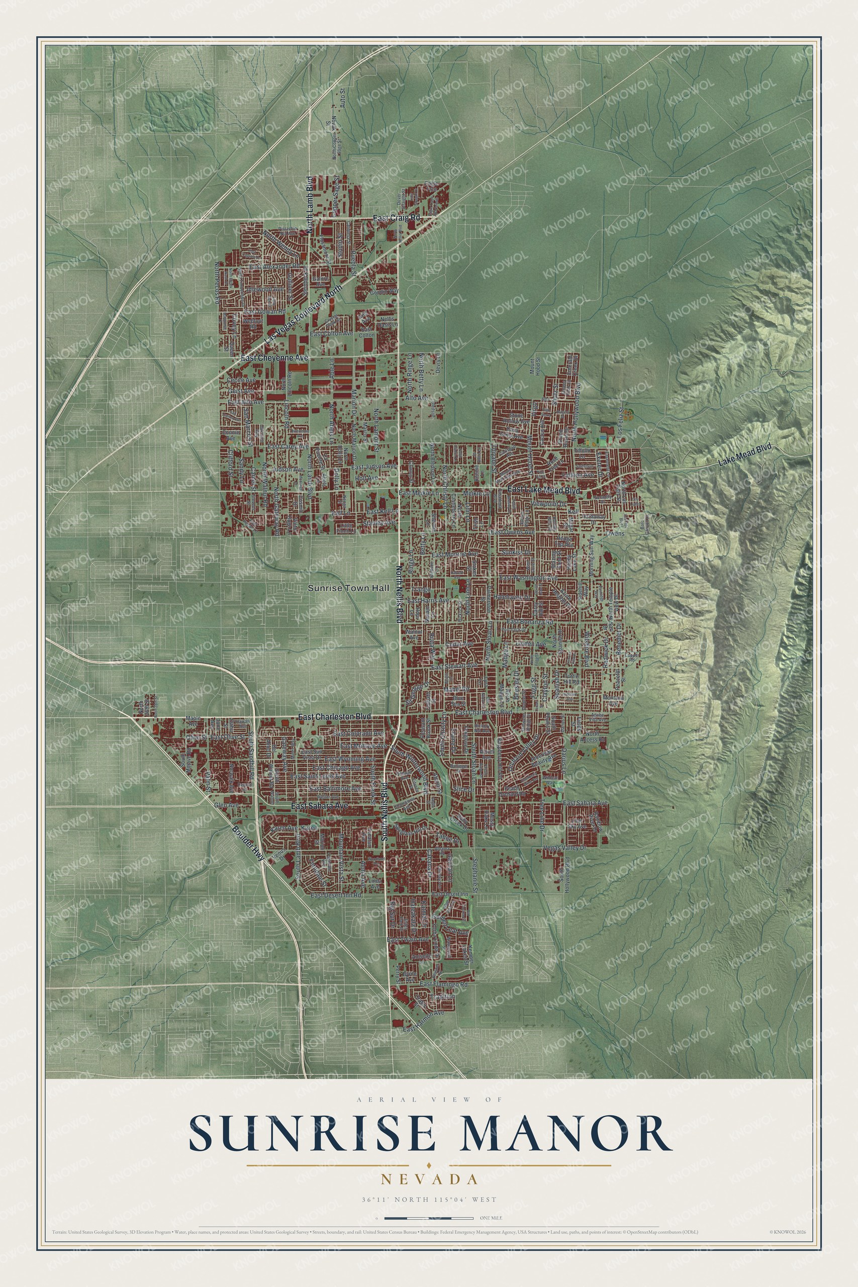
Sunrise Manor, Nevada Map Art
Building by building, with labeled streets and shaded relief.
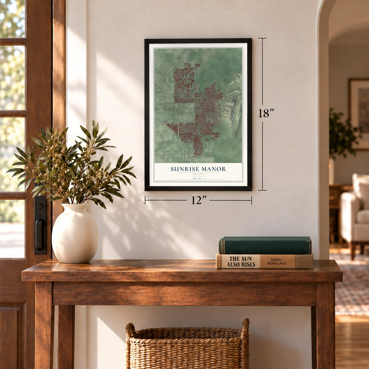
12" x 18" Archival Matte Print
A Map of Home. A Work of Art.
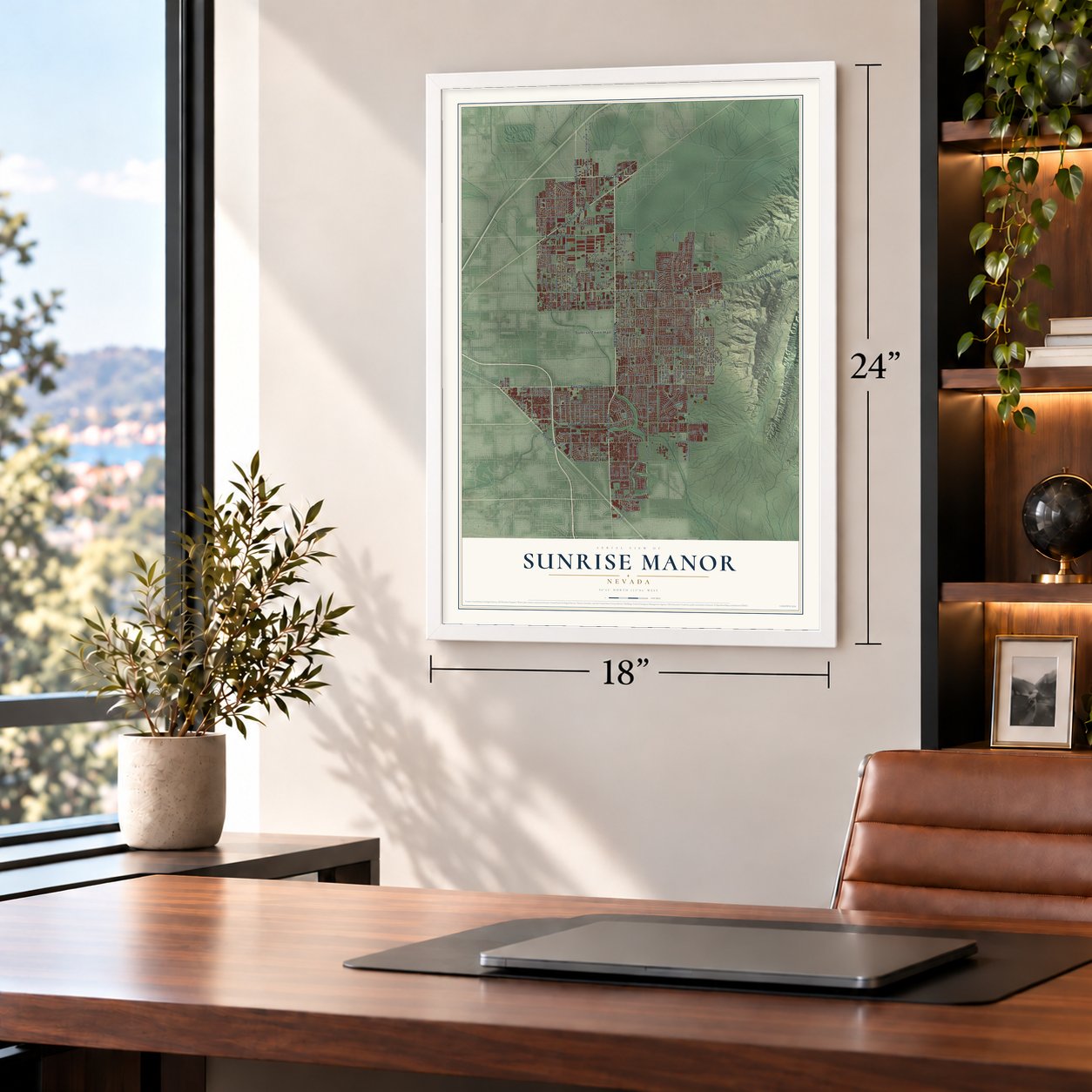
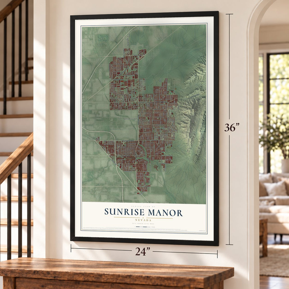
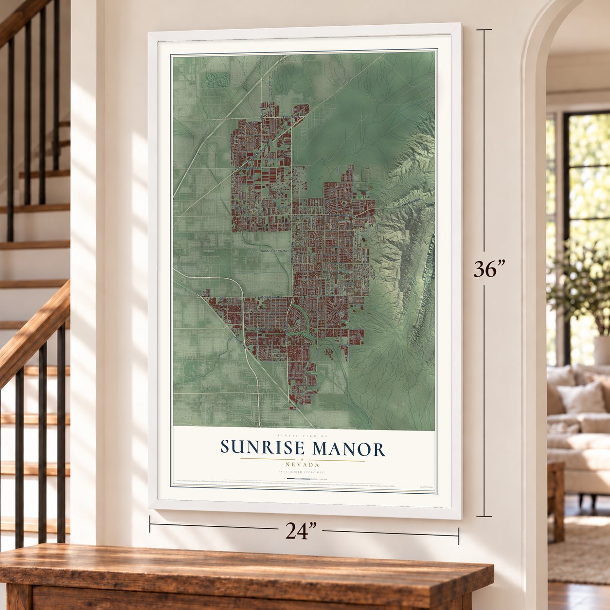
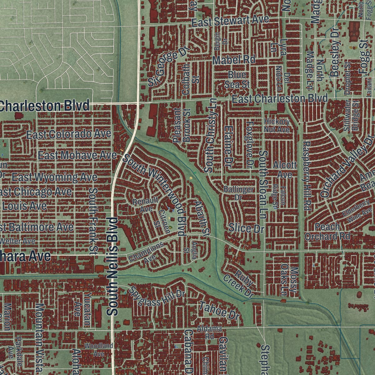
Explore Sunrise Manor, Nevada from a whole new perspective. Created using aerial imagery and detailed geographic data, this map captures Sunrise Manor building by building, with labeled streets, familiar landmarks, and shaded topographical relief that highlights the natural contours of the landscape.
Combining modern data with the timeless character of a vintage atlas, this map is just as interesting up close as it is beautiful on the wall. Whether you grew up in Sunrise Manor, spent memorable years there, or call it home today, this unique map is a great way to celebrate a place that means something to you. Zoom in on the preview to look for your street, and then order a print to put your memories on the wall.
Three ways to hang it
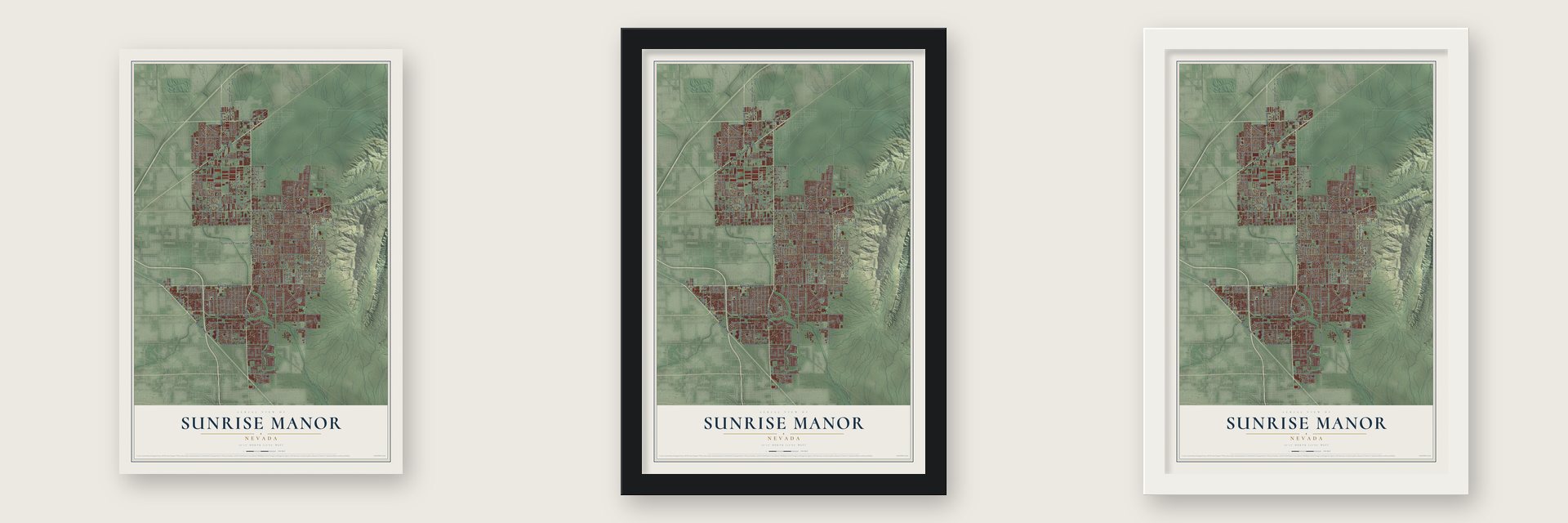
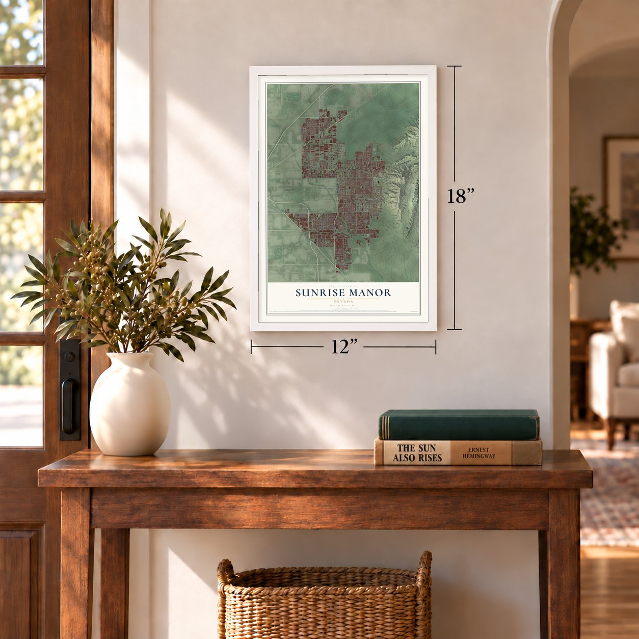
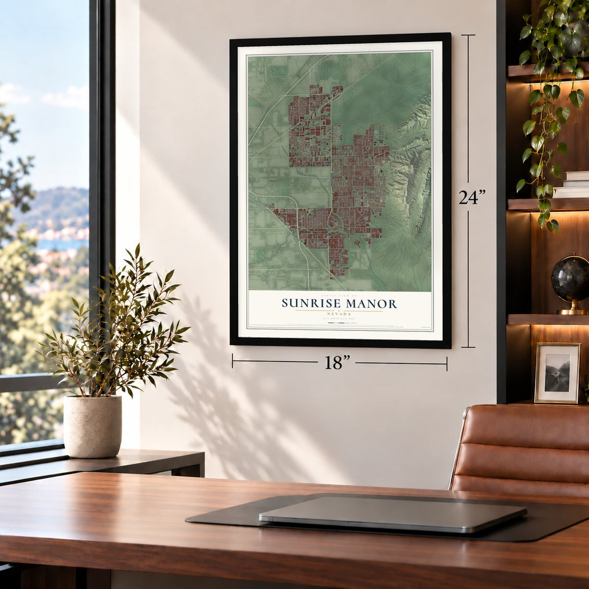
Unframed archival matte, a black wood frame or a white wood frame.
Up close
Geography Worth Displaying
This map was created using accurate cartographic data and authoritative geographic sources, including the U.S. Geological Survey and the Census Bureau. The map brings together terrain, waterways, roads, and building detail. The majority of the streets are labeled, houses are accurately depicted, and the topography is derived from government sources. Combining local data with carefully composed color and shading leads to this beautifully detailed Sunrise Manor artwork for your wall.
Rather than simply showing street outlines, we’ve included as many of the street names as we could reasonably fit on the map while keeping their names legible. Zoom in on the high resolution preview to see exactly what’s on the map. We truly set out to create a statement piece for anyone who loves Sunrise Manor. So whether it’s for you, or a gift for someone you love, we hope this map of Sunrise Manor brings back fond memories.
Read the story behind this map of Sunrise Manor, Nevada from 2026.

Find your street
Names on the Sunrise Manor map
Every name below is printed on this map. Look for your street, your school, the park where you played, or the pond down the road.
Places and landmarks1
- Sunrise Town Hall
Streets and roads307
- South Nellis Boulevard
- North Lamb Boulevard
- Boulder Highway
- North Nellis Boulevard
- East Charleston Boulevard
- Las Vegas Boulevard North
- East Lake Mead Boulevard
- East Craig Road
- East Sahara Avenue
- East Cheyenne Avenue
- Lake Mead Boulevard
- South Sandhill Road
- South Christy Lane
- Glen Avenue
- North Christy Lane
- East Carey Avenue
- Auto Street
- East Alto Avenue
- Alto Avenue
- South Lamb Boulevard
- North Ringe Lane
- Virgo
- Vegas Valley Drive
- East Owens Avenue
- North Hollywood Boulevard
- Judson Avenue
- Betty Lane
- North Walnut Road
- Marion Drive
- North Pecos Road
Show all 307 streets
- North Linn Lane
- Los Feliz Street
- North Betty Lane
- North Lamont Street
- East Washington Avenue
- East Bonanza Road
- East Stewart Avenue
- North Sloan Lane
- Lincoln Road
- East Wyoming Avenue
- Radwick Drive
- East Kell Lane
- Kell Lane
- Shatz Street
- Sandy Lane
- East Desert Inn Road
- East Alexander Road
- Tree Line Drive
- Mount Hood Street
- North Gateway Road
- Olive Street
- East Saint Louis Avenue
- Cecile Avenue
- Cabana Drive
- Linden Avenue
- South Sloan Lane
- Beesley Drive
- East Gowan Road
- East Olive Street
- East Baltimore Avenue
- Ringe Lane
- East Chicago Avenue
- Orchard Valley Drive
- Copper Sage Street
- East Colorado Avenue
- Fogg Street
- East Meikle Lane
- Meikle Lane
- South Frank Street
- Mabel Road
- East Monroe Avenue
- East Flamingo Road
- East Judson Avenue
- Cedar Avenue
- Spanish Drive
- South Winterwood Boulevard
- Geist Avenue
- Toiyabe Street
- Linn Lane
- Palm Street
- Stephanie Street
- Stanley Avenue
- Madge Lane
- East Harmon Avenue
- East Harris Avenue
- Clifford Street
- Mountain Vista Street
- East Colton Avenue
- Gateway Avenue
- Karen Avenue
- Clayton Street
- Puebla Street
- Sir George Drive
- North Wendy Lane
- East Mohave Avenue
- Viewpoint Drive
- Covey Lane
- Dolly Lane
- Golden Leaf Avenue
- Camel Street
- Wilshire Boulevard
- Riata Way
- Aloha Avenue
- Halehaven Drive
- East Twain Avenue
- North Abels Lane
- Ferndale Street
- Holt Avenue
- Fallona Avenue
- Darius Lane
- Studio Street
- Idlewood Avenue
- Tahoe Drive
- San Marcos Street
- Benedict Drive
- Gavilan Lane
- Gulliver Street
- Big Sur Drive
- Haleakala Drive
- Katmai Drive
- Sunkiss Drive
- Trango
- Elaine Drive
- Exeter Drive
- Tradition
- Owens
- Slice Drive
- Able Lane
- Karen
- Kell
- Novak Street
- South Hollywood Boulevard
- North Los Feliz Street
- North Bledsoe Lane
- American Beauty Avenue
- North Castleberry Lane
- Eagle Trce
- Morning Sun Way
- North Marion Drive
- North Spanish Drive
- North Lincoln Road
- Marion Street
- South Mojave Road
- Turtle Hill Road
- Goodin Way
- Flossmoor Street
- Spyglass Hill Drive
- Sari Drive
- Steinbeck Drive
- Kemper Lakes Street
- North Madge Lane
- East Desert Inn
- Raspberry Hill Road
- Rainbow River Drive
- Azure Heights Place
- Linda Avenue
- Peach Orchard Road
- Yorba Linda Drive
- Bonnie Lane
- Casa Loma Avenue
- North Temple View Drive
- Alcott Avenue
- Yucatan Avenue
- Venus Drive
- Stone Hollow Avenue
- Foxglove Drive
- East Sun Vista Drive
- Grand Basin Drive
- Marco Street
- Crater Street
- Norwalk Avenue
- Abarth Street
- Rose Tree Lane
- Cactus Hill
- Hathaway Drive
- South Walnut Road
- Palmerston Street
- Blue Sea Street
- Magar Street
- Ruby Creek Drive
- North Access Road
- Blazing Sand Street
- Emerald Creek Drive
- Pleasant Brook Street
- Tiffollo Lane
- Clancy Street
- Lilac Sky Avenue
- North 26th Street
- La Puente Street
- Honey Lake Street
- Mossy Oaks Lane
- Sidehill Way
- Del Almo Drive
- Devry Lane
- Colbath Street
- Peaceful Street
- North Dolly Lane
- Abels Lane
- Queen Street
- Walnut Avenue
- Sherwin Lane
- Hopi Lane
- Navajo Lane
- East Colton
- Connie Avenue
- South Phyllis Street
- Nellis Oasis Lane
- Montana Avenue
- Maple Avenue
- Perry Street
- Hedge Top Avenue
- Victor Hugo Lane
- Stokes Street
- Webfoot Road
- Anisette Lane
- Little Finch Lane
- Oahu Street
- June Avenue
- Arid Avenue
- Byrne Avenue
- Trish Lane
- Cosmic Drive
- Carey Hall Street
- Galore Avenue
- Fields Street
- Lyra Lane
- Welter Avenue
- Calimesa Street
- Parkdale Avenue
- Miner Way
- Bledsoe Lane
- North Timberlake Drive
- Ballinger Drive
- Baro Canyon Drive
- Champions Avenue
- Mount McKinley Avenue
- Citroen Street
- Copper Road
- Crystal Peak Drive
- Piccadily Drive
- Stevens Street
- North Copper Sage Street
- Waynesvill Street
- Renault Avenue
- Pistachio Nut Avenue
- Blue Ash Lane
- Carlsbad Avenue
- Chimayo Lane
- Easement Lane
- Port Tack Drive
- East Pecan Lane
- Stillwater Bridge Street
- Spruce Ridge Lane
- Pasadena Boulevard
- Dover Straight Street
- Beisner Street
- Wildcat Way
- Hickock Street
- Oak Glen Way
- Bledsoe
- Droplet Street
- Alto
- Galena Peak Lane
- Central Drive
- Estes Park Drive
- Darius Street
- Jo Anne Lane
- Adobe Villa Avenue
- Neoga Street
- Aldama Road
- Wind Cove Street
- Hickory Nut Avenue
- Rolling Hills Drive
- Hawaii Avenue
- South Walnut
- Del Nido Lane
- North Beesley Drive
- North Fogg Street
- Moonlight Drive
- Lailani Street
- Woodland Avenue
- Elderberry Wine Avenue
- North Eblick Wash Drive
- High Sierra
- Eagle Trace Apartments
- North 28th Street
- Riverstone Avenue
- Lone Oak Street
- Eastridge Way
- Soldela Drive
- Los Feliz Boulevard
- Anglia Street
- Bergin Drive
- Lime Straight Drive
- San Carlos Avenue
- North Clinton Lane
- East Capsule Drive
- City Lights
- Old Course Street
- Falcon Ridge Street
- Marquette Drive
- Isolated Avenue
- Pine Hill Street
- Halvern Avenue
- Devon Lake Street
- Rutgers Drive
- Sunrise Villa Drive
Names are listed as they appear on the printed map. Zoom into the product photos to find them.
About Sunrise Manor, Nevada
Sunrise Manor is an unincorporated town of 205,618 people in Clark County, spread along the western foot of Frenchman Mountain east of Las Vegas. In 1957 the city of North Las Vegas made plans to annex the area, but the Clark County Commission opposed the move, and in May of that year it created the town of Sunrise Manor instead.
The first town covered only the northern part of today's Sunrise Manor. By the 1970 census a separate area called Vegas Creek had been drawn to its south, and when Vegas Creek was dissolved in 1980 its land went to Sunrise Manor, which gave the town roughly its present shape. The town kept growing, and by 2000 its 156,120 residents made it the nation's second most populous unincorporated town.
- A temple dedicated in 1989The Latter-day Saints built their Las Vegas Nevada Temple in Sunrise Manor, and it was dedicated on December 16, 1989.
- A high school from 1905Four high schools serve Sunrise Manor. The oldest, Las Vegas High School, opened in 1905 and moved to a new campus in 1993.
Keep exploring Nevada
Sunrise Manor is one of 148 Nevada towns we've mapped. Every dot on the map is a print of its own.
The search covers every state, Nevada first.
Near Sunrise Manor
Order 2 or more town maps and save 10%. Shown in the size and finish you picked above, so they hang as a set.
- Nellis AFB 12" x 18" / Archival Matte Print $39.99
- Whitney 12" x 18" / Archival Matte Print $39.99
- Downtown Las Vegas 12" x 18" / Archival Matte Print $39.99


More maps nearby: Winchester, West Las Vegas, Paradise, North Las Vegas and Henderson.
The art of mapping a place
How This Map Was Made
Real places. Remarkable detail. Discover the layers that turn geographic data into a map of home.

The view from above
Aerial imagery reveals the character of the land: woodland, open fields, and the patterns of a place.

The shape of the land
Elevation data brings hills, valleys, and subtle changes in the landscape into view.

The details of home
Roads, waterways, and building footprints come together to make the map feel unmistakably local.

Geography becomes art
Considered color, shading, and typography bring the layers together in a map made for your wall.


Process illustrated with Mendon, Massachusetts. Aerial imagery: USDA NAIP. Terrain: USGS 3D Elevation Program. Map details and finished artwork: KNOWOL.
The Details
About This Print
Choose an archival matte print, or a black or white Ayous wood frame. The archival matte print is unframed.
Select your size and finish above to see the matching product image and price.
Materials & Craftsmanship
A contemporary map with the character of a classic atlas, printed on archival matte paper. Optional frames are made from Ayous wood.
Your printed map does not include the watermark shown in the full-map preview.
Shipping & Delivery
Free shipping within the United States. Every print is made to order in the USA.
Buying a gift? Add a note in your cart and we'll include it. We never put prices in the package.
Prints ship within 2 to 3 business days. Allow 7 to 10 days total from ordering for delivery. Timing may vary during holidays or periods of high order volume.
Read our shipping policy.
Returns and damaged prints
Each print is made to order. Change-of-mind refunds are not available after production.
If your print arrives damaged, misprinted or incorrect, contact support@knowol.com within 30 days of receiving it. Include your order number, photos and a description of the issue.
Read our full refund and replacement policy. For questions about your order, email support@knowol.com.